Elevation of Leola, AR, USA
Location: United States > Arkansas > Grant County > Tennessee Township >
Longitude: -92.590993
Latitude: 34.1695418
Elevation: 84m / 276feet
Barometric Pressure: 100KPa
Elevation Map:
Satellite Map:
Related Photos:
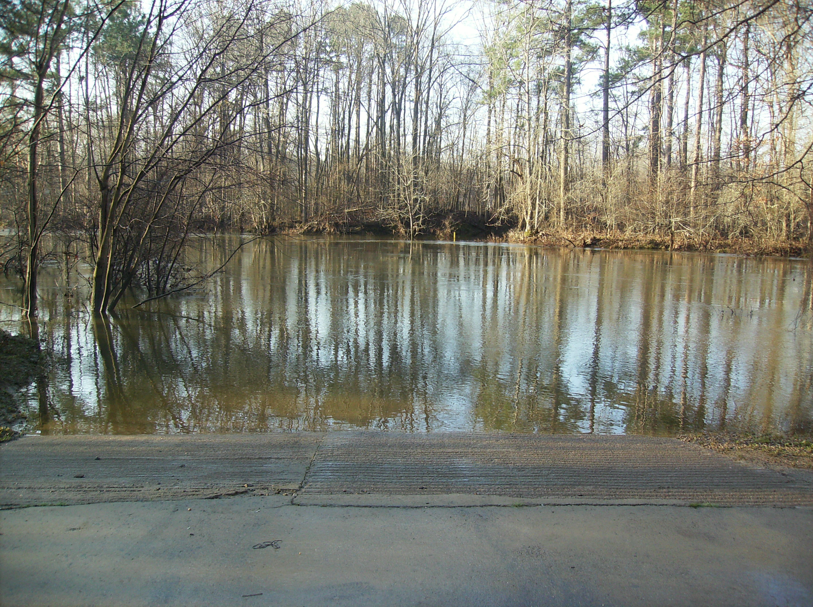
The Saline River

Confederate Monument Inscription

Battle of Jenkins' Ferry Confederate Monument
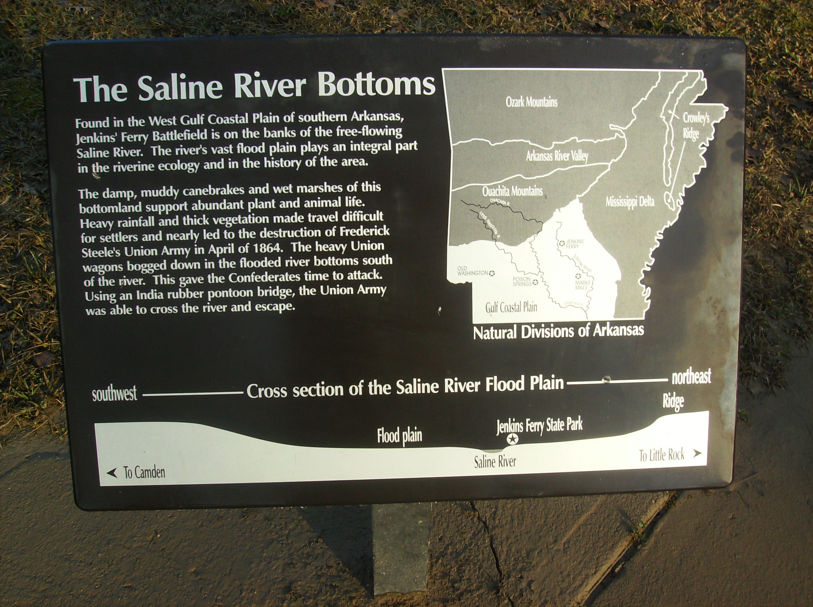
The Saline River Bottom Historical Marker

Jenkins' Ferry State Park Interpretive Sign

Deer feeding
Topographic Map of Leola, AR, USA
Find elevation by address:

Places in Leola, AR, USA:
Places near Leola, AR, USA:
Tennessee Township
AR-, Leola, AR, USA
Carthage
Chester Township
2473 Hwy 190 S
Prattsville
Calvert Township
River Township
88 AR-, Poyen, AR, USA
Poyen
Fenter Township
Dallas County
AR-, Prattsville, AR, USA
Grant County
US-, Carthage, AR, USA
Co Rd 9, Sheridan, AR, USA
AR-35, Sheridan, AR, USA
1430 Skyline Dr
Sheridan
Forest Road 9117
Recent Searches:
- Elevation of Beall Road, Beall Rd, Florida, USA
- Elevation of Leguwa, Nepal
- Elevation of County Rd, Enterprise, AL, USA
- Elevation of Kolchuginsky District, Vladimir Oblast, Russia
- Elevation of Shustino, Vladimir Oblast, Russia
- Elevation of Lampiasi St, Sarasota, FL, USA
- Elevation of Elwyn Dr, Roanoke Rapids, NC, USA
- Elevation of Congressional Dr, Stevensville, MD, USA
- Elevation of Bellview Rd, McLean, VA, USA
- Elevation of Stage Island Rd, Chatham, MA, USA