Elevation of US-, Carthage, AR, USA
Location: United States > Arkansas > Dallas County > Chester Township > Carthage >
Longitude: -92.409143
Latitude: 34.0847736
Elevation: 53m / 174feet
Barometric Pressure: 101KPa
Elevation Map:
Satellite Map:
Related Photos:

#oldsrkansas at #ouachitacountycourthouse
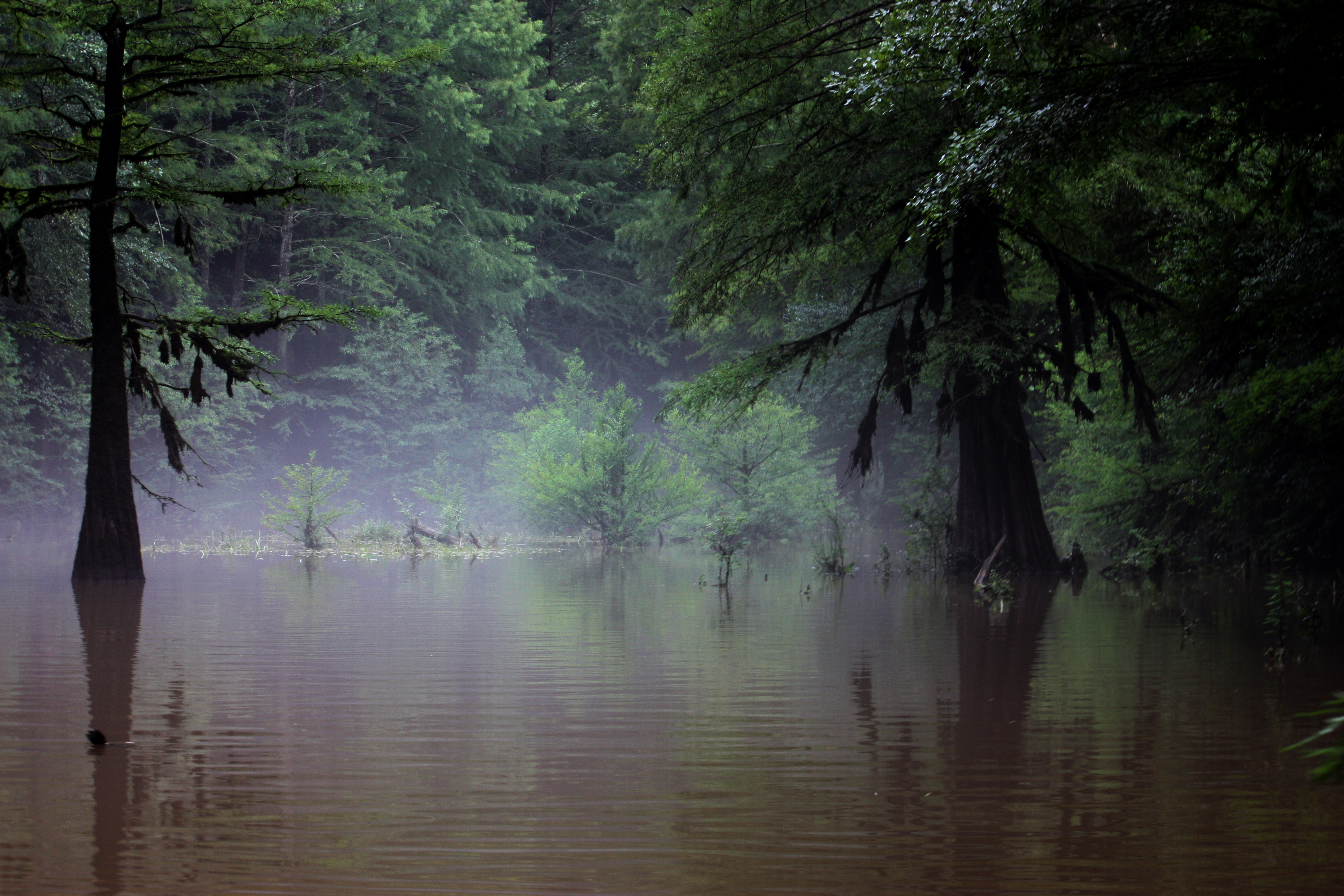
Saline River

Sister's Family

Family Gazebo.jpg
Topographic Map of US-, Carthage, AR, USA
Find elevation by address:

Places near US-, Carthage, AR, USA:
Chester Township
Calvert Township
White Oak Bluff Rd, Rison, AR, USA
Mill Rd, Rison, AR, USA
Carthage
White Oak Township
Forest Road 9117
Grant County
AR-35, Sheridan, AR, USA
Co Rd 9, Sheridan, AR, USA
Leola
Kingsland Township
Spring Township
Tennessee Township
Sheridan
Sulphur Springs Rd, Pine Bluff, AR, USA
1430 Skyline Dr
2473 Hwy 190 S
Rison Township
Merry Green Township
Recent Searches:
- Elevation of 15th Ave SE, St. Petersburg, FL, USA
- Elevation of Beall Road, Beall Rd, Florida, USA
- Elevation of Leguwa, Nepal
- Elevation of County Rd, Enterprise, AL, USA
- Elevation of Kolchuginsky District, Vladimir Oblast, Russia
- Elevation of Shustino, Vladimir Oblast, Russia
- Elevation of Lampiasi St, Sarasota, FL, USA
- Elevation of Elwyn Dr, Roanoke Rapids, NC, USA
- Elevation of Congressional Dr, Stevensville, MD, USA
- Elevation of Bellview Rd, McLean, VA, USA