Elevation of AR-, Leola, AR, USA
Location: United States > Arkansas > Grant County > Tennessee Township > Leola >
Longitude: -92.646889
Latitude: 34.2195487
Elevation: 77m / 253feet
Barometric Pressure: 100KPa
Elevation Map:
Satellite Map:
Related Photos:

DSC06888
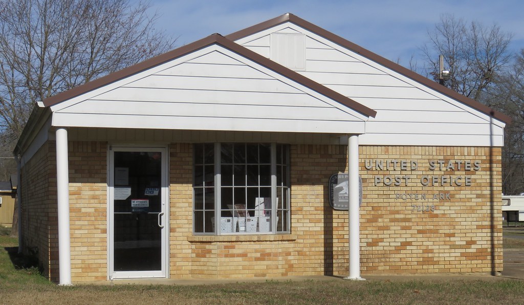
Post Office 72128 (Poyen, Arkansas)
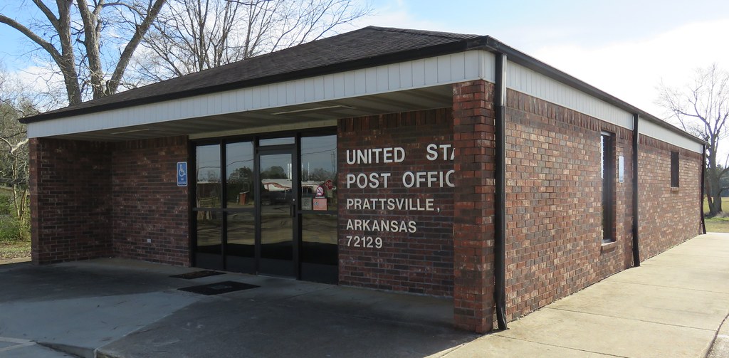
Post Office 72129 (Prattsville, Arkansas)

Dinner on the grounds
At Homecoming with a lot of great families, 3rd Sunday in July since ...forever

Favorite sister in-law
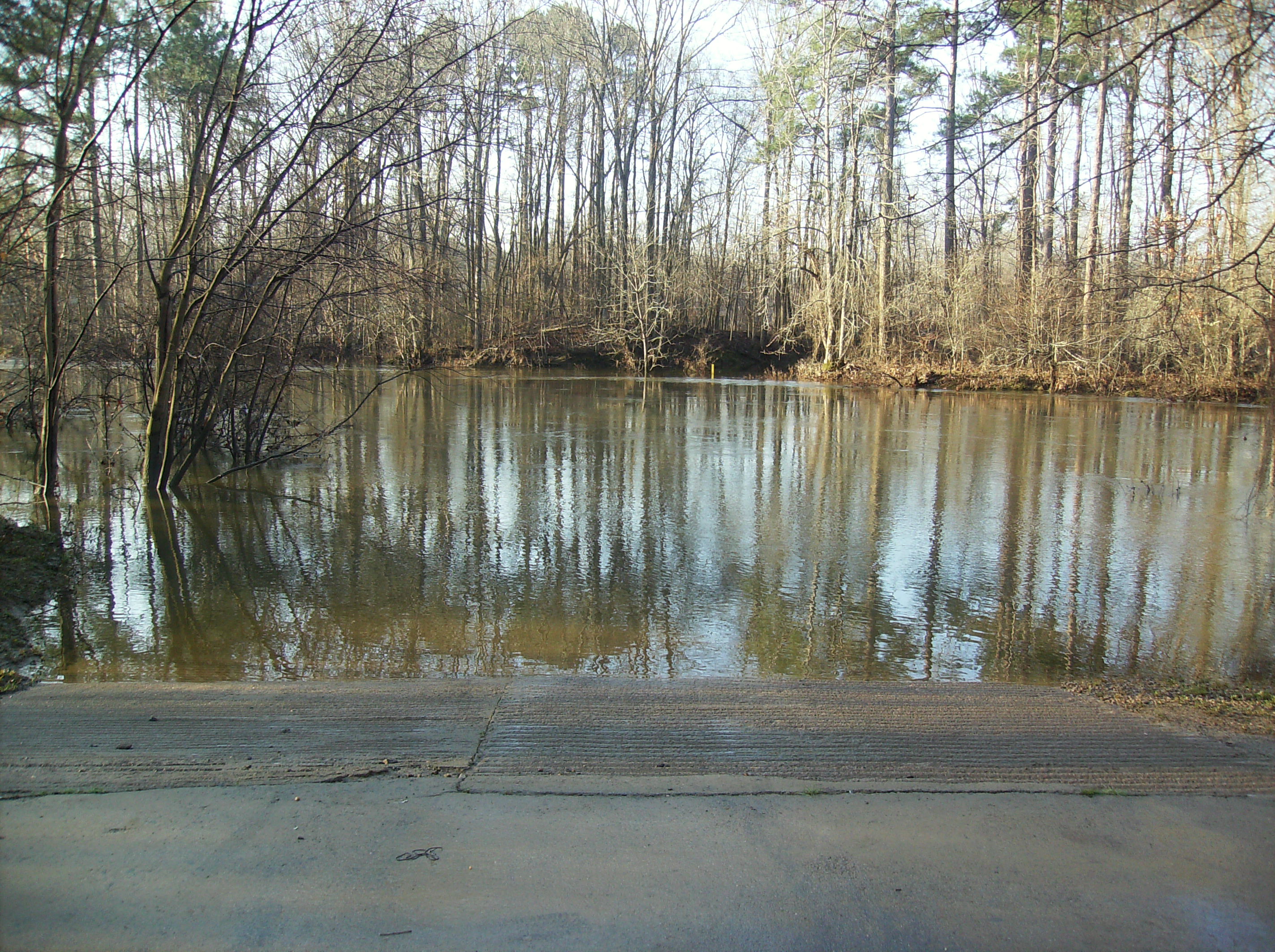
The Saline River

Confederate Monument Inscription

Battle of Jenkins' Ferry Confederate Monument
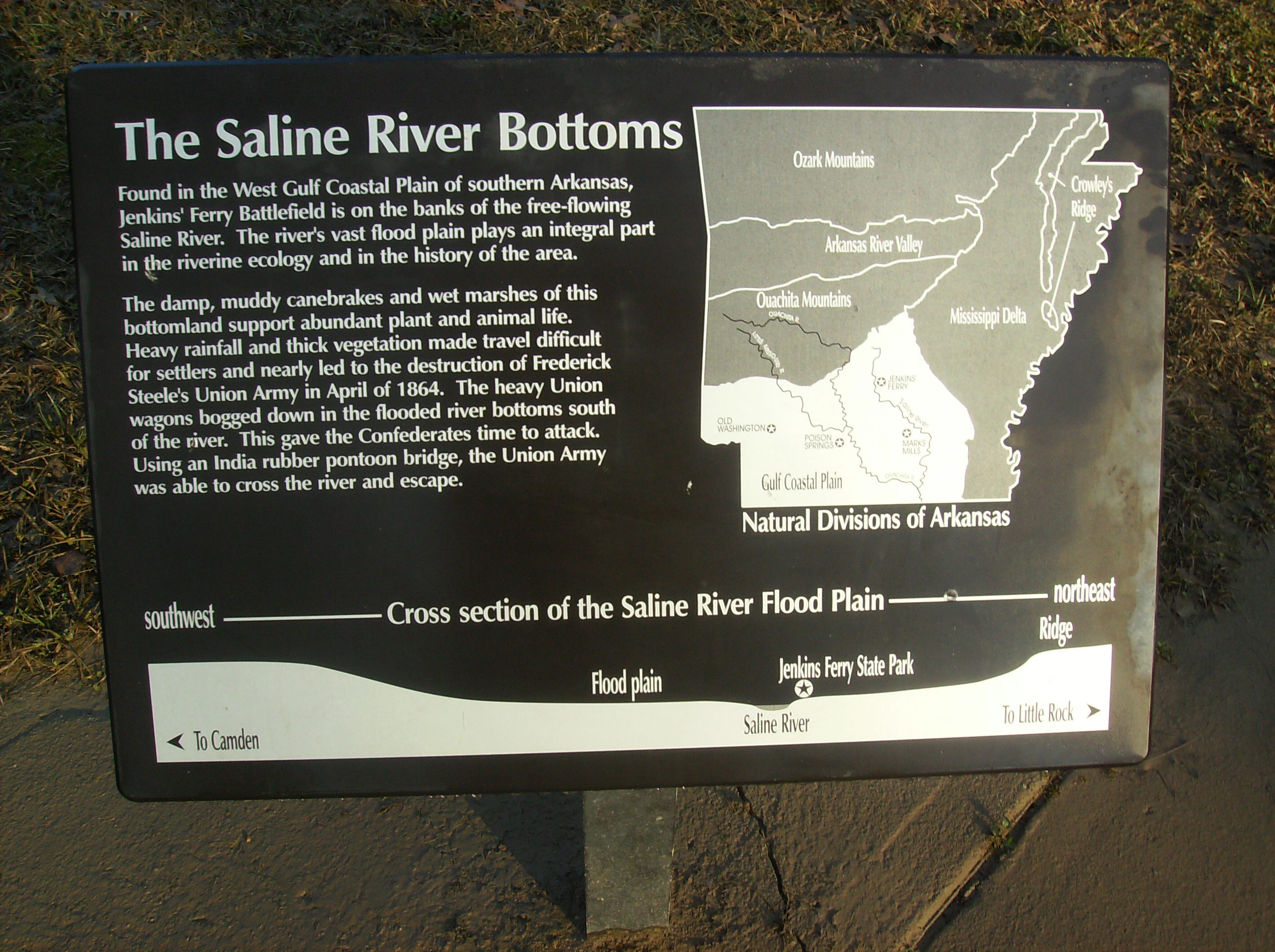
The Saline River Bottom Historical Marker

Jenkins' Ferry State Park Interpretive Sign

Deer feeding
Topographic Map of AR-, Leola, AR, USA
Find elevation by address:

Places near AR-, Leola, AR, USA:
Tennessee Township
Leola
88 AR-, Poyen, AR, USA
Poyen
Fenter Township
Prattsville
2473 Hwy 190 S
River Township
AR-, Prattsville, AR, USA
Carthage
Dallas County
Chester Township
Calvert Township
Grant County
Dekalb Township
Co Rd 9, Sheridan, AR, USA
Dallas, Sparkman, AR, USA
Tull
State Hwy N, Tull, AR, USA
8302 Main St
Recent Searches:
- Elevation of Leguwa, Nepal
- Elevation of County Rd, Enterprise, AL, USA
- Elevation of Kolchuginsky District, Vladimir Oblast, Russia
- Elevation of Shustino, Vladimir Oblast, Russia
- Elevation of Lampiasi St, Sarasota, FL, USA
- Elevation of Elwyn Dr, Roanoke Rapids, NC, USA
- Elevation of Congressional Dr, Stevensville, MD, USA
- Elevation of Bellview Rd, McLean, VA, USA
- Elevation of Stage Island Rd, Chatham, MA, USA
- Elevation of Shibuya Scramble Crossing, 21 Udagawacho, Shibuya City, Tokyo -, Japan