Elevation of Lawrenceville, VA, USA
Location: United States > Virginia > Brunswick County >
Longitude: -77.846937
Latitude: 36.7576469
Elevation: 79m / 259feet
Barometric Pressure: 100KPa
Elevation Map:
Satellite Map:
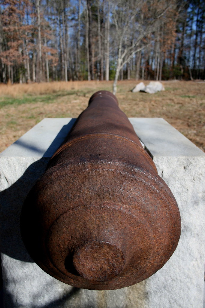
Related Photos:
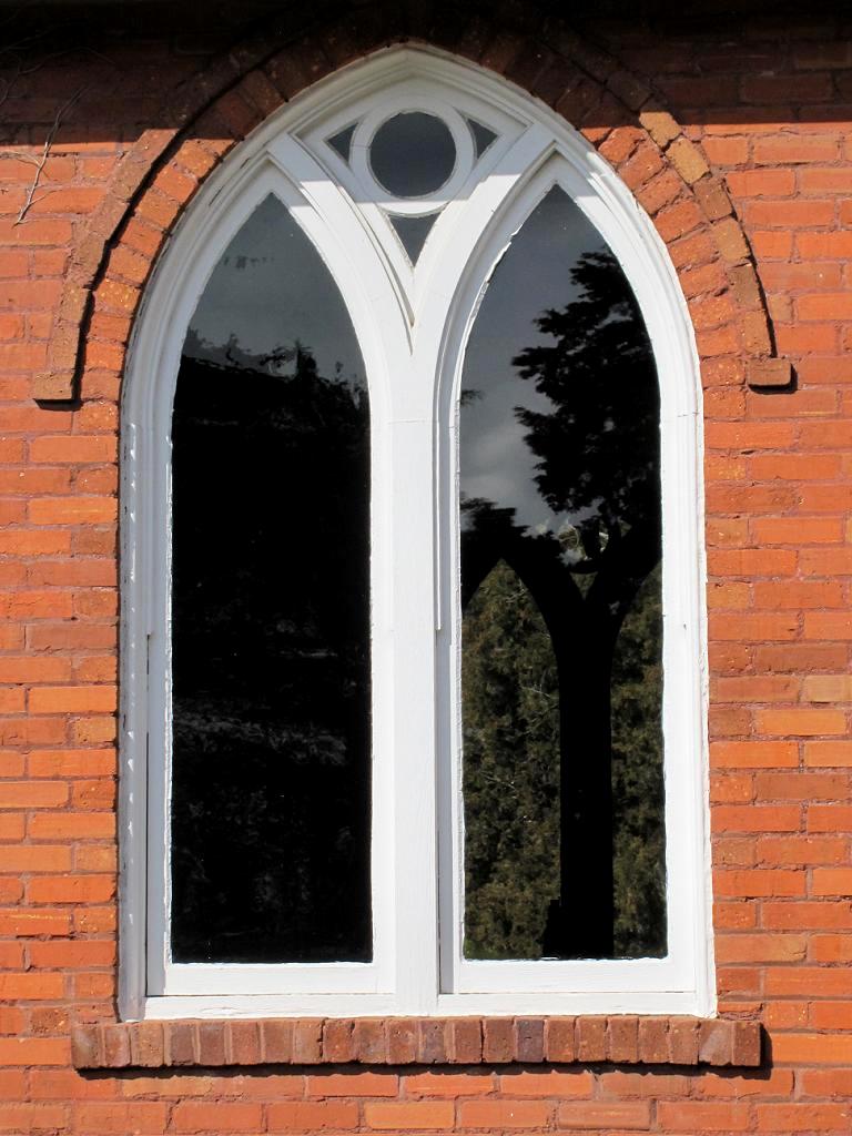
St. Mark's Church 3
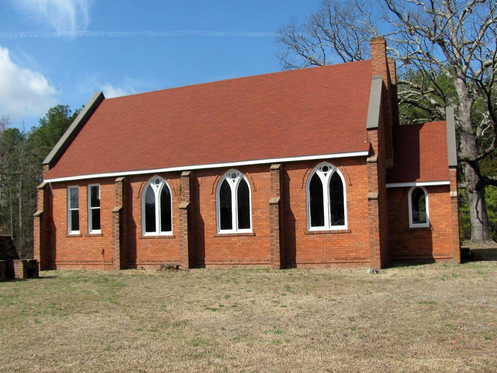
St. Mark's Church 2
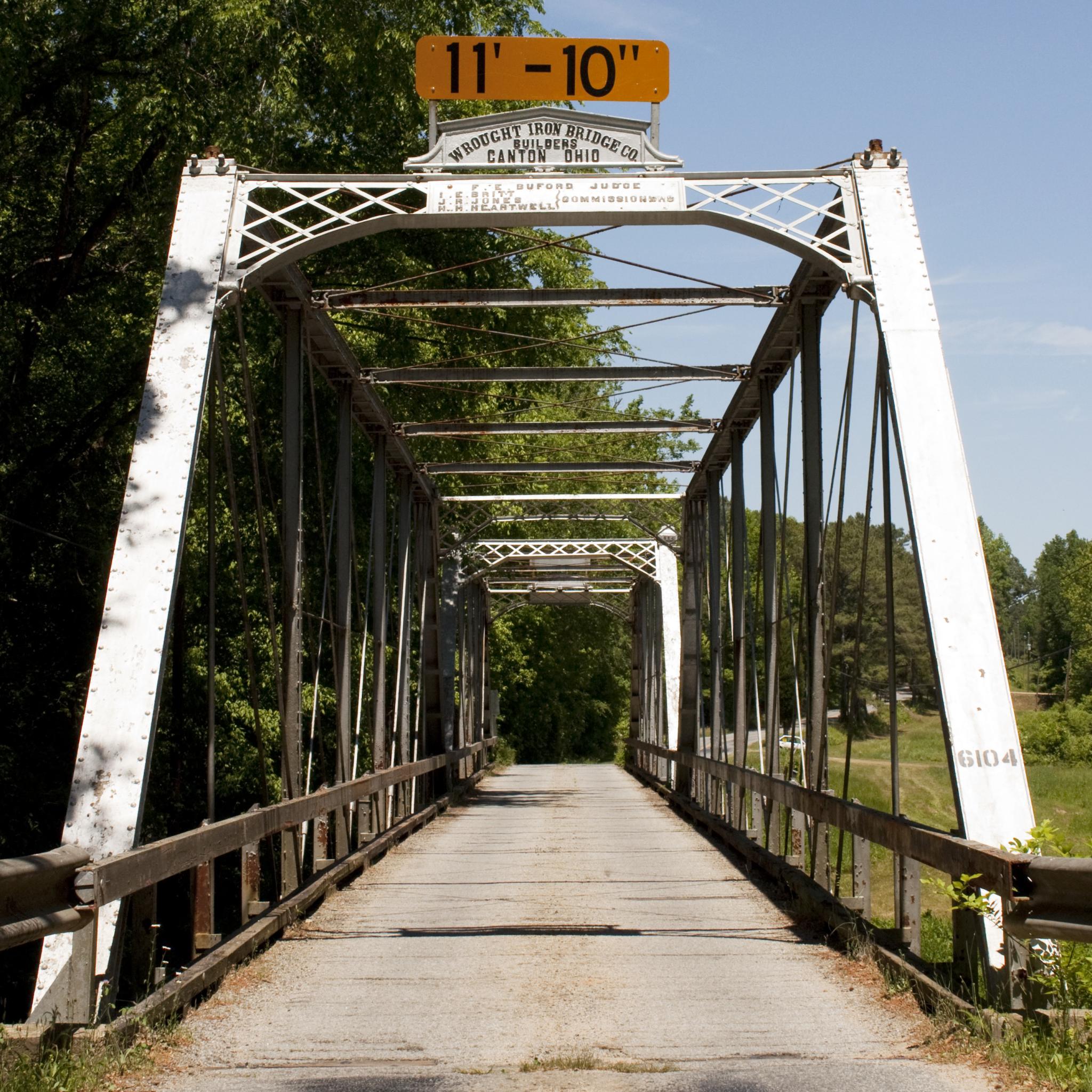
Gholson Bridge, Portal View
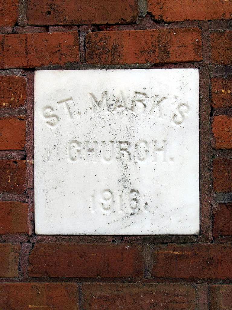
St. Mark's Church 4

Road trip views. #roadtrip #georgia #virginia
Fort Christanna Monument
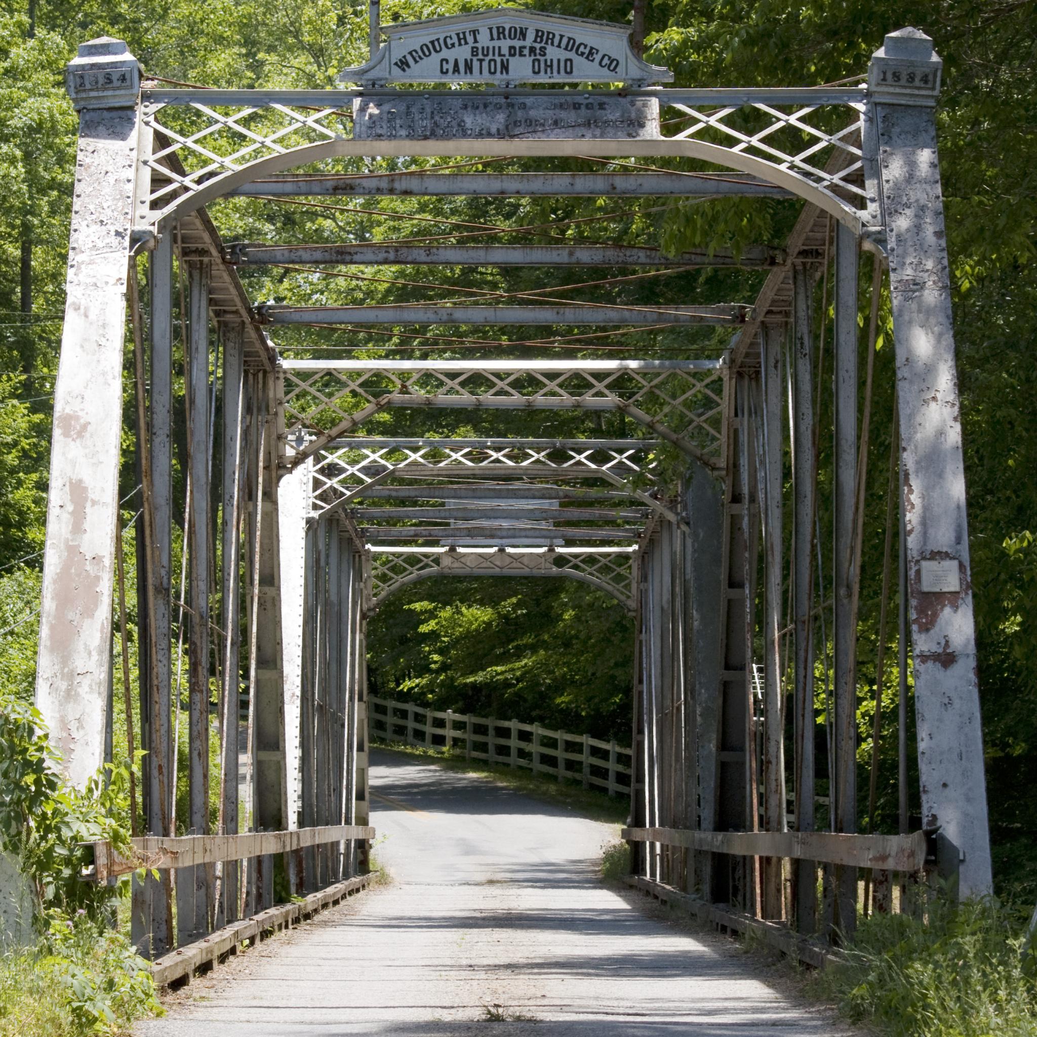
Gholson Bridge, Portal View
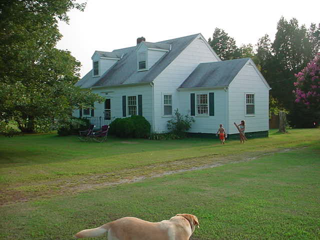
Our house in Alberta Virginia
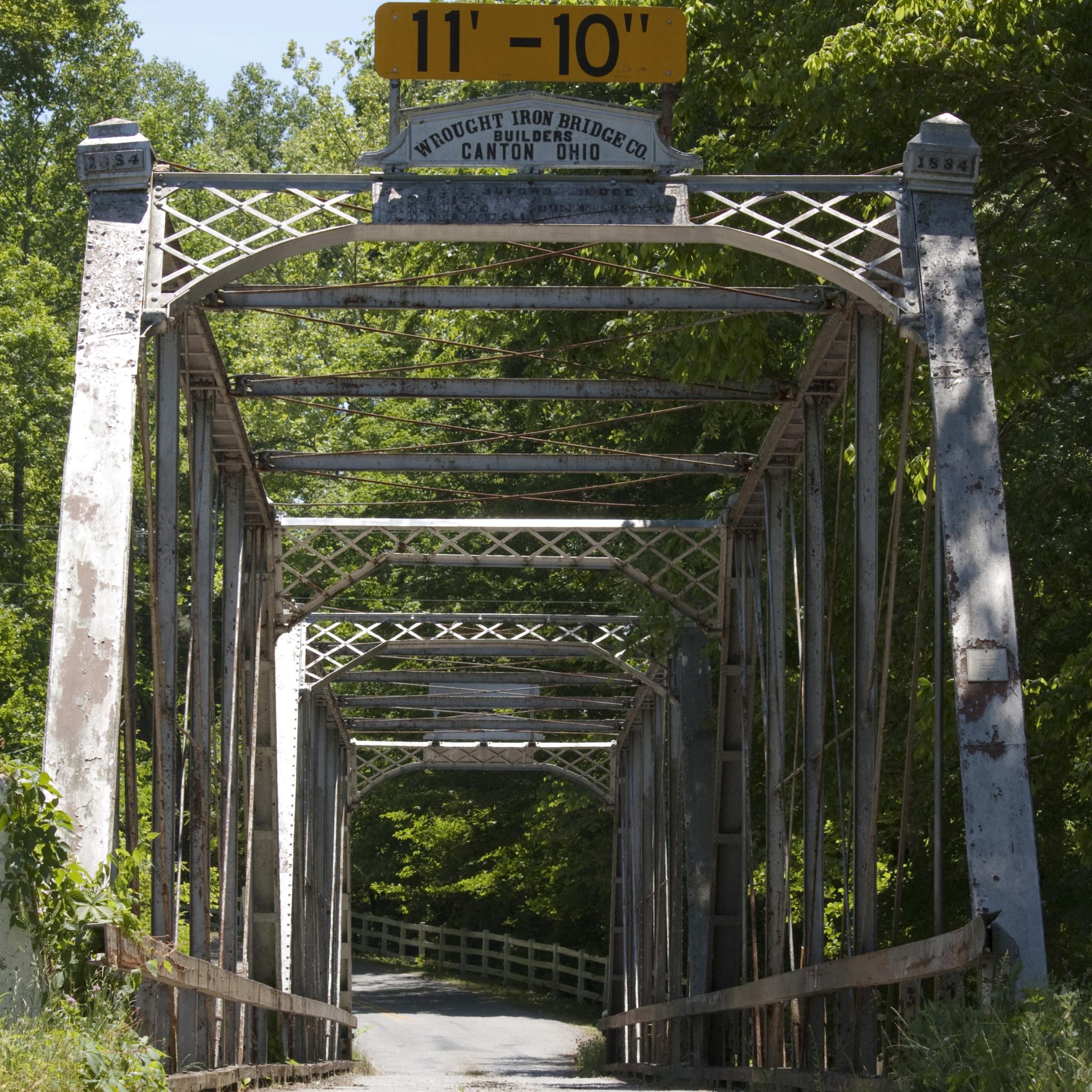
Gholson Bridge, Portal View
2011-06-05_13-26-44_66
2011-06-02_19-59-12_868.jpg
2011-06-02_20-07-17_506
gravel hill

Tobacco Heritage Trail
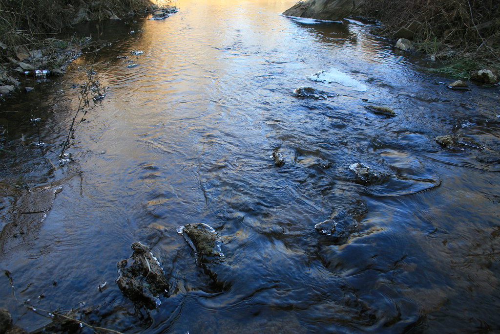
Icy Country Stream
Topographic Map of Lawrenceville, VA, USA
Find elevation by address:

Places near Lawrenceville, VA, USA:
Brunswick County
Beech Rd, Lawrenceville, VA, USA
13173 Western Mill Rd
Poor House Rd, Dolphin, VA, USA
Powellton
Alberta
Pineview Road
Freeman
Red Oak
Ankum Rd, Gasburg, VA, USA
Meherrin
Brodnax
Gasburg
122 Chapman's Ford Rd
2, VA, USA
Beaver Creek
19714 Manson Church Rd
4, VA, USA
222 Luck Cir
Joyceville
Recent Searches:
- Elevation of Abbey Dr, Virginia Beach, VA, USA
- Elevation of Brooks Lp, Spearfish, SD, USA
- Elevation of Panther Dr, Maggie Valley, NC, USA
- Elevation of Jais St - Wadi Shehah - Ras al Khaimah - United Arab Emirates
- Elevation of Shawnee Avenue, Shawnee Ave, Easton, PA, USA
- Elevation of Scenic Shore Dr, Kingwood Area, TX, USA
- Elevation of W Prive Cir, Delray Beach, FL, USA
- Elevation of S Layton Cir W, Layton, UT, USA
- Elevation of F36W+3M, Mussoorie, Uttarakhand, India
- Elevation of Fairland Ave, Fairhope, AL, USA