Elevation of Gasburg, VA, USA
Location: United States > Virginia > Brunswick County > Meherrin >
Longitude: -77.895747
Latitude: 36.5669362
Elevation: 94m / 308feet
Barometric Pressure: 100KPa
Elevation Map:
Satellite Map:
Related Photos:

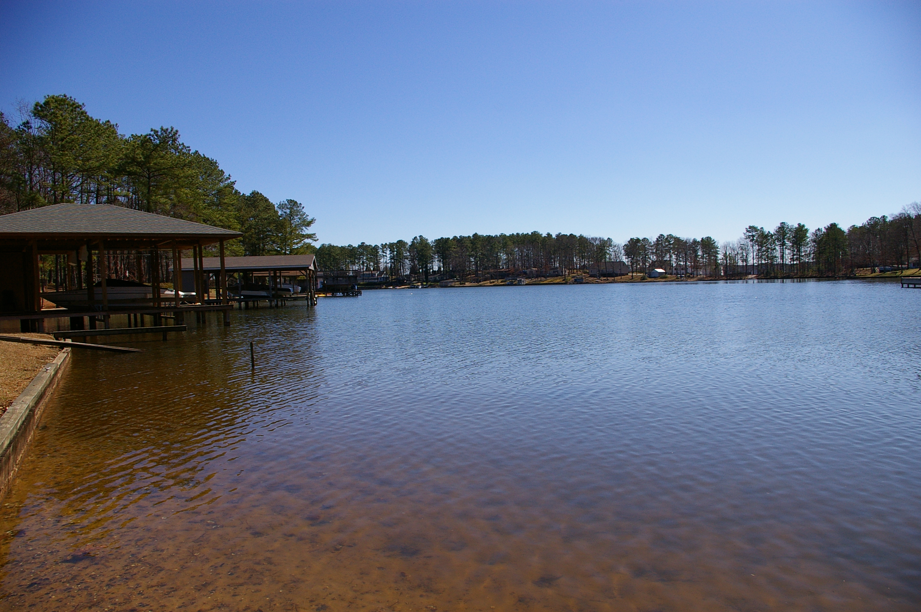
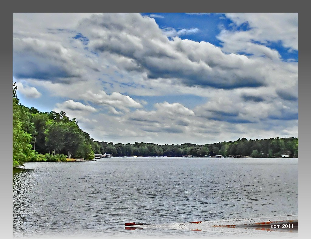
Lake Gaston
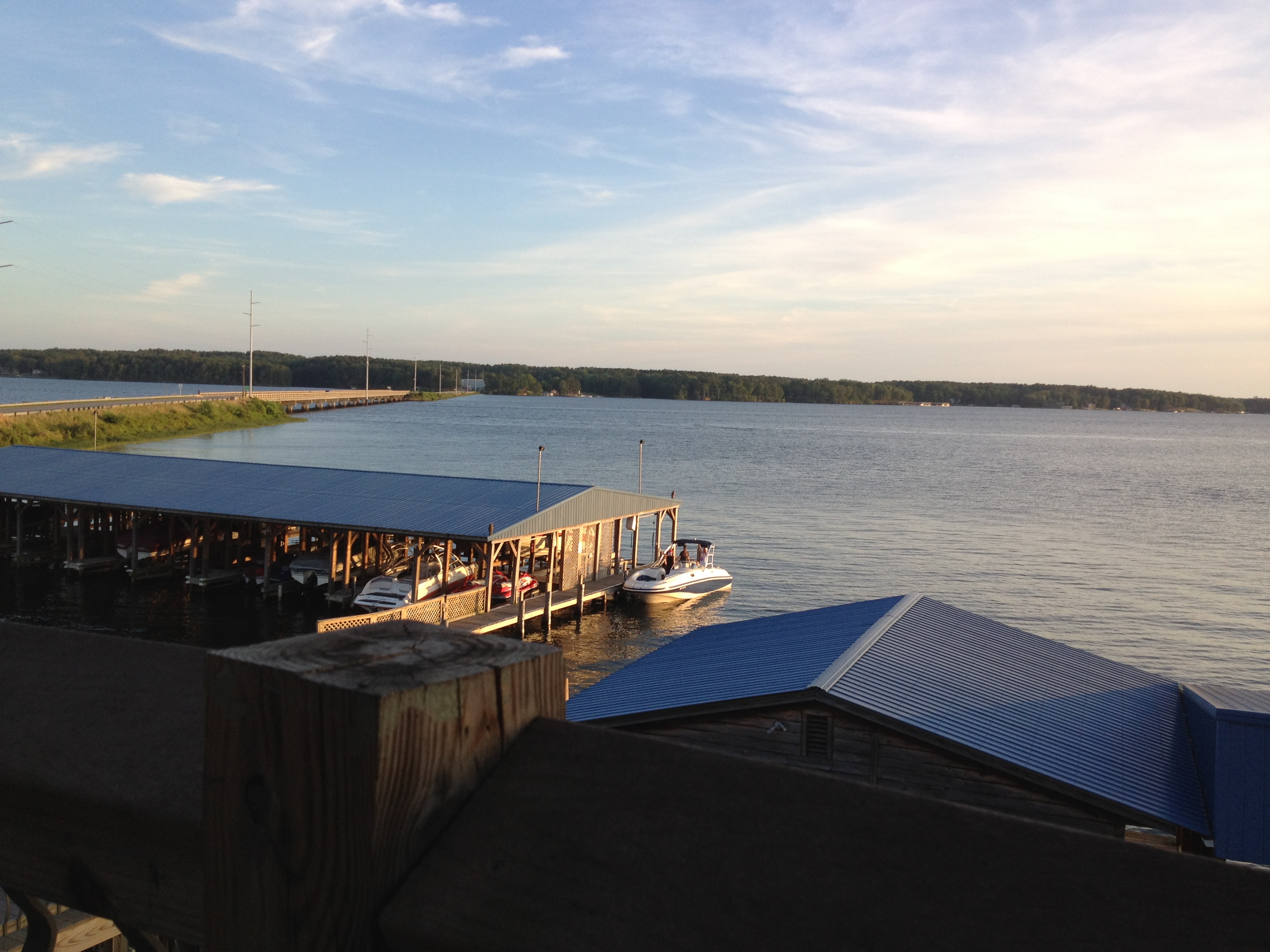
view from the resturant on the lake
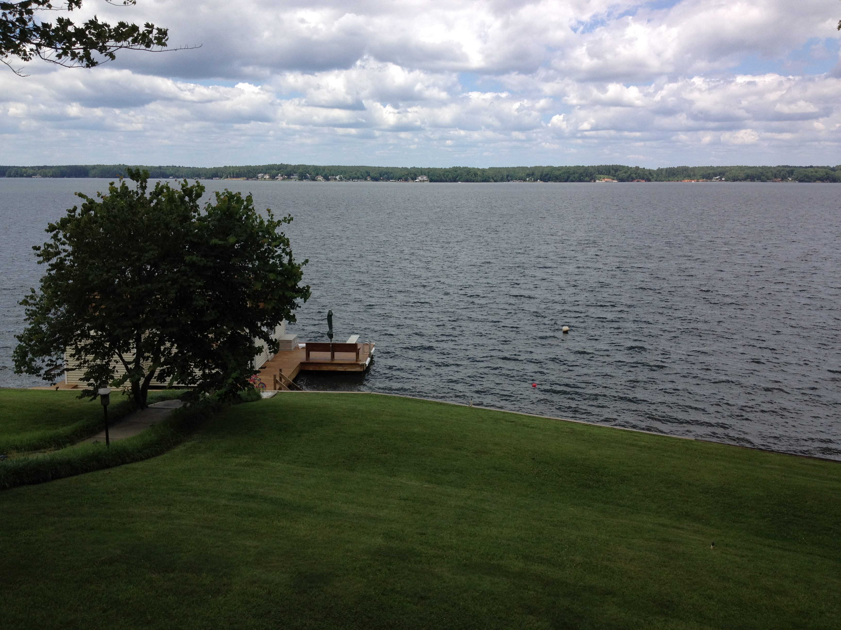
view from the deck
Side view

The view of the cove from the last stepping stone leading down to the water

View from the deck. Kids are already down there at the dock ready to go

Serenity #camp #lake #nc #igersnc
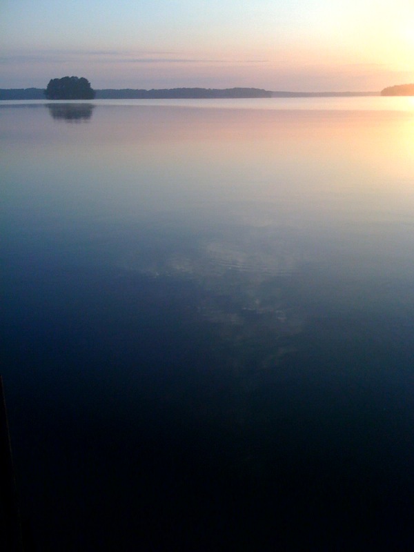
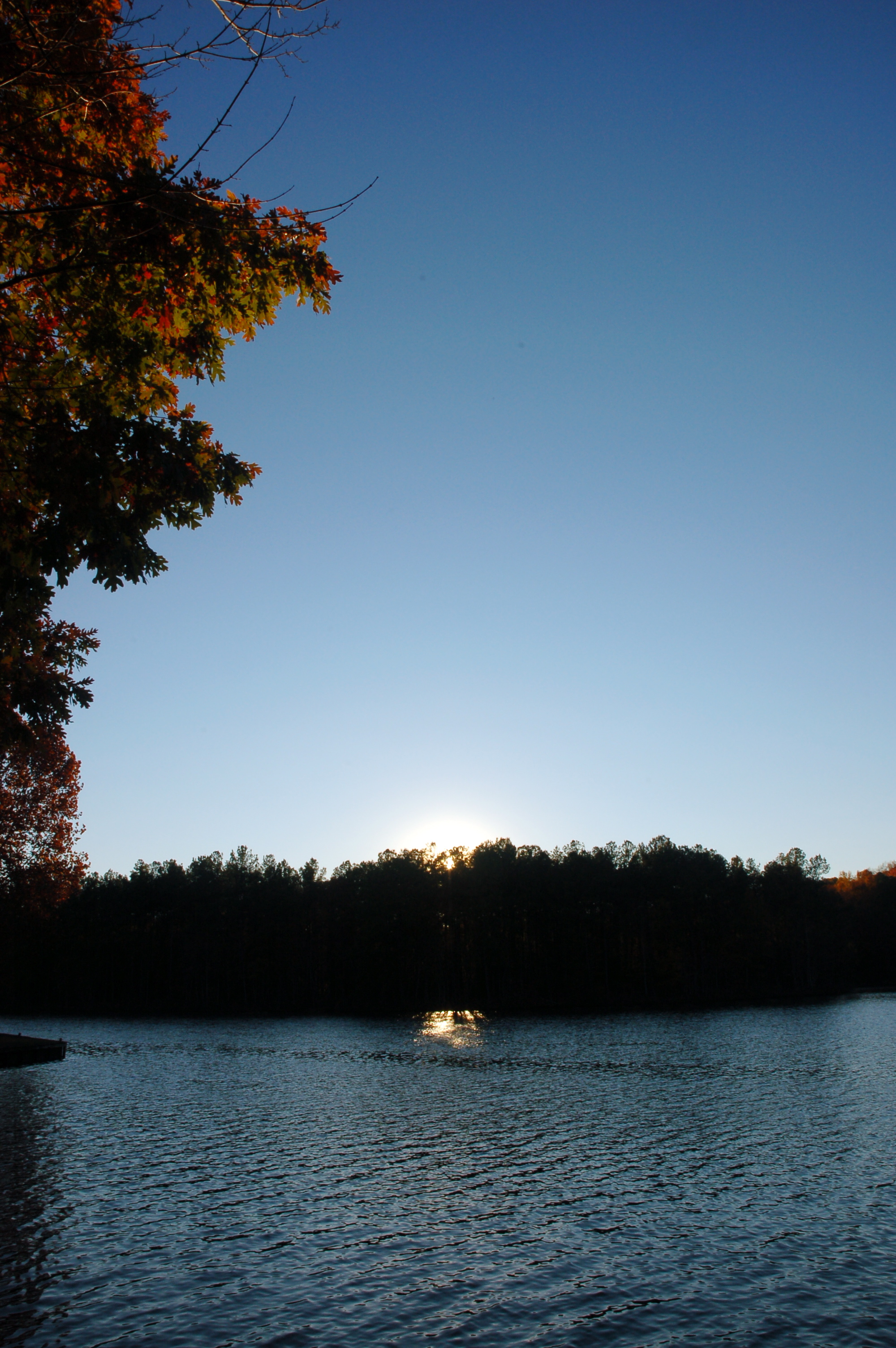
Gentle Dawn
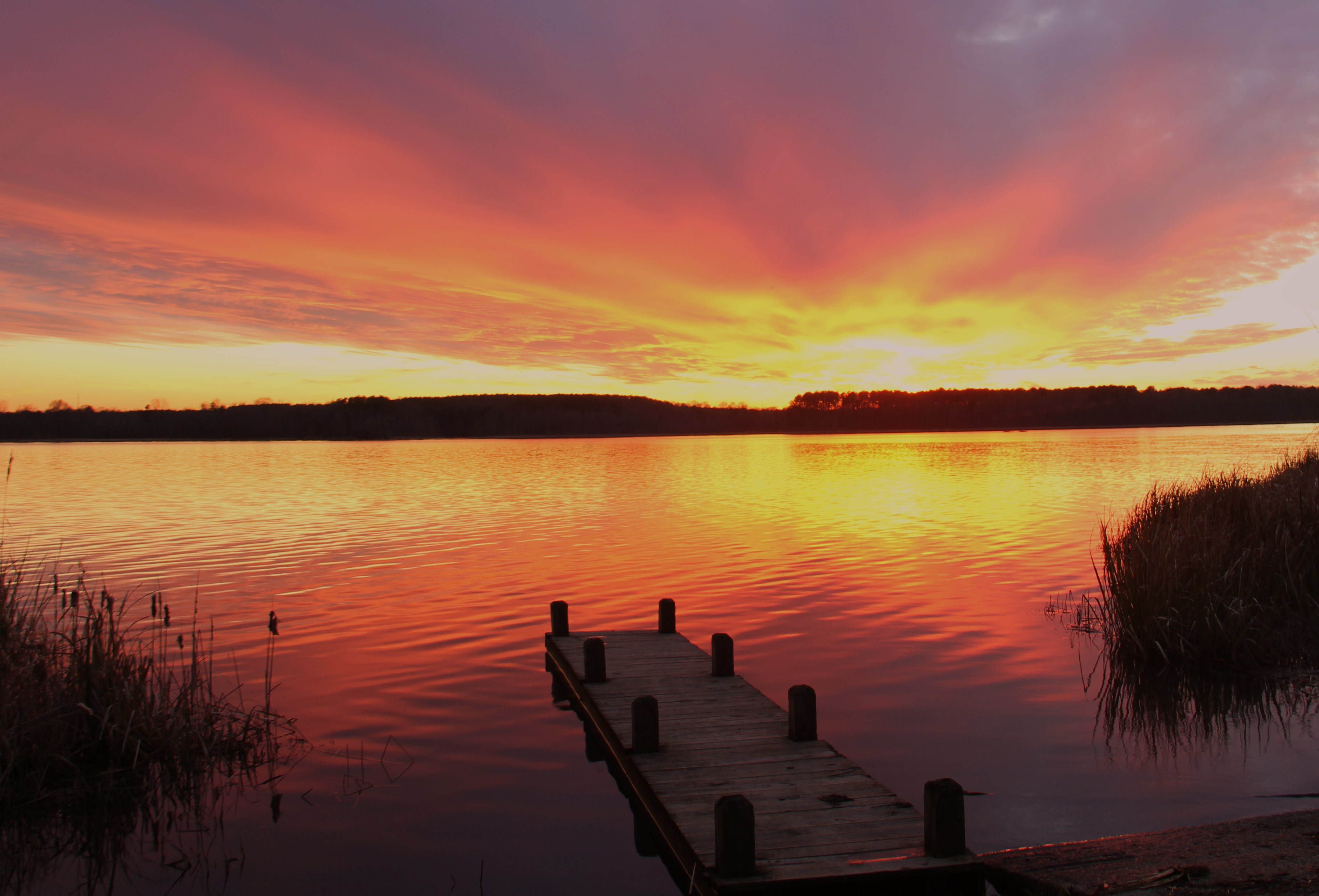
gaston sunset

jetski jumps
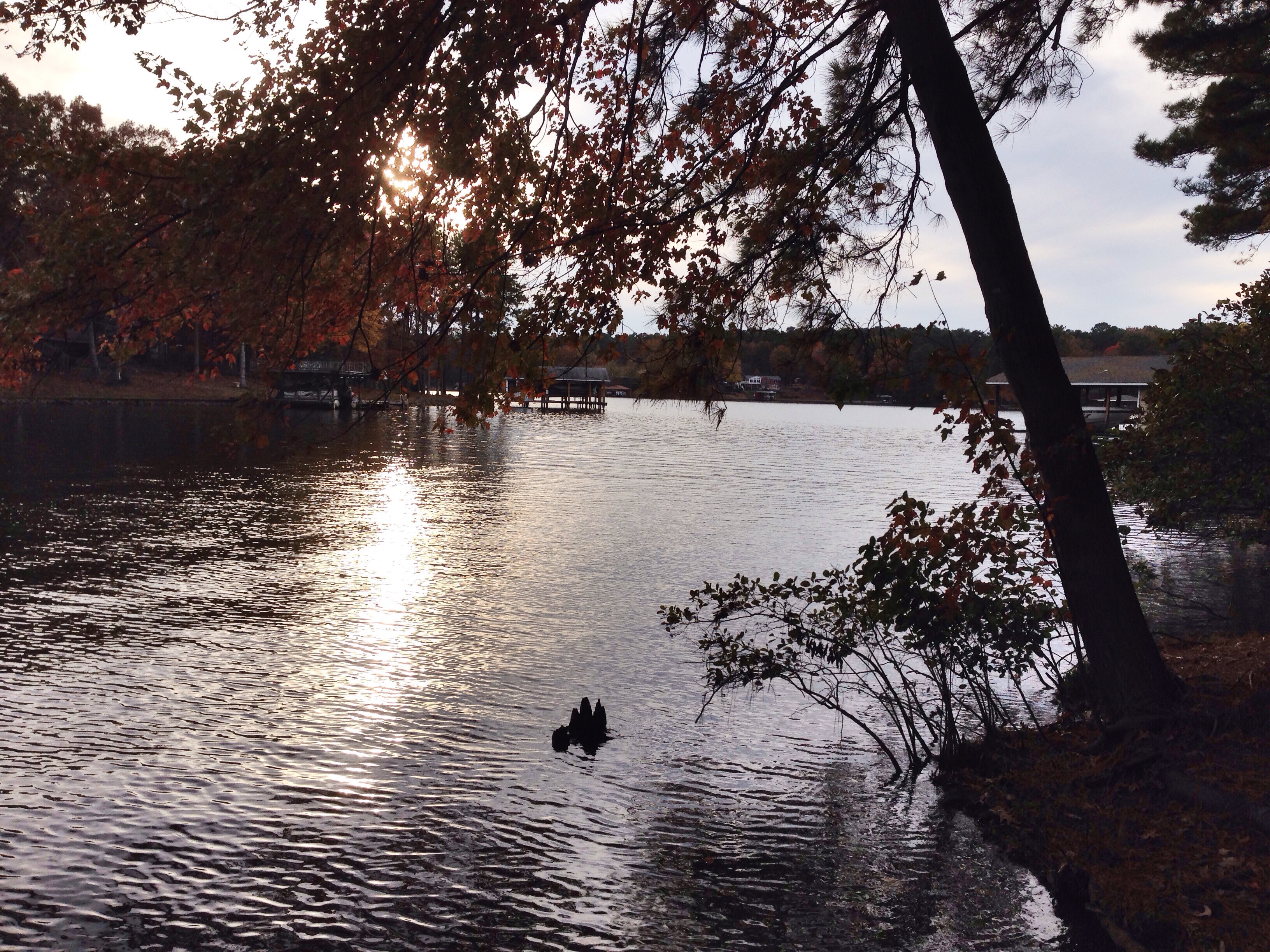
Lake Gaston
The cove
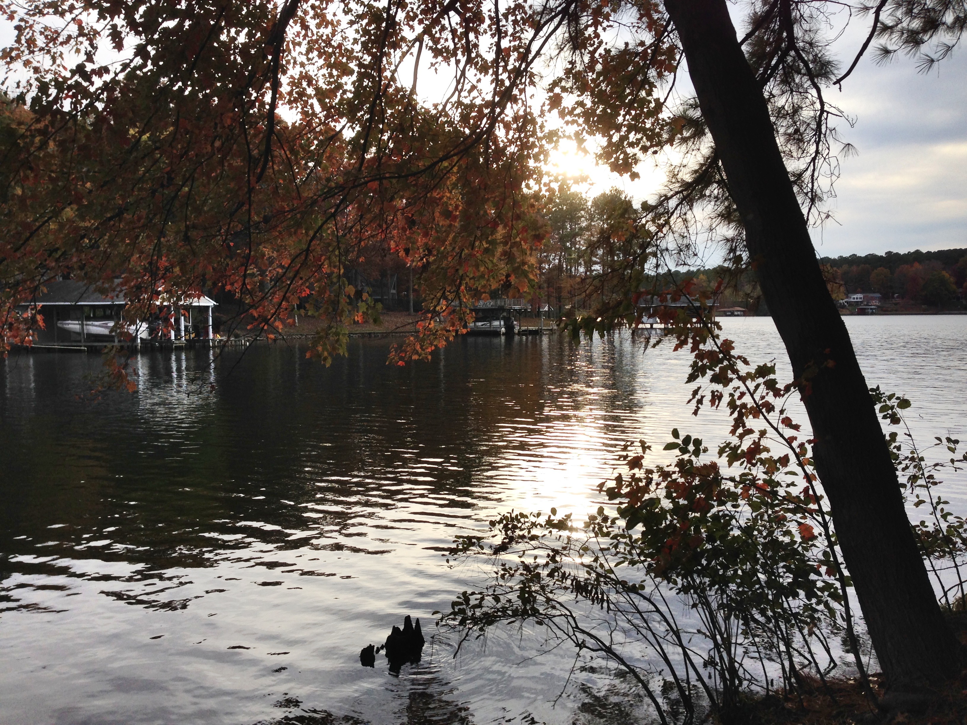
Lake Gaston 2

photo.JPG
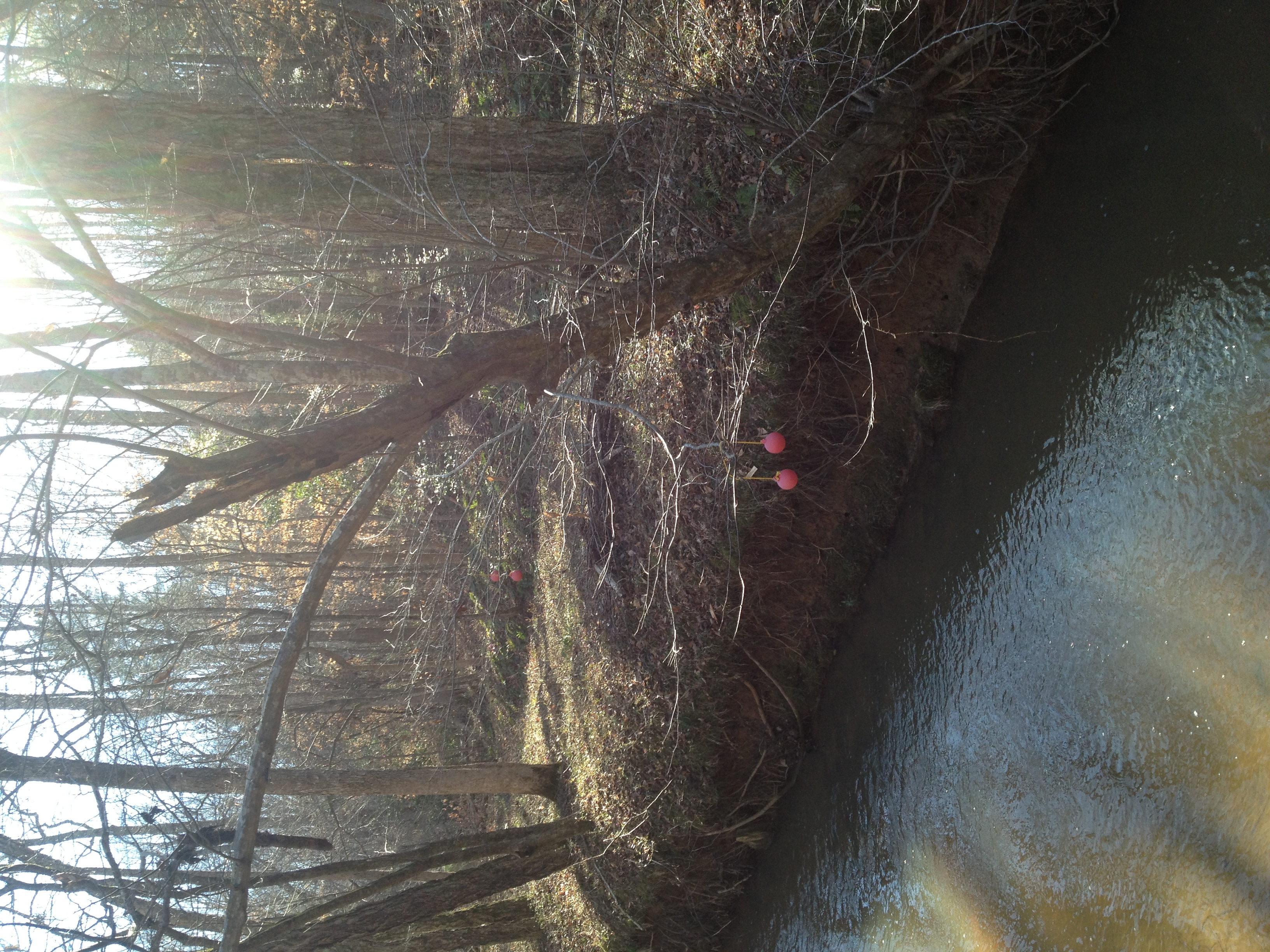
Lake Gaston- pea hill creek

Lake Gaston July 5th
Lake Gaston July 5th
Brunswick & Mecklenburg Exploration
Lake Gaston, Virginia
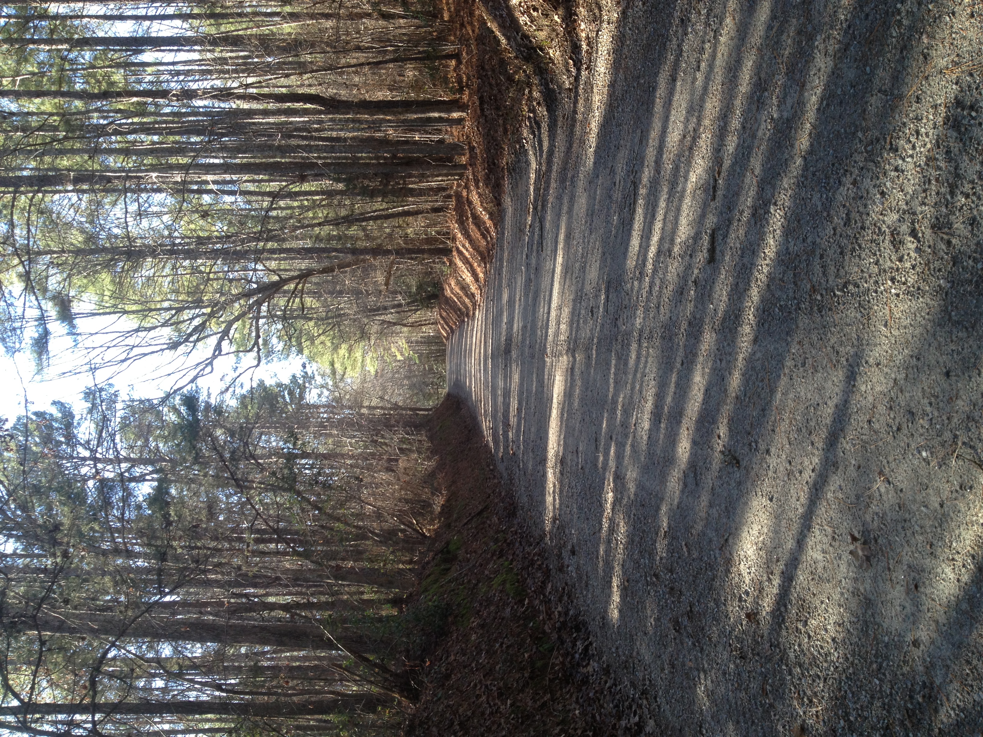
gravel hill

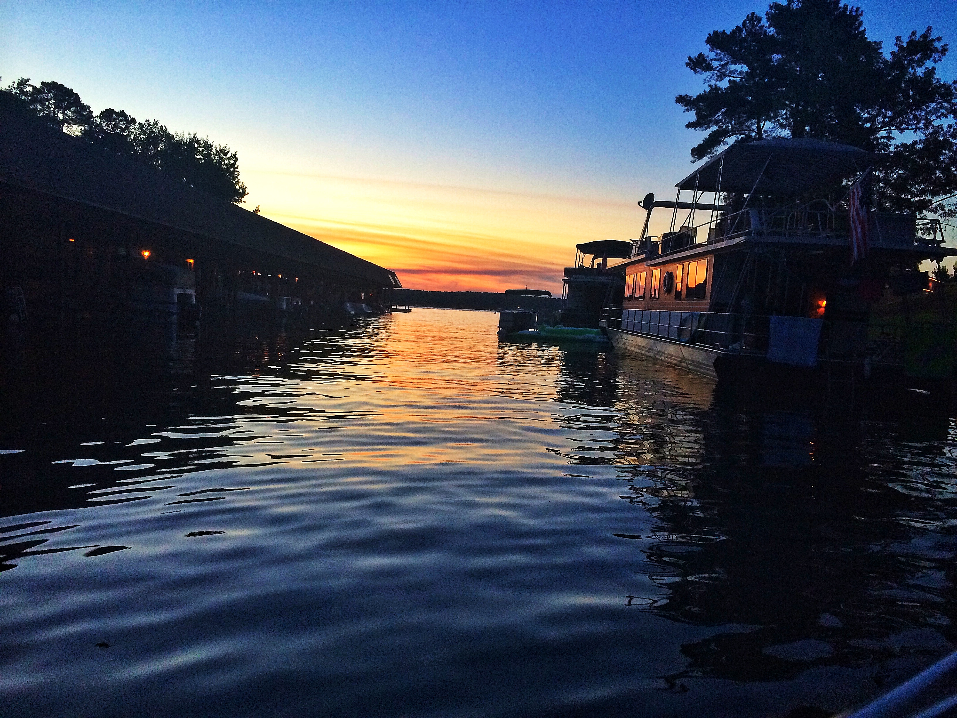
Lake Gaston dusk

2/365-Sunset at Lake Gaston
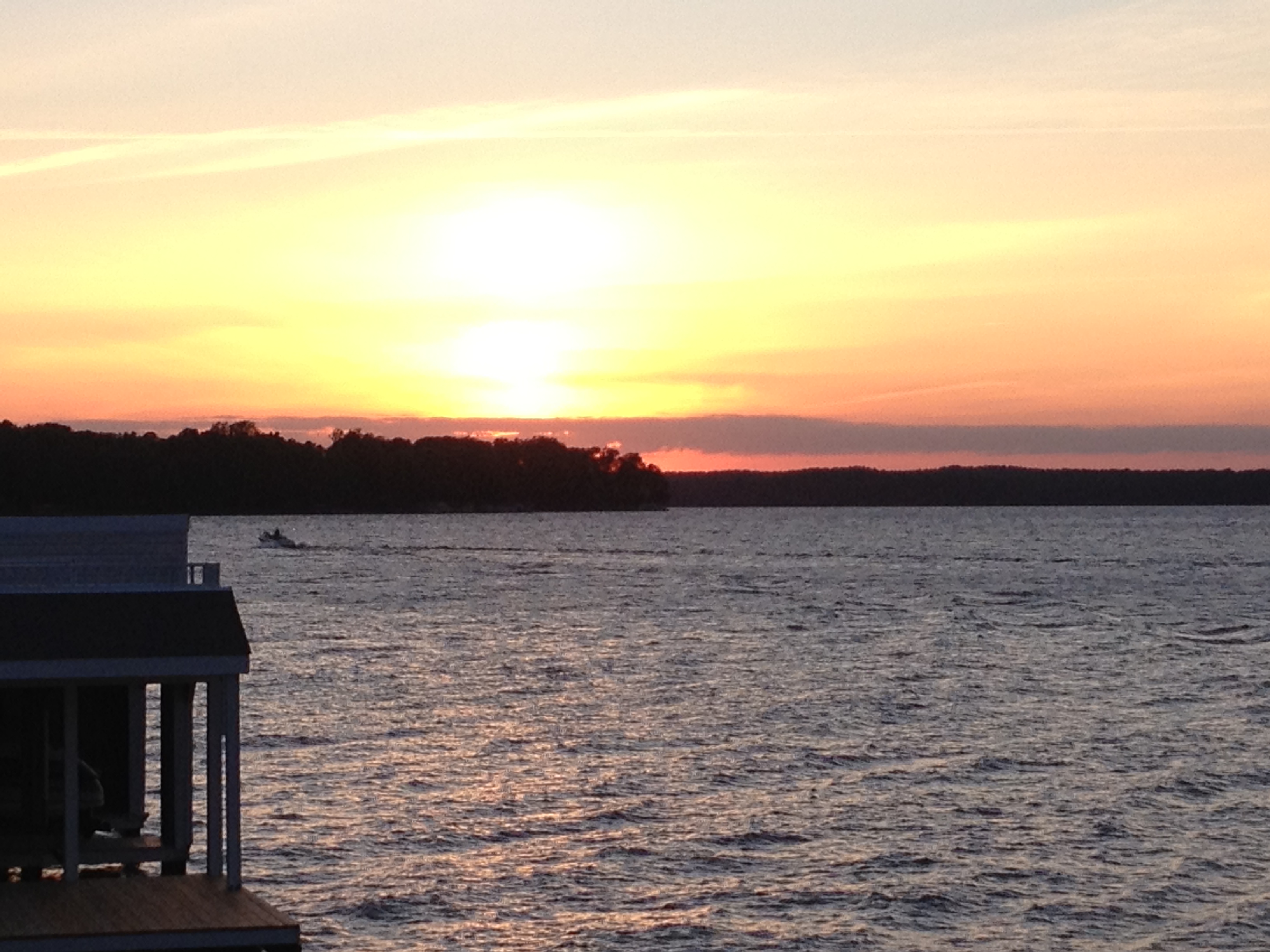
sunset from the deck

Lake Gaston
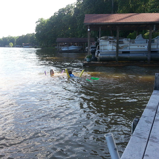
Logan and Jen in the water
Topographic Map of Gasburg, VA, USA
Find elevation by address:

Places in Gasburg, VA, USA:
Places near Gasburg, VA, USA:
Ankum Rd, Gasburg, VA, USA
Meherrin
Joyceville
Powellton
Beech Rd, Lawrenceville, VA, USA
Brodnax
Lawrenceville
Brunswick County
13173 Western Mill Rd
State Rte, La Crosse, VA, USA
3846 Pine Log Rd
Bracey
Pineview Road
Poor House Rd, Dolphin, VA, USA
Freeman
16 Hicks Dr
544 Hicks Dr
South Hill
S Mecklenburg Ave, South Hill, VA, USA
2, VA, USA
Recent Searches:
- Elevation of Elwyn Dr, Roanoke Rapids, NC, USA
- Elevation of Congressional Dr, Stevensville, MD, USA
- Elevation of Bellview Rd, McLean, VA, USA
- Elevation of Stage Island Rd, Chatham, MA, USA
- Elevation of Shibuya Scramble Crossing, 21 Udagawacho, Shibuya City, Tokyo -, Japan
- Elevation of Jadagoniai, Kaunas District Municipality, Lithuania
- Elevation of Pagonija rock, Kranto 7-oji g. 8"N, Kaunas, Lithuania
- Elevation of Co Rd 87, Jamestown, CO, USA
- Elevation of Tenjo, Cundinamarca, Colombia
- Elevation of Côte-des-Neiges, Montreal, QC H4A 3J6, Canada