Elevation of Laverne Lane, Lebanon, ME, USA
Location: United States > Maine > York County > Lebanon >
Longitude: -70.915786
Latitude: 43.4166365
Elevation: 186m / 610feet
Barometric Pressure: 99KPa
Elevation Map:
Satellite Map:
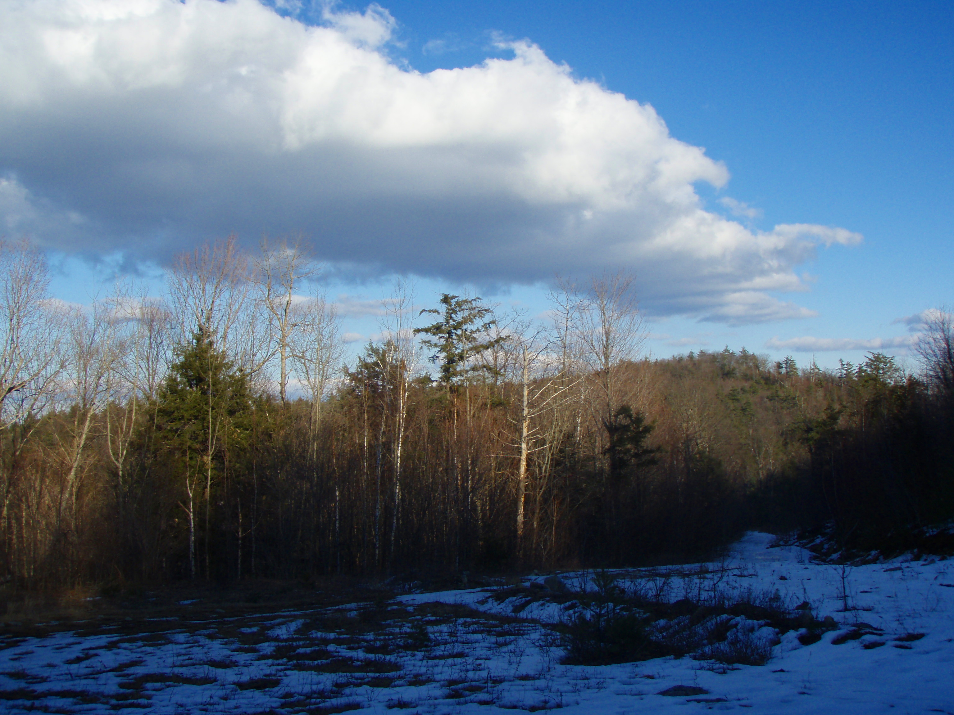
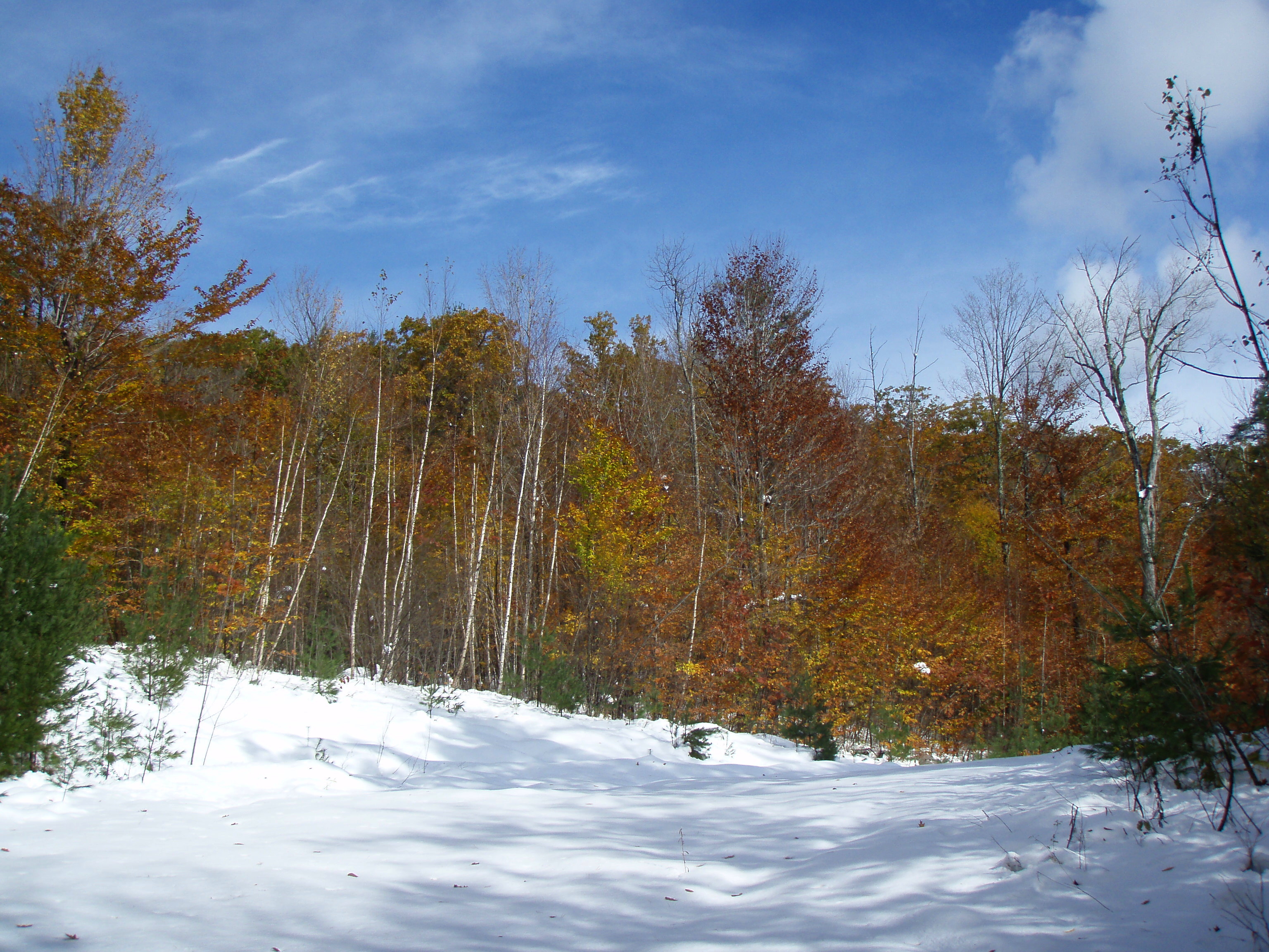
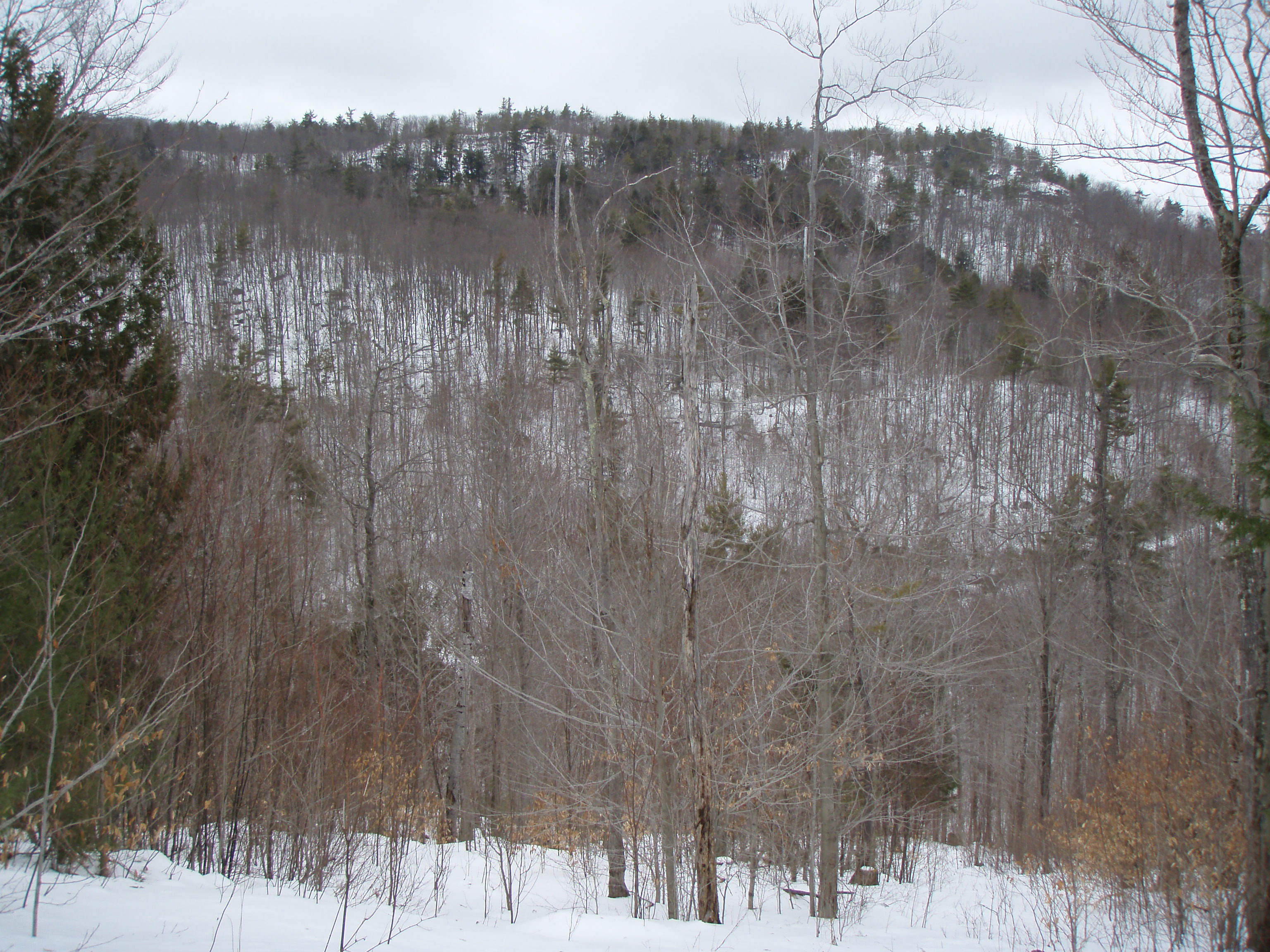
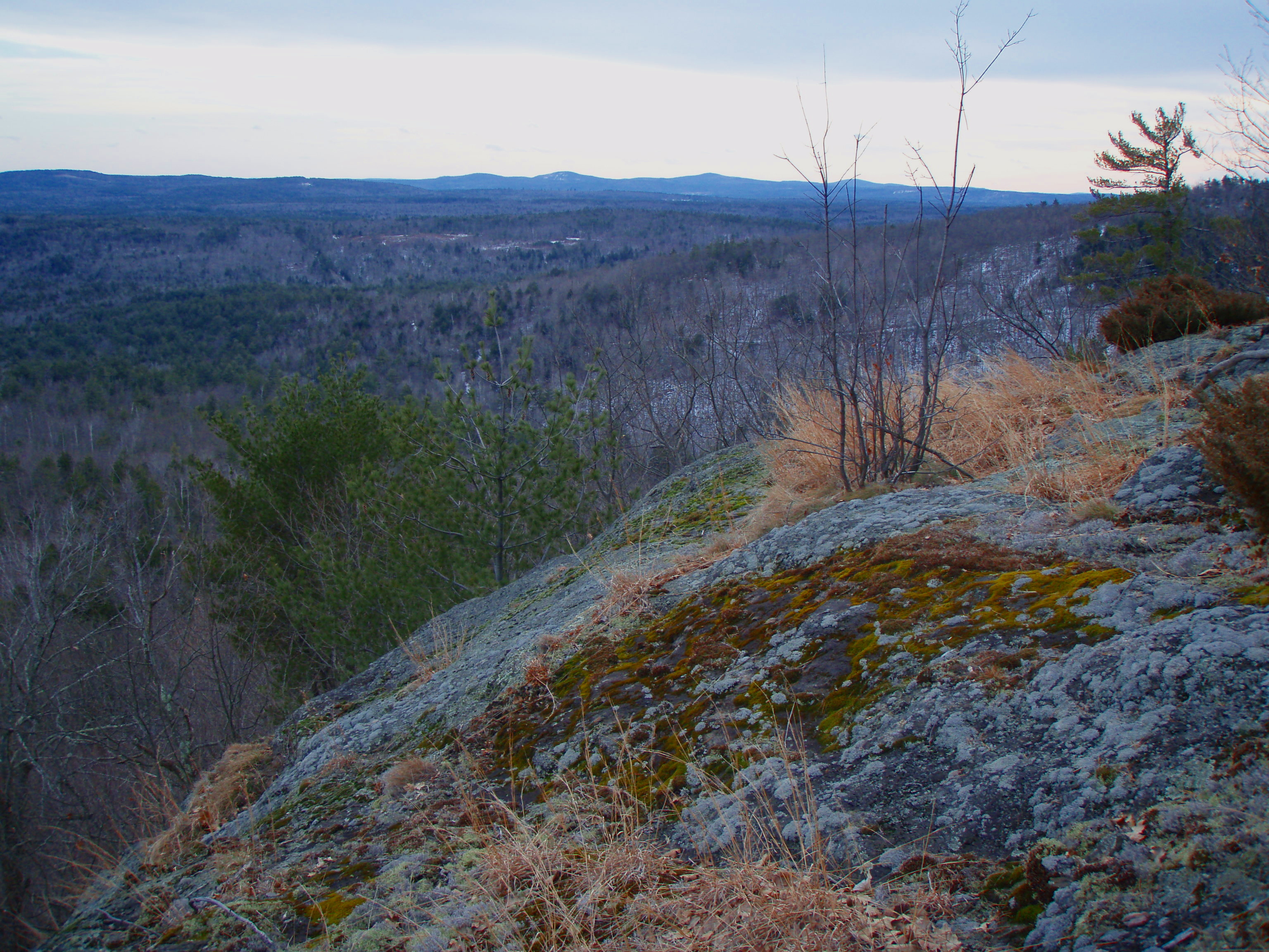
Related Photos:
View from upper landing on North Trail
North View trail
View to Beauty & Boulder ledges
Beauty Ledge view
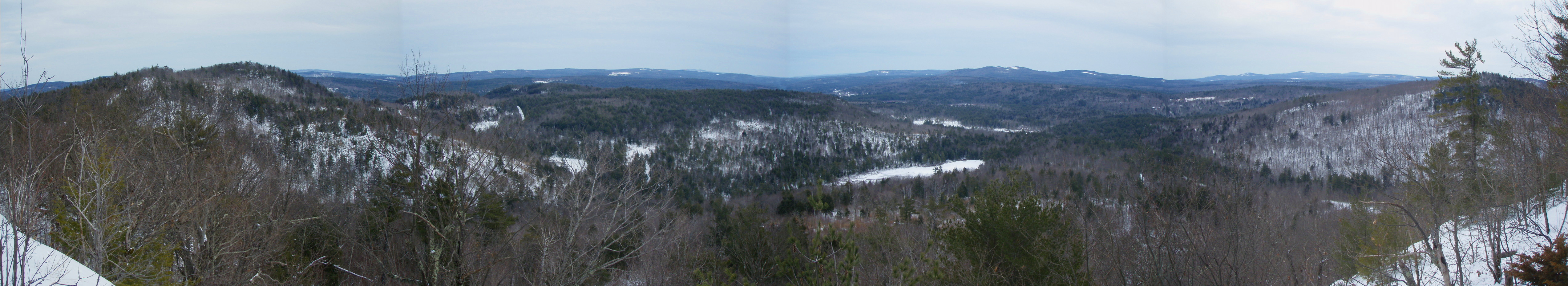
Beauty Ledge View 3-4-12 (pano)
View from Phoebe's Nable
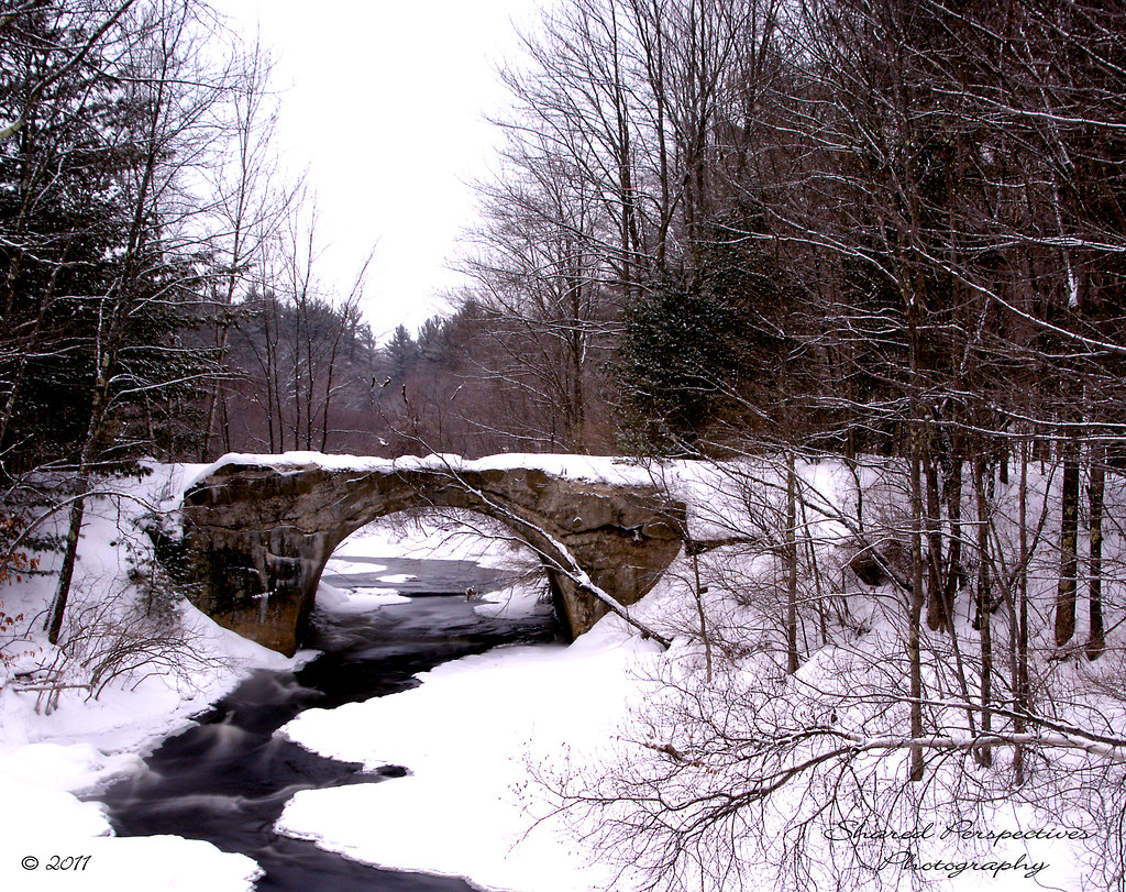
Rt 202 stone bridge
View from Phoebe's Nable
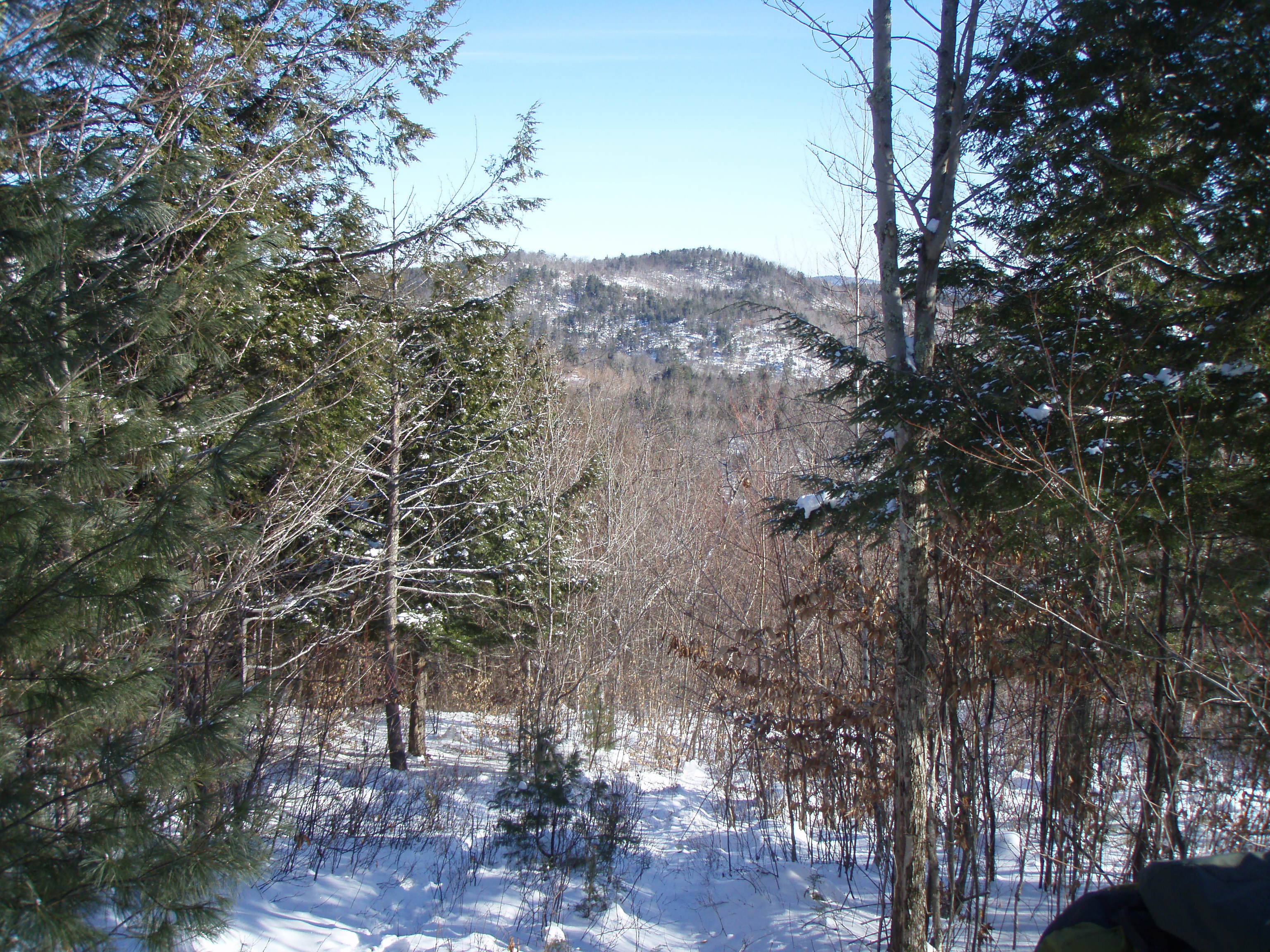
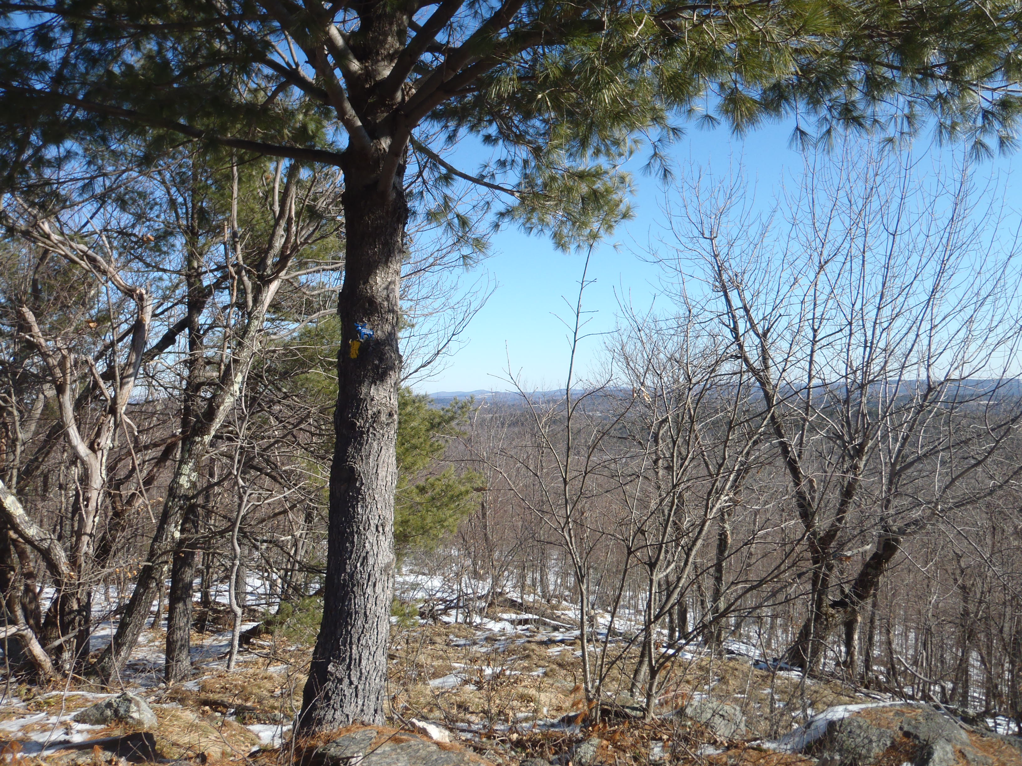
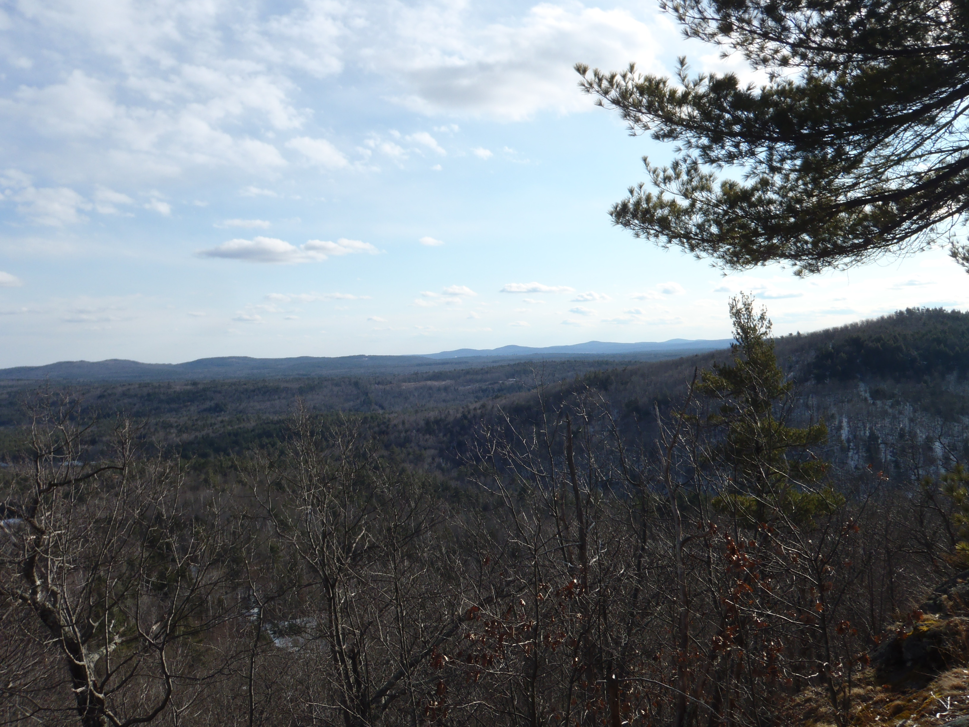
View up to Moose Mountains

Beauty Ledge 180* View (pano)
Another view.

Magical Mystery Tour

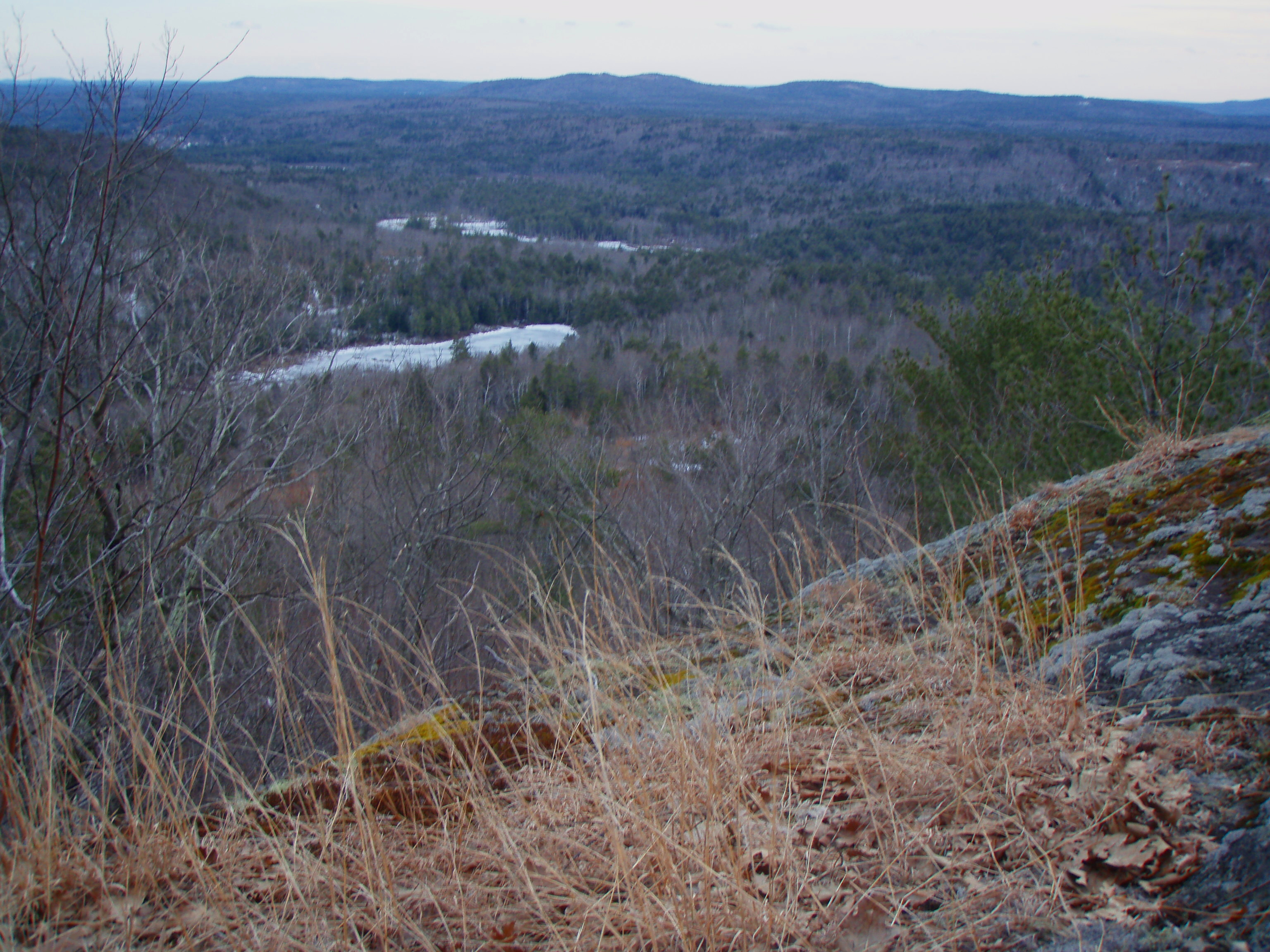
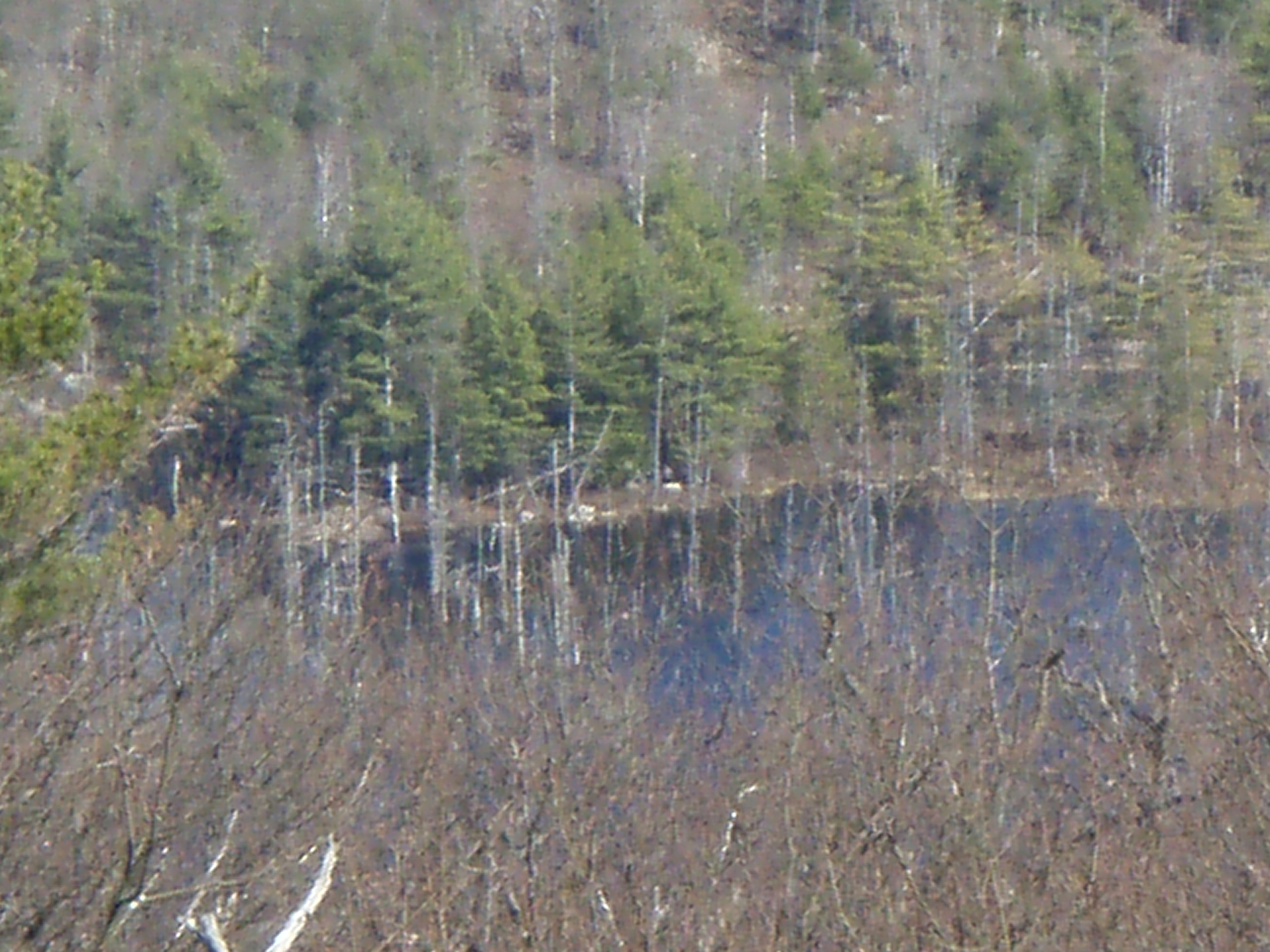
View across Bowser Pond from Beauty Ledge
Beauty Ledge view

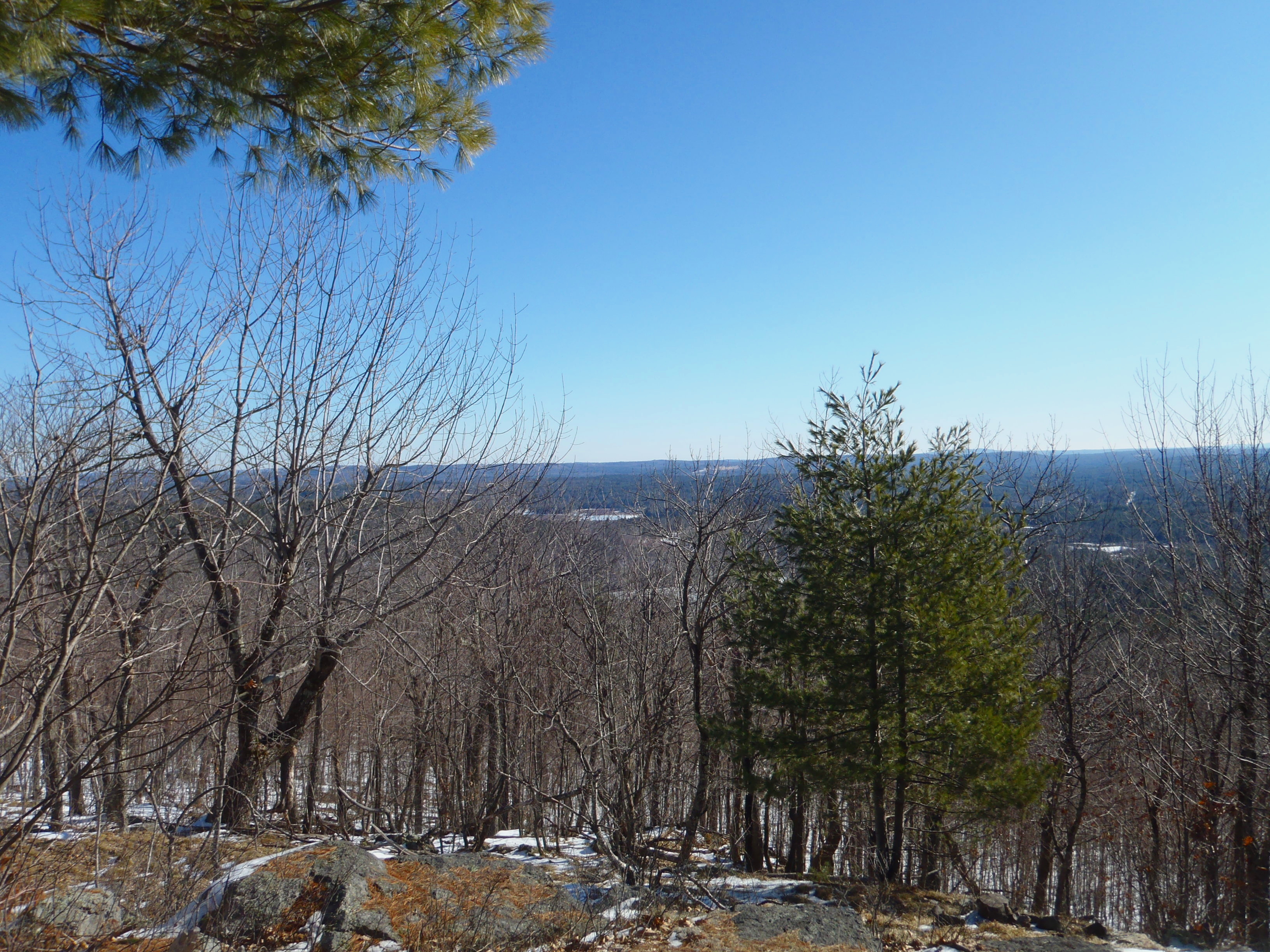
View through the trees to Moose Mountains
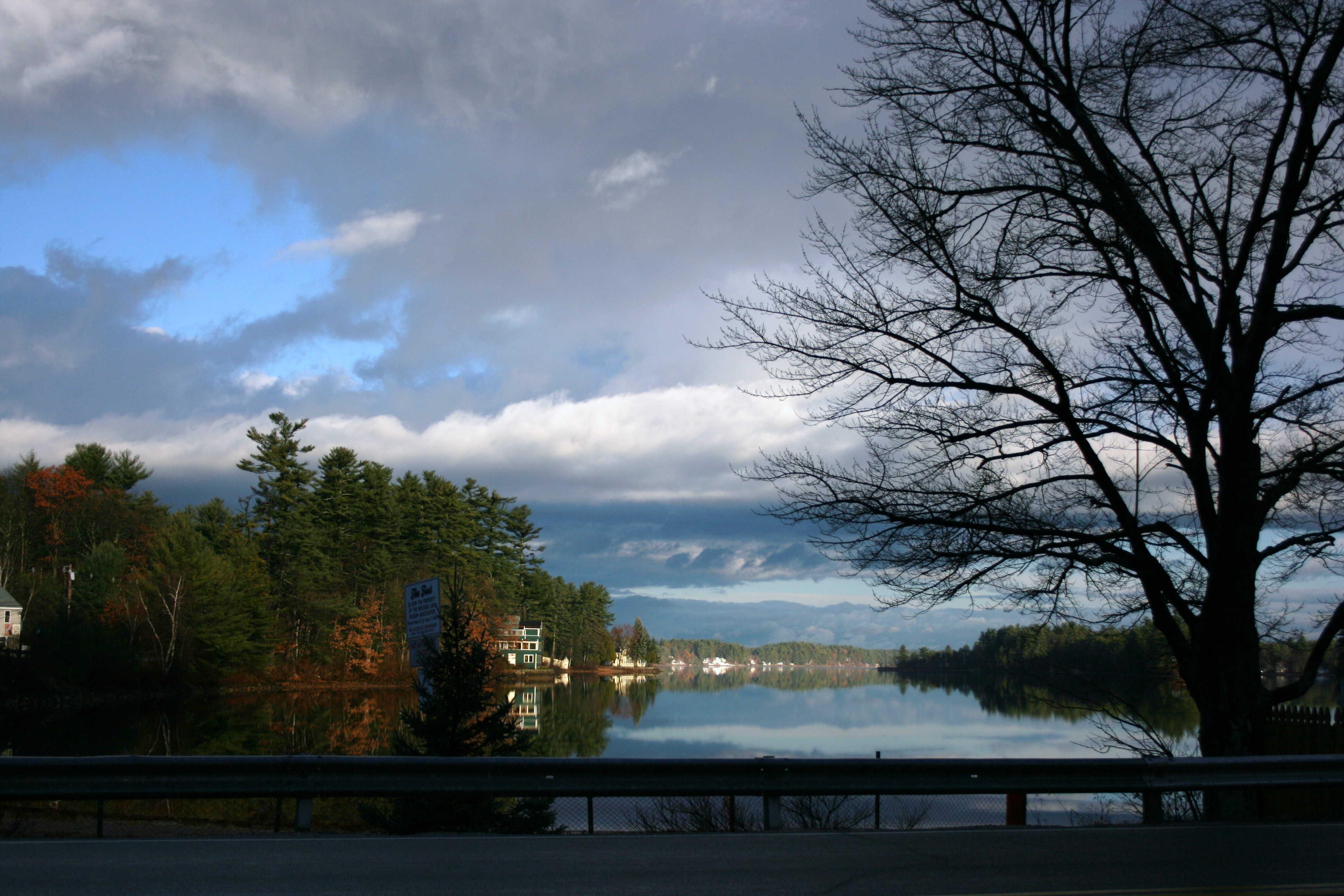
view across mousam

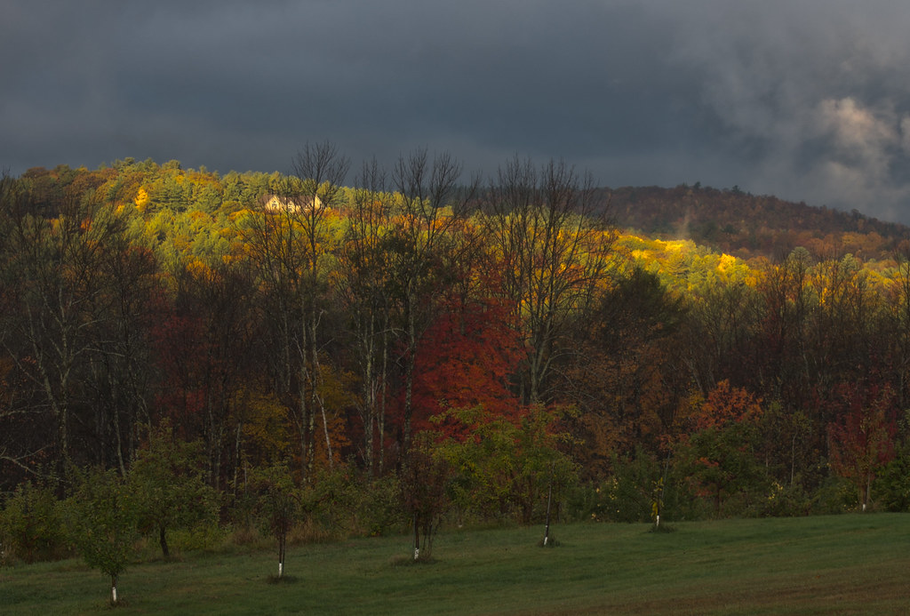
Snowy Morning at Goodall Mansion
Heron Rookery as viewed from Phoebes Nable
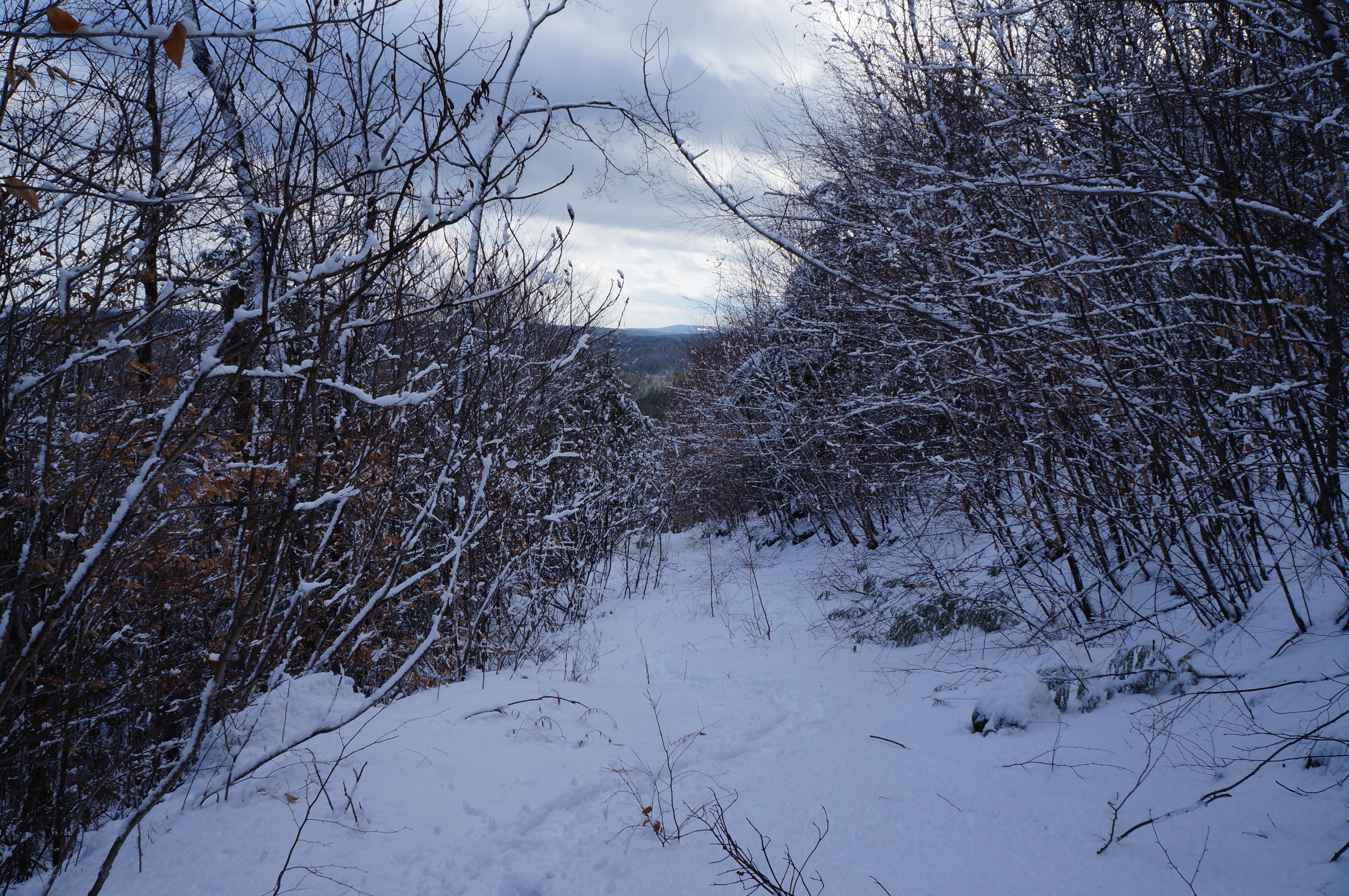
Partial view down the steep hill of Phoebes Nable Mt. trail

♥ ♥ ♥
View South from Beauty Ledge
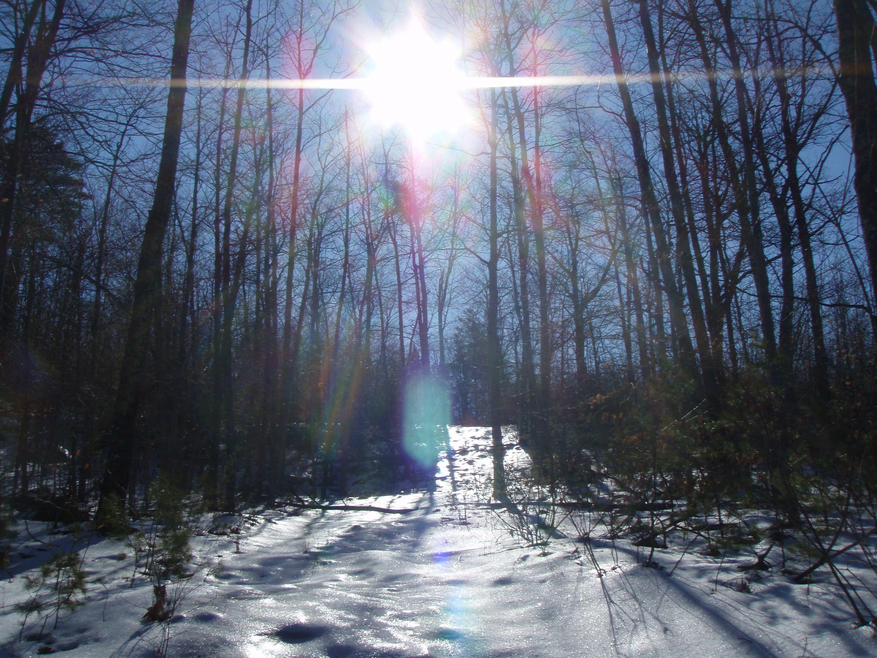
Sun on the hill
An shiny Burrows Farm Trail
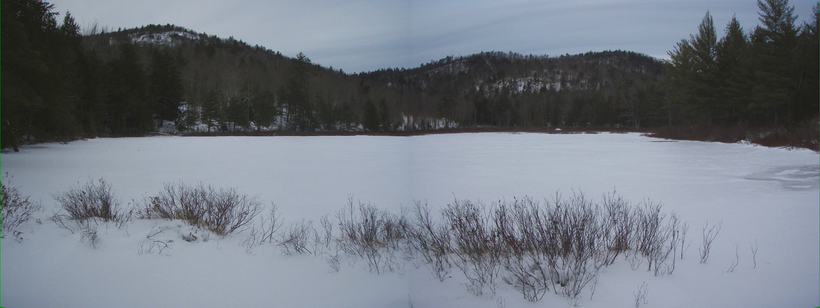
Bowser Pond 1.16.12 (pano)

An Icy Burrows Brook

Burrows Brook

Burrows Field

An Icy Burrows Brook
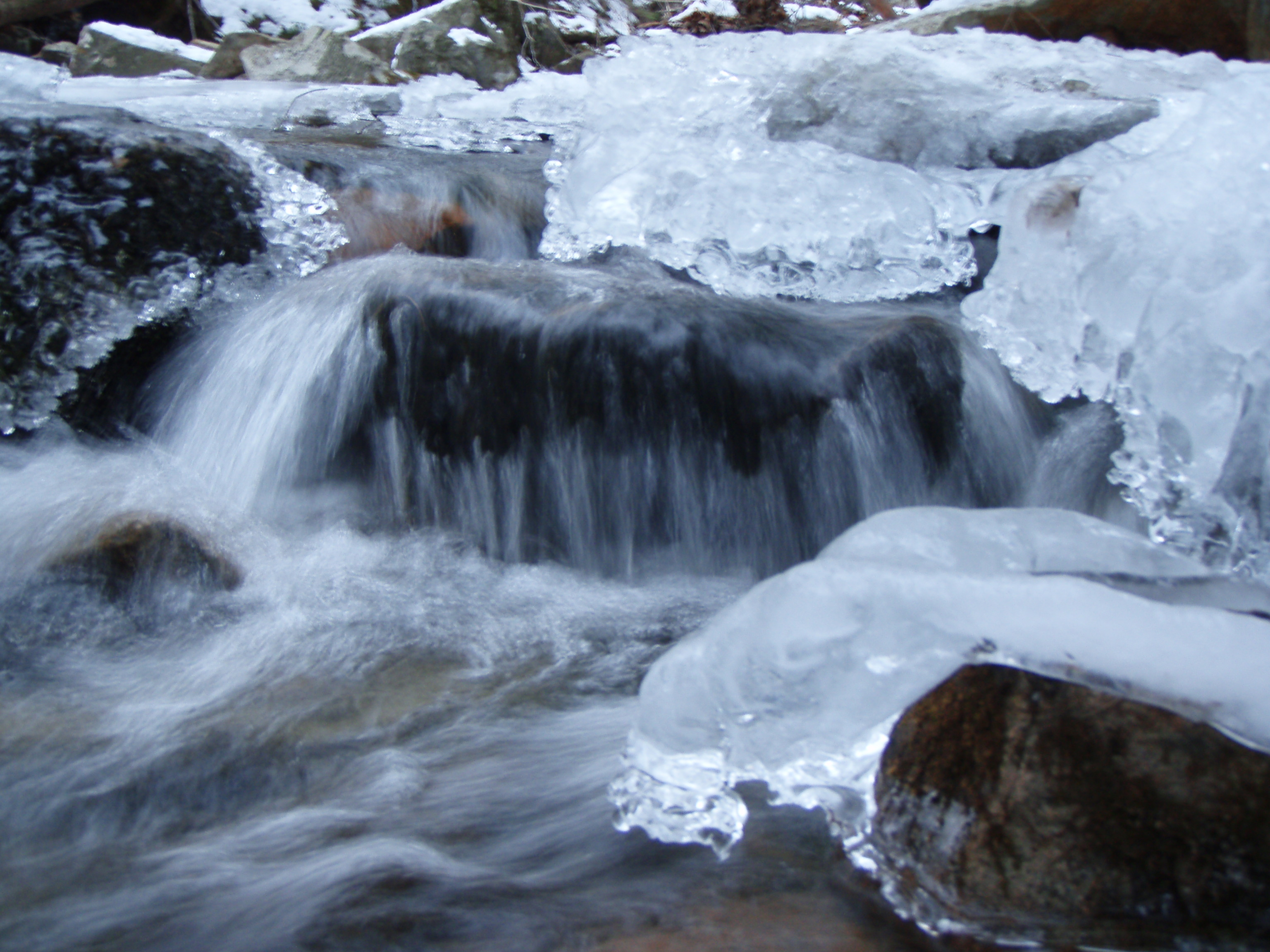
An Icy Burrows Brook
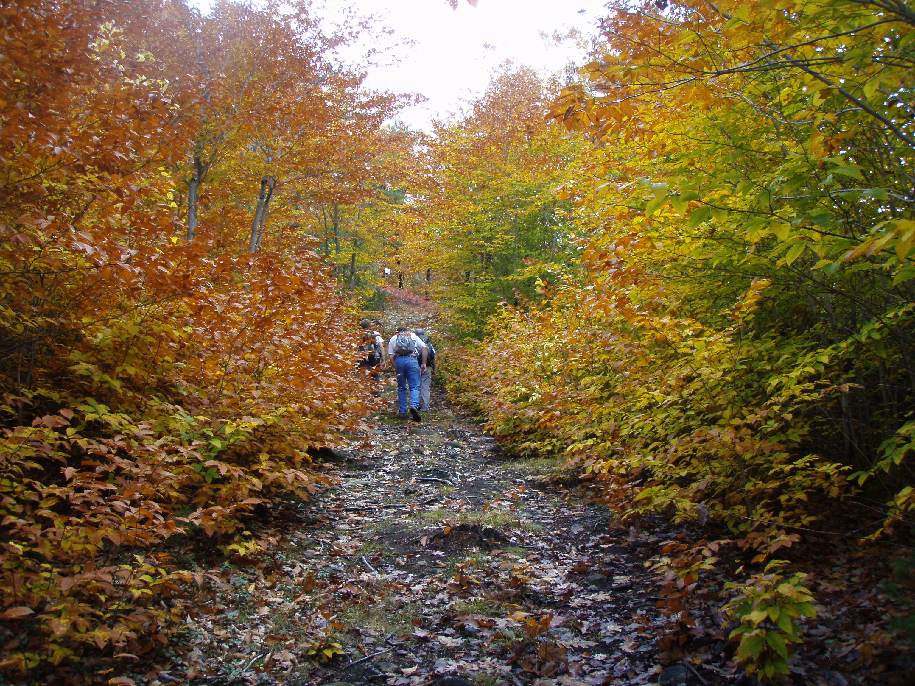
Foliage along Burrows Farm trail
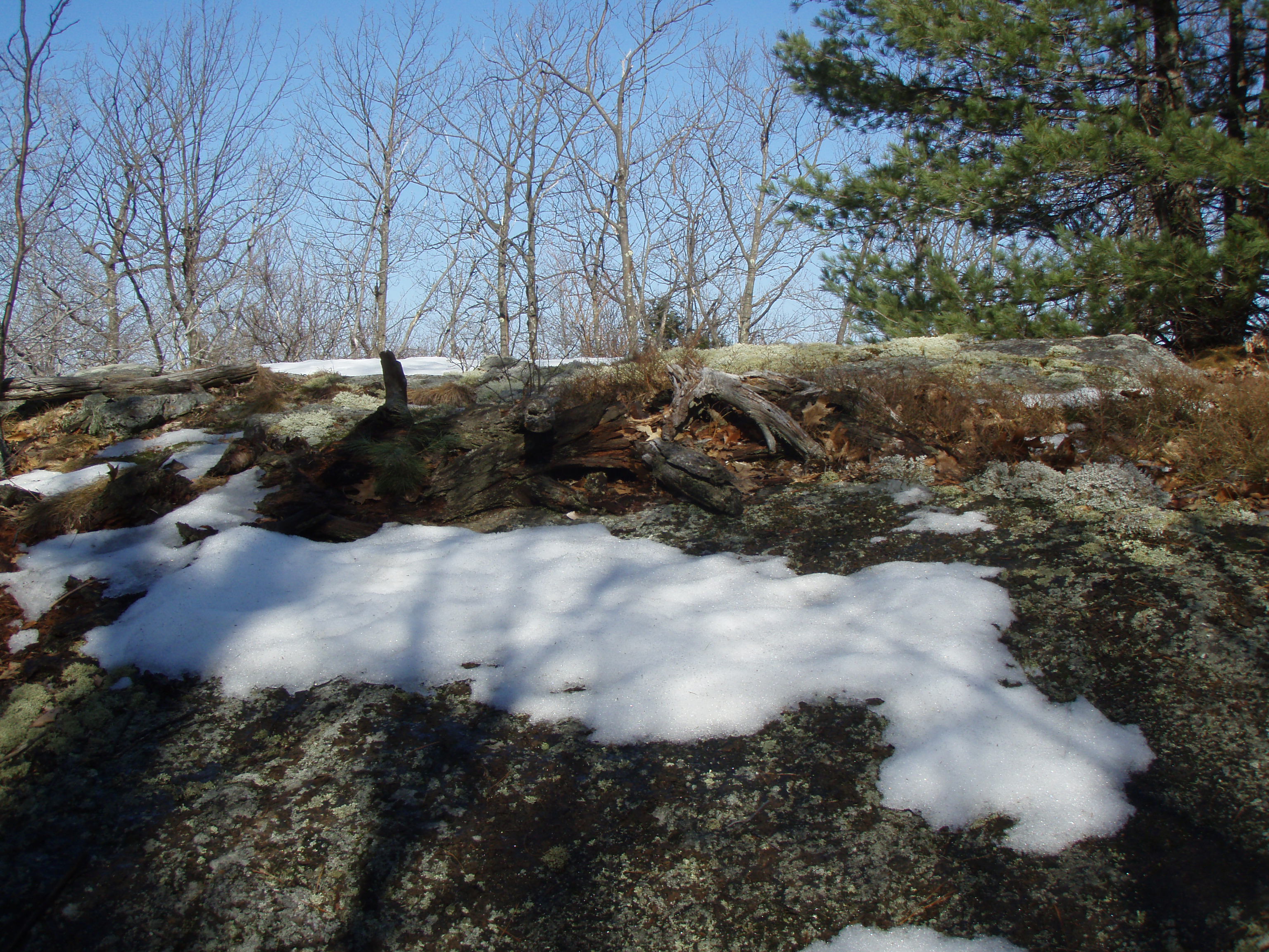
Beauty Knob
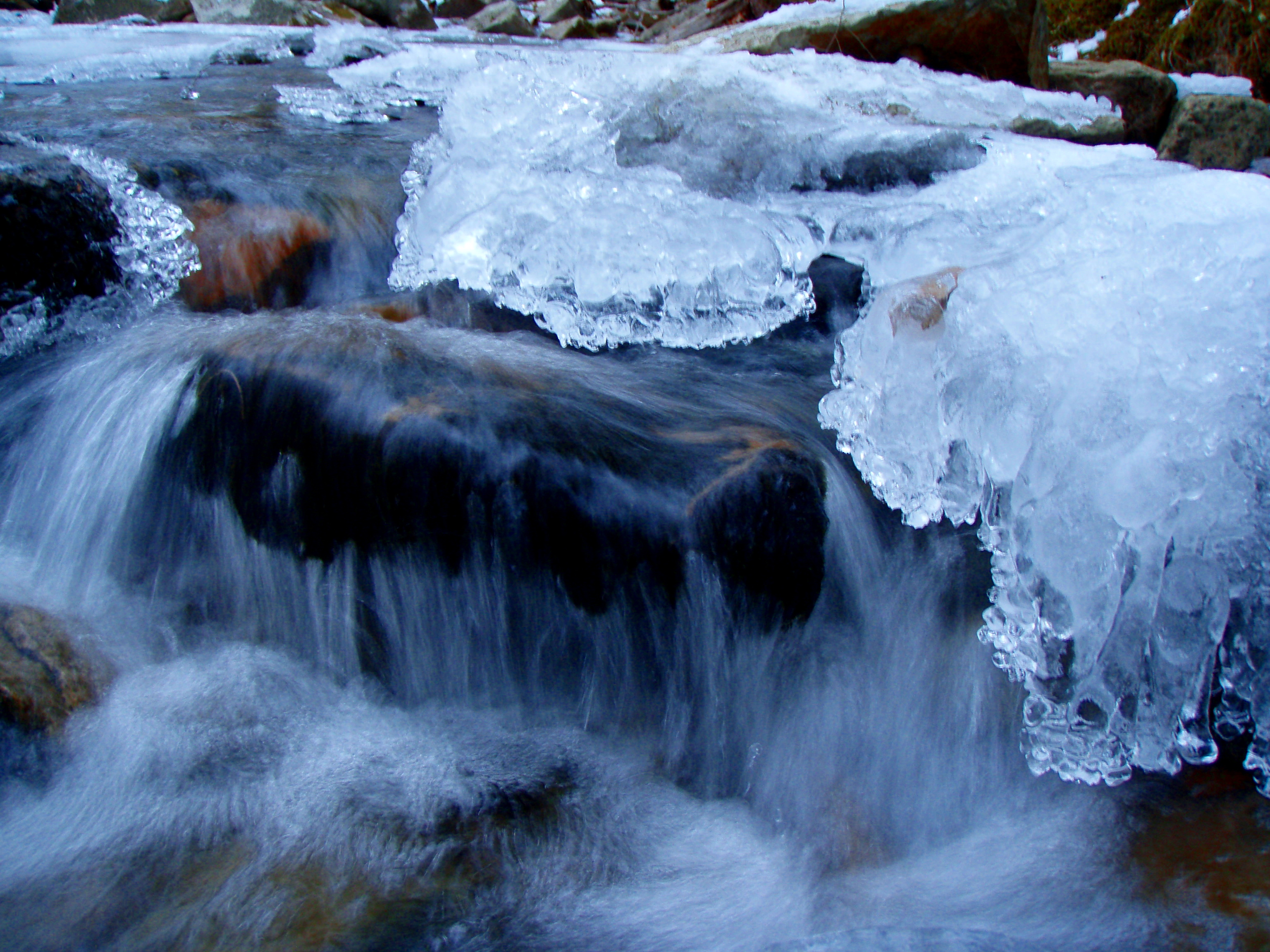
An Icy Burrows Brook

Burrows brook
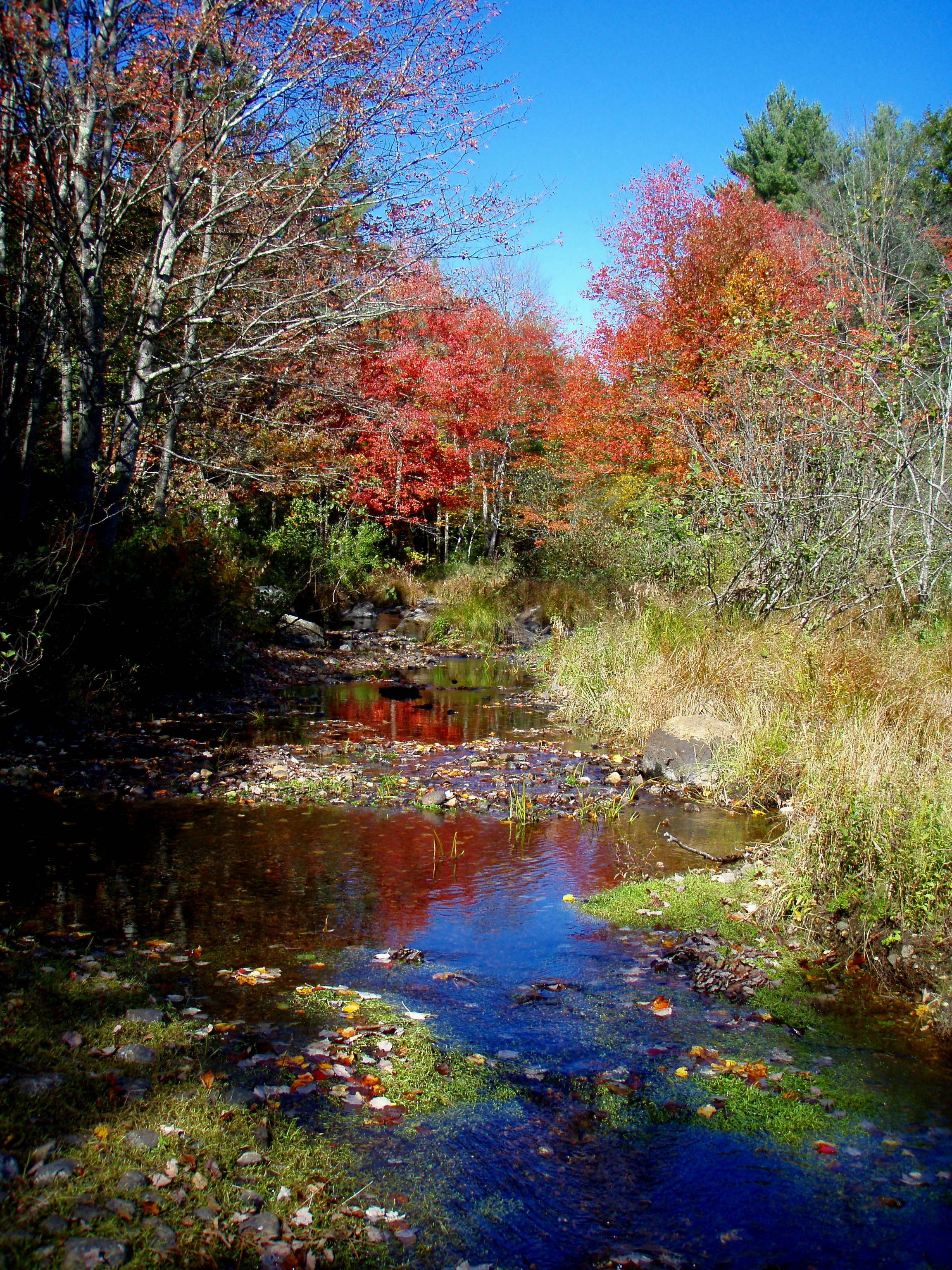
Reflective Foliage

Beauty Knob
Topographic Map of Laverne Lane, Lebanon, ME, USA
Find elevation by address:

Places near Laverne Lane, Lebanon, ME, USA:
22 Laverne Lane
Merchants Row
Lebanon
6 Merchants Row
6 Merchants Row
6 Merchants Row
151 Sam Wentworth Rd
59 Mills Rd
Shapleigh Rd, Lebanon, ME, USA
310 Orrills Hill Rd
318 Orrills Hill Rd
43 Prospect Hill Rd
12 Hanscom Farm Ln
Little River Rd, Lebanon, ME, USA
401 Little River Rd
29 Dawson St, Milton, NH, USA
33 Riverlawn Ave
221 Salmon Falls Rd
Richards Way
Richards Way
Recent Searches:
- Elevation of Lampiasi St, Sarasota, FL, USA
- Elevation of Elwyn Dr, Roanoke Rapids, NC, USA
- Elevation of Congressional Dr, Stevensville, MD, USA
- Elevation of Bellview Rd, McLean, VA, USA
- Elevation of Stage Island Rd, Chatham, MA, USA
- Elevation of Shibuya Scramble Crossing, 21 Udagawacho, Shibuya City, Tokyo -, Japan
- Elevation of Jadagoniai, Kaunas District Municipality, Lithuania
- Elevation of Pagonija rock, Kranto 7-oji g. 8"N, Kaunas, Lithuania
- Elevation of Co Rd 87, Jamestown, CO, USA
- Elevation of Tenjo, Cundinamarca, Colombia