Elevation of 43 Prospect Hill Rd, Lebanon, ME, USA
Location: United States > Maine > York County > Lebanon >
Longitude: -70.974674
Latitude: 43.3996807
Elevation: 151m / 495feet
Barometric Pressure: 100KPa
Elevation Map:
Satellite Map:
Related Photos:

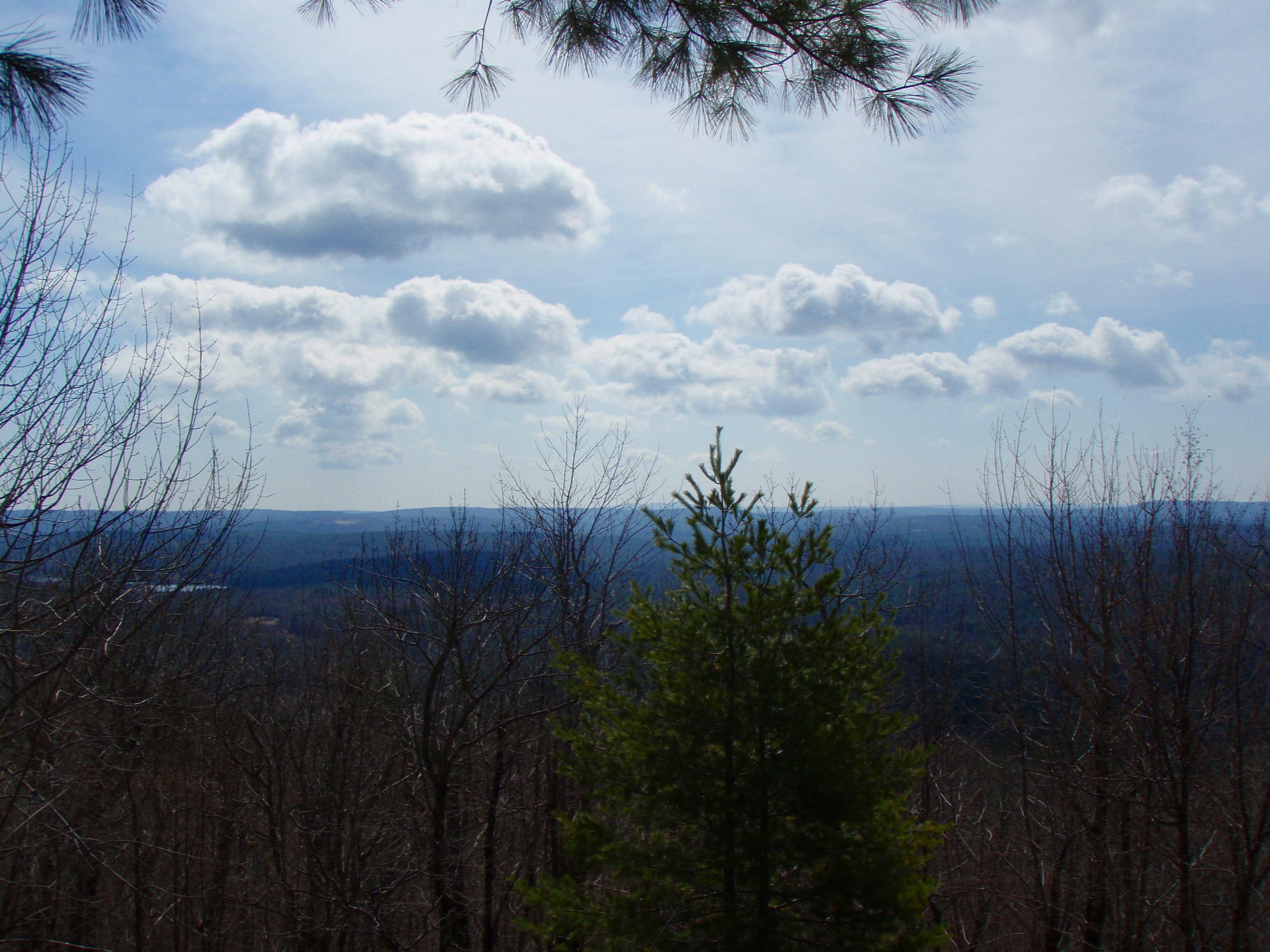
Into the Cloud
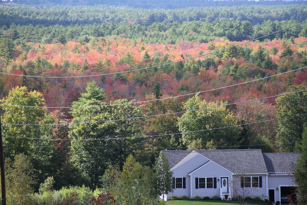
Pine View Orchard view
View from upper landing on North Trail

M45 imaged with 50mm Borg
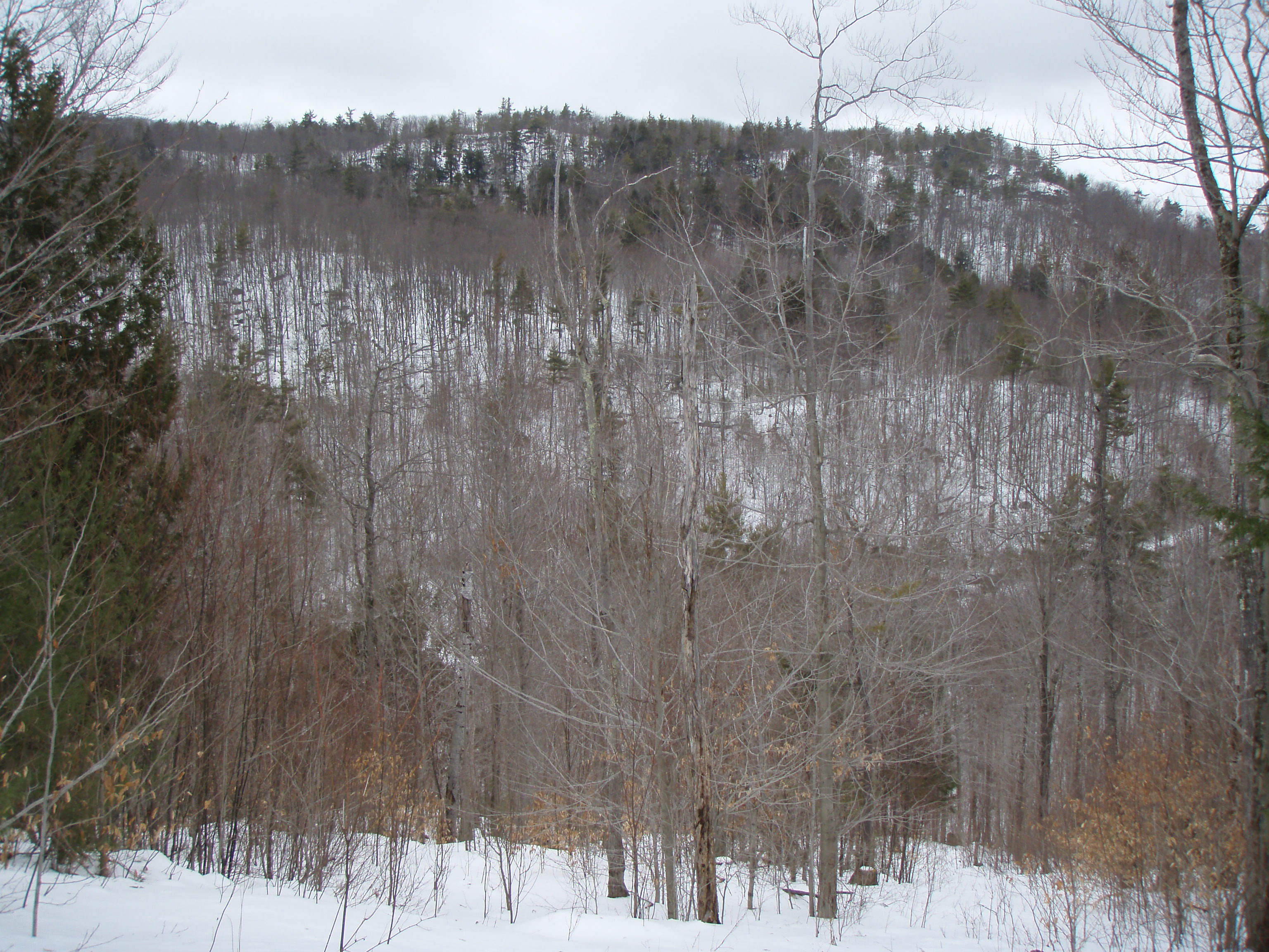
North View trail

View from Little Baldy Pan
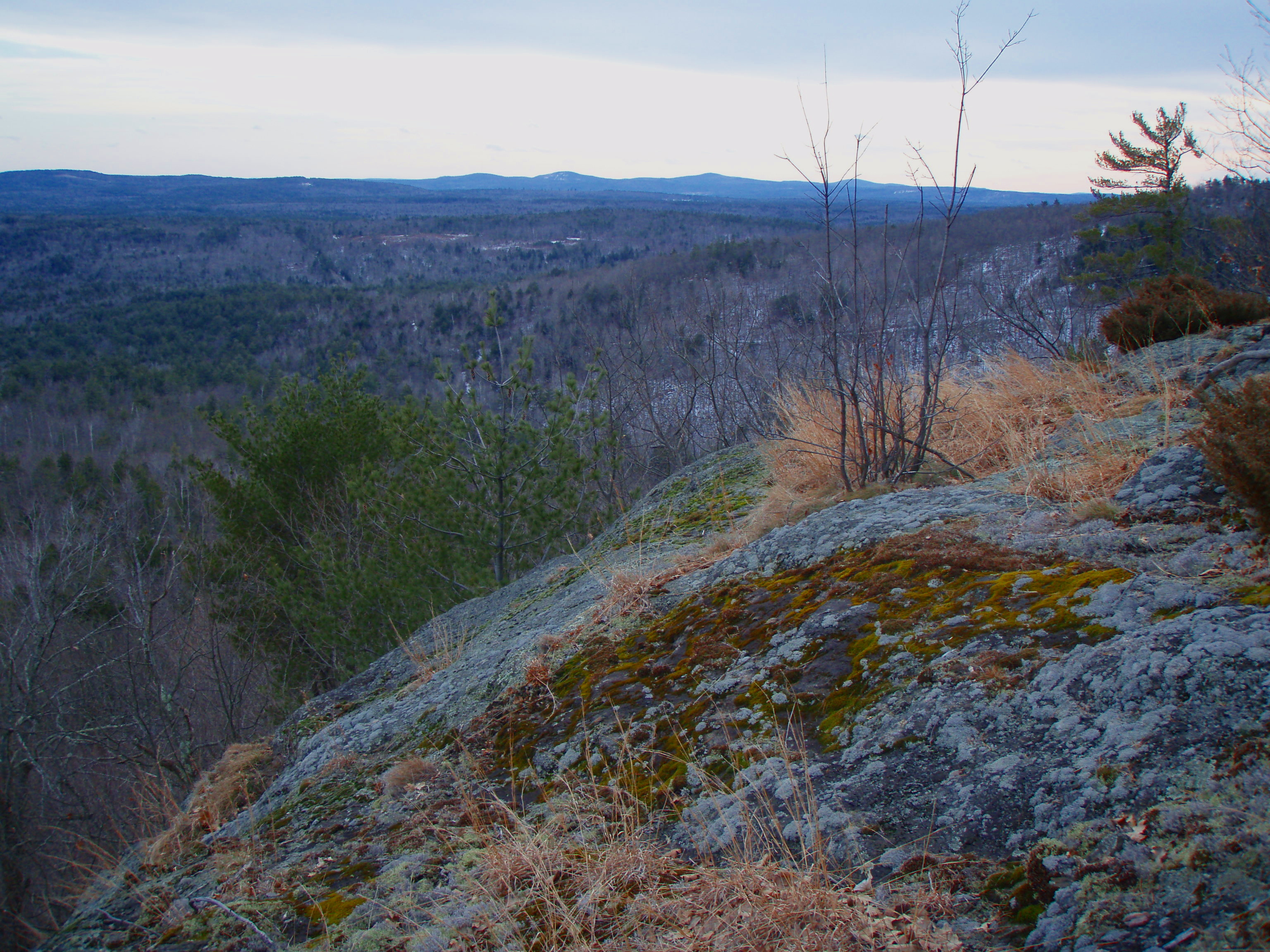
Beauty Ledge view
View to Beauty & Boulder ledges
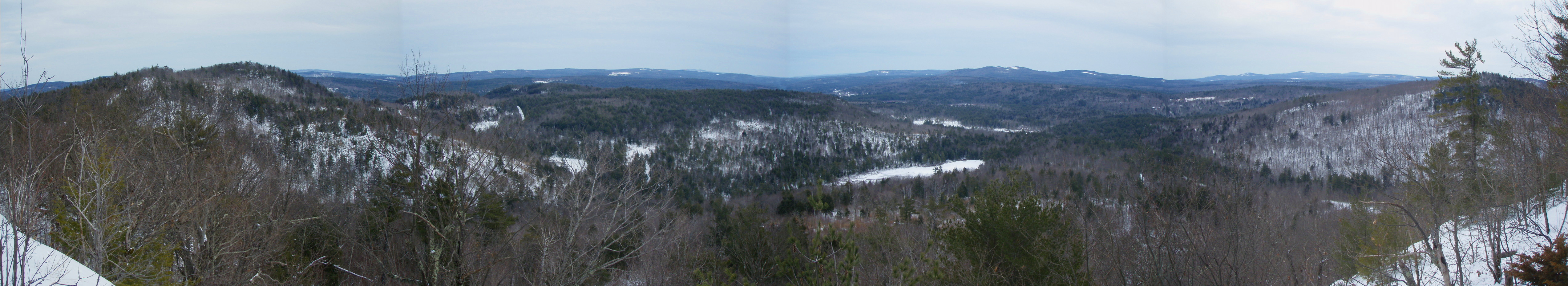
Beauty Ledge View 3-4-12 (pano)
View from Phoebe's Nable
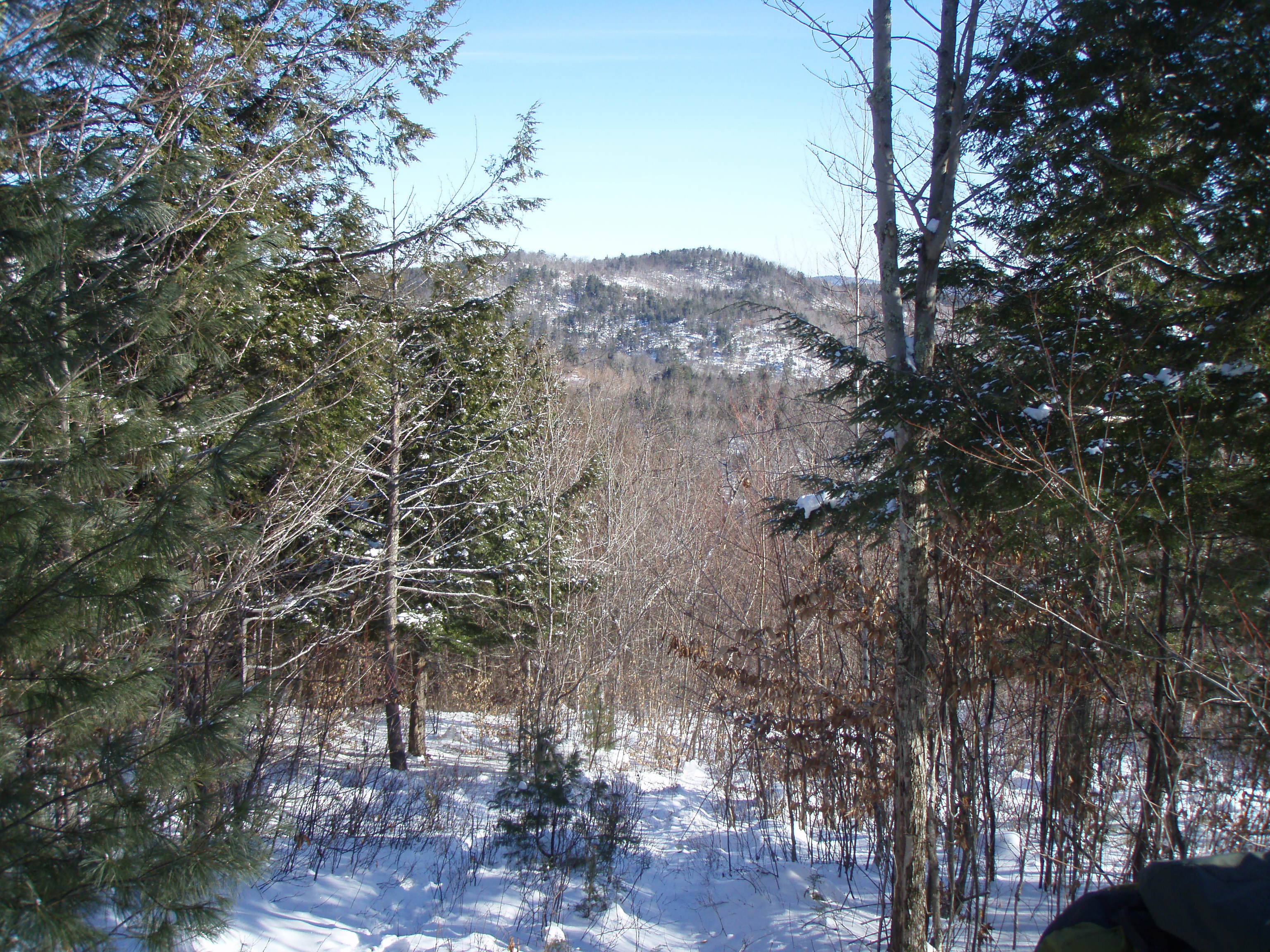
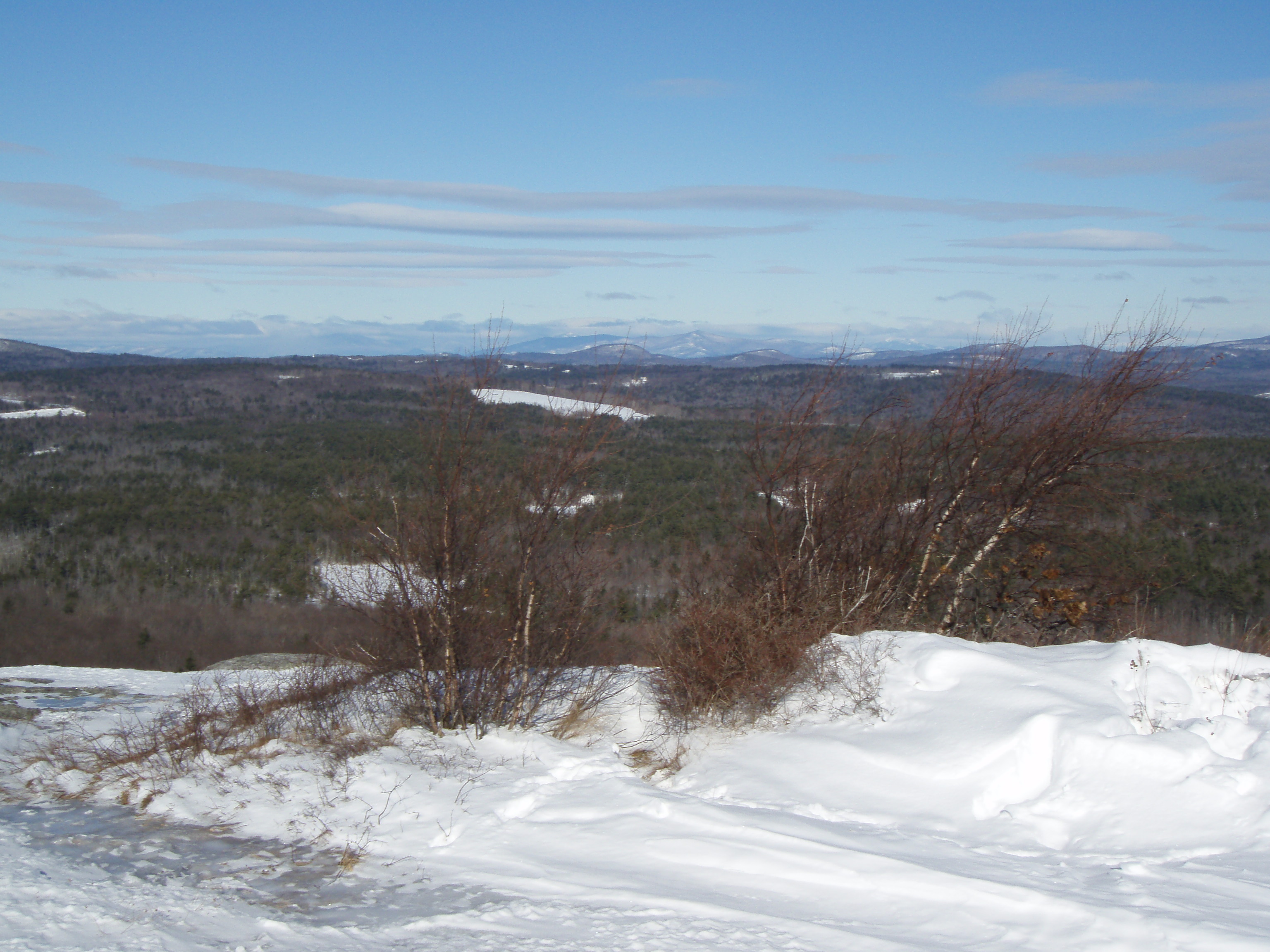
View up to Moose Mountains
View from Phoebes Nable Mt. summit
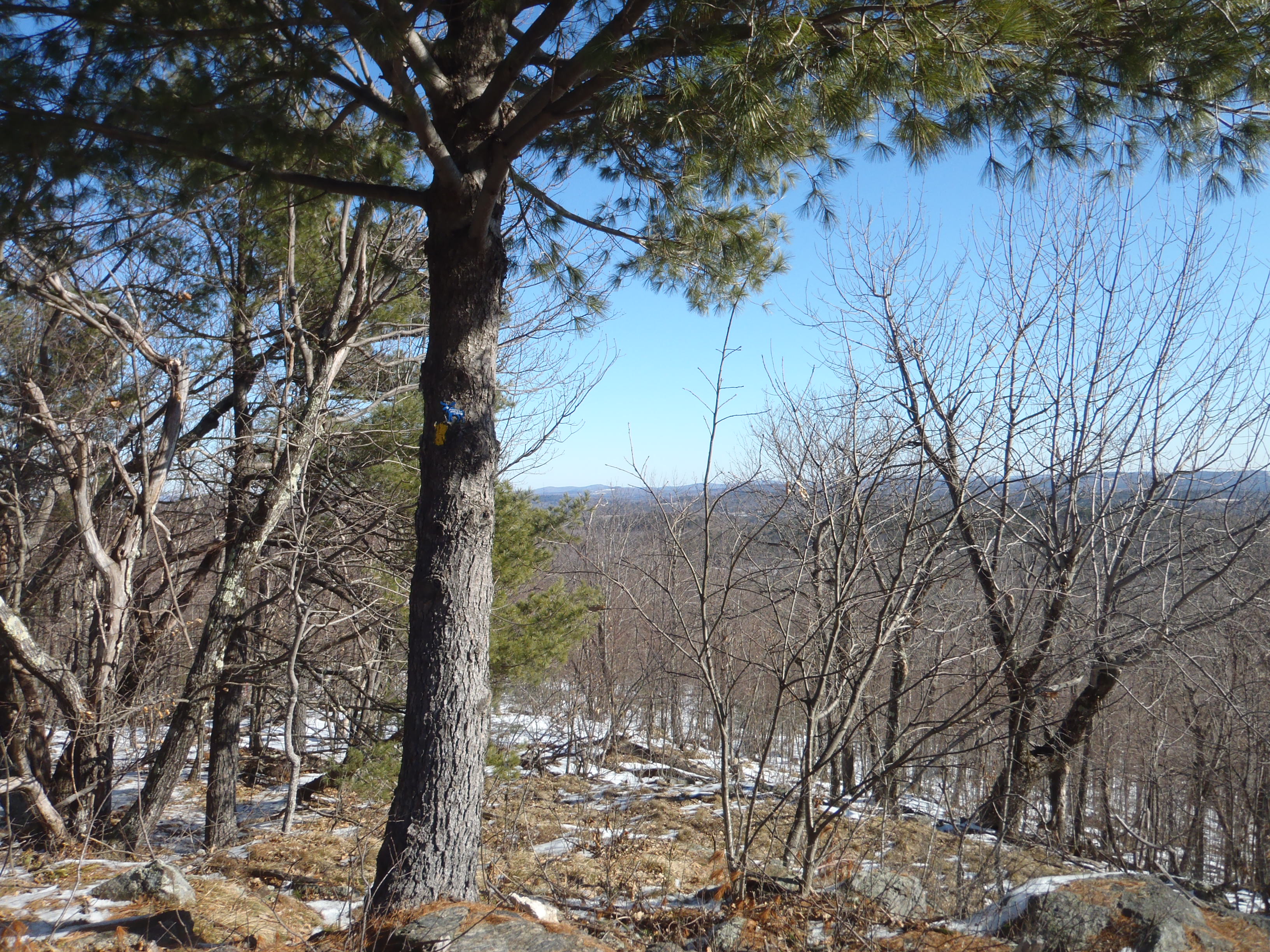
View East from Little Baldy

Beauty Ledge 180* View (pano)
Another view.
Beauty Ledge view

View through the trees to Moose Mountains
view across mousam
View North from Little Baldy
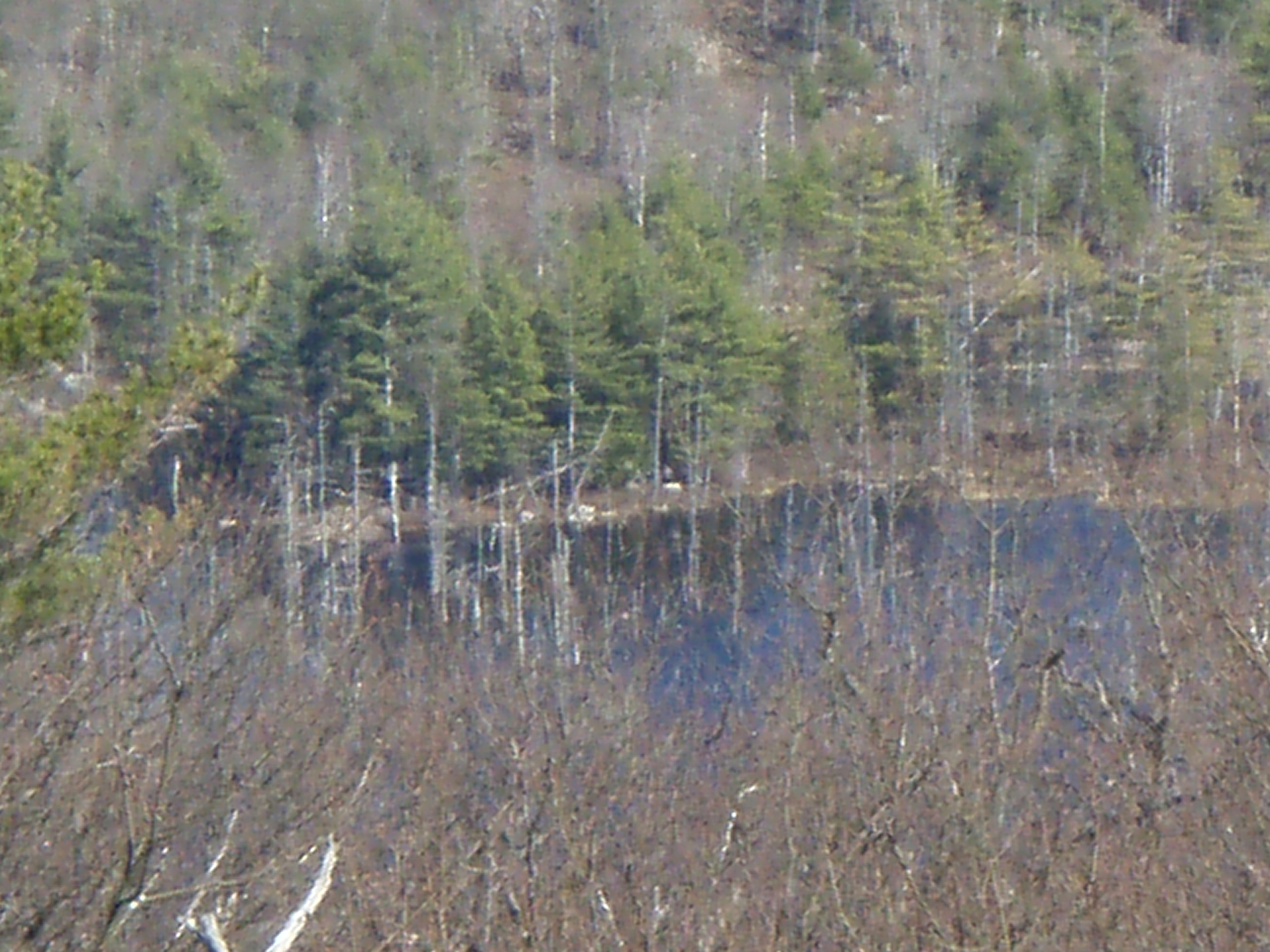
Heron Rookery as viewed from Phoebes Nable
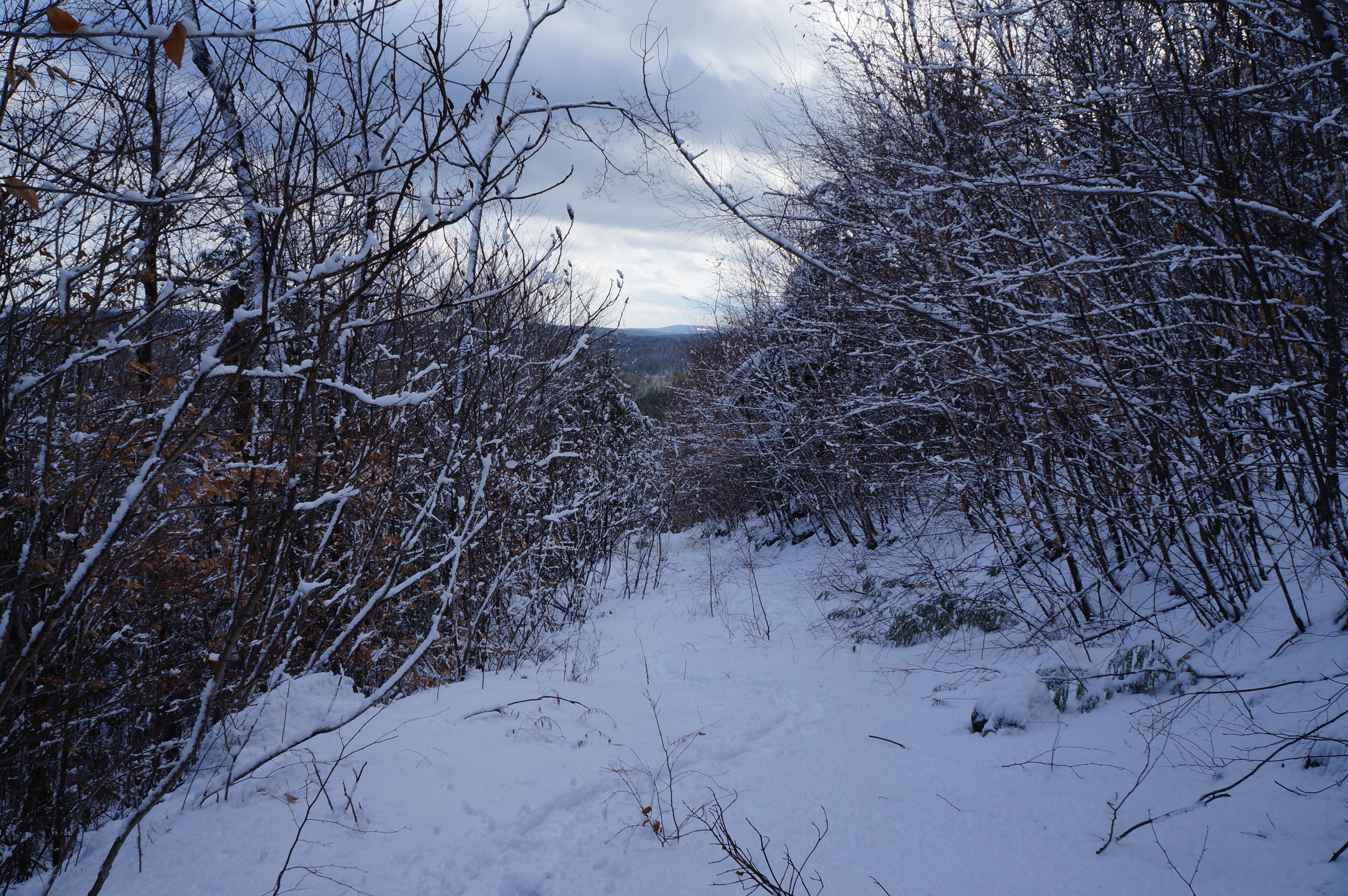
Partial view down the steep hill of Phoebes Nable Mt. trail
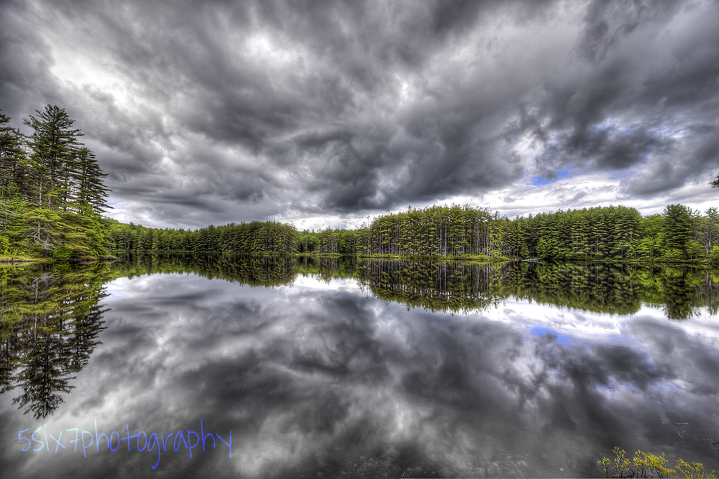
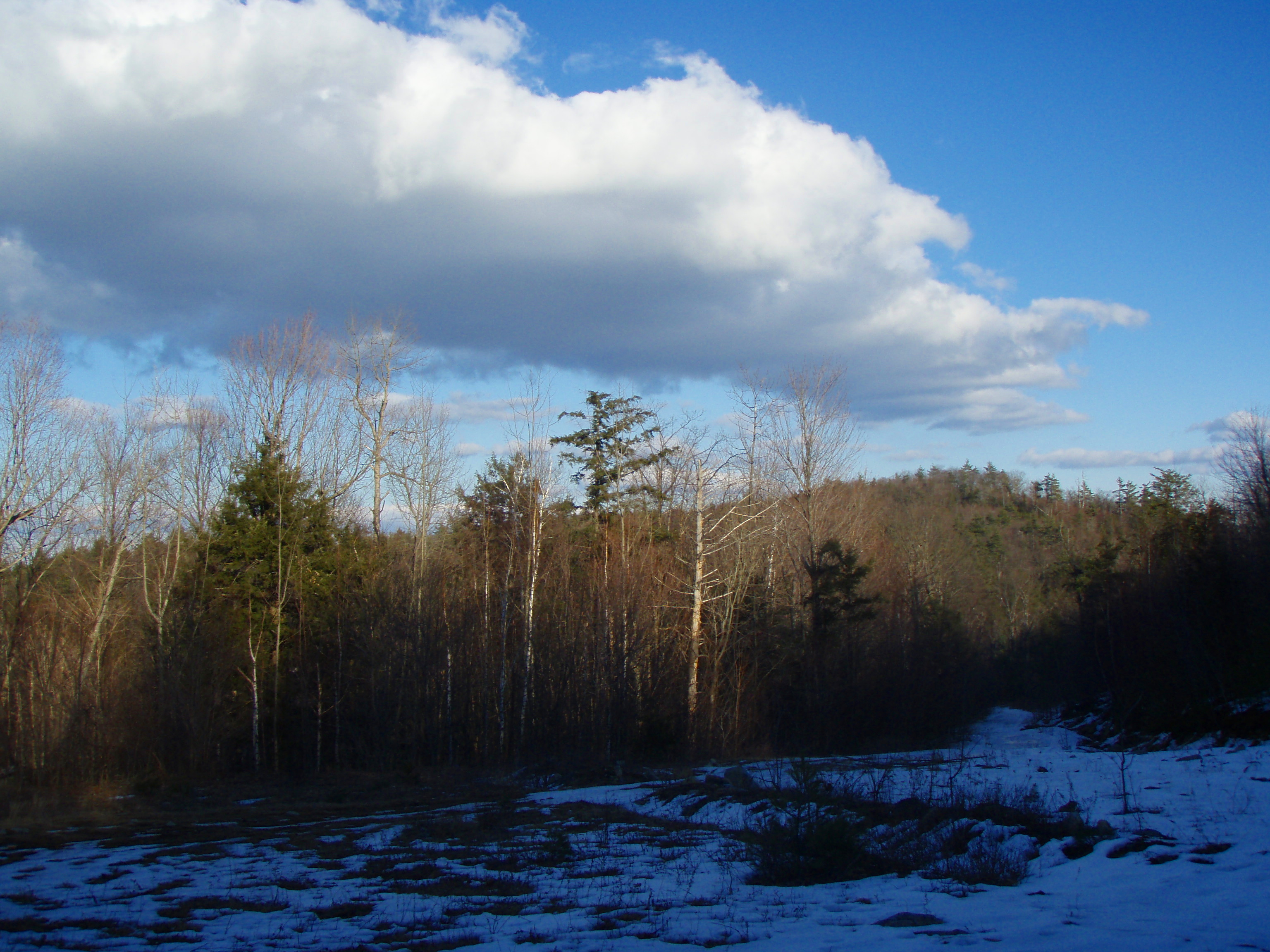
Cold Front HDR
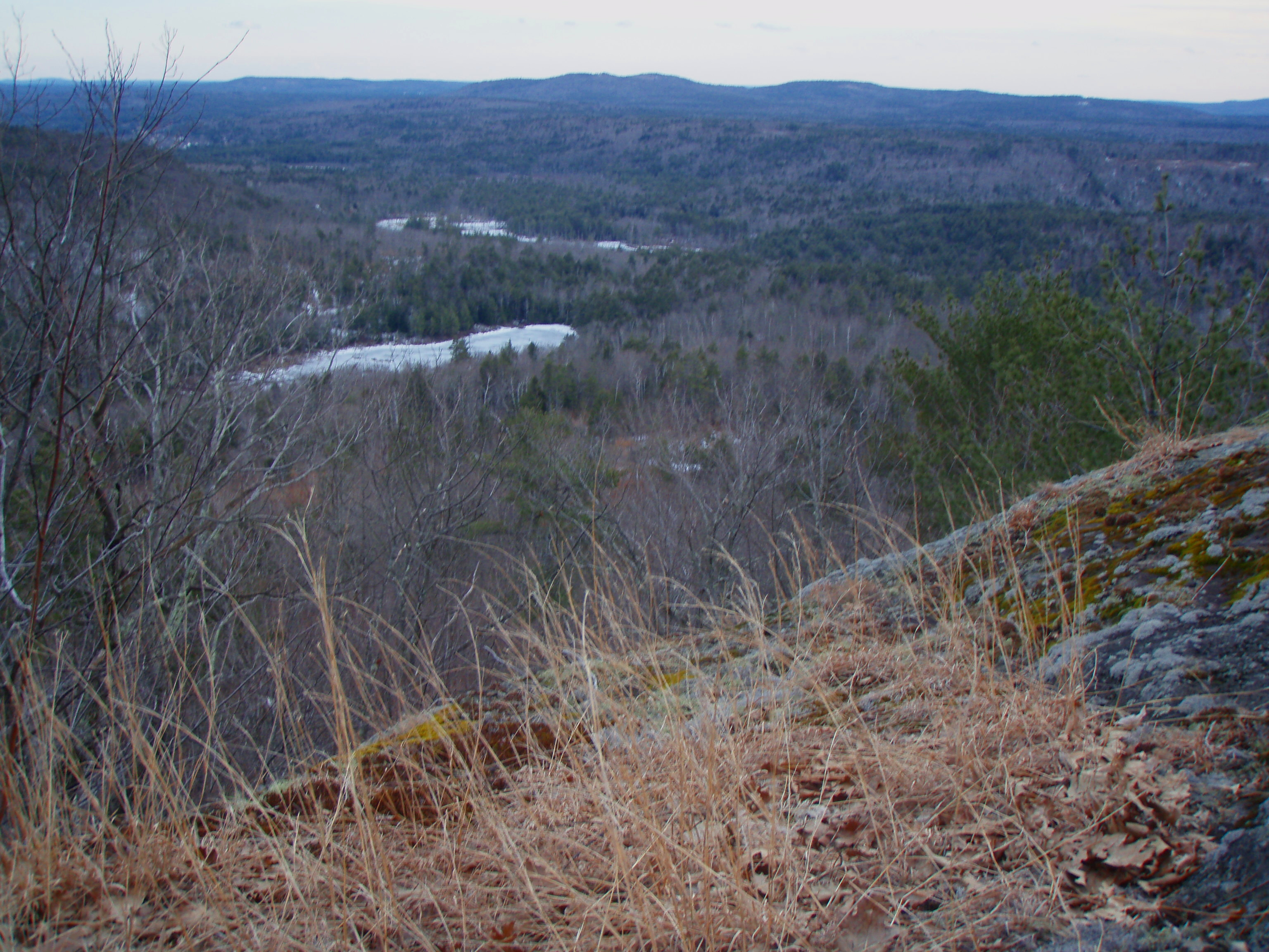
Berry's River
An shiny Burrows Farm Trail

Spring's Rage

Burrows Field
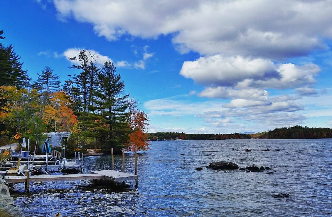
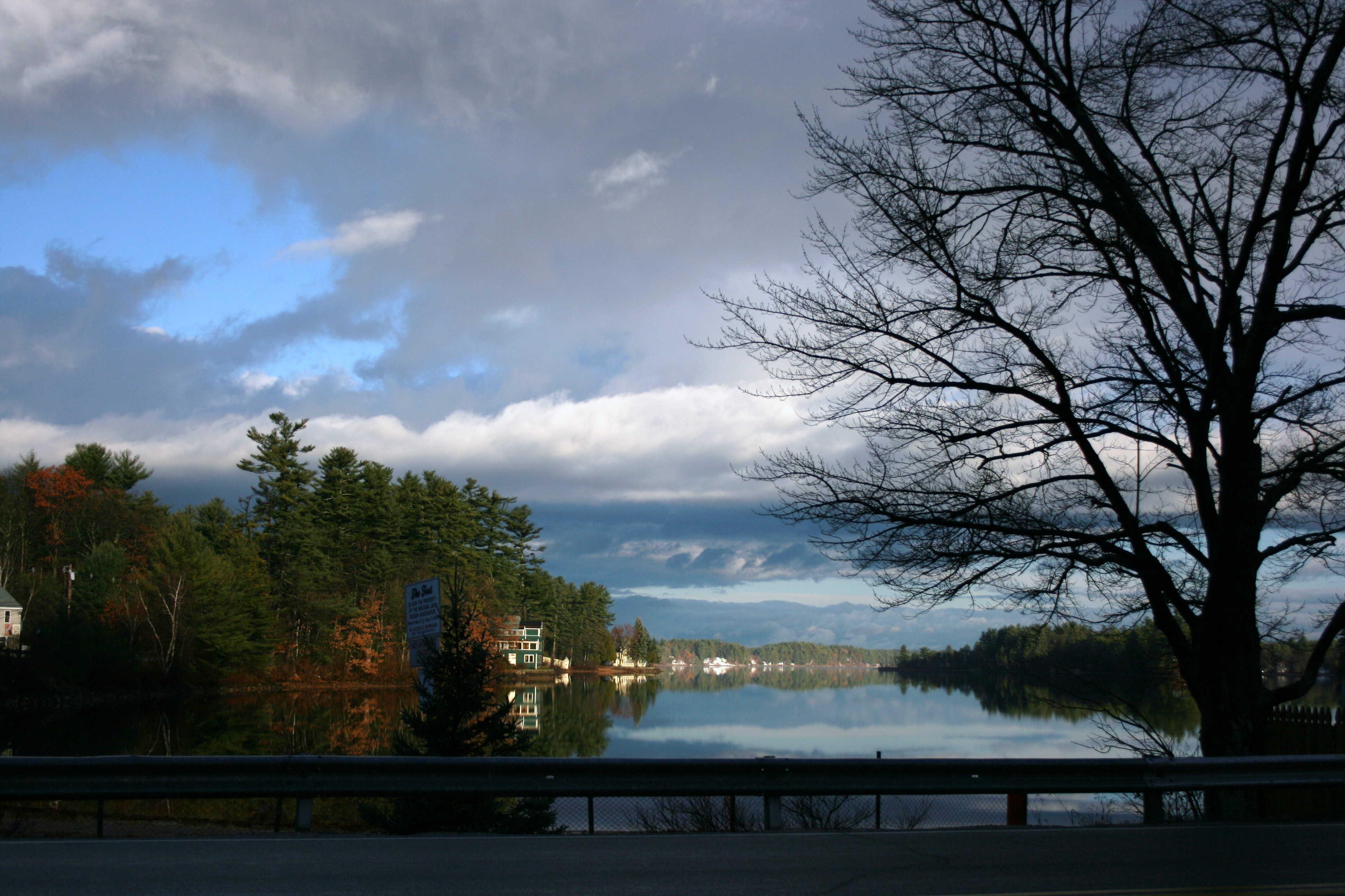
Lovell Lake in Sanbornville

New Hampshire - October 1975
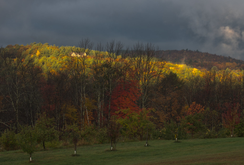
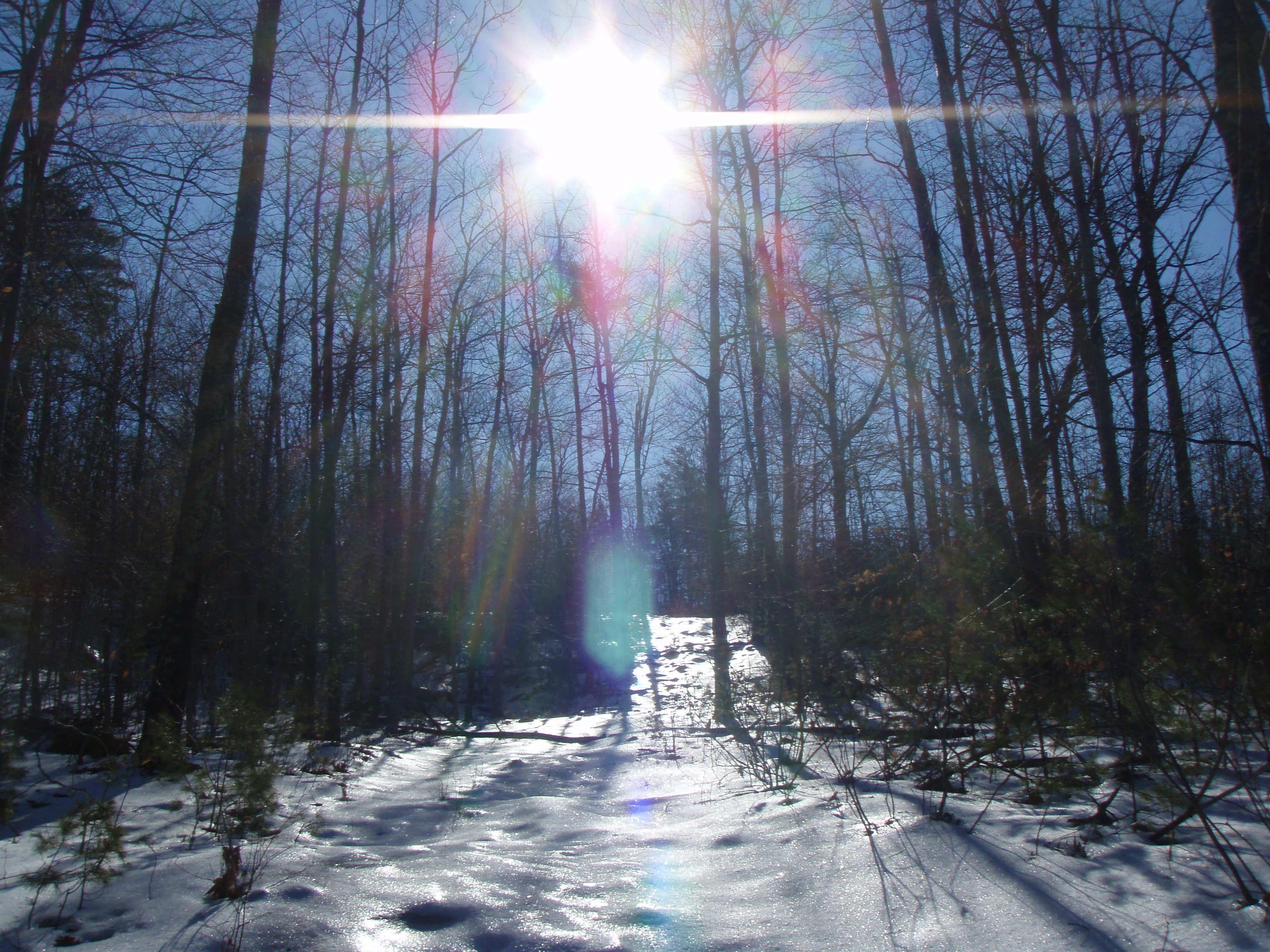
Sun on the hill
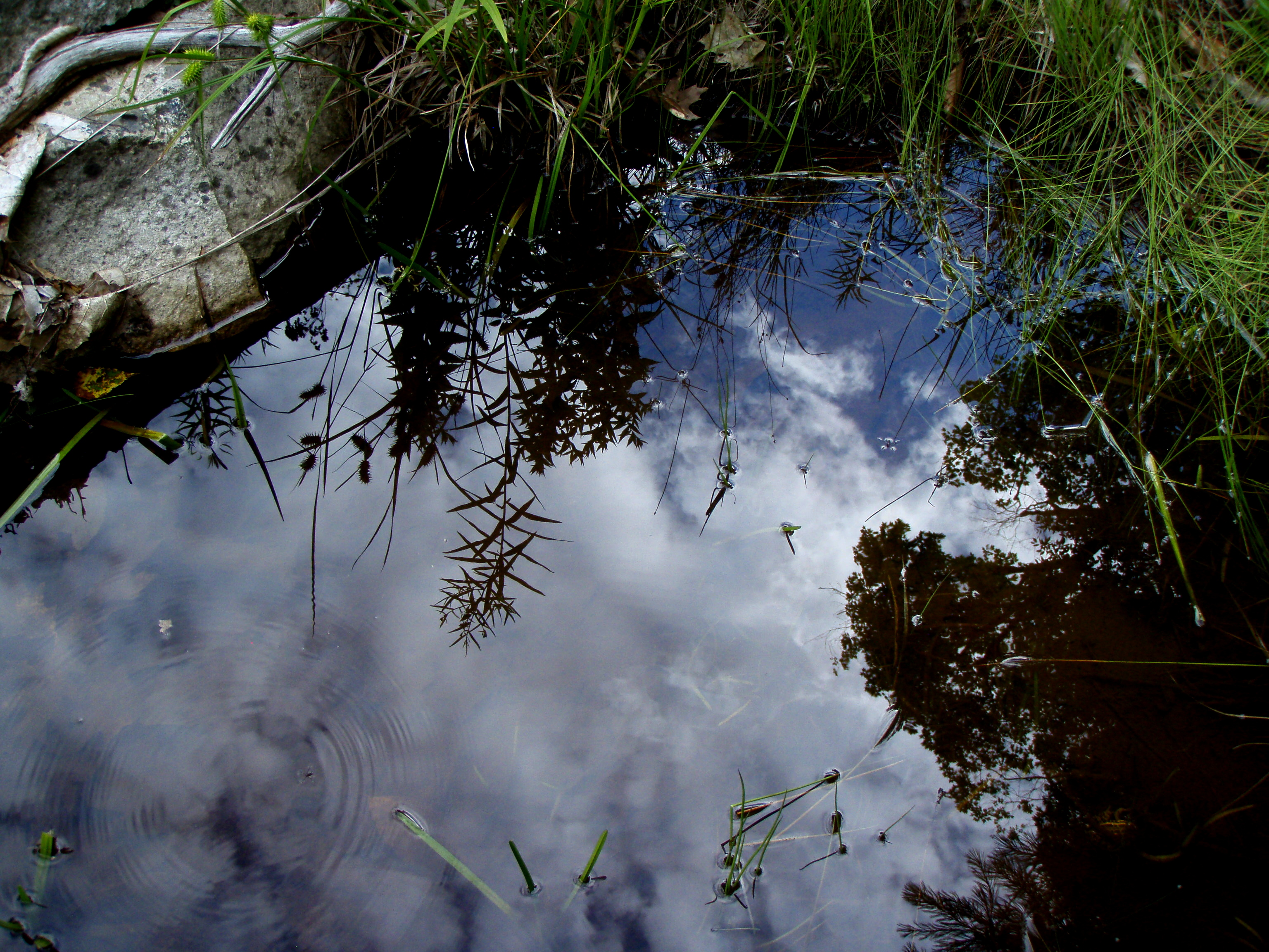
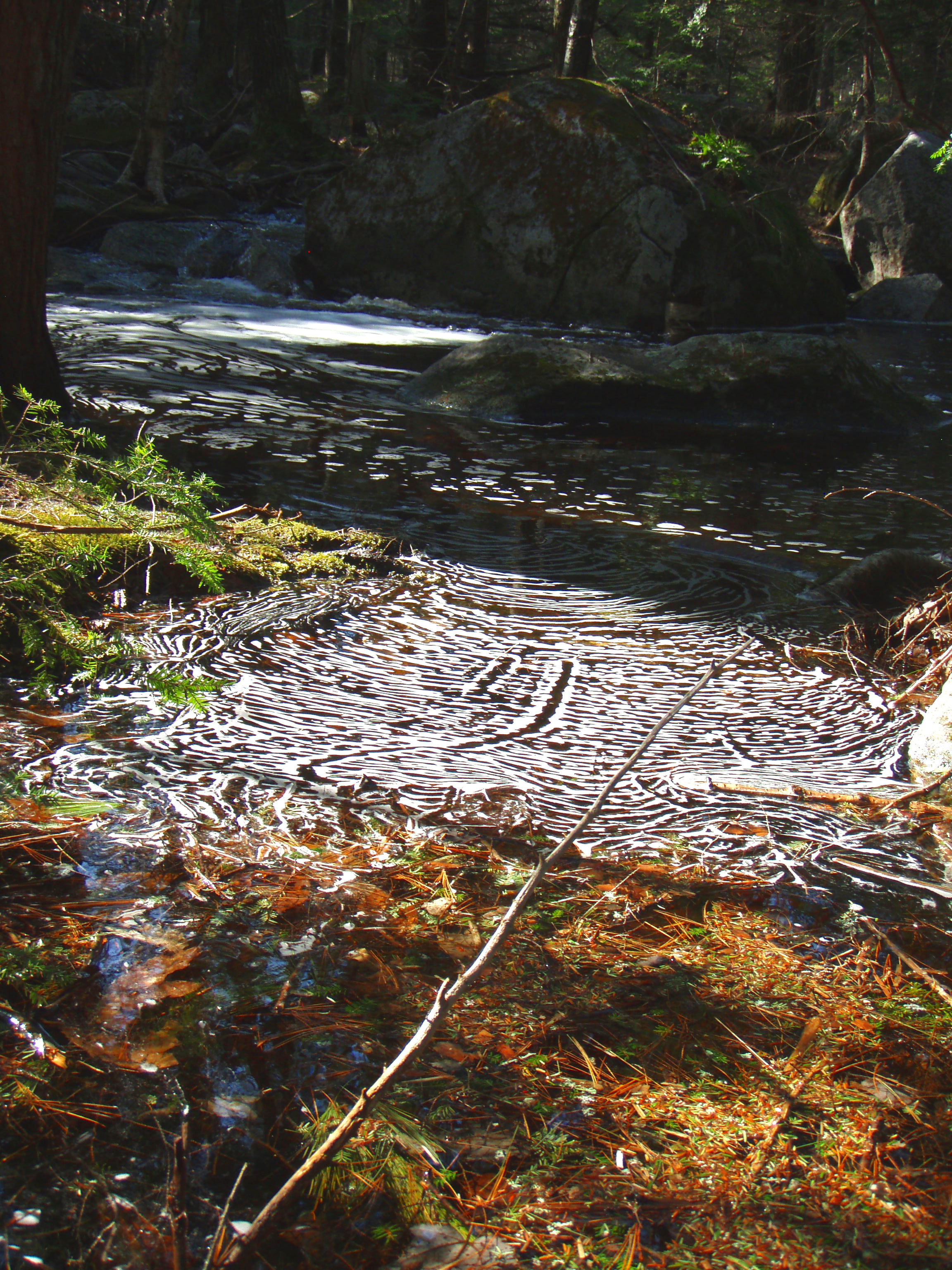
Reflection in a pool
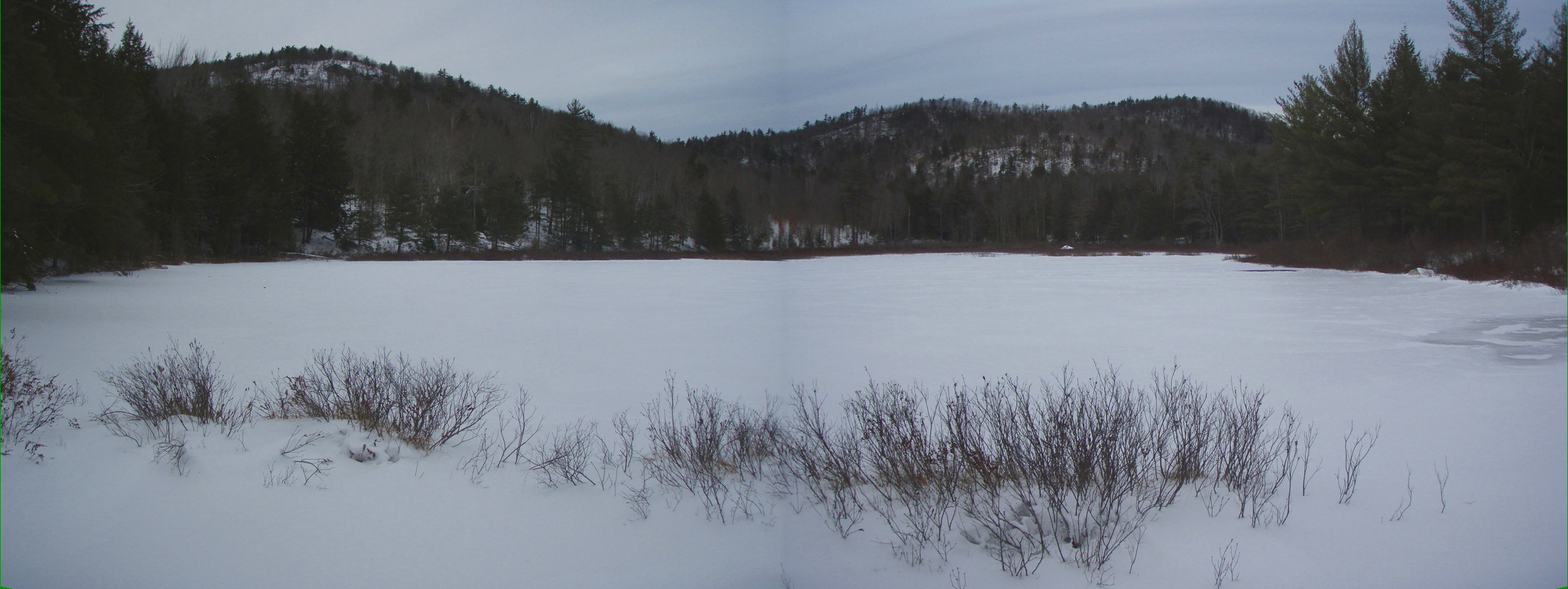
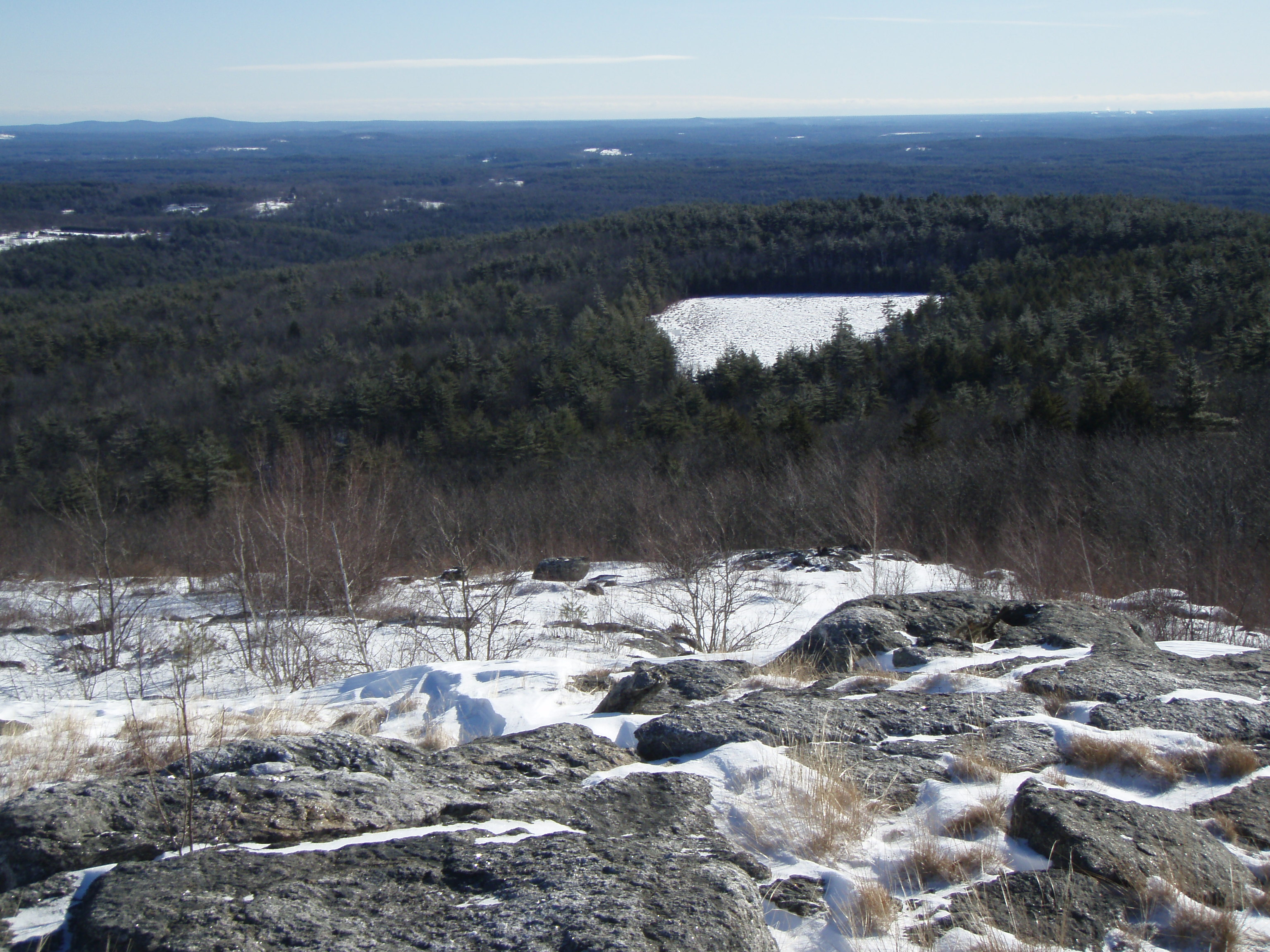
Bowser Pond 1.16.12 (pano)
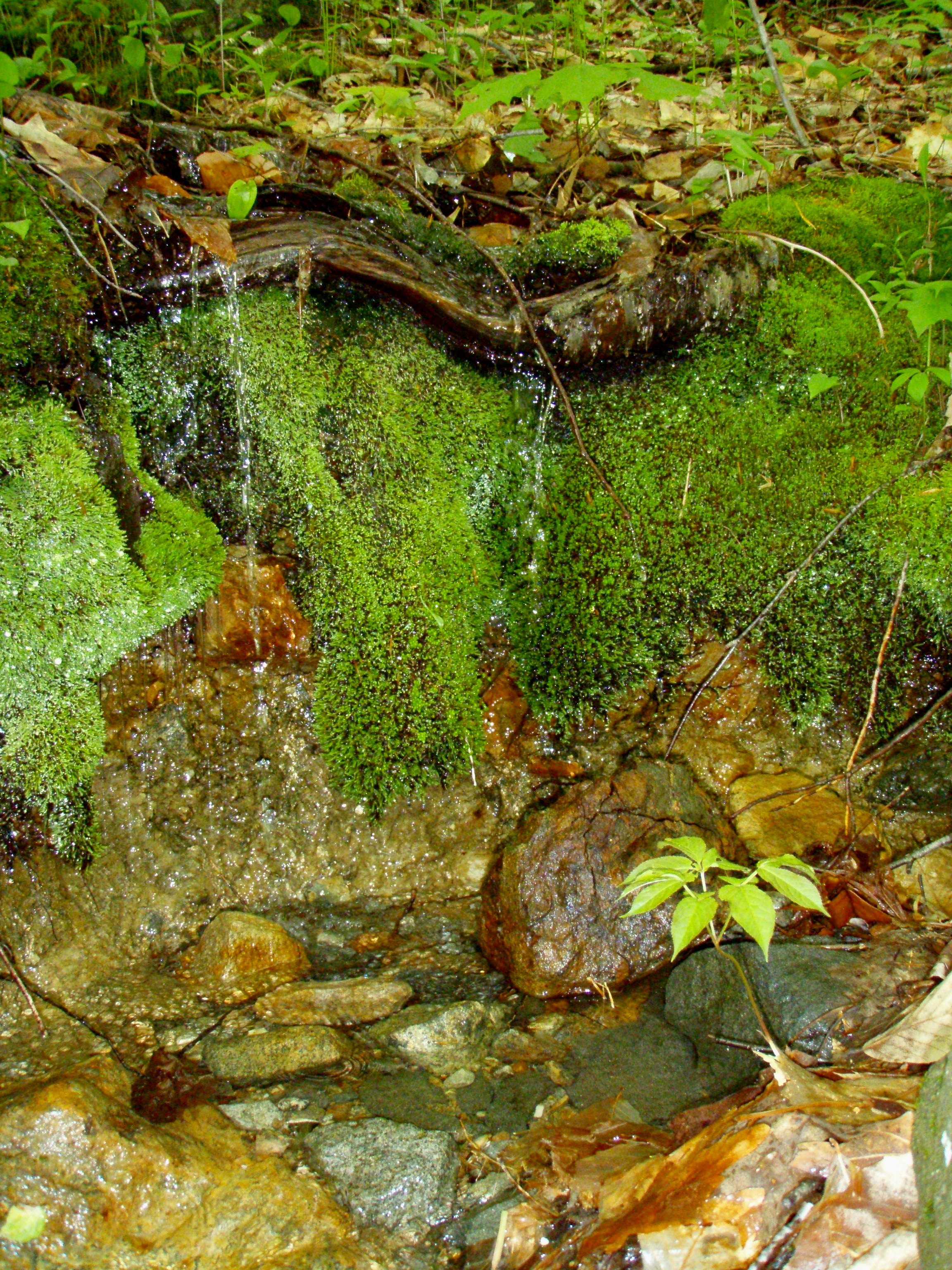
A Mossy Trickle

Burrows Brook

An Icy Burrows Brook

An Icy Burrows Brook
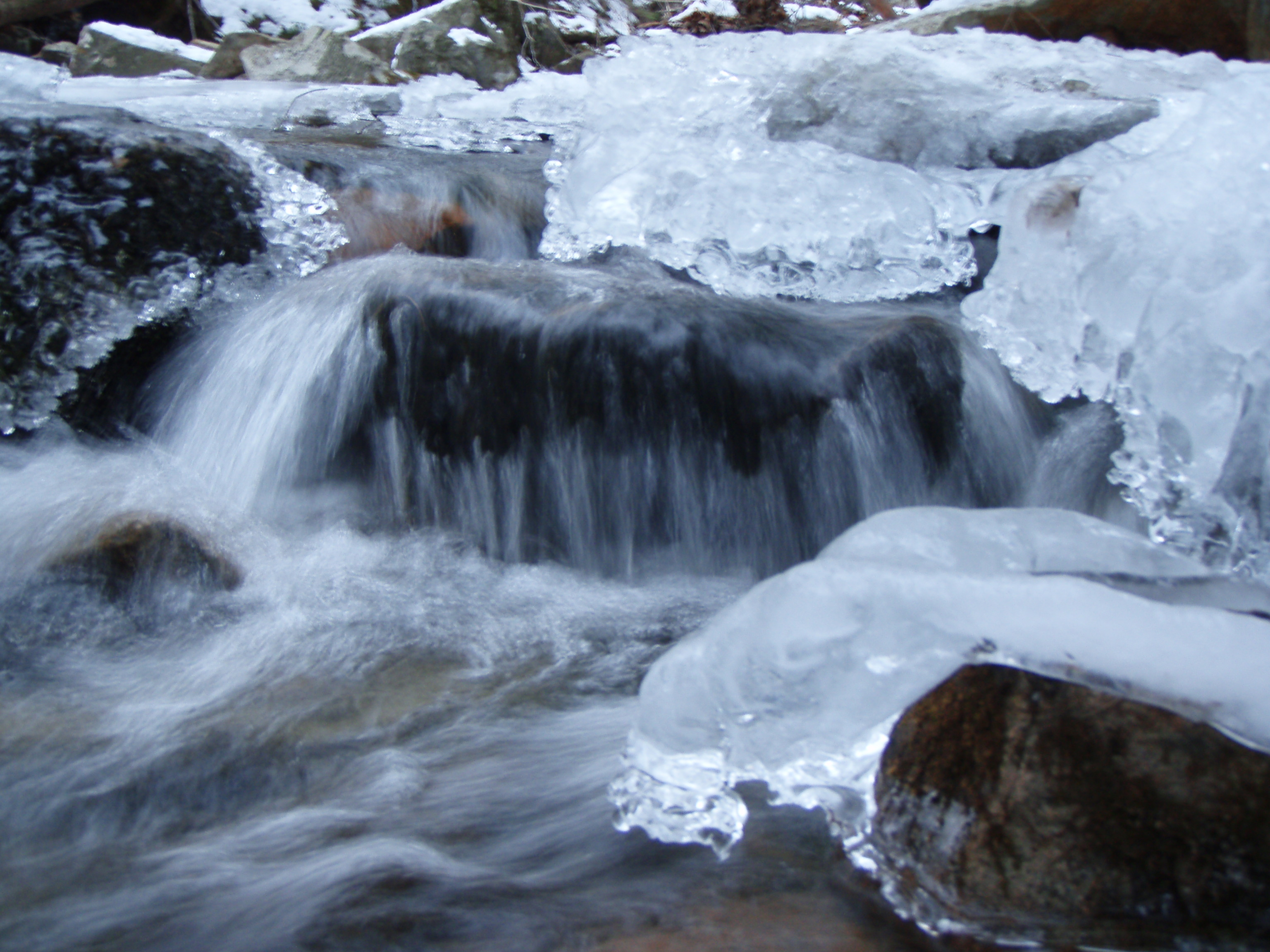
An Icy Burrows Brook
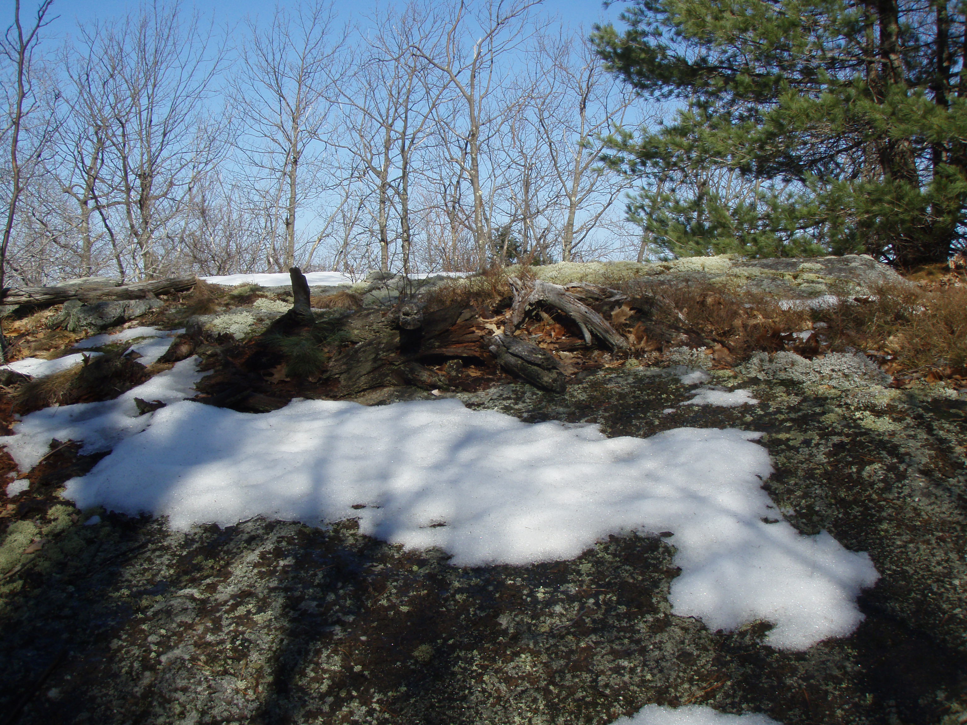
Beauty Knob
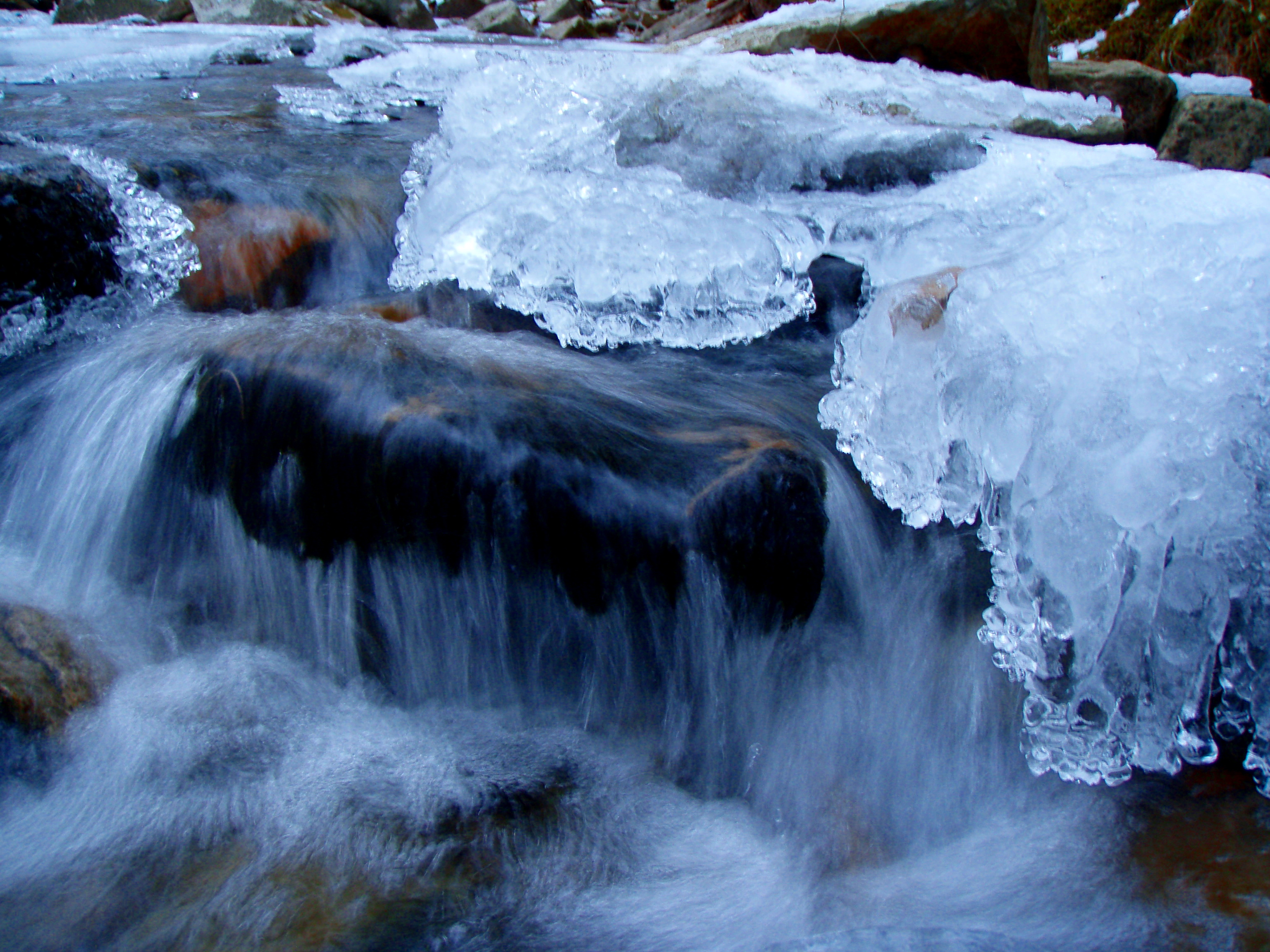
An Icy Burrows Brook
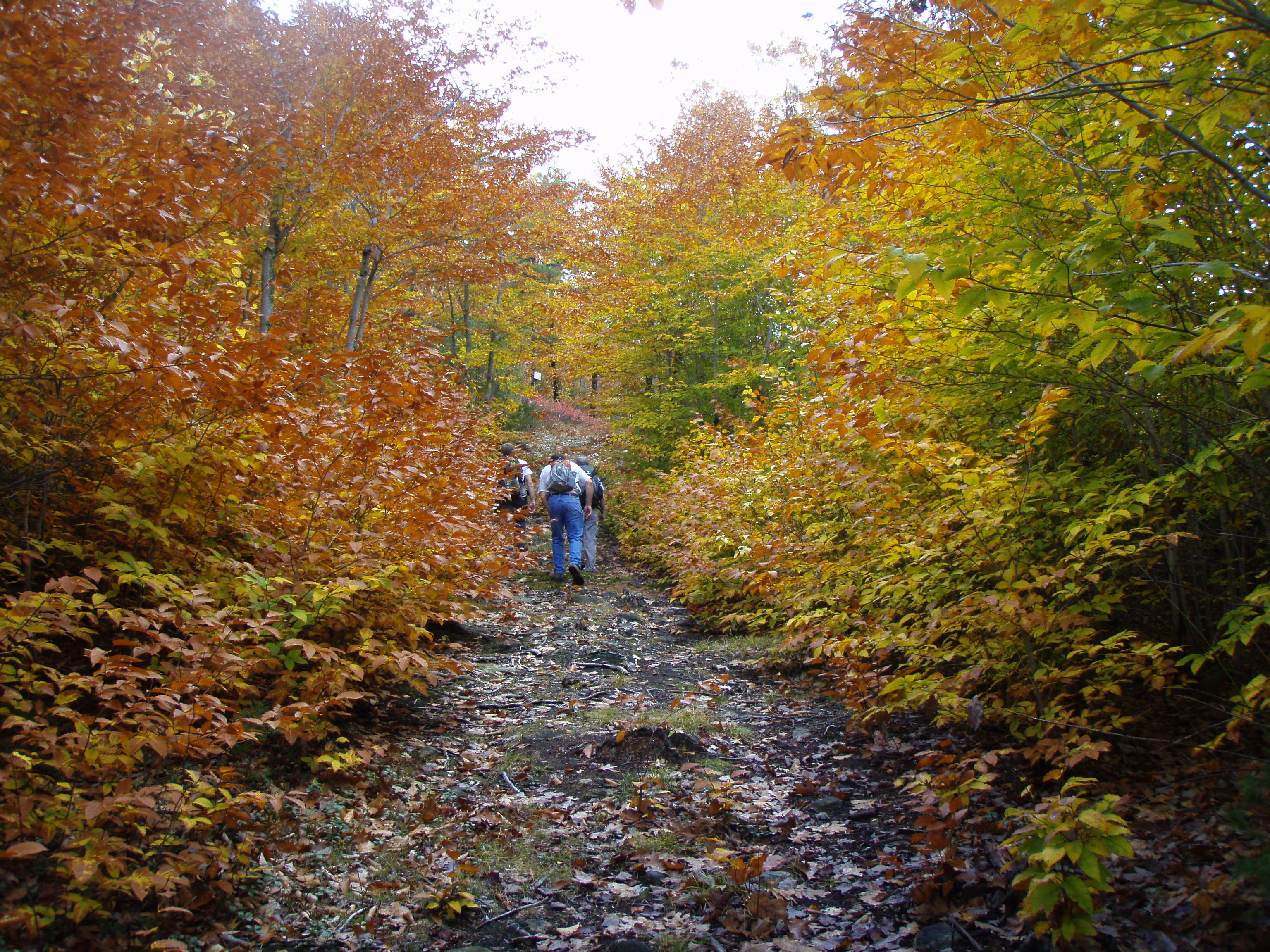
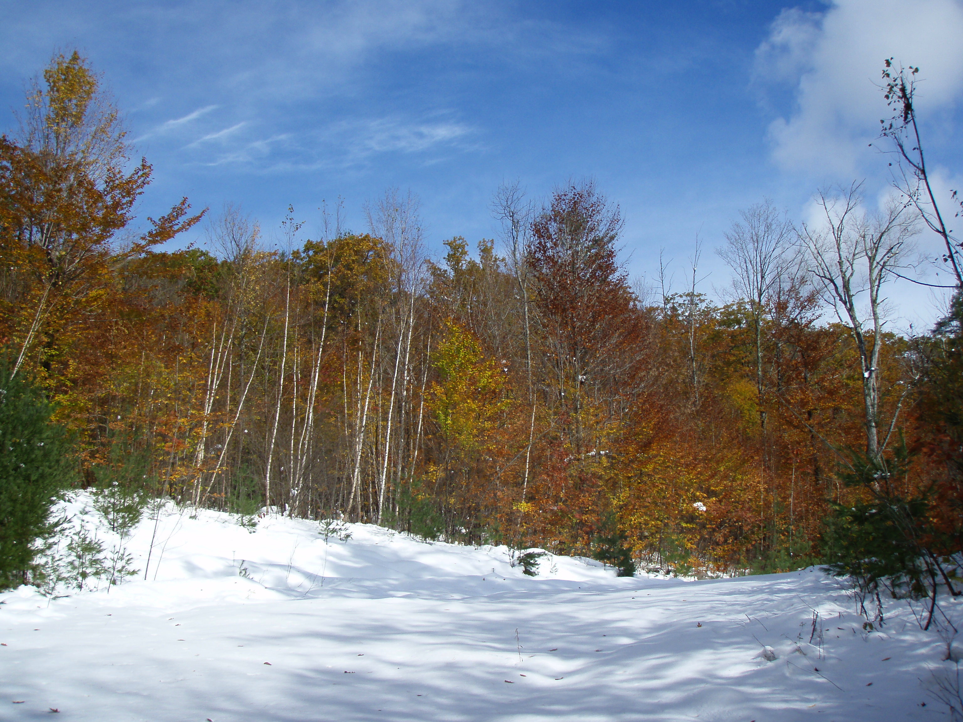
Foliage along Burrows Farm trail

Burrows brook
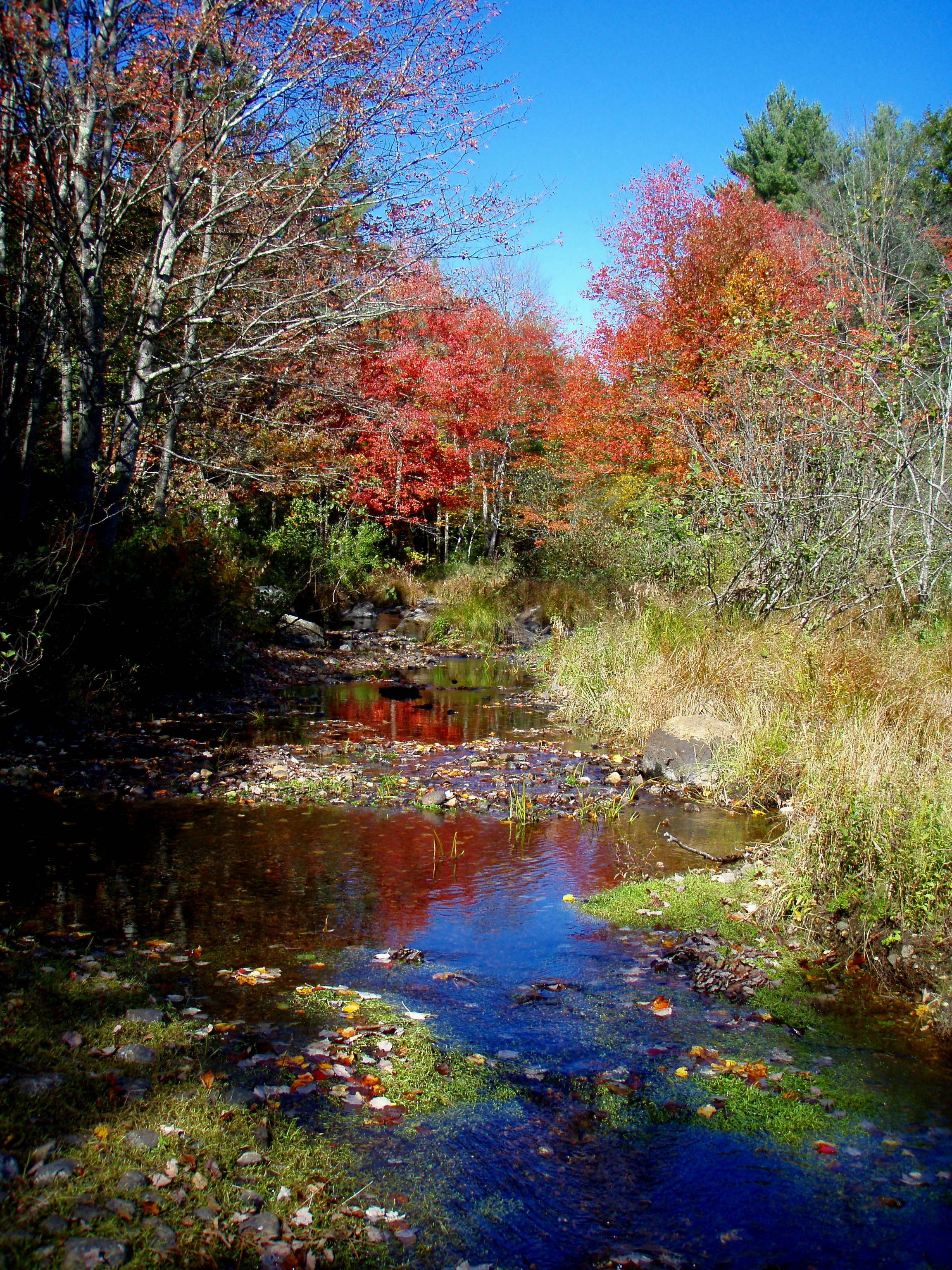
Reflective Foliage
Topographic Map of 43 Prospect Hill Rd, Lebanon, ME, USA
Find elevation by address:

Places near 43 Prospect Hill Rd, Lebanon, ME, USA:
318 Orrills Hill Rd
310 Orrills Hill Rd
29 Dawson St, Milton, NH, USA
151 Sam Wentworth Rd
Shapleigh Rd, Lebanon, ME, USA
Mckeagney Road
Richards Way
Richards Way
Merchants Row
33 Riverlawn Ave
Lebanon
Laverne Lane
6 Merchants Row
6 Merchants Row
6 Merchants Row
22 Laverne Lane
221 Salmon Falls Rd
59 Mills Rd
48 Monadnock Dr
21 Patton St
Recent Searches:
- Elevation of Bernina Dr, Lake Arrowhead, CA, USA
- Elevation of N 82nd Pl, Mesa, AZ, USA
- Elevation of Snake Hill Rd, North Scituate, RI, USA
- Elevation of Lake Shore Dr, Warwick, RI, USA
- Elevation of E Brightview Ave, Pittsburgh, PA, USA
- Elevation of Cavendish Rd, Harringay Ladder, London N4 1RR, UK
- Elevation of 1 Zion Park Blvd, Springdale, UT, USA
- Elevation of Ganderbal
- Elevation map of Konkan Division, Maharashtra, India
- Elevation of Netaji Nagar, Hallow Pul, Kurla, Mumbai, Maharashtra, India