Elevation of Salmon Falls Rd, Rochester, NH, USA
Location: United States > New Hampshire > Strafford County > Farmington > Rochester >
Longitude: -70.958990
Latitude: 43.3365718
Elevation: 66m / 217feet
Barometric Pressure: 101KPa
Elevation Map:
Satellite Map:
Related Photos:
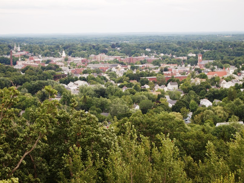
North from Garrison Hill Tower

M45 imaged with 50mm Borg

Barrington-2006-324-300

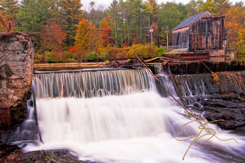
Somersworth mill

Stonehouse Pond - Barrington NH

Into the Cloud
Dover, NH: Anyone know what this building is?

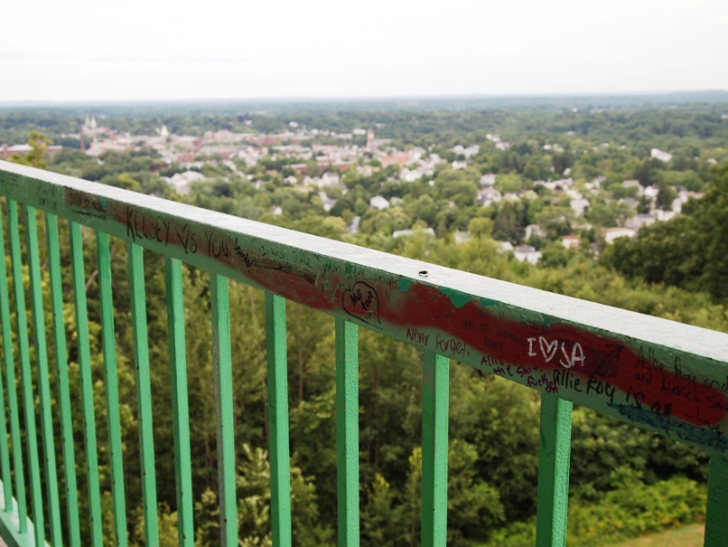
The View From Up Here
Dover, NH: Lookin' Out to 'Dovah'
Barrington-2006-329-300
Dover, NH: 'Dirty Dovah' Skyline
Dover, NH: View of the city

Dover, NH: Skyline from the tower
Pine View Orchard view
Barrington-2006-210-6x9
Barrington-2006-211-300
view out of door, right bedroom/office into living room

Read Across America
View From The Beach
Barrington-2006-203-300

The Hendins
Tiny Fall
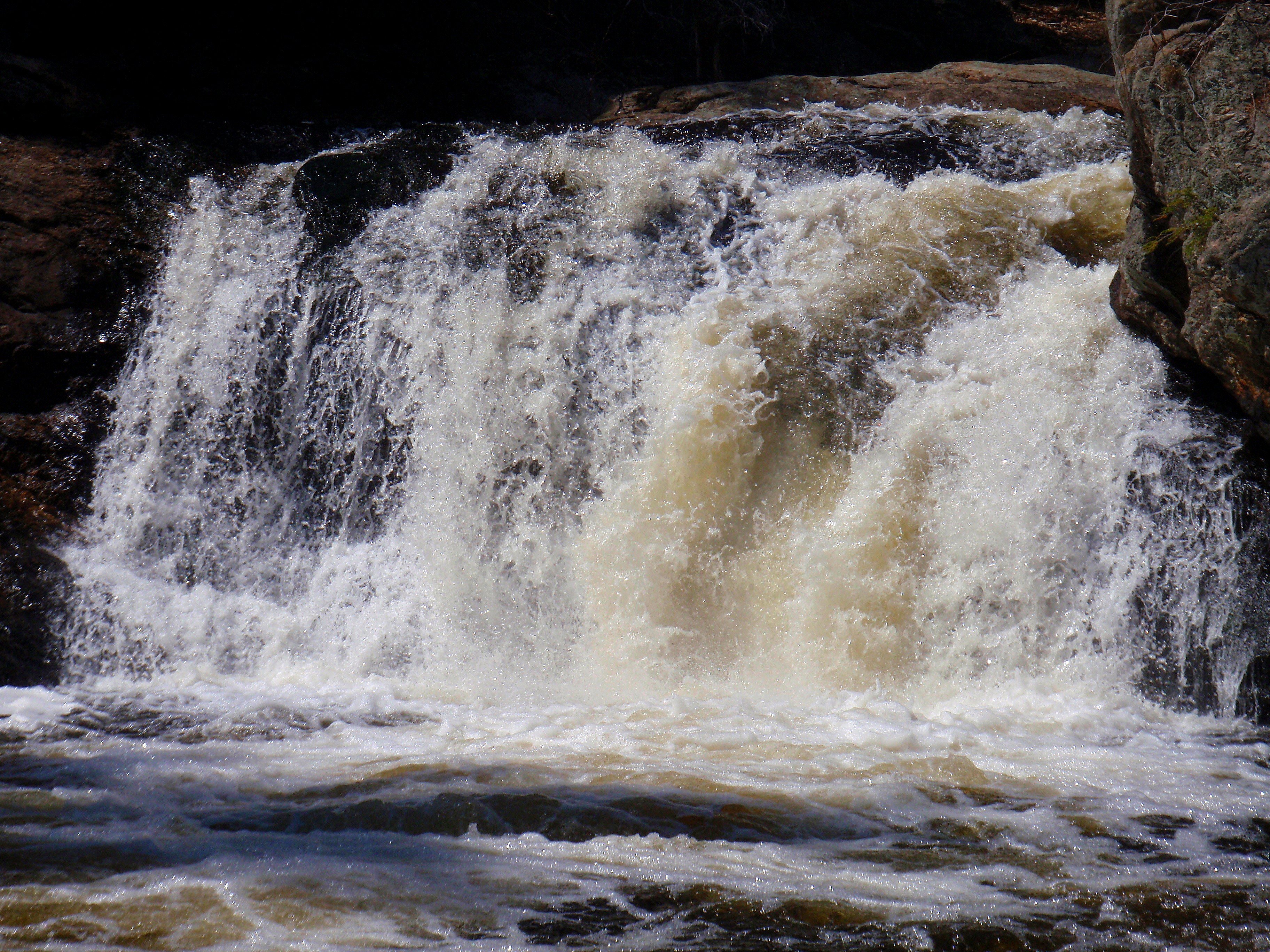
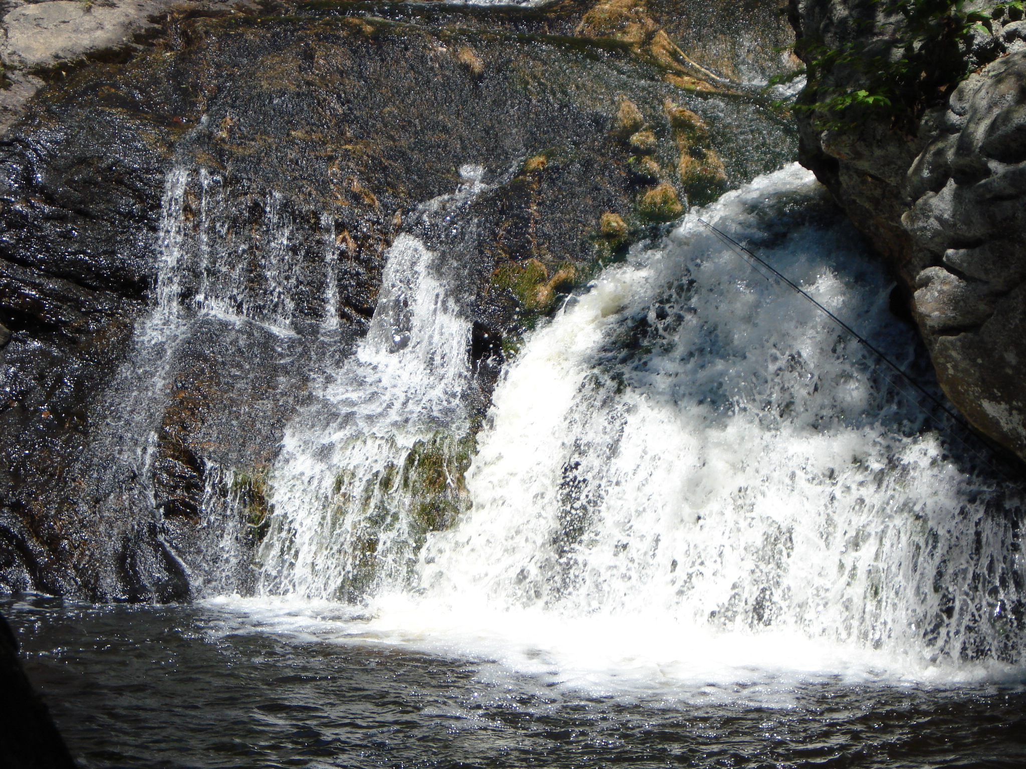
Falling Water
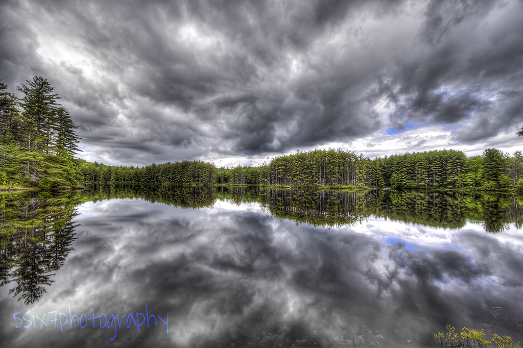
Cold Front HDR
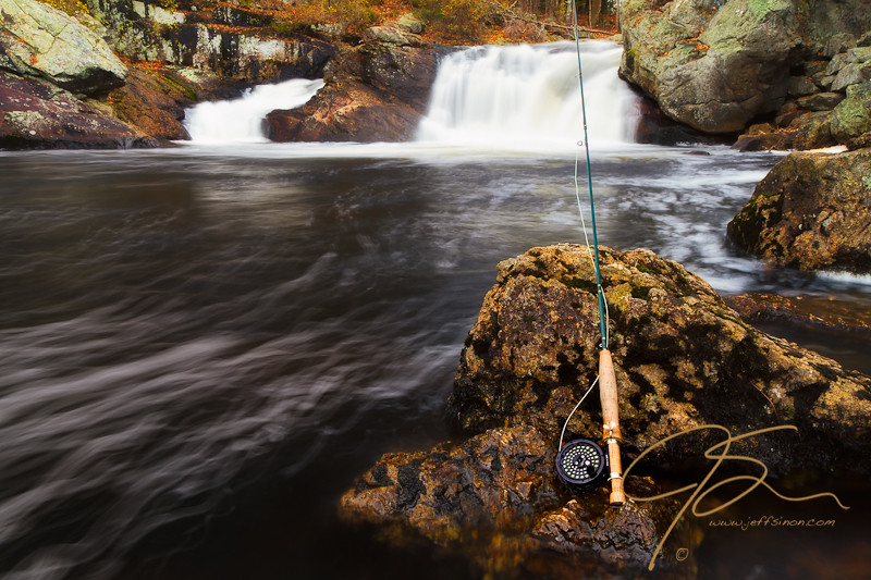
JSinon_Week 47: Feeling Nostalgic
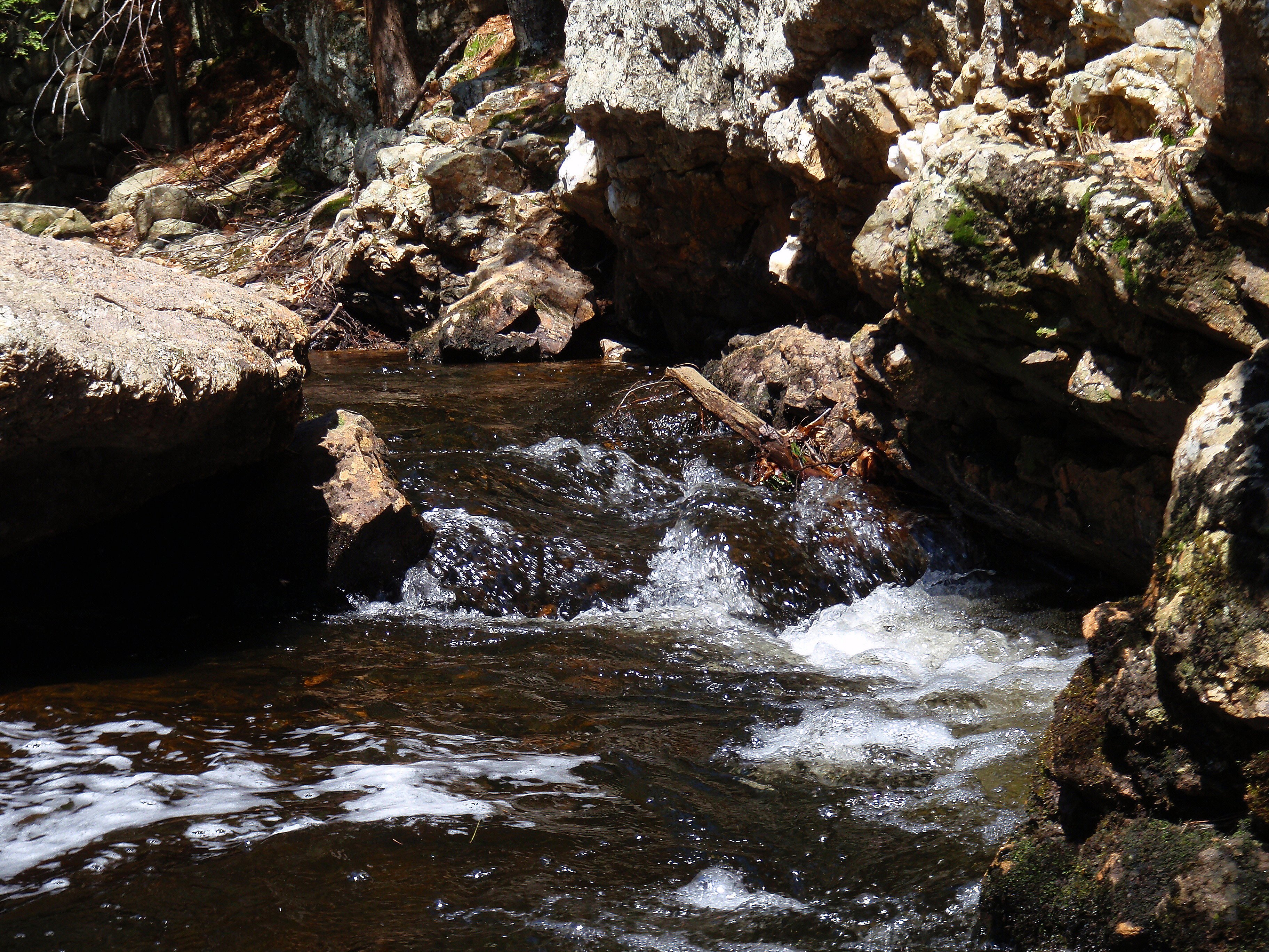
Berry's River
watson-road-waterfalls-1.jpg
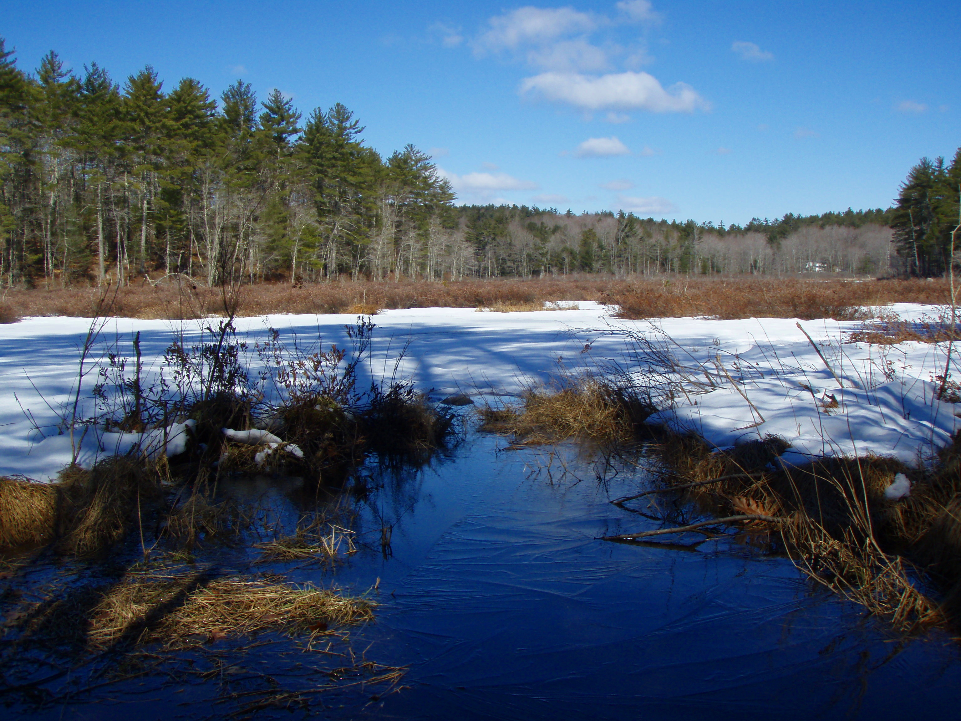
Goodwill Marsh
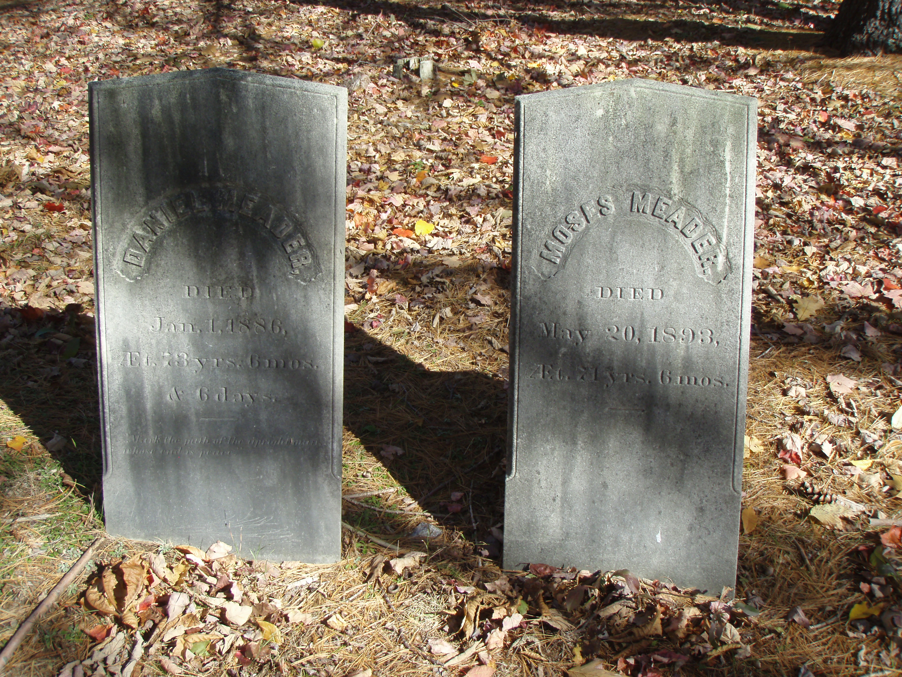
Moses Meader Cemetery
2/15/10 Sunset from Gonic, NH

New Hampshire - October 1975
Berry's River
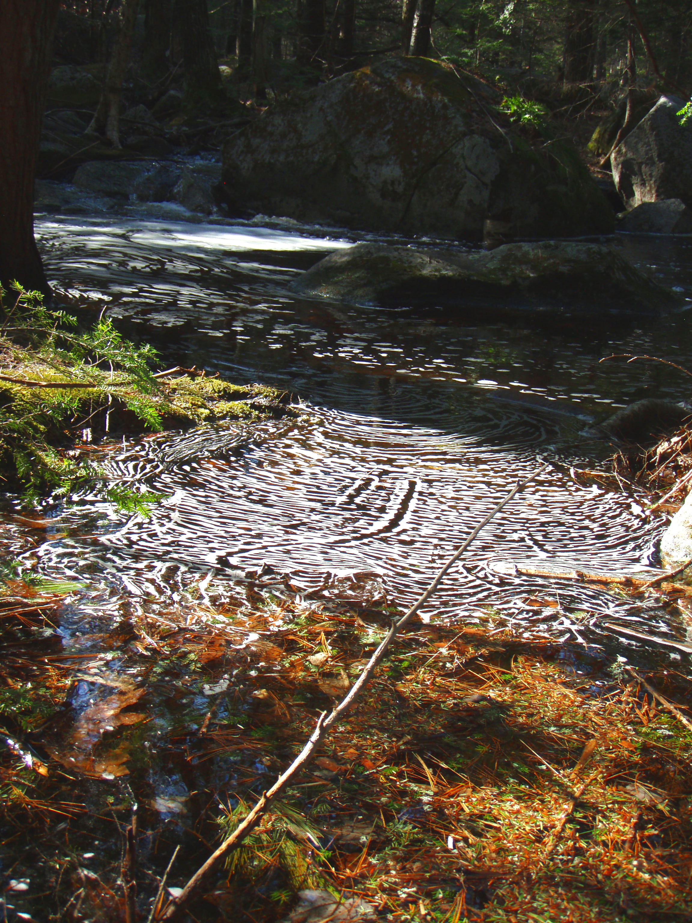
Melting Ice on Mossy Ledge
Richardson Pond

Berry's River
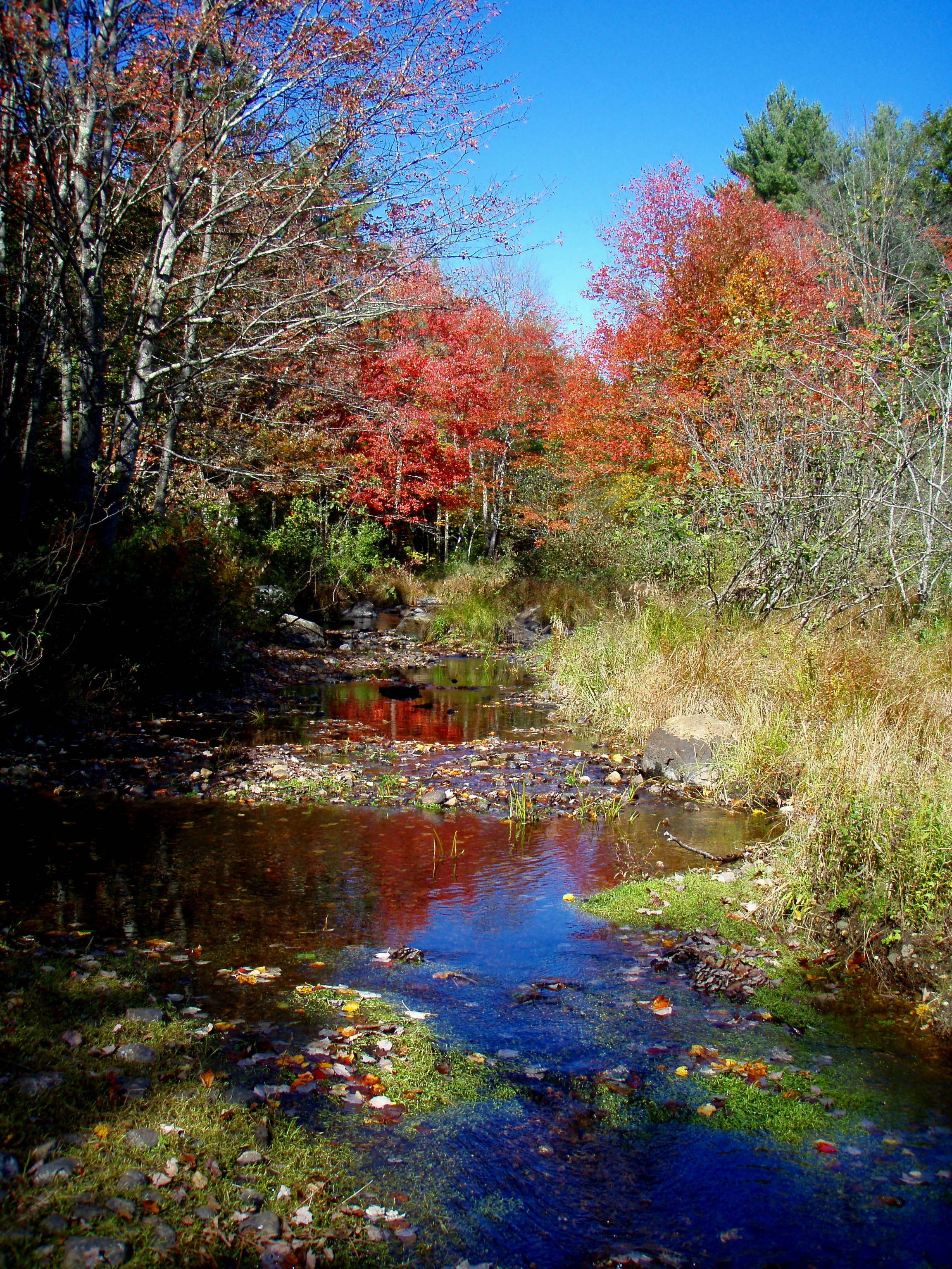
Reflective Foliage
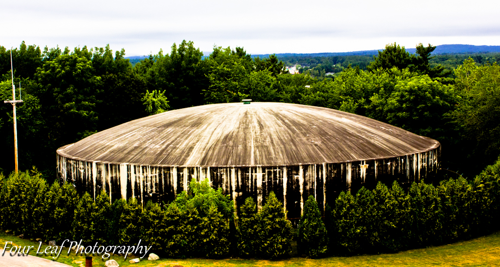
Water Supply
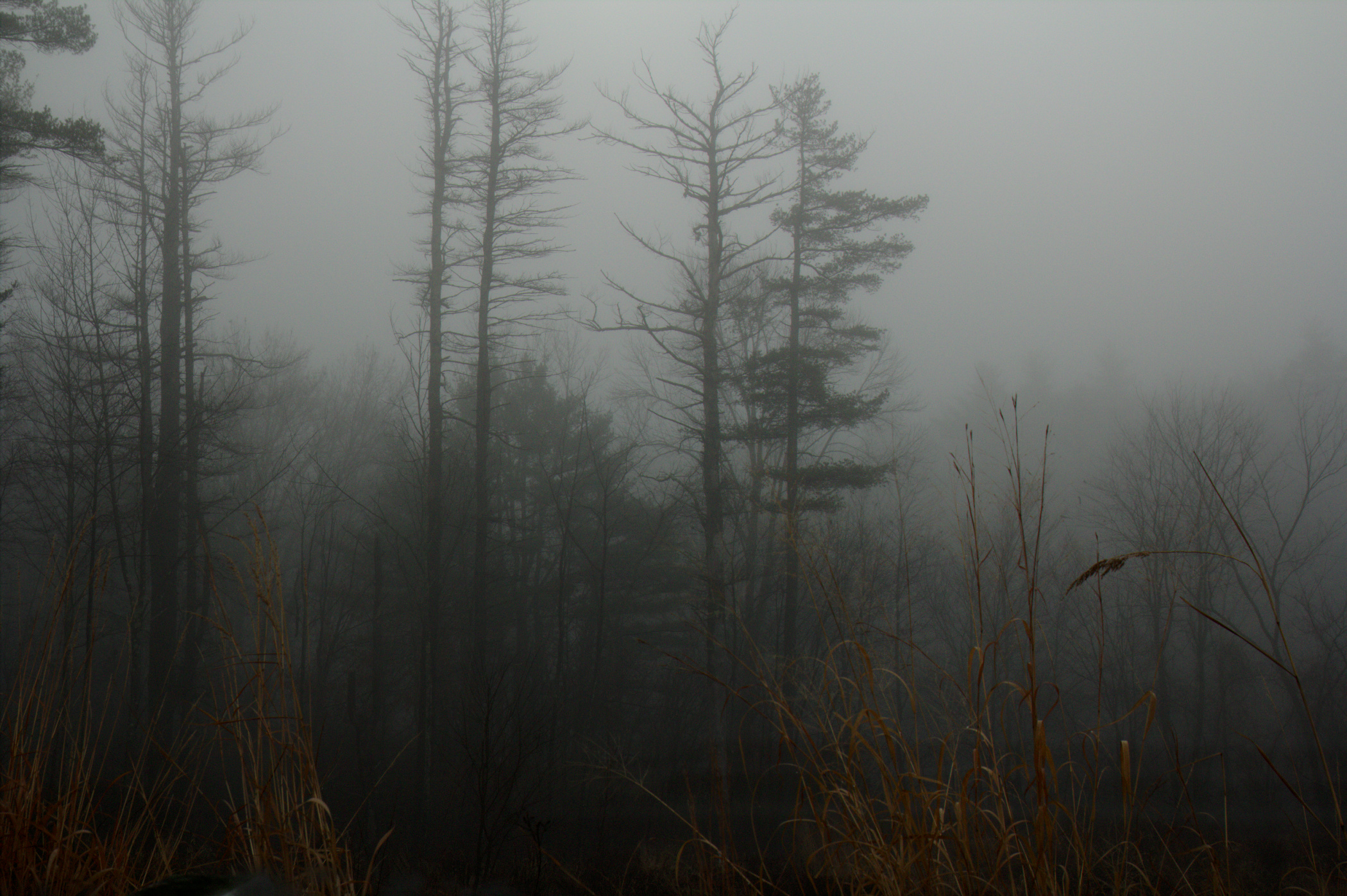
Living in a chill - December fog
Isinglass River
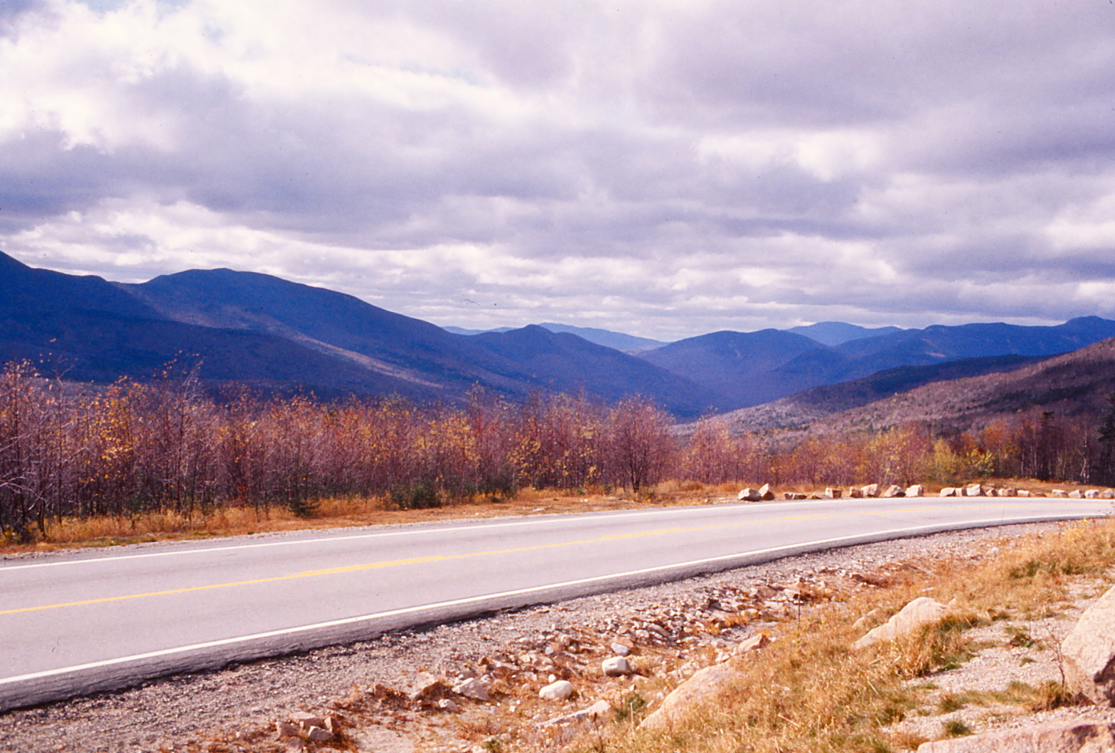
New Hampshire - October 1975
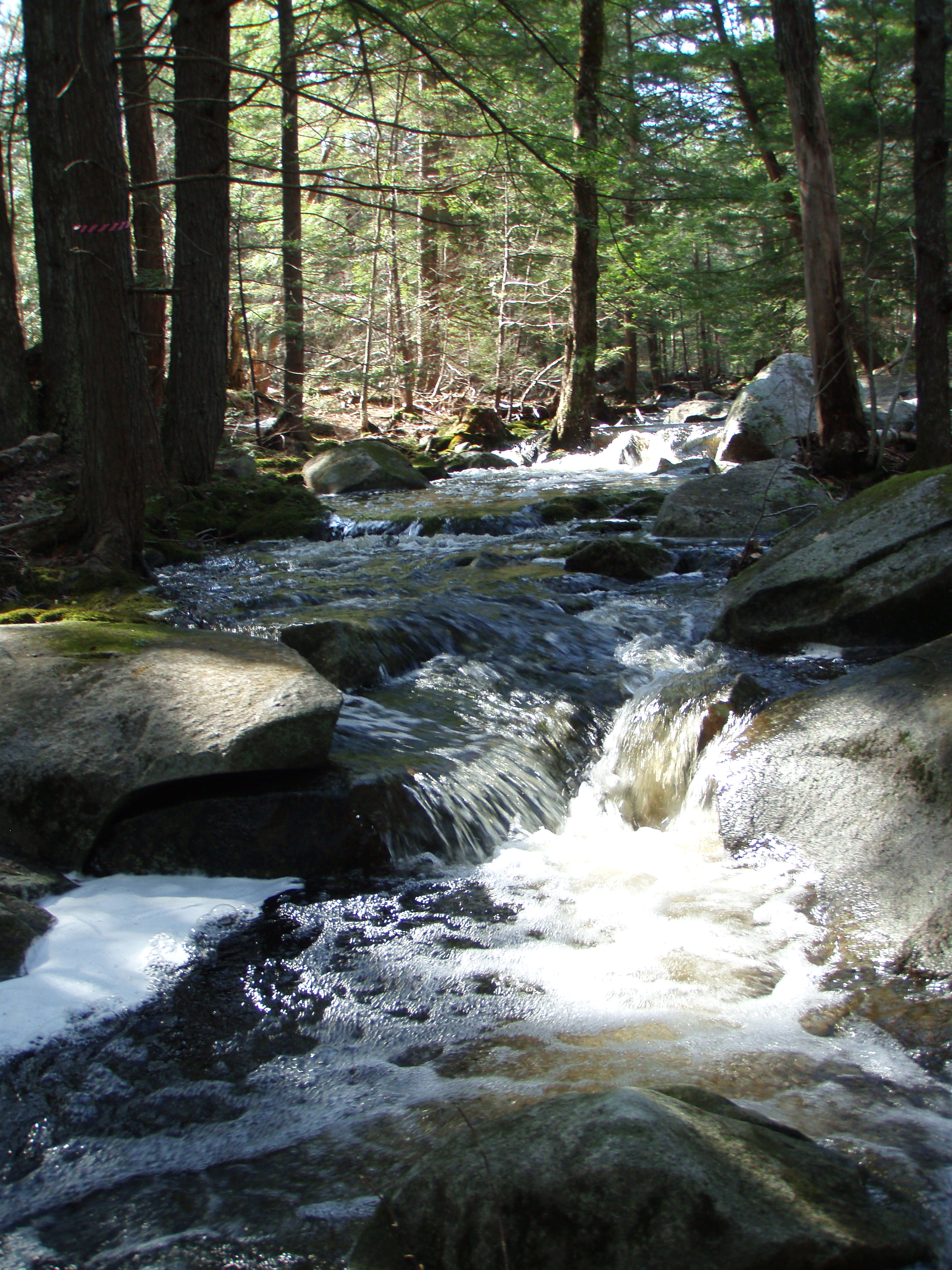
Berry's River
Topographic Map of Salmon Falls Rd, Rochester, NH, USA
Find elevation by address:

Places near Salmon Falls Rd, Rochester, NH, USA:
33 Riverlawn Ave
31 Anderson Ln
635 Salmon Falls Rd
635 Salmon Falls Rd
Rochester
21 Patton St
68 Charles St
48 Monadnock Dr
Shapleigh Rd, Lebanon, ME, USA
4 Henrietta St
25 Nola Ave
Richards Way
Richards Way
11 Weeping Willow Dr
46 Labrador Dr
151 Sam Wentworth Rd
4 Continental Blvd
238 Rochester Hill Rd
310 Orrills Hill Rd
Fillmore Boulevard
Recent Searches:
- Elevation of Holloway Ave, San Francisco, CA, USA
- Elevation of Norfolk, NY, USA
- Elevation of - San Marcos Pass Rd, Santa Barbara, CA, USA
- Elevation of th Pl SE, Issaquah, WA, USA
- Elevation of 82- D Rd, Captain Cook, HI, USA
- Elevation of Harlow CM20 2PR, UK
- Elevation of Shenyang Agricultural University, Dong Ling Lu, Shen He Qu, Shen Yang Shi, Liao Ning Sheng, China
- Elevation of Alpha Dr, Melbourne, FL, USA
- Elevation of Hiroshima University, 1-chōme-3-2 Kagamiyama, Higashihiroshima, Hiroshima -, Japan
- Elevation of Bernina Dr, Lake Arrowhead, CA, USA