Elevation of Laurel Mountain, Clover, WV, USA
Location: United States > West Virginia > Tucker County > Clover >
Longitude: -79.833333
Latitude: 39.142222
Elevation: 957m / 3140feet
Barometric Pressure: 90KPa
Elevation Map:
Satellite Map:
Related Photos:
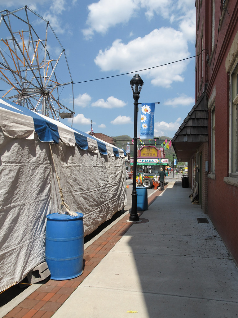
A carnival is installed downtown.
view from the porch
view from Rt-50
Casting Off at the Cheat
20180627_134448-01
Moats Falls on the Tygart River, just below Arden. (Panorama)

WV sunset
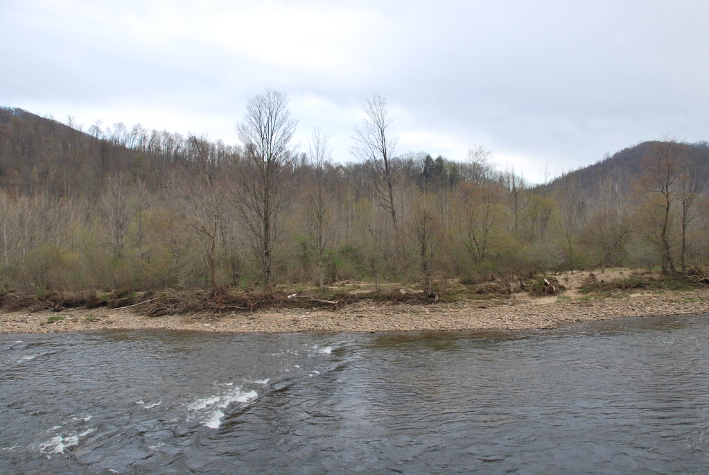
Cheat River near Parsons
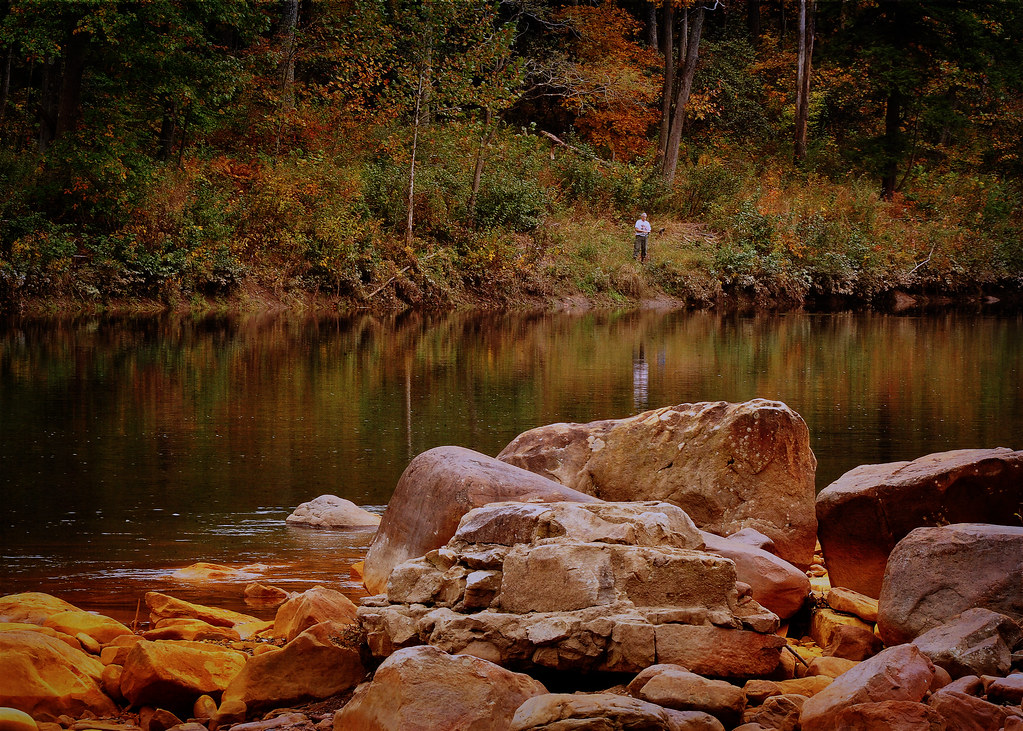
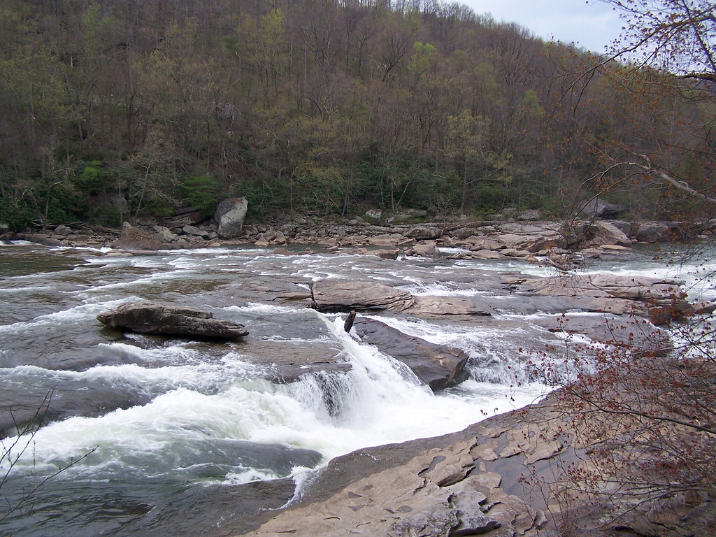
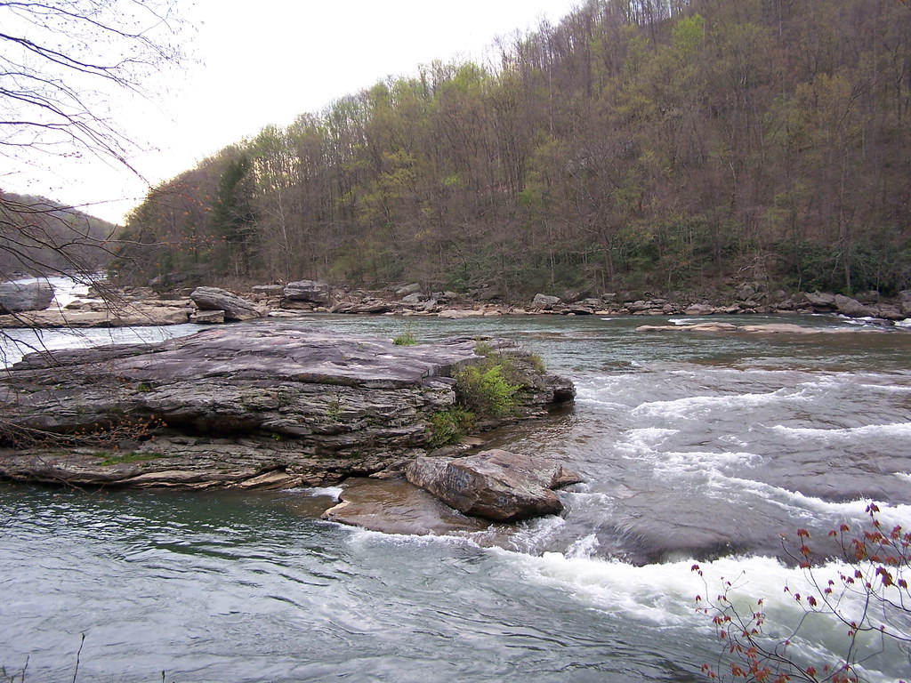
Tygart Valley River Boulders
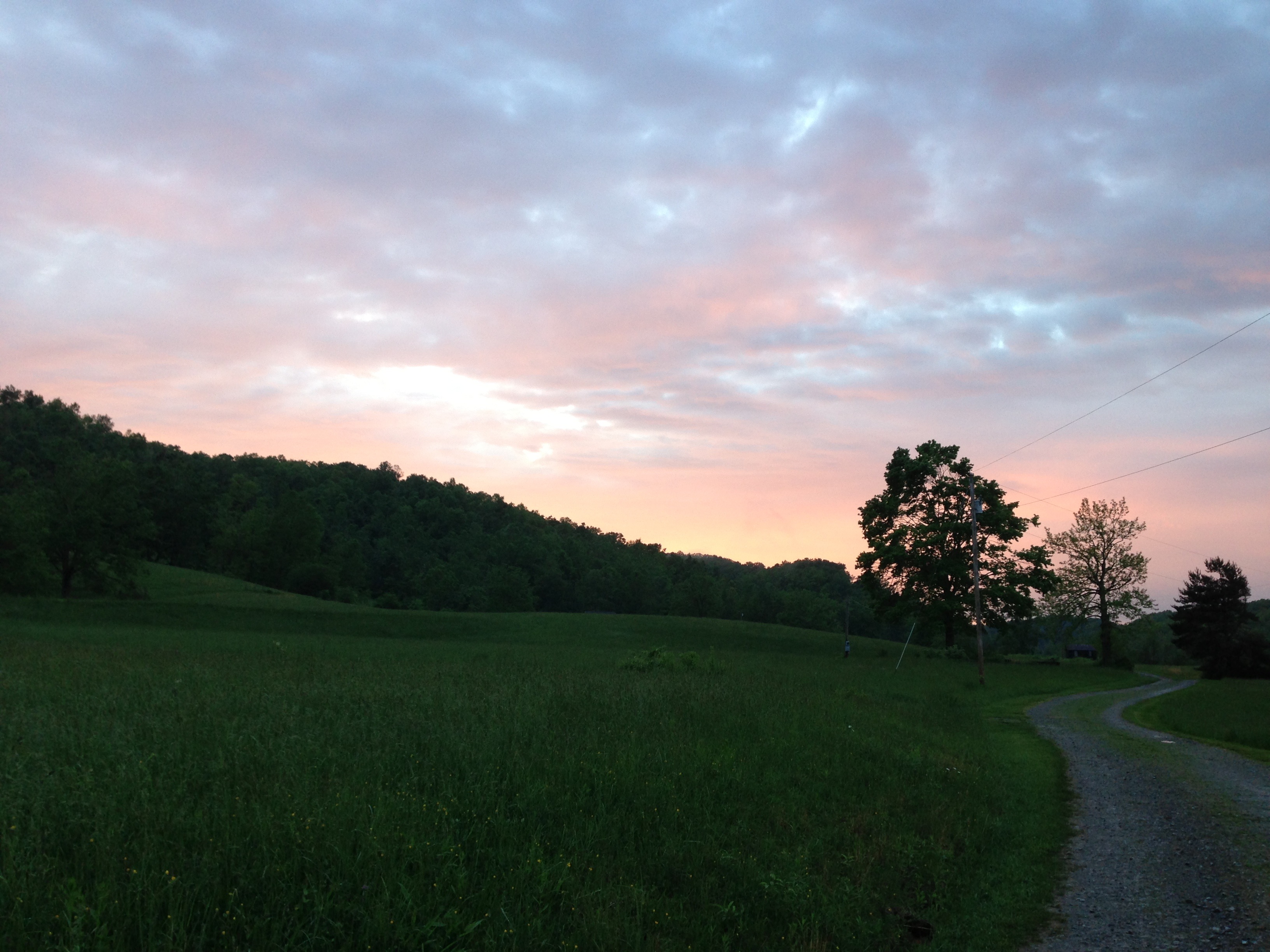
Evening light
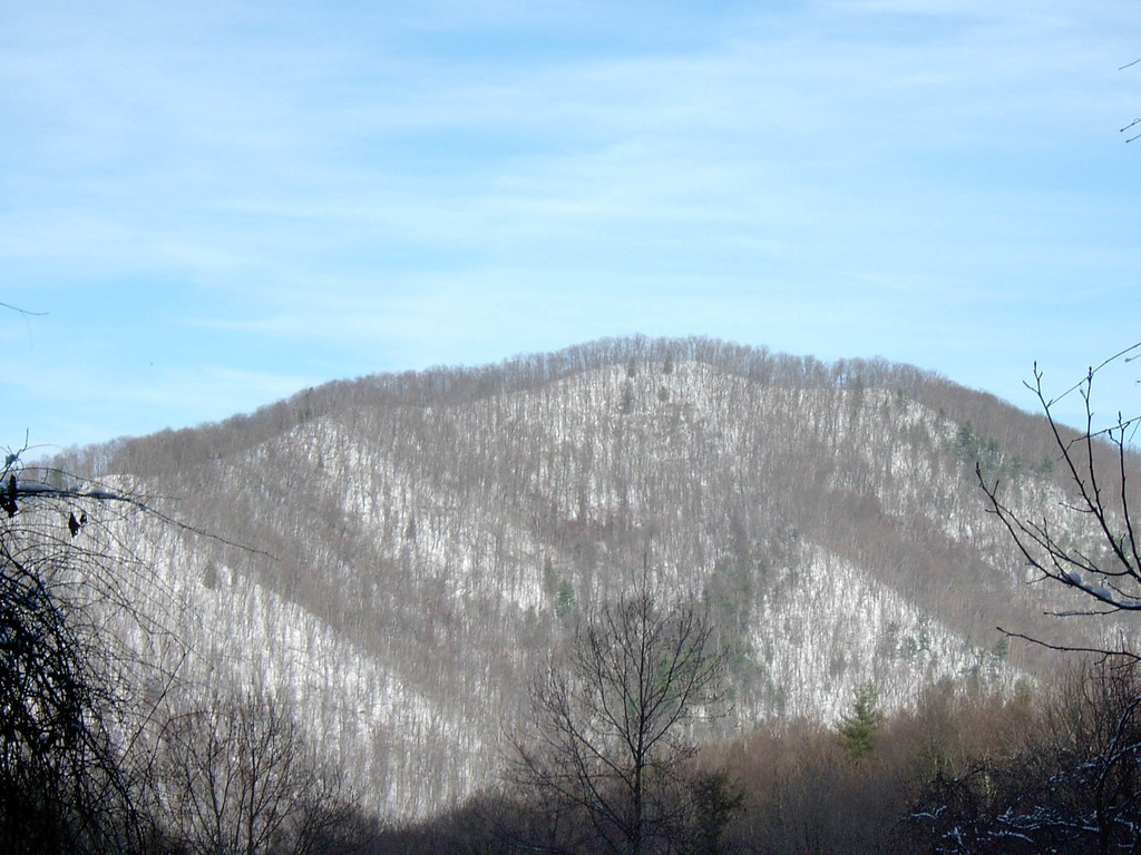
Mountain Ridge Image 1 12-16-2003 Photo
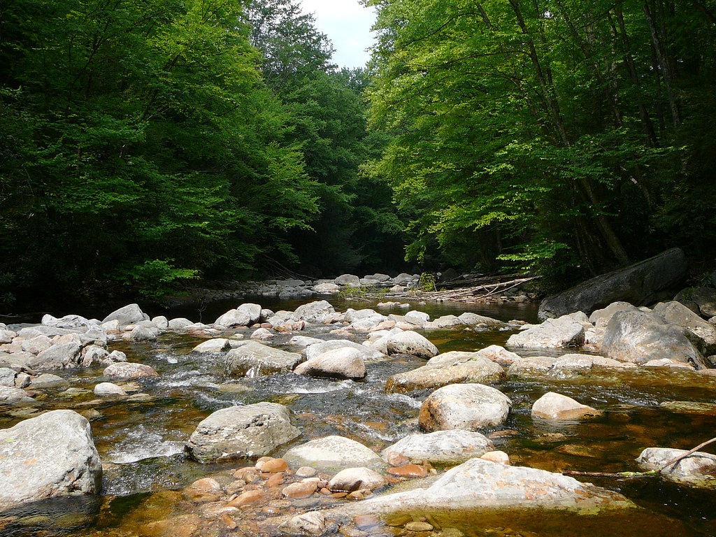
Arden Rocks
Arden Rocks
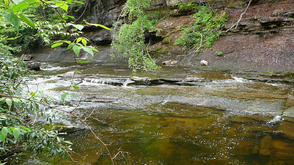
Otter Creek
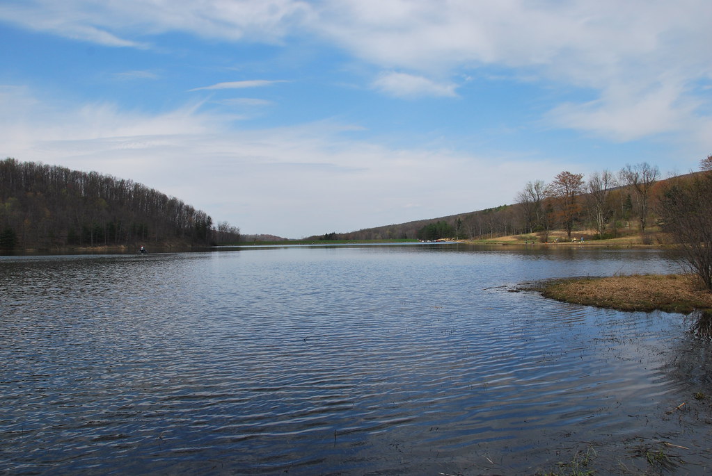
Teter Creek Lake
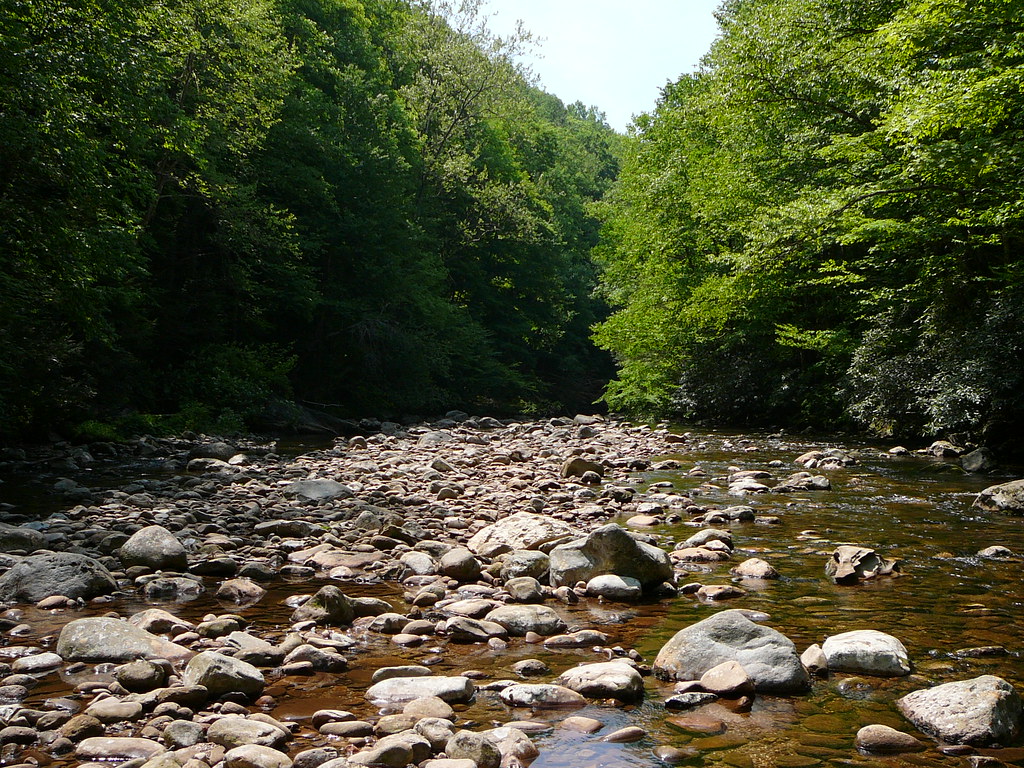
Otter Creek
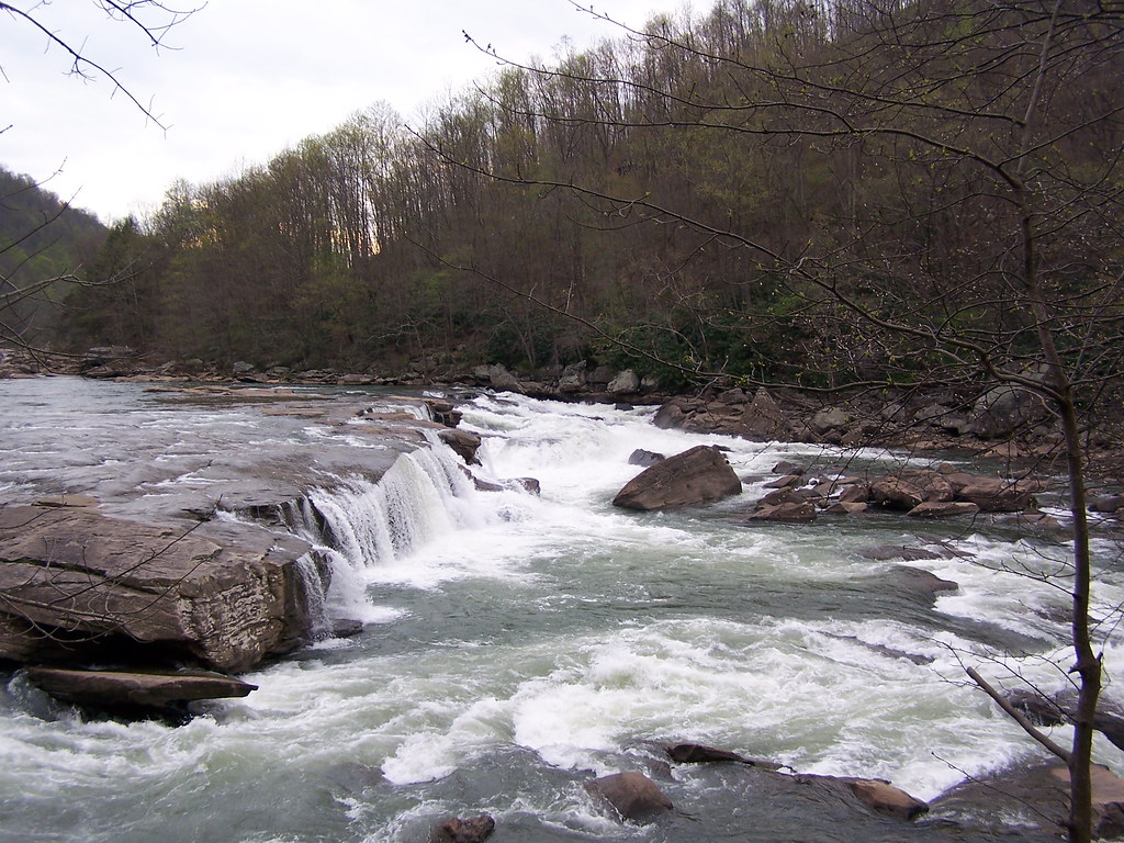
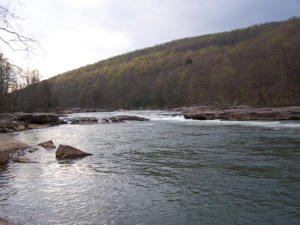
Shavers Fork at Corrick's Ford
Arden Rocks
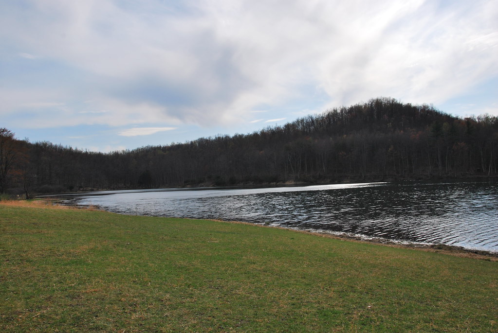
Teter Creek Lake
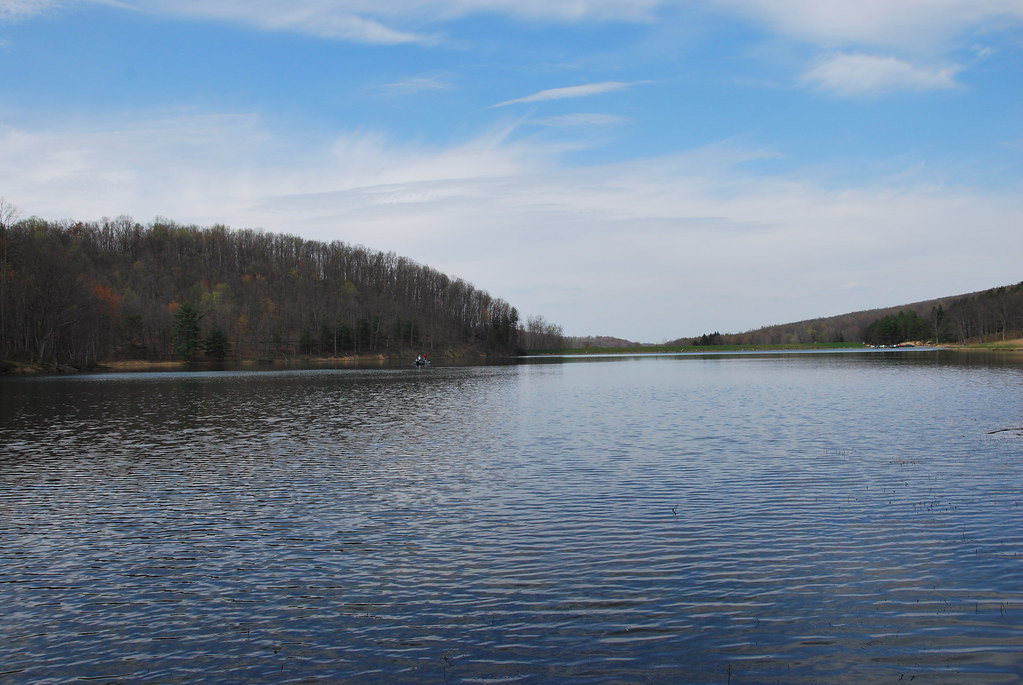
Teter Creek Lake
Shavers Fork at Corrick's Ford
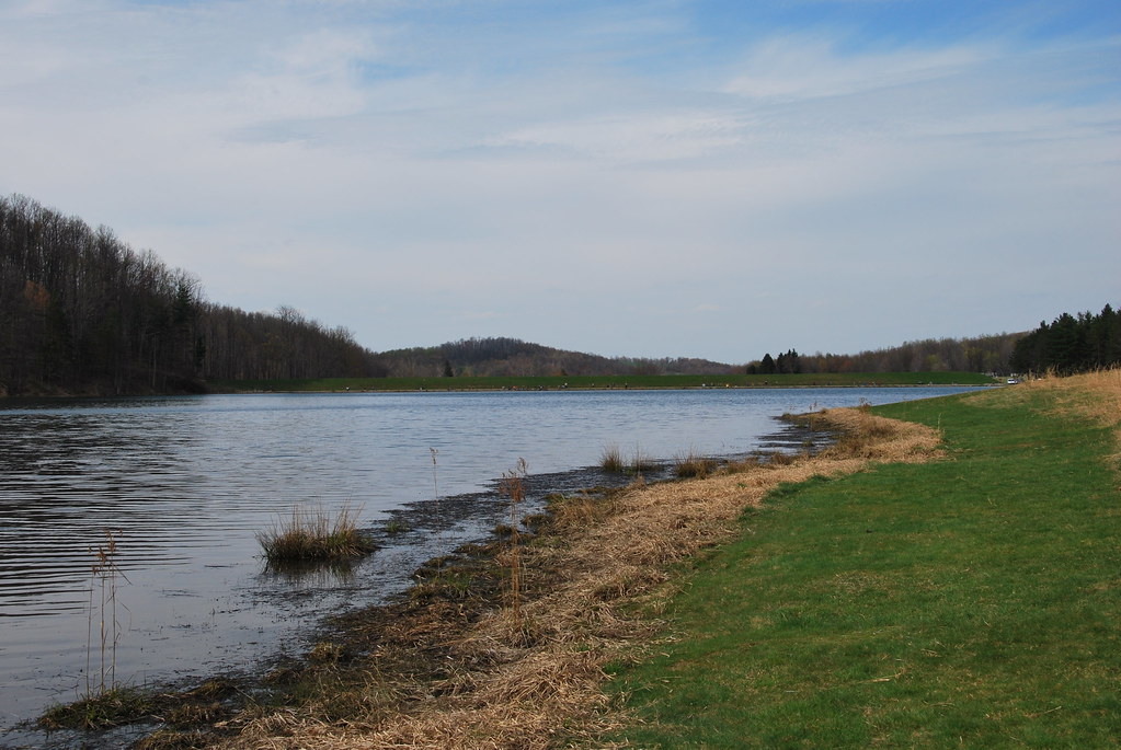
Teter Creek Lake
Arden Rocks
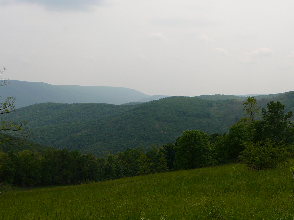
Sunny afternoon over the Leading Creek Valley.
Topographic Map of Laurel Mountain, Clover, WV, USA
Find elevation by address:

Places near Laurel Mountain, Clover, WV, USA:
Pleasure Valley Rd, Belington, WV, USA
6576 Parsons Rd
883 Teter Creek
663 Teter Creek
Montrose
Salt Lick Road
5074 Nestorville Rd
Co Rte 5/7, Philippi, WV, USA
New Interest
3917 Nestorville Rd
North
Vanoys Mill, Philippi, WV, USA
Coyote Run Road
South
Belington
573 4h Camp Rd
13 Archer Dr
42 Archer Dr
Barbour County
Silent Grove Rd, Philippi, WV, USA
Recent Searches:
- Elevation of Bydgoszcz, Poland
- Elevation of Bydgoszcz, Poland
- Elevation of Calais Dr, Del Mar, CA, USA
- Elevation of Placer Mine Ln, West Jordan, UT, USA
- Elevation of E 63rd St, New York, NY, USA
- Elevation of Elk City, OK, USA
- Elevation of Erika Dr, Windsor, CA, USA
- Elevation of Village Ln, Finleyville, PA, USA
- Elevation of 24 Oakland Rd #, Scotland, ON N0E 1R0, Canada
- Elevation of Deep Gap Farm Rd E, Mill Spring, NC, USA