Elevation of Latham St, Lodgepole, NE, USA
Location: United States > Nebraska > Cheyenne County > Lodgepole > Lodgepole >
Longitude: -102.64301
Latitude: 41.1485953
Elevation: 1166m / 3825feet
Barometric Pressure: 88KPa
Elevation Map:
Satellite Map:
Related Photos:

Red Rock Barn

We have a new escort : horses !

iAG_S13 (61)

Trains Across Nebraska
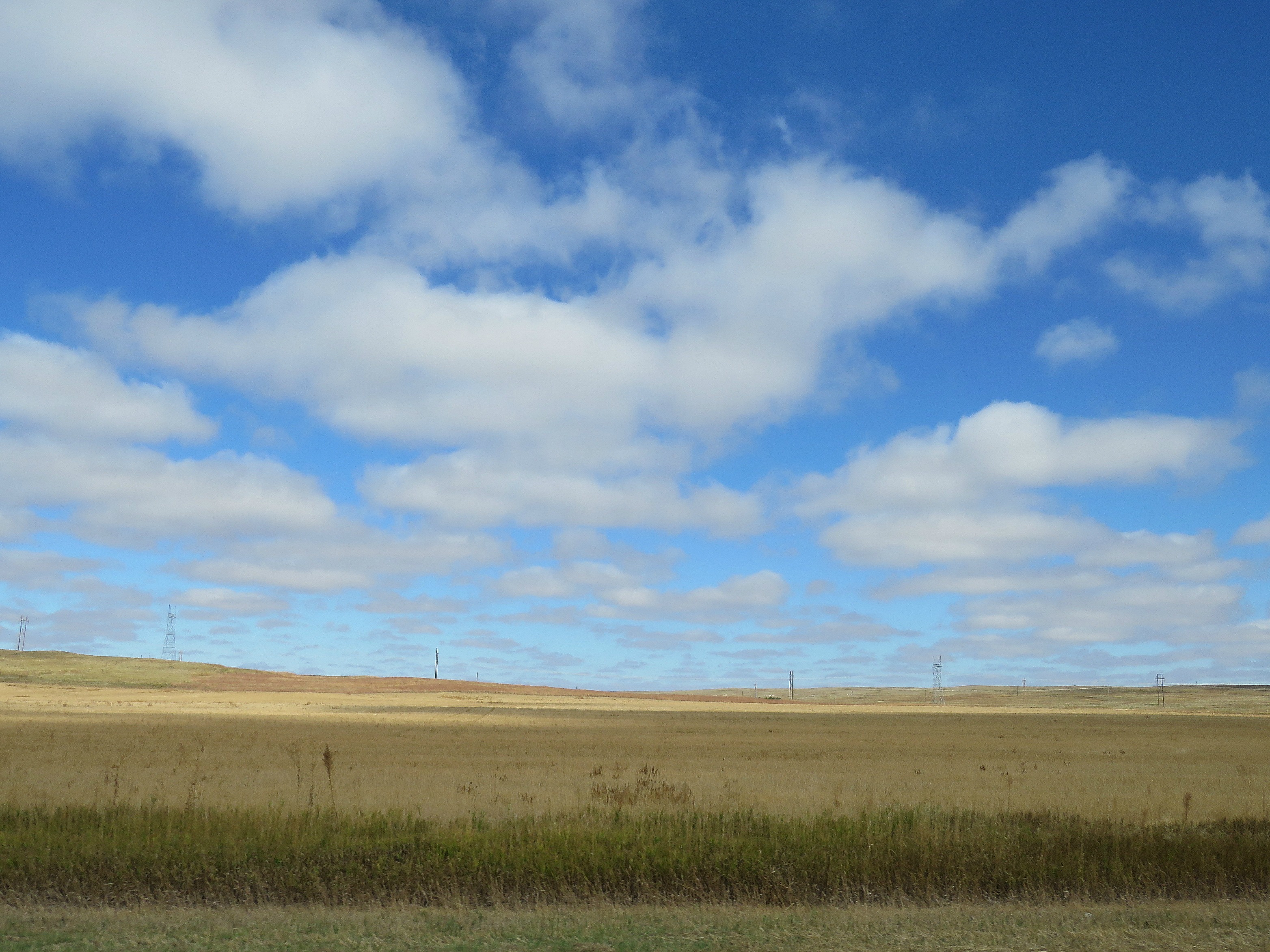
High plains Lincoln
Chappell, Nebraska

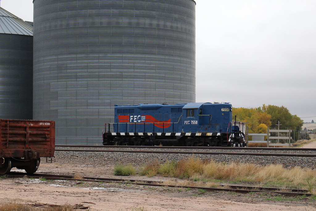
Elevator Switcher
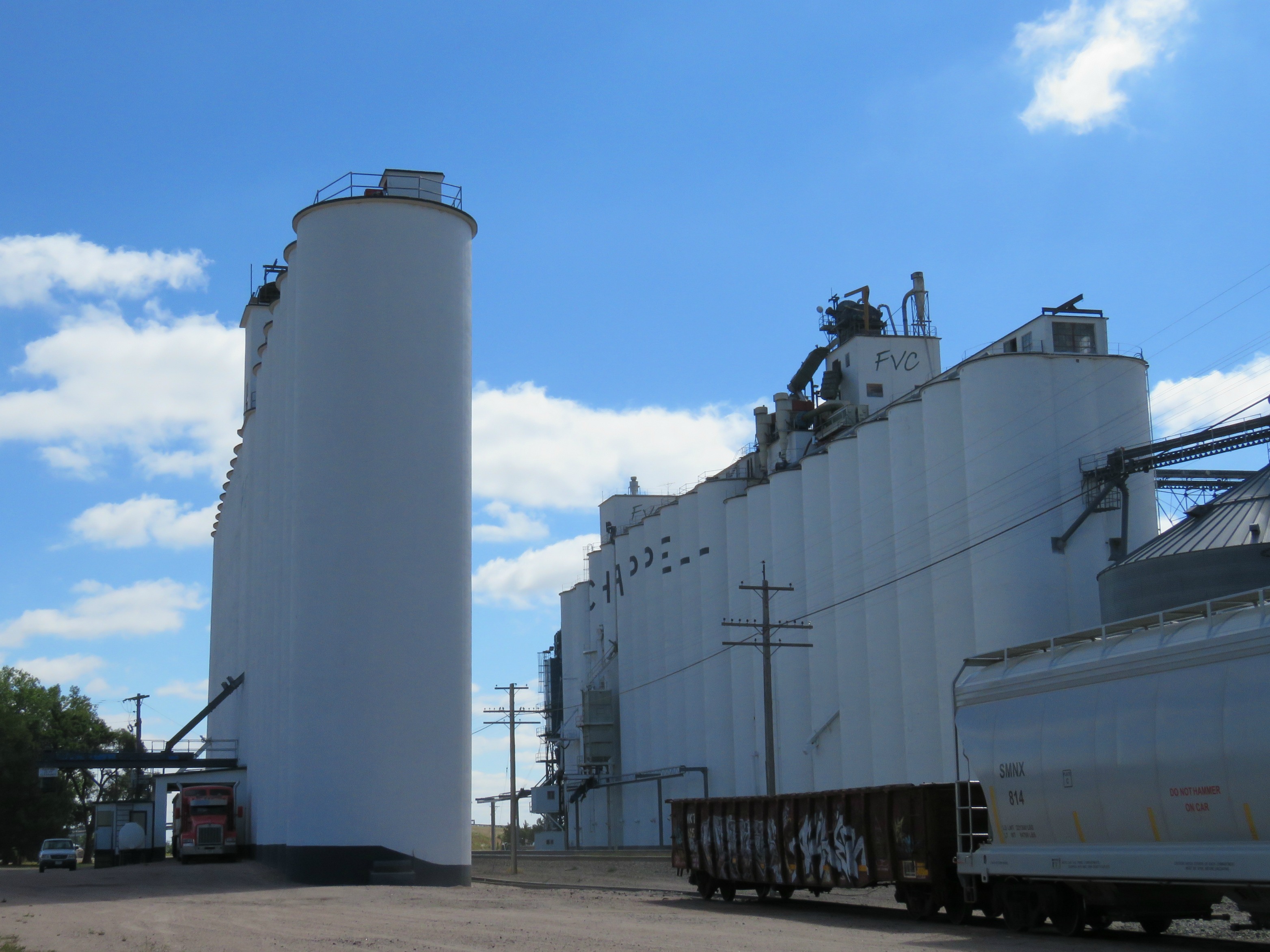
Elevators in Chappell
Topographic Map of Latham St, Lodgepole, NE, USA
Find elevation by address:

Places near Latham St, Lodgepole, NE, USA:
Lodgepole
Chappell
16575 3 Mi Rd
Chappell
4019 Rd 165
Sedgwick
Deuel County
Deuel County
Deuel County
Deuel County
Oshkosh
Julesburg
W 3rd St, Julesburg, CO, USA
Sedgwick County
15225 Us-385
Big Springs
Big Springs
Big Springs
Main St, Lewellen, NE, USA
Lewellen
Recent Searches:
- Elevation of Spaceport America, Co Rd A, Truth or Consequences, NM, USA
- Elevation of Warwick, RI, USA
- Elevation of Fern Rd, Whitmore, CA, USA
- Elevation of 62 Abbey St, Marshfield, MA, USA
- Elevation of Fernwood, Bradenton, FL, USA
- Elevation of Felindre, Swansea SA5 7LU, UK
- Elevation of Leyte Industrial Development Estate, Isabel, Leyte, Philippines
- Elevation of W Granada St, Tampa, FL, USA
- Elevation of Pykes Down, Ivybridge PL21 0BY, UK
- Elevation of Jalan Senandin, Lutong, Miri, Sarawak, Malaysia