Elevation of Chappell, NE, USA
Location: United States > Nebraska > Deuel County >
Longitude: -102.50685
Latitude: 41.1771596
Elevation: 1195m / 3921feet
Barometric Pressure: 88KPa
Elevation Map:
Satellite Map:
Related Photos:

Trains Across Nebraska
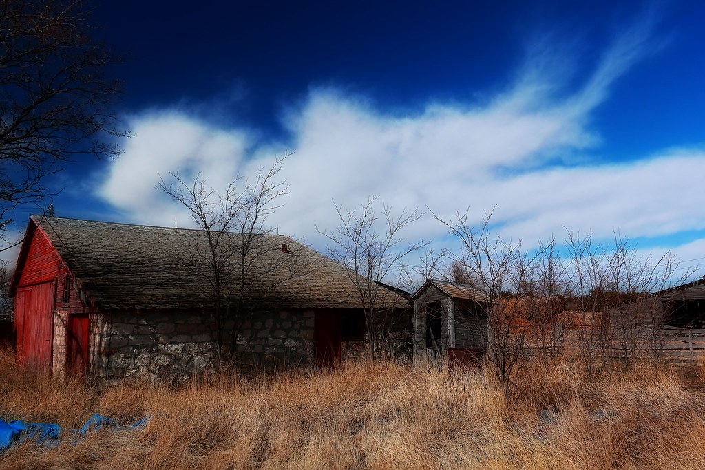
Red Rock Barn

We have a new escort : horses !

iAG_S13 (61)
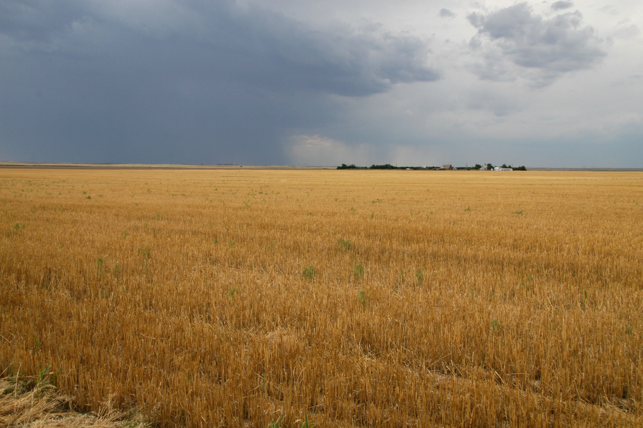
After Harvest

Lodgepole, Nebraska
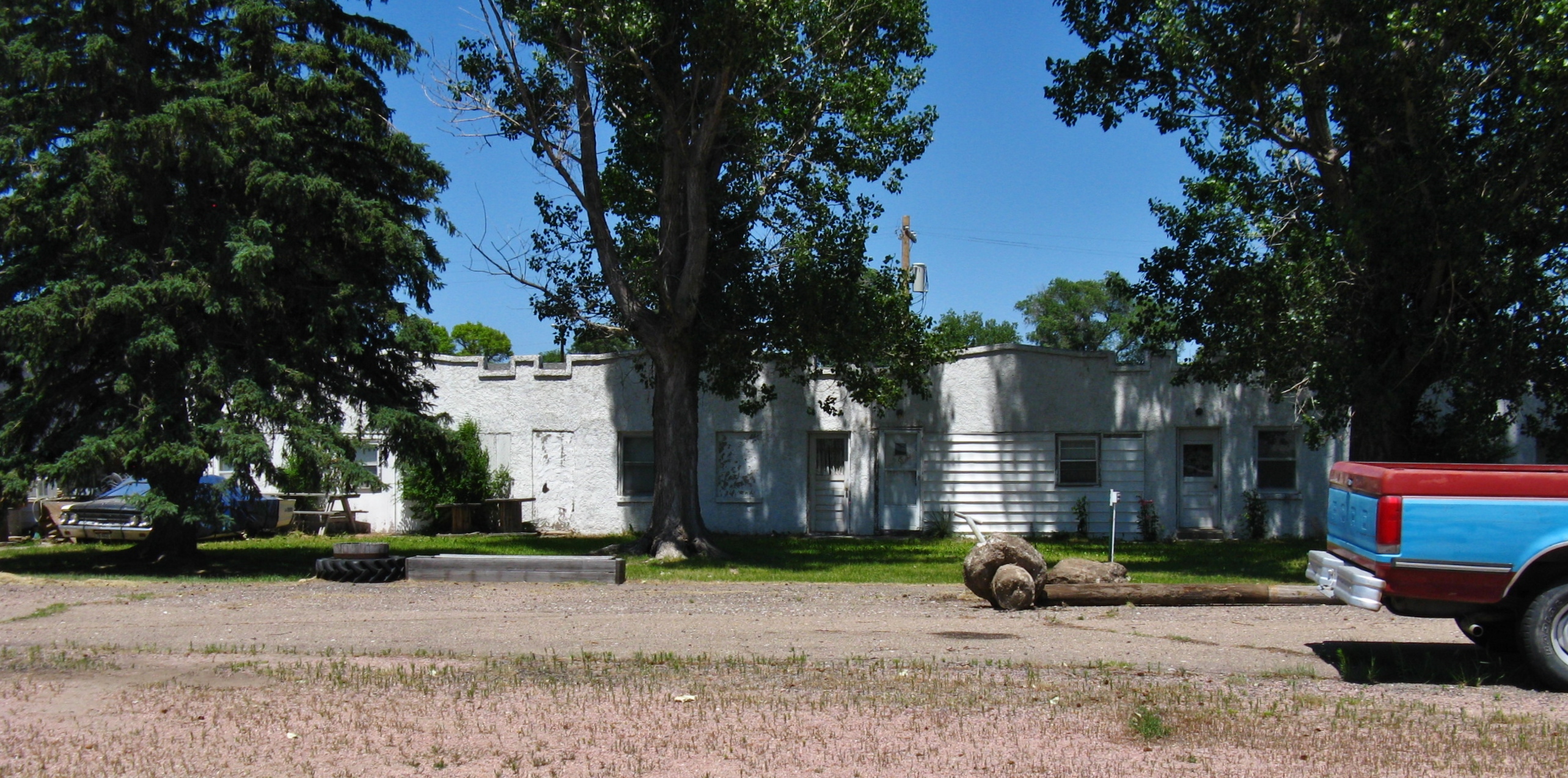
Lodgepole, Nebraska

Lodgepole, Nebraska
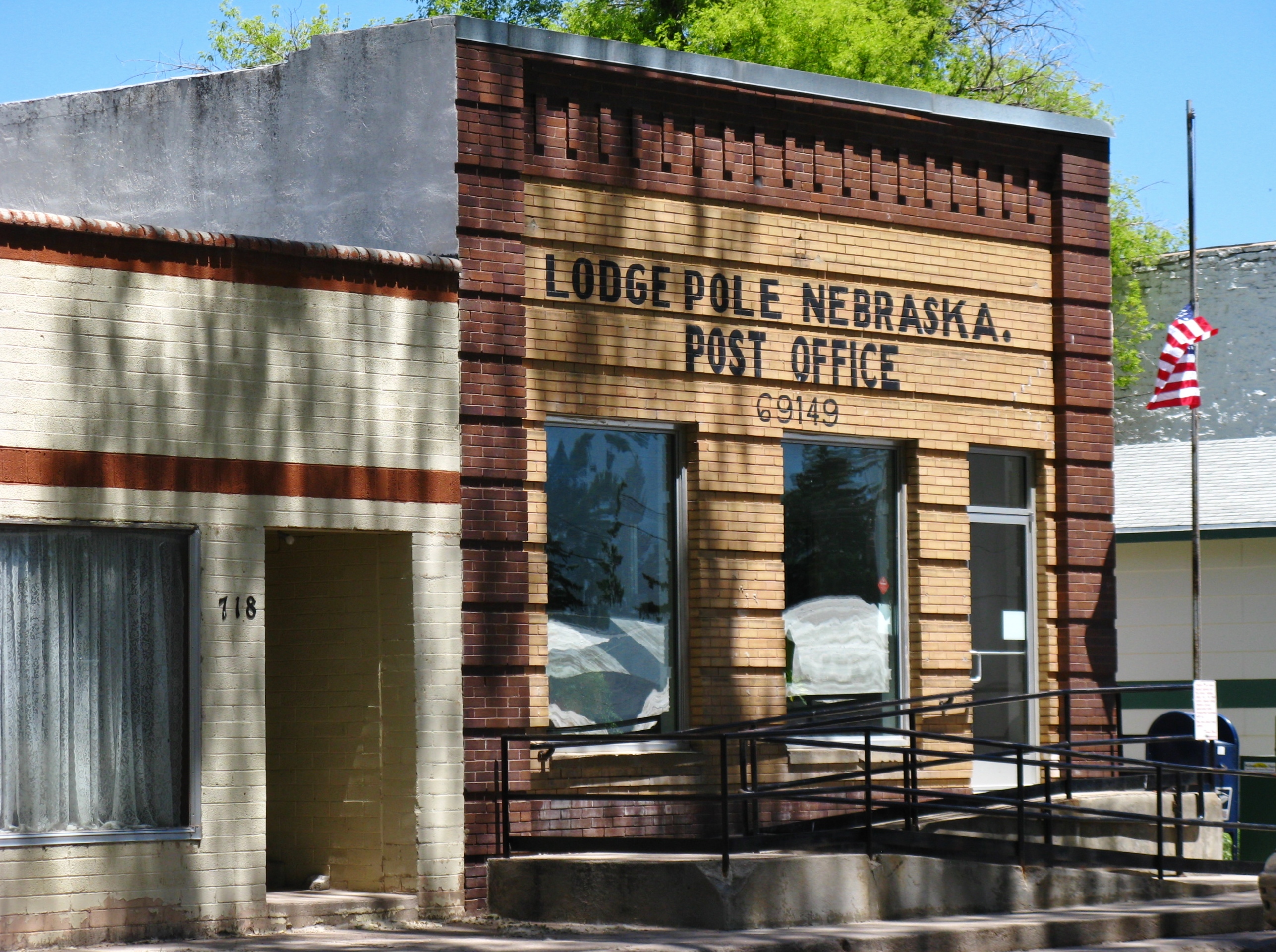
Lodgepole, Nebraska
Lodgepole, Nebraska
Topographic Map of Chappell, NE, USA
Find elevation by address:

Places in Chappell, NE, USA:
Places near Chappell, NE, USA:
16575 3 Mi Rd
Chappell
4019 Rd 165
Lodgepole
428 Latham St
Deuel County
Deuel County
Deuel County
Deuel County
Sedgwick
Oshkosh
Julesburg
W 3rd St, Julesburg, CO, USA
15225 Us-385
Sedgwick County
Main St, Lewellen, NE, USA
Lewellen
Big Springs
Big Springs
Big Springs
Recent Searches:
- Elevation of Corso Fratelli Cairoli, 35, Macerata MC, Italy
- Elevation of Tallevast Rd, Sarasota, FL, USA
- Elevation of 4th St E, Sonoma, CA, USA
- Elevation of Black Hollow Rd, Pennsdale, PA, USA
- Elevation of Oakland Ave, Williamsport, PA, USA
- Elevation of Pedrógão Grande, Portugal
- Elevation of Klee Dr, Martinsburg, WV, USA
- Elevation of Via Roma, Pieranica CR, Italy
- Elevation of Tavkvetili Mountain, Georgia
- Elevation of Hartfords Bluff Cir, Mt Pleasant, SC, USA