Elevation of 3 Mi Rd, Chappell, NE, USA
Location: United States > Nebraska > Deuel County > Chappell >
Longitude: -102.46901
Latitude: 41.1351681
Elevation: 1188m / 3898feet
Barometric Pressure: 88KPa
Elevation Map:
Satellite Map:
Related Photos:

We have a new escort : horses !
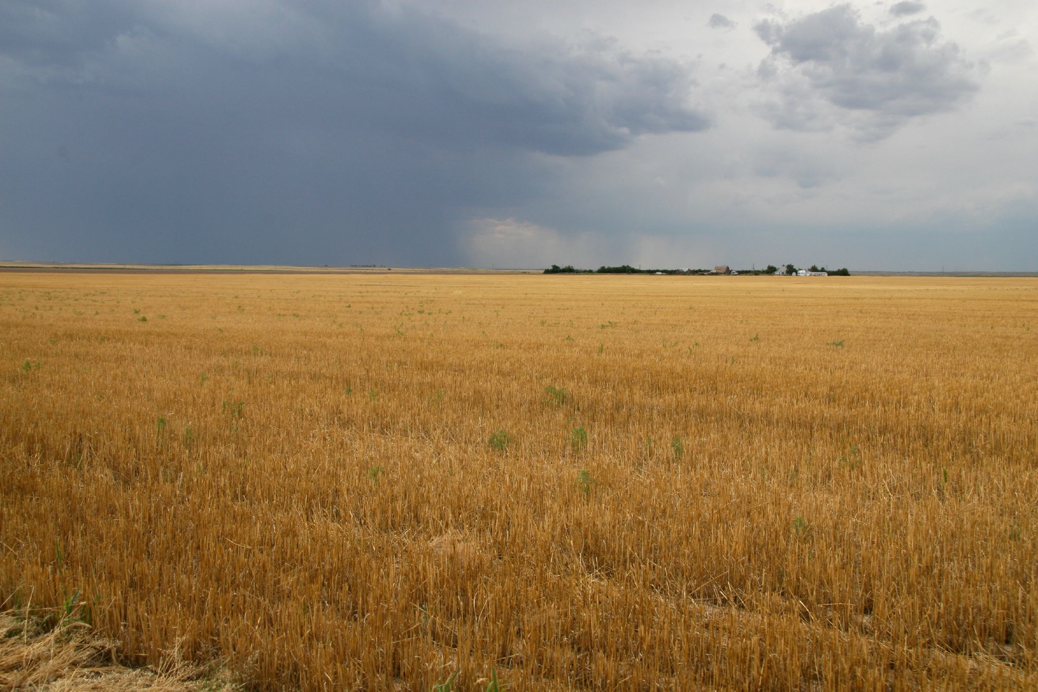
After Harvest

iAG_S13 (61)
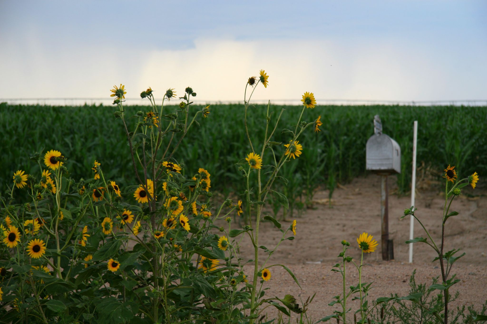
Ditch full of sunflowers

Trains Across Nebraska

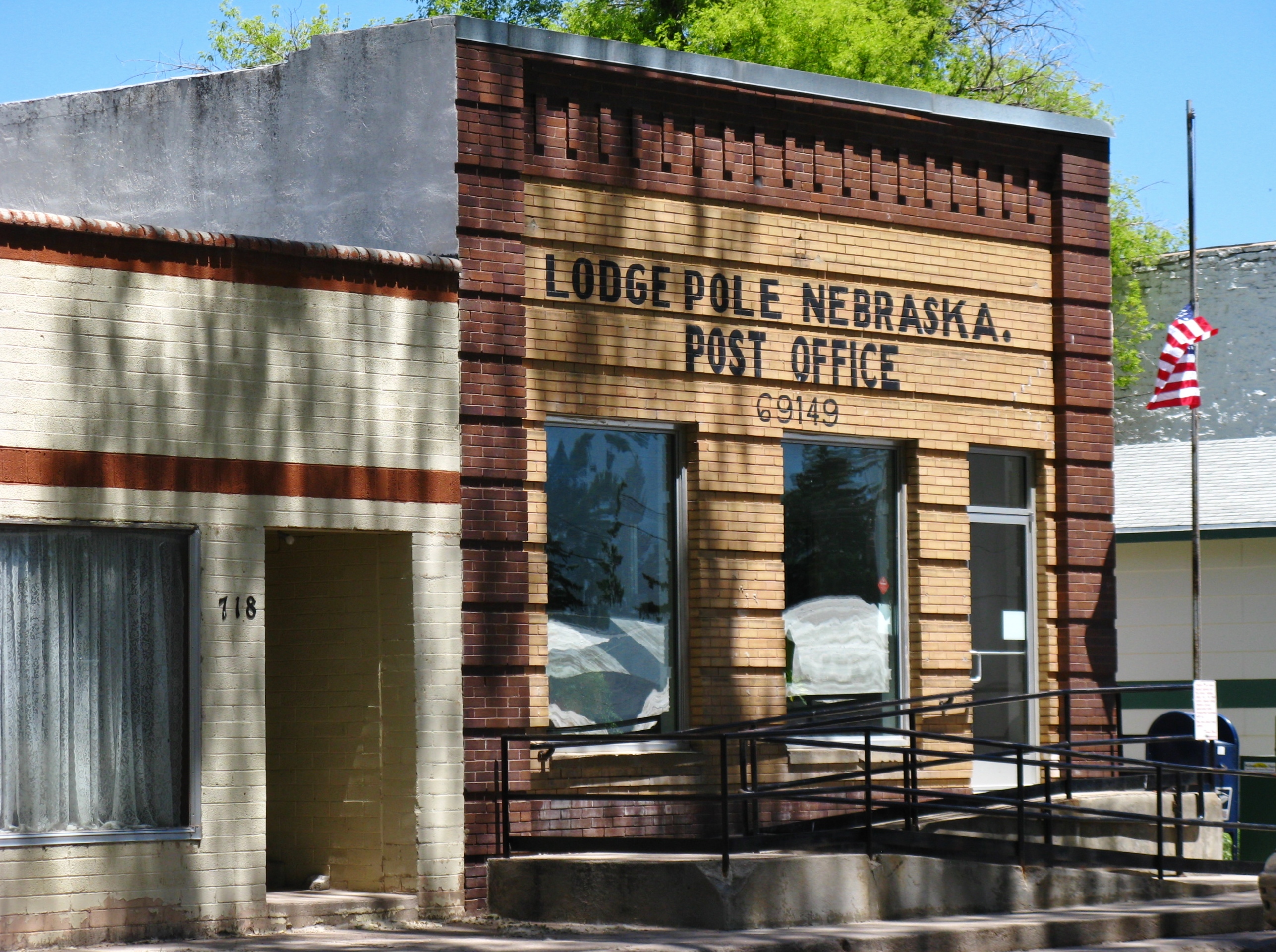
Lodgepole, Nebraska
Lodgepole, Nebraska

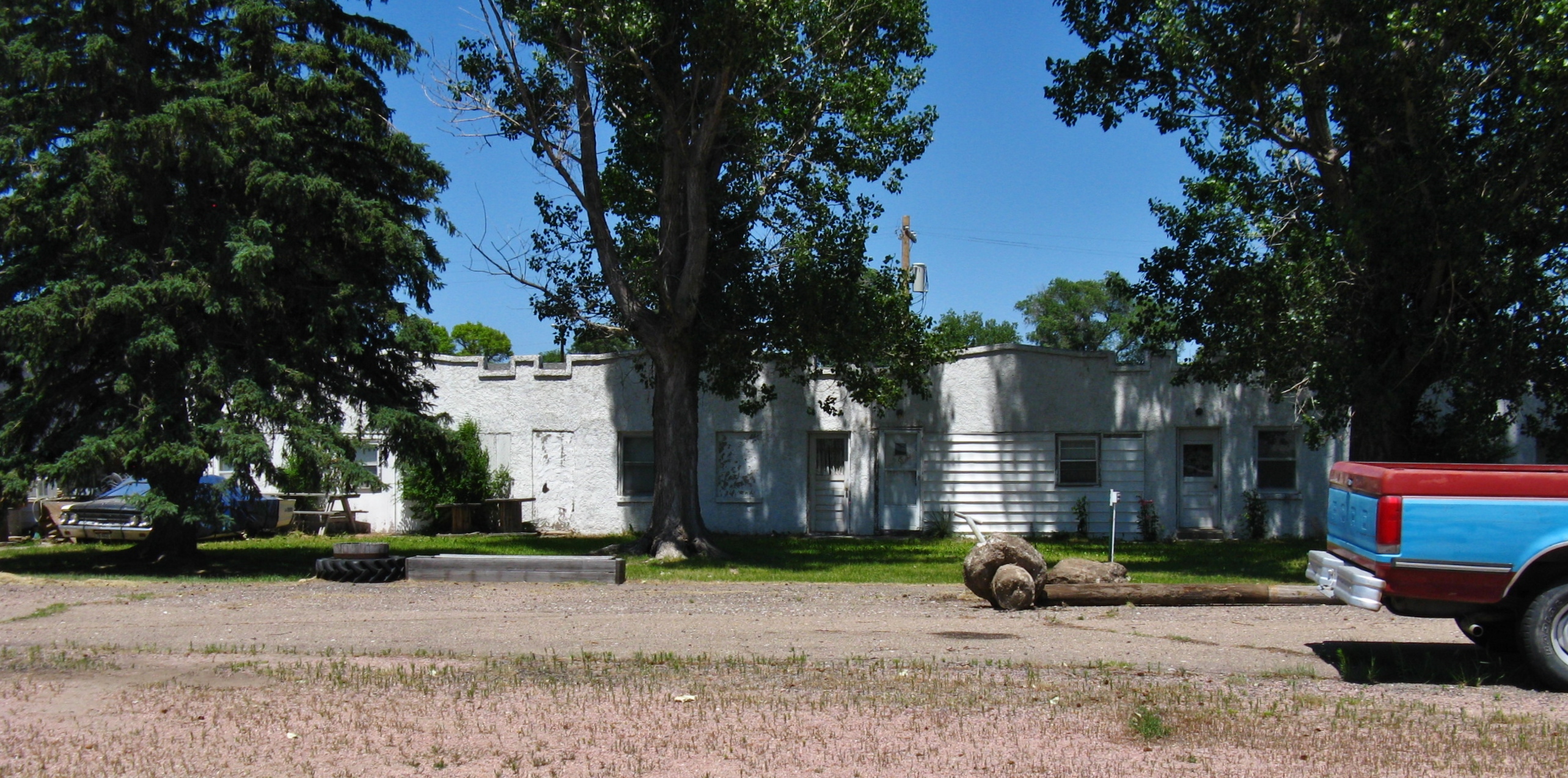
Lodgepole, Nebraska
Lodgepole, Nebraska
Lodgepole, Nebraska
Topographic Map of 3 Mi Rd, Chappell, NE, USA
Find elevation by address:

Places near 3 Mi Rd, Chappell, NE, USA:
Chappell
Chappell
4019 Rd 165
Deuel County
Deuel County
Deuel County
Deuel County
Lodgepole
428 Latham St
Sedgwick
Julesburg
W 3rd St, Julesburg, CO, USA
15225 Us-385
Oshkosh
Sedgwick County
Big Springs
Big Springs
Big Springs
Main St, Lewellen, NE, USA
Lewellen
Recent Searches:
- Elevation of Fern Rd, Whitmore, CA, USA
- Elevation of 62 Abbey St, Marshfield, MA, USA
- Elevation of Fernwood, Bradenton, FL, USA
- Elevation of Felindre, Swansea SA5 7LU, UK
- Elevation of Leyte Industrial Development Estate, Isabel, Leyte, Philippines
- Elevation of W Granada St, Tampa, FL, USA
- Elevation of Pykes Down, Ivybridge PL21 0BY, UK
- Elevation of Jalan Senandin, Lutong, Miri, Sarawak, Malaysia
- Elevation of Bilohirs'k
- Elevation of 30 Oak Lawn Dr, Barkhamsted, CT, USA