Elevation of Larch Rd, Harrison, MI, USA
Location: United States > Michigan > Harrison >
Longitude: -84.793831
Latitude: 43.9948925
Elevation: 360m / 1181feet
Barometric Pressure: 97KPa
Elevation Map:
Satellite Map:
Related Photos:

Clare, Michigan Welcome Center Lighthouse

morning barn

mornings alone

on frozen pond

light touch

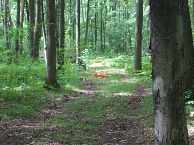
Forest Stream

At the Cabin up North!
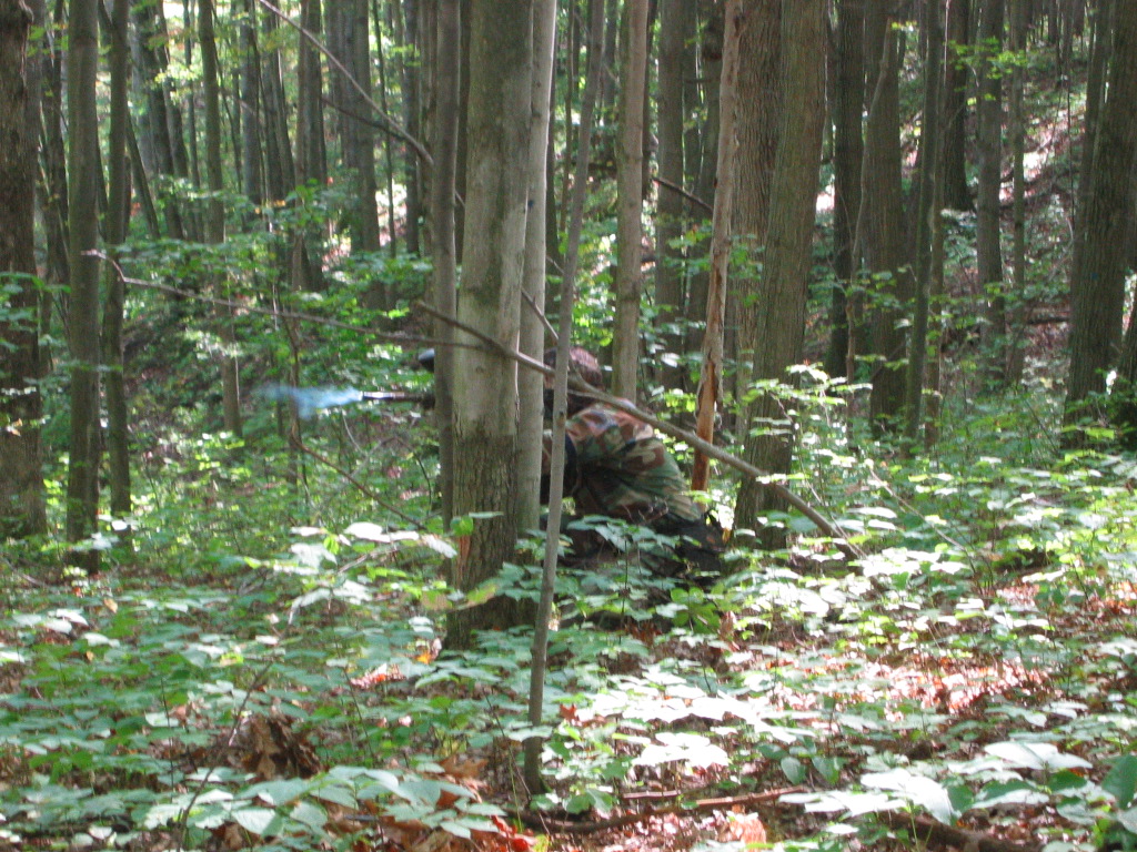
JJ's Muzzle Flare
Fallen Flag
Topographic Map of Larch Rd, Harrison, MI, USA
Find elevation by address:

Places near Larch Rd, Harrison, MI, USA:
Harrison
N Clare Ave, Harrison, MI, USA
Clare County
4820 E Arnold Lake Rd
5615 S Clare Ave
Frost Township
Grant Township
Sheridan Township
1386 E Maple Rd
Clare
10015 E Beaverton Rd
3420 Pinehurst Dr
3420 Pinehurst Dr
Bard Rd, Gladwin, MI, USA
9758 N Leaton Rd
5276 Pole Line Rd
221 Johnson Rd
5150 Plank Rd
8613 Pine Rd
8613 Pine Rd
Recent Searches:
- Elevation of Estates Loop, Priest River, ID, USA
- Elevation of Woodland Oak Pl, Thousand Oaks, CA, USA
- Elevation of Brownsdale Rd, Renfrew, PA, USA
- Elevation of Corcoran Ln, Suffolk, VA, USA
- Elevation of Mamala II, Sariaya, Quezon, Philippines
- Elevation of Sarangdanda, Nepal
- Elevation of 7 Waterfall Way, Tomball, TX, USA
- Elevation of SW 57th Ave, Portland, OR, USA
- Elevation of Crocker Dr, Vacaville, CA, USA
- Elevation of Pu Ngaol Community Meeting Hall, HWHM+3X7, Krong Saen Monourom, Cambodia