Elevation of N Leaton Rd, Clare, MI, USA
Location: United States > Michigan > Isabella County > Wise Township >
Longitude: -84.707346
Latitude: 43.7848643
Elevation: 237m / 778feet
Barometric Pressure: 99KPa
Elevation Map:
Satellite Map:
Related Photos:

North view From Rosebush Cemetery
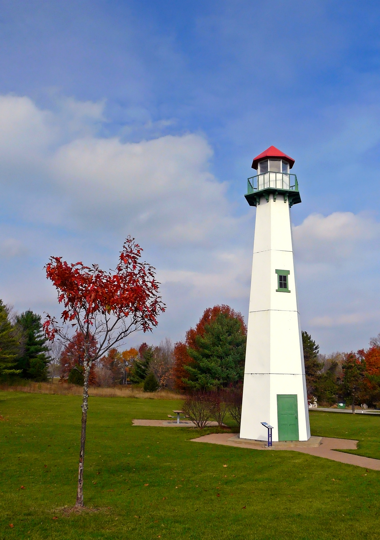
Clare, Michigan Welcome Center Lighthouse

Cupola View

wwdo-clare-6-12-14-tl-1-cropscreen-lowres

wwdo-clare-6-12-14-tl-2-cropscreen-lowres

Desert Landscape
Clare, Jul 29, 2008
Clare, Jul 29, 2008
around Artic Circle
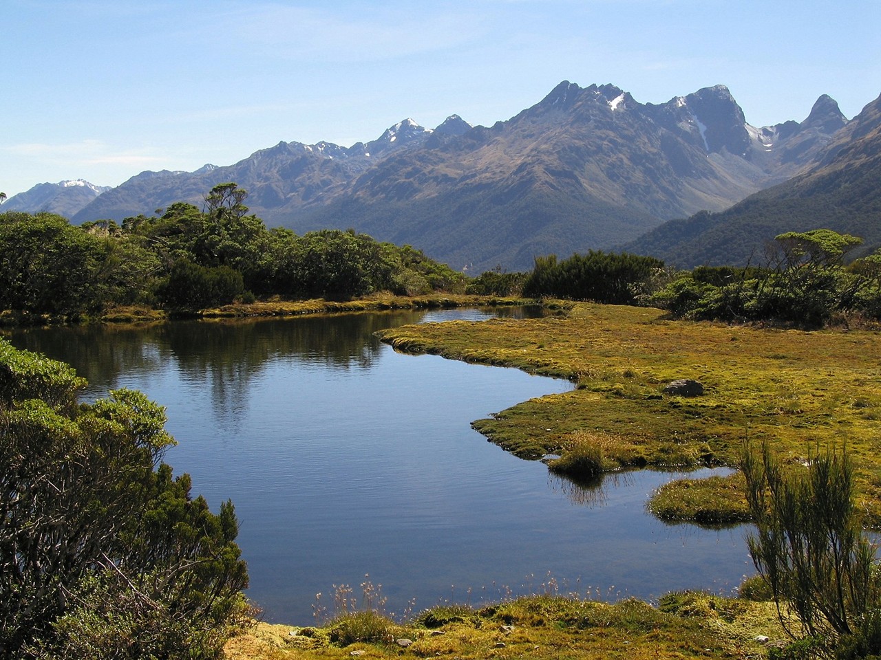
Key%20Summit

Herrick Park Border

Cows_in_green_field_-_nullamunjie_olive_grove03
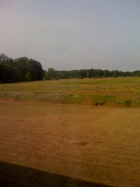
Clare, Jul 29, 2008
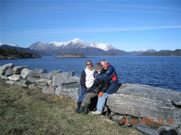
Solveig Oivind and Konny at a camping place above their cabin

Jarman's Cattail Party Mud Bog, May 2015

Jarman's Cattail Party Mud Bog, May 2015
Topographic Map of N Leaton Rd, Clare, MI, USA
Find elevation by address:

Places near N Leaton Rd, Clare, MI, USA:
Wise Township
Clare
Sheridan Township
Grant Township
10015 E Beaverton Rd
1386 E Maple Rd
115 Monroe St
Coleman
981 E Railway St
5615 S Clare Ave
Coleman, MI, USA
Warren Township
459 S Lincoln Rd
5150 Plank Rd
Beaverton Township
5965 W School Rd
Mt Pleasant, MI, USA
503 E Broadway St
Mount Pleasant
809 Canal St
Recent Searches:
- Elevation of Dog Leg Dr, Minden, NV, USA
- Elevation of Dog Leg Dr, Minden, NV, USA
- Elevation of Kambingan Sa Pansol Atbp., Purok 7 Pansol, Candaba, Pampanga, Philippines
- Elevation of Pinewood Dr, New Bern, NC, USA
- Elevation of Mountain View, CA, USA
- Elevation of Foligno, Province of Perugia, Italy
- Elevation of Blauwestad, Netherlands
- Elevation of Bella Terra Blvd, Estero, FL, USA
- Elevation of Estates Loop, Priest River, ID, USA
- Elevation of Woodland Oak Pl, Thousand Oaks, CA, USA