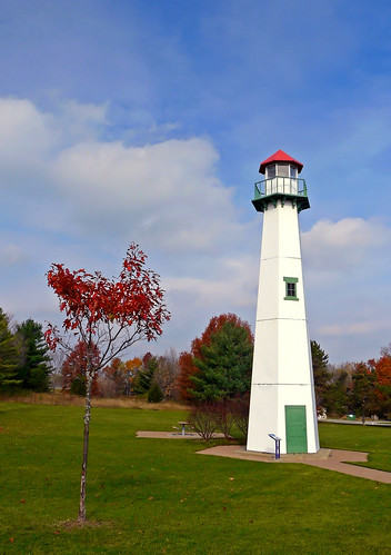
Elevation of E Beaverton Rd, Clare, MI, USA
Location: United States > Michigan > Clare County > Sheridan Township >
Longitude: -84.646085
Latitude: 43.8734811
Elevation: -10000m / -32808feet
Barometric Pressure: 295KPa
Related Photos:
Topographic Map of E Beaverton Rd, Clare, MI, USA
Find elevation by address:

Places near E Beaverton Rd, Clare, MI, USA:
Sheridan Township
5150 Plank Rd
Beaverton Township
Grant Township
9758 N Leaton Rd
Wise Township
3535 Mcculloch Rd
5615 S Clare Ave
Grout Township
115 Monroe St
Coleman
Clare
981 E Railway St
Coleman, MI, USA
Warren Township
Ross St, Beaverton, MI, USA
Beaverton
2871 W Curtis Rd
Sage Township
1386 E Maple Rd
Recent Searches:
- Elevation of Felindre, Swansea SA5 7LU, UK
- Elevation of Leyte Industrial Development Estate, Isabel, Leyte, Philippines
- Elevation of W Granada St, Tampa, FL, USA
- Elevation of Pykes Down, Ivybridge PL21 0BY, UK
- Elevation of Jalan Senandin, Lutong, Miri, Sarawak, Malaysia
- Elevation of Bilohirs'k
- Elevation of 30 Oak Lawn Dr, Barkhamsted, CT, USA
- Elevation of Luther Road, Luther Rd, Auburn, CA, USA
- Elevation of Unnamed Road, Respublika Severnaya Osetiya — Alaniya, Russia
- Elevation of Verkhny Fiagdon, North Ossetia–Alania Republic, Russia


