Elevation of Ladysmith, BC, Canada
Location: Canada > British Columbia > Cowichan Valley > Cowichan Valley G >
Longitude: -123.8161
Latitude: 48.99534
Elevation: 21m / 69feet
Barometric Pressure: 101KPa
Elevation Map:
Satellite Map:
Related Photos:
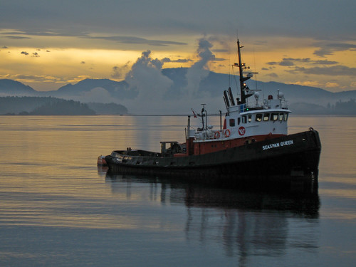
seaspan Queen

Favourite wildlife_ STewart_002_TNT11
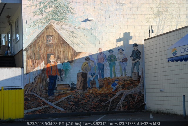
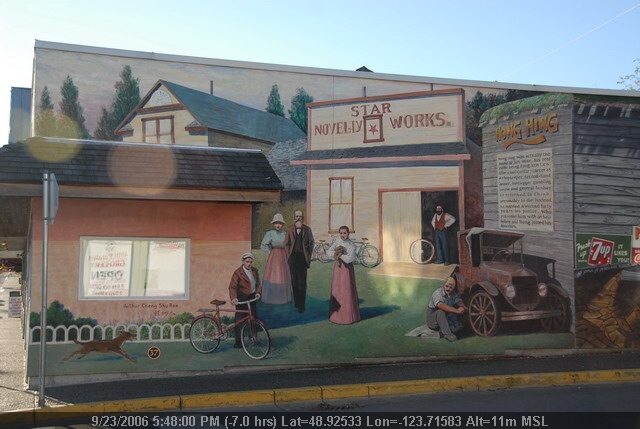
Chemainus (19).JPG
Chemainus beach
Chemainus (78).JPG

Chemainus (72).JPG
Chemainus (13).JPG
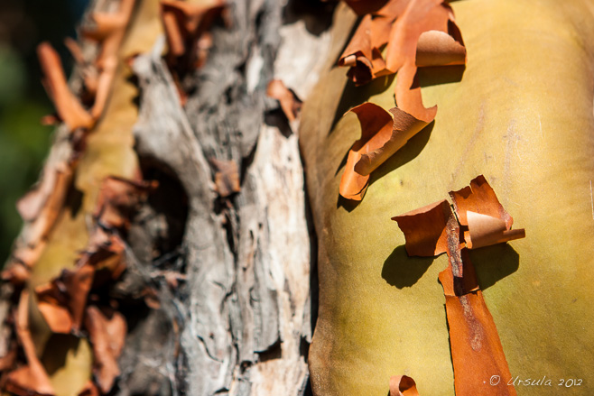
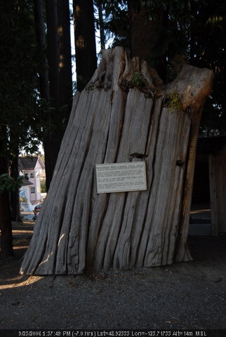
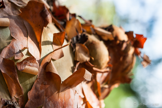
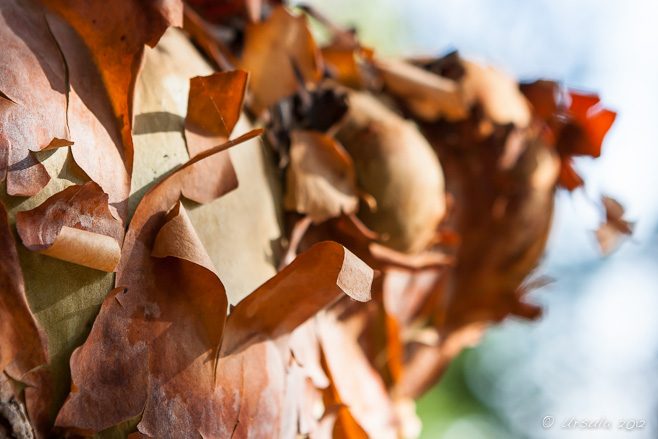
Natures Abstracts: Tree Bark 1762
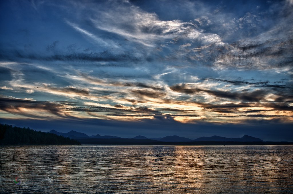
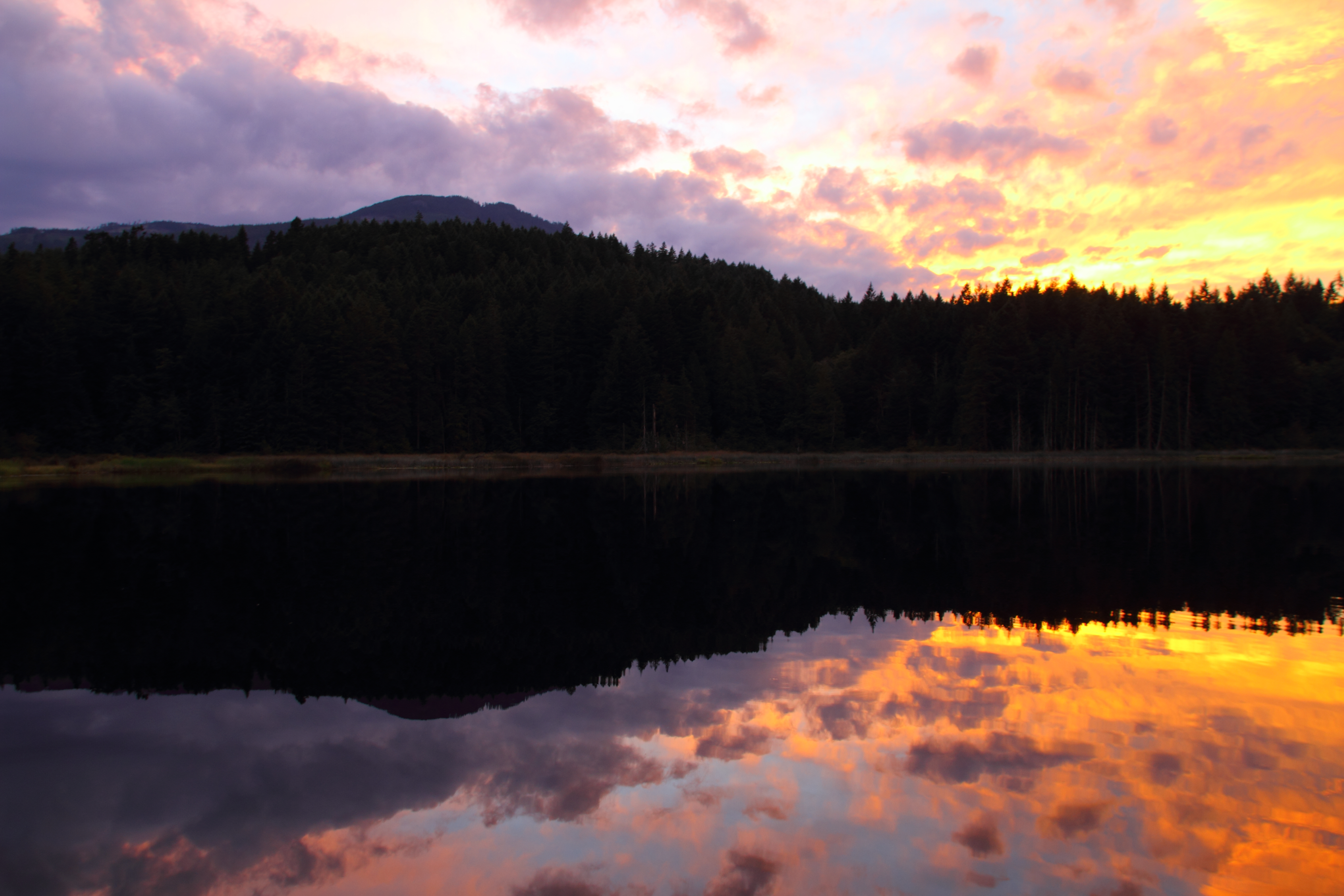
Thetis Island Sunset
Chemainus (25).JPG
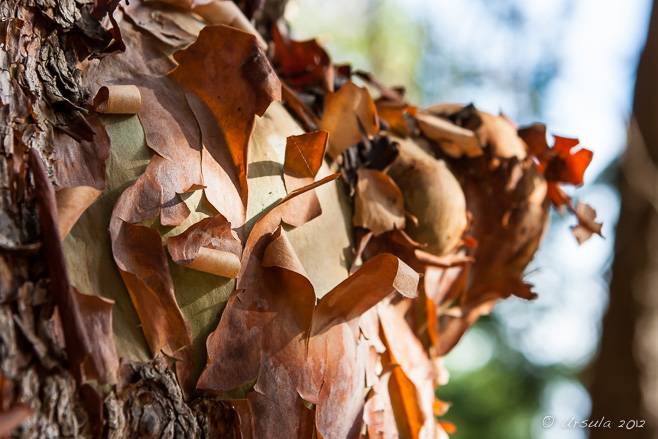
Natures Abstracts: Tree Bark 1756
Chemainus (53).JPG
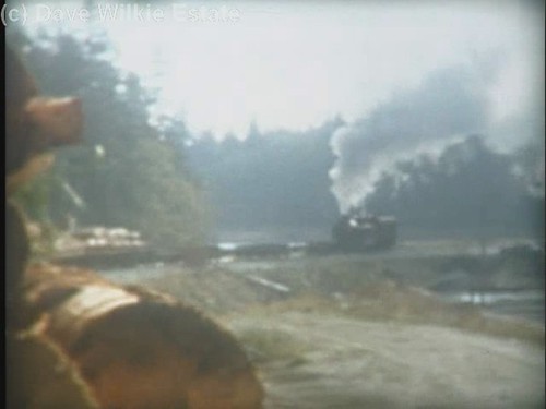
MacMillan Bloedel 1044 - trip to Chemainus Log Dump(c) - excerpt
Natures Abstracts: Tree Bark 1757

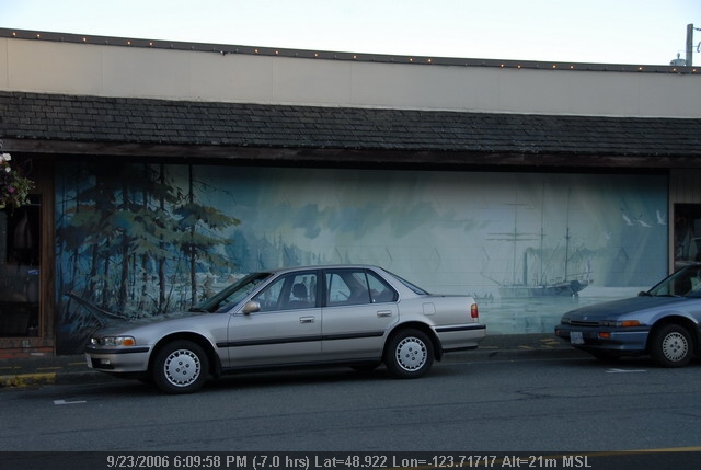
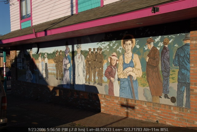
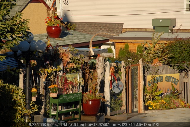
croft street
Natures Abstracts: Tree Bark 1758

Chemainus (42).JPG
Chemainus (58).JPG

Chemainus (65).JPG
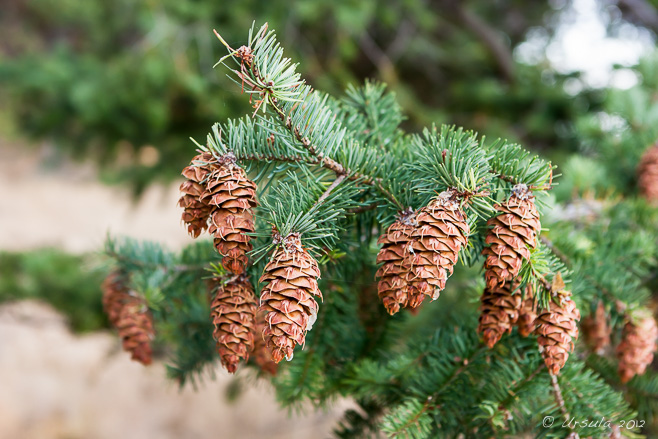
Pine Cones 1773
Chemainus (39).JPG
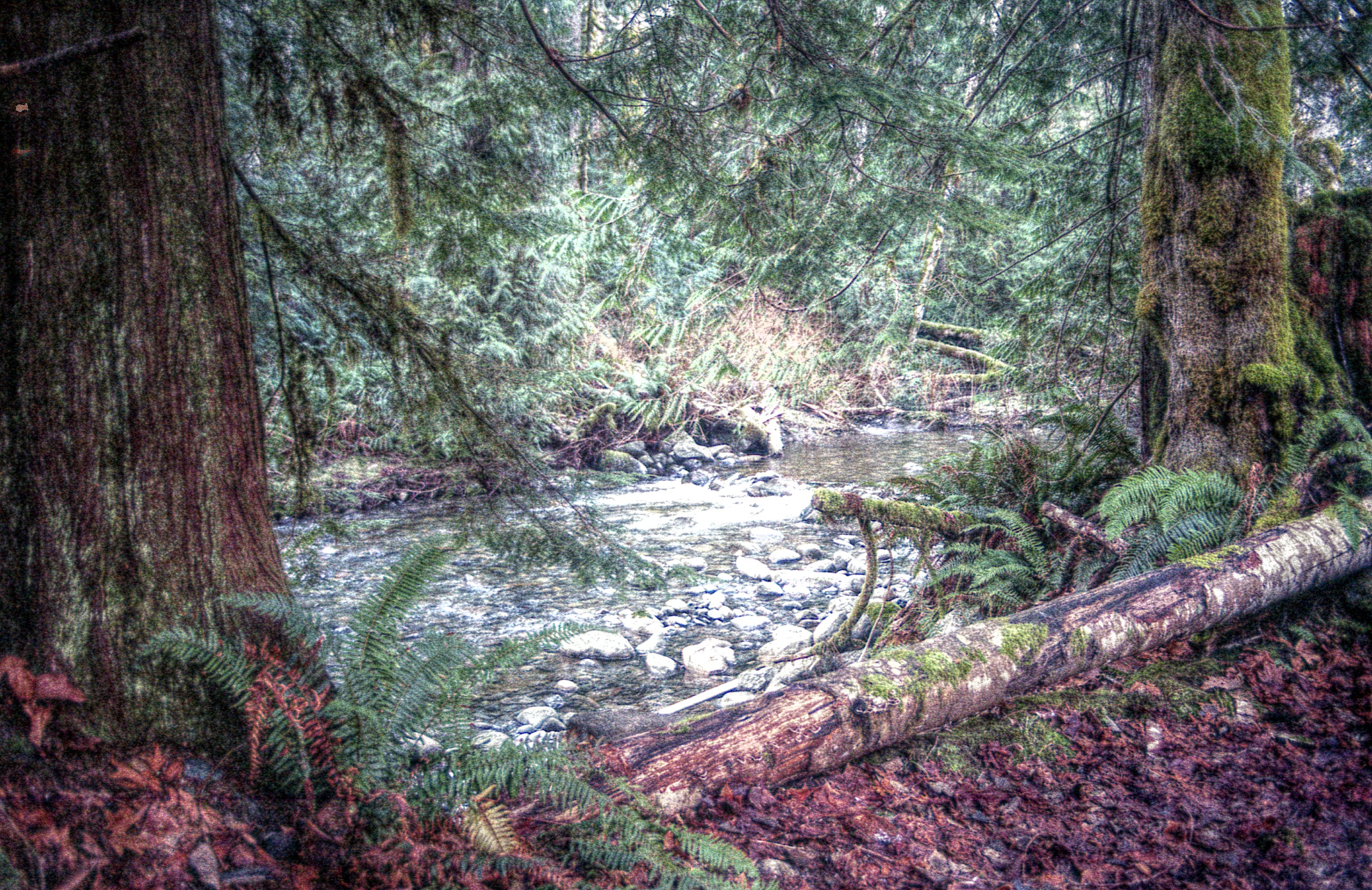
ALONG A STREAM
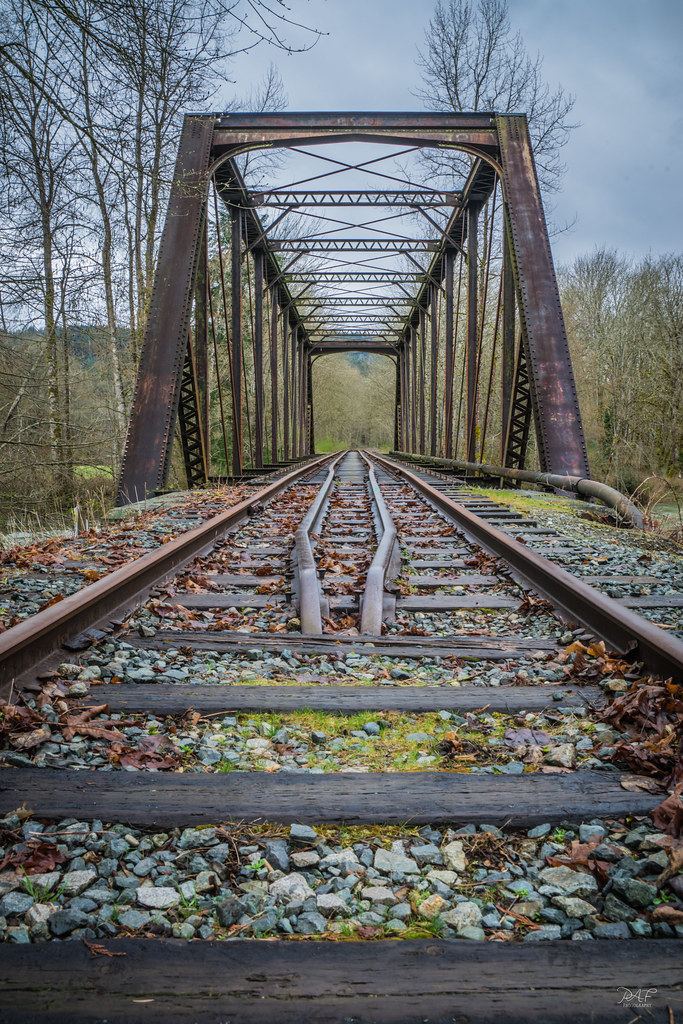
Abandoned railbridge
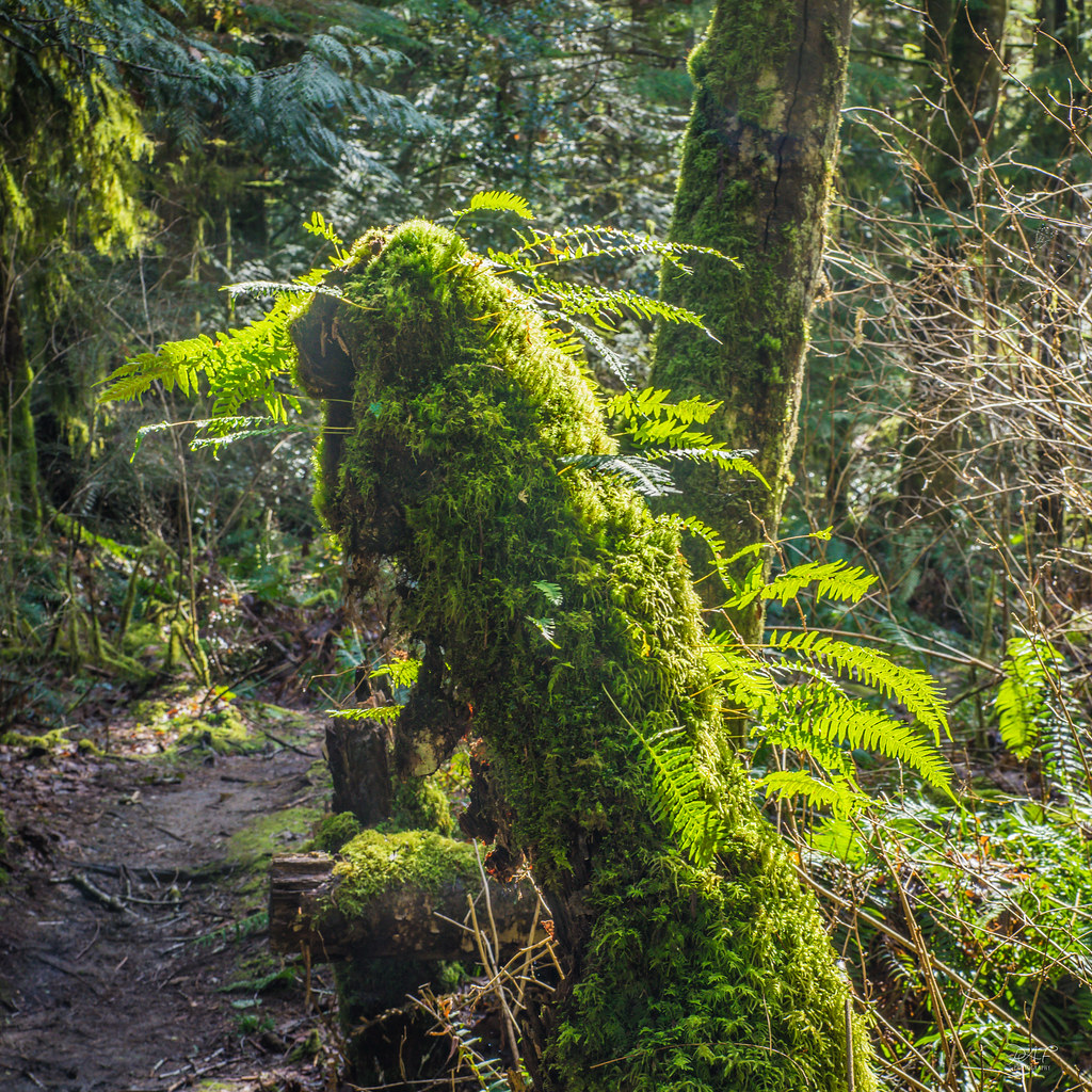
New growth from old
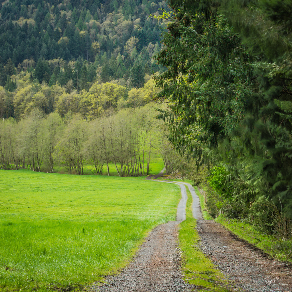
Country lane
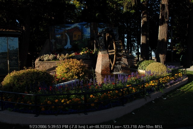
Roberts Memorial Park
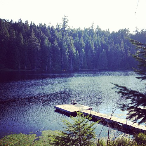
Still water
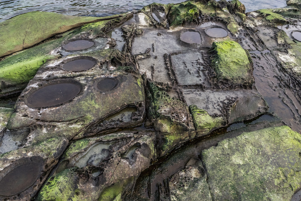
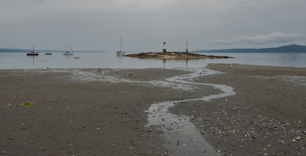
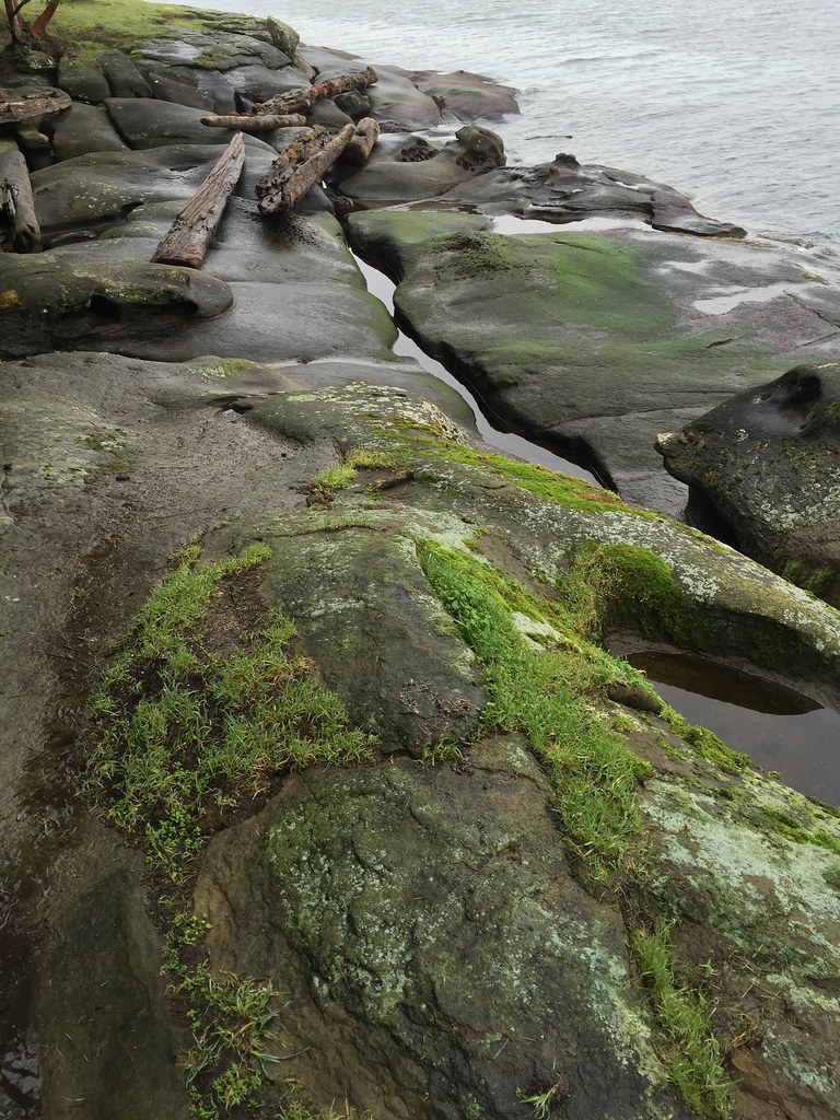
Sandstone beach
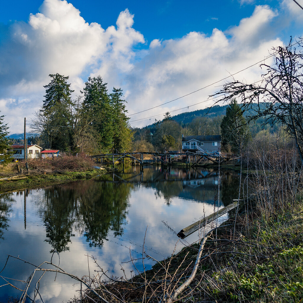
Bridge at the edge of the estuary

Forest for the trees
The reflecting pool
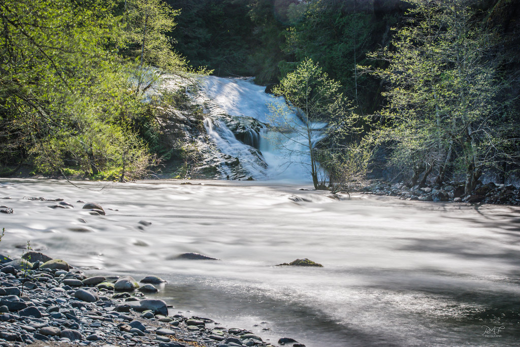
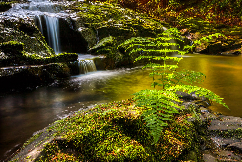
Banon Creek falls and the Chemainus River

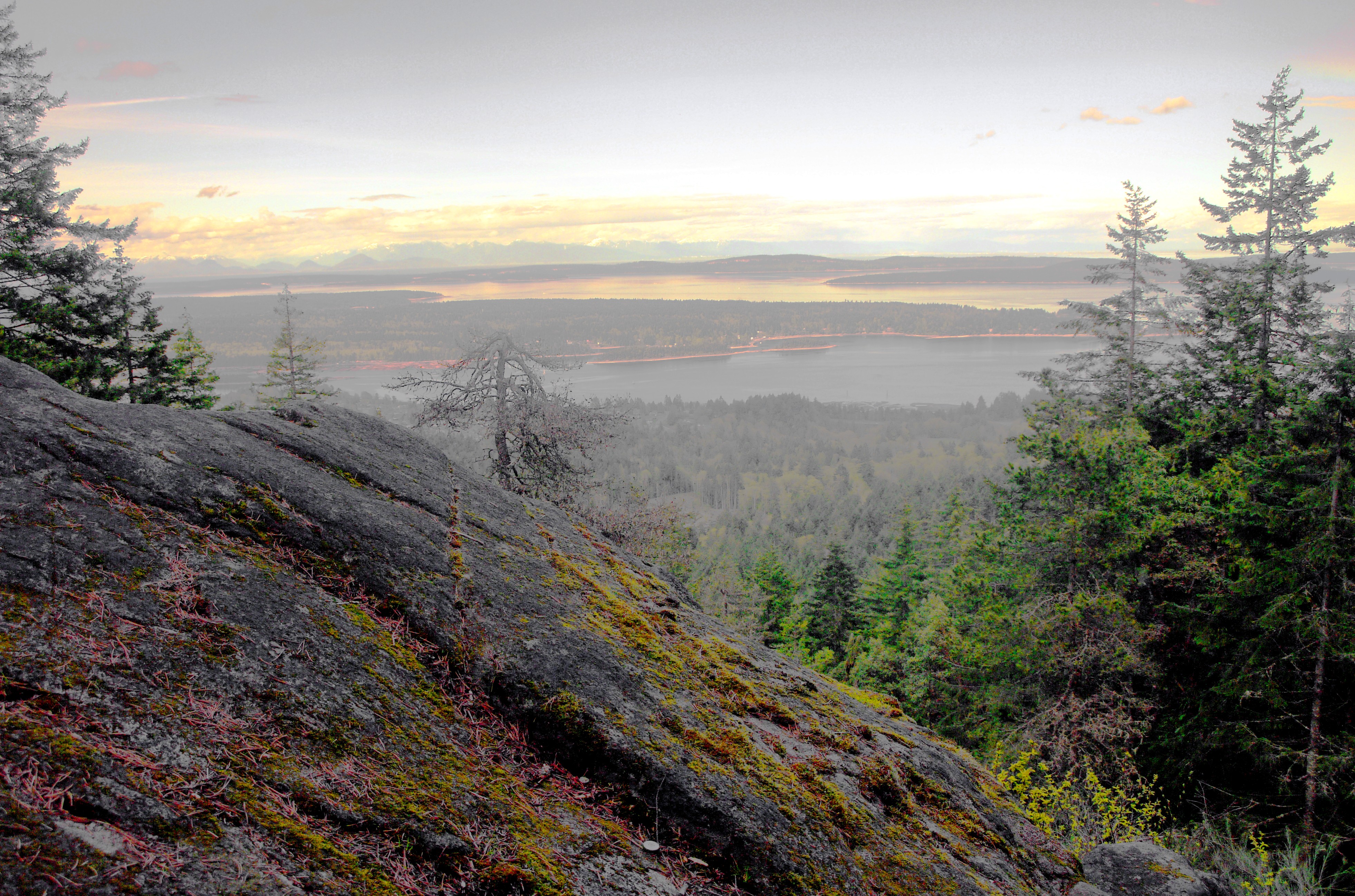
where we were
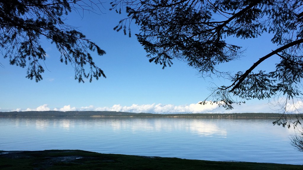
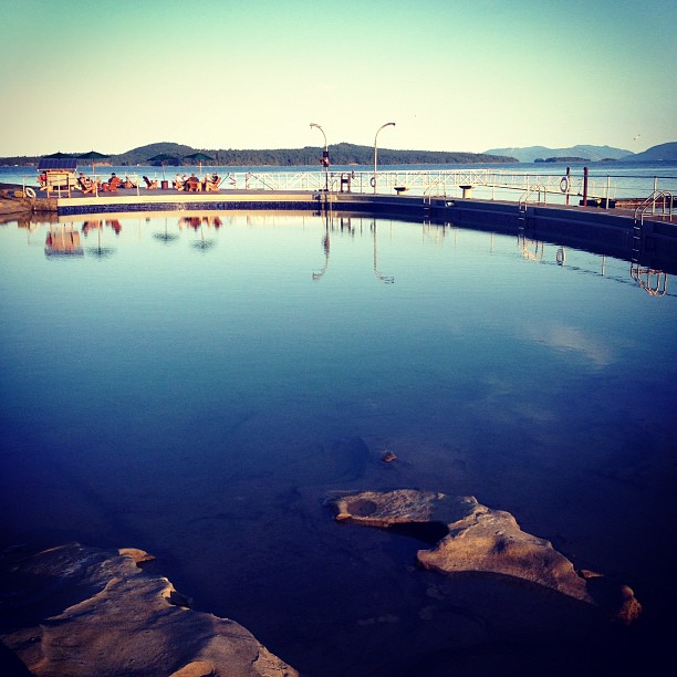
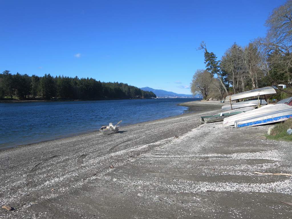
Sandstone beach at high tide near Ladysmith, British Columbia, Canada
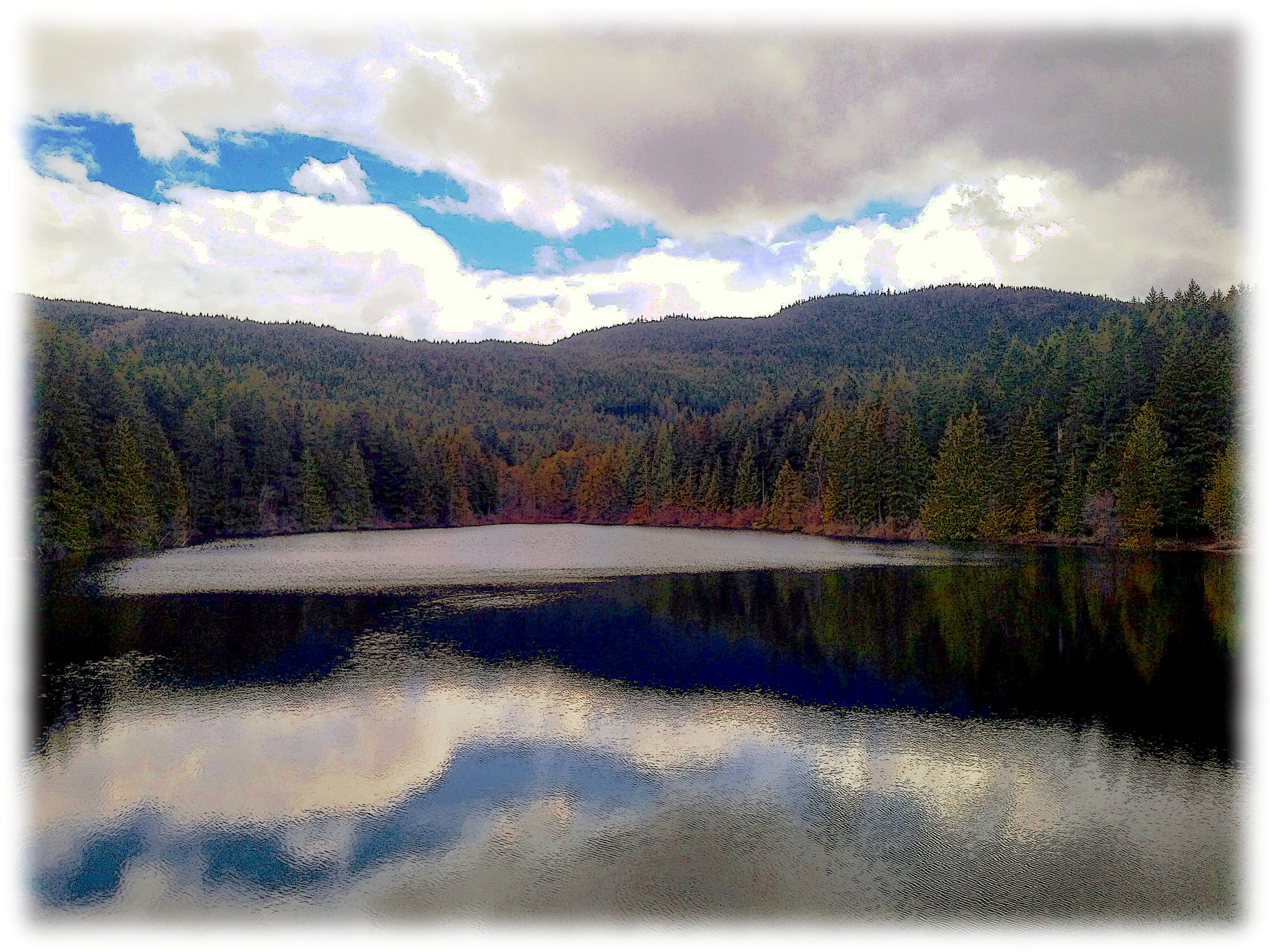
Heart Lake - Blackberry Priv
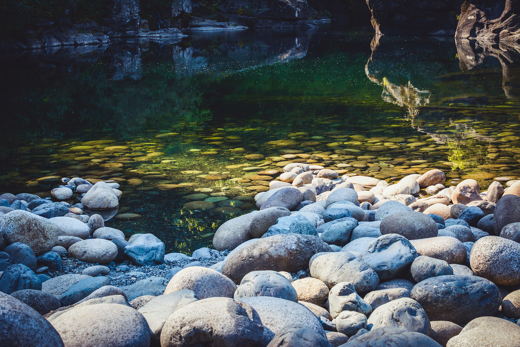
Drink the swimming water at will

Holland Creek Trail and Heart Lake - 2 (of 16) - Panasonic Lumix GF2 with live MOS sensor (2011) and Zuiko Digital 1:3.5-5.6 14-42mm (FT Mount with FT-MFT Electronic Lens Adapter)
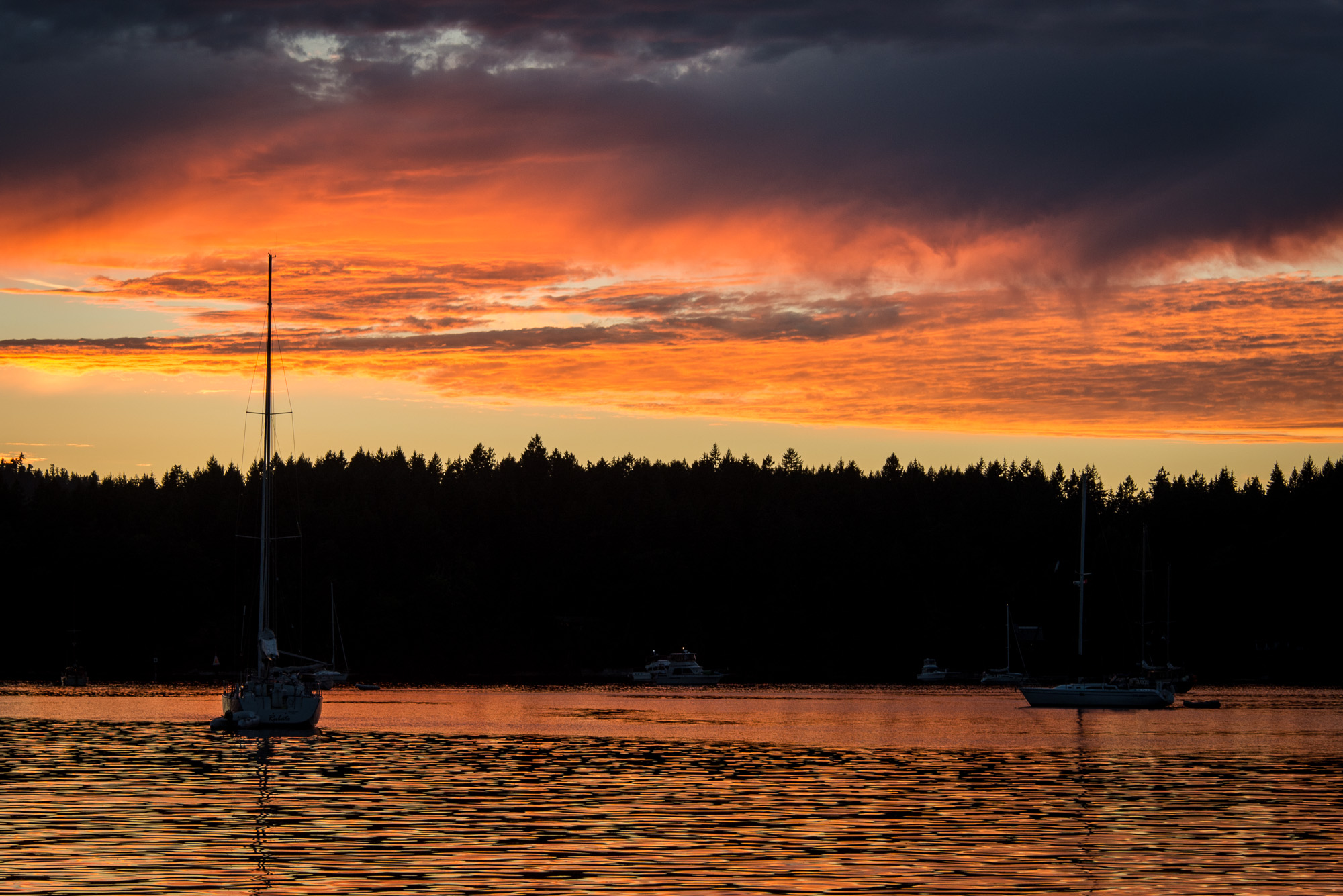
Sunset at Clam Bay
Nanaimo River
Holland Creek Trail and Heart Lake - 3 (of 16) - Panasonic Lumix GF2 with live MOS sensor (2011) and Zuiko Digital 1:3.5-5.6 14-42mm (FT Mount with FT-MFT Electronic Lens Adapter)
False Narrows
Holland Creek Trail From Epson V500 III: HDR (from negative scan) - Canon EOS Elan II with Bushnell 28mm 1:2.8 Prime (with Fotodiox PK-EOS Adapter) and Kodak 200 ISO Film
Topographic Map of Ladysmith, BC, Canada
Find elevation by address:

Places in Ladysmith, BC, Canada:
Places near Ladysmith, BC, Canada:
Wigwam Restaurant
White Street
332 Belaire St
Royal Canadian Mounted Police (rcmp)
Dogwood Drive & 4th Avenue Extension
Active Solutions Health + Sport
532 Warren St
1030 6 Ave
101 Stephenson St
Heart Lake Trail
947 Davidson Rd
967 Davidson Rd
Davis Road
Aho Road
10980 Westdowne Rd
3902 Saltair Rd
10880 Willcox Rd
3720 S Oyster School Rd
3700 Gardner Rd
10660 Southin Rd
Recent Searches:
- Elevation of 3 Nestling Wood Dr, Long Valley, NJ, USA
- Elevation of Ilungu, Tanzania
- Elevation of Yellow Springs Road, Yellow Springs Rd, Chester Springs, PA, USA
- Elevation of Rēzekne Municipality, Latvia
- Elevation of Plikpūrmaļi, Vērēmi Parish, Rēzekne Municipality, LV-, Latvia
- Elevation of 2 Henschke Ct, Caboolture QLD, Australia
- Elevation of Redondo Ave, Long Beach, CA, USA
- Elevation of Sadovaya Ulitsa, 20, Rezh, Sverdlovskaya oblast', Russia
- Elevation of Ulitsa Kalinina, 79, Rezh, Sverdlovskaya oblast', Russia
- Elevation of 72-31 Metropolitan Ave, Middle Village, NY, USA