Elevation of Davis Road, Davis Rd, Ladysmith, BC V9G, Canada
Location: Canada > British Columbia > Cowichan Valley > Cowichan Valley G > Ladysmith >
Longitude: -123.80013
Latitude: 48.9696279
Elevation: 88m / 289feet
Barometric Pressure: 100KPa
Elevation Map:
Satellite Map:
Related Photos:

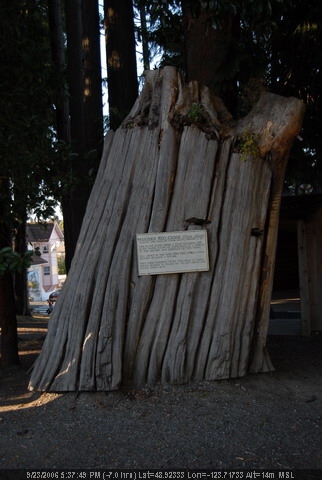
croft street
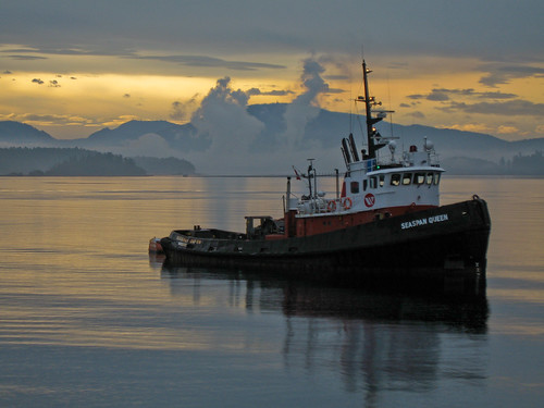
seaspan Queen

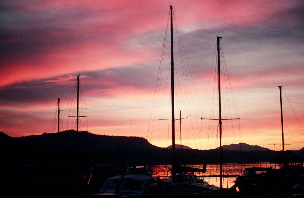
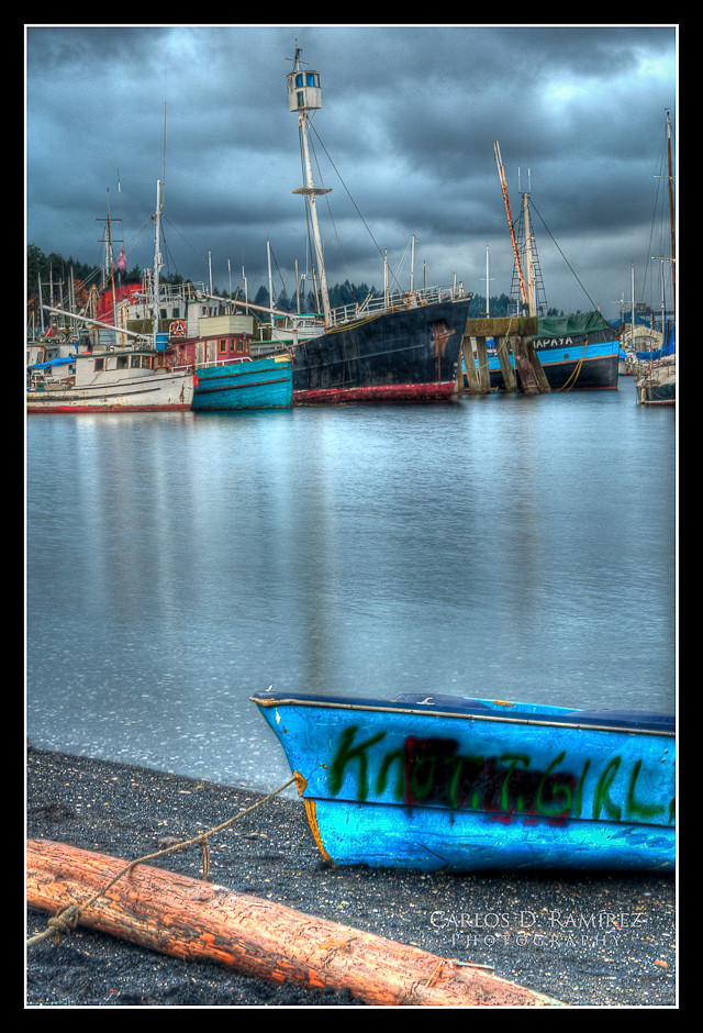
Ladysmith Harbour

Favourite wildlife_ STewart_002_TNT11
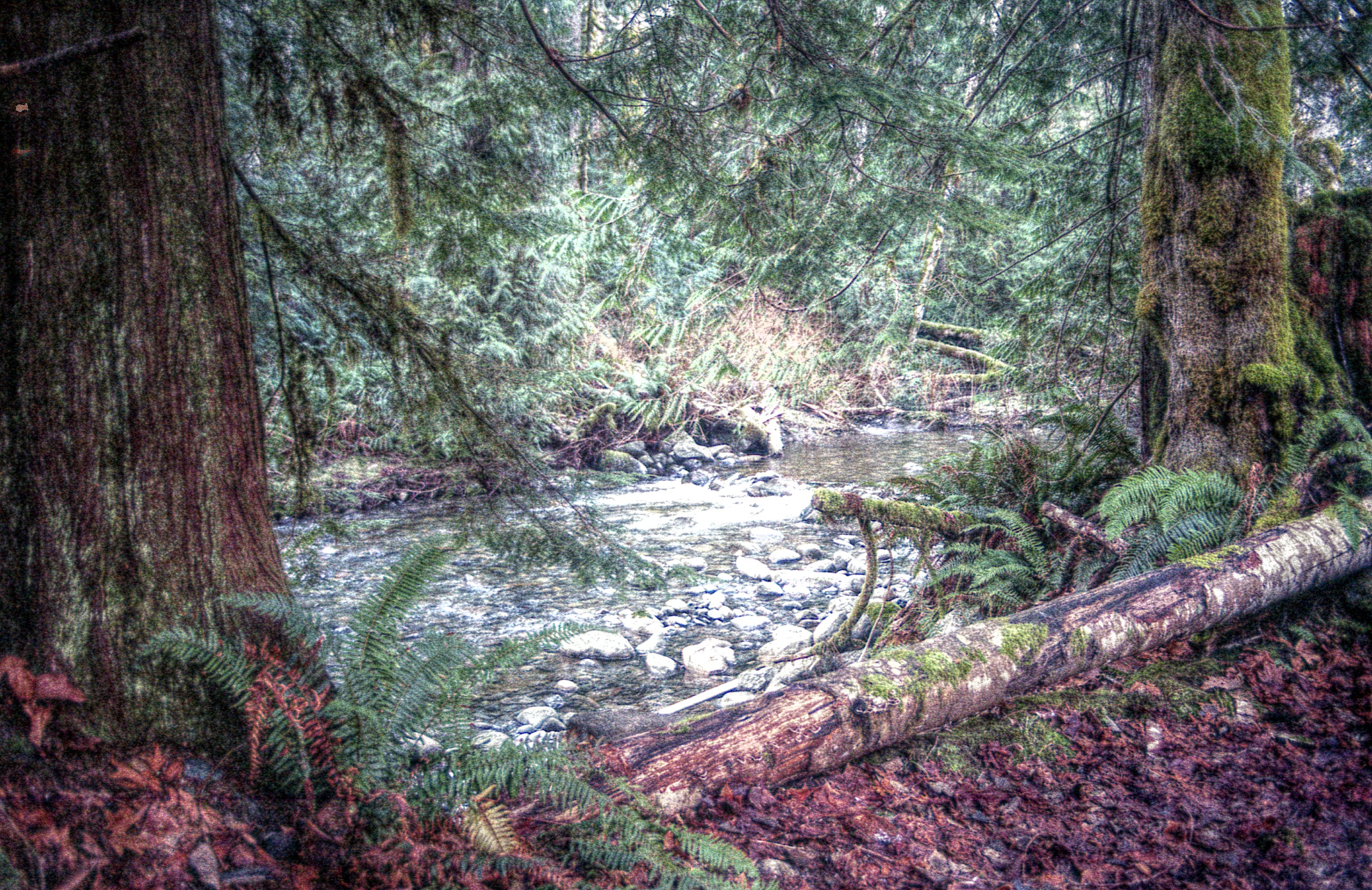
A Not-So-Roaring Stream
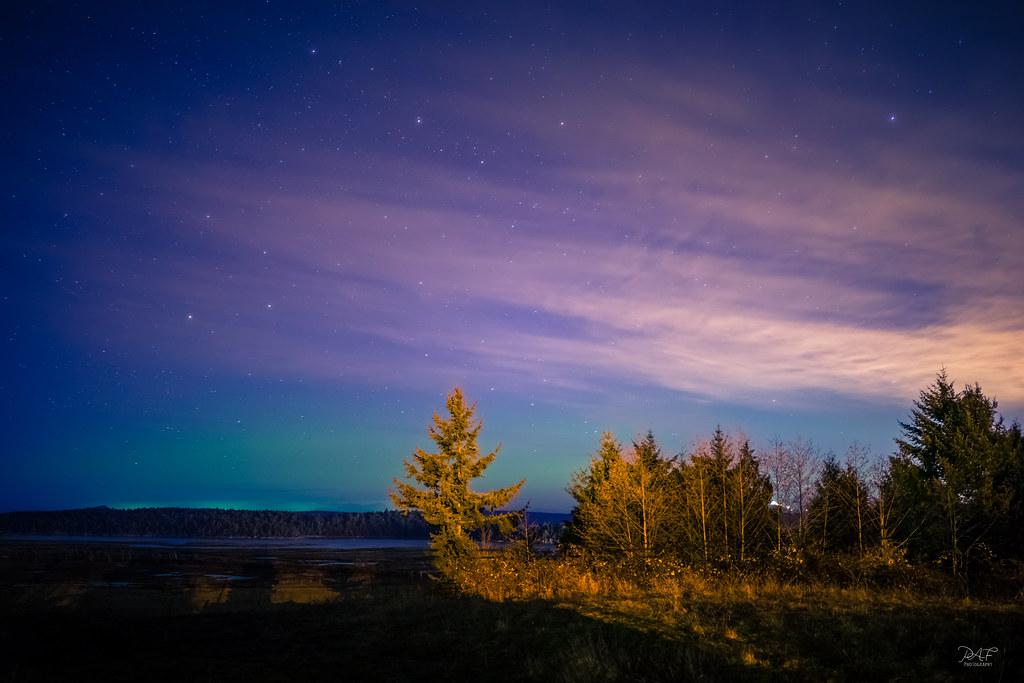
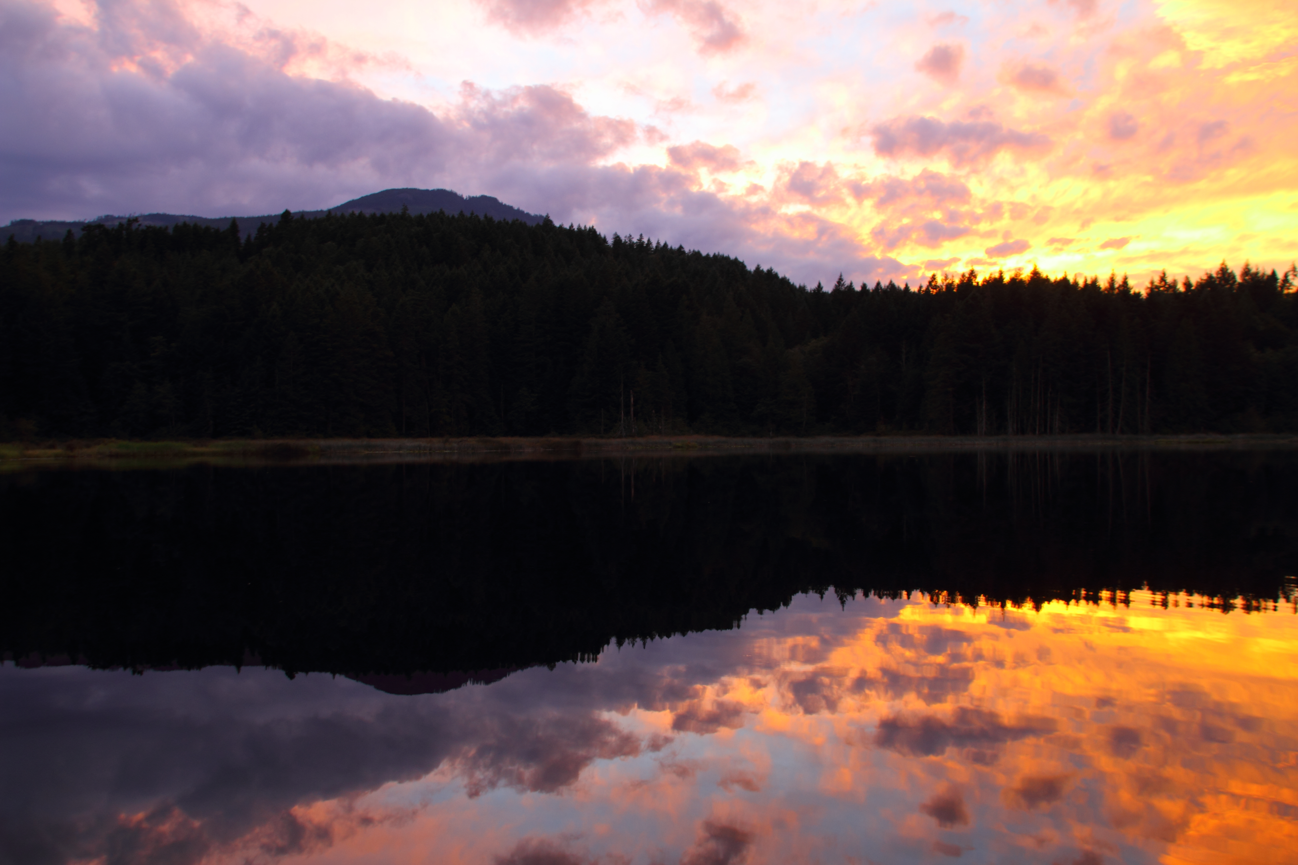
Aurora over Crofton
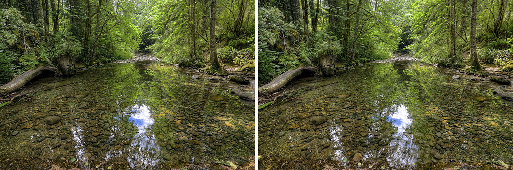
Holland Creek 3D
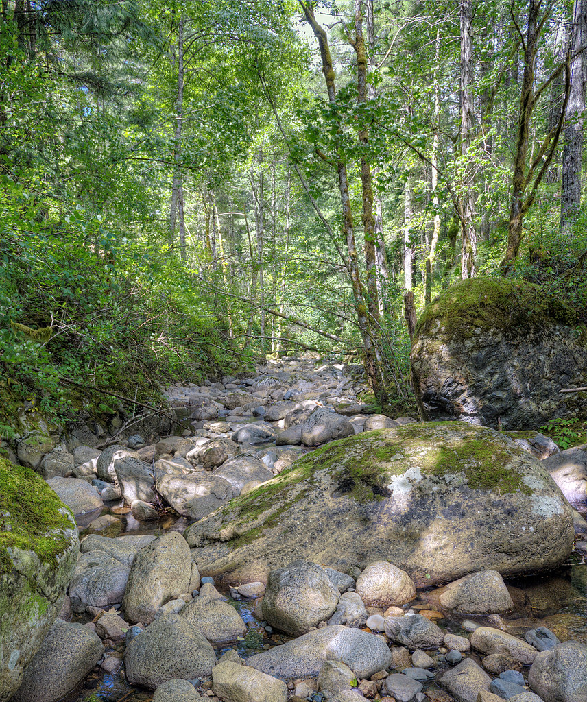
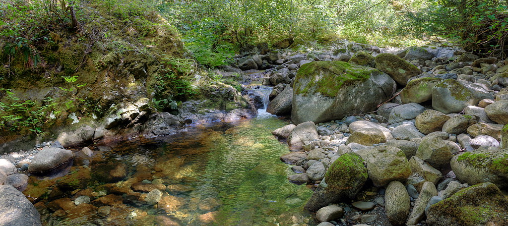
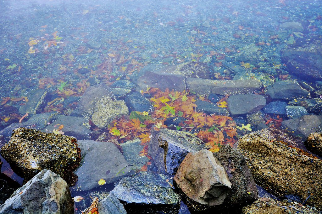
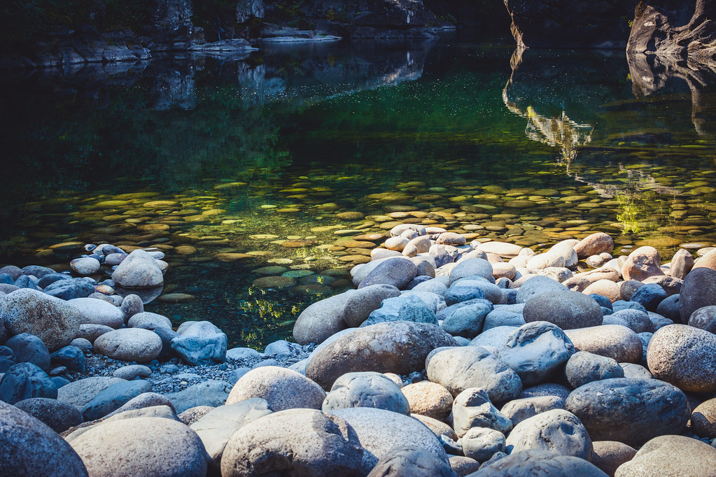
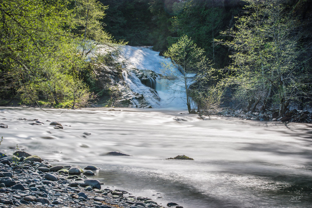
Holland Creek: More Rock Than Water
Chemainus (19).JPG
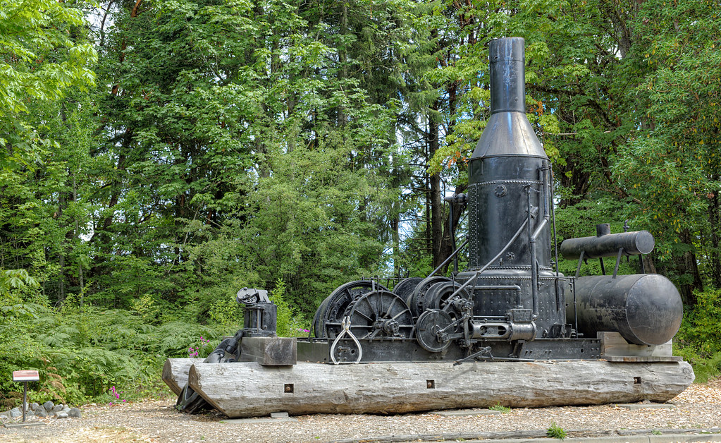
Ladysmith Steam Donkey

Chemainus (72).JPG
Chemainus (78).JPG
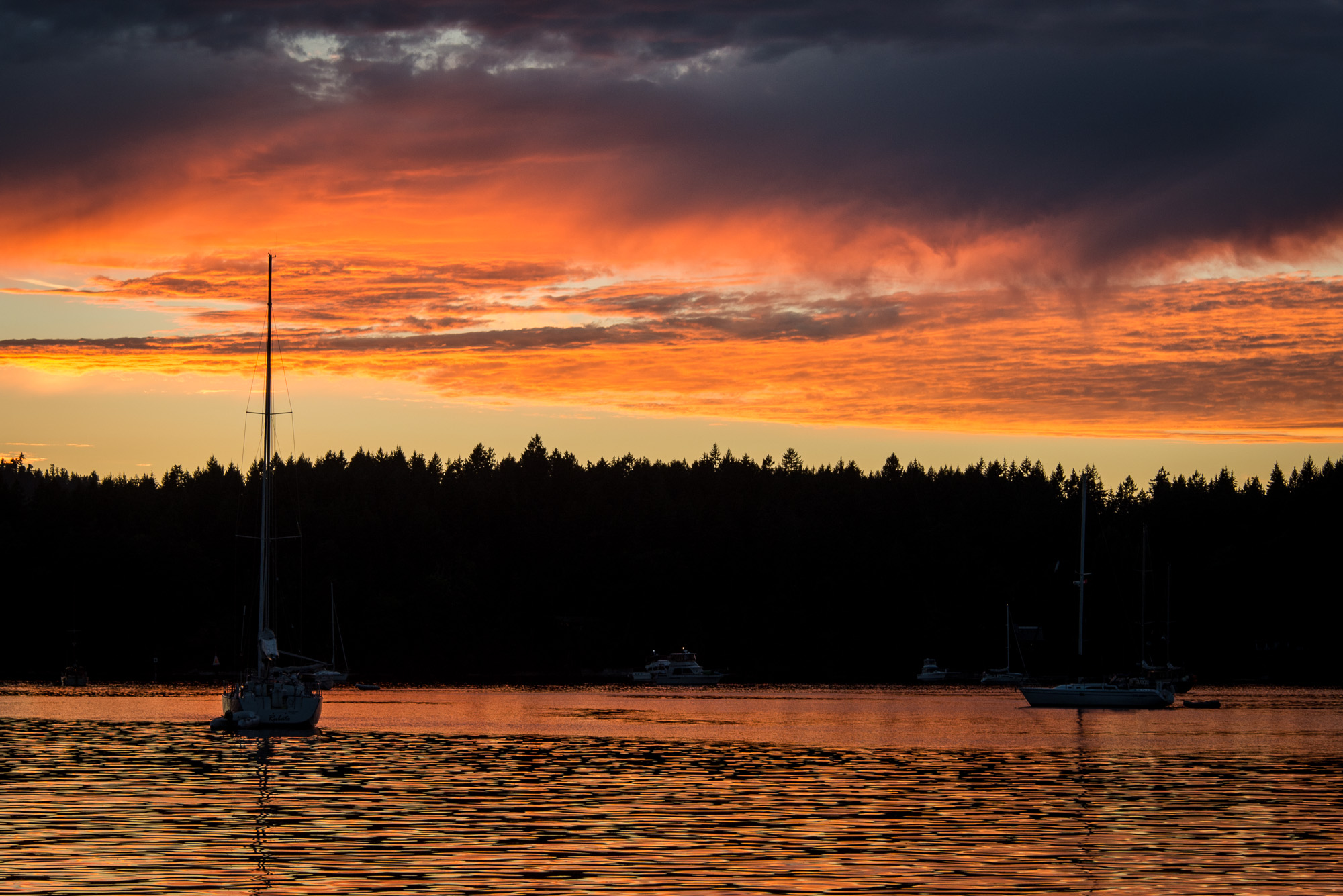
Manana Sunset
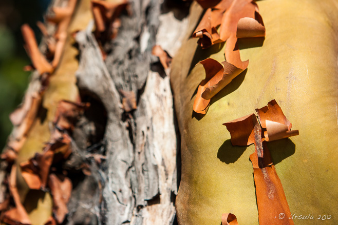
Natures Abstracts: Tree Bark 1762
Natures Abstracts: Tree Bark 1756
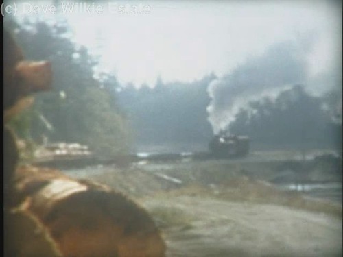
MacMillan Bloedel 1044 - trip to Chemainus Log Dump(c) - excerpt
House Lights Snow

Chemainus (42).JPG
Natures Abstracts: Tree Bark 1758

Chemainus (65).JPG
Transfer Beach Park

Show Time

Tony Only scene
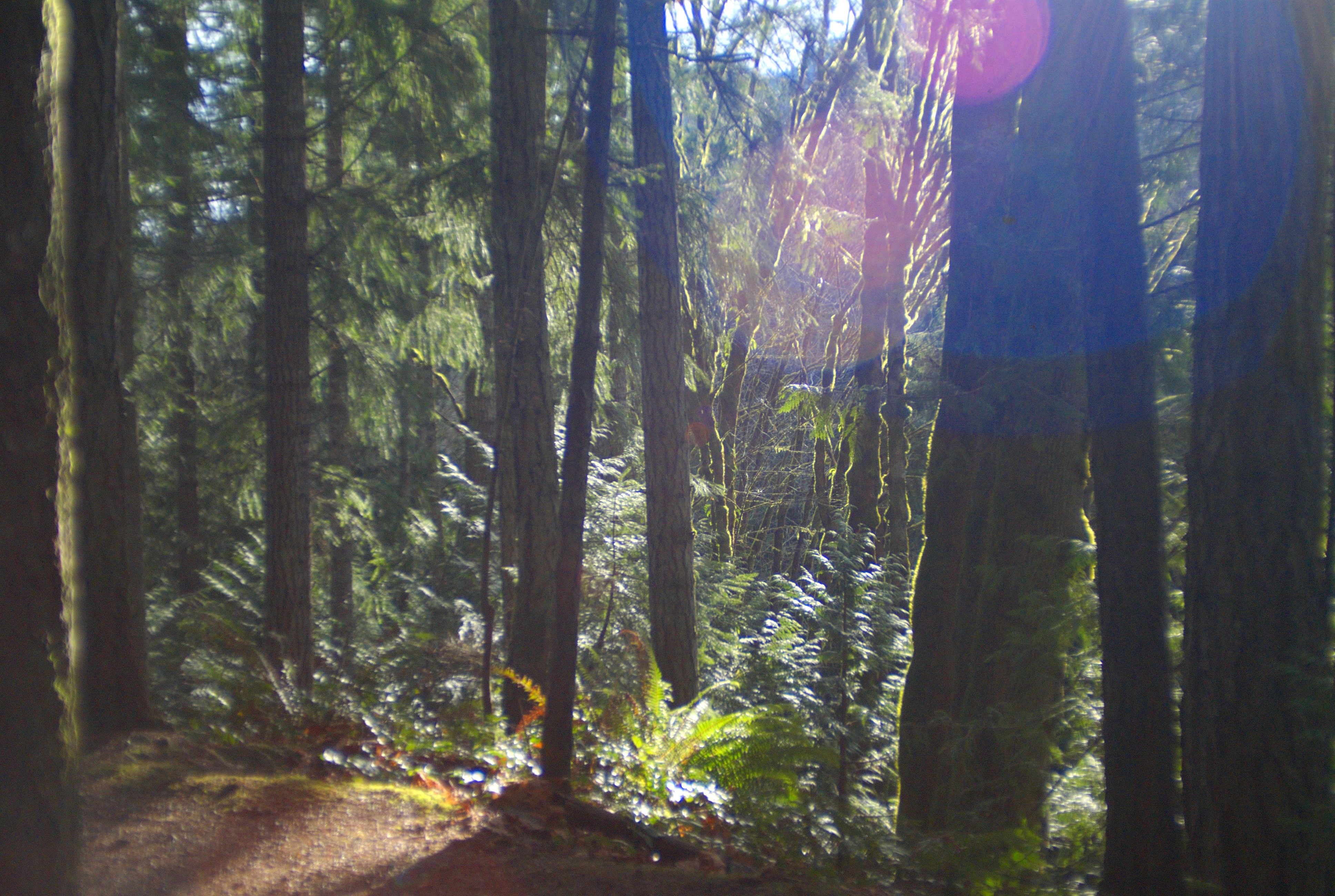
Golden Hour path

Elliots Beach
Fall under the sea at the shoreline Chemainus Vancouver Island
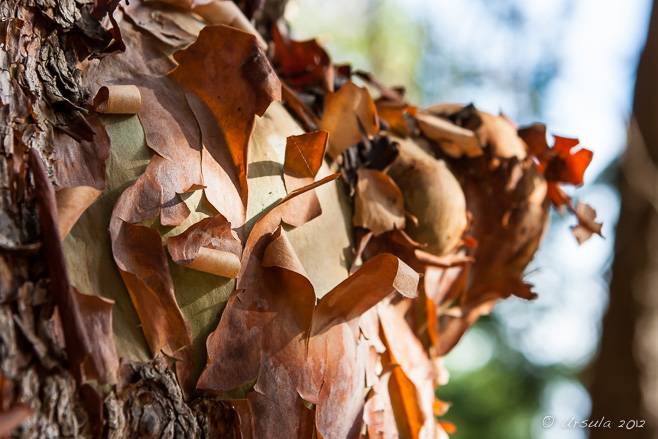
Arbutus tree loosing spring bark
Roberts Memorial Park
Drink the swimming water at will
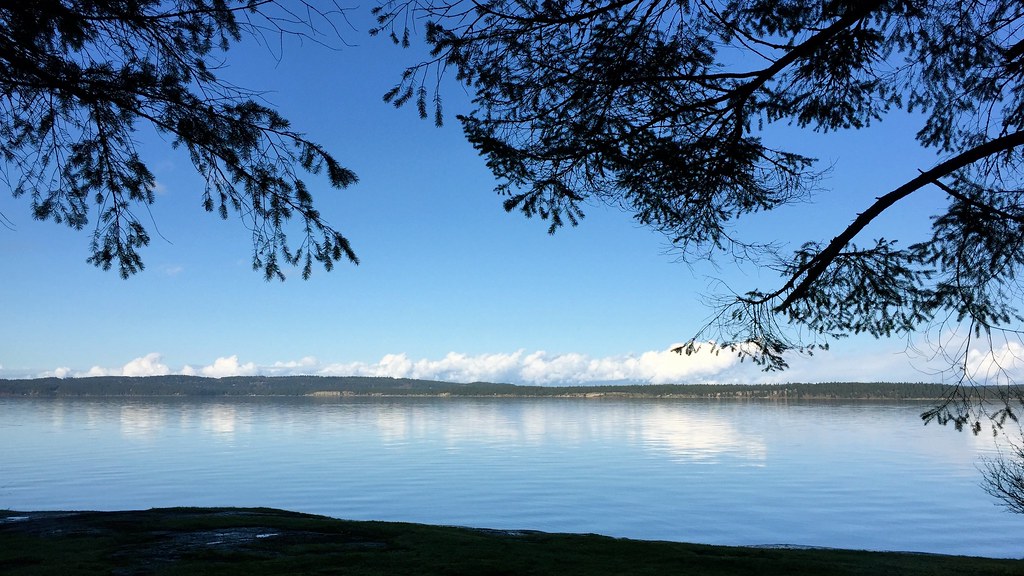
Still water
Sunset at Clam Bay
Nanaimo River

Holland Creek Trail and Heart Lake - 2 (of 16) - Panasonic Lumix GF2 with live MOS sensor (2011) and Zuiko Digital 1:3.5-5.6 14-42mm (FT Mount with FT-MFT Electronic Lens Adapter)
On the Holland Creek Trail II - Sony DSLR-A300 with Tamron 28-200mm (45-320mm with crop) f/1:3.8-5.6 Zoom (with Fotodiox PK-Sony Adapter)
Holland Creek Trail From Epson V500 III: HDR (from negative scan) - Canon EOS Elan II with Bushnell 28mm 1:2.8 Prime (with Fotodiox PK-EOS Adapter) and Kodak 200 ISO Film
Banon Creek falls and the Chemainus River
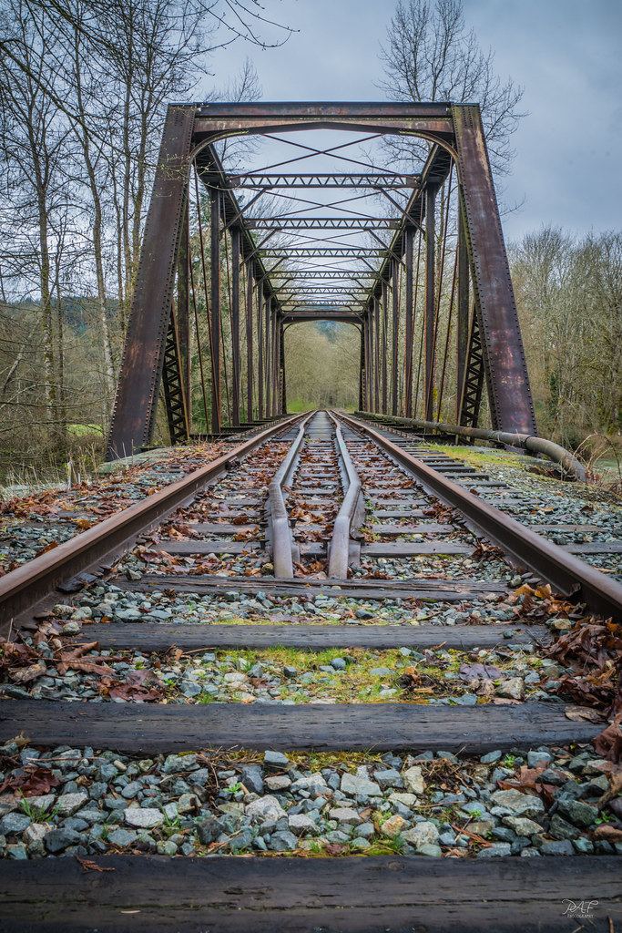
Abandoned railbridge
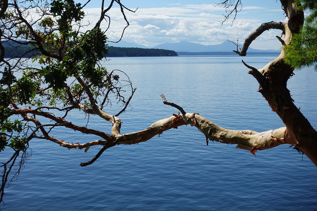
Salish Sea
Topographic Map of Davis Road, Davis Rd, Ladysmith, BC V9G, Canada
Find elevation by address:

Places near Davis Road, Davis Rd, Ladysmith, BC V9G, Canada:
101 Stephenson St
Dogwood Drive & 4th Avenue Extension
10980 Westdowne Rd
332 Belaire St
White Street
Royal Canadian Mounted Police (rcmp)
Wigwam Restaurant
Ladysmith
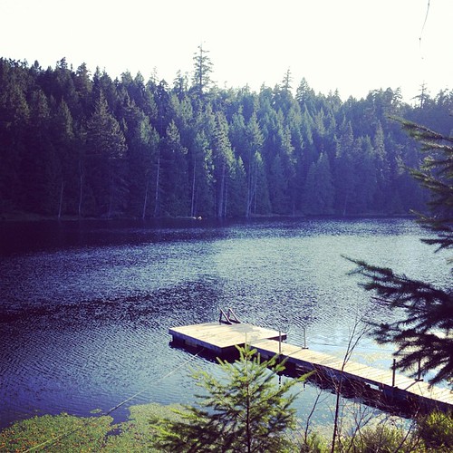
Heart Lake Trail
Active Solutions Health + Sport
532 Warren St
1030 6 Ave
3902 Saltair Rd
10880 Willcox Rd
10660 Southin Rd
3720 S Oyster School Rd
3700 Gardner Rd
947 Davidson Rd
967 Davidson Rd
Panorama Crescent
Recent Searches:
- Elevation of 3 Nestling Wood Dr, Long Valley, NJ, USA
- Elevation of Ilungu, Tanzania
- Elevation of Yellow Springs Road, Yellow Springs Rd, Chester Springs, PA, USA
- Elevation of Rēzekne Municipality, Latvia
- Elevation of Plikpūrmaļi, Vērēmi Parish, Rēzekne Municipality, LV-, Latvia
- Elevation of 2 Henschke Ct, Caboolture QLD, Australia
- Elevation of Redondo Ave, Long Beach, CA, USA
- Elevation of Sadovaya Ulitsa, 20, Rezh, Sverdlovskaya oblast', Russia
- Elevation of Ulitsa Kalinina, 79, Rezh, Sverdlovskaya oblast', Russia
- Elevation of 72-31 Metropolitan Ave, Middle Village, NY, USA