Elevation of Dogwood Drive & 4th Avenue Extension, Dogwood Dr & 4th Ave Ext, Ladysmith, BC V9G 1T5, Canada
Location: Canada > British Columbia > Cowichan Valley > Cowichan Valley G > Ladysmith >
Longitude: -123.81030
Latitude: 48.984518
Elevation: 56m / 184feet
Barometric Pressure: 101KPa
Elevation Map:
Satellite Map:
Related Photos:

Ladysmith Harbour
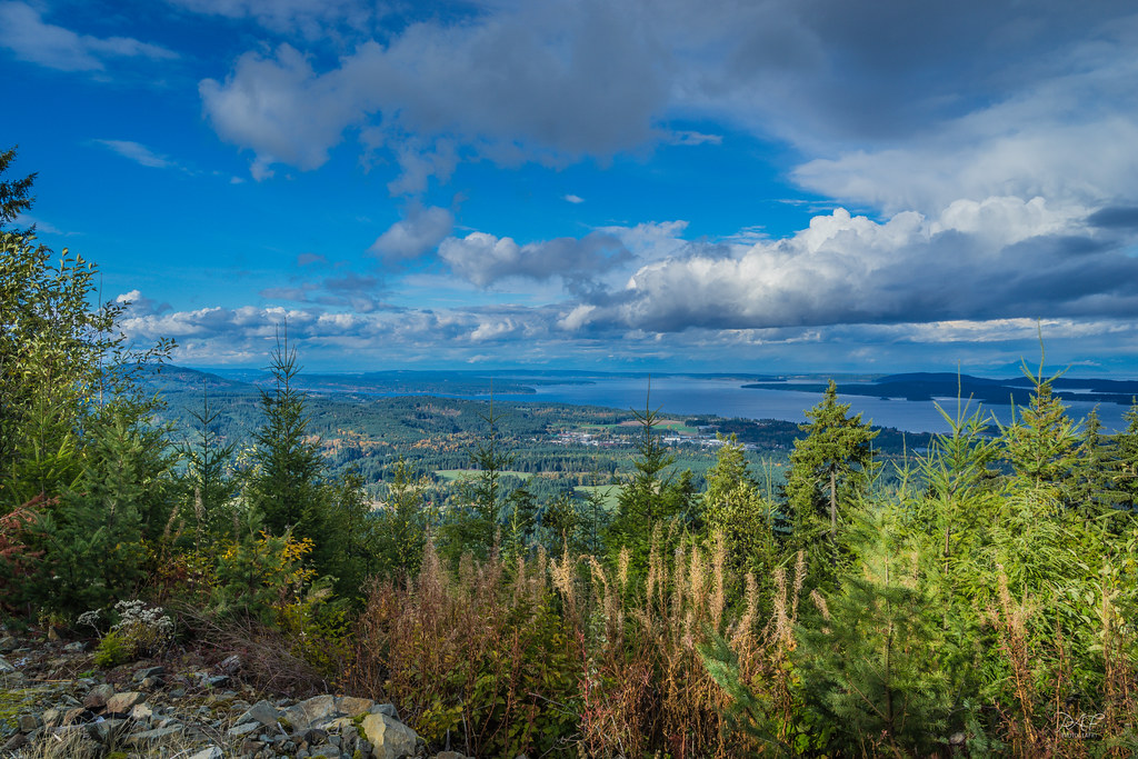
The view from Mt Sicker
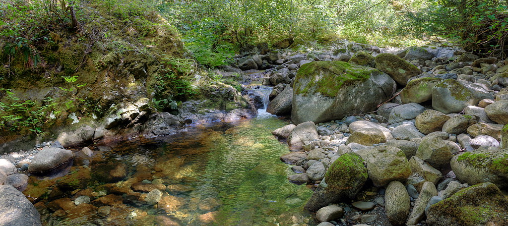
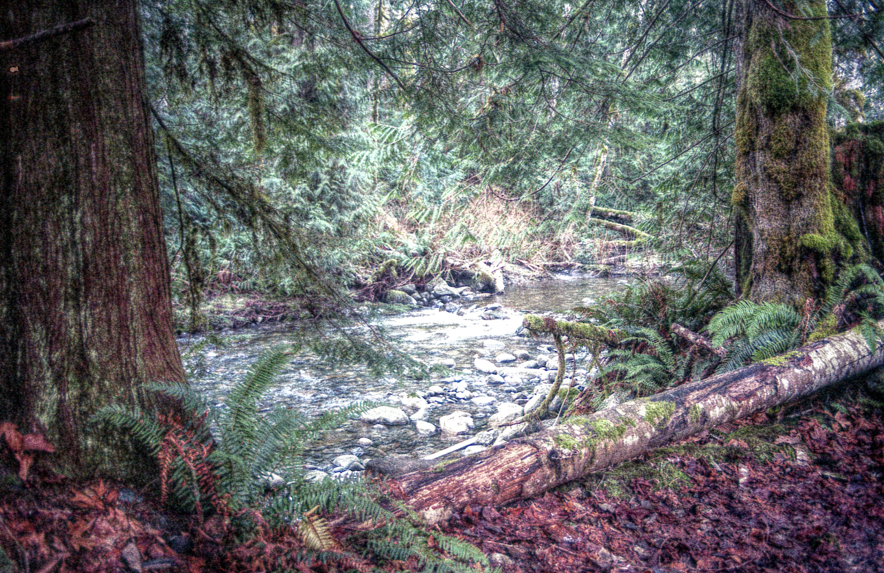
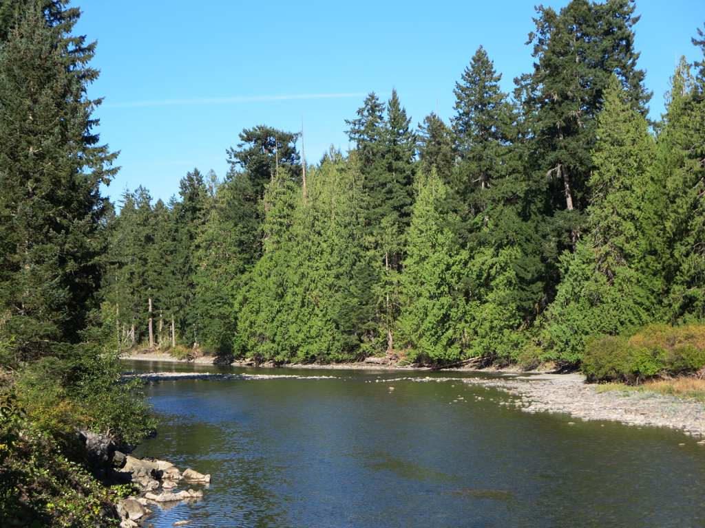
A Not-So-Roaring Stream
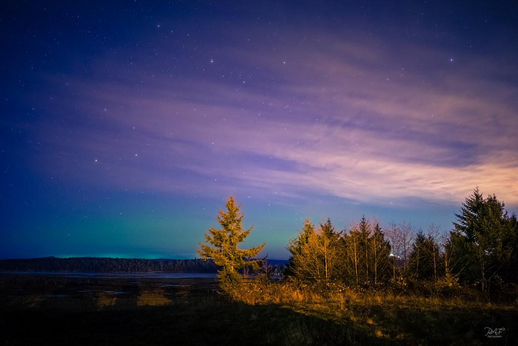
Aurora over Crofton
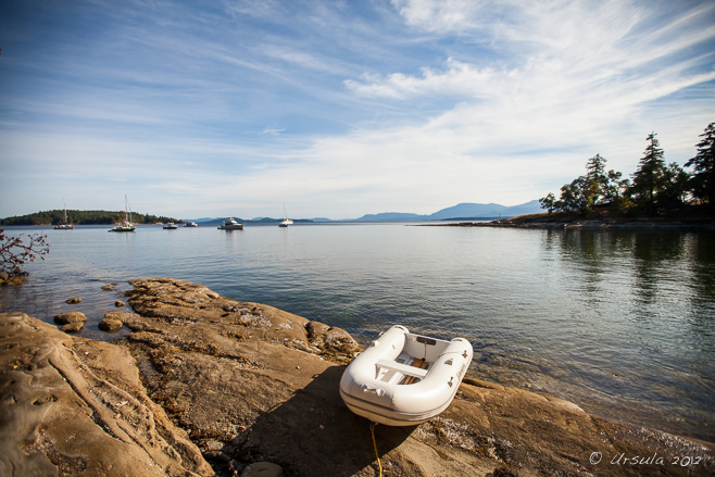
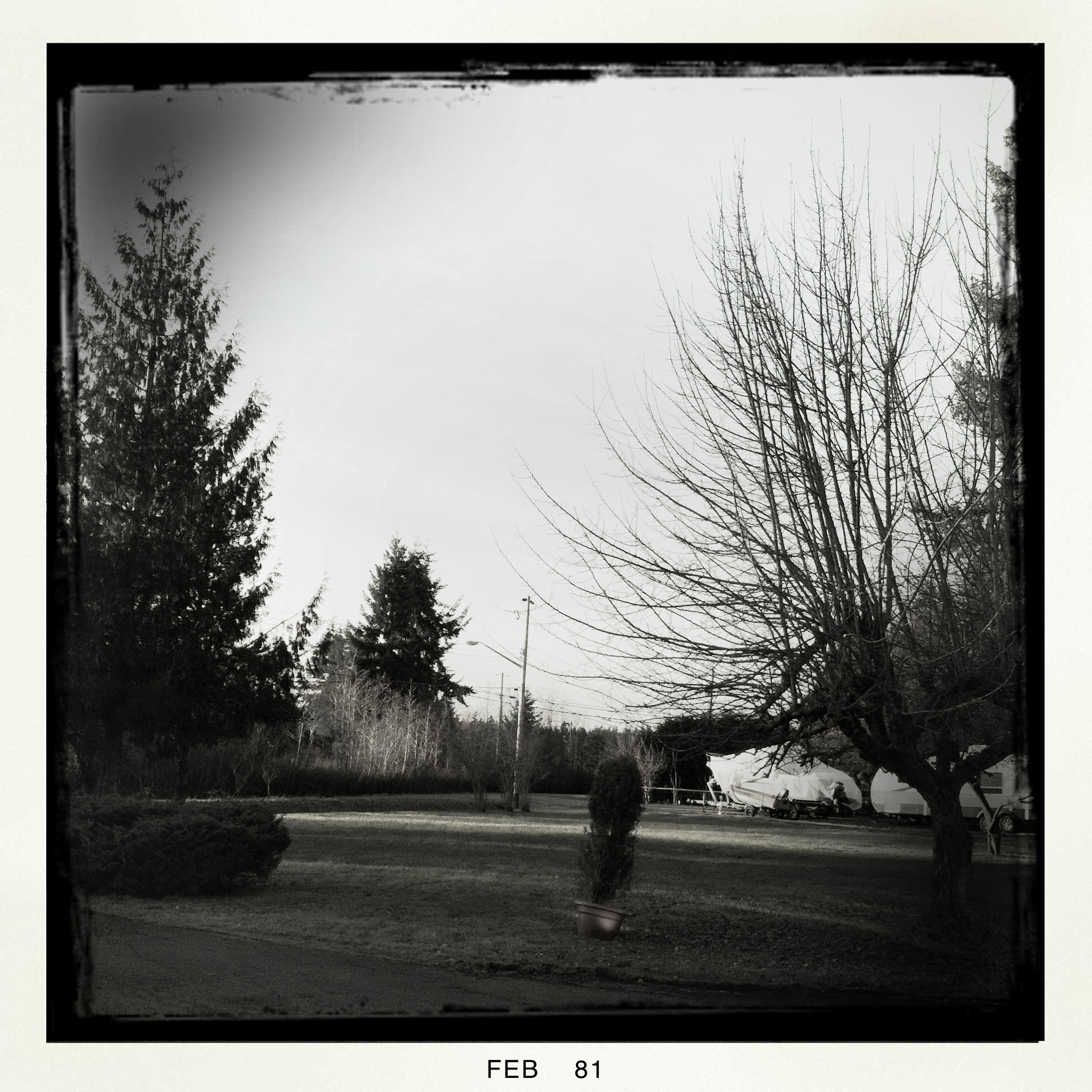
Dinghy on DeCourcy 0645
House Lights Snow
seaspan Queen

Favourite wildlife_ STewart_002_TNT11
Pine Cones 1773
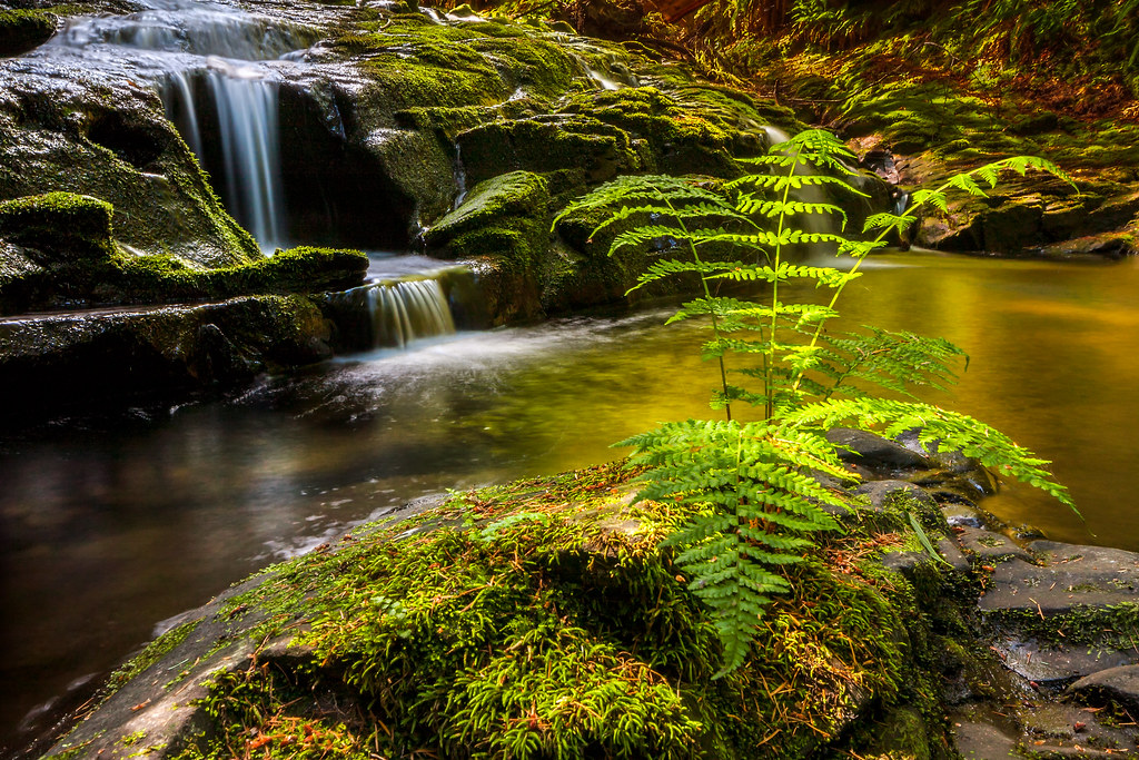
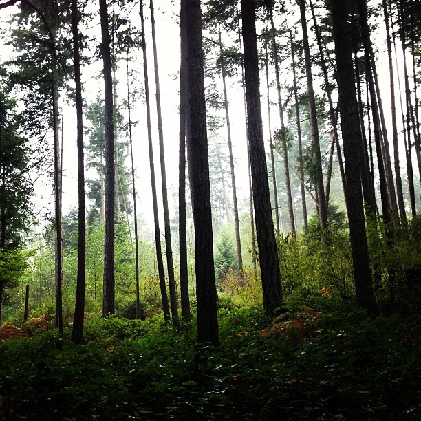
Holland Creek: More Rock Than Water
Chemainus (32).JPG

Chemainus (72).JPG
Thetis Island Sunset
Chemainus (13).JPG
Chemainus (57).JPG
Chemainus (19).JPG
Chemainus (43).JPG
Manana Sunset
Chemainus (53).JPG
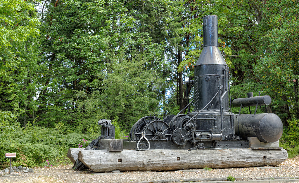
Ladysmith Steam Donkey
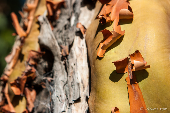
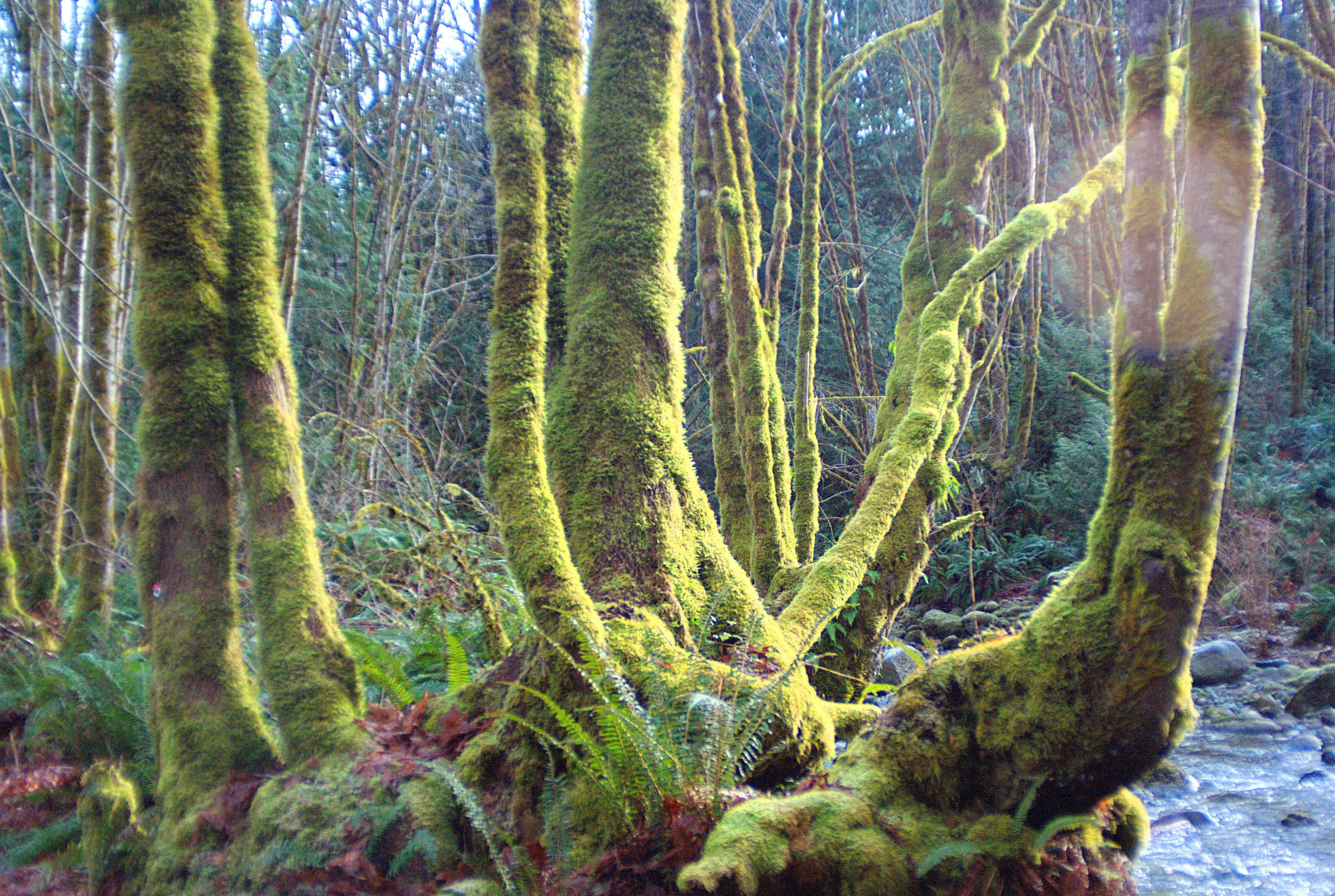
Natures Abstracts: Tree Bark 1762
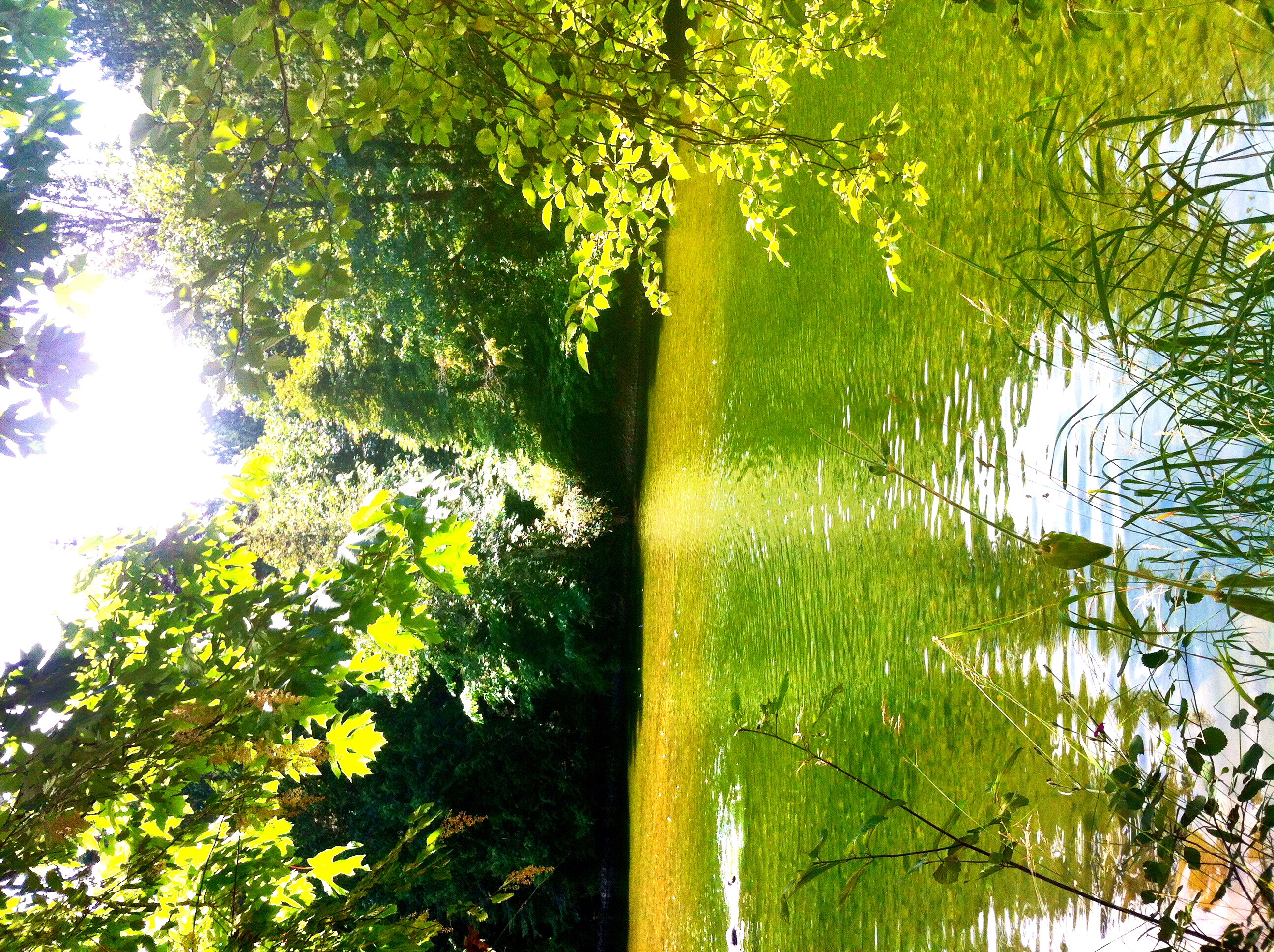
ALONG A STREAM
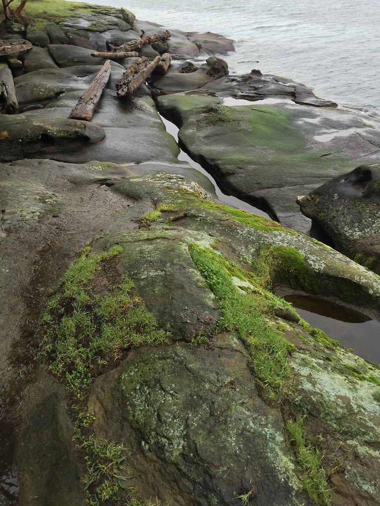
Sandstone beach at high tide near Ladysmith, British Columbia, Canada
HIP_318297835.305395
Hike in the forest while we wait for the ferry...
Such summer

"The Hermit" by Paul Ygartua, 2004
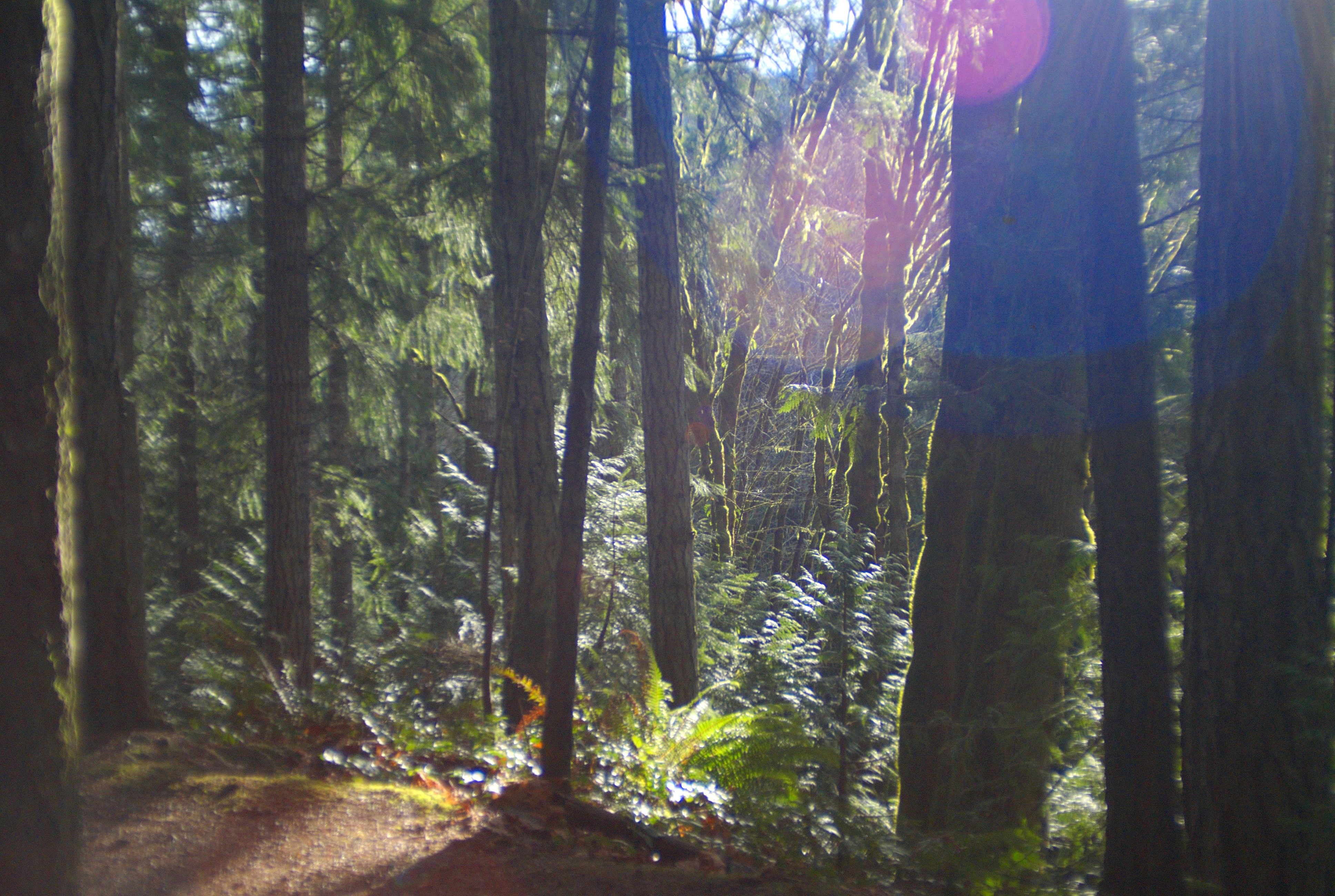
On the Holland Creek Trail II - Sony DSLR-A300 with Tamron 28-200mm (45-320mm with crop) f/1:3.8-5.6 Zoom (with Fotodiox PK-Sony Adapter)
Holland Creek Trail From Epson V500 III: HDR (from negative scan) - Canon EOS Elan II with Bushnell 28mm 1:2.8 Prime (with Fotodiox PK-EOS Adapter) and Kodak 200 ISO Film
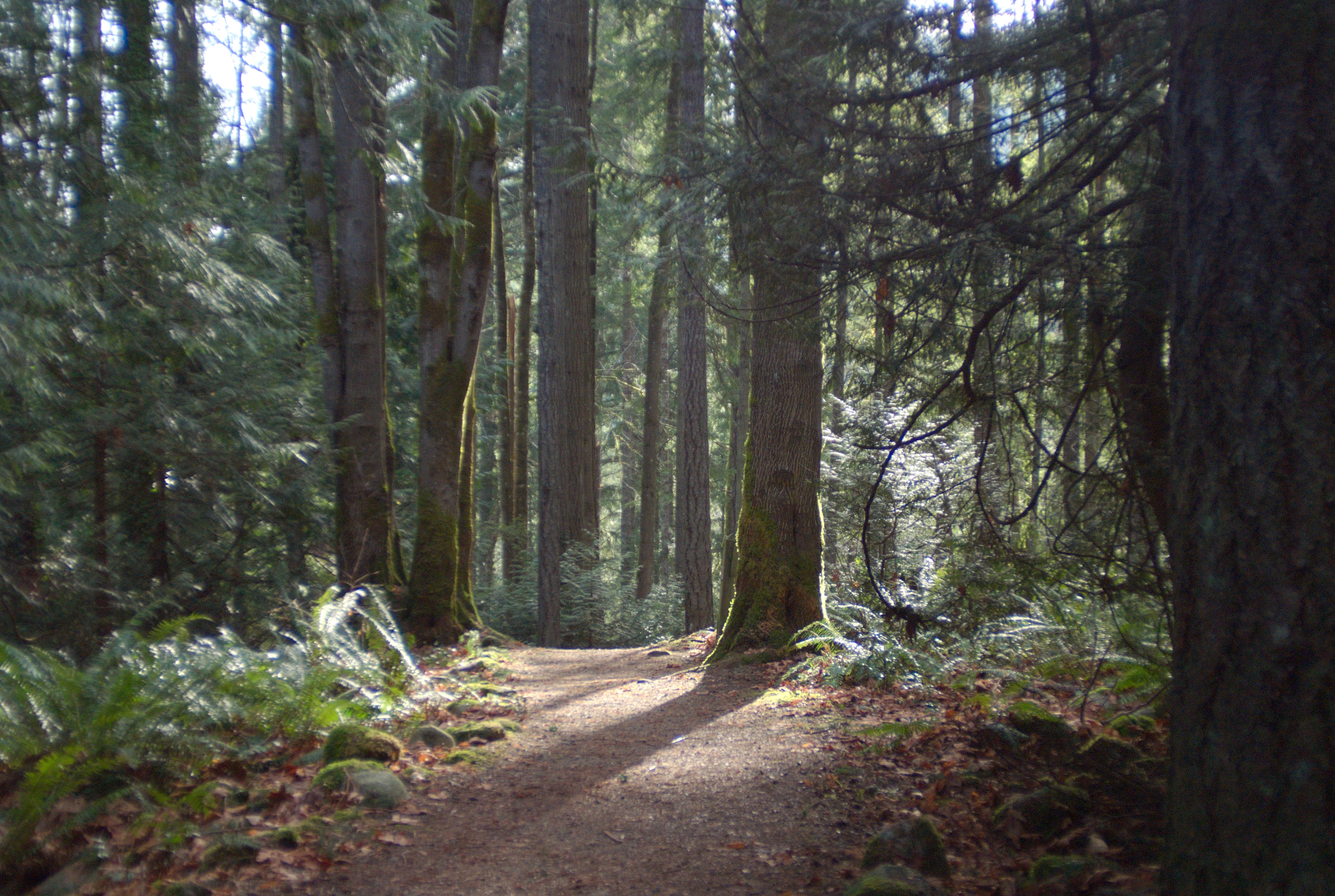
Section of Holland Creek Trail - Sony DSLR-A300 with Tamron 28-200mm (45-320mm with crop) f/1:3.8-5.6 Zoom (with Fotodiox PK-Sony Adapter)
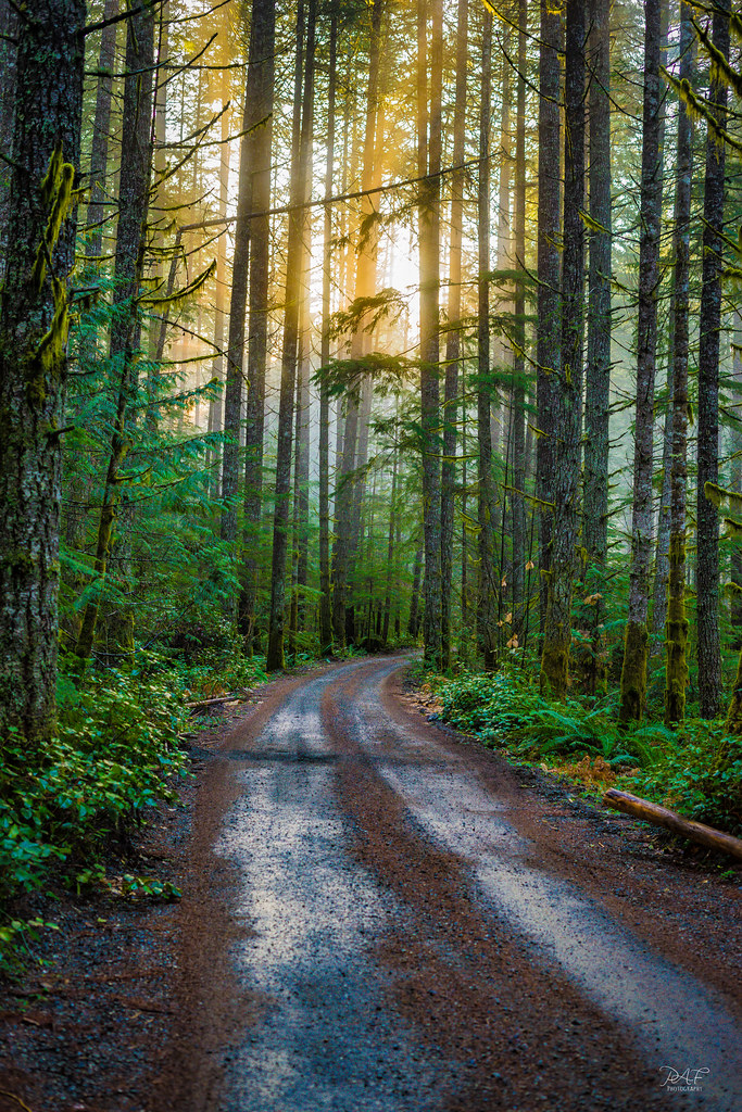
Golden Hour path

Elliot Beach Park
Holland Creek Bank II - Sony DSLR-A300 with Tamron 28-200mm (45-320mm with crop) f/1:3.8-5.6 Zoom (with Fotodiox PK-Sony Adapter)
Rock Carving on the Holland Creek Trail: HDR (from single RAW) - Sony DSLR-A300 with Tamron 28-200mm (45-320mm with crop) f/1:3.8-5.6 Zoom (with Fotodiox PK-Sony Adapter)
Stocking Creek Falls
Holland Creek Trail and Heart Lake - 3 (of 16) - Panasonic Lumix GF2 with live MOS sensor (2011) and Zuiko Digital 1:3.5-5.6 14-42mm (FT Mount with FT-MFT Electronic Lens Adapter)
River Canyon Vert
Nanaimo River

Extra Long Exposure
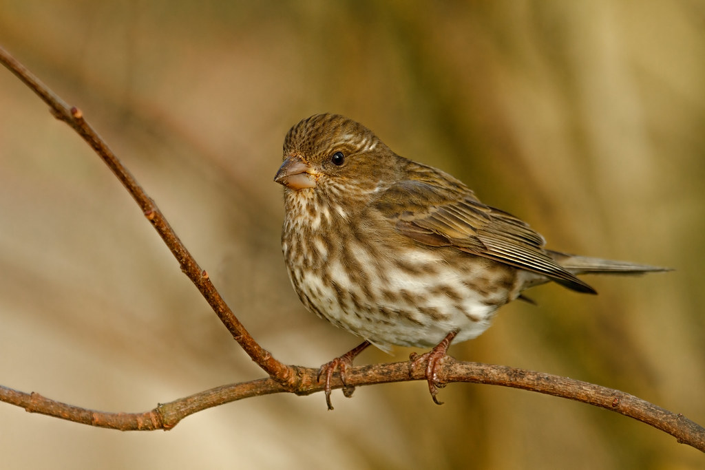
FEMALE PURPLE FINCH
Red and Green
Topographic Map of Dogwood Drive & 4th Avenue Extension, Dogwood Dr & 4th Ave Ext, Ladysmith, BC V9G 1T5, Canada
Find elevation by address:

Places near Dogwood Drive & 4th Avenue Extension, Dogwood Dr & 4th Ave Ext, Ladysmith, BC V9G 1T5, Canada:
101 Stephenson St
332 Belaire St
White Street
Wigwam Restaurant
Royal Canadian Mounted Police (rcmp)
Ladysmith
Davis Road
Active Solutions Health + Sport
532 Warren St
1030 6 Ave
Heart Lake Trail
947 Davidson Rd
967 Davidson Rd
10980 Westdowne Rd
3902 Saltair Rd
10880 Willcox Rd
Aho Road
3720 S Oyster School Rd
3700 Gardner Rd
10660 Southin Rd
Recent Searches:
- Elevation of 3 Nestling Wood Dr, Long Valley, NJ, USA
- Elevation of Ilungu, Tanzania
- Elevation of Yellow Springs Road, Yellow Springs Rd, Chester Springs, PA, USA
- Elevation of Rēzekne Municipality, Latvia
- Elevation of Plikpūrmaļi, Vērēmi Parish, Rēzekne Municipality, LV-, Latvia
- Elevation of 2 Henschke Ct, Caboolture QLD, Australia
- Elevation of Redondo Ave, Long Beach, CA, USA
- Elevation of Sadovaya Ulitsa, 20, Rezh, Sverdlovskaya oblast', Russia
- Elevation of Ulitsa Kalinina, 79, Rezh, Sverdlovskaya oblast', Russia
- Elevation of 72-31 Metropolitan Ave, Middle Village, NY, USA