Elevation of Kuppam, Andhra Pradesh, India
Location: India > Andhra Pradesh > Chittoor >
Longitude: 78.3330157
Latitude: 12.7470314
Elevation: 699m / 2293feet
Barometric Pressure: 93KPa
Elevation Map:
Satellite Map:
Related Photos:
Seshadri Exp.

Meal!
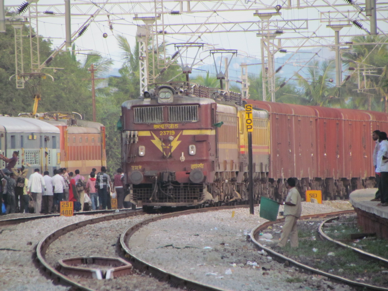
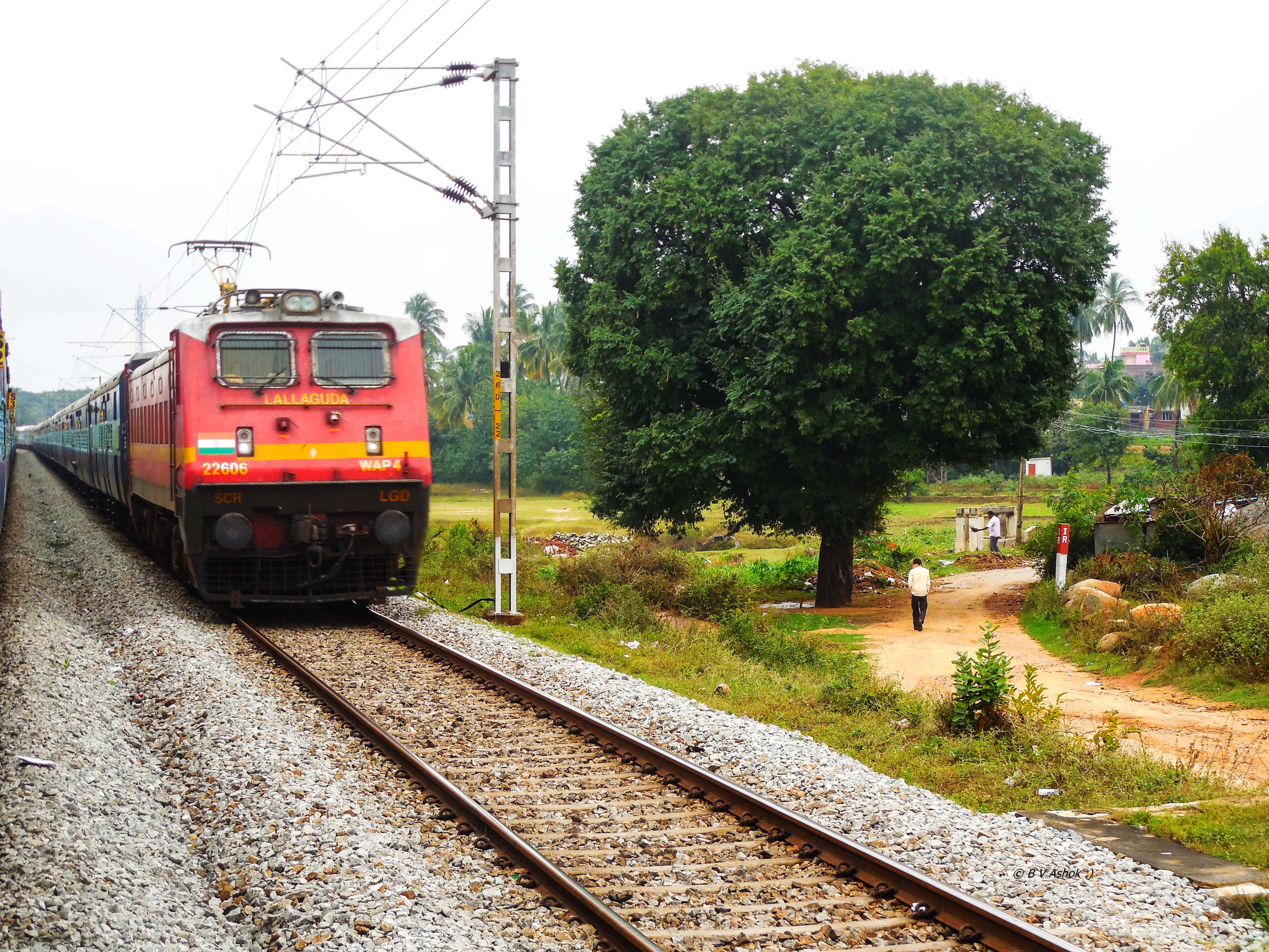
BCNA JHS WAG5 23719& WAG5HB 24009& Bangalore Chennai Brindavan express ED WAP4 22662

Sri Veeranjanaya Swamy Brahmotsavam

Ant of steel

Steel Models

Stupendous ANT

Vending Boy
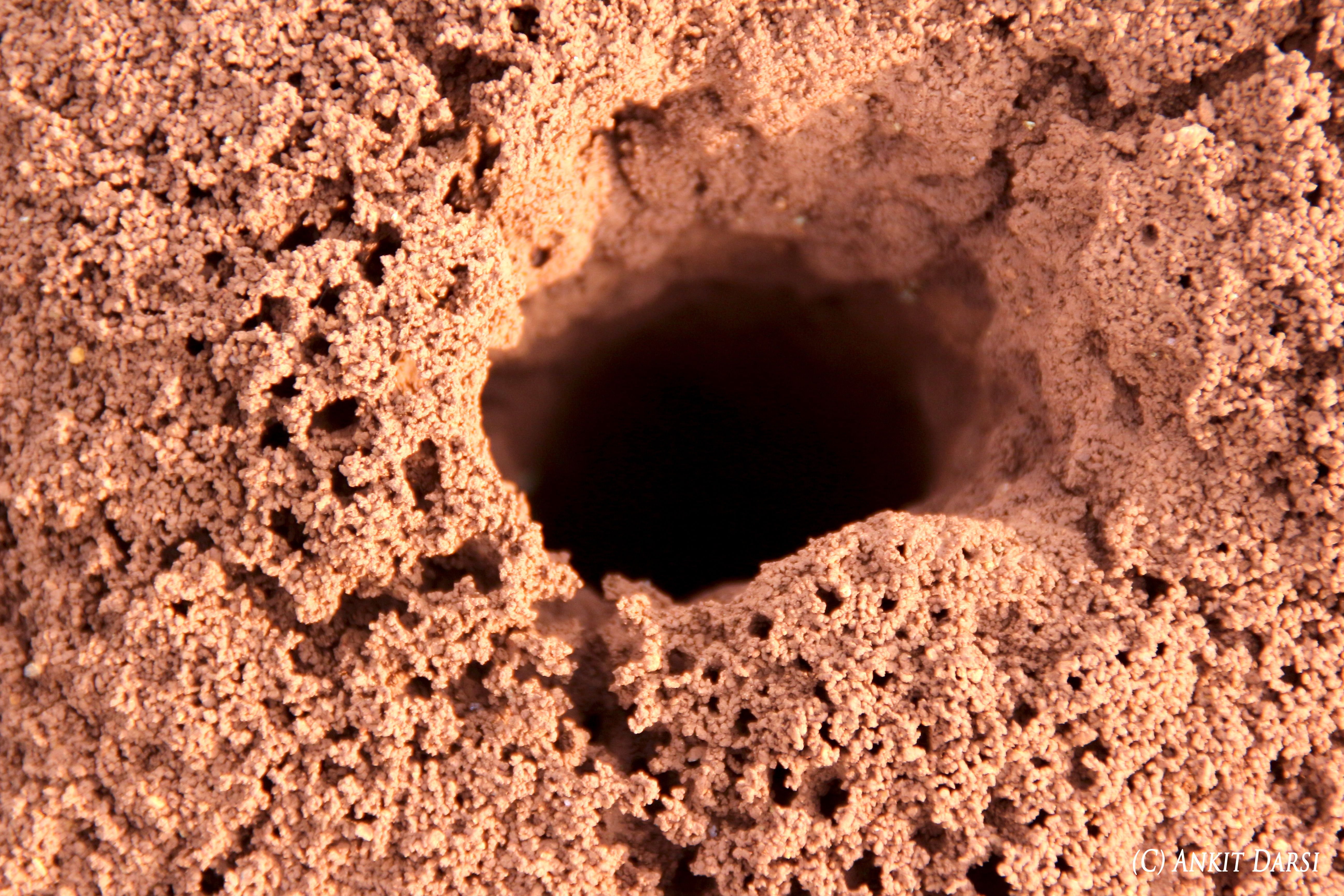
Ant-nest

Mechanical tools
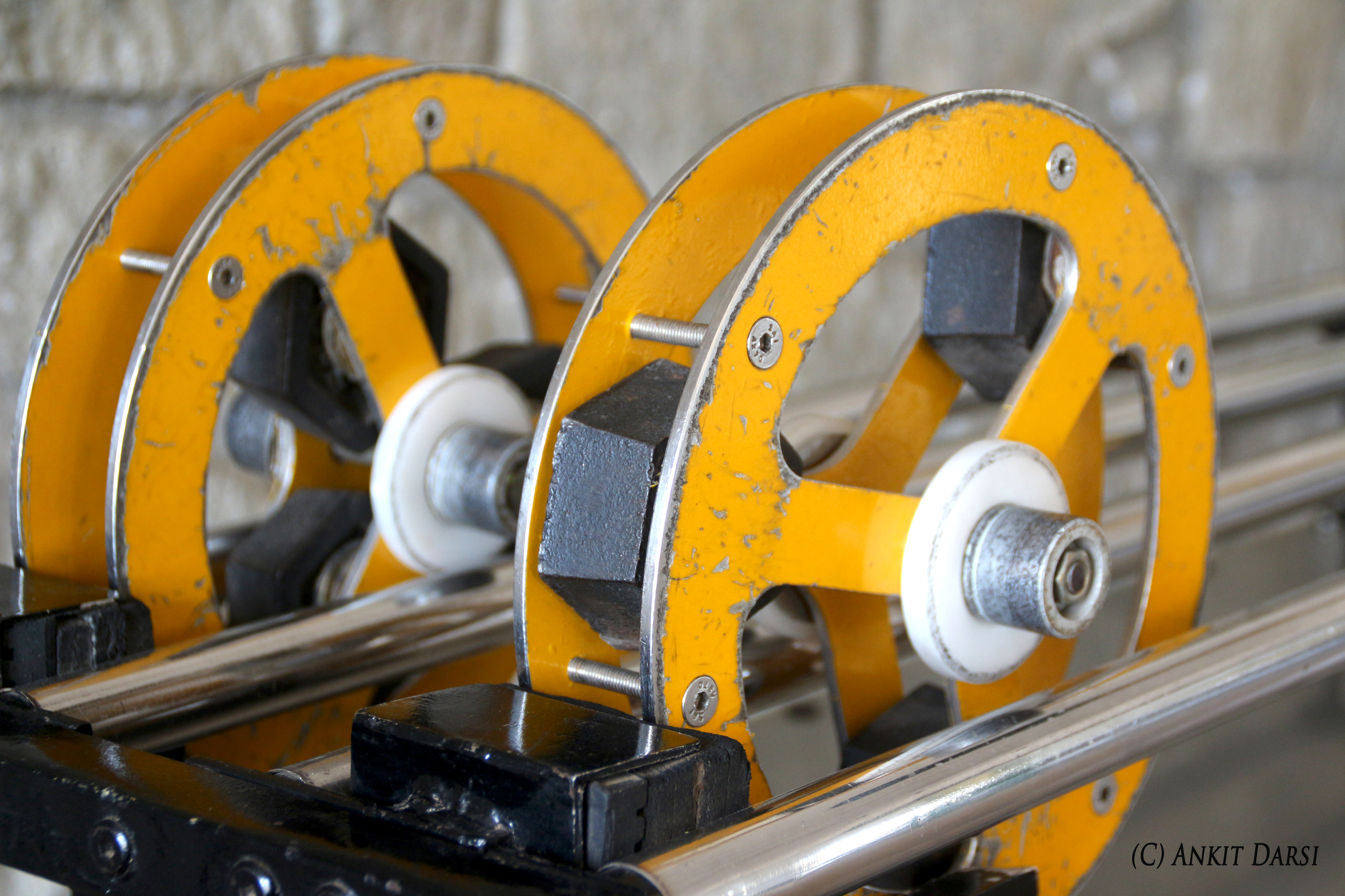
Weights & Wheels

World books series

Excavator working model
Topographic Map of Kuppam, Andhra Pradesh, India
Find elevation by address:

Places near Kuppam, Andhra Pradesh, India:
Thambigani Palli
Alphonso By The Lake Farm
Alphonso By The Lake Farm
Blooms Eco Farm
Peryathammandrapalli
Gangamadugu
Kothigutlahalli
Blooms Eco Village
Blooms Eco Village
Doddagounipalli
Bangarapet
Venkatagirikota
Amburpettai
Shoolagiri
Ambur
Kamandoddi
Peranampattu
Kolar
Kolar
Bagalur
Recent Searches:
- Elevation of S Layton Cir W, Layton, UT, USA
- Elevation of F36W+3M, Mussoorie, Uttarakhand, India
- Elevation of Fairland Ave, Fairhope, AL, USA
- Elevation of Sunset Dr, Richmond, VA, USA
- Elevation of Grodna District, Hrodna Region, Belarus
- Elevation of Hrodna, Hrodna Region, Belarus
- Elevation of Sandia Derby Estates, Tijeras, NM, USA
- Elevation of 23 Sunrise View Ct, Tijeras, NM, USA
- Elevation of Lytham Ln, Katy, TX, USA
- Elevation of Tater Hill, Oklahoma, USA