Elevation of Gangamadugu, Tamil Nadu, India
Location: India > Tamil Nadu > Krishnagiri >
Longitude: 78.1621596
Latitude: 12.746276
Elevation: 588m / 1929feet
Barometric Pressure: 94KPa
Elevation Map:
Satellite Map:
Related Photos:

Sri Veeranjanaya Swamy Brahmotsavam

Seshadri Exp.

Behind the scenes

Behind the scene

Royal Enfield

Behind the scene

Ant of steel

Steel Models

Steel Models

Stupendous ANT

Vending Boy
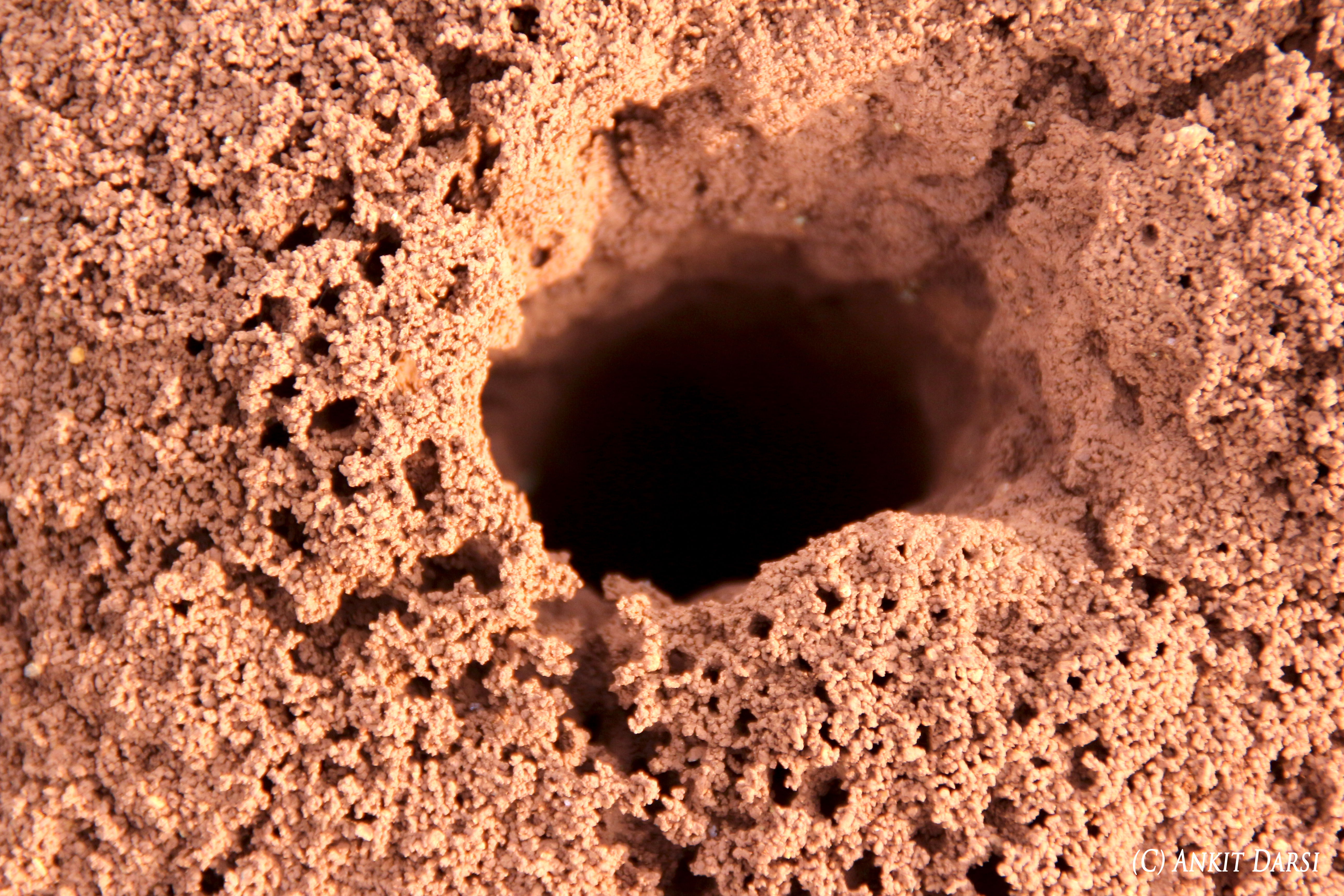
Ant-nest

Mechanical tools

World books series

Excavator working model

Meal!

@ Express Avenue
Topographic Map of Gangamadugu, Tamil Nadu, India
Find elevation by address:

Places in Gangamadugu, Tamil Nadu, India:
Places near Gangamadugu, Tamil Nadu, India:
Blooms Eco Farm
Peryathammandrapalli
Alphonso By The Lake Farm
Alphonso By The Lake Farm
Blooms Eco Village
Blooms Eco Village
Doddagounipalli
Kothigutlahalli
Shoolagiri
Kuppam
Thambigani Palli
Kamandoddi
Bangarapet
Bagalur
Avalapalli Hudco
Grt
Hosur
Hosur Municipality
Sarjapur
Kolar
Recent Searches:
- Elevation of Martins Mill Ct, Eagle Rock, NC, USA
- Elevation of Kippen, Stirling FK8, UK
- Elevation of Sieveringer Straße, Sieveringer Str., Wien, Austria
- Elevation of Bratskaya Ulitsa, 24, Kurgan, Kurganskaya oblast', Russia
- Elevation of Paradisvegen, Biri, Norway
- Elevation of Crystal Cir, Birmingham, AL, USA
- Elevation of N Railroad Ave, West Palm Beach, FL, USA
- Elevation of 55 Cassick Valley Rd, Wellfleet, MA, USA
- Elevation of Ironwood Dr, Minden, NV, USA
- Elevation of 高尾山口駅, Takaomachi, Hachioji, Tokyo -, Japan