Elevation map of Chittoor, Andhra Pradesh, India
Location: India > Andhra Pradesh >
Longitude: 79.1010442
Latitude: 13.2218054
Elevation: 302m / 991feet
Barometric Pressure: 98KPa
Elevation Map:
Satellite Map:
Related Photos:

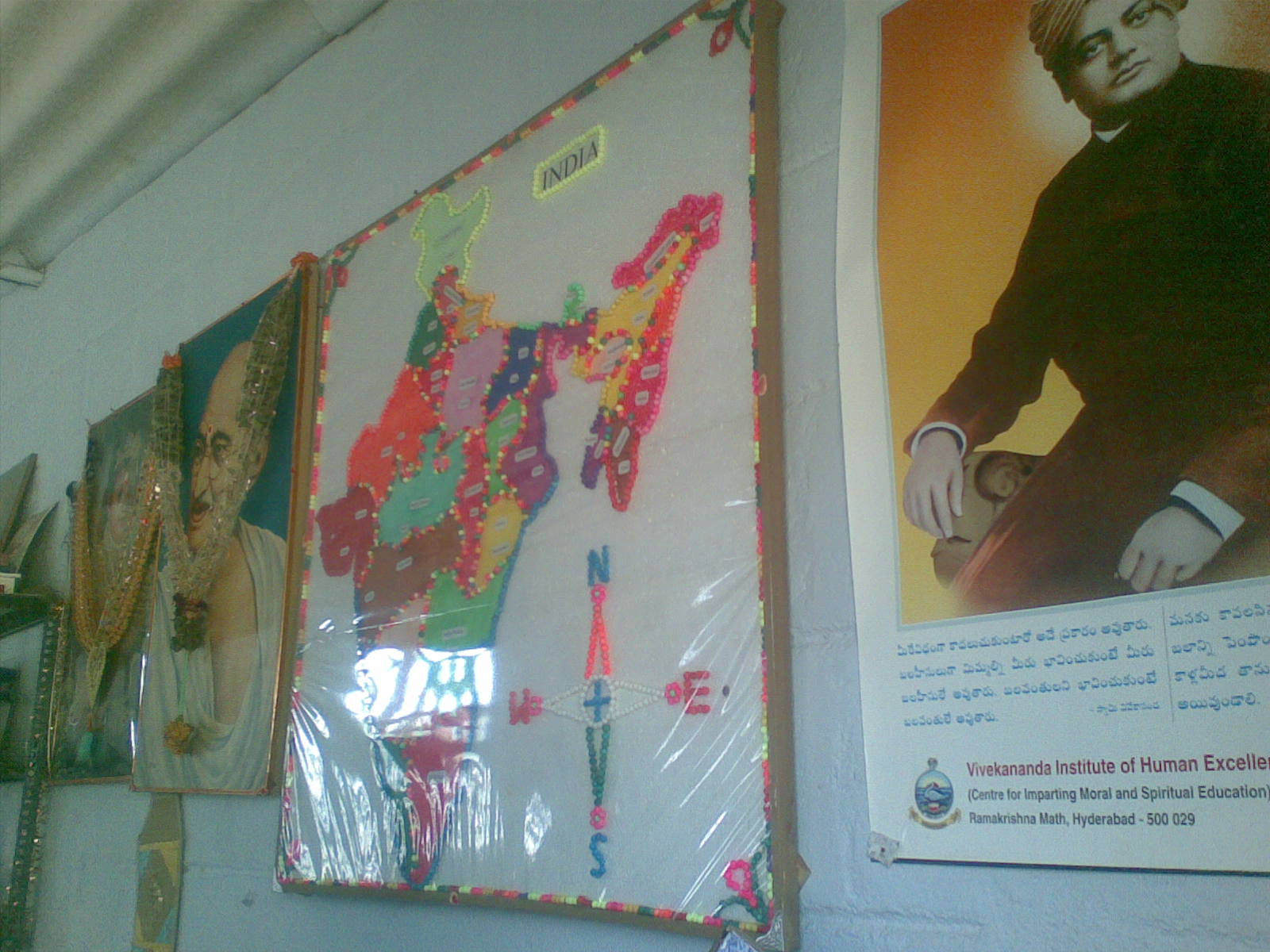
anekata me ekata bharat ki visheshata

coconut juice beating heat

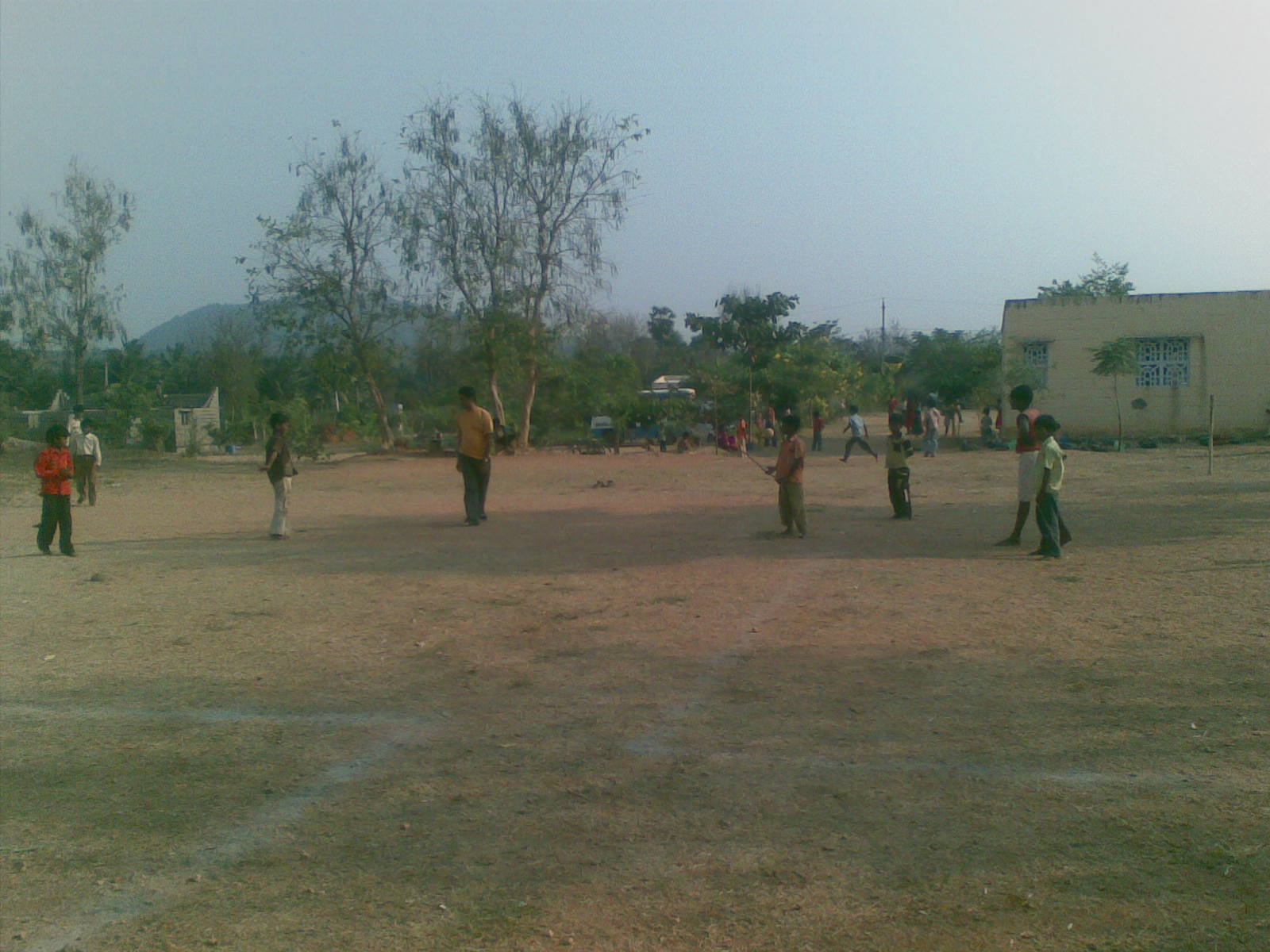
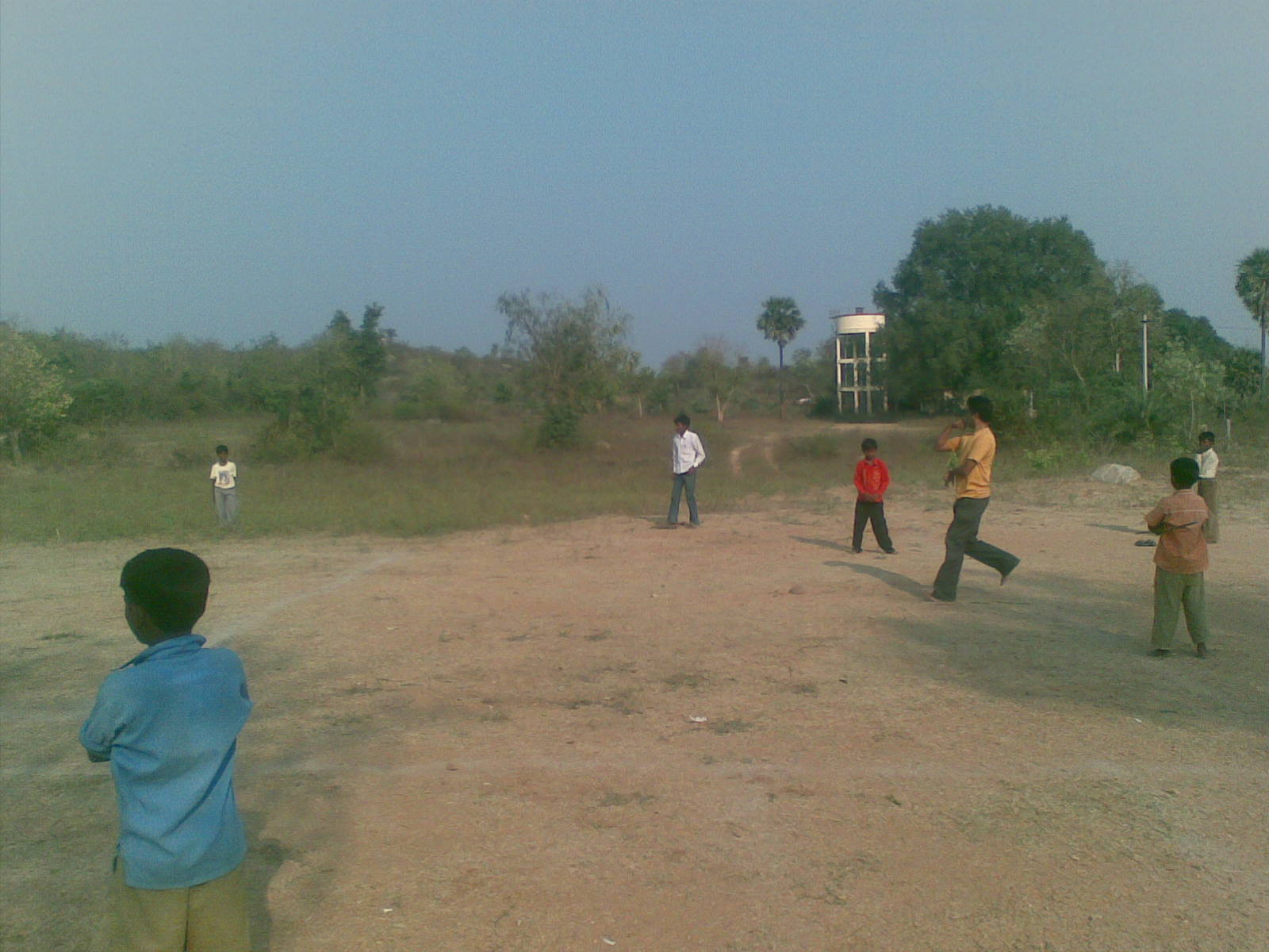
Thanks to friends for company @ chittoor

06032010(031)

06032010(030)
06032010(029)
06032010(026)

06032010(025)

06032010(018)

06032010(017)
06032010(016)
06032010(015)

06032010(013)

06032010(012)

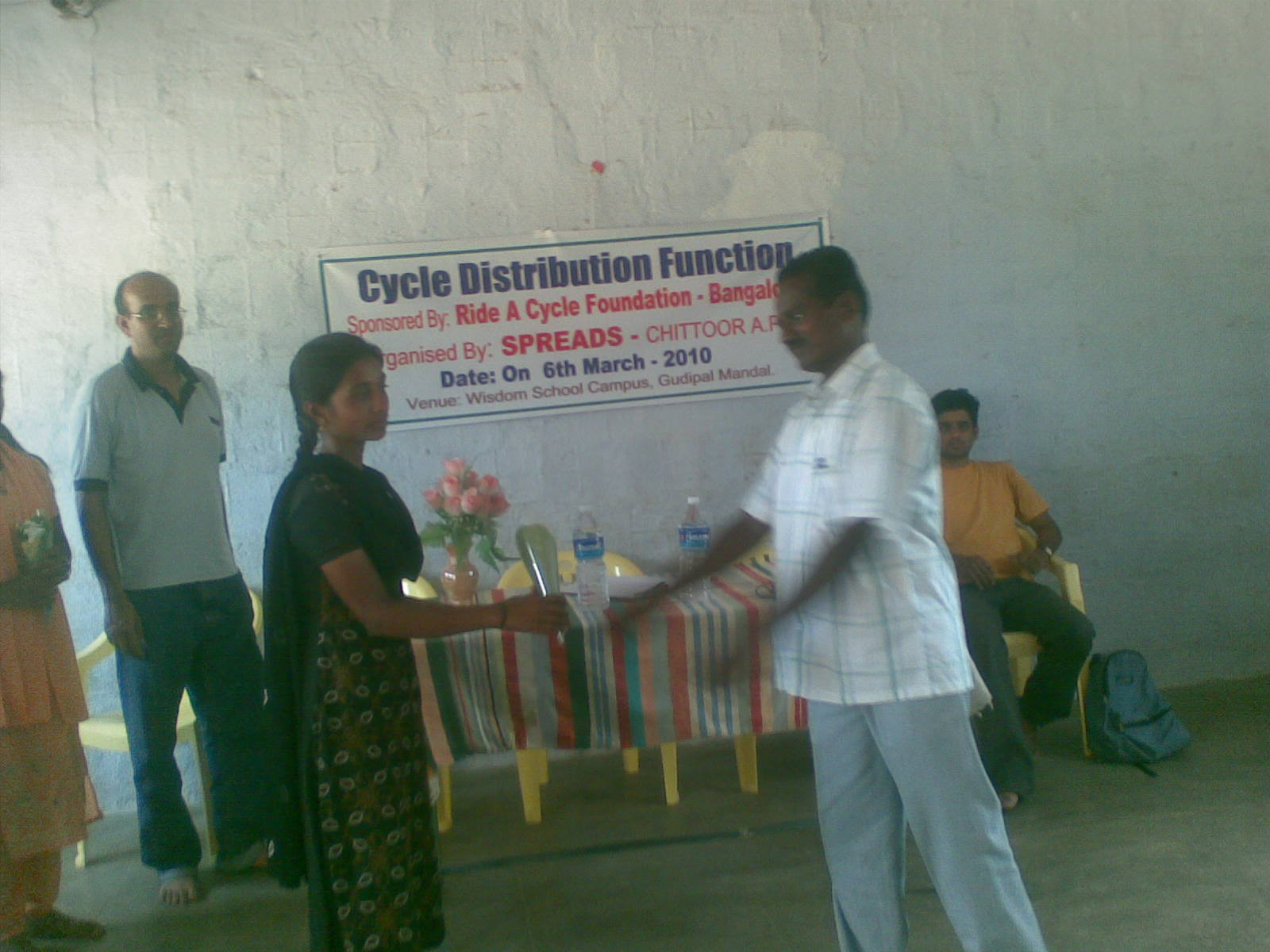
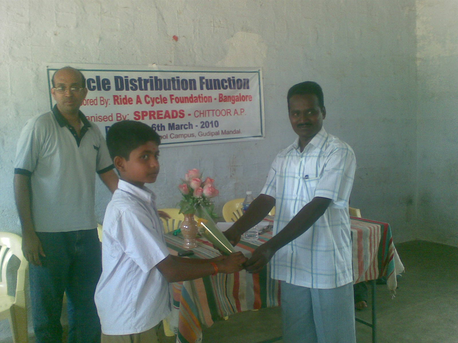
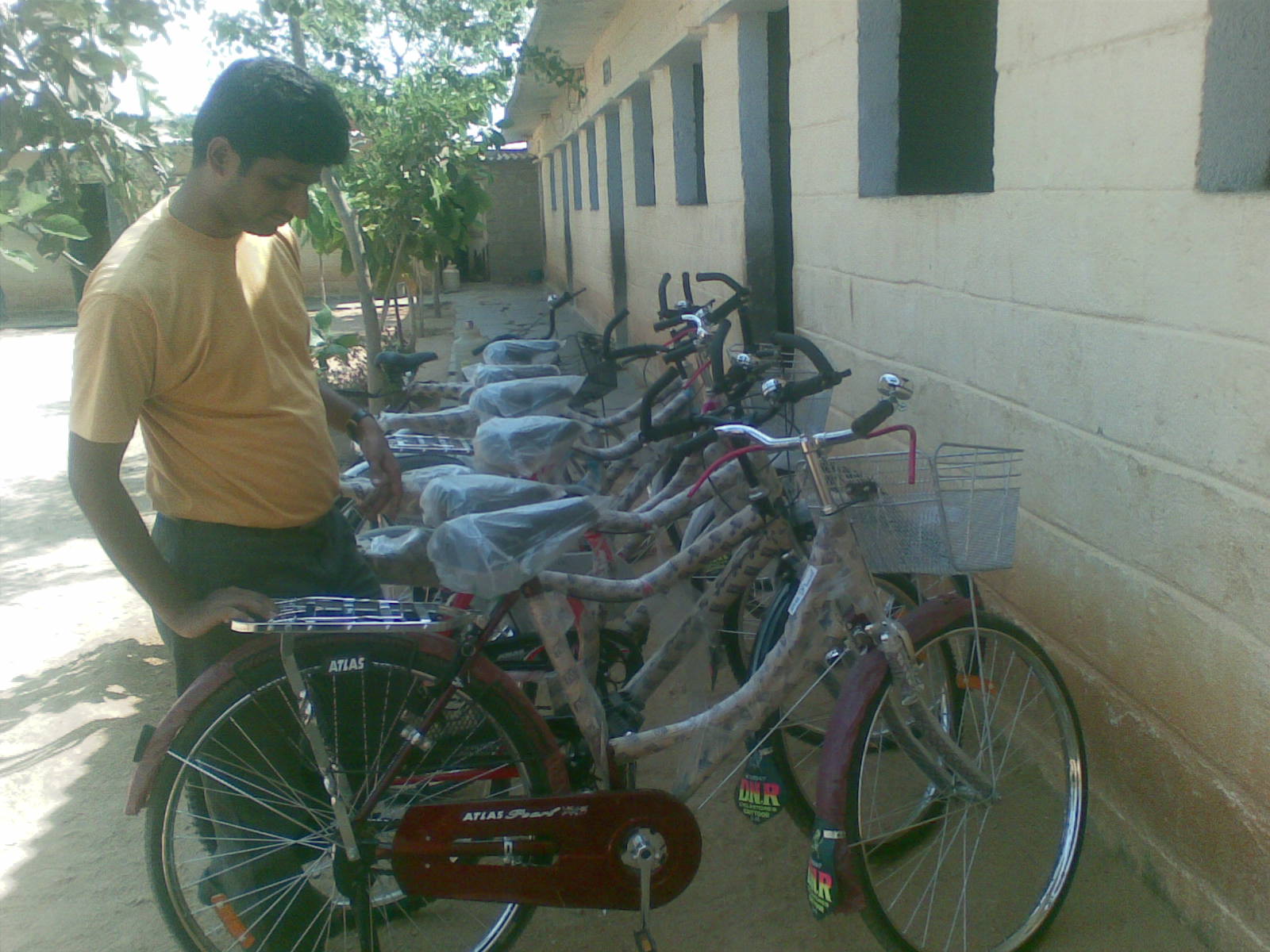
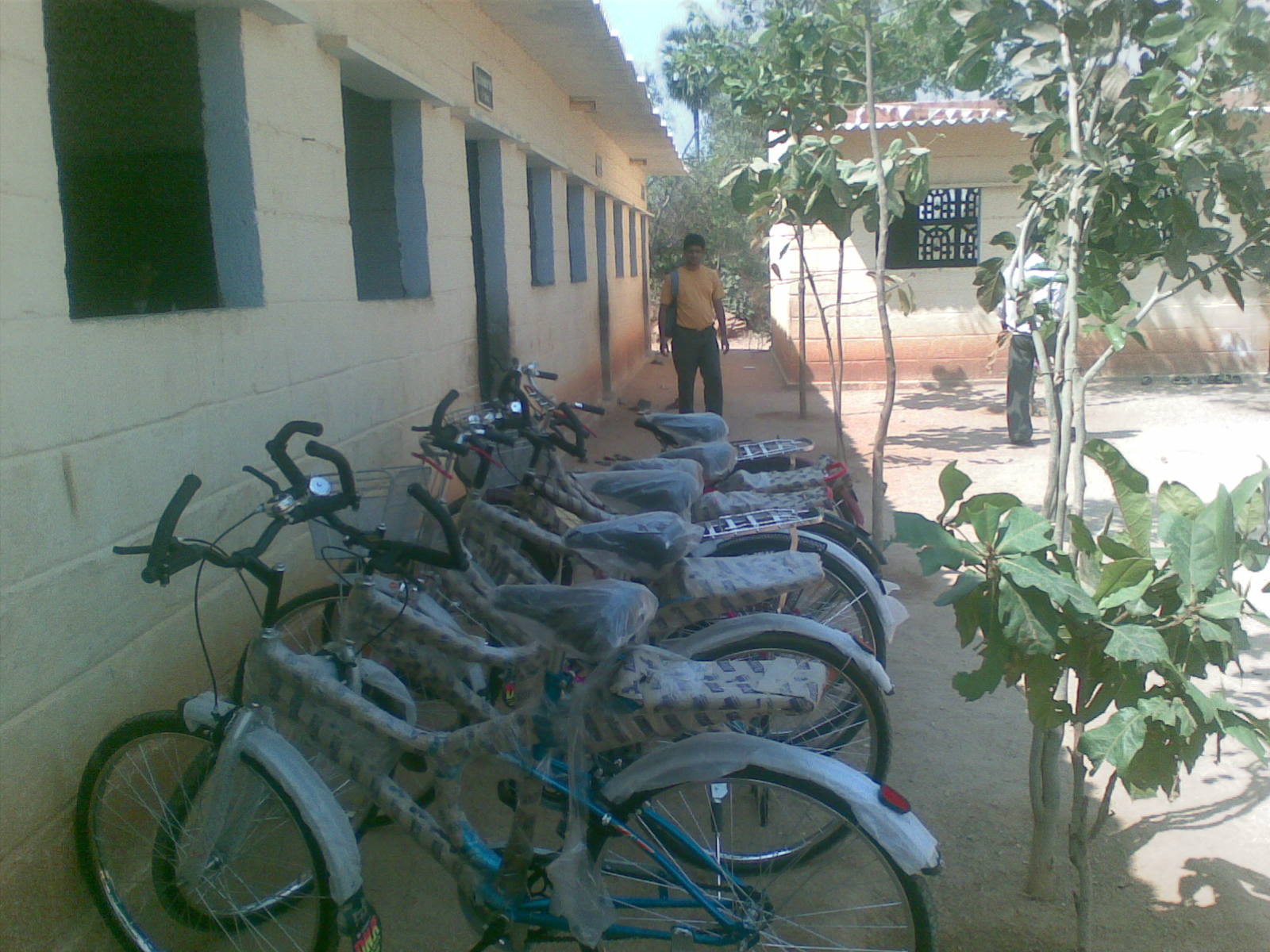
Mr. sastry from ILP talking to the students at the cycle donation programme
06032010(006)
06032010(004)
06032010(003)

06032010(002)
Chittoor, INDIA

Chittoor, INDIA
Topographic Map of Chittoor, Andhra Pradesh, India
Find elevation by address:

Places in Chittoor, Andhra Pradesh, India:
Tirupati
Madanapalle
Theneegalavaripalle
Ramasamudram
Chembakur
Nimmanapalli
Chittoor
Palamaner
Kuppam
Horsley Hills
Pileru
Venkatagirikota
Gundugallu
Kandukuru
Thambigani Palli
Balupalle
Kothakota
Nagapatla
Tp Road - Konaguntlapalli Road
Places near Chittoor, Andhra Pradesh, India:
Chittoor
Kothakota
Mahimandalam
Mahimandalam Fort
Elayanellore
Vellore
Vellore
Nagapatla
Pileru
Kalyani Dam
Kalyani Dam
Kannamangalam
Thiruthani
Tirupati
Reservoir Colony
Tirupati Temple Andhra
Tirumala
Sri Venkateswara Swamy Vaari Temple
Tirumala Tirupati Devasthanams
Arani
Recent Searches:
- Elevation of Jadagoniai, Kaunas District Municipality, Lithuania
- Elevation of Pagonija rock, Kranto 7-oji g. 8"N, Kaunas, Lithuania
- Elevation of Co Rd 87, Jamestown, CO, USA
- Elevation of Tenjo, Cundinamarca, Colombia
- Elevation of Côte-des-Neiges, Montreal, QC H4A 3J6, Canada
- Elevation of Bobcat Dr, Helena, MT, USA
- Elevation of Zu den Ihlowbergen, Althüttendorf, Germany
- Elevation of Badaber, Peshawar, Khyber Pakhtunkhwa, Pakistan
- Elevation of SE Heron Loop, Lincoln City, OR, USA
- Elevation of Slanický ostrov, 01 Námestovo, Slovakia