Elevation of Chittoor, Andhra Pradesh, India
Location: India > Andhra Pradesh > Chittoor >
Longitude: 79.1003289
Latitude: 13.217176
Elevation: 310m / 1017feet
Barometric Pressure: 98KPa
Elevation Map:
Satellite Map:
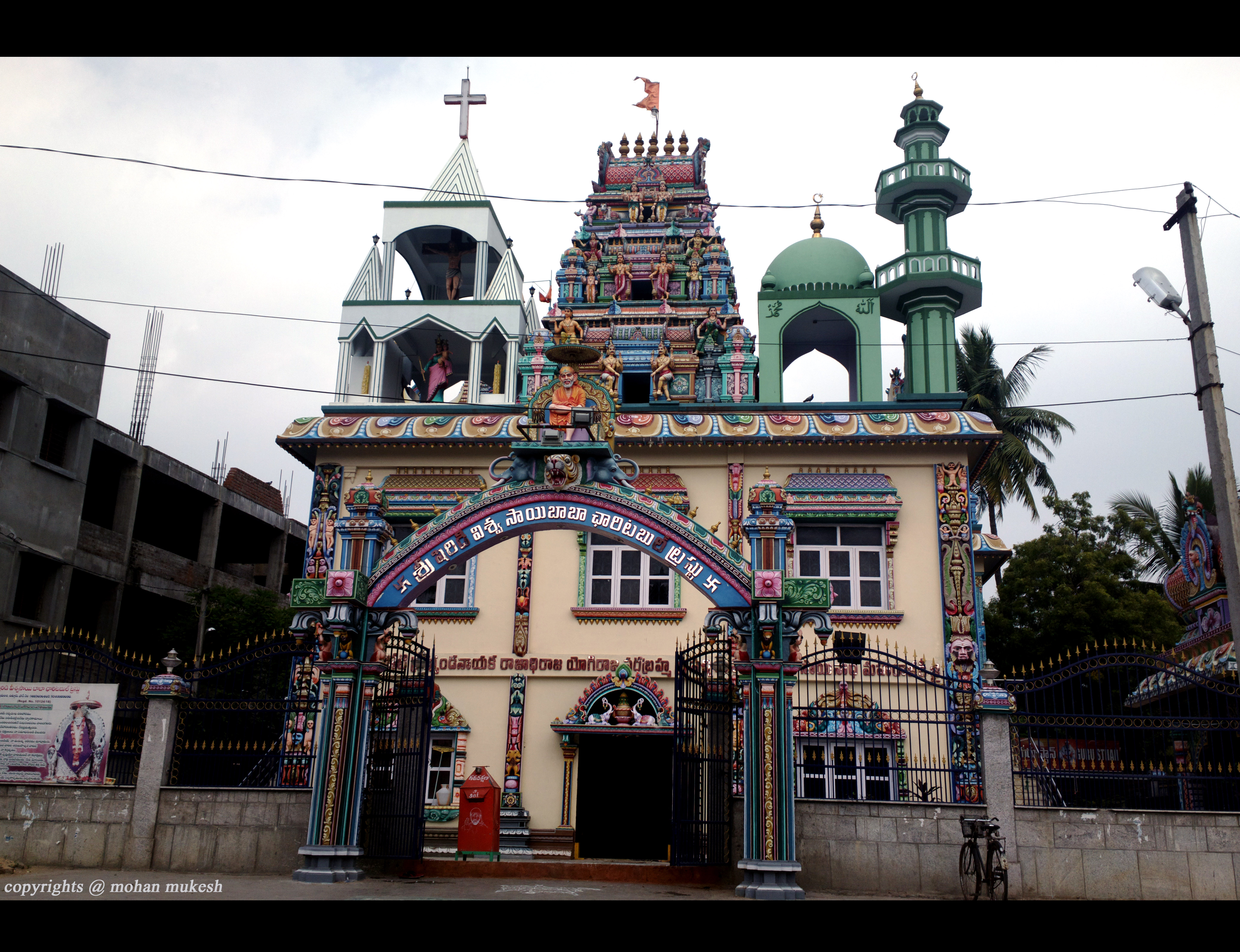
Related Photos:

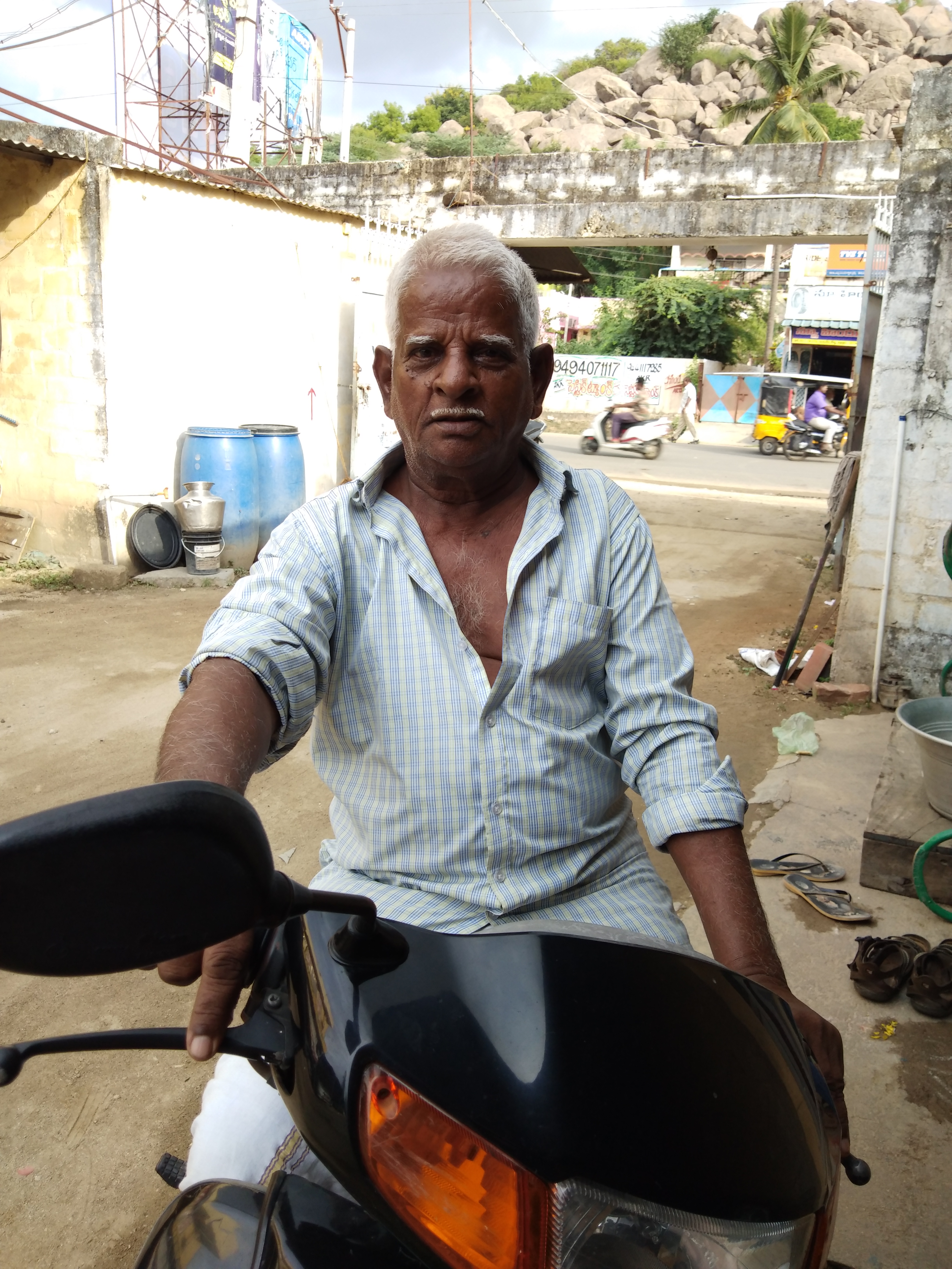
Ramapuram

????Honey's Alubm.

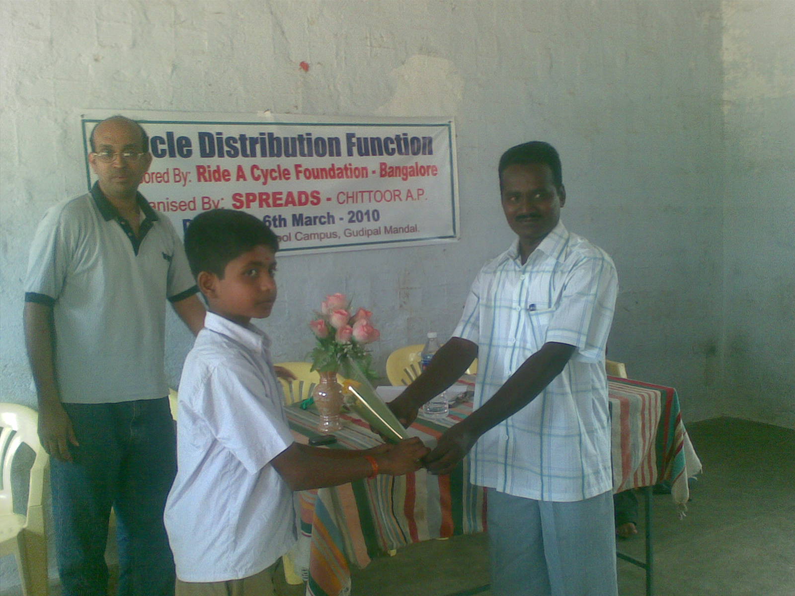
06032010(018)

06032010(017)

????Honey's Alubm.

????Honey's Alubm.

????Honey's Alubm.
????Honey's Alubm.

????Honey's Alubm.

????Honey's Alubm.

????Honey's Alubm.
anekata me ekata bharat ki visheshata

coconut juice beating heat

1 June 13

Thanks to friends for company @ chittoor

06032010(031)

06032010(030)

06032010(025)
06032010(015)

06032010(014)

06032010(013)

06032010(012)
Topographic Map of Chittoor, Andhra Pradesh, India
Find elevation by address:

Places near Chittoor, Andhra Pradesh, India:
Chittoor
Mahimandalam
Kothakota
Mahimandalam Fort
Elayanellore
Vellore
Vellore
Nagapatla
Pileru
Kannamangalam
Kalyani Dam
Kalyani Dam
Thiruthani
Tirupati
Reservoir Colony
Tirupati Temple Andhra
Tirumala
Sri Venkateswara Swamy Vaari Temple
Tirumala Tirupati Devasthanams
Arani
Recent Searches:
- Elevation of W Granada St, Tampa, FL, USA
- Elevation of Pykes Down, Ivybridge PL21 0BY, UK
- Elevation of Jalan Senandin, Lutong, Miri, Sarawak, Malaysia
- Elevation of Bilohirs'k
- Elevation of 30 Oak Lawn Dr, Barkhamsted, CT, USA
- Elevation of Luther Road, Luther Rd, Auburn, CA, USA
- Elevation of Unnamed Road, Respublika Severnaya Osetiya — Alaniya, Russia
- Elevation of Verkhny Fiagdon, North Ossetia–Alania Republic, Russia
- Elevation of F. Viola Hiway, San Rafael, Bulacan, Philippines
- Elevation of Herbage Dr, Gulfport, MS, USA