Elevation of Kumbharkhani Kh., Maharashtra, India
Location: India > Maharashtra > Ratnagiri >
Longitude: 73.506402
Latitude: 17.2190944
Elevation: 254m / 833feet
Barometric Pressure: 98KPa
Elevation Map:
Satellite Map:
Related Photos:

View of a holiday special train crossing Shastri Viaduct.

Gad River Viaduct

CSP_6054.JPG

CSP_6040.JPG

CSP_6057.JPG

CSP_6060.JPG

CSP_6036.JPG

CSP_6038.JPG

CSP_6042.JPG

CSP_6059.JPG

CSP_6037.JPG

CSP_6058.JPG

CSP_6041.JPG

CSP_6048.JPG

CSP_6046.JPG

CSP_6035.JPG

CSP_6039.JPG

CSP_6034.JPG
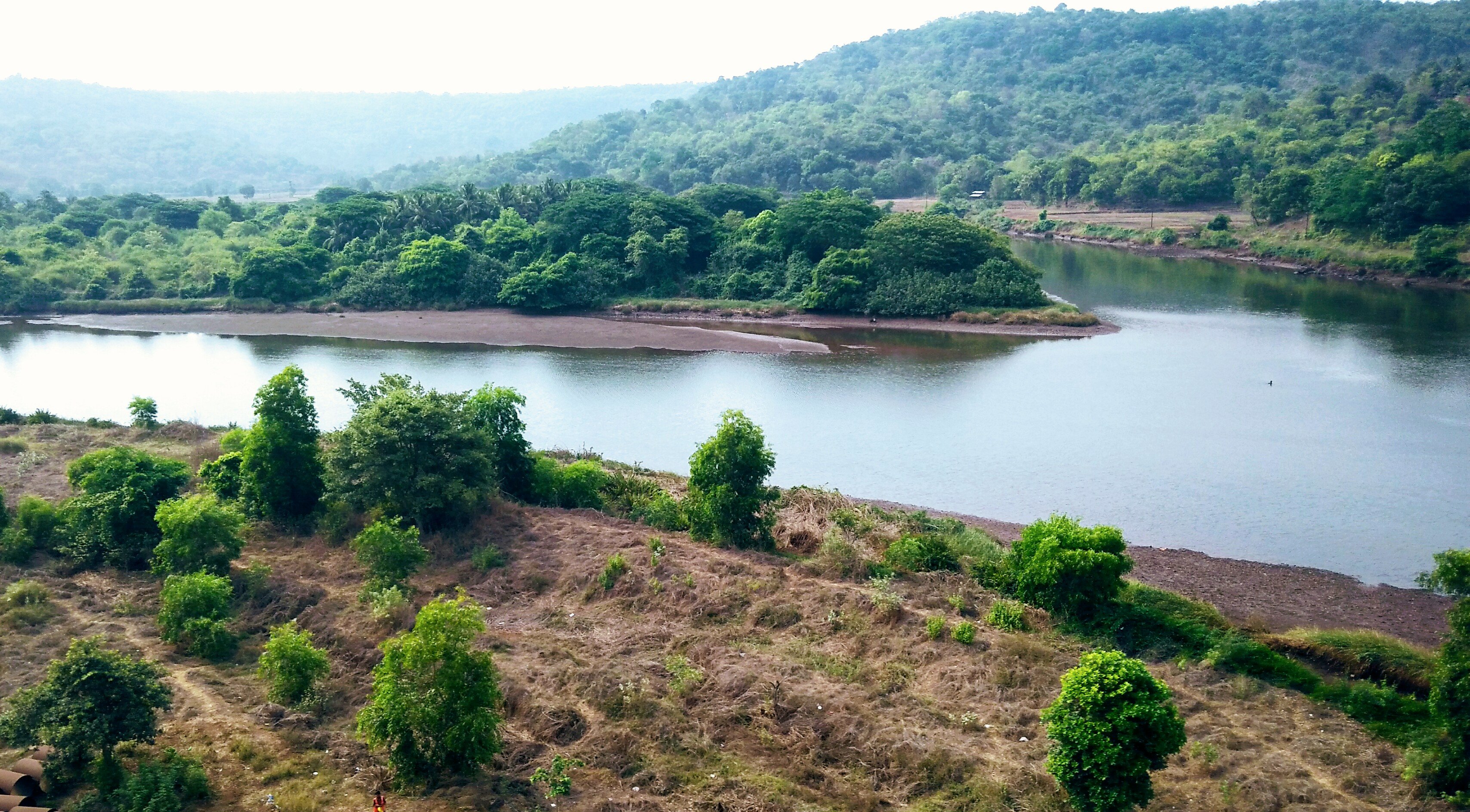
River Bav

River Junction
Topographic Map of Kumbharkhani Kh., Maharashtra, India
Find elevation by address:

Places near Kumbharkhani Kh., Maharashtra, India:
Ambedu Kh.
Sangameshwar
Kurdhunda Kh.
Kurdhunda
Aravali
Aravali Road Railway Station
Ambedu Bk.
Murdav
Kumbhar Khani Bk.
Musalman Wadi
Ratnagiri
Asurde
Nive Bk.
Tamhane Kh.
Ozare Kh.
Malapwadi
Devrukh
Patharpunj
Belari Bk.
Mala
Recent Searches:
- Elevation of Lampiasi St, Sarasota, FL, USA
- Elevation of Elwyn Dr, Roanoke Rapids, NC, USA
- Elevation of Congressional Dr, Stevensville, MD, USA
- Elevation of Bellview Rd, McLean, VA, USA
- Elevation of Stage Island Rd, Chatham, MA, USA
- Elevation of Shibuya Scramble Crossing, 21 Udagawacho, Shibuya City, Tokyo -, Japan
- Elevation of Jadagoniai, Kaunas District Municipality, Lithuania
- Elevation of Pagonija rock, Kranto 7-oji g. 8"N, Kaunas, Lithuania
- Elevation of Co Rd 87, Jamestown, CO, USA
- Elevation of Tenjo, Cundinamarca, Colombia