Elevation of Aravali, Murdav, Maharashtra, India
Location: India > Maharashtra > Ratnagiri > Murdav >
Longitude: 73.5270189
Latitude: 17.3095782
Elevation: 34m / 112feet
Barometric Pressure: 101KPa
Elevation Map:
Satellite Map:
Related Photos:

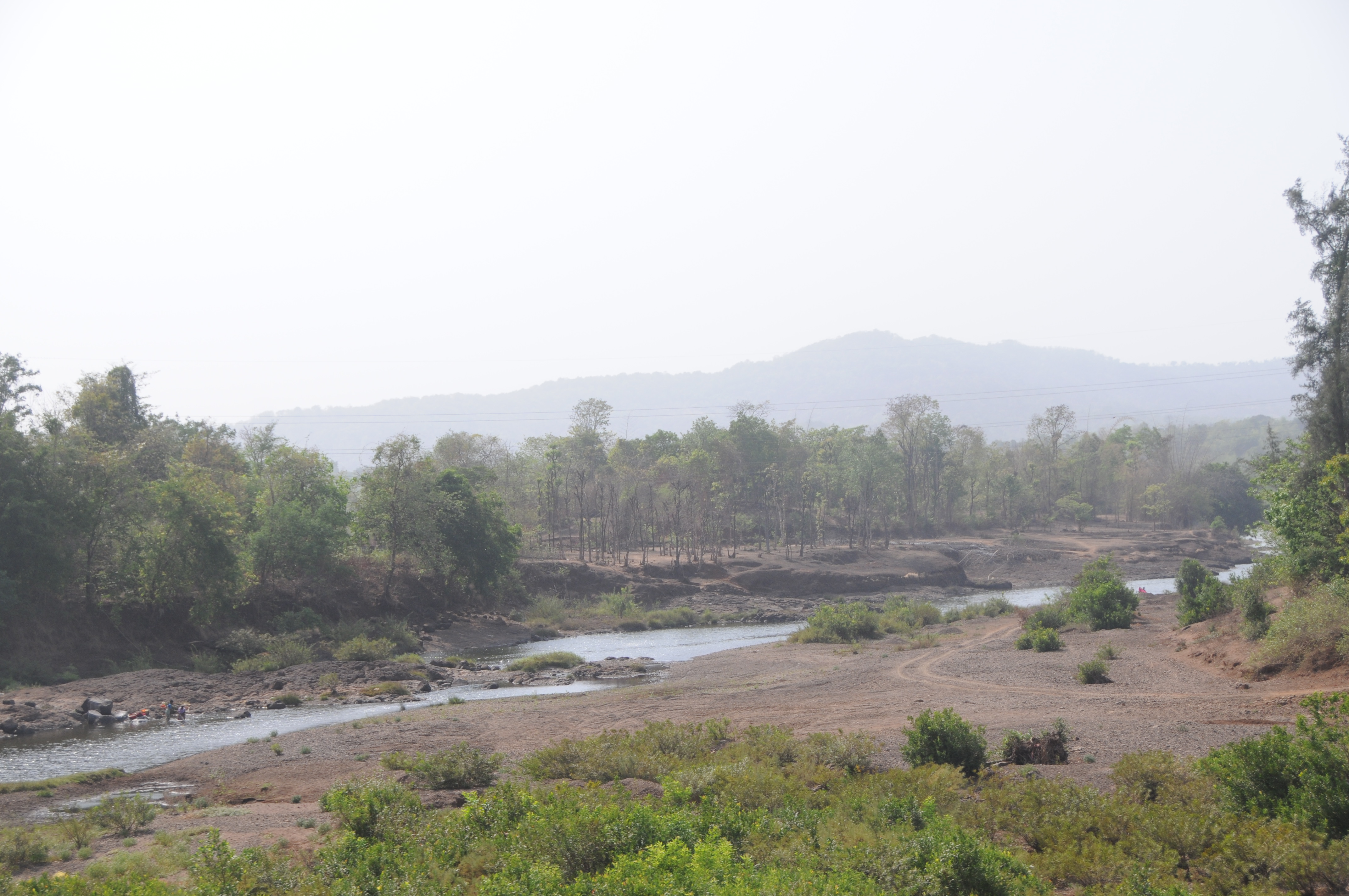
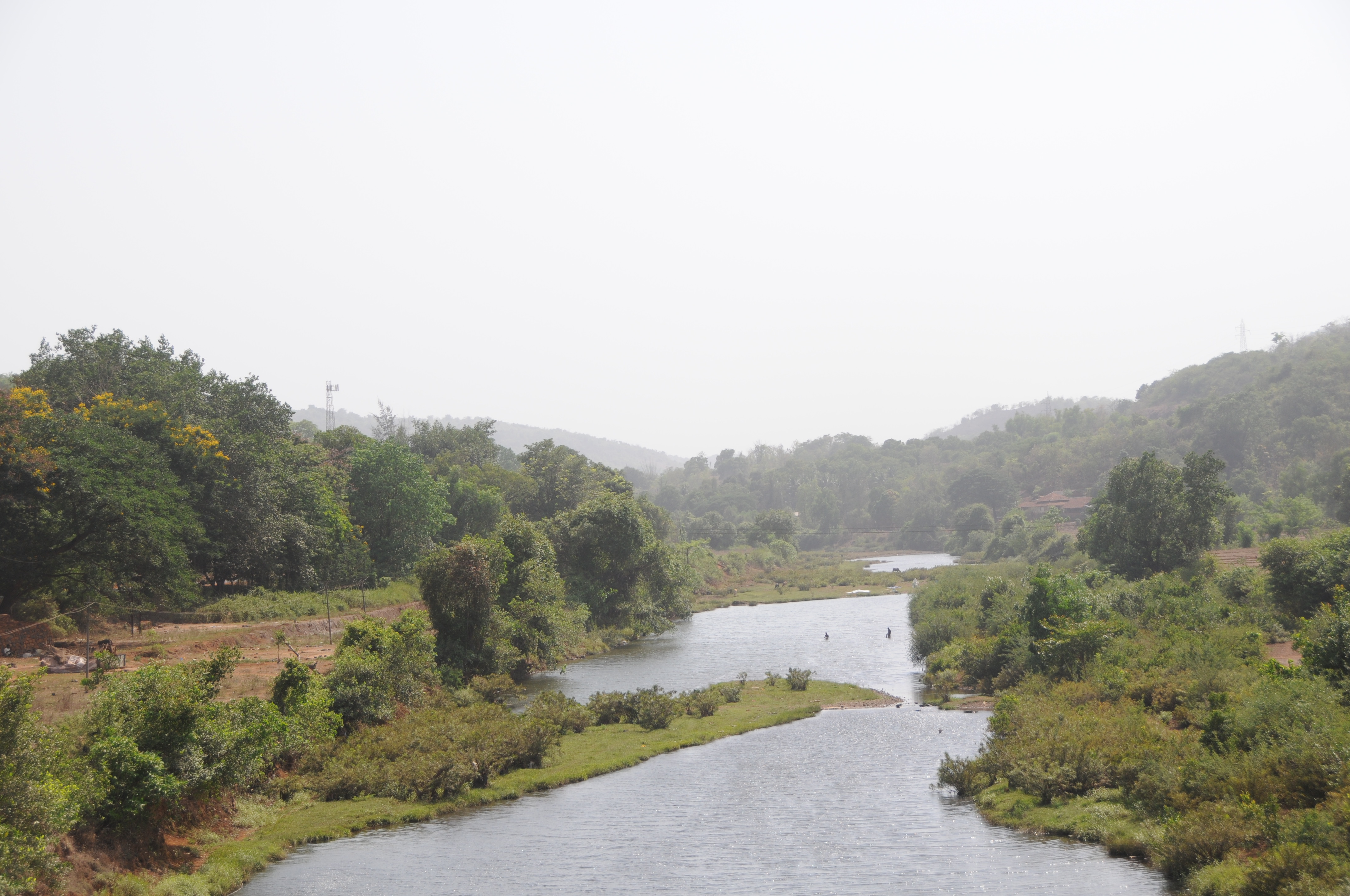
Gad River Viaduct

CSP_6054.JPG
CSP_6060.JPG

CSP_6057.JPG

CSP_6040.JPG
CSP_6038.JPG

CSP_6042.JPG

CSP_6036.JPG

CSP_6039.JPG

CSP_6041.JPG

CSP_6048.JPG

CSP_6046.JPG

CSP_6058.JPG
CSP_6059.JPG
Topographic Map of Aravali, Murdav, Maharashtra, India
Find elevation by address:

Places near Aravali, Murdav, Maharashtra, India:
Aravali Road Railway Station
Murdav
Kumbhar Khani Bk.
Asurde
Patharpunj
Ghatmatha
Nechal
Waghane
Bopoli
Mala
Mendheghar
Shivandeshwar
Nav
Koyananagar
Rasati
Kadoli
Vanzole
Chafer
Nanel
Humbarne
Recent Searches:
- Elevation of Tater Hill, Oklahoma, USA
- Elevation of NY-, Friendship, NY, USA
- Elevation of 64 Danakas Dr, Winnipeg, MB R2C 5N7, Canada
- Elevation of 4 Vale Rd, Sheffield S3 9QX, UK
- Elevation of Keene Point Drive, Keene Point Dr, Grant, AL, USA
- Elevation of State St, Zanesville, OH, USA
- Elevation of Austin Stone Dr, Haslet, TX, USA
- Elevation of Bydgoszcz, Poland
- Elevation of Bydgoszcz, Poland
- Elevation of Calais Dr, Del Mar, CA, USA