Elevation of Devrukh, Maharashtra, India
Location: India > Maharashtra > Ratnagiri >
Longitude: 73.6241855
Latitude: 17.0686039
Elevation: 176m / 577feet
Barometric Pressure: 99KPa
Elevation Map:
Satellite Map:
Related Photos:

CSP_6040.JPG

CSP_6057.JPG
CSP_6038.JPG

CSP_6042.JPG

CSP_6054.JPG

CSP_6036.JPG

CSP_6039.JPG

CSP_6041.JPG

CSP_6058.JPG

CSP_6048.JPG

CSP_6046.JPG
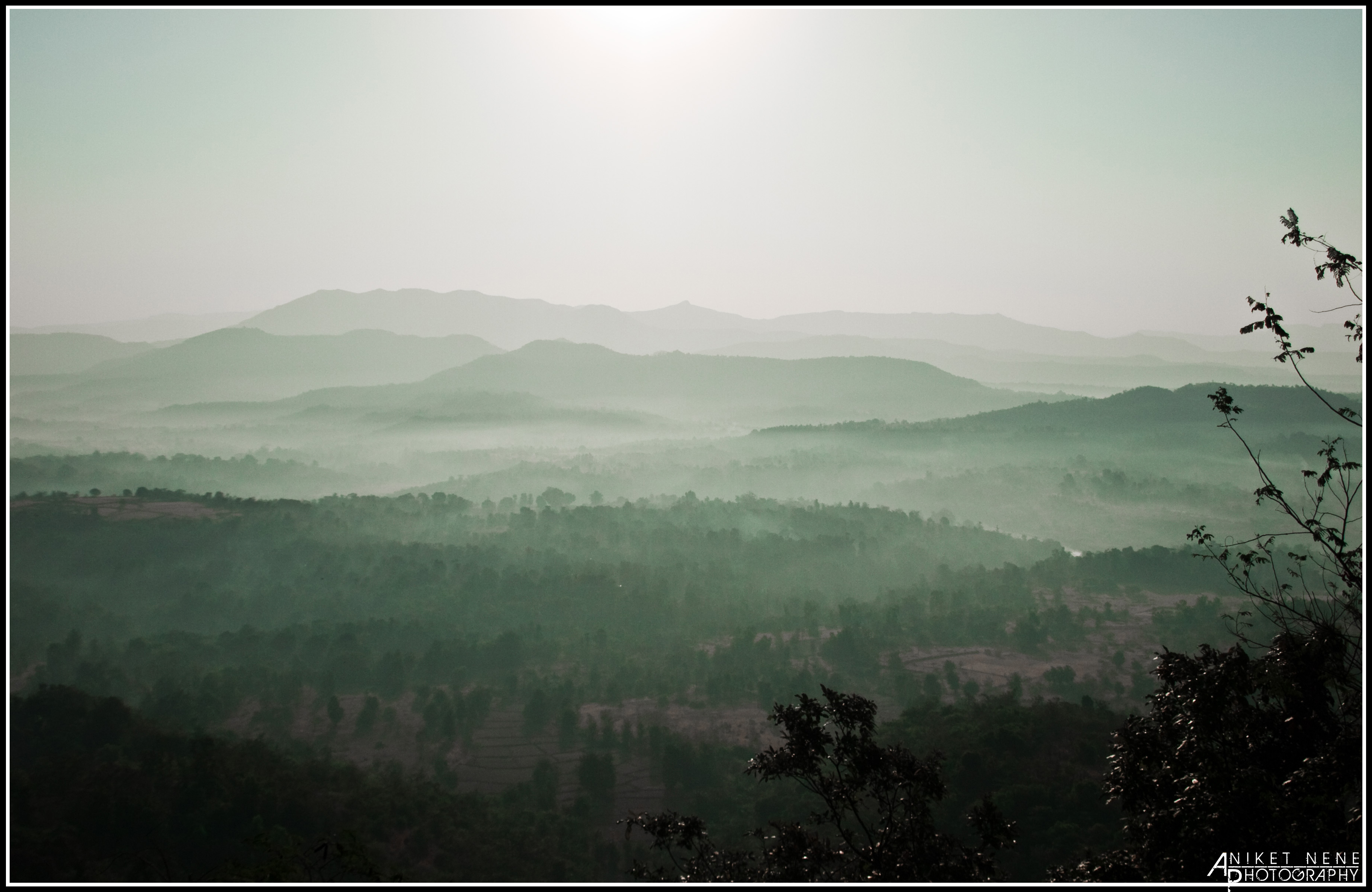
Dhabhole Ghat,
Topographic Map of Devrukh, Maharashtra, India
Find elevation by address:

Places near Devrukh, Maharashtra, India:
Ozare Kh.
Tamhane Kh.
Vanzole Kh.
Belari Bk.
Nive Kh.
Belari Kh.
Morde
Vanzole Bk.
Nive Bk.
Dabhole Bk.
Kondgaon Kh.
Sakharpa
Kondgaon
Dabhole Kh.
Marleshwar Shiva Temple
Marleshwar Waterfall
Borivale
Musalman Wadi
Sakharpa Kh.
Ghativale
Recent Searches:
- Elevation of Lalagbene, Bayelsa, Nigeria
- Elevation of Ogbosuware Health Centre, 2WWJ+4PJ, Lalagbene, Bayelsa, Nigeria
- Elevation of Duckhorn Ct, Las Vegas, NV, USA
- Elevation of Garretts Run Rd, Ford City, PA, USA
- Elevation of N WI-55, Freedom, WI, USA
- Elevation map of Hadiya, Ethiopia
- Elevation of Hosaina, Ethiopia
- Elevation of Verde Terrace, North Port, FL, USA
- Elevation of US-, Leesburg, FL, USA
- Elevation of Summit Dr, Kerrville, TX, USA