Elevation of Kondgaon Kh., Maharashtra, India
Location: India > Maharashtra > Ratnagiri >
Longitude: 73.6742232
Latitude: 16.9840074
Elevation: 105m / 344feet
Barometric Pressure: 100KPa
Elevation Map:
Satellite Map:
Related Photos:

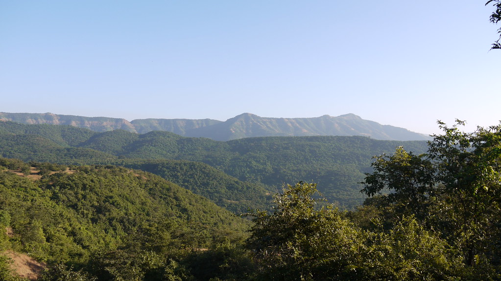
... a view from Amba Sada

... a view from Amba Sada

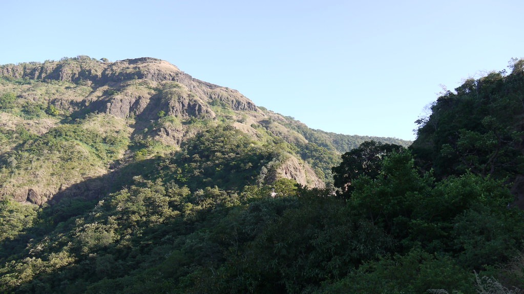
... a view from Kokan Kada point

... a view from Kokan Kada point

... a view from Kokan Kada point

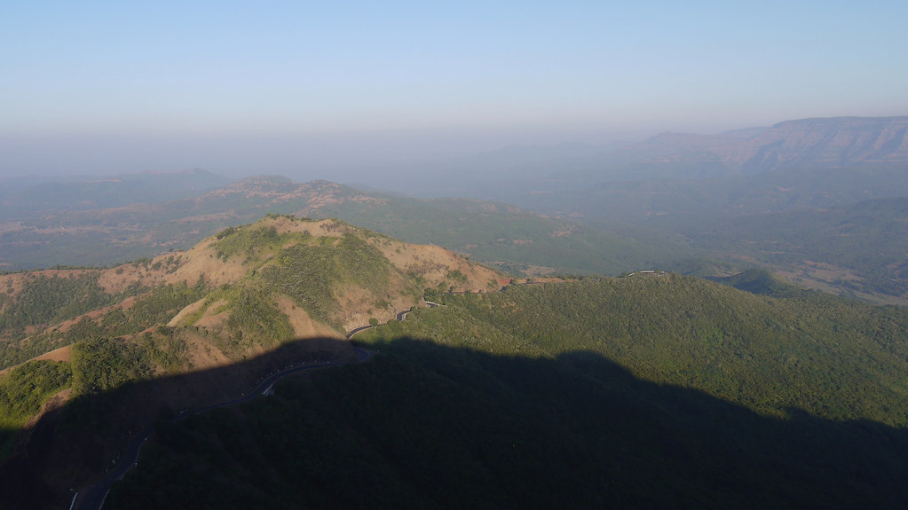
... view from Amba Sada

... Amba Ghat viewed from Sada

... Amba Ghat viewed from Sada

... viewed from Amba Ghat

... a view from Amba Ghat

... a view from Amba Ghat
... a view from Amba Ghat

... a view from Amba Ghat

... a view from Amba Ghat
... a view from Amba Ghat

... a view from Amba Ghat

... a view from Amba Ghat
... view from Amba Sada

... view from Amba Sada

... Amba Ghat viewed from Sada

... Amba Ghat viewed from Sada

... Manoli Dam Reservoir

... Amba Ghat on NH 204

... Amba Sada

... Amba Sada

... Amba Sada

... Amba Sada

Dhabhole Ghat,

... Amba Sada

... Amba Sada

... flowers of grass

... Amba Ghat on NH 204

... Amba Ghat on NH 204
Topographic Map of Kondgaon Kh., Maharashtra, India
Find elevation by address:

Places near Kondgaon Kh., Maharashtra, India:
Kondgaon
Sakharpa
Morde
Vanzole Bk.
Kochari
Vanzole Kh.
Dabhole Bk.
Sakharpa Kh.
Borivale
Machal
Dabhole Kh.
Kurchumb
Chalanwadi
Adavali
Adavali
Ambaghat
Amba Ghat
Ghativale
Amba
Beni Kh.
Recent Searches:
- Elevation of Woodland Oak Pl, Thousand Oaks, CA, USA
- Elevation of Brownsdale Rd, Renfrew, PA, USA
- Elevation of Corcoran Ln, Suffolk, VA, USA
- Elevation of Mamala II, Sariaya, Quezon, Philippines
- Elevation of Sarangdanda, Nepal
- Elevation of 7 Waterfall Way, Tomball, TX, USA
- Elevation of SW 57th Ave, Portland, OR, USA
- Elevation of Crocker Dr, Vacaville, CA, USA
- Elevation of Pu Ngaol Community Meeting Hall, HWHM+3X7, Krong Saen Monourom, Cambodia
- Elevation of Royal Ontario Museum, Queens Park, Toronto, ON M5S 2C6, Canada