Elevation of Kurchumb, Maharashtra, India
Location: India > Maharashtra > Ratnagiri >
Longitude: 73.6035782
Latitude: 16.9381728
Elevation: 78m / 256feet
Barometric Pressure: 100KPa
Elevation Map:
Satellite Map:
Related Photos:
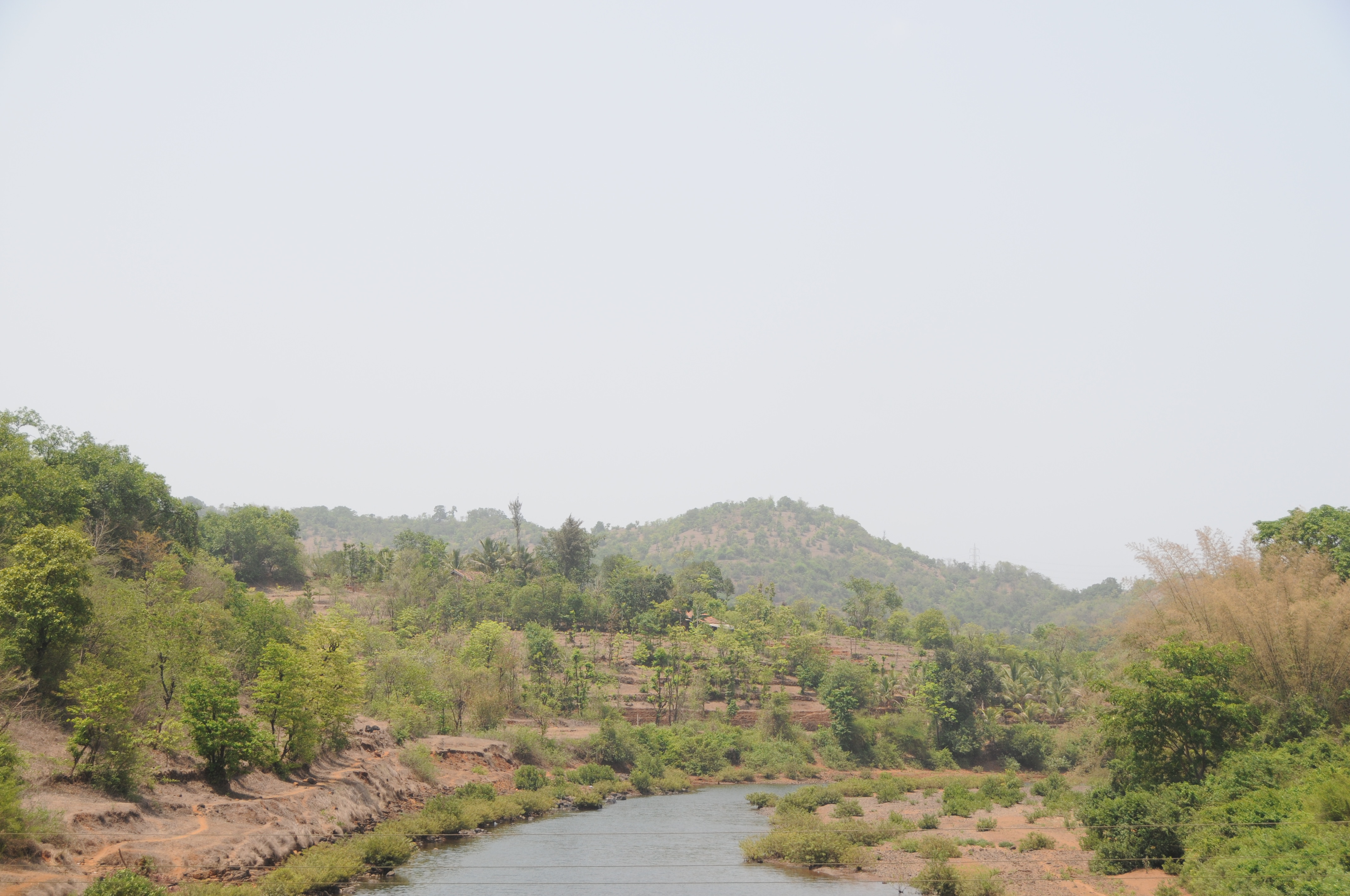
CSP_6018.JPG
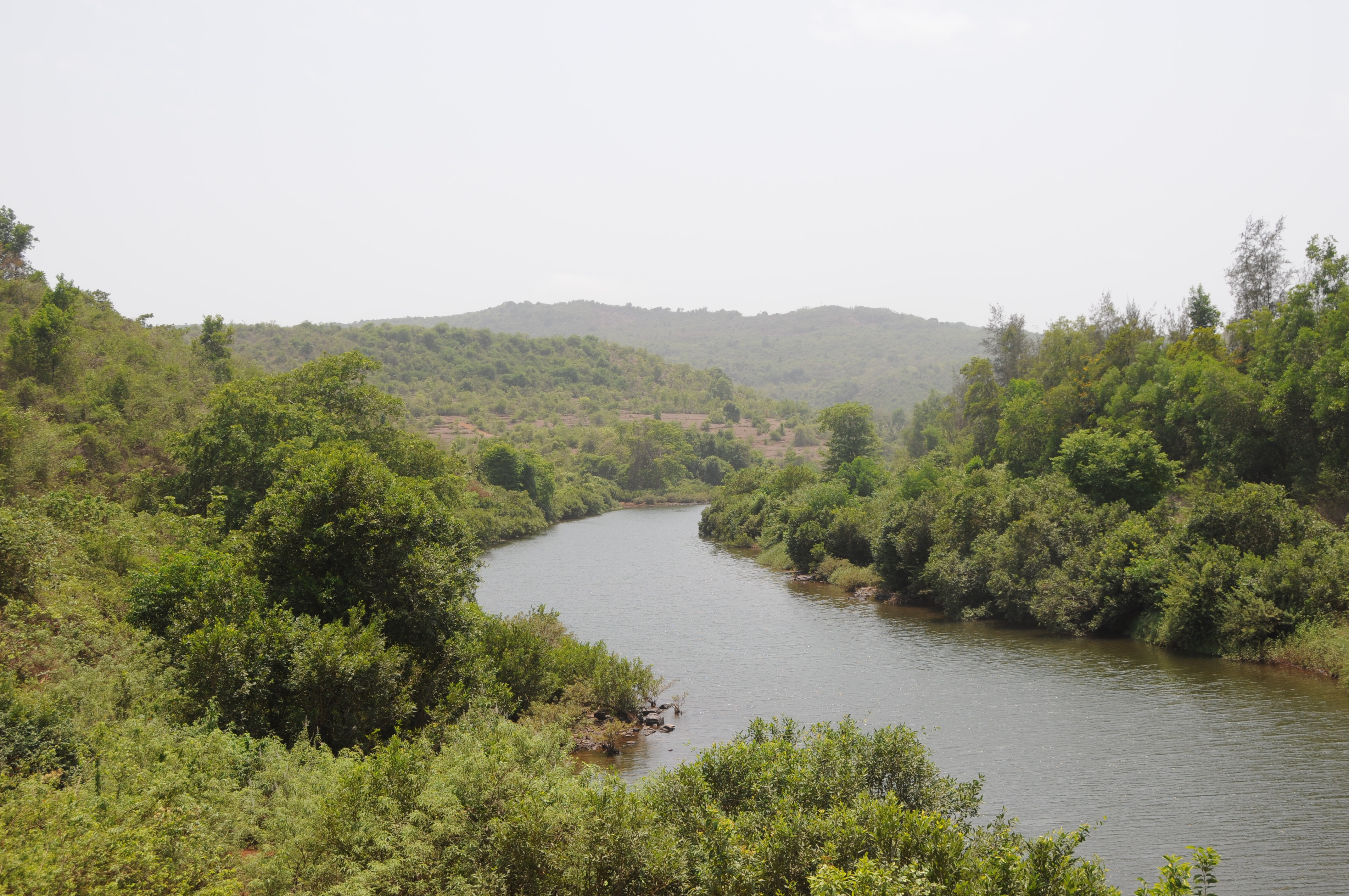
CSP_6016.JPG
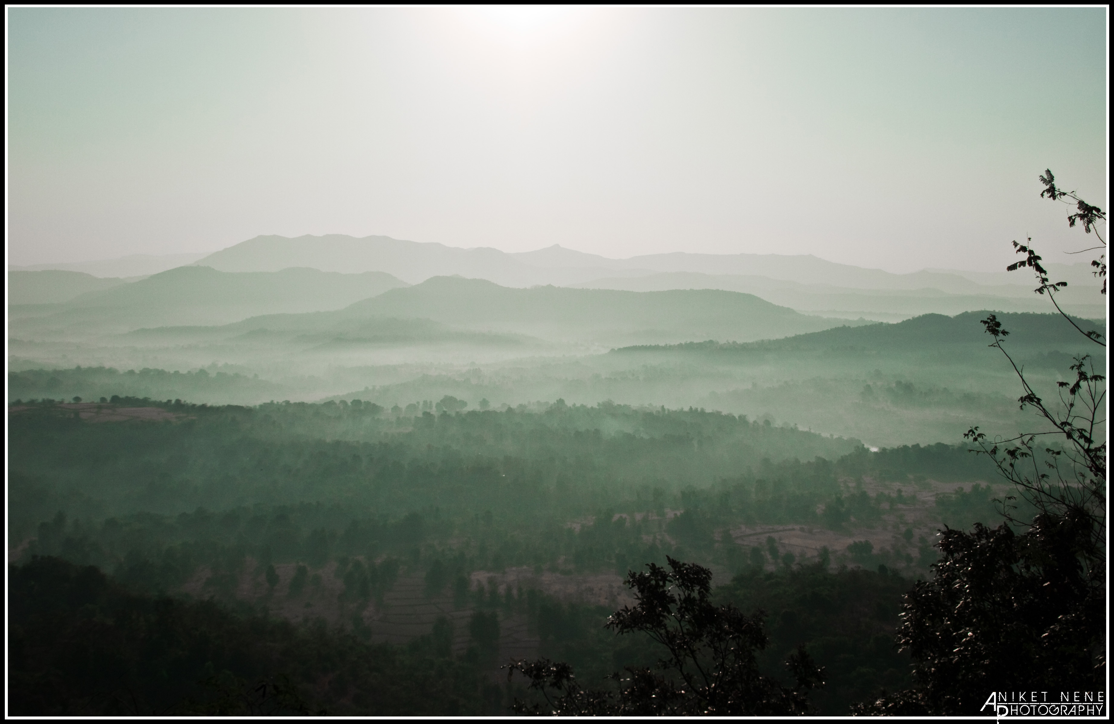
Dhabhole Ghat,
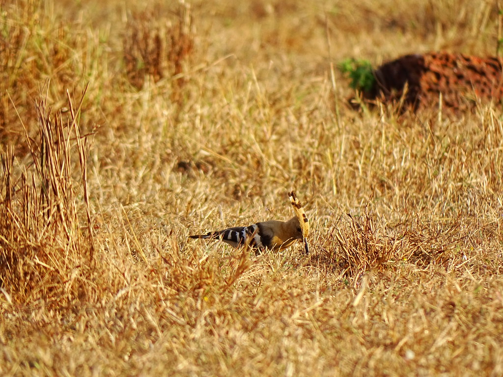
A Hoopoe

Purple rumped sunbird - female
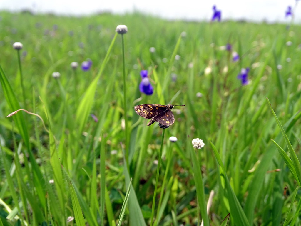
Tamil grass dart
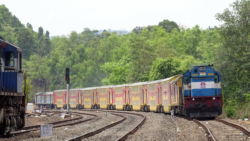
11086 Madgaon - Ltt Double Decker Express.
11085 Mumbai Goa Double Decker Express crossing Nivsar Station.
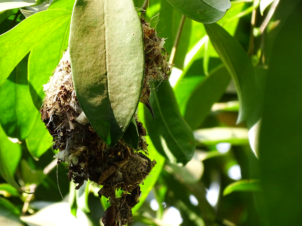
Purple rumped sunbird nest

Purple rumped sunbird - male
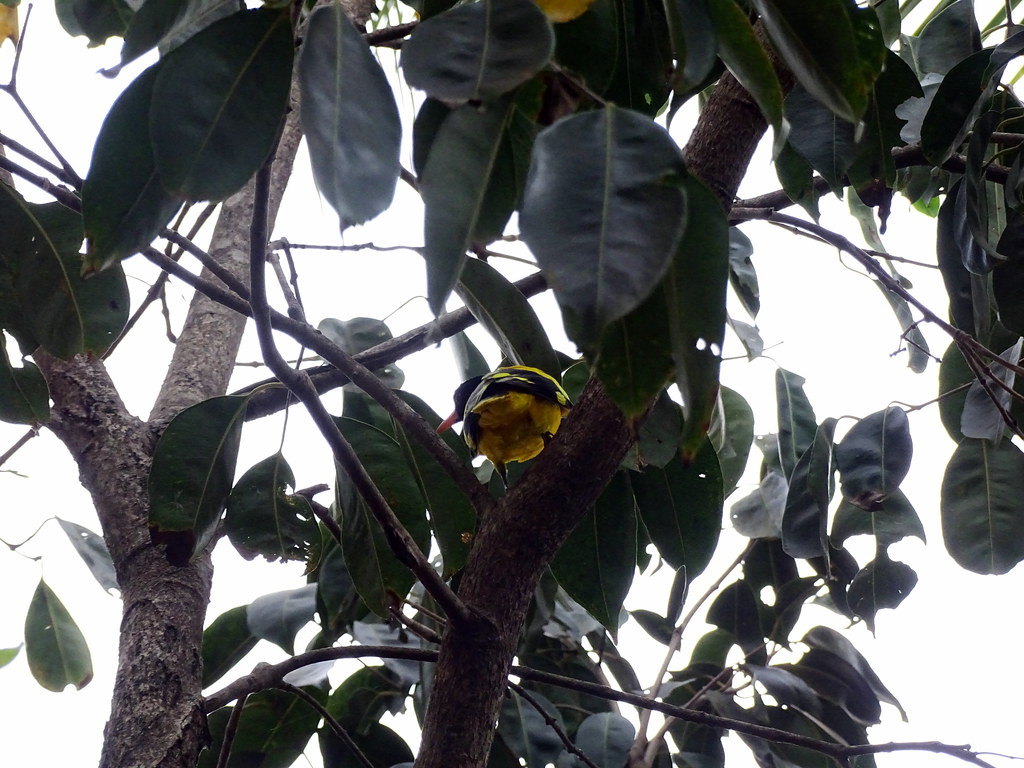
Black hooded oriole

Red rumped swallow

Siberian stonechat - female
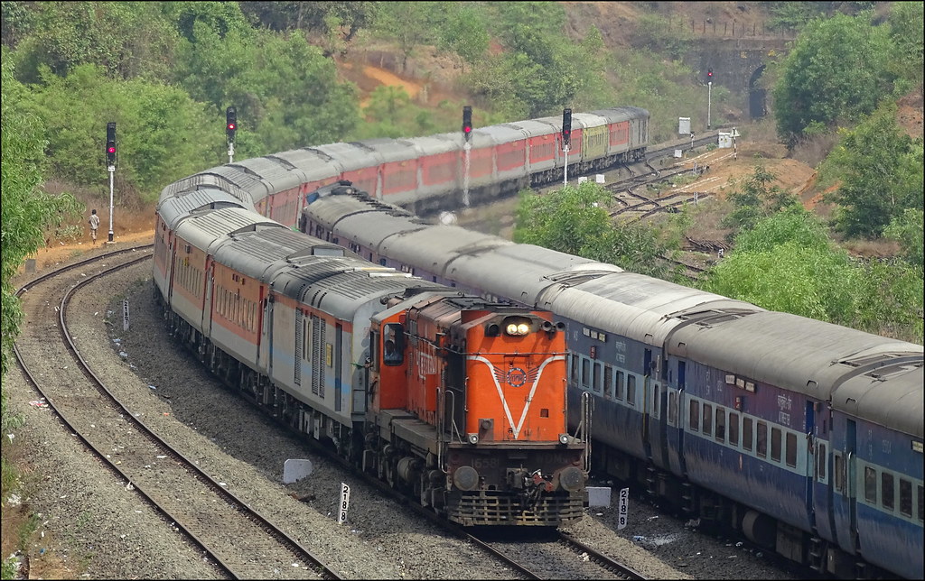
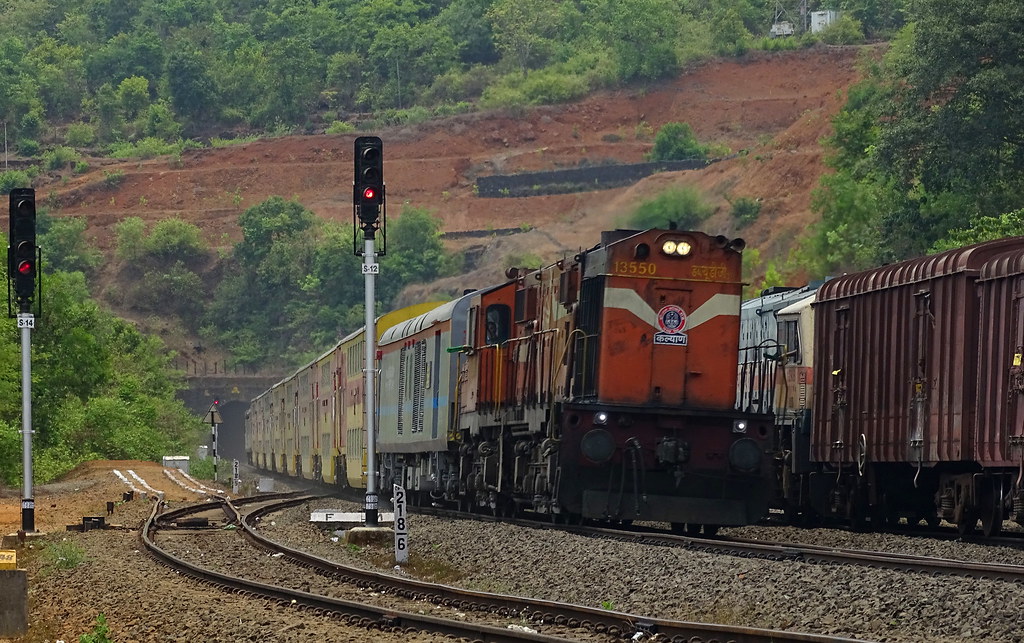
Goa Rajdhani Express at Nivsar
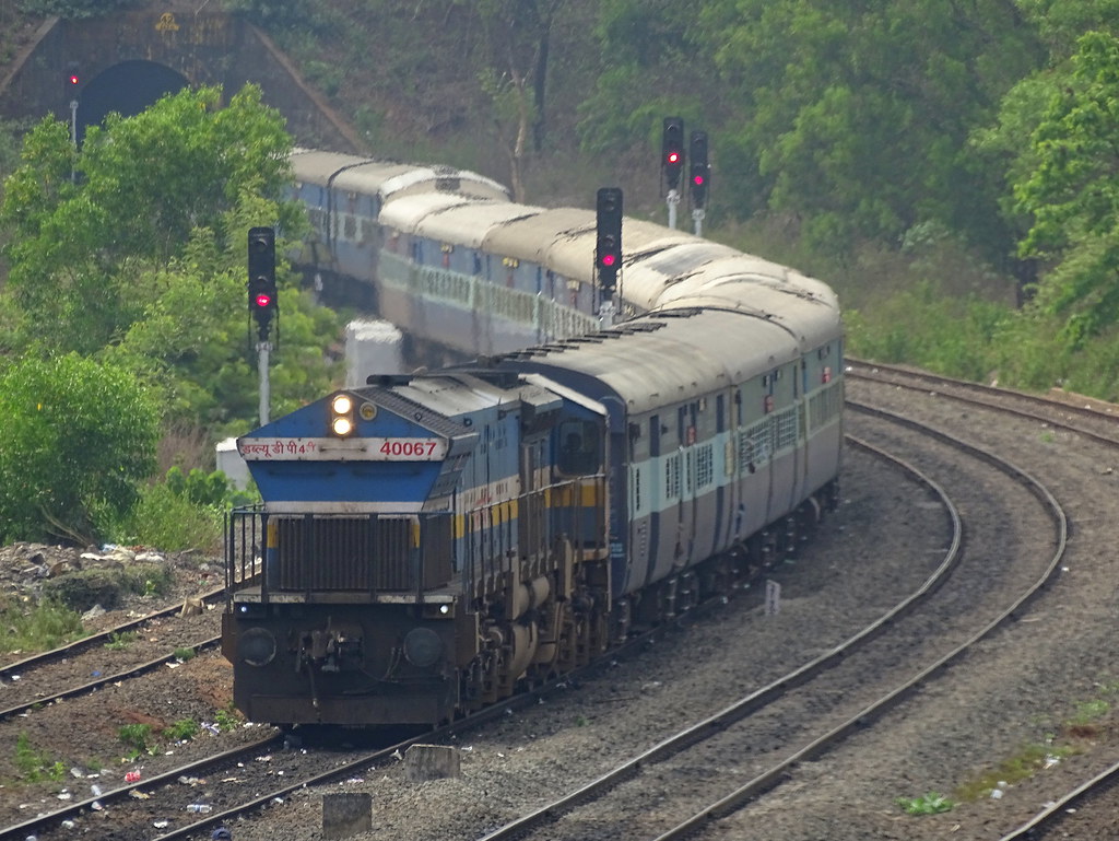
Golden Rock WDP4B with Netravati express gets in loop at Nivsar
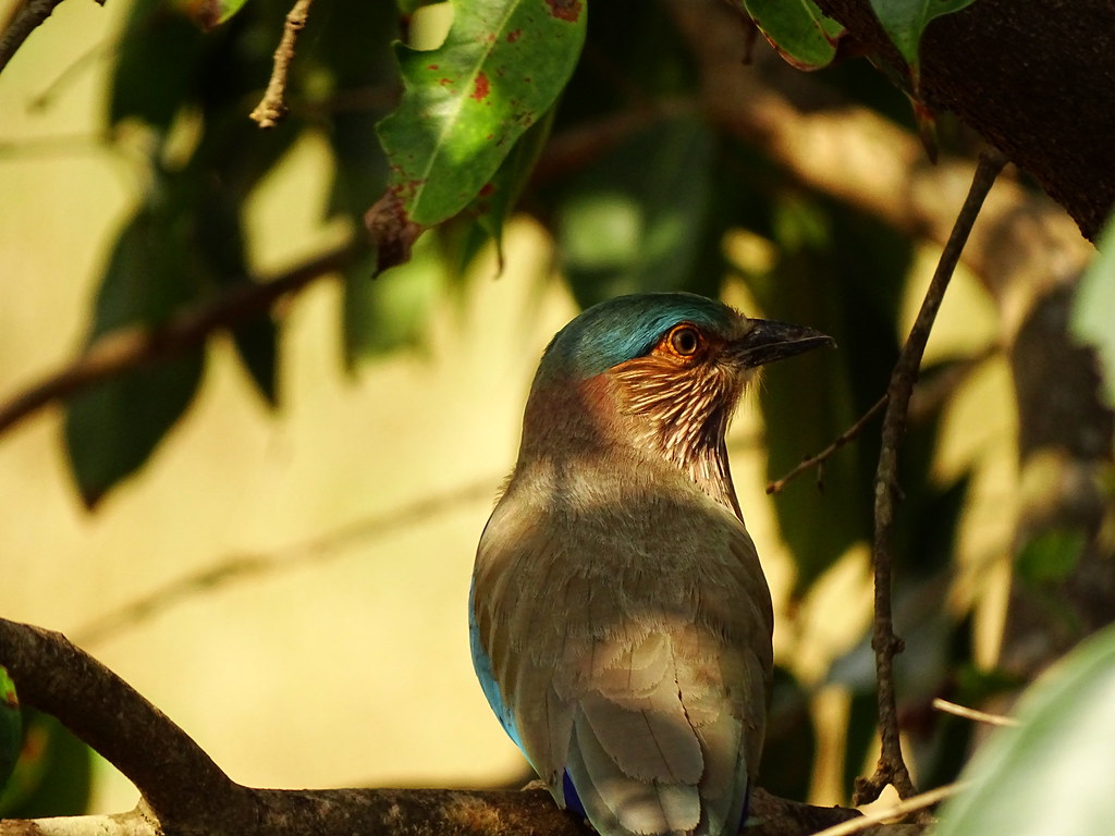
Indian roller
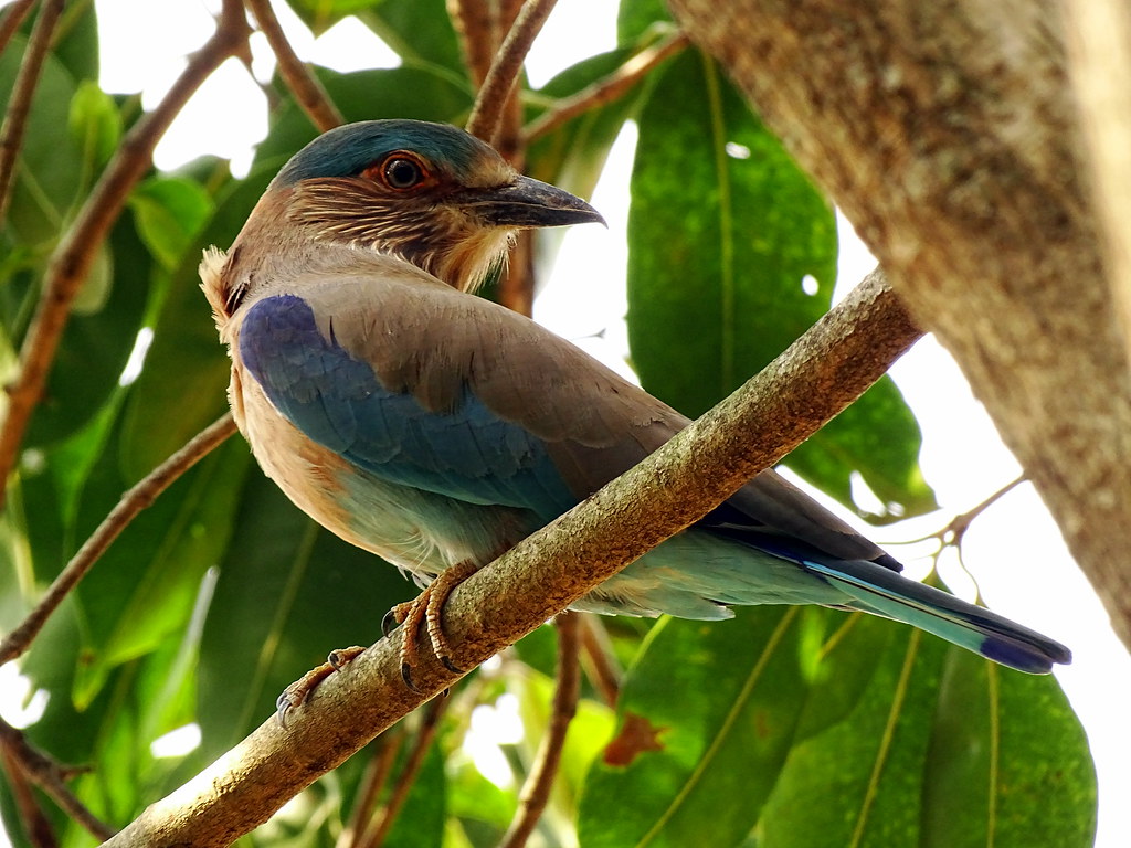
Indian roller

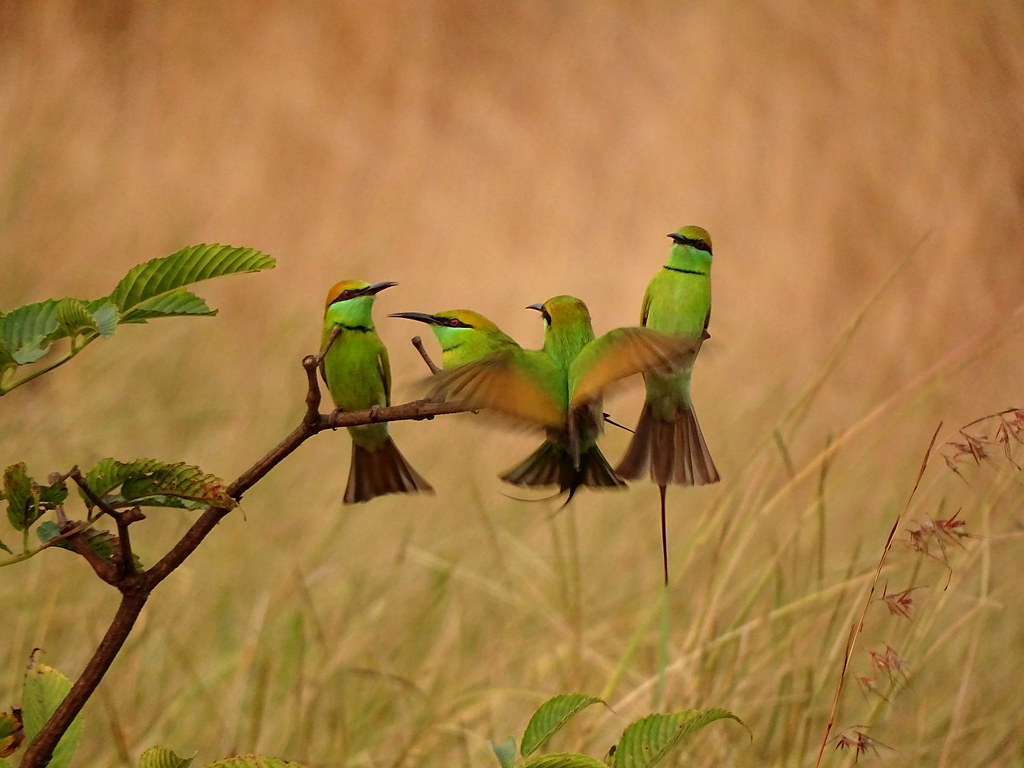
Small green bee eater with a dragonfly kill

A spide with 3D web

Jungle babbler

purple rumped sunbird-male

I can climb on walls too!!

Spotted dove
There is always room for one more...!
Topographic Map of Kurchumb, Maharashtra, India
Find elevation by address:

Places near Kurchumb, Maharashtra, India:
Adavali
Adavali
Dabhole Kh.
Borivale
Ghativale
Dabhole Bk.
Beni Kh.
Kochari
Kondgaon Kh.
Morde
Kondgaon
Sakharpa
Vanzole Kh.
Vanzole Bk.
Machal
Sakharpa Kh.
Gajapur
Vishalgad Road
Vishalgad Road
Chalanwadi
Recent Searches:
- Elevation of Elwyn Dr, Roanoke Rapids, NC, USA
- Elevation of Congressional Dr, Stevensville, MD, USA
- Elevation of Bellview Rd, McLean, VA, USA
- Elevation of Stage Island Rd, Chatham, MA, USA
- Elevation of Shibuya Scramble Crossing, 21 Udagawacho, Shibuya City, Tokyo -, Japan
- Elevation of Jadagoniai, Kaunas District Municipality, Lithuania
- Elevation of Pagonija rock, Kranto 7-oji g. 8"N, Kaunas, Lithuania
- Elevation of Co Rd 87, Jamestown, CO, USA
- Elevation of Tenjo, Cundinamarca, Colombia
- Elevation of Côte-des-Neiges, Montreal, QC H4A 3J6, Canada