Elevation of Kruger Mountain, Colorado, USA
Location: United States > Colorado > La Veta >
Longitude: -105.10389
Latitude: 37.4466783
Elevation: 2859m / 9380feet
Barometric Pressure: 71KPa
Elevation Map:
Satellite Map:
Related Photos:

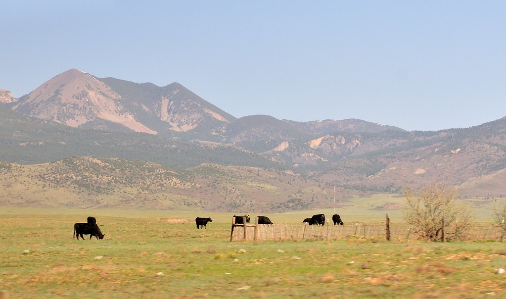
Western view at sunrise
Mt Mestas, 11200 ft
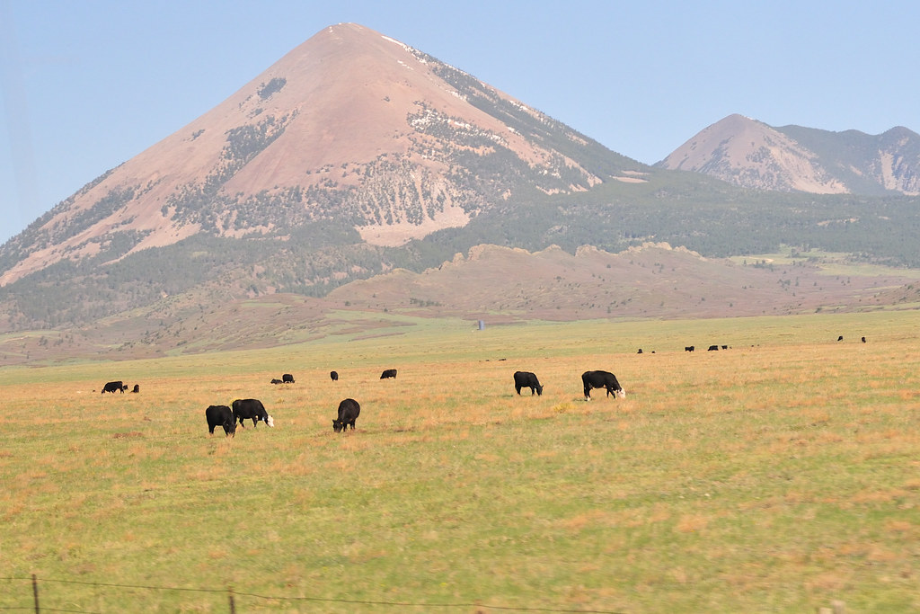
Mt Mestas, 11200 ft

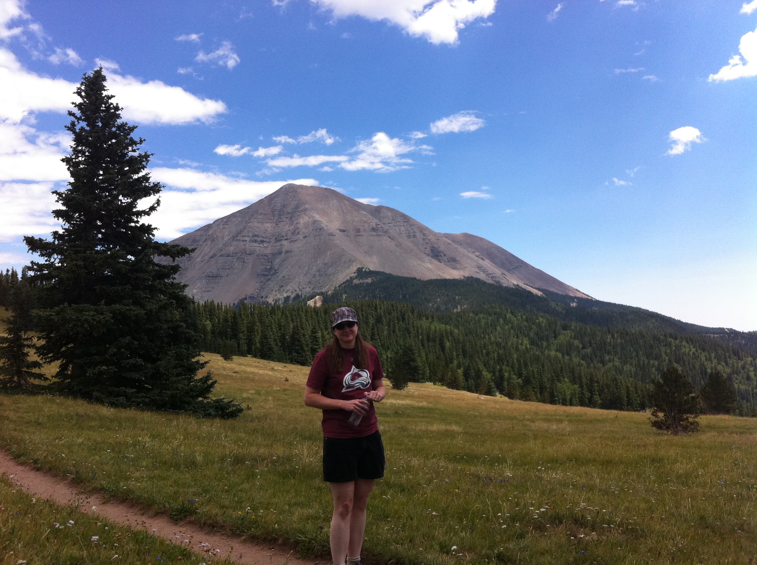
Awesome view

Deer in the backyard

Colorado Gold_02
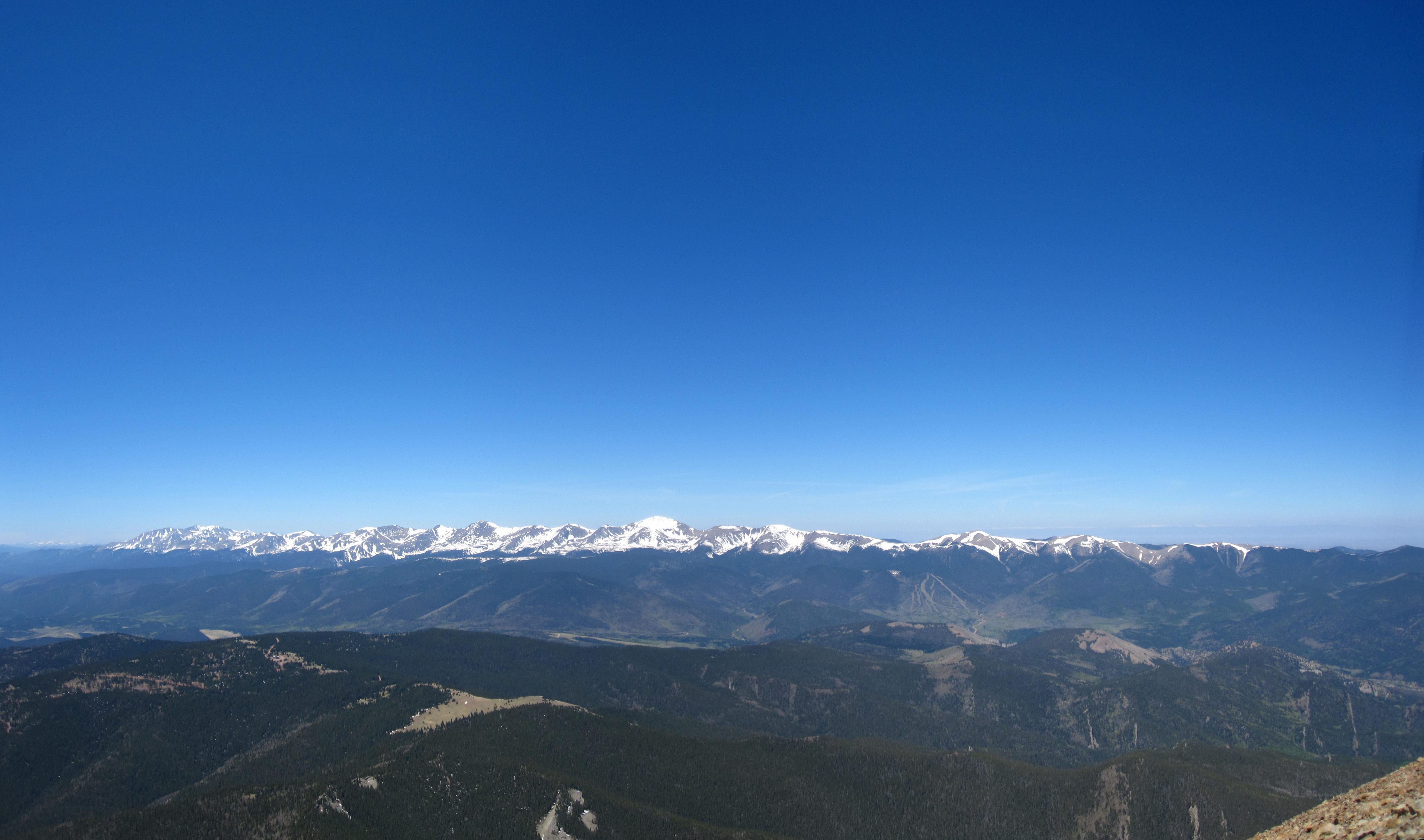
Sangre de Cristo Mountains
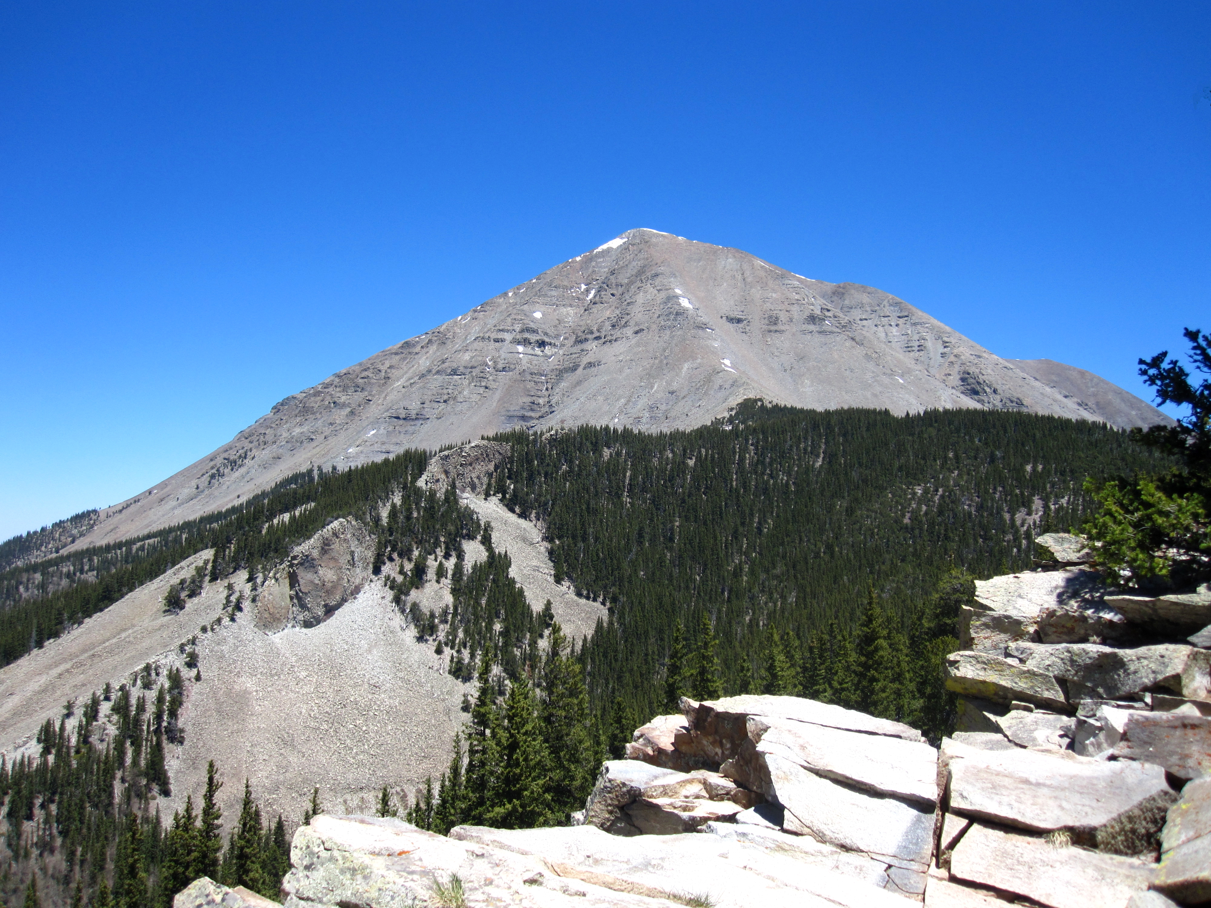
West Spanish Peak

Cliff Mist
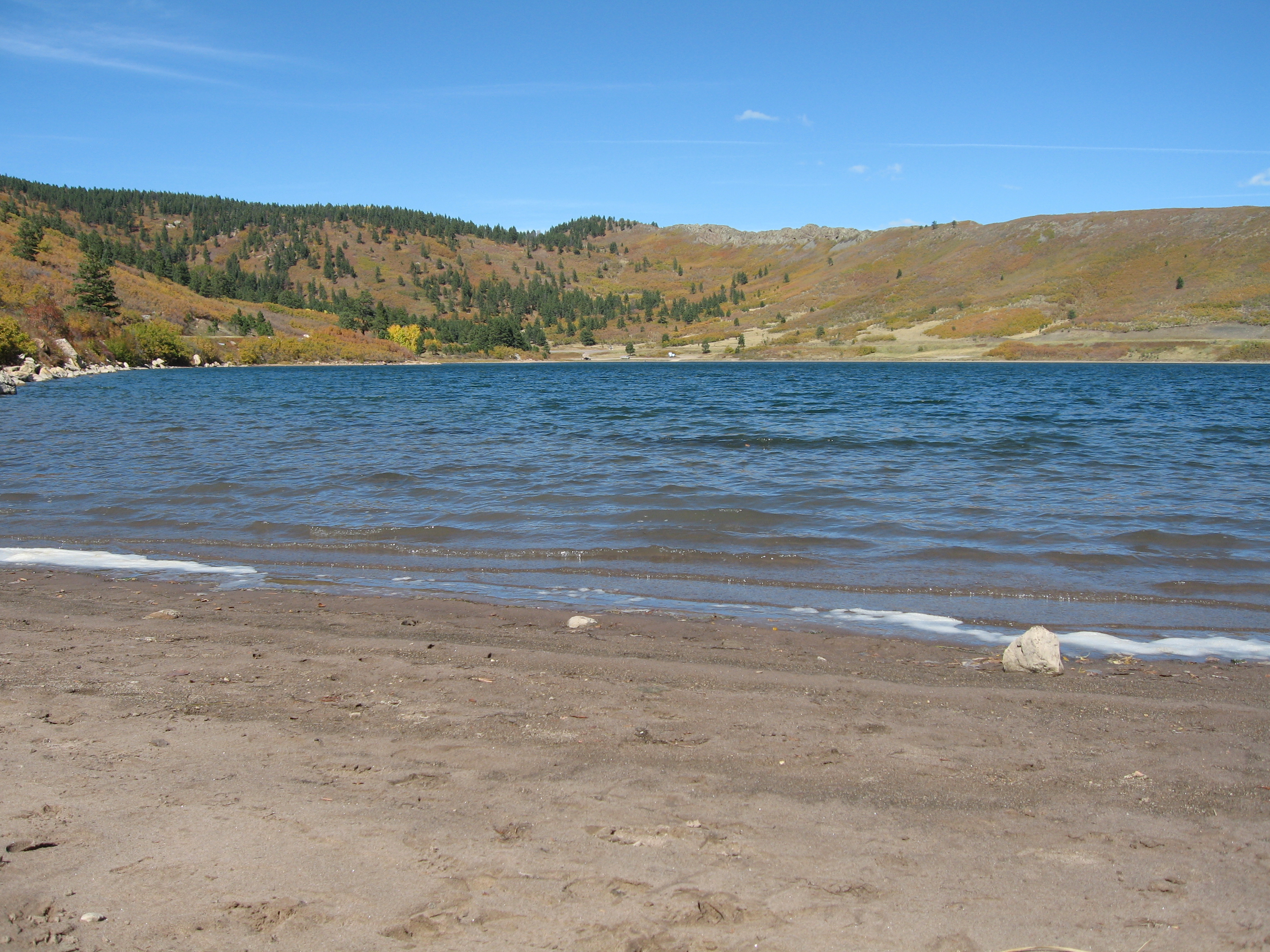
Another lake view
Nice View
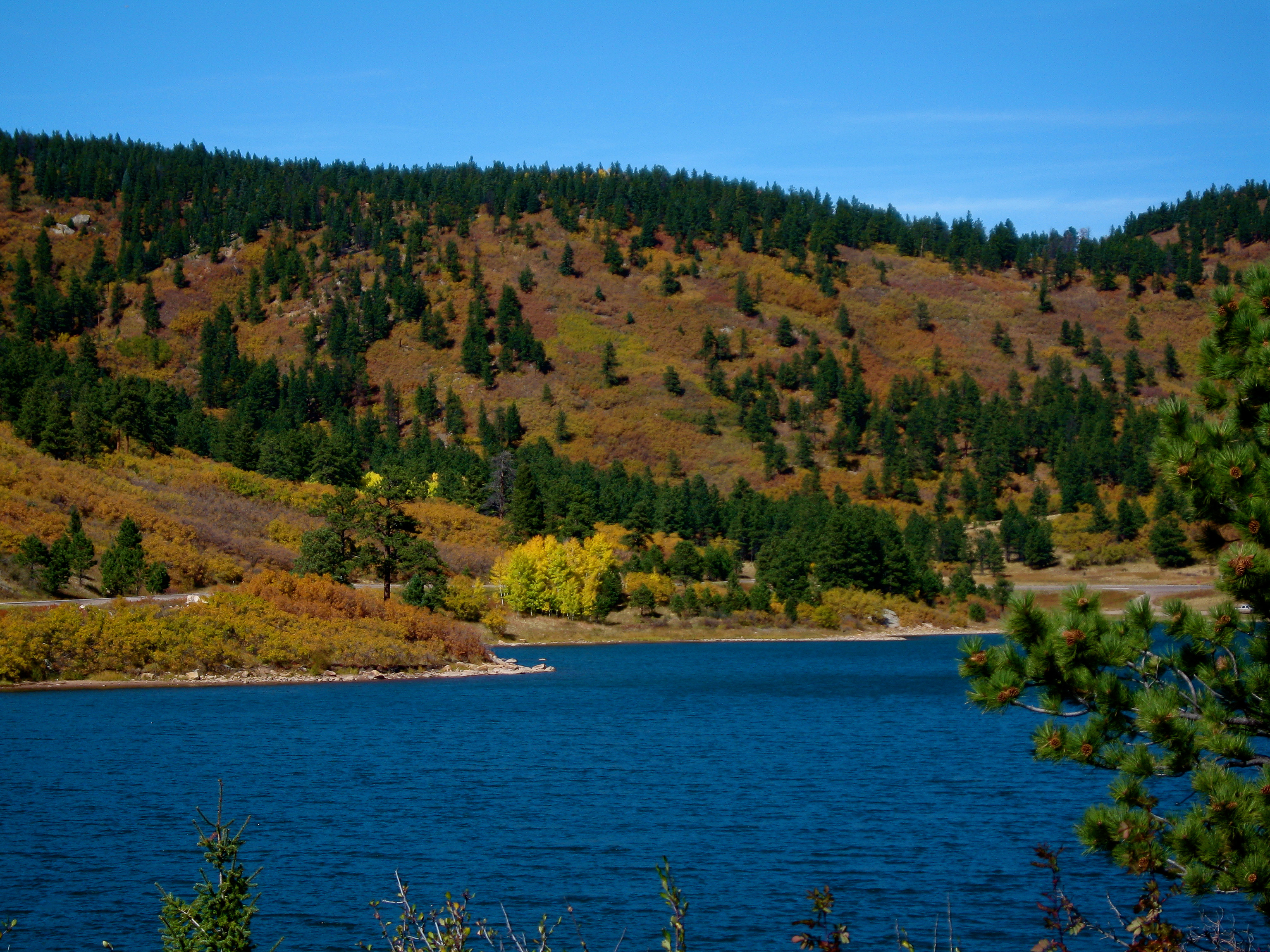
Yet another lake view
Topographic Map of Kruger Mountain, Colorado, USA
Find elevation by address:

Places near Kruger Mountain, Colorado, USA:
2000 Piney Ridge Ranch Rd
425 Rilling Canyon Rd
9697 Co-12
6501 Co-12
Big Wall Lane
31 Grandote Dr
68667 Us-160
La Veta, CO, USA
121 Cascade St
La Veta
Capture Colorado Real Estate
12 Park St
205 Arrowhead Dr
458 Arrowhead Dr
341 Arrowhead Dr
Willis Drive
2300 County Rd 450
Raspberry Mountain Ranch
Silver Mountain
1188 Cherokee Dr
Recent Searches:
- Elevation of Corso Fratelli Cairoli, 35, Macerata MC, Italy
- Elevation of Tallevast Rd, Sarasota, FL, USA
- Elevation of 4th St E, Sonoma, CA, USA
- Elevation of Black Hollow Rd, Pennsdale, PA, USA
- Elevation of Oakland Ave, Williamsport, PA, USA
- Elevation of Pedrógão Grande, Portugal
- Elevation of Klee Dr, Martinsburg, WV, USA
- Elevation of Via Roma, Pieranica CR, Italy
- Elevation of Tavkvetili Mountain, Georgia
- Elevation of Hartfords Bluff Cir, Mt Pleasant, SC, USA