Elevation of Raspberry Mountain Ranch, Mountain Valley Rd, La Veta, CO, USA
Location: United States > Colorado > La Veta >
Longitude: -104.97064
Latitude: 37.52835
Elevation: 2083m / 6834feet
Barometric Pressure: 79KPa
Elevation Map:
Satellite Map:
Related Photos:
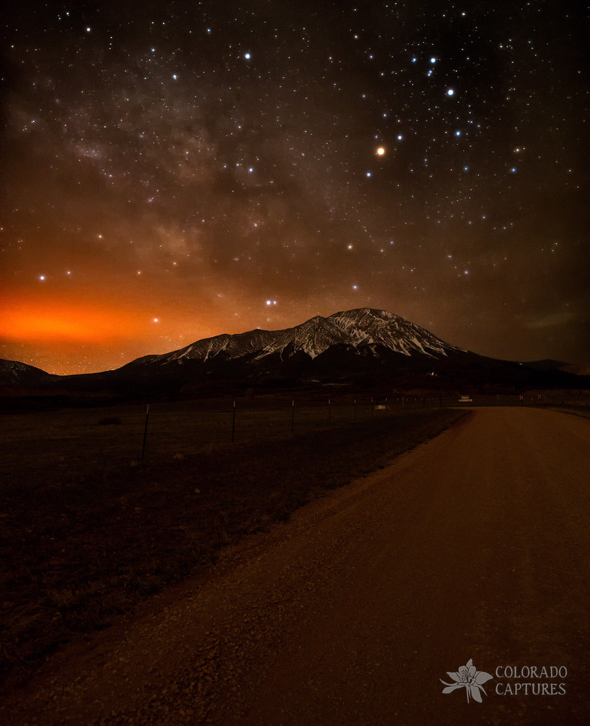
Spanish Peaks Road To A Cloud Veiled Milky Way

Awesome view

Trinchera Peak from U.S. Highway 160
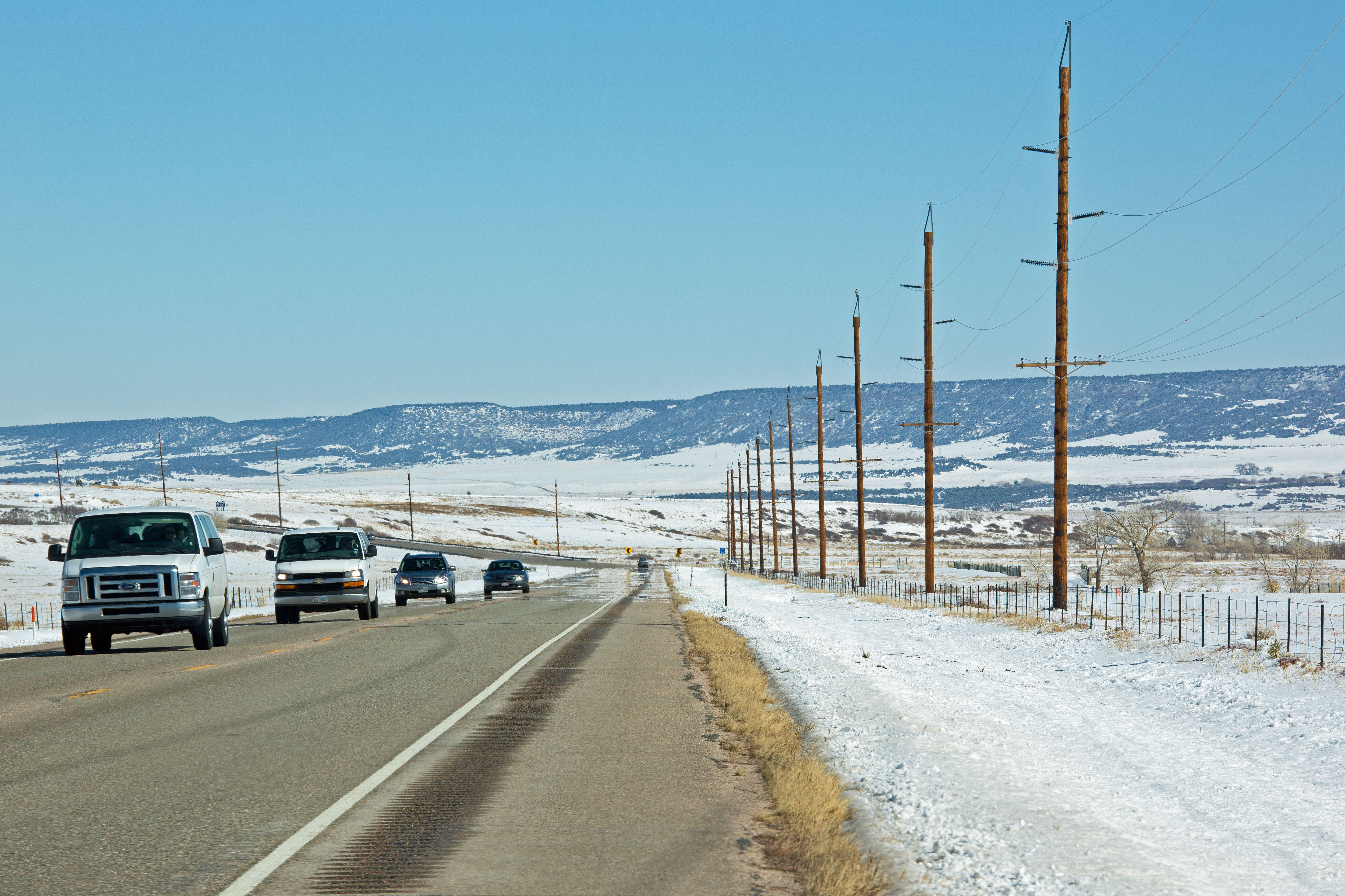
Route 160, Colorado
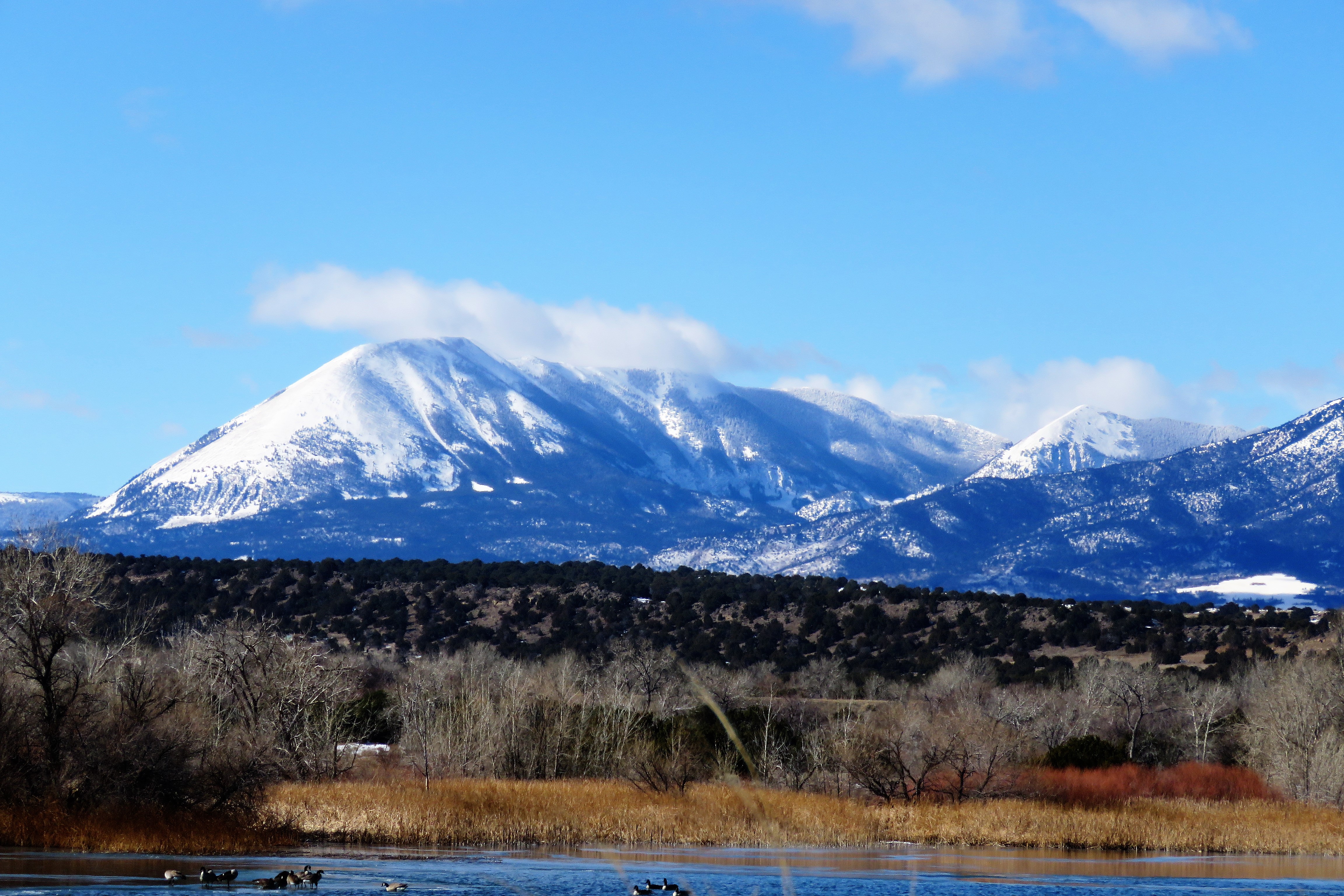
Mt Mestas, 11200 ft
Mt Mestas, 11200 ft
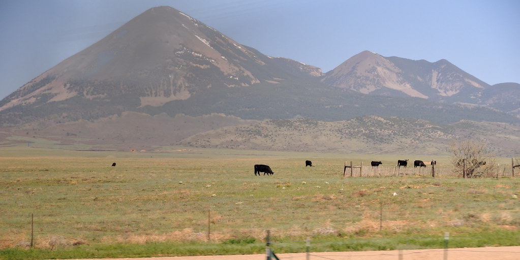
Mt Mestas, 11200 ft
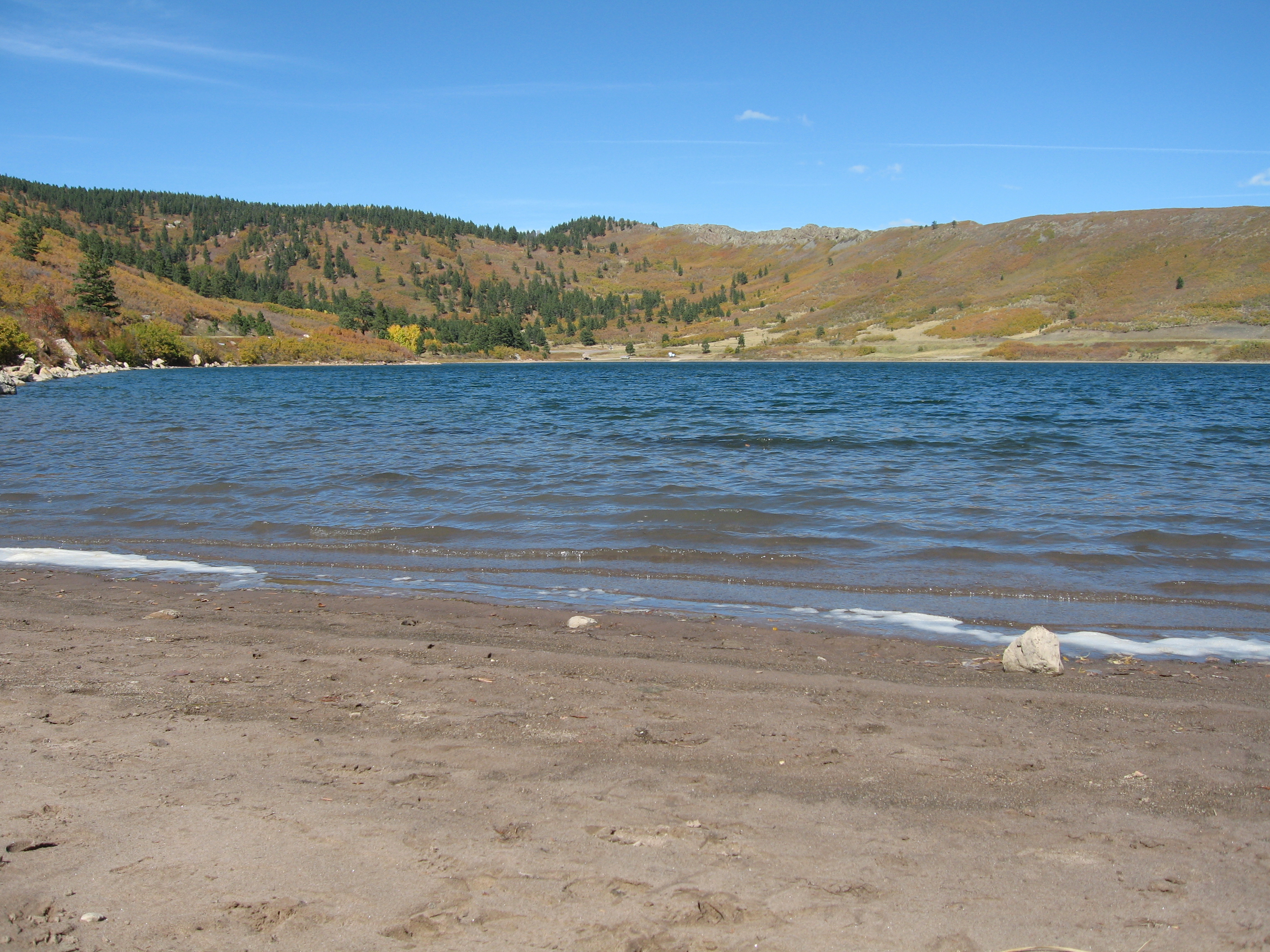
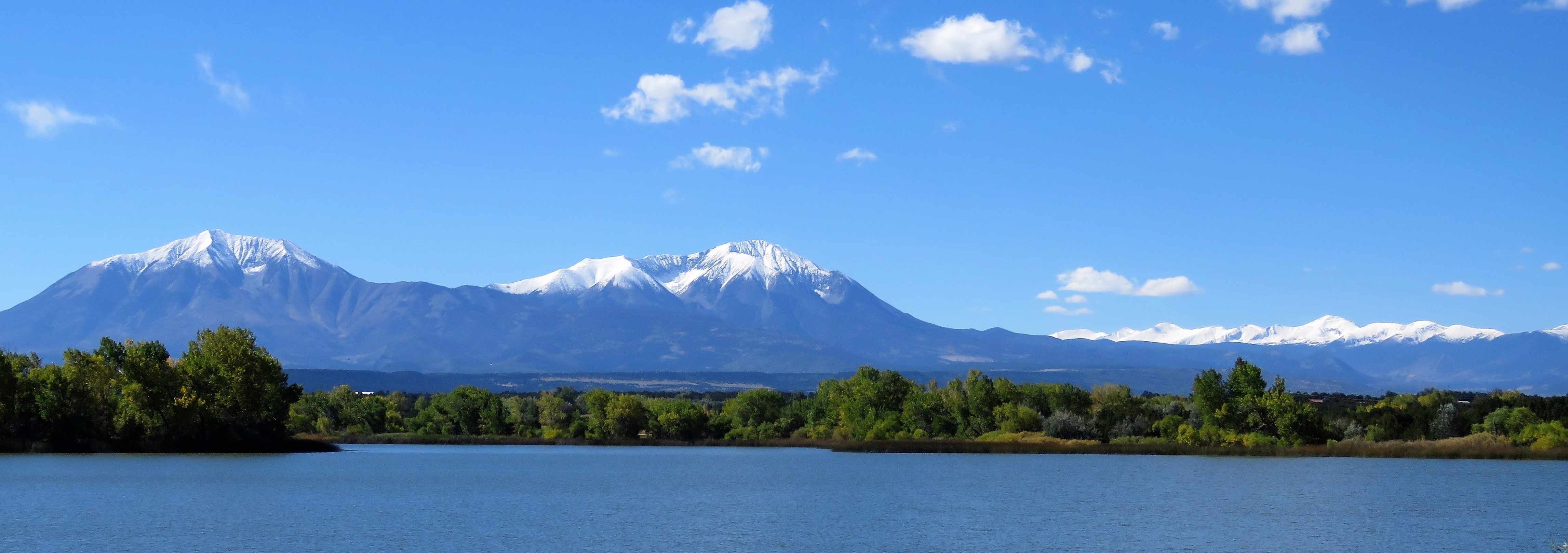
Yet another lake view
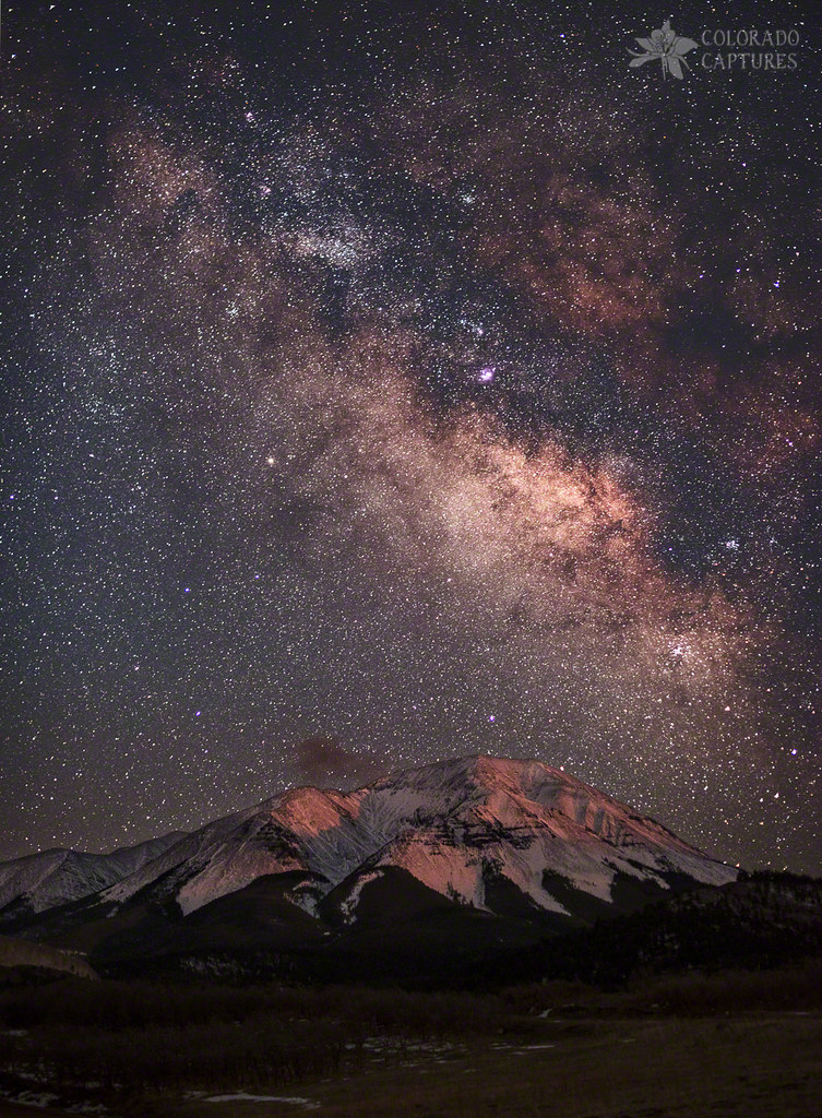
Lunar Alpenglow And Milky Way Skies At West Spanish Peak

West Spanish Peak
Winter without Winter

Goemmer Butte
All Roads
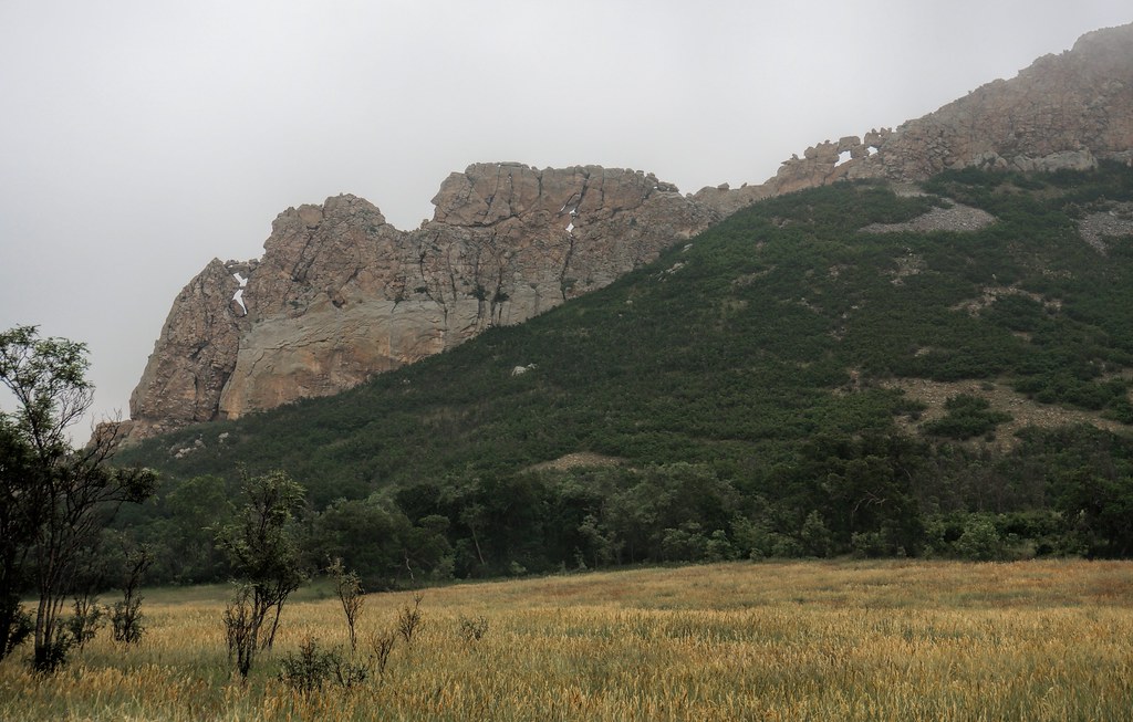
Devils Stairsteps
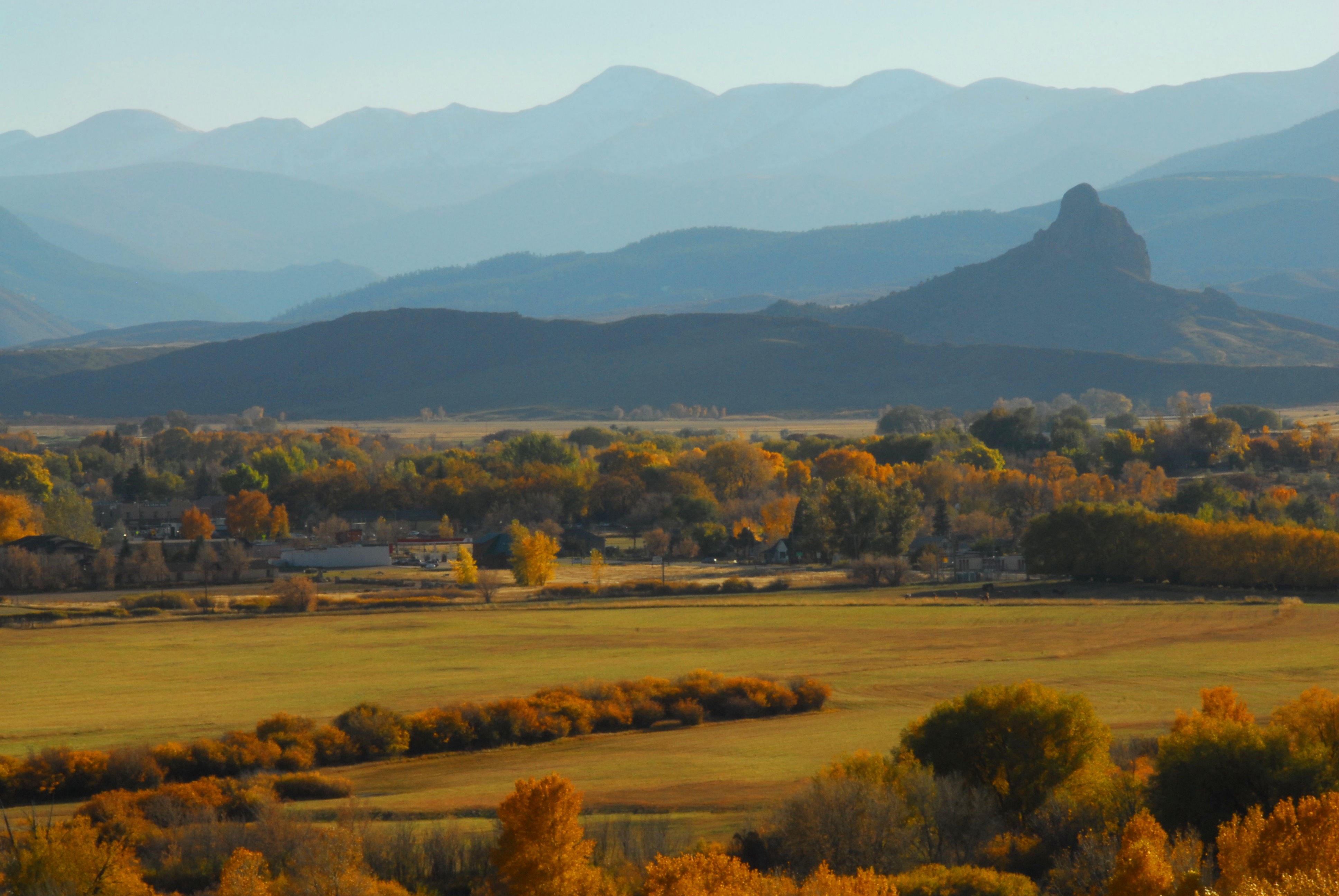
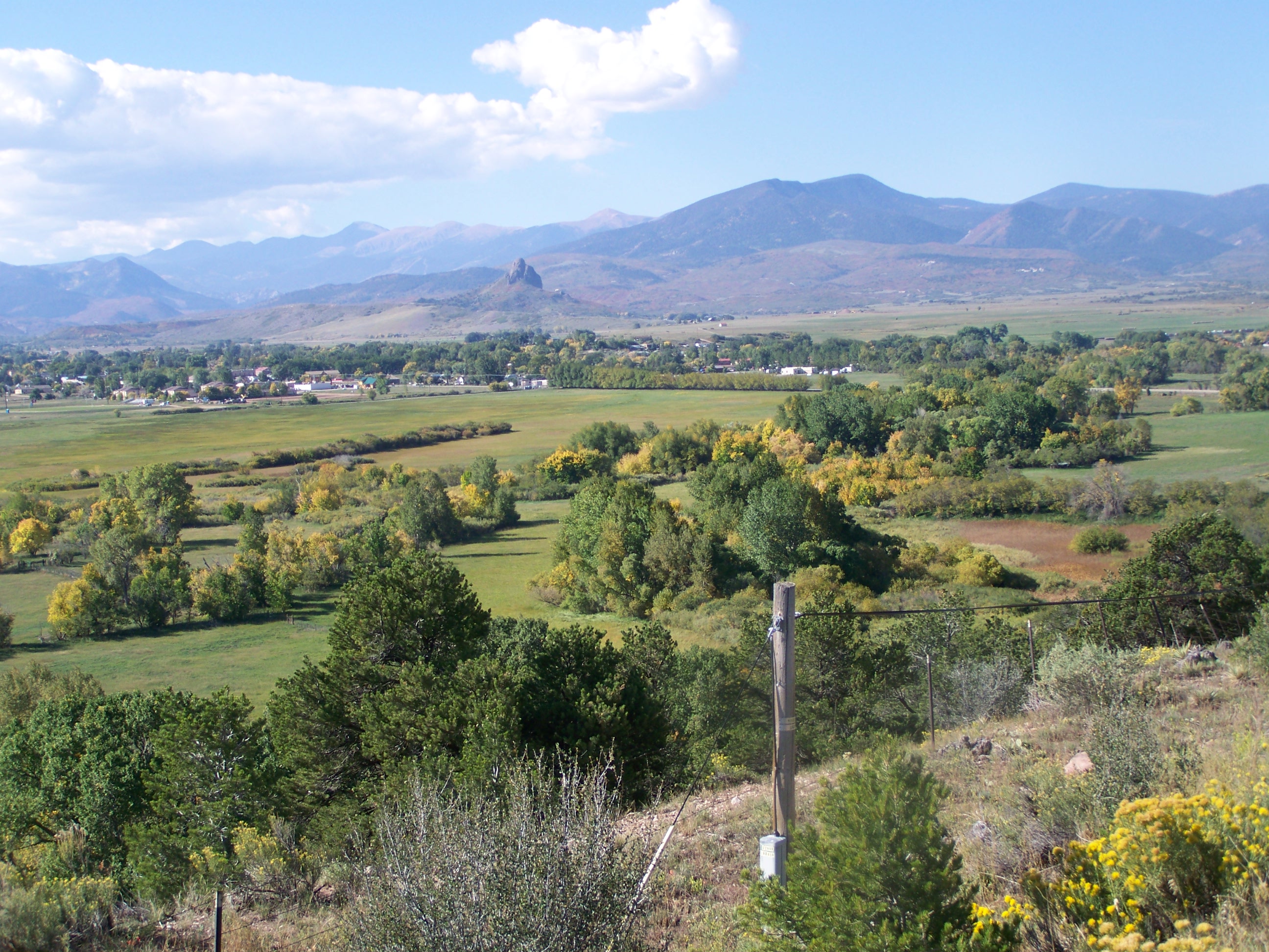
La Veta, Colorado
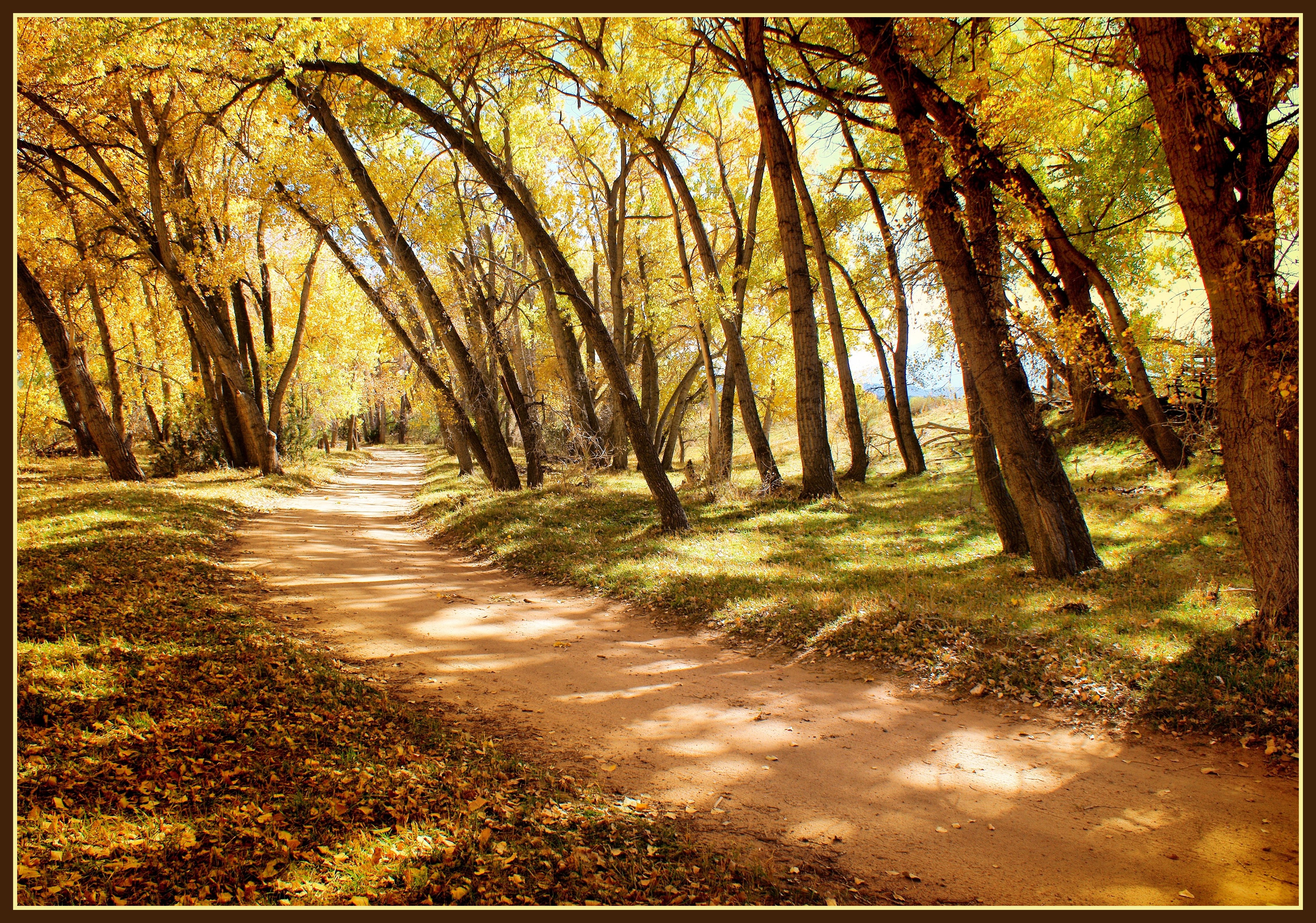
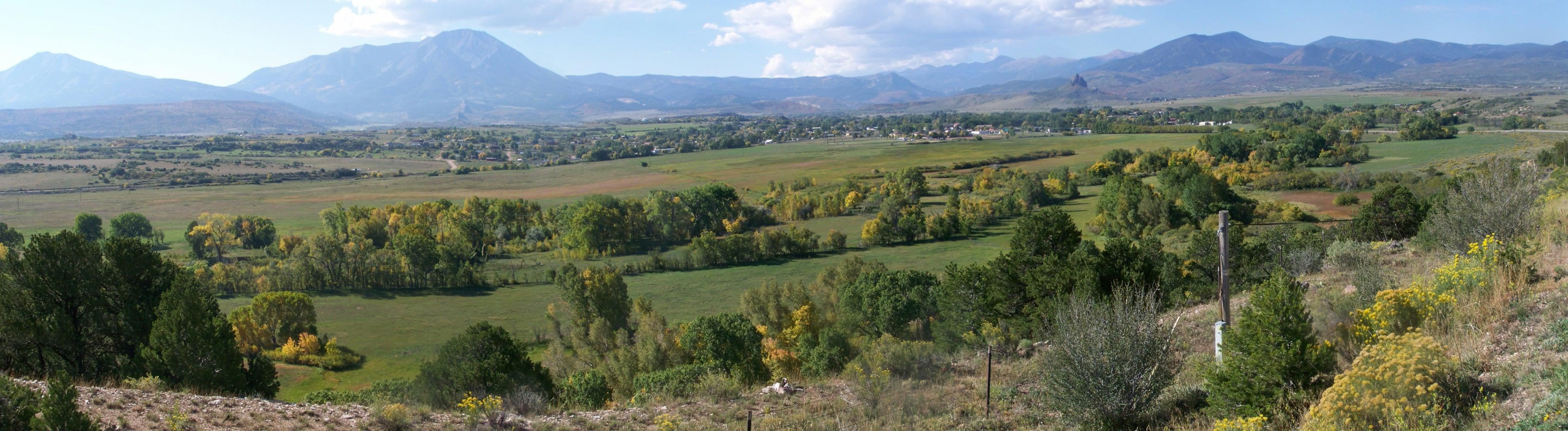
La Veta Landscape 02
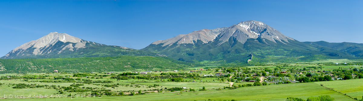
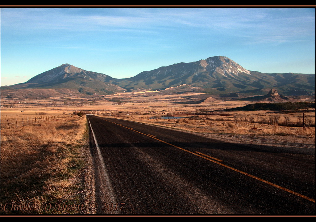
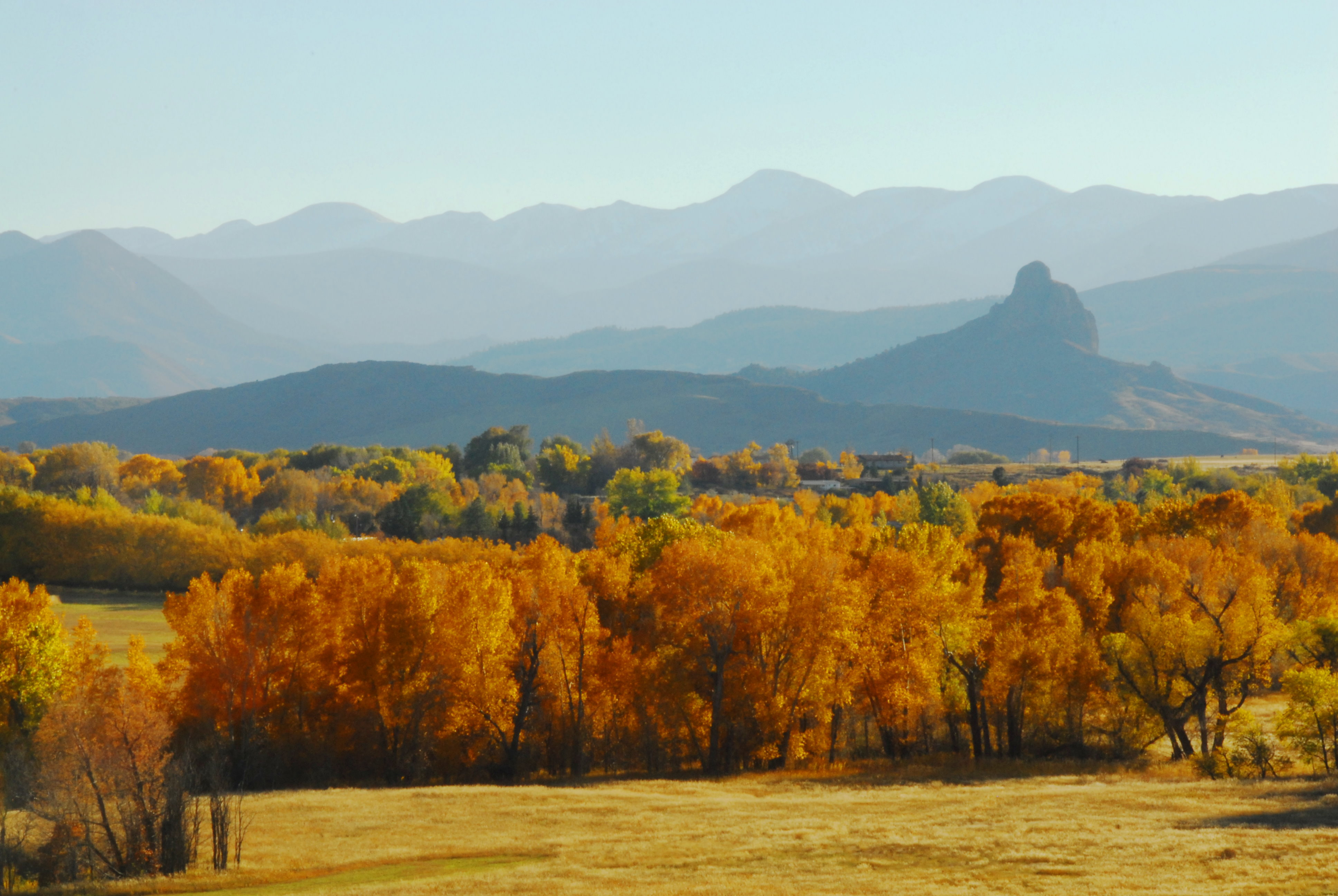
Spanish Peaks
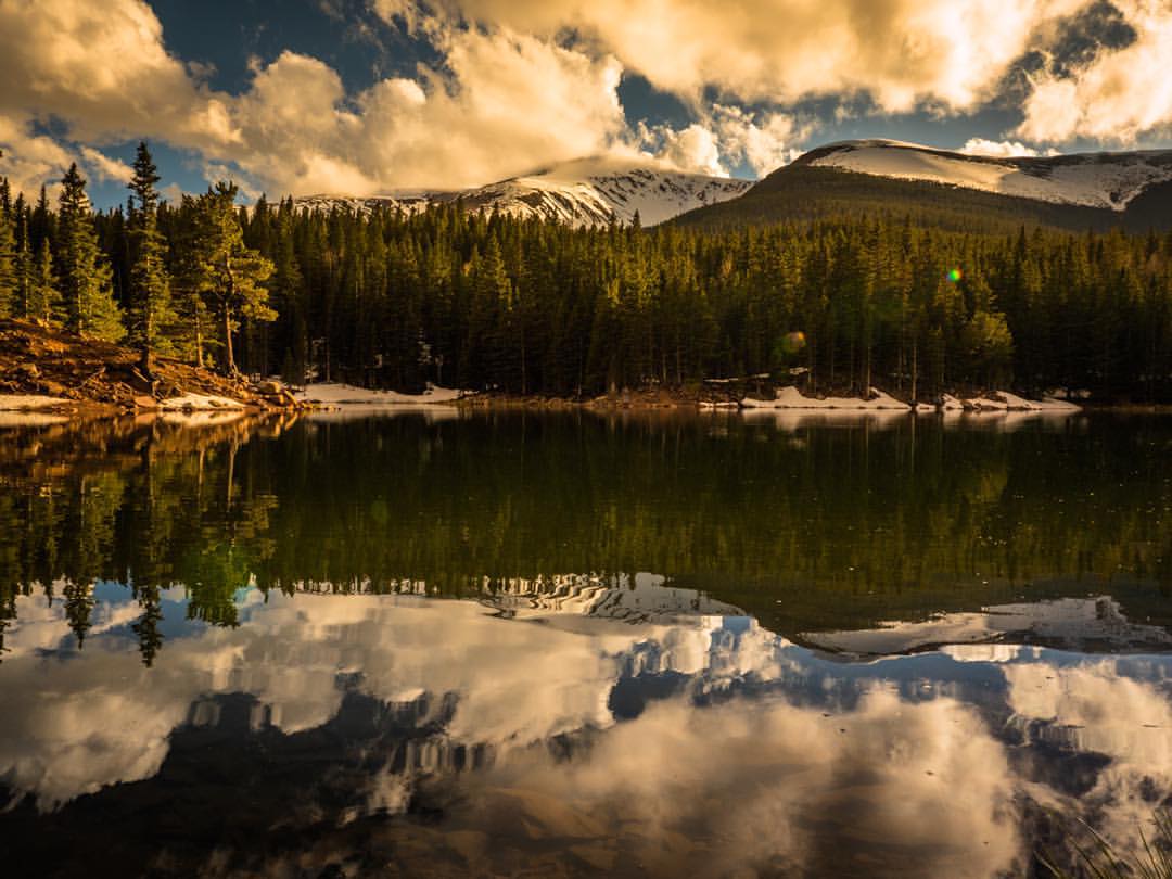
If you find reflections confusing, maybe Bear Lake is not the place for you...how will you know which way is up? #Colorado #goldenhour
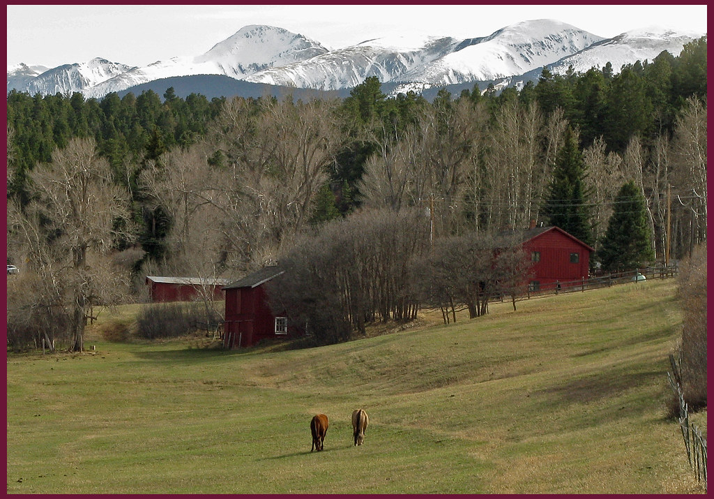
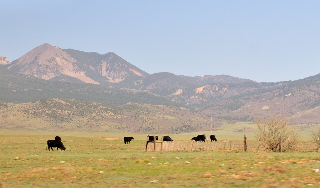
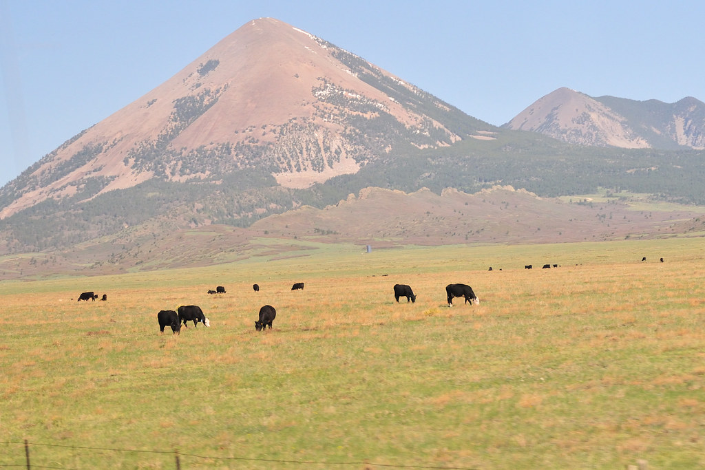
Spring Pasture: Near Cuchara, Colorado (CO)
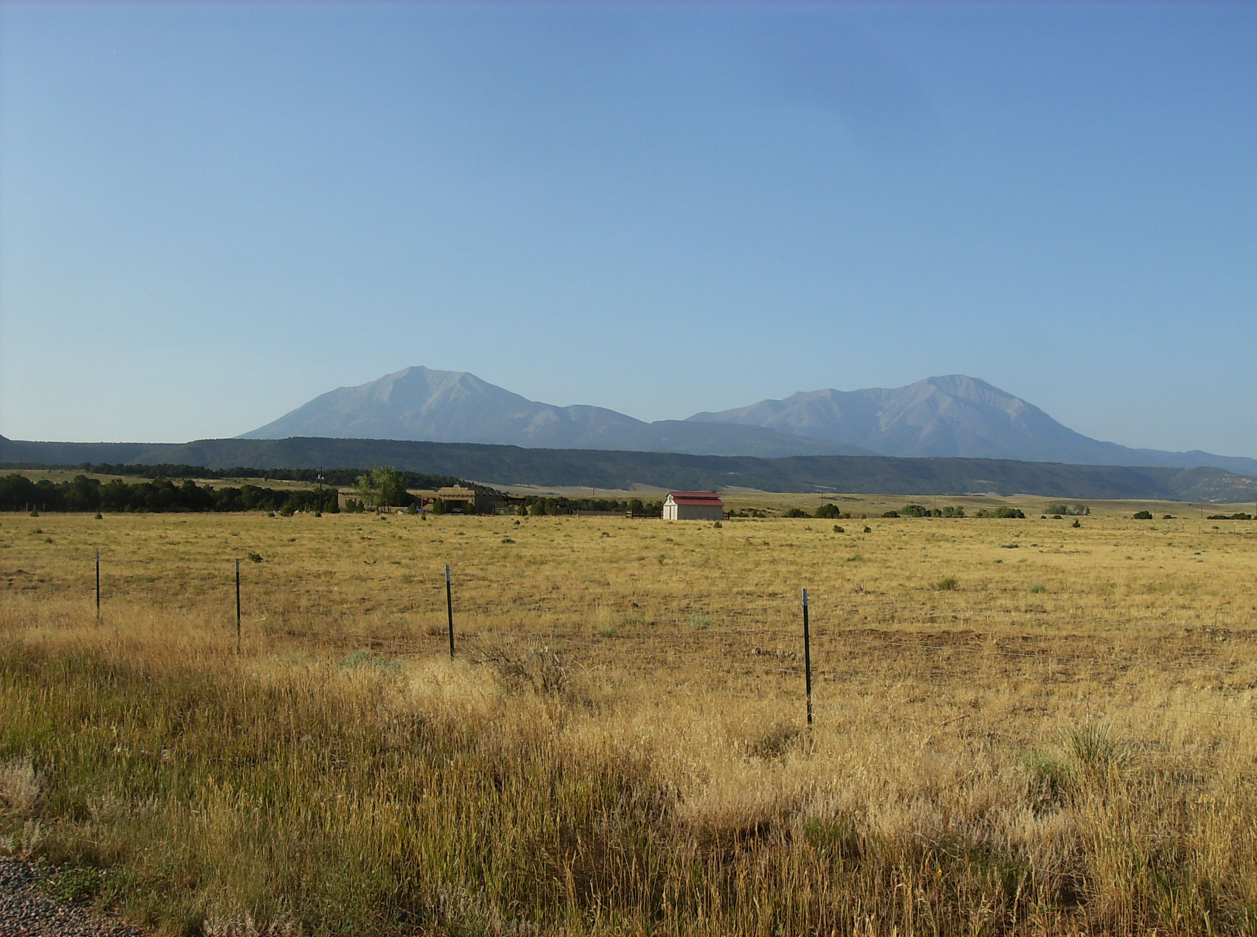
La Veta CO (2)
La Veta CO
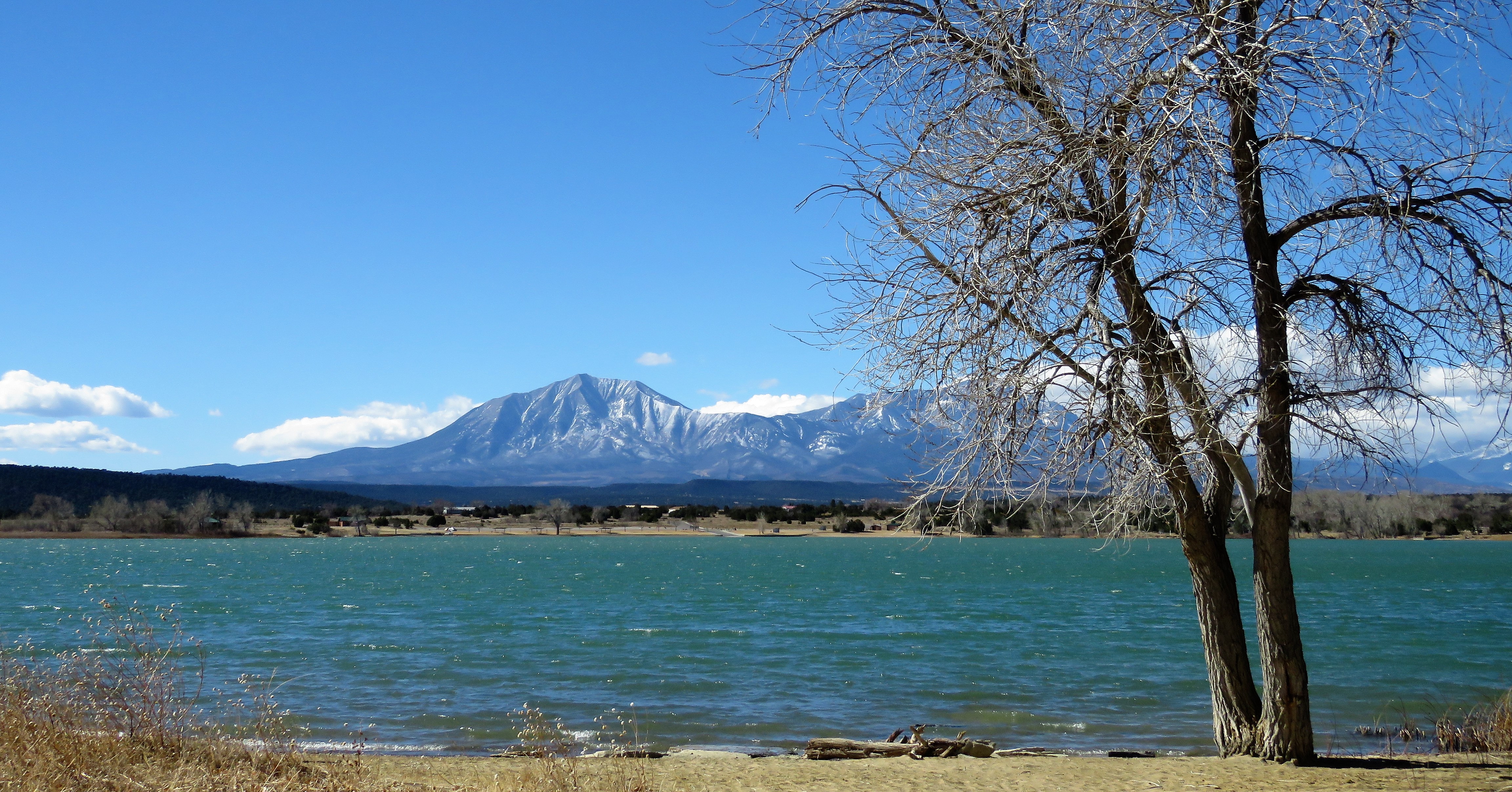
Southern Colorado Ranch
The Spanish Peaks & the Southern Sangres
Open Waters
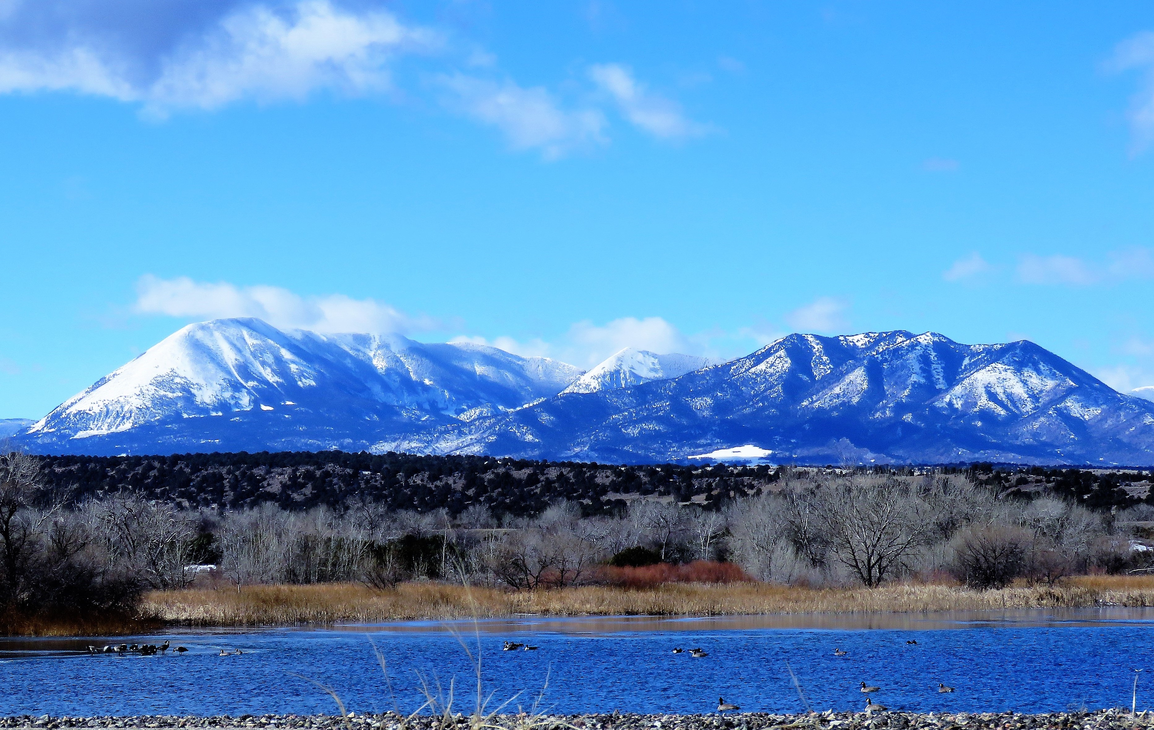
Winter Wetland
Winter Waters
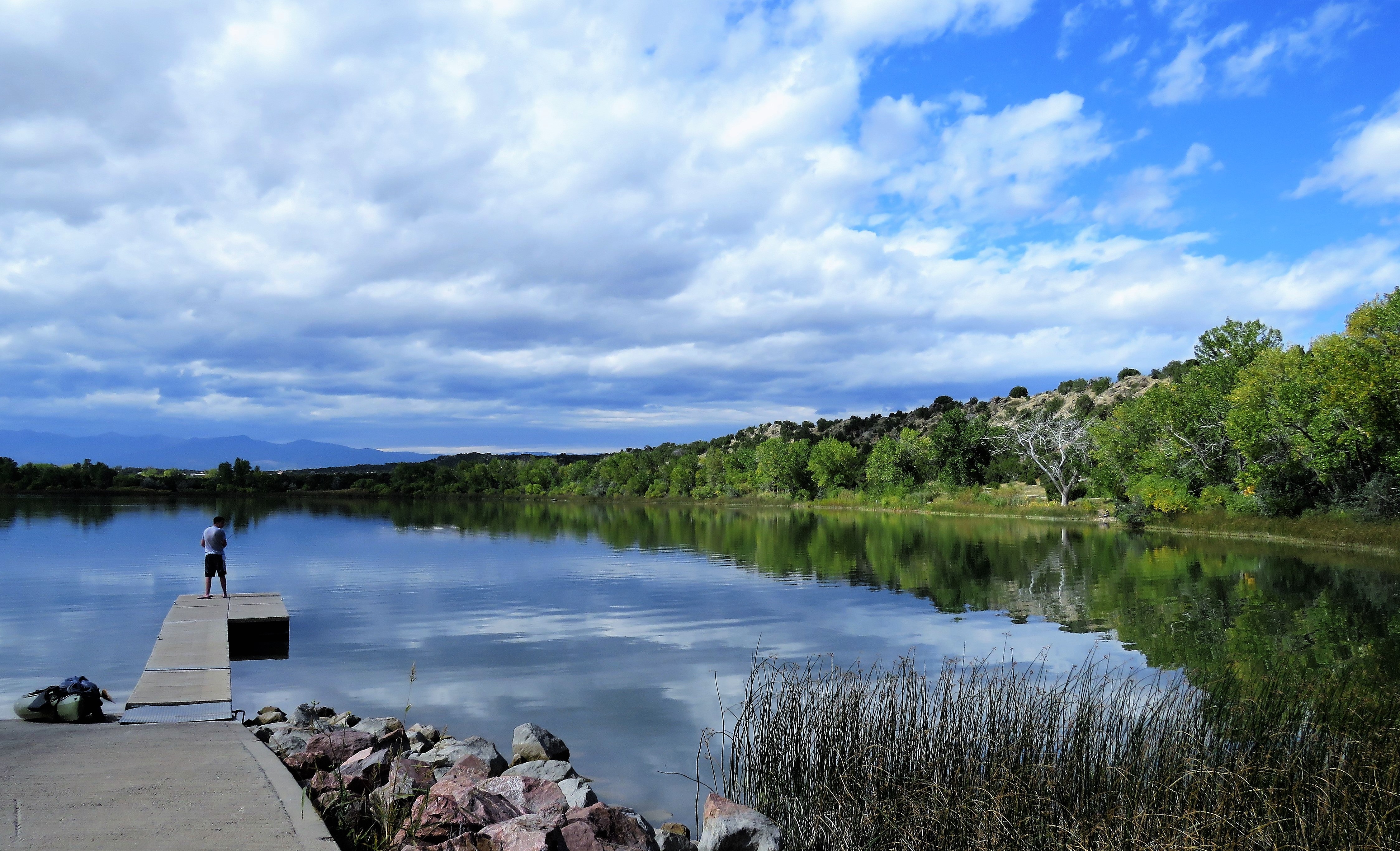
Fishing Hole
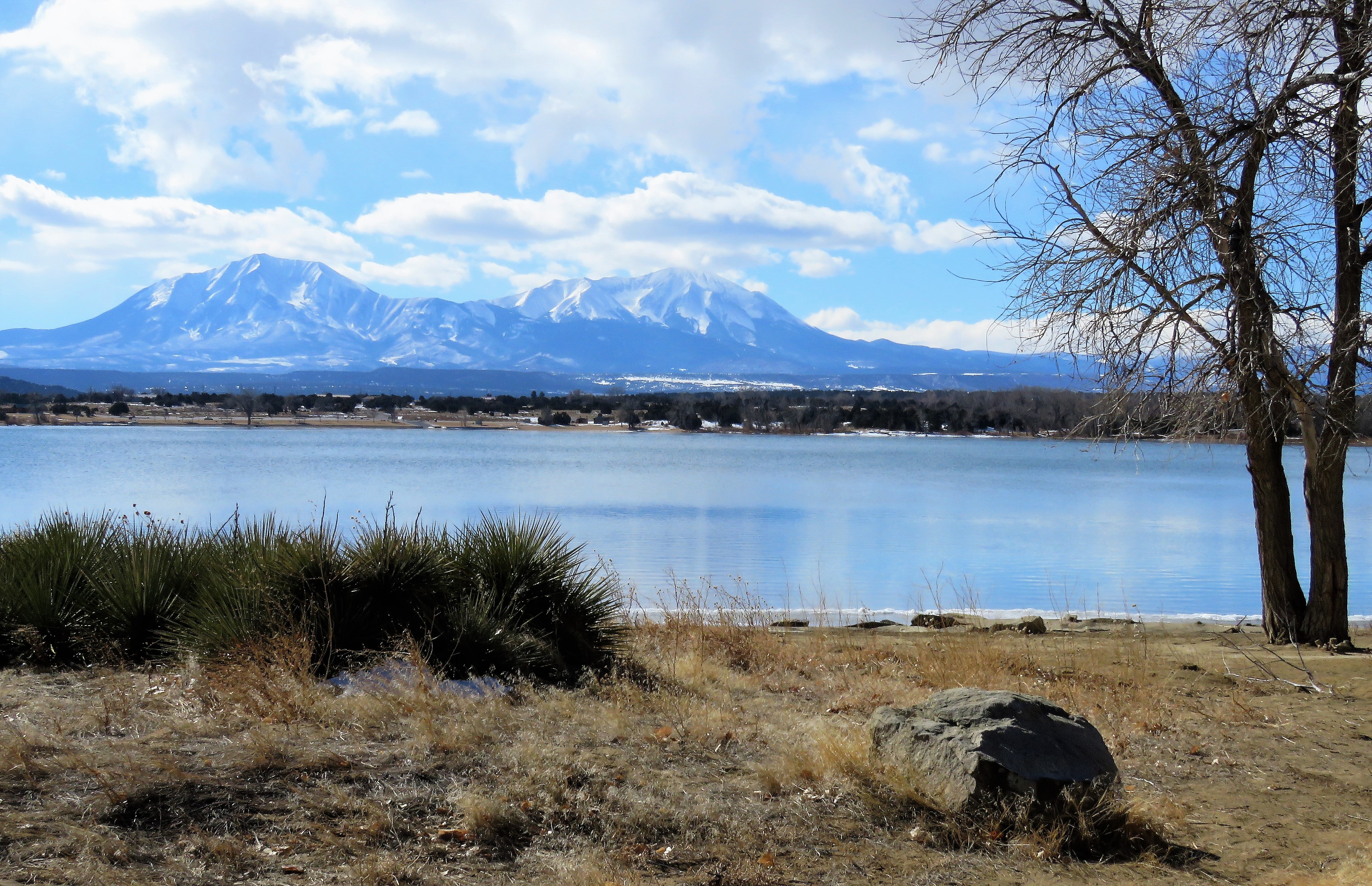
Spanish Peaks Country
Topographic Map of Raspberry Mountain Ranch, Mountain Valley Rd, La Veta, CO, USA
Find elevation by address:

Places near Raspberry Mountain Ranch, Mountain Valley Rd, La Veta, CO, USA:
Willis Drive
341 Arrowhead Dr
205 Arrowhead Dr
458 Arrowhead Dr
2300 County Rd 450
12 Park St
Capture Colorado Real Estate
La Veta
121 Cascade St
31 Grandote Dr
633 Indian Creek Rd
6501 Co-12
1188 Cherokee Dr
363 Vega Rd
363 Vega Rd
282 Seneca Cir
Elk Trail
88 Buffalo Dr N
25 Apache Dr
20 Moose Trail
Recent Searches:
- Elevation of Kambingan Sa Pansol Atbp., Purok 7 Pansol, Candaba, Pampanga, Philippines
- Elevation of Pinewood Dr, New Bern, NC, USA
- Elevation of Mountain View, CA, USA
- Elevation of Foligno, Province of Perugia, Italy
- Elevation of Blauwestad, Netherlands
- Elevation of Bella Terra Blvd, Estero, FL, USA
- Elevation of Estates Loop, Priest River, ID, USA
- Elevation of Woodland Oak Pl, Thousand Oaks, CA, USA
- Elevation of Brownsdale Rd, Renfrew, PA, USA
- Elevation of Corcoran Ln, Suffolk, VA, USA