Elevation of County Rd, La Veta, CO, USA
Location: United States > Colorado > La Veta >
Longitude: -104.95905
Latitude: 37.495233
Elevation: 2188m / 7178feet
Barometric Pressure: 78KPa
Elevation Map:
Satellite Map:
Related Photos:

Deer in the backyard
Trinchera Peak from U.S. Highway 160

Spanish Peaks Road To A Cloud Veiled Milky Way

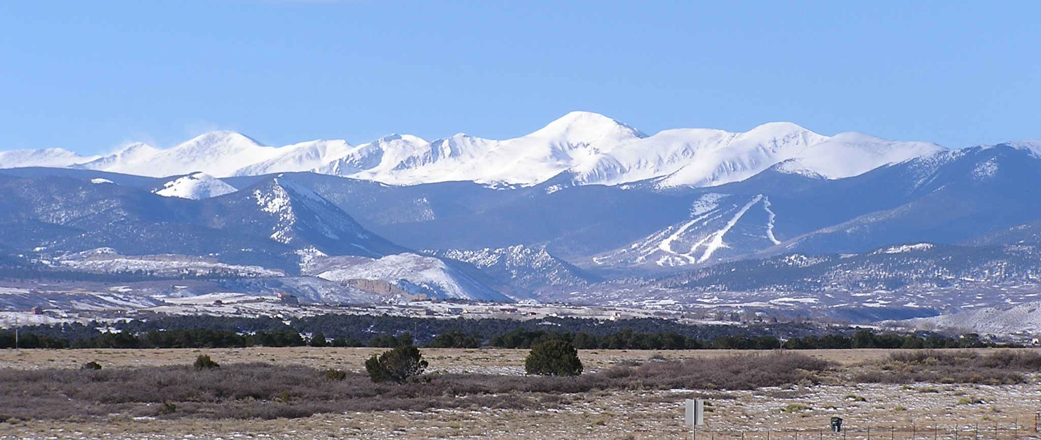
Sangre de Cristo Mountains

Aguilar & Spanish Peaks

Awesome view
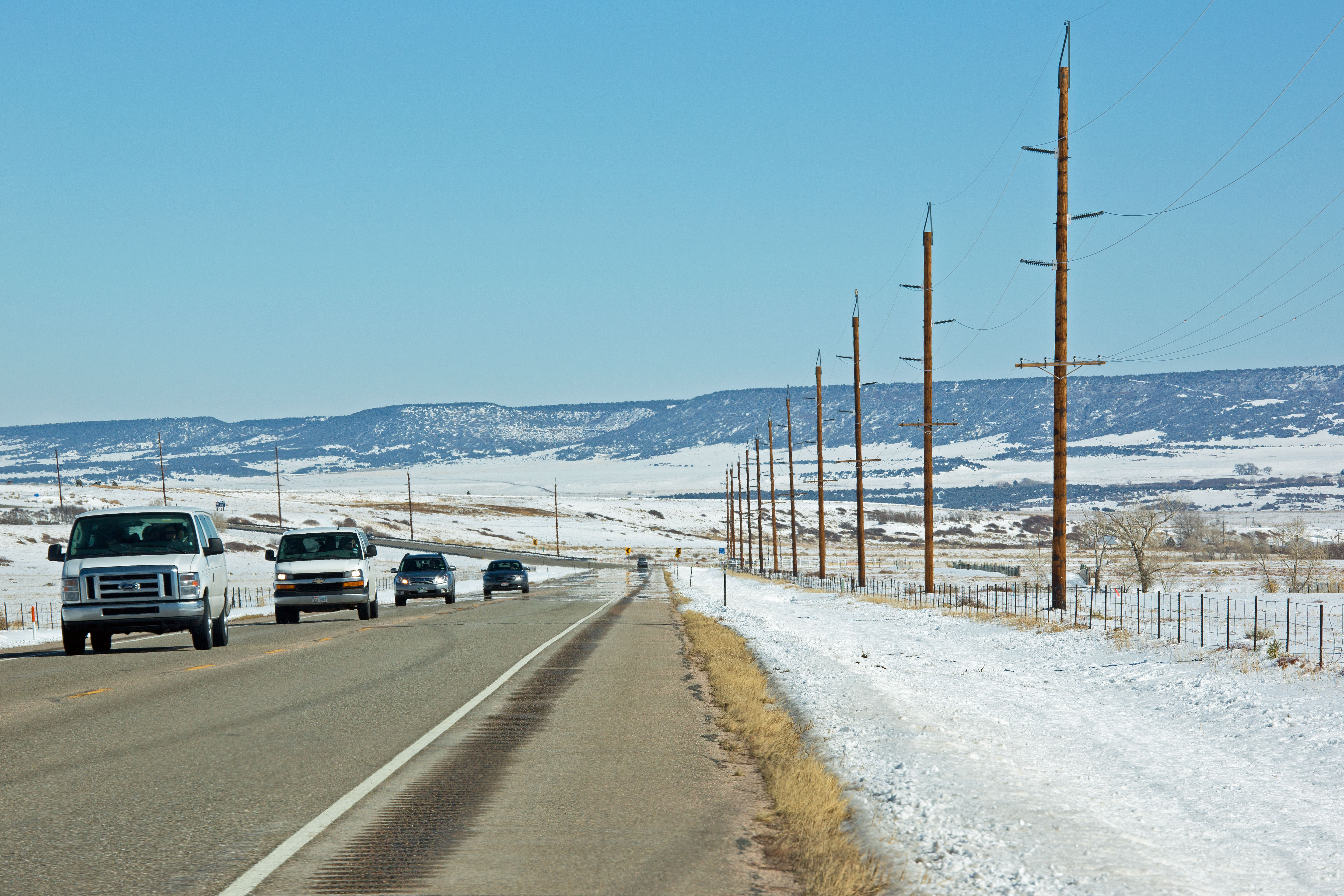
Route 160, Colorado

Yet another lake view
Another lake view

Western view at sunrise

Mt. Mestas - II, Sangre de Cristo Range, CO, April, 2017
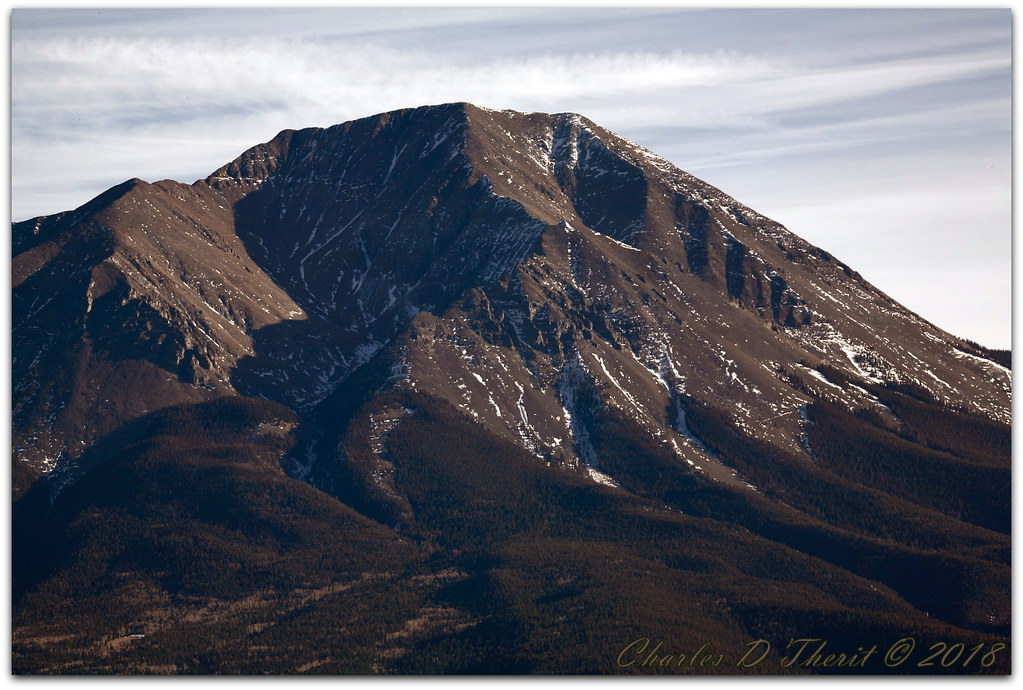
West Spanish Peak

West Spanish Peak

The Spanish Peaks

Winter without Winter

Goemmer Butte

From Hoboken to La Veta

Lunar Alpenglow And Milky Way Skies At West Spanish Peak

The Spring Fire: Helicopters

Flowers In A Field

Spanish Peaks, U.S. Route 160 West of Walsenburg, Colorado

U.S. Route 160 West Between Walsenburg and Alamosa, Colorado

Geological Formation

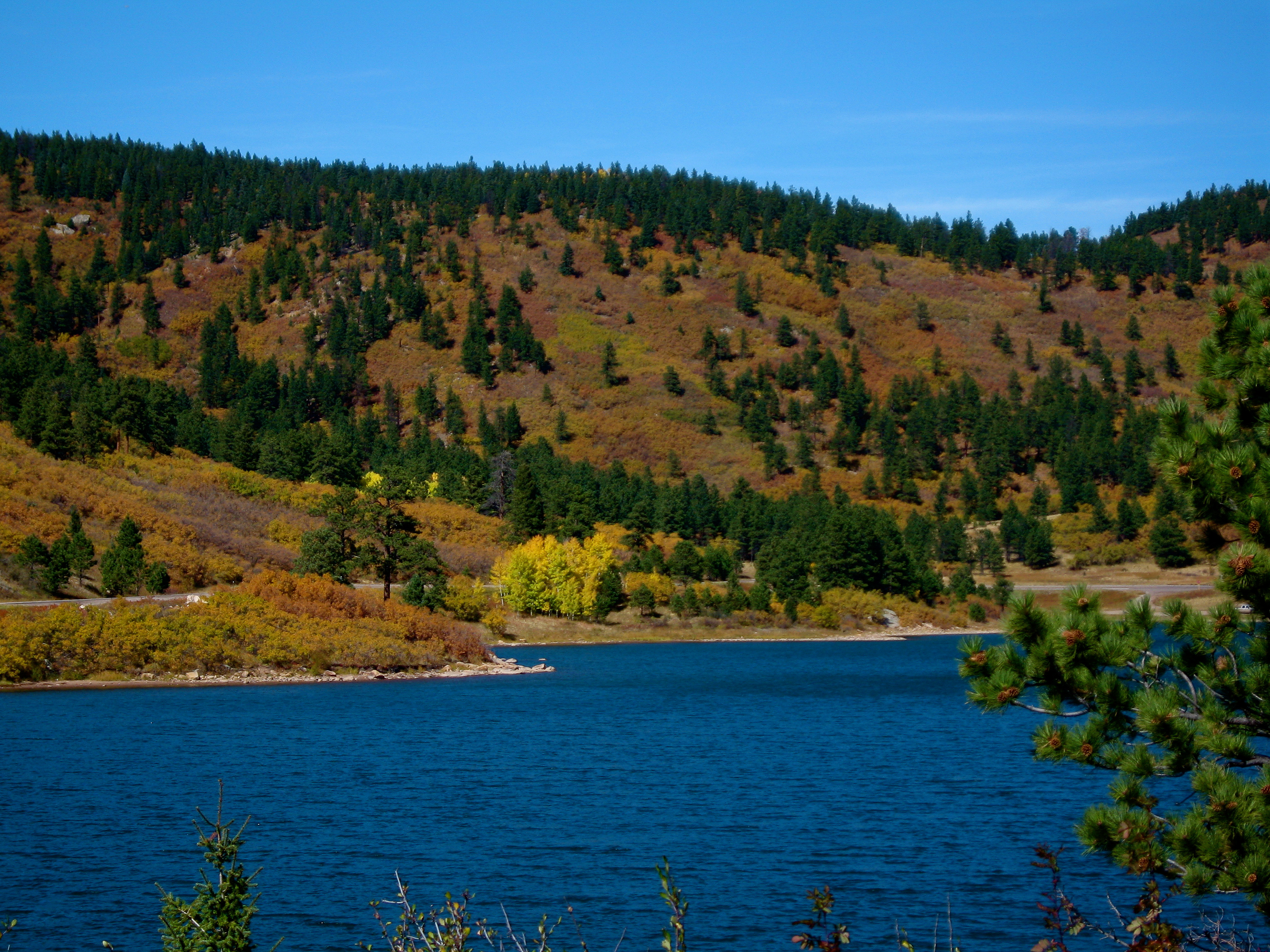
Daigre Lake - La Veta, CO

Spanish Peaks and Gomer Butte

The Rockies

All Roads

West Peak Radiance

Storm Approaching
Topographic Map of County Rd, La Veta, CO, USA
Find elevation by address:

Places near County Rd, La Veta, CO, USA:
458 Arrowhead Dr
341 Arrowhead Dr
Willis Drive
Raspberry Mountain Ranch
205 Arrowhead Dr
La Veta
31 Grandote Dr
121 Cascade St
Capture Colorado Real Estate
12 Park St
Big Wall Lane
6501 Co-12
633 Indian Creek Rd
363 Vega Rd
363 Vega Rd
9697 Co-12
Elk Trail
1188 Cherokee Dr
88 Buffalo Dr N
20 Moose Trail
Recent Searches:
- Elevation of Shibuya Scramble Crossing, 21 Udagawacho, Shibuya City, Tokyo -, Japan
- Elevation of Jadagoniai, Kaunas District Municipality, Lithuania
- Elevation of Pagonija rock, Kranto 7-oji g. 8"N, Kaunas, Lithuania
- Elevation of Co Rd 87, Jamestown, CO, USA
- Elevation of Tenjo, Cundinamarca, Colombia
- Elevation of Côte-des-Neiges, Montreal, QC H4A 3J6, Canada
- Elevation of Bobcat Dr, Helena, MT, USA
- Elevation of Zu den Ihlowbergen, Althüttendorf, Germany
- Elevation of Badaber, Peshawar, Khyber Pakhtunkhwa, Pakistan
- Elevation of SE Heron Loop, Lincoln City, OR, USA