Elevation of Klamath River, CA, USA
Location: United States > California > Siskiyou County >
Longitude: -122.82558
Latitude: 41.8612461
Elevation: 530m / 1739feet
Barometric Pressure: 95KPa
Elevation Map:
Satellite Map:
Related Photos:
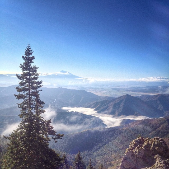
Beautiful view from Cottonwood Mtn this morning. It's fun to see the tops of clouds before they roll over the summit. ⬆️
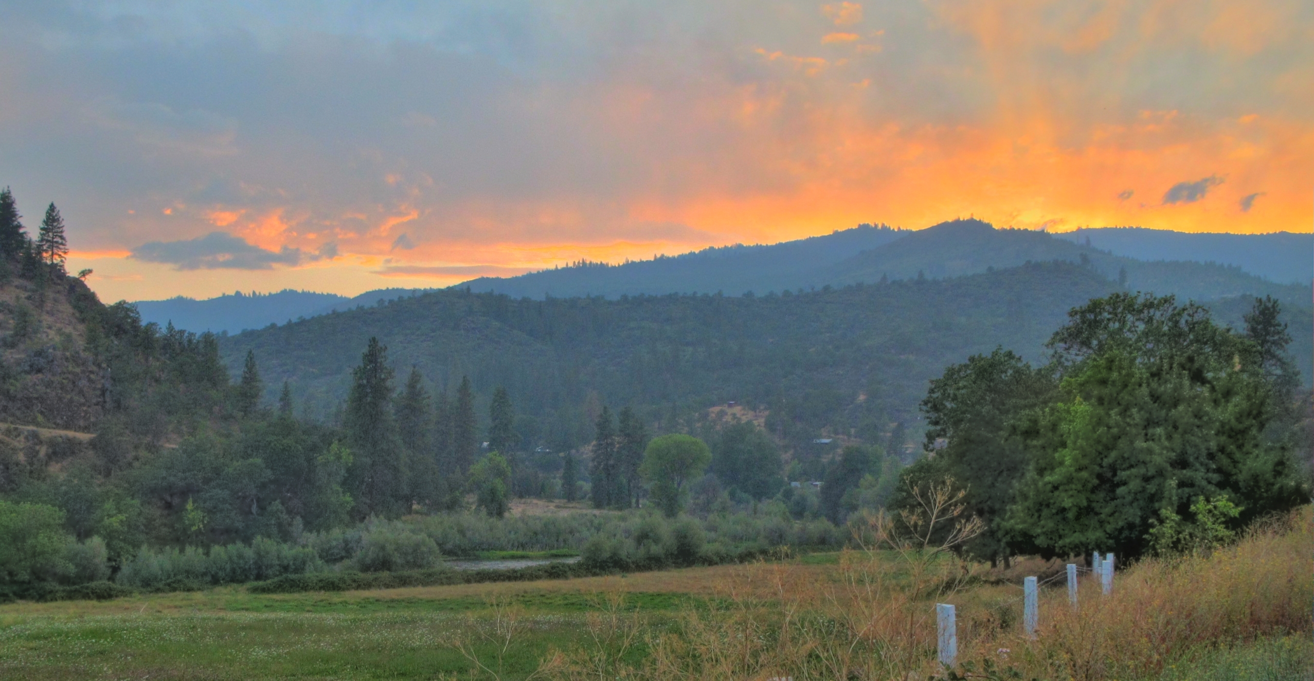
Klamath River Sunset

Trichodes ornatus (Cleridae)

_7290049.NEF
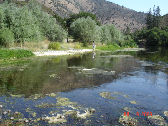
Klamath River
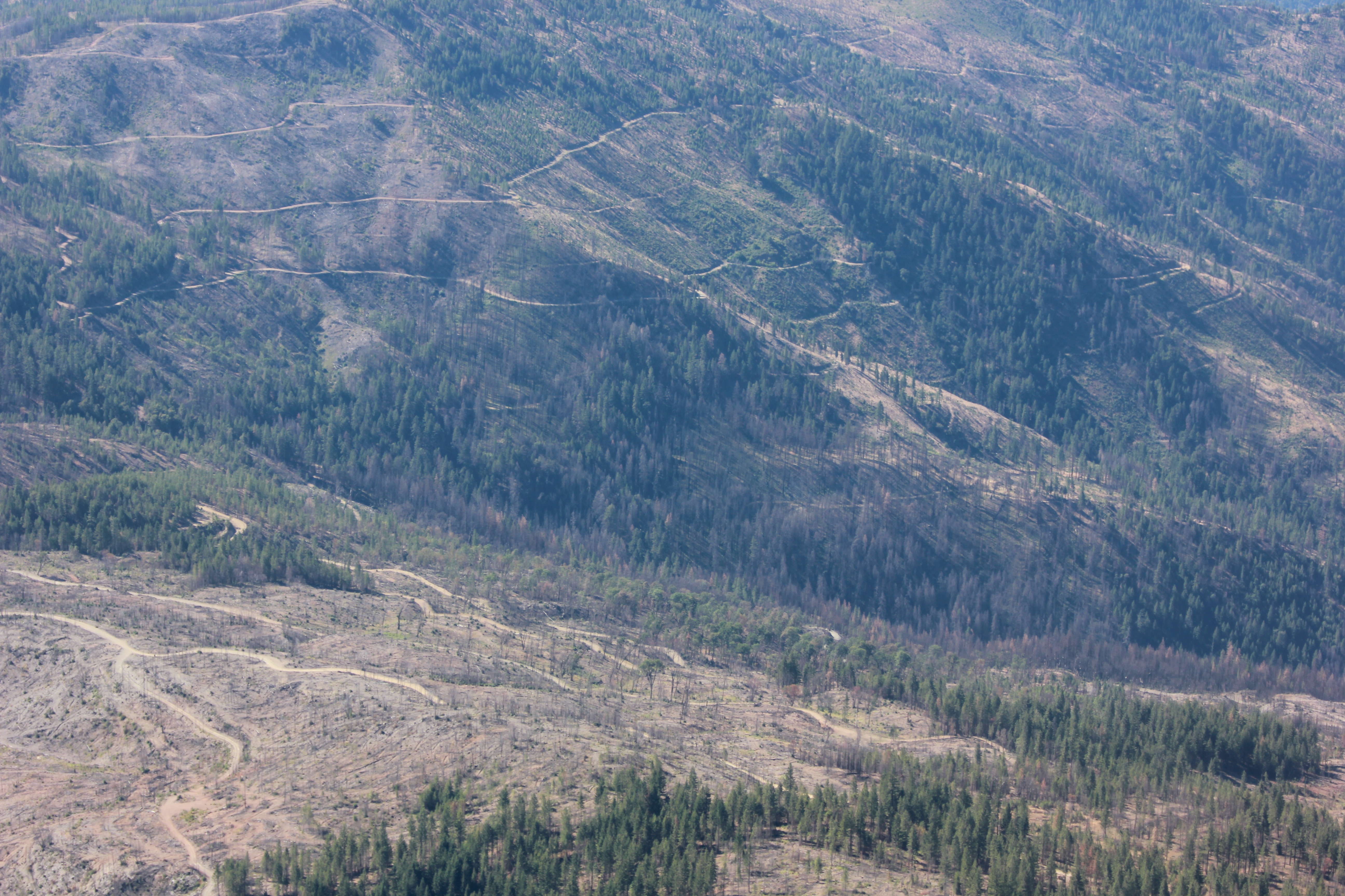
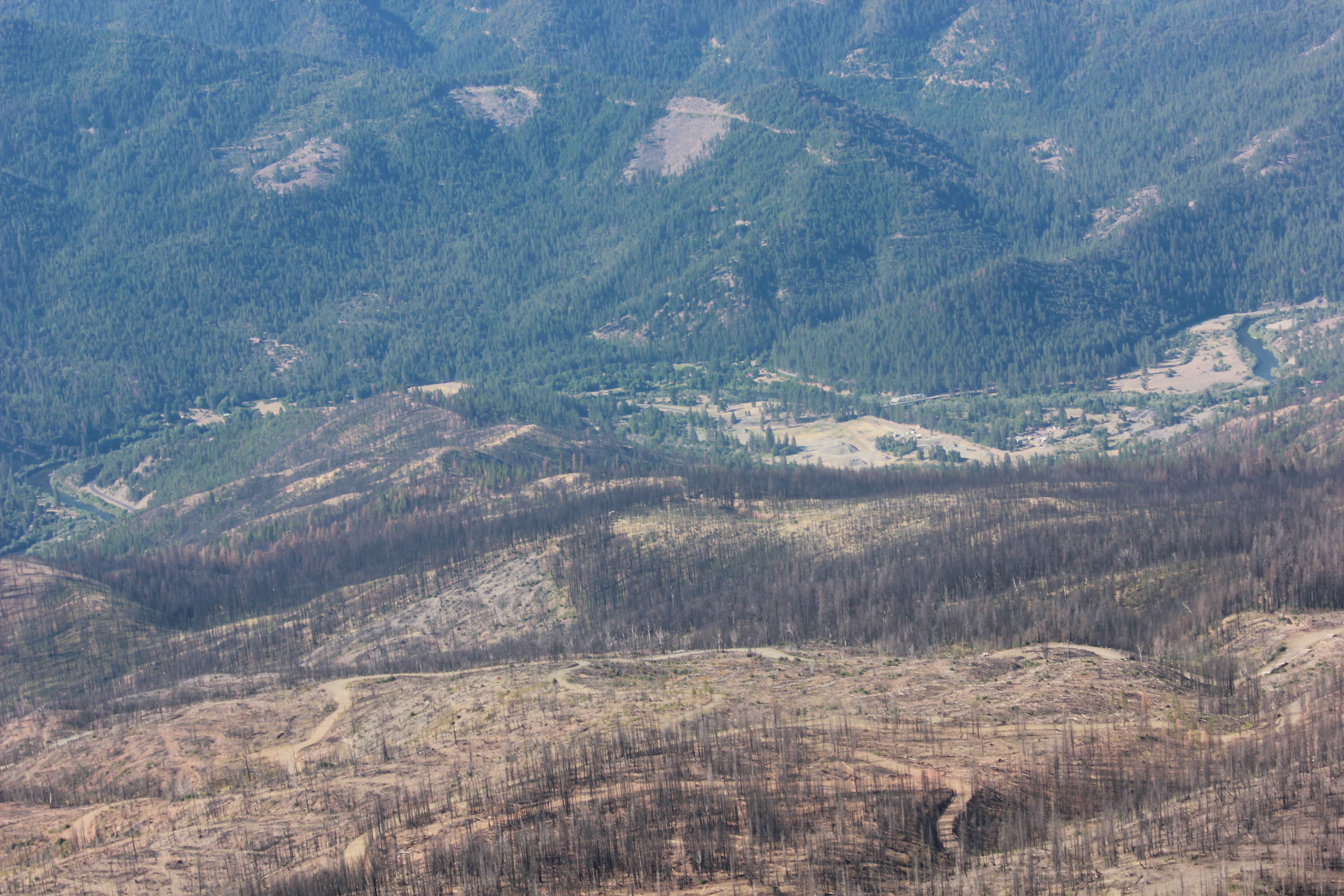
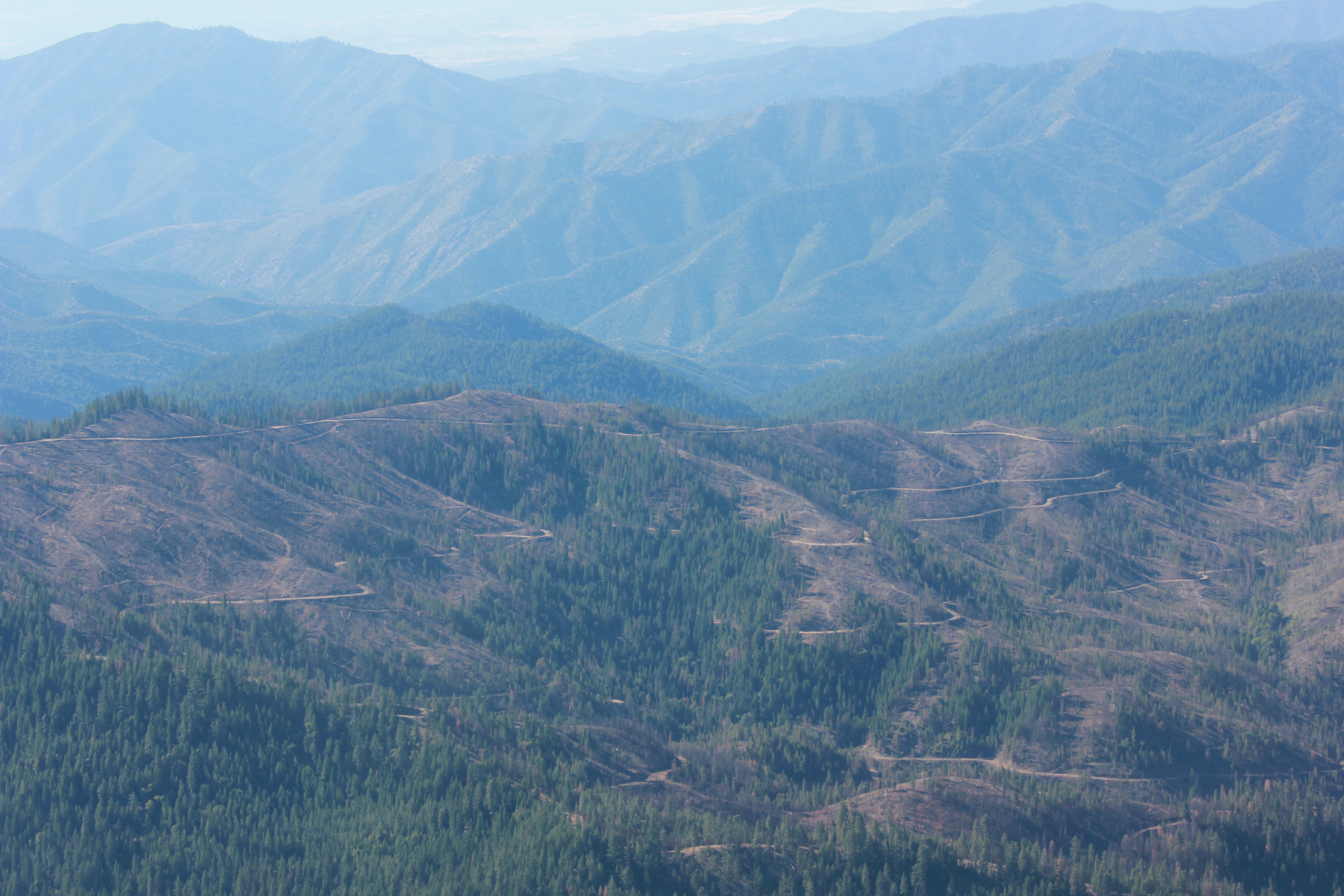
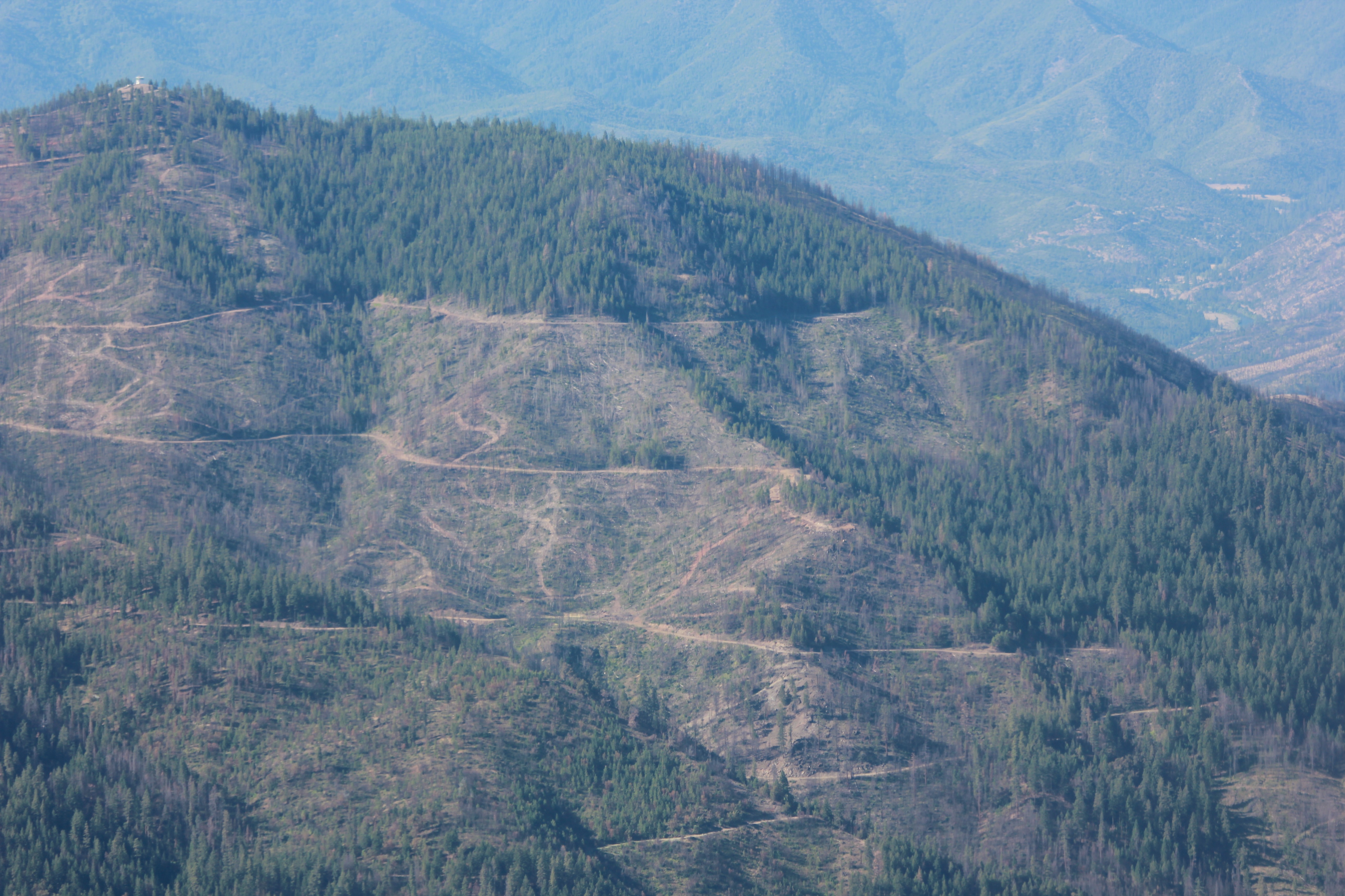
Westside salvage logging
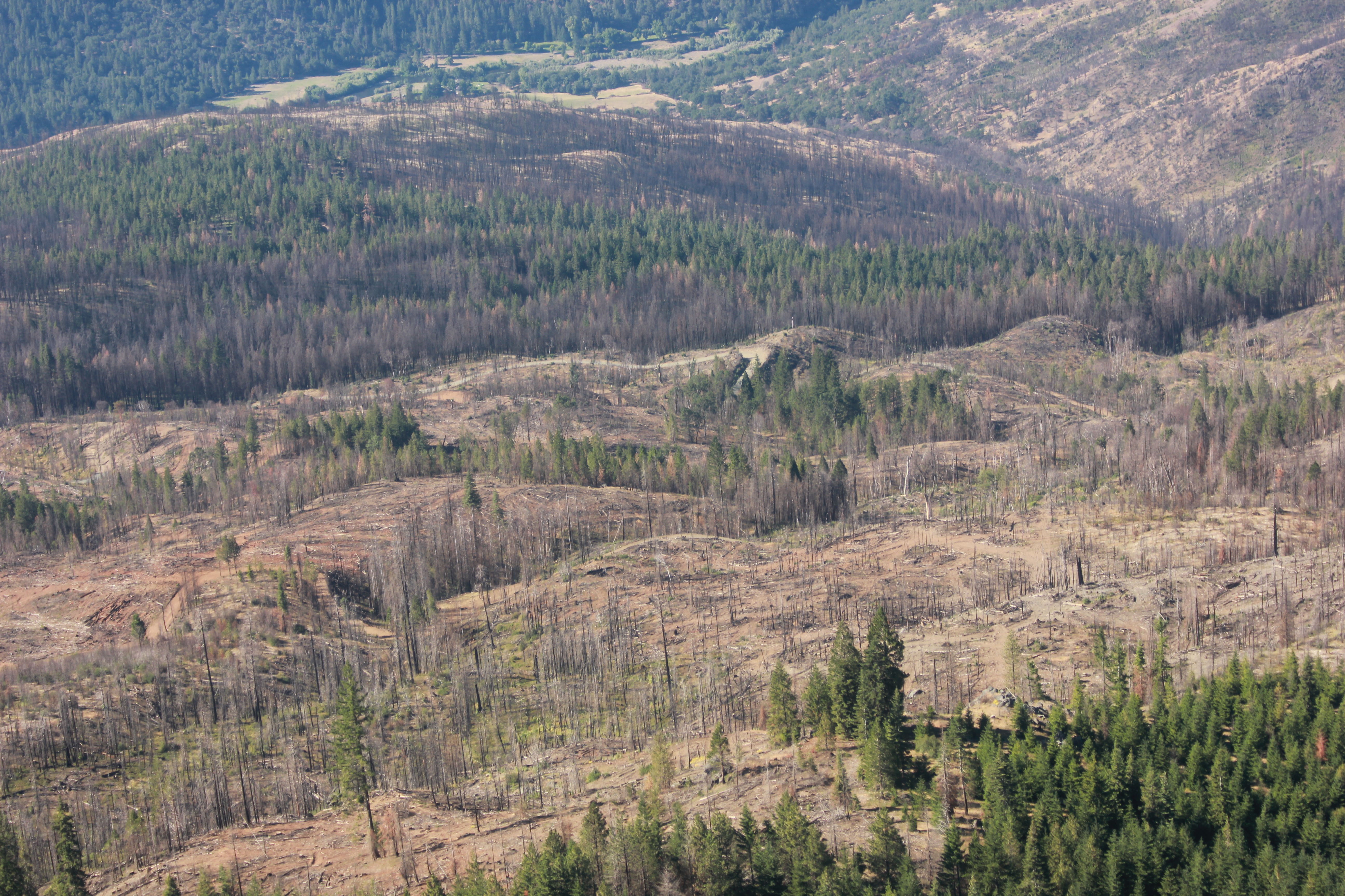
Westside salvage logging
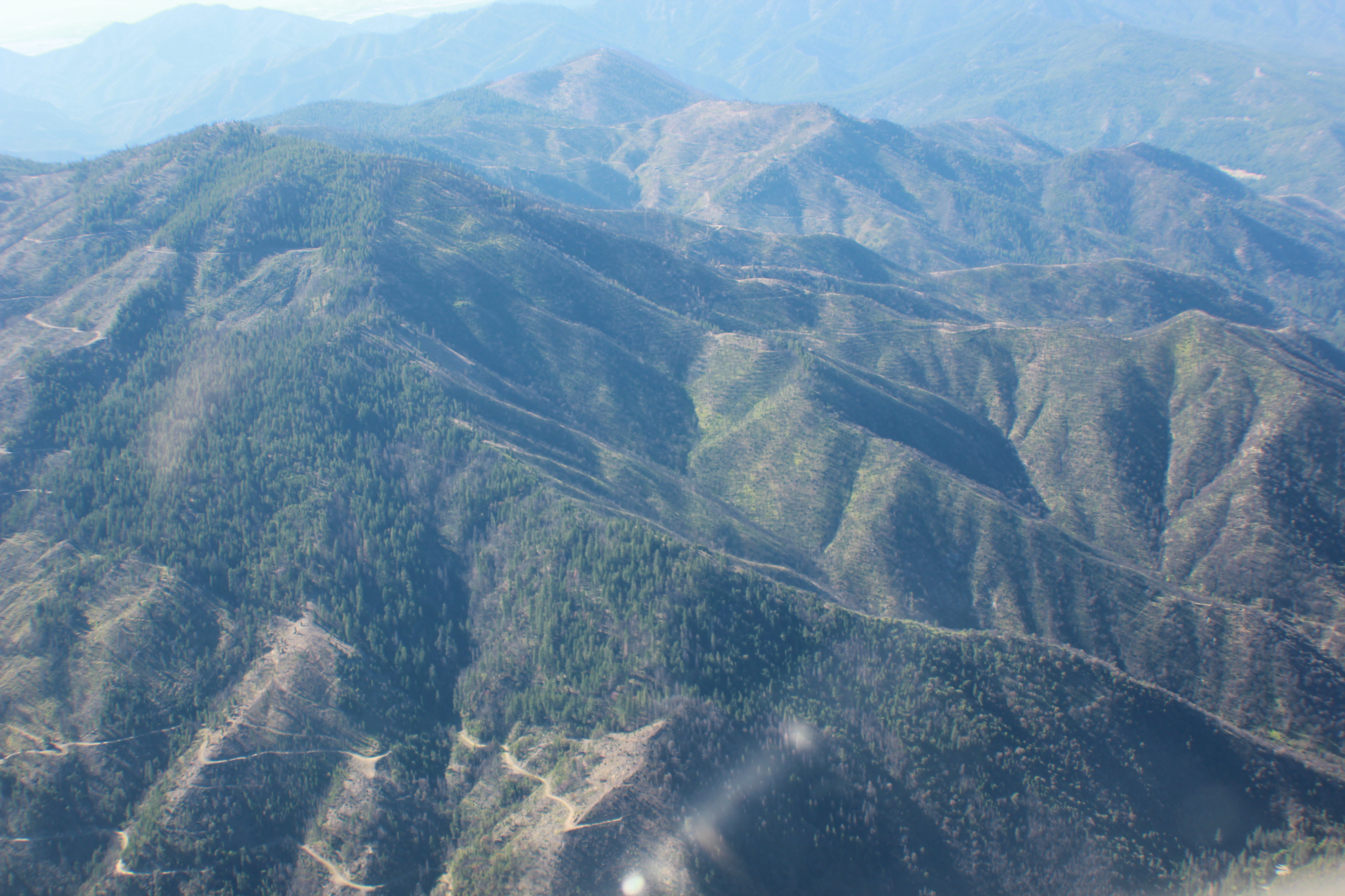
Westside salvage logging
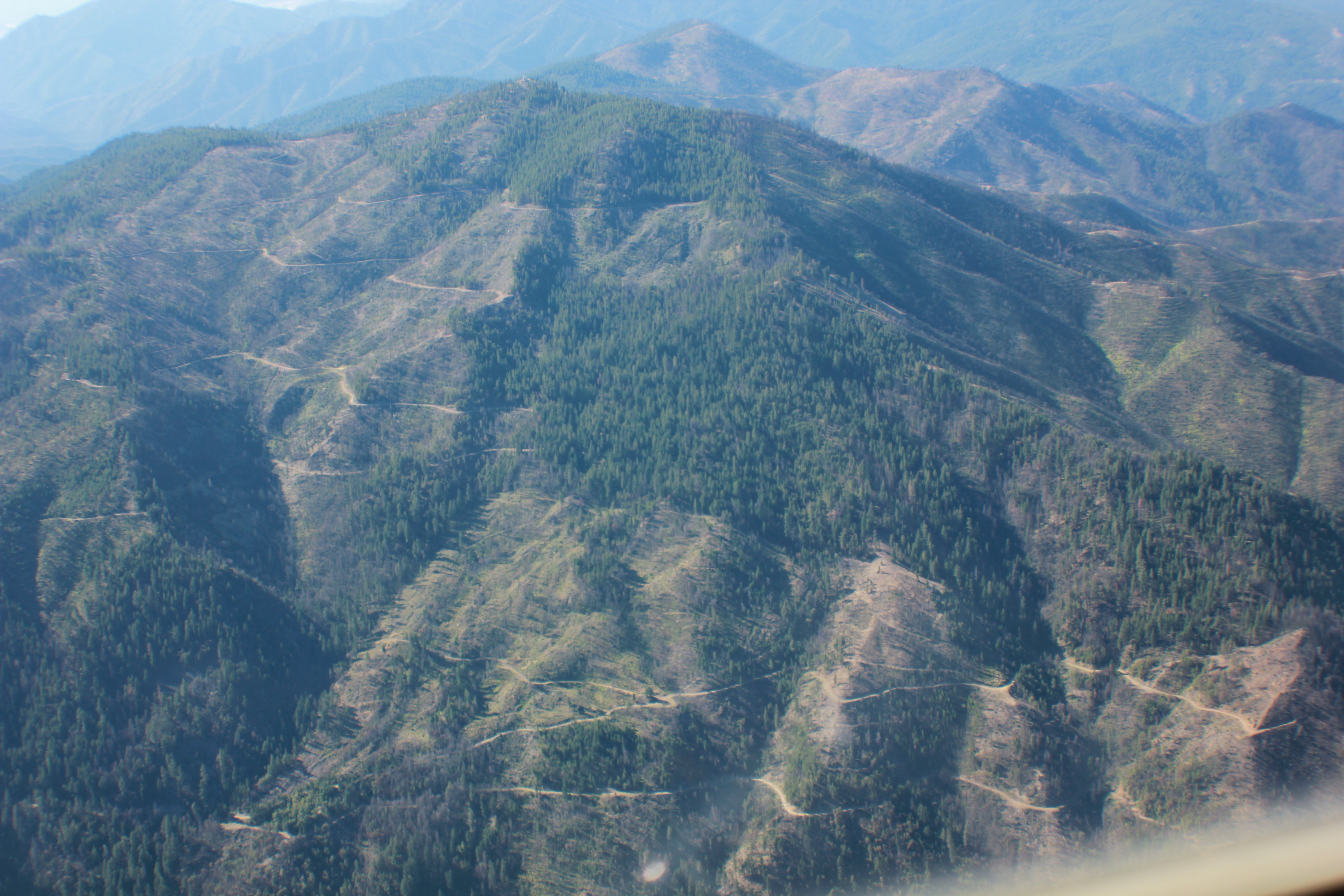
Westside salvage logging
Westside salvage logging
Westside salvage logging
Westside salvage logging
Topographic Map of Klamath River, CA, USA
Find elevation by address:

Places in Klamath River, CA, USA:
Places near Klamath River, CA, USA:
17905 Ca-96
221 Lockhaven Dr
21935 Ca-96
Lower Beaver Creek Campground
CA-96, Yreka, CA, USA
CA-96, Klamath River, CA, USA
Horse Creek
Indian Creek Rd, Fort Jones, CA, USA
Klamath River
1108 Northridge Dr
Scott Bar
Scott River Rd, Scott Bar, CA, USA
North Street
29103 Scott River Rd
CA-, Yreka, CA, USA
Yreka
2245 Colestin Rd
2216 Colestin Rd
1833 W Moffett Creek Rd
1833 W Moffett Creek Rd
Recent Searches:
- Elevation of Congressional Dr, Stevensville, MD, USA
- Elevation of Bellview Rd, McLean, VA, USA
- Elevation of Stage Island Rd, Chatham, MA, USA
- Elevation of Shibuya Scramble Crossing, 21 Udagawacho, Shibuya City, Tokyo -, Japan
- Elevation of Jadagoniai, Kaunas District Municipality, Lithuania
- Elevation of Pagonija rock, Kranto 7-oji g. 8"N, Kaunas, Lithuania
- Elevation of Co Rd 87, Jamestown, CO, USA
- Elevation of Tenjo, Cundinamarca, Colombia
- Elevation of Côte-des-Neiges, Montreal, QC H4A 3J6, Canada
- Elevation of Bobcat Dr, Helena, MT, USA