Elevation of CA-96, Klamath River, CA, USA
Location: United States > California > Siskiyou County > Klamath River >
Longitude: -122.82495
Latitude: 41.8625663
Elevation: 544m / 1785feet
Barometric Pressure: 95KPa
Elevation Map:
Satellite Map:
Related Photos:
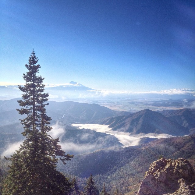
Beautiful view from Cottonwood Mtn this morning. It's fun to see the tops of clouds before they roll over the summit. ⬆️

Trichodes ornatus (Cleridae)
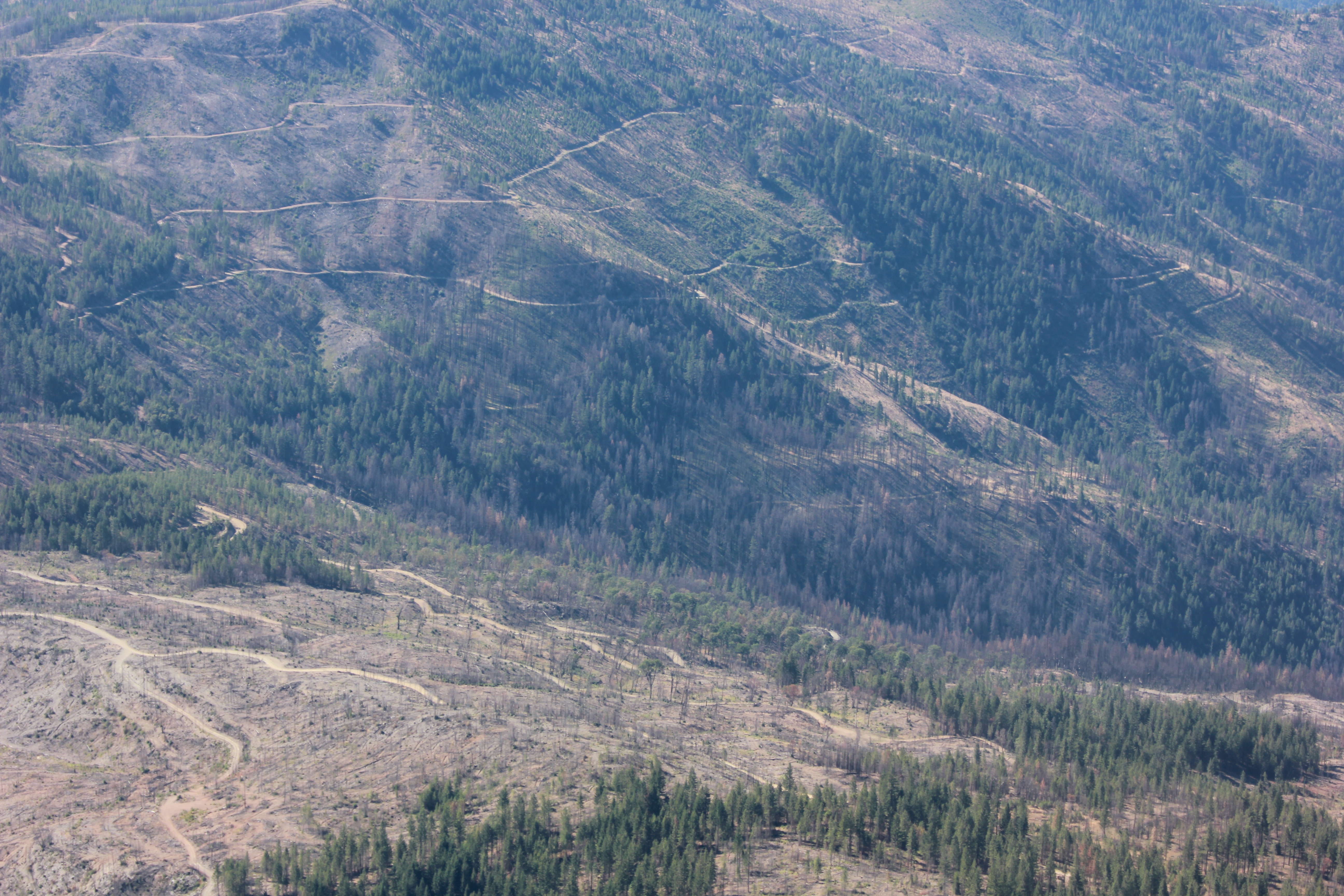
Westside salvage logging
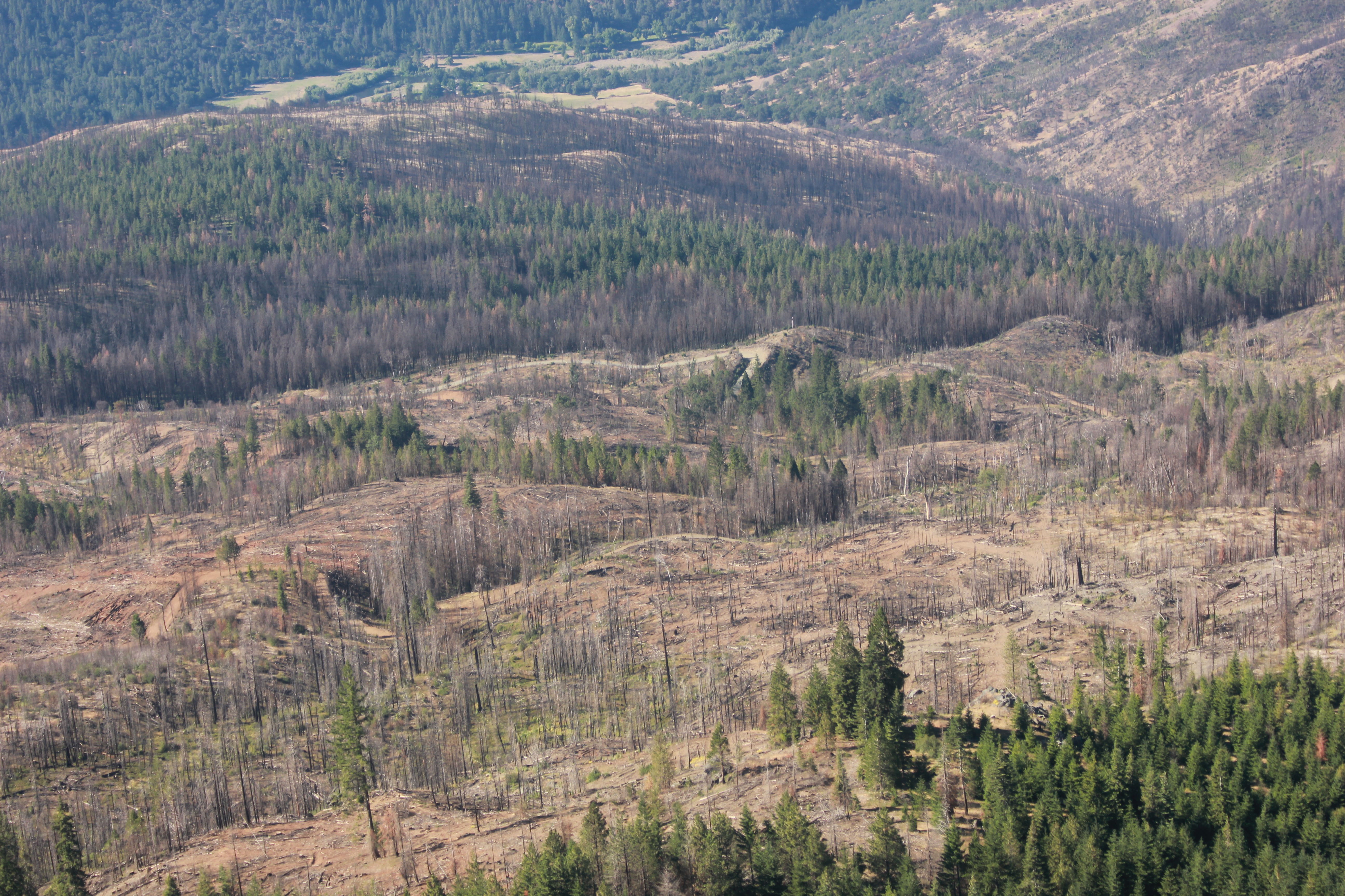
Westside salvage logging
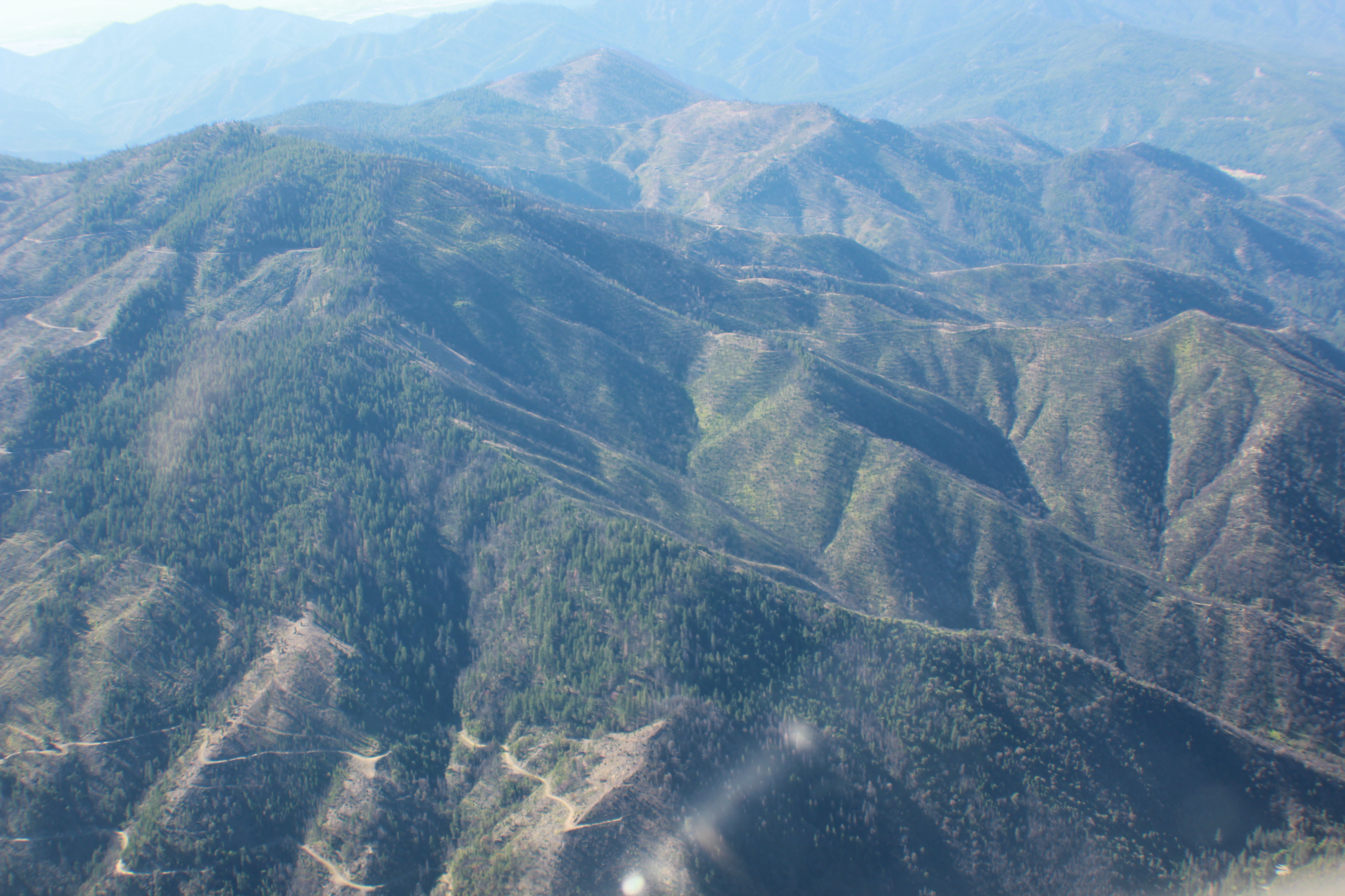
Westside salvage logging
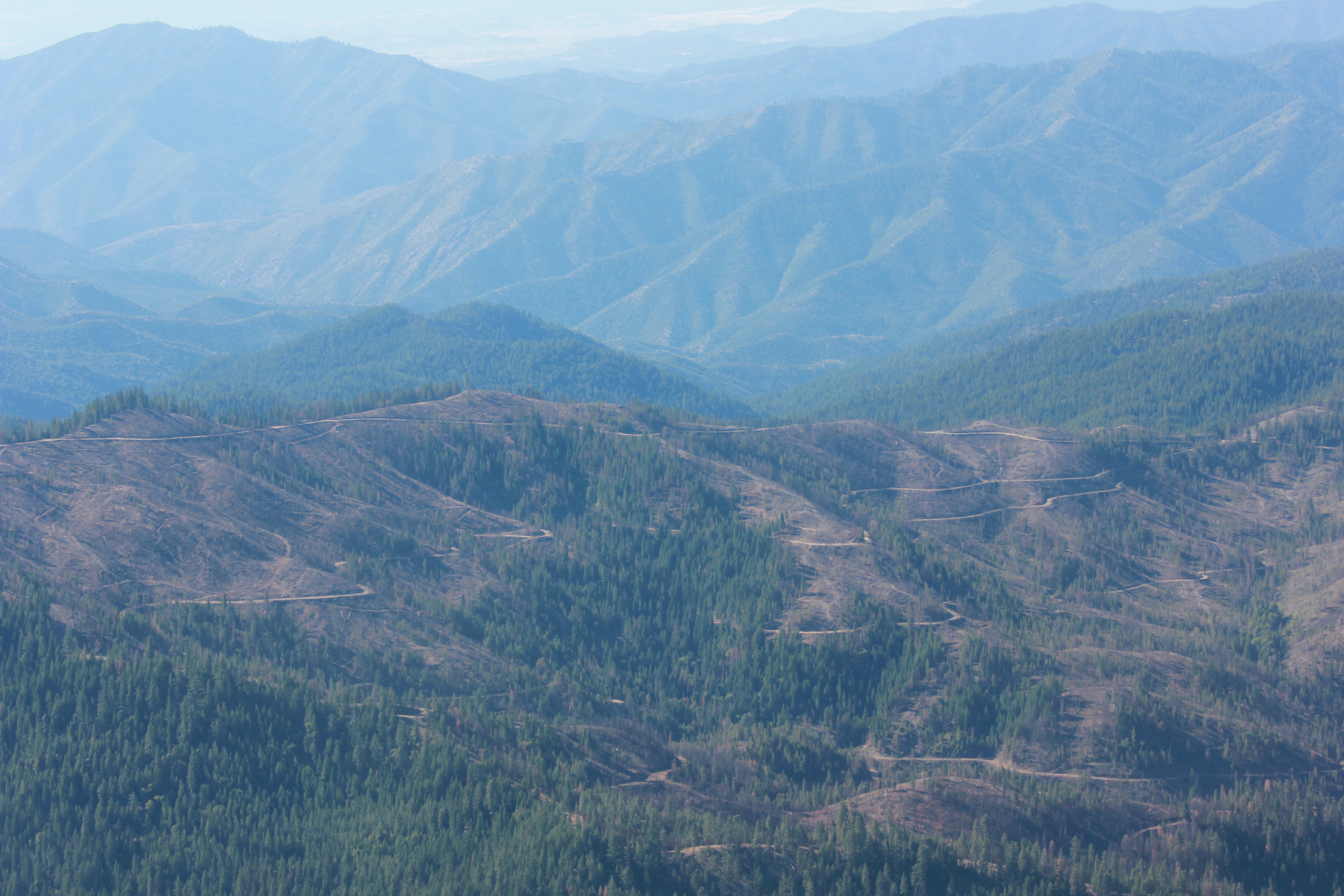
Westside salvage logging
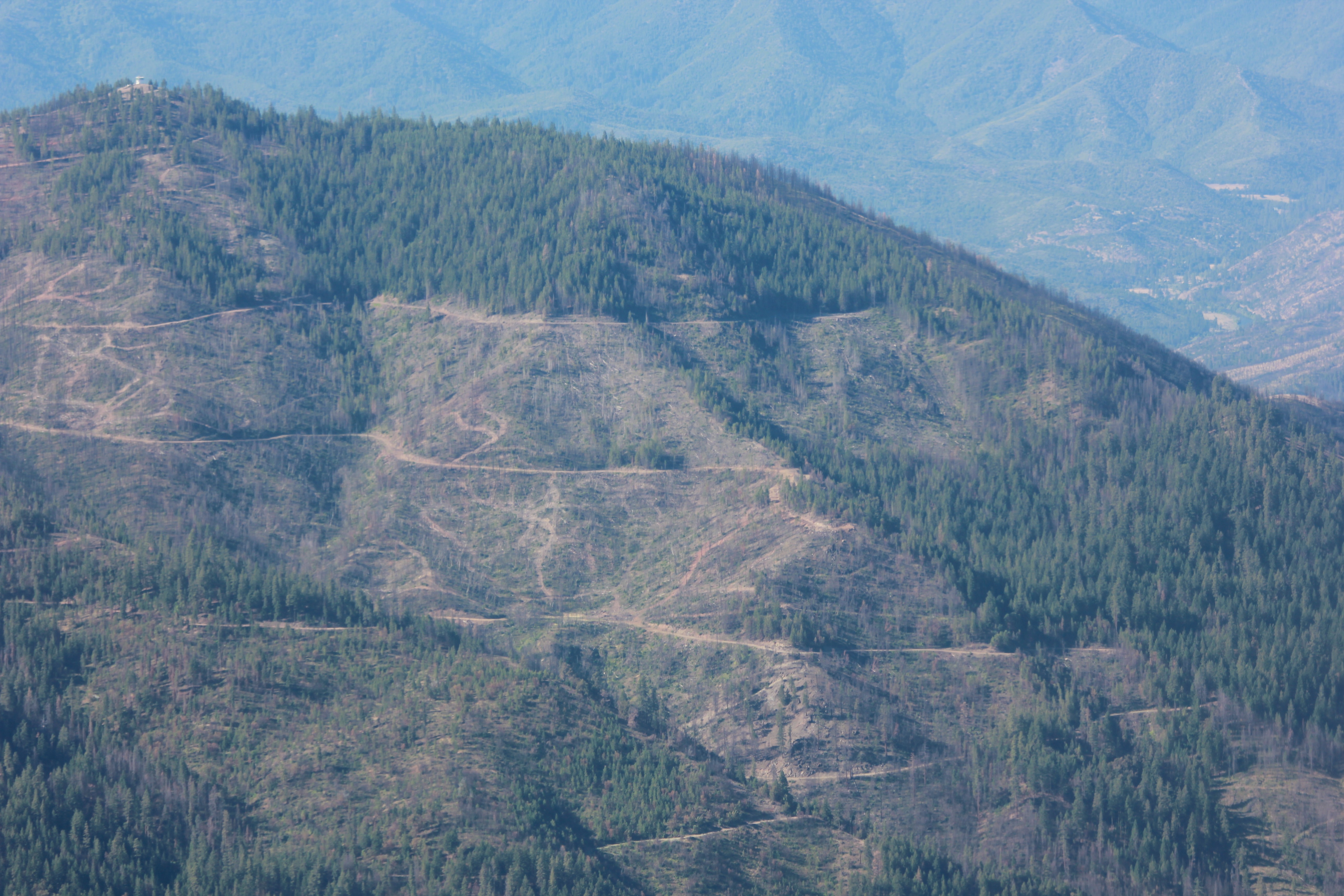
Westside salvage logging
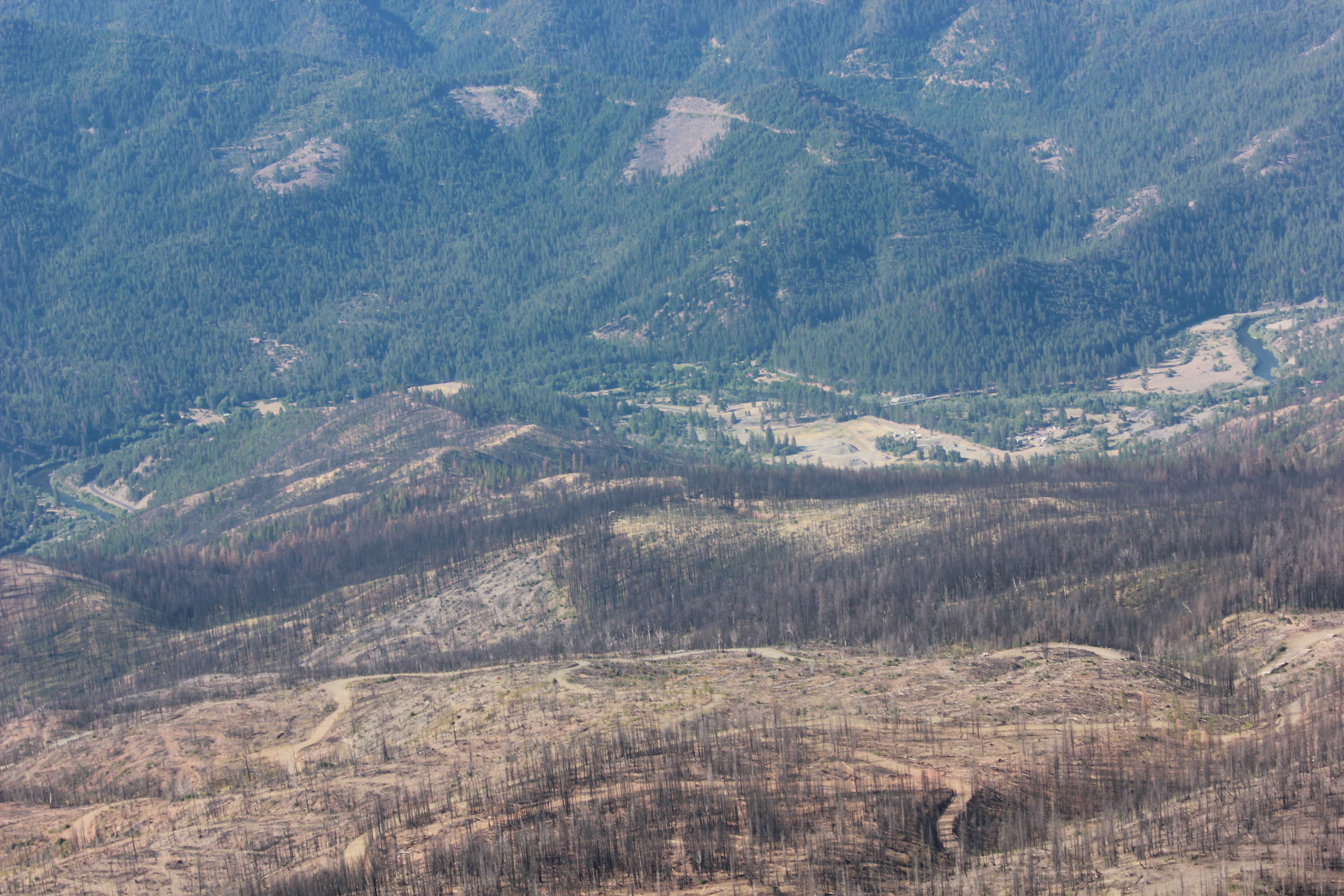
Westside salvage logging

_7290049.NEF
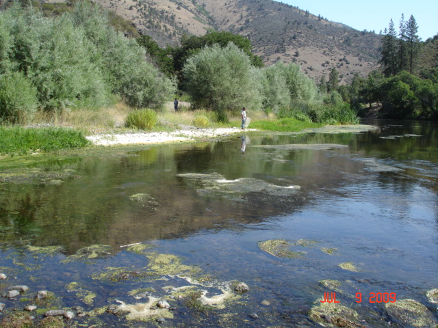
Klamath River
Topographic Map of CA-96, Klamath River, CA, USA
Find elevation by address:

Places near CA-96, Klamath River, CA, USA:
Klamath River
221 Lockhaven Dr
21935 Ca-96
Lower Beaver Creek Campground
CA-96, Yreka, CA, USA
CA-96, Klamath River, CA, USA
Horse Creek
Indian Creek Rd, Fort Jones, CA, USA
Klamath River
1108 Northridge Dr
Scott Bar
Scott River Rd, Scott Bar, CA, USA
North Street
29103 Scott River Rd
CA-, Yreka, CA, USA
Yreka
2245 Colestin Rd
2216 Colestin Rd
Klamath River Hwy, Yreka, CA, USA
1833 W Moffett Creek Rd
Recent Searches:
- Elevation of 7 Waterfall Way, Tomball, TX, USA
- Elevation of SW 57th Ave, Portland, OR, USA
- Elevation of Crocker Dr, Vacaville, CA, USA
- Elevation of Pu Ngaol Community Meeting Hall, HWHM+3X7, Krong Saen Monourom, Cambodia
- Elevation of Royal Ontario Museum, Queens Park, Toronto, ON M5S 2C6, Canada
- Elevation of Groblershoop, South Africa
- Elevation of Power Generation Enterprises | Industrial Diesel Generators, Oak Ave, Canyon Country, CA, USA
- Elevation of Chesaw Rd, Oroville, WA, USA
- Elevation of N, Mt Pleasant, UT, USA
- Elevation of 6 Rue Jules Ferry, Beausoleil, France