Elevation of Kirkhamgate, Wakefield WF2, UK
Location: United Kingdom > England > West Yorkshire >
Longitude: -1.546971
Latitude: 53.697954
Elevation: 87m / 285feet
Barometric Pressure: 100KPa
Elevation Map:
Satellite Map:
Related Photos:

Mistic light
Shepherds Delight

Loads of Sweet Food

Shed within a Shed
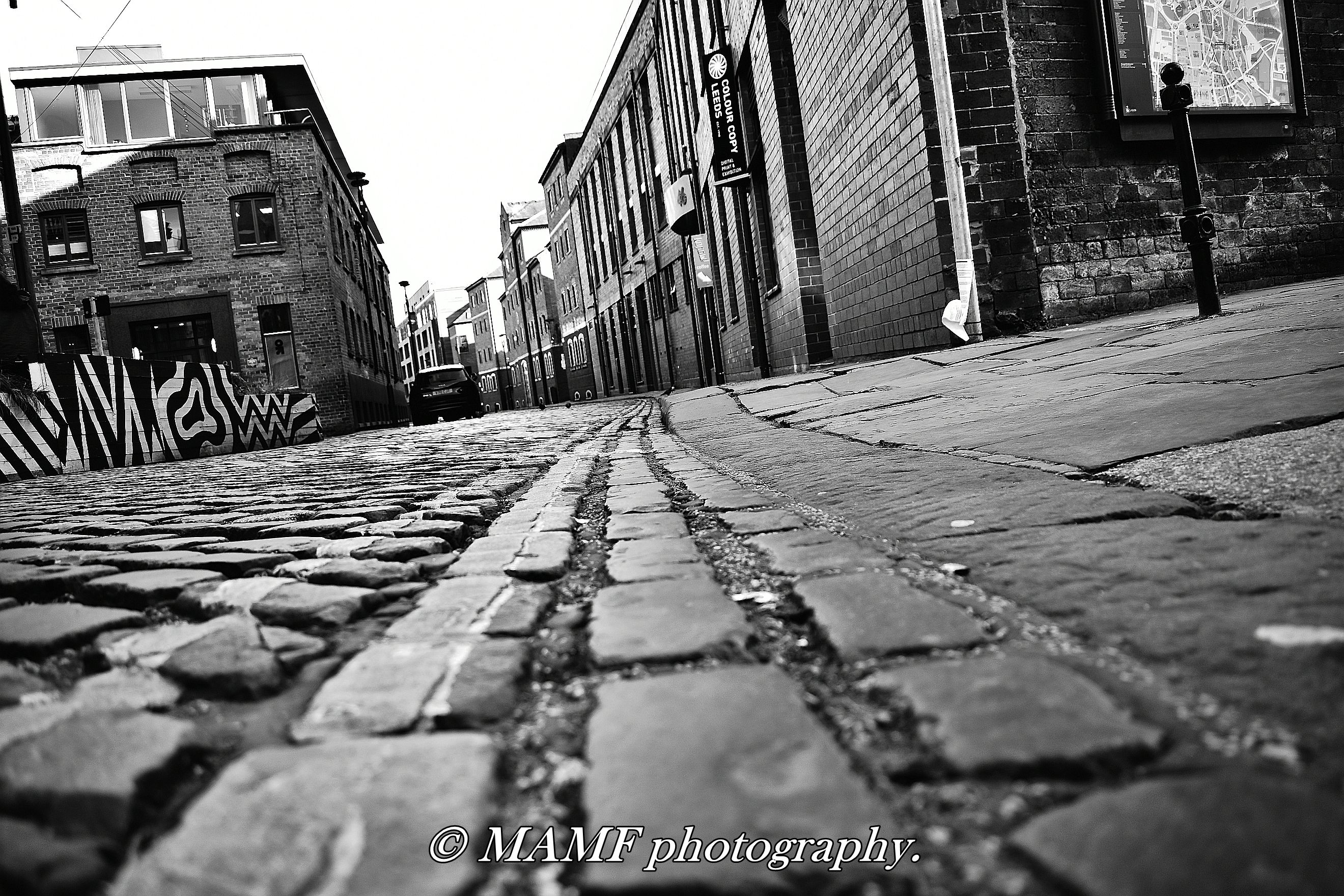
The Calls Leeds 1.

County Arcade

Catcher of light

Rear Ending the Year

Are you sitting comfortably?
Blue Monday

County Arcade Ceiling

Autumn on the ground.

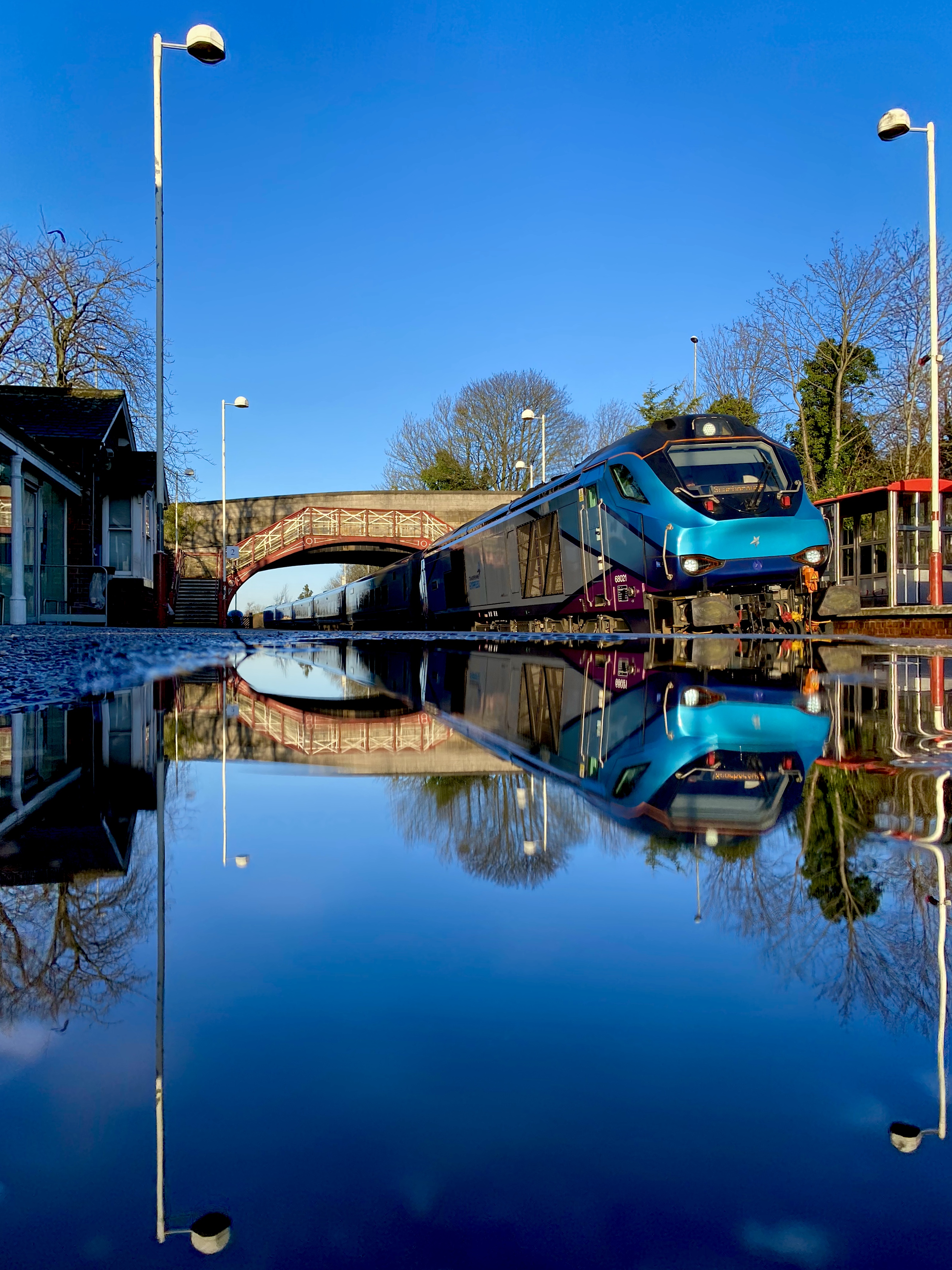
Speeding train.

Room with a view

Almost a Victorian look?

Stairway to heaven

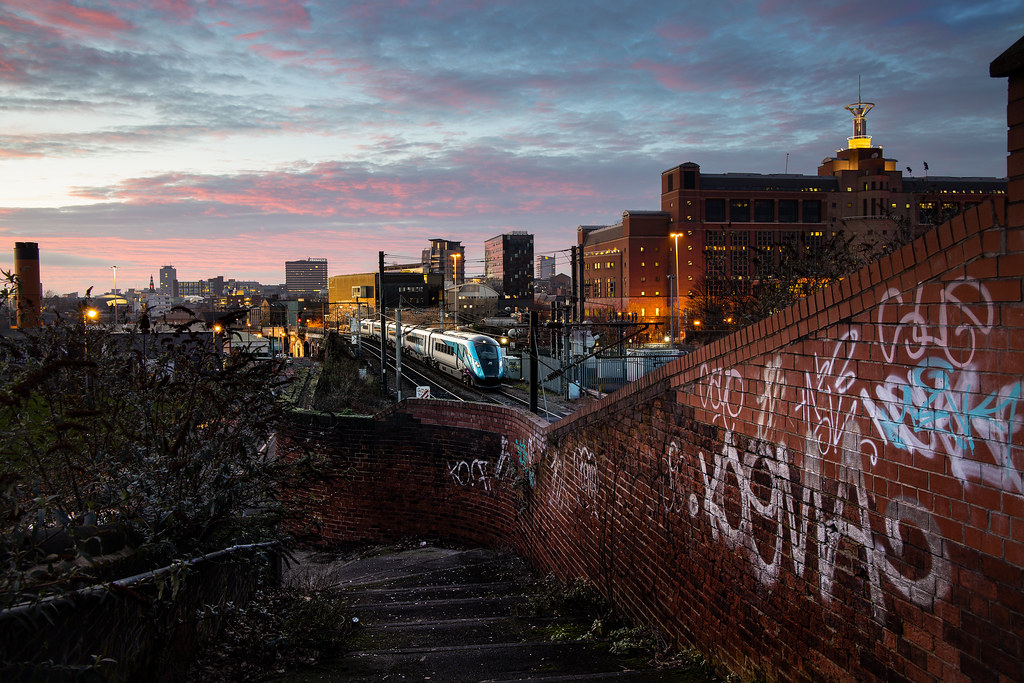
Low point of view Leeds.
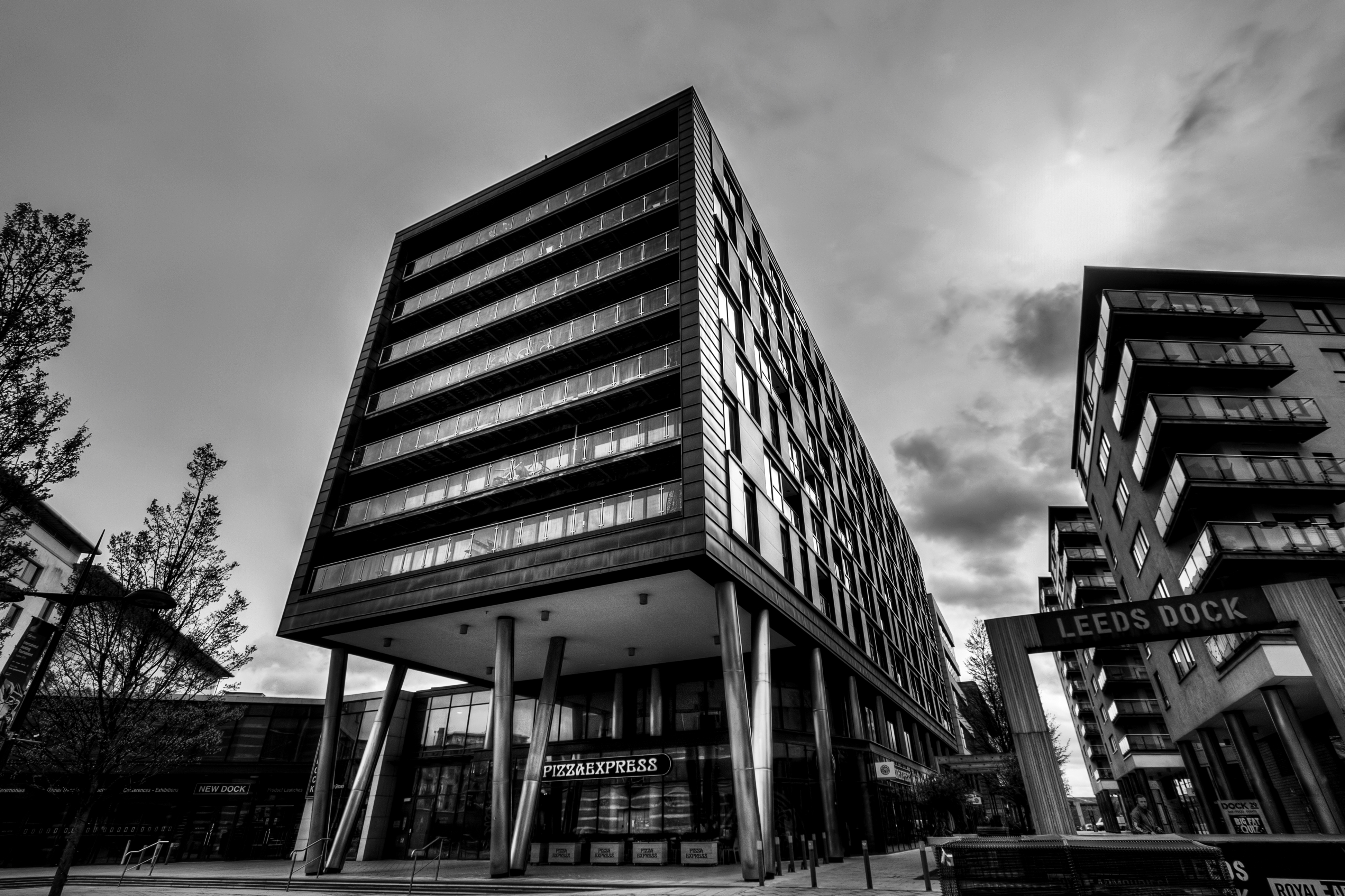
Leeds Dock

Gunthwaite Causey

Hall Of Steel

New Bank street Morley.
Topographic Map of Kirkhamgate, Wakefield WF2, UK
Find elevation by address:

Places near Kirkhamgate, Wakefield WF2, UK:
Wf1 2ap
Wf4 6nl
Ossett
Horbury
6 Golden Square, Horbury, Wakefield WF4 6LX, UK
Wf5 9jj
37 Bridle Ln, Ossett WF5 9PT, UK
2 Kings Paddock
Wakefield
Leeds Rd, Wakefield WF1 2HY, UK
Kings Lea
Acre Road
Pildacre Lane
Ls10 3hb
2 Leyburn Pl
Lofthouse
Middleton
Crigglestone
Wf4 3fb
Beacon Grove
Recent Searches:
- Elevation of Alisal Rd, Solvang, CA, USA
- Elevation of Vista Blvd, Sparks, NV, USA
- Elevation of 15th Ave SE, St. Petersburg, FL, USA
- Elevation of Beall Road, Beall Rd, Florida, USA
- Elevation of Leguwa, Nepal
- Elevation of County Rd, Enterprise, AL, USA
- Elevation of Kolchuginsky District, Vladimir Oblast, Russia
- Elevation of Shustino, Vladimir Oblast, Russia
- Elevation of Lampiasi St, Sarasota, FL, USA
- Elevation of Elwyn Dr, Roanoke Rapids, NC, USA