Elevation of Ossett, UK
Location: United Kingdom > England > West Yorkshire >
Longitude: -1.578877
Latitude: 53.681091
Elevation: 103m / 338feet
Barometric Pressure: 100KPa
Elevation Map:
Satellite Map:
Related Photos:

Mistic light
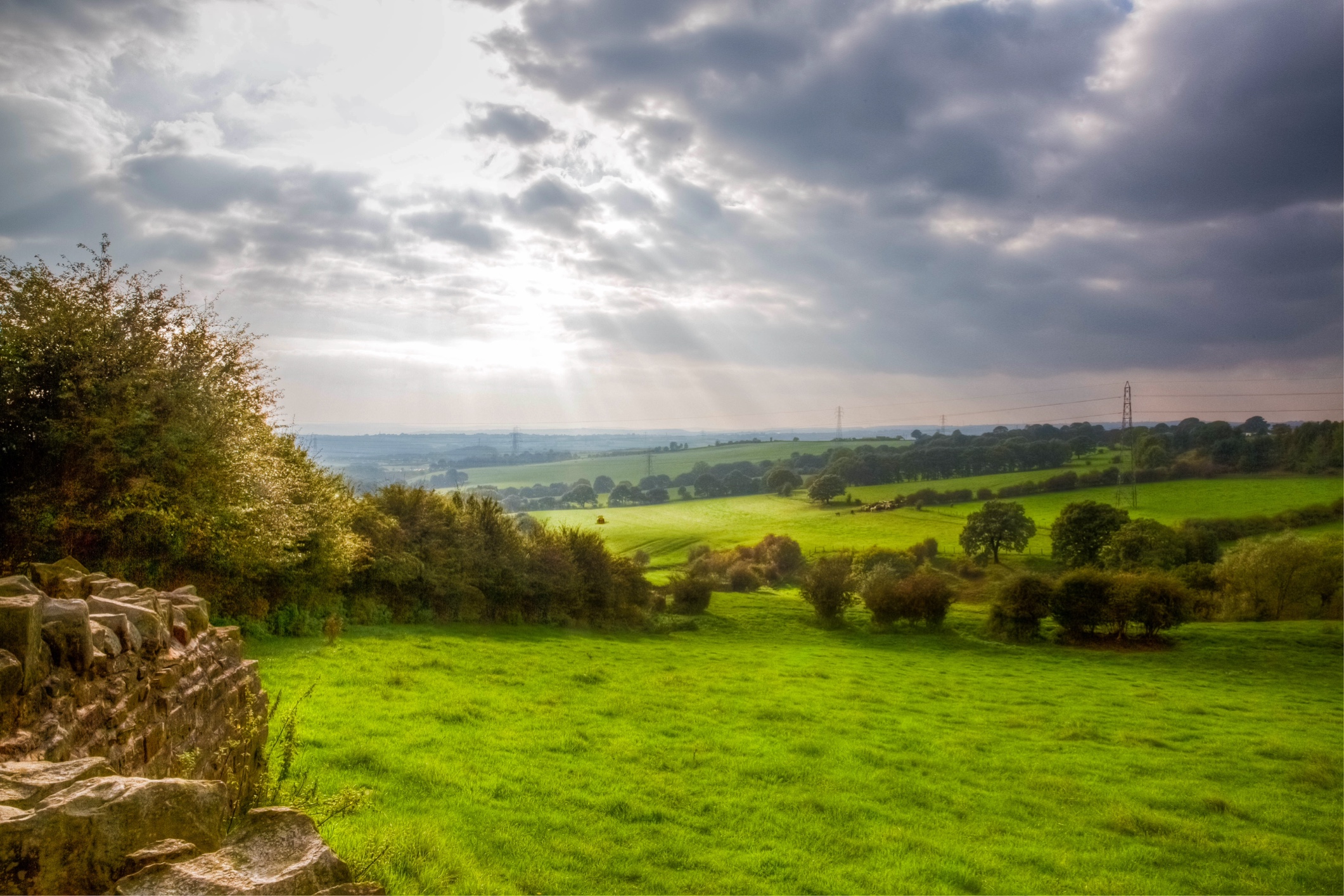
Valley view today

Take a seat and enjoy the view

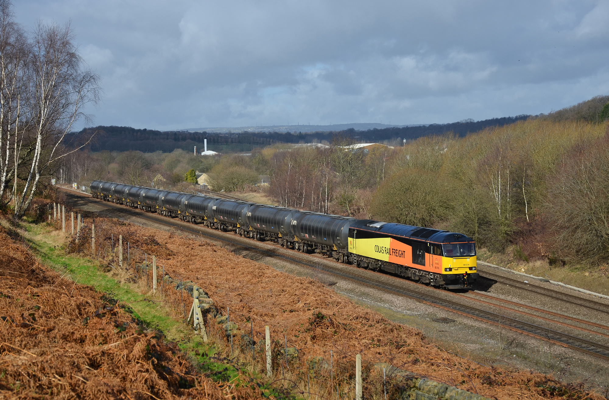
Railway Tracks
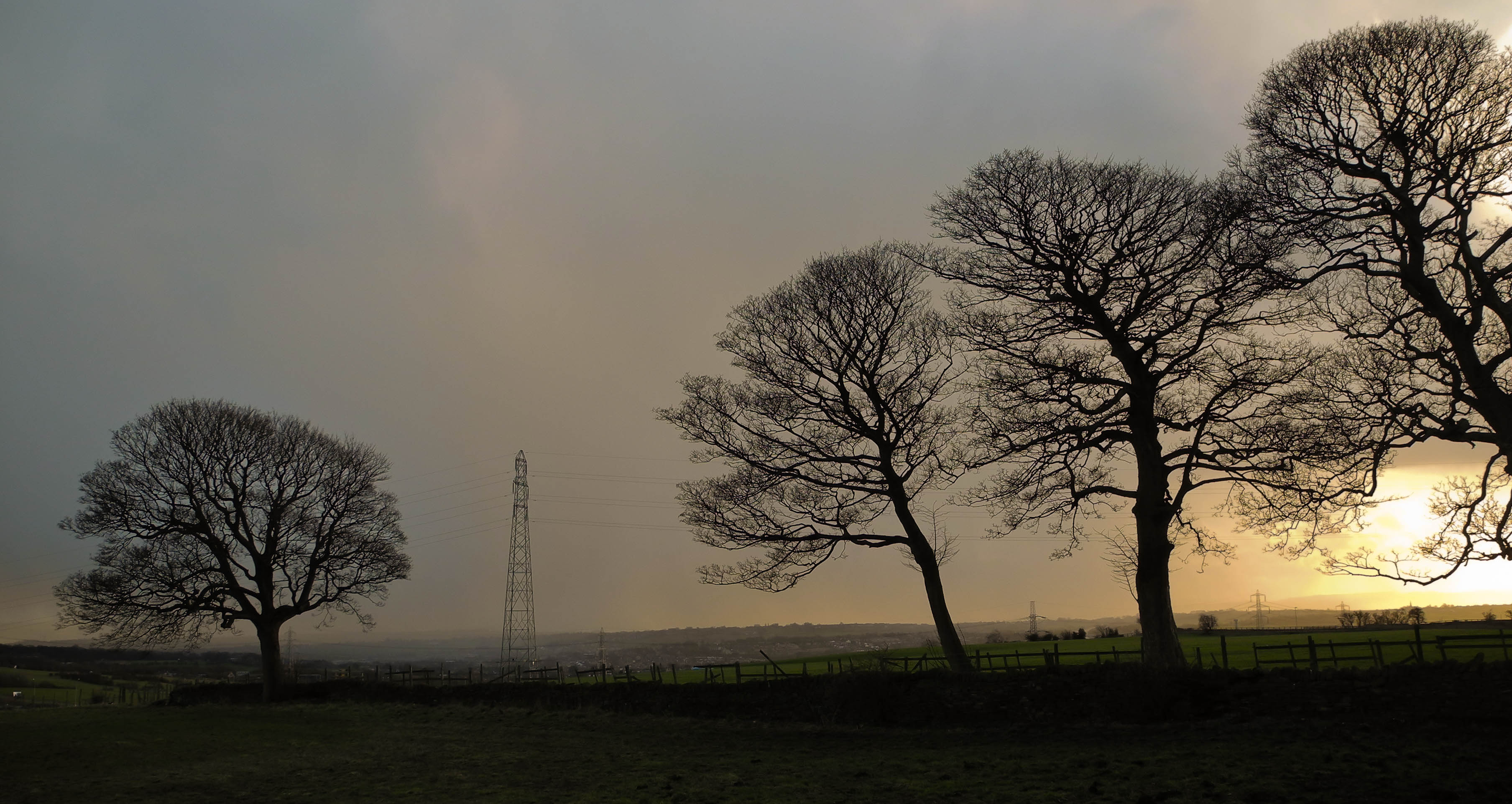
A passing storm
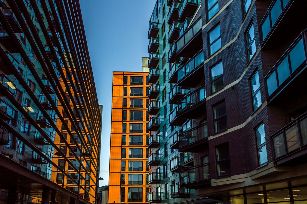
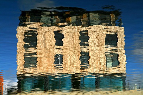
Many windows

Frosty morning
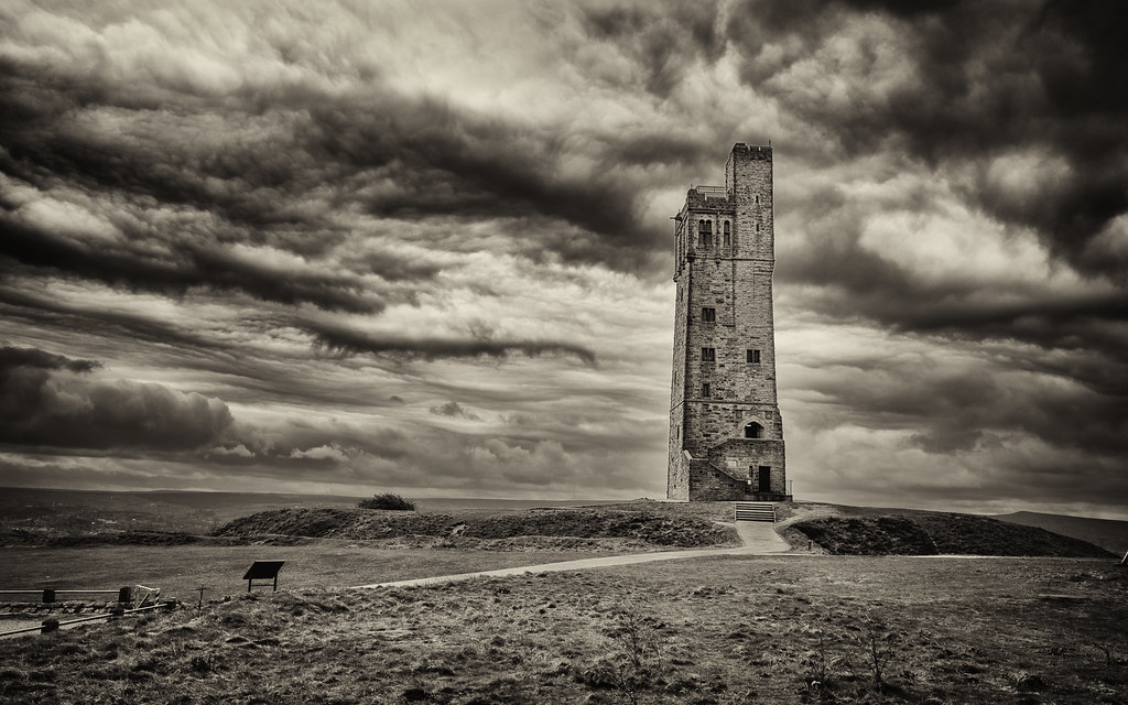
Victoria Tower - FlickR explore 17.04.2014
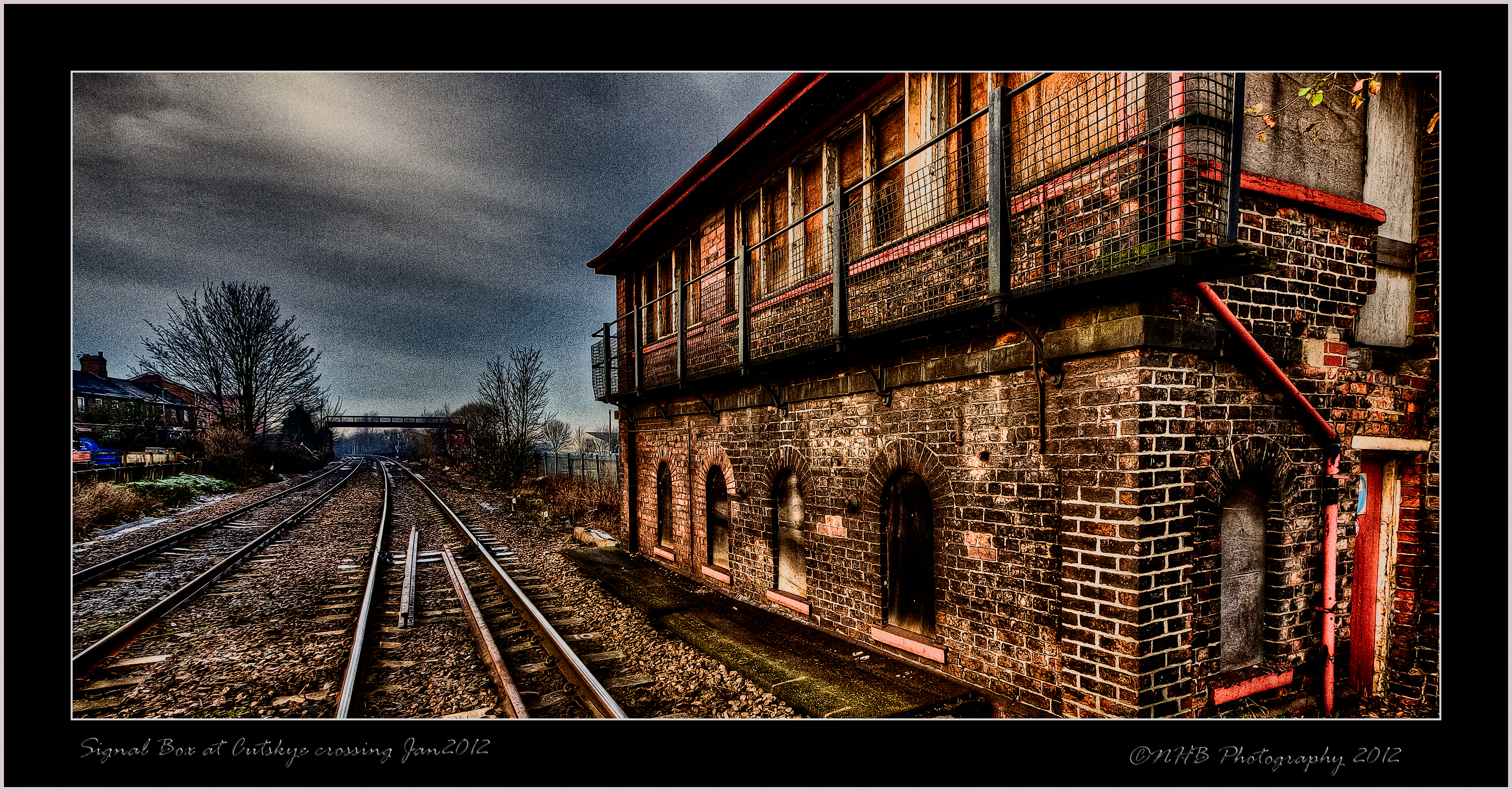
Old Signal Box at Cutsyke Jan 2012

Sunrise in Stripes - Explored 14th February 2013, #401
Thomas the Barge

Spidder in his web showing the underside and lots of flys in the web as well

Winterset sunset 07.05.2013
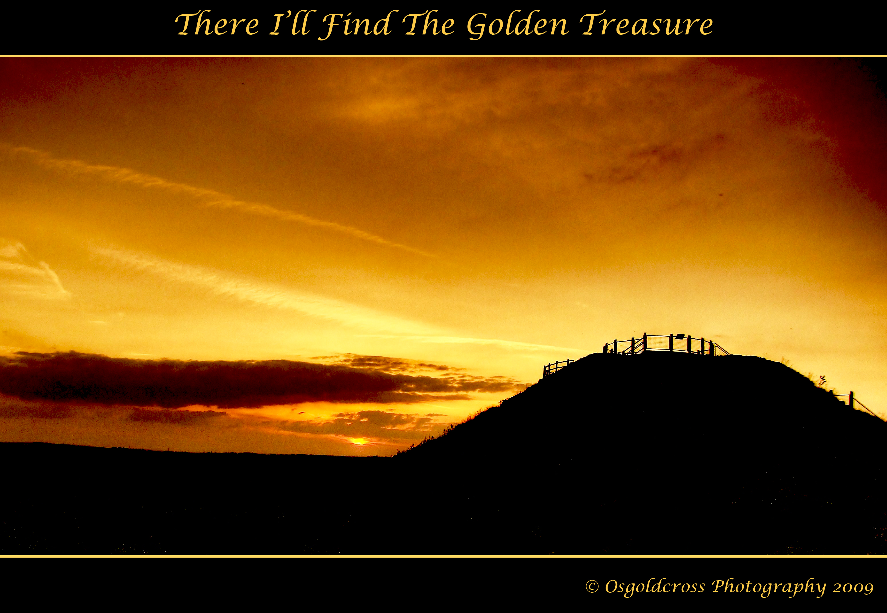
There I'll Find The Golden Treasure

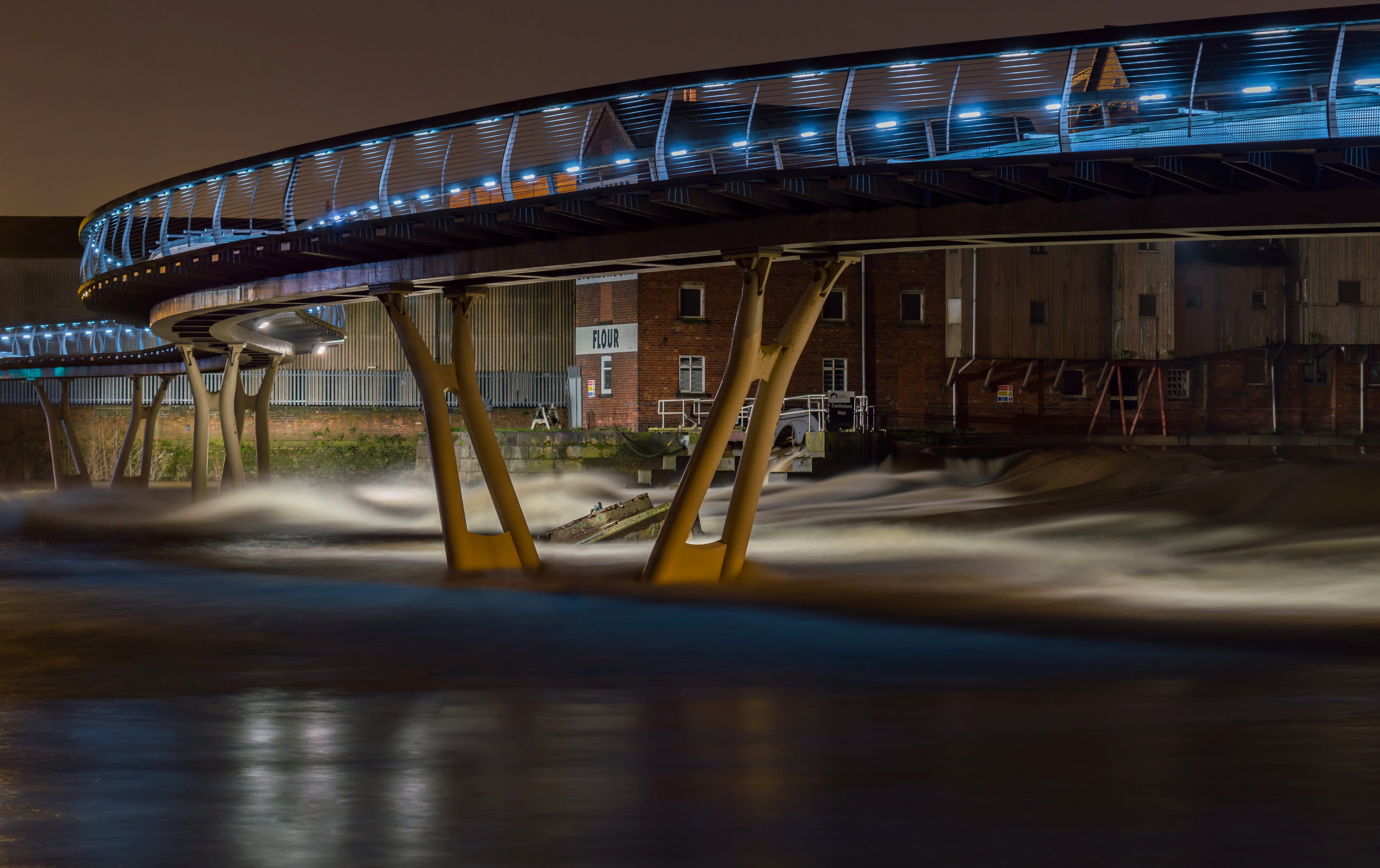
Crown Point Bridge ~ Leeds ~ well underneath it anyway! Explored 24th Feb 2013

Hotel view in Leeds

Castleford Bus Station Jan 2012
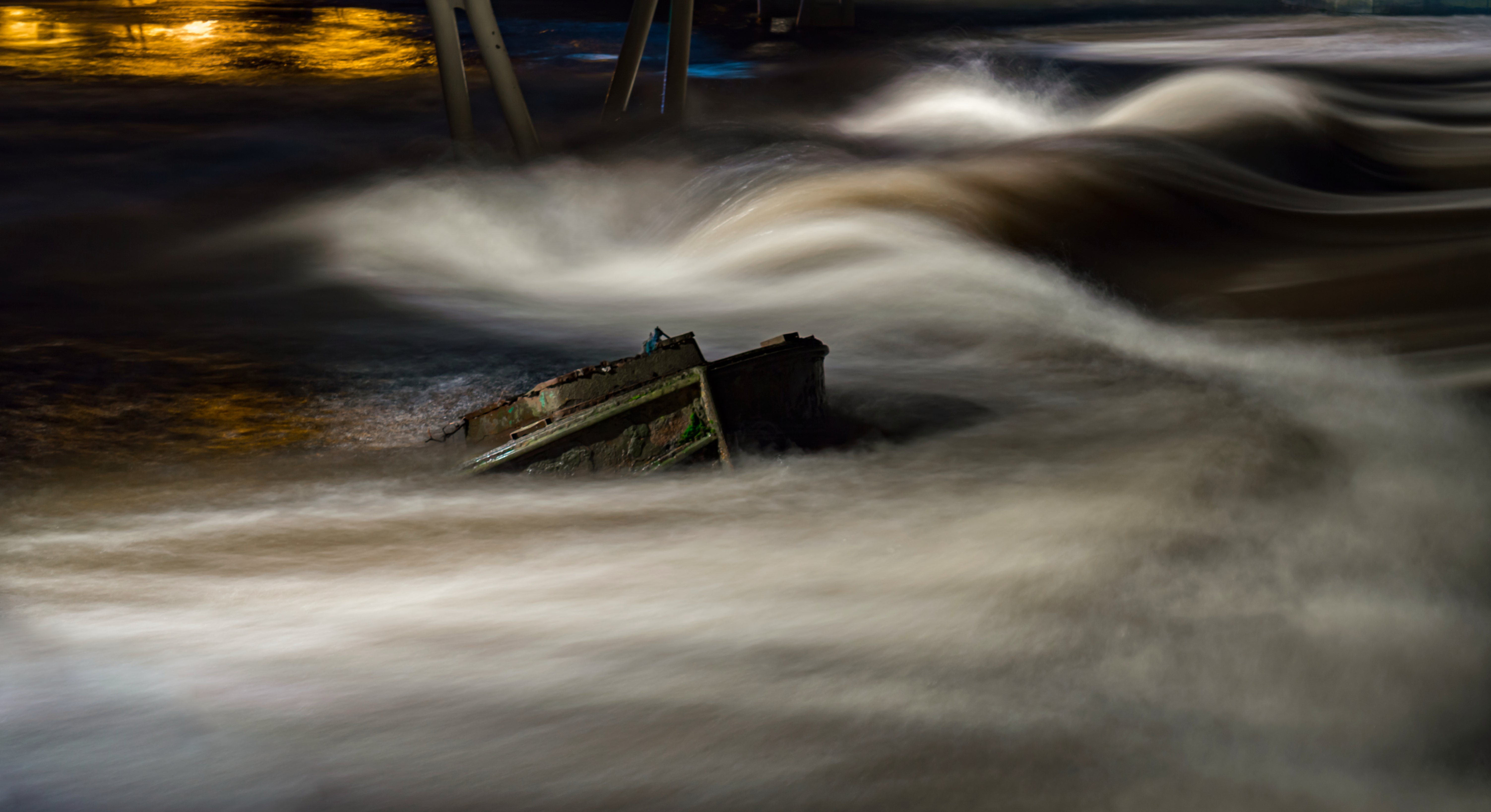
Under the Bridge
Water View

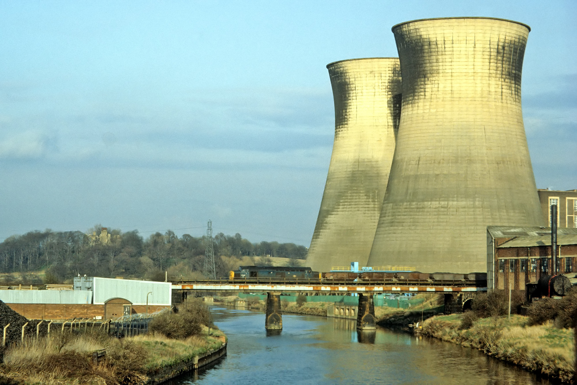
Winter Afternoon Test Train.
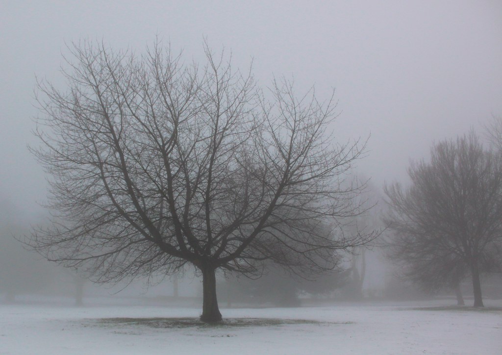
Tree Skeleton in Fog
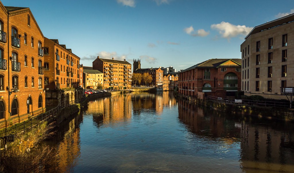
River Aire in Leeds
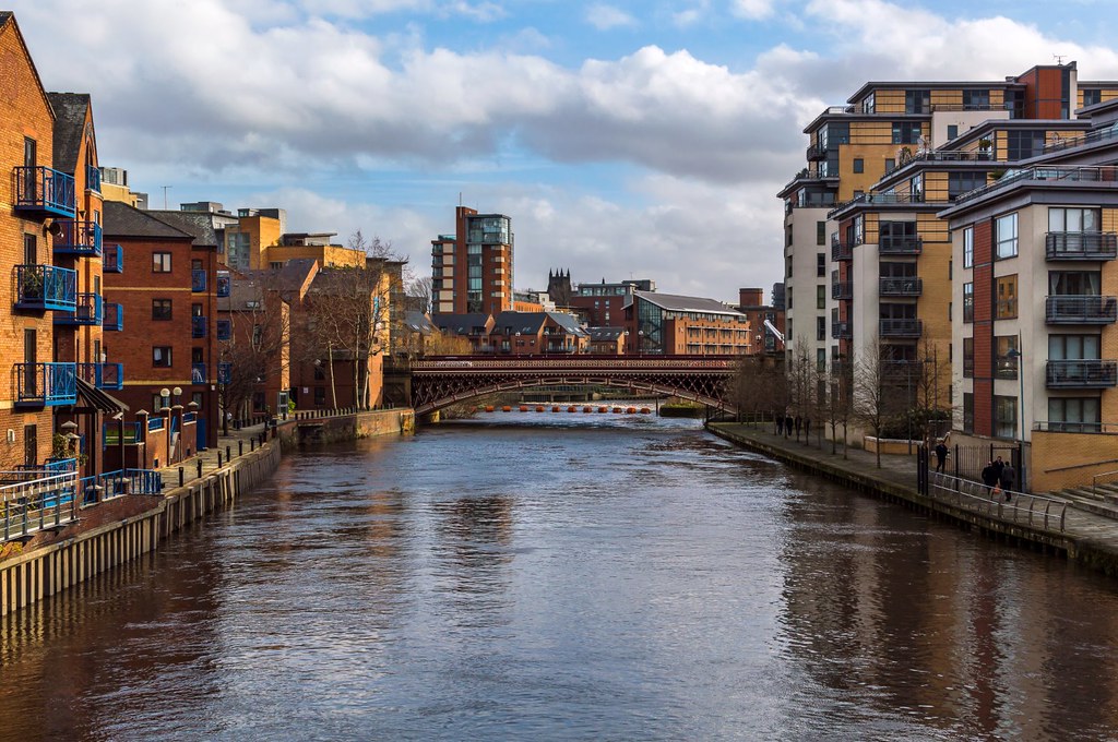
River Aire from Centennial Bridge
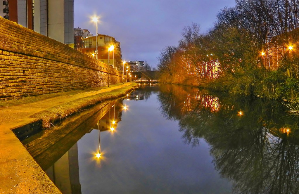
Night time by the Canal
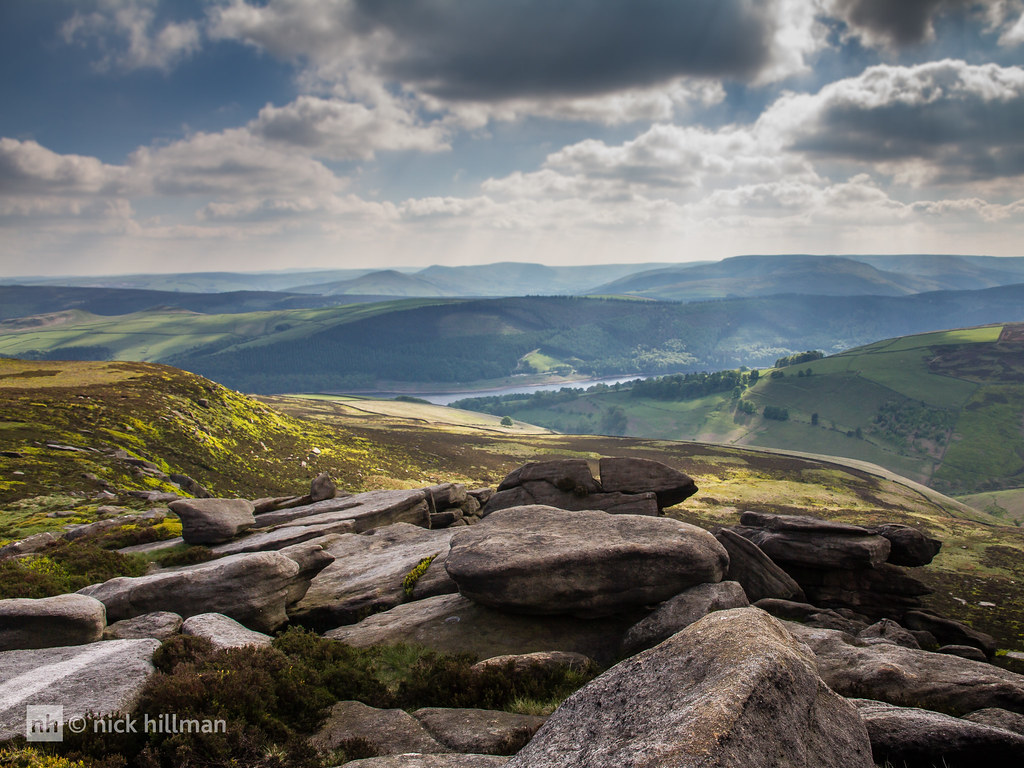
Back Tor, Derwent Edge
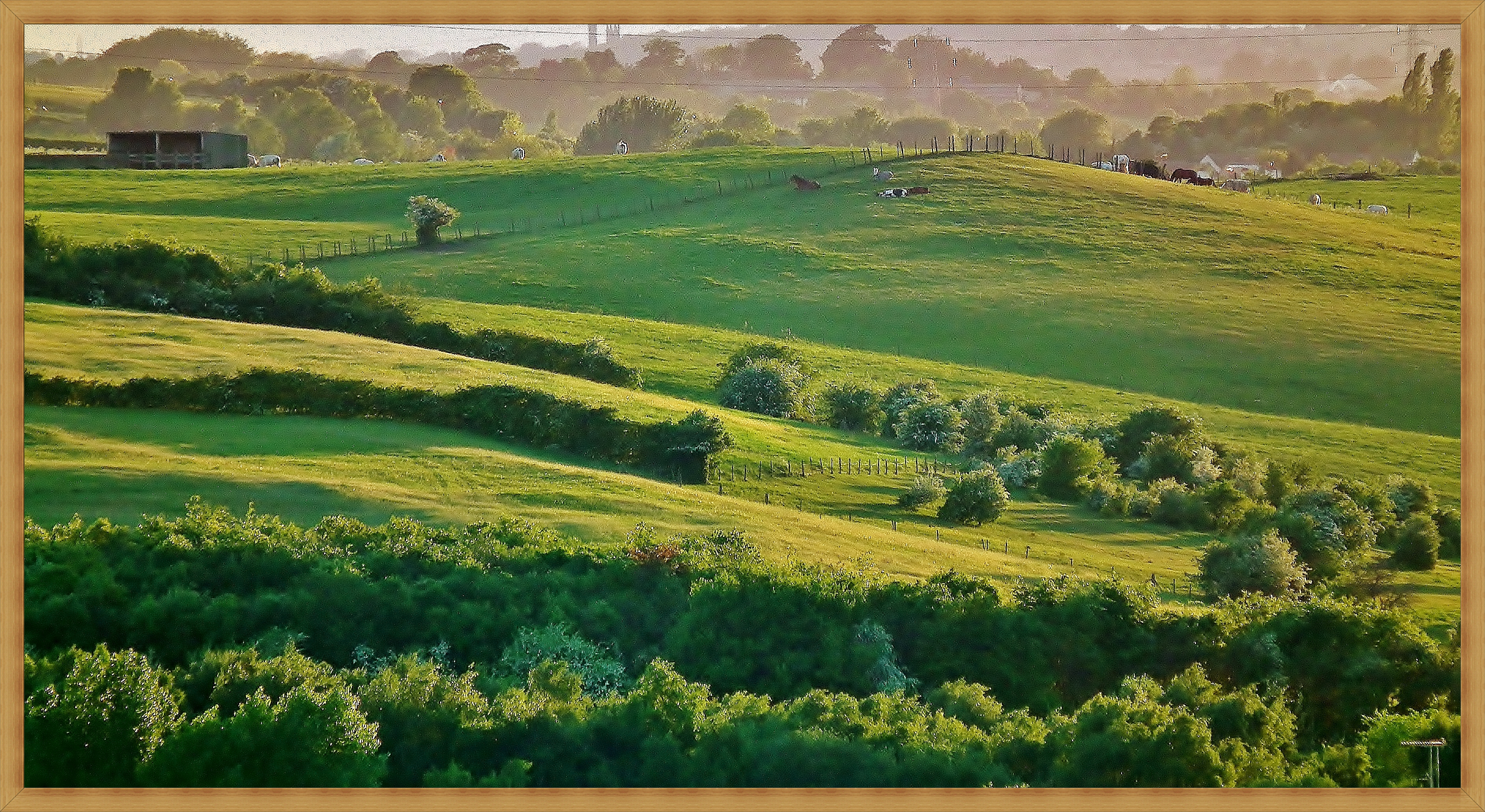
2011-05-08 green grass
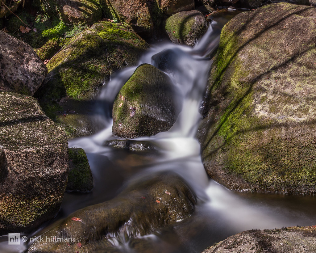
Padley Gorge, Derbyshire
60076 6E32 Preston Docks-Lindsey, Heaton Lodge Junction 27.02.2015
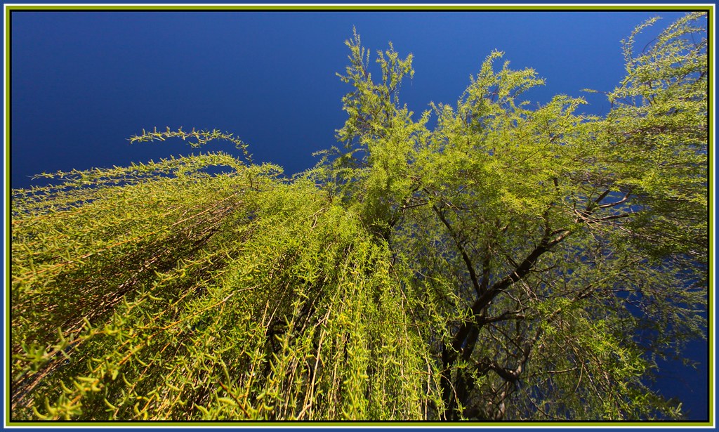
Under the Willow
River Calder, Wakefield.
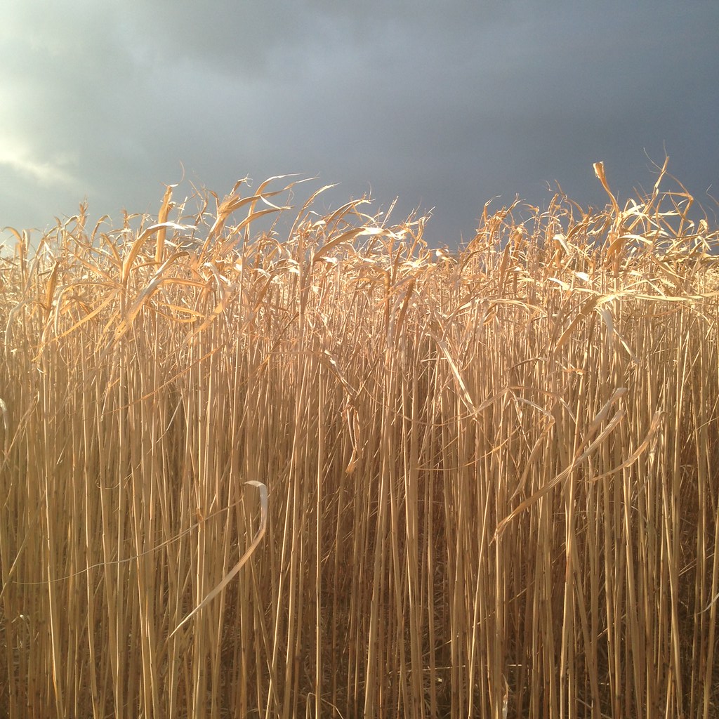
Cereal Crop

Thistle - Pye Flatts

Short Back and Sides
Winter at the pond, take two
Upper Hey
2011-03-19 a bit more green
SUNRISE ON THE ISLAND.jpg
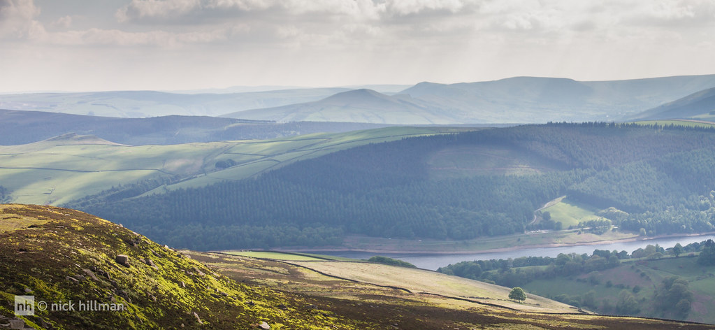
Lose Hill and Back Tor from Derwent Edge
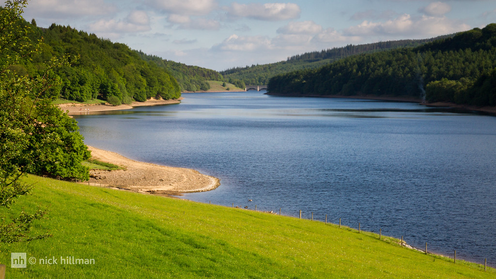
Ladybower Reservoir
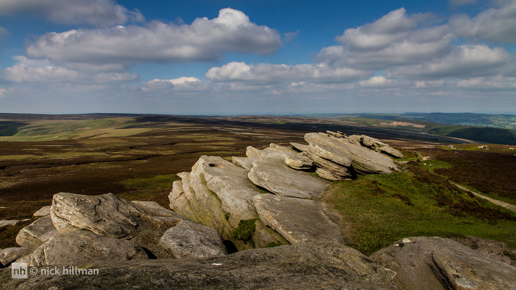
Millstone Grit on Derwent Edge-1
Topographic Map of Ossett, UK
Find elevation by address:

Places in Ossett, UK:
Places near Ossett, UK:
Wf5 9jj
2 Kings Paddock
37 Bridle Ln, Ossett WF5 9PT, UK
Kings Lea
Pildacre Lane
Wf4 6nl
6 Golden Square, Horbury, Wakefield WF4 6LX, UK
Horbury
Kirkhamgate
Wf12 0ju
Overton
Old Rd, Overton, Wakefield WF4 4RR, UK
Dewsbury
63 Parker Rd, Dewsbury WF12 0AP, UK
Beacon Grove
Wf13 2ne
9 Hyrst Walk, Batley WF17 7JP, UK
Wf4 3fb
2 Leyburn Pl
Morley
Recent Searches:
- Elevation of Zimmer Trail, Pennsylvania, USA
- Elevation of 87 Kilmartin Ave, Bristol, CT, USA
- Elevation of Honghe National Nature Reserve, QP95+PJP, Tongjiang, Heilongjiang, Jiamusi, Heilongjiang, China
- Elevation of Hercules Dr, Colorado Springs, CO, USA
- Elevation of Szlak pieszy czarny, Poland
- Elevation of Griffing Blvd, Biscayne Park, FL, USA
- Elevation of Kreuzburger Weg 13, Düsseldorf, Germany
- Elevation of Gateway Blvd SE, Canton, OH, USA
- Elevation of East W.T. Harris Boulevard, E W.T. Harris Blvd, Charlotte, NC, USA
- Elevation of West Sugar Creek, Charlotte, NC, USA