Elevation of Kirehe, Rwanda
Location: Rwanda > Eastern Province >
Longitude: 30.7579834
Latitude: -2.2168302
Elevation: 1530m / 5020feet
Barometric Pressure: 84KPa
Elevation Map:
Satellite Map:
Related Photos:
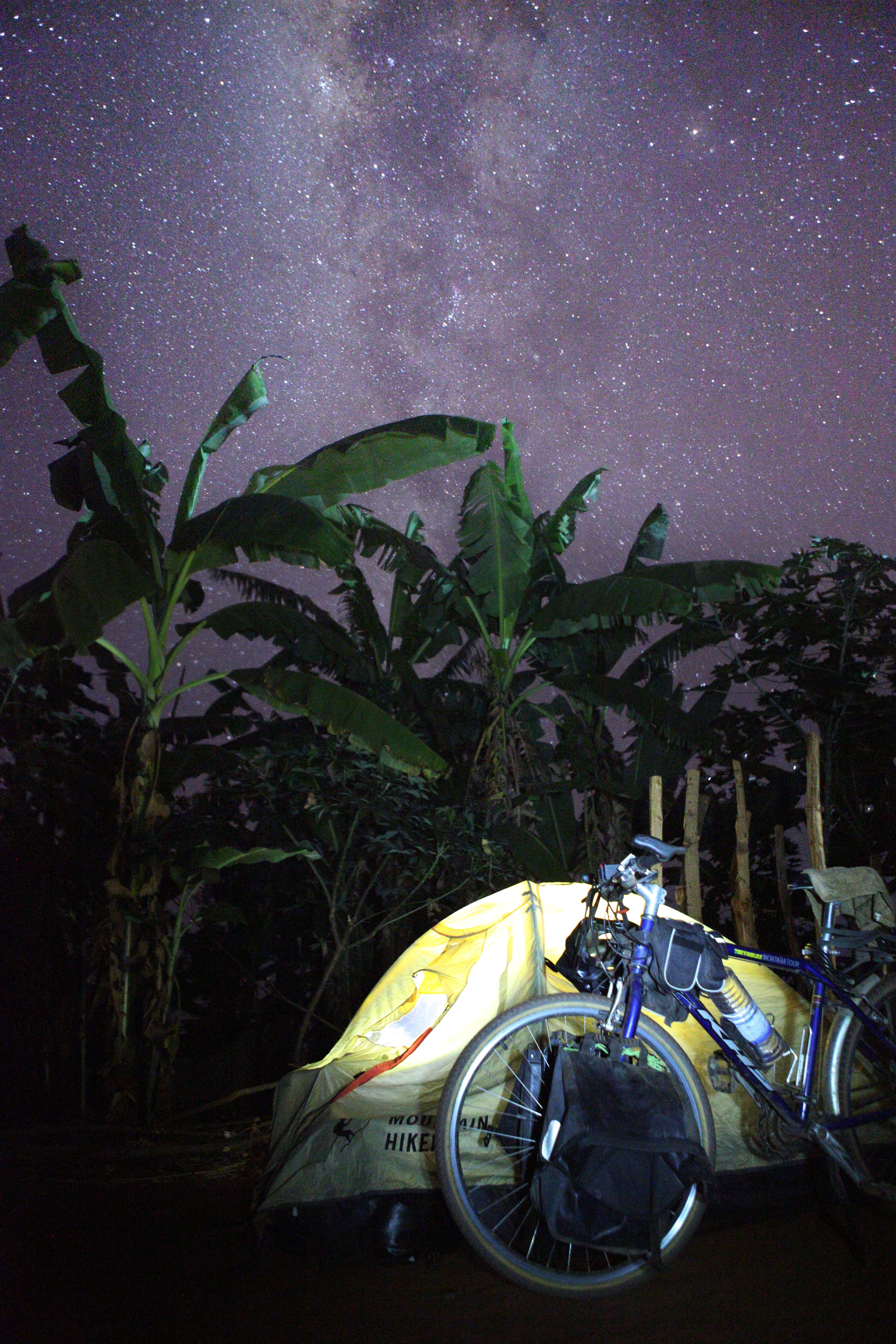
Camping under the banana's trees
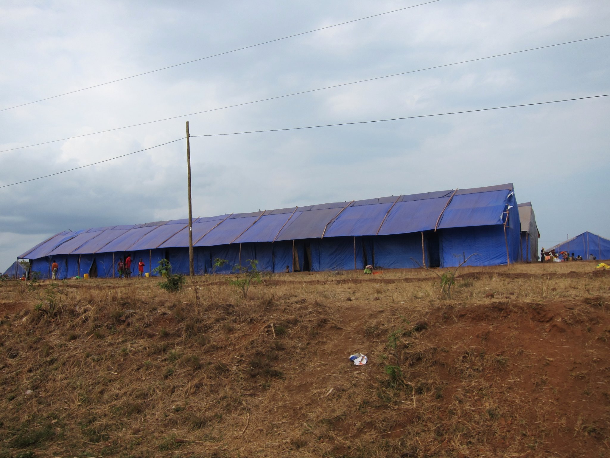
Rwanda Refugee Camps
Topographic Map of Kirehe, Rwanda
Find elevation by address:

Places in Kirehe, Rwanda:
Places near Kirehe, Rwanda:
Birenga
Unnamed Road
Unnamed Road
Ngara
Kibungo
Kayonza
Rwamagana
Unnamed Road
Eastern Province
Rwamagana
Unnamed Road
Bicumbi
Rn3
Unnamed Road
Unnamed Road
Lake Muhazi
Unnamed Road
Unnamed Road
Nyagasambu
Mpira
Recent Searches:
- Elevation of Dog Leg Dr, Minden, NV, USA
- Elevation of Dog Leg Dr, Minden, NV, USA
- Elevation of Kambingan Sa Pansol Atbp., Purok 7 Pansol, Candaba, Pampanga, Philippines
- Elevation of Pinewood Dr, New Bern, NC, USA
- Elevation of Mountain View, CA, USA
- Elevation of Foligno, Province of Perugia, Italy
- Elevation of Blauwestad, Netherlands
- Elevation of Bella Terra Blvd, Estero, FL, USA
- Elevation of Estates Loop, Priest River, ID, USA
- Elevation of Woodland Oak Pl, Thousand Oaks, CA, USA