Elevation of Birenga, Rwanda
Location: Rwanda > Eastern Province > Kibungo >
Longitude: 30.5351057
Latitude: -2.1867085
Elevation: 1618m / 5308feet
Barometric Pressure: 83KPa
Elevation Map:
Satellite Map:
Related Photos:
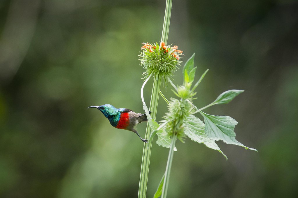
Olive-bellied Sunbird (Cinnyris chloropygius)

Rwandan Cob House
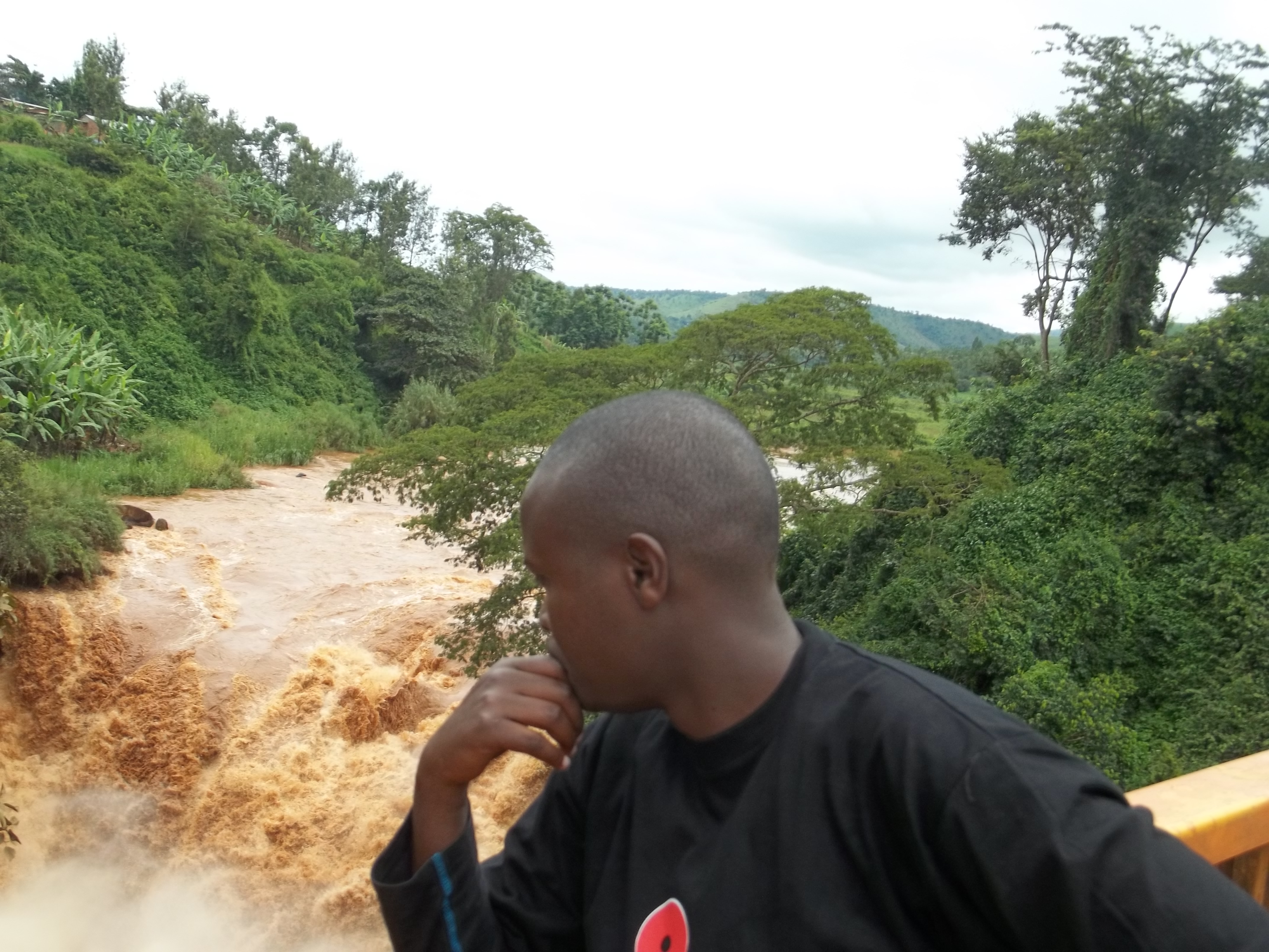
KAREKEZI Parfait
Topographic Map of Birenga, Rwanda
Find elevation by address:

Places near Birenga, Rwanda:
Unnamed Road
Kibungo
Unnamed Road
Kirehe
Unnamed Road
Rwamagana
Unnamed Road
Rwamagana
Kayonza
Bicumbi
Eastern Province
Rn3
Unnamed Road
Unnamed Road
Ngara
Unnamed Road
Unnamed Road
Lake Muhazi
Mpira
Nyagasambu
Recent Searches:
- Elevation of Hercules Dr, Colorado Springs, CO, USA
- Elevation of Szlak pieszy czarny, Poland
- Elevation of Griffing Blvd, Biscayne Park, FL, USA
- Elevation of Kreuzburger Weg 13, Düsseldorf, Germany
- Elevation of Gateway Blvd SE, Canton, OH, USA
- Elevation of East W.T. Harris Boulevard, E W.T. Harris Blvd, Charlotte, NC, USA
- Elevation of West Sugar Creek, Charlotte, NC, USA
- Elevation of Wayland, NY, USA
- Elevation of Steadfast Ct, Daphne, AL, USA
- Elevation of Lagasgasan, X+CQH, Tiaong, Quezon, Philippines