Elevation of Mpira, Rwanda
Location: Rwanda > Eastern Province > Bugesera >
Longitude: 30.1697222
Latitude: -2.2725
Elevation: 1431m / 4695feet
Barometric Pressure: 85KPa
Elevation Map:
Satellite Map:
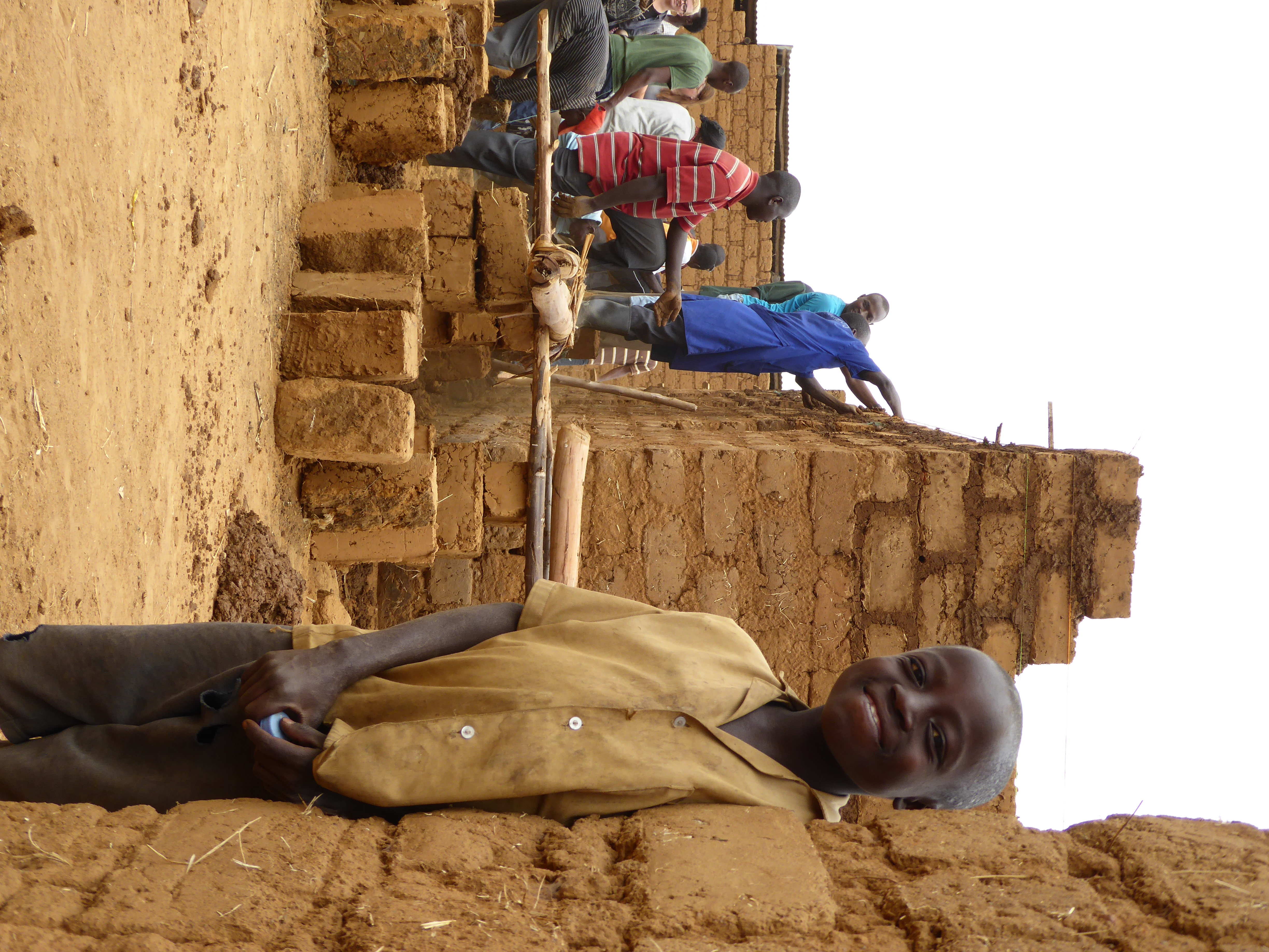
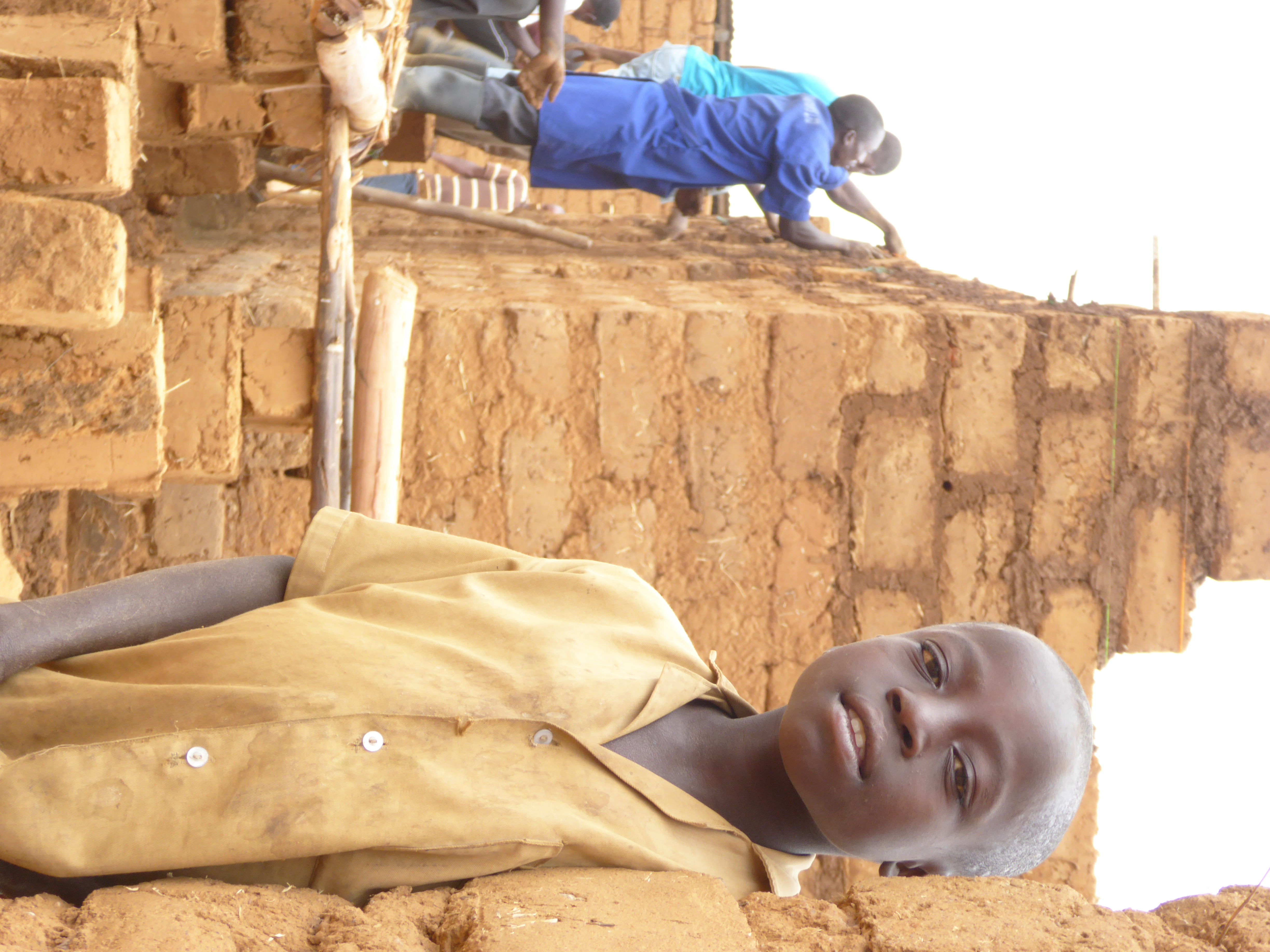
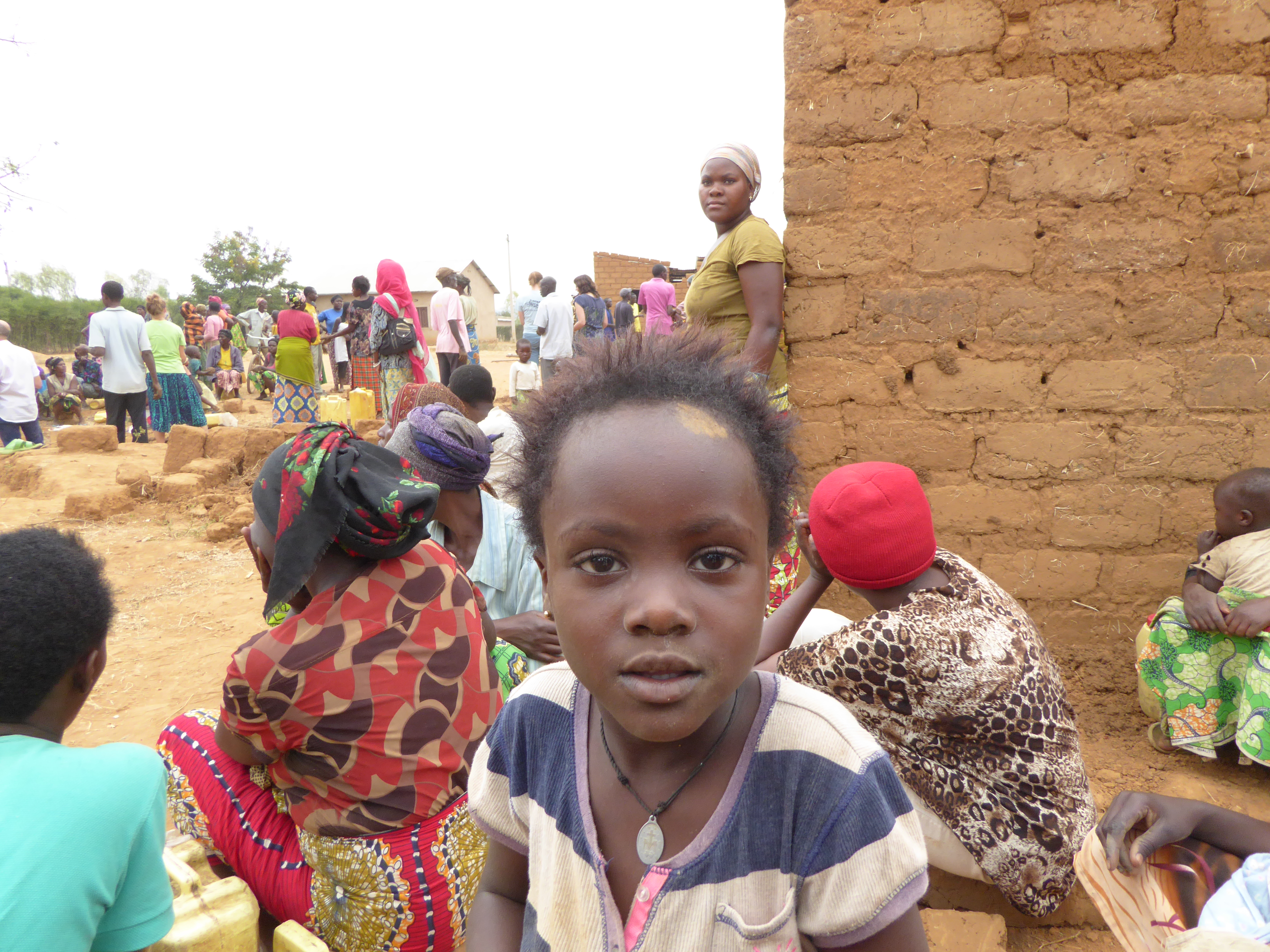
Related Photos:
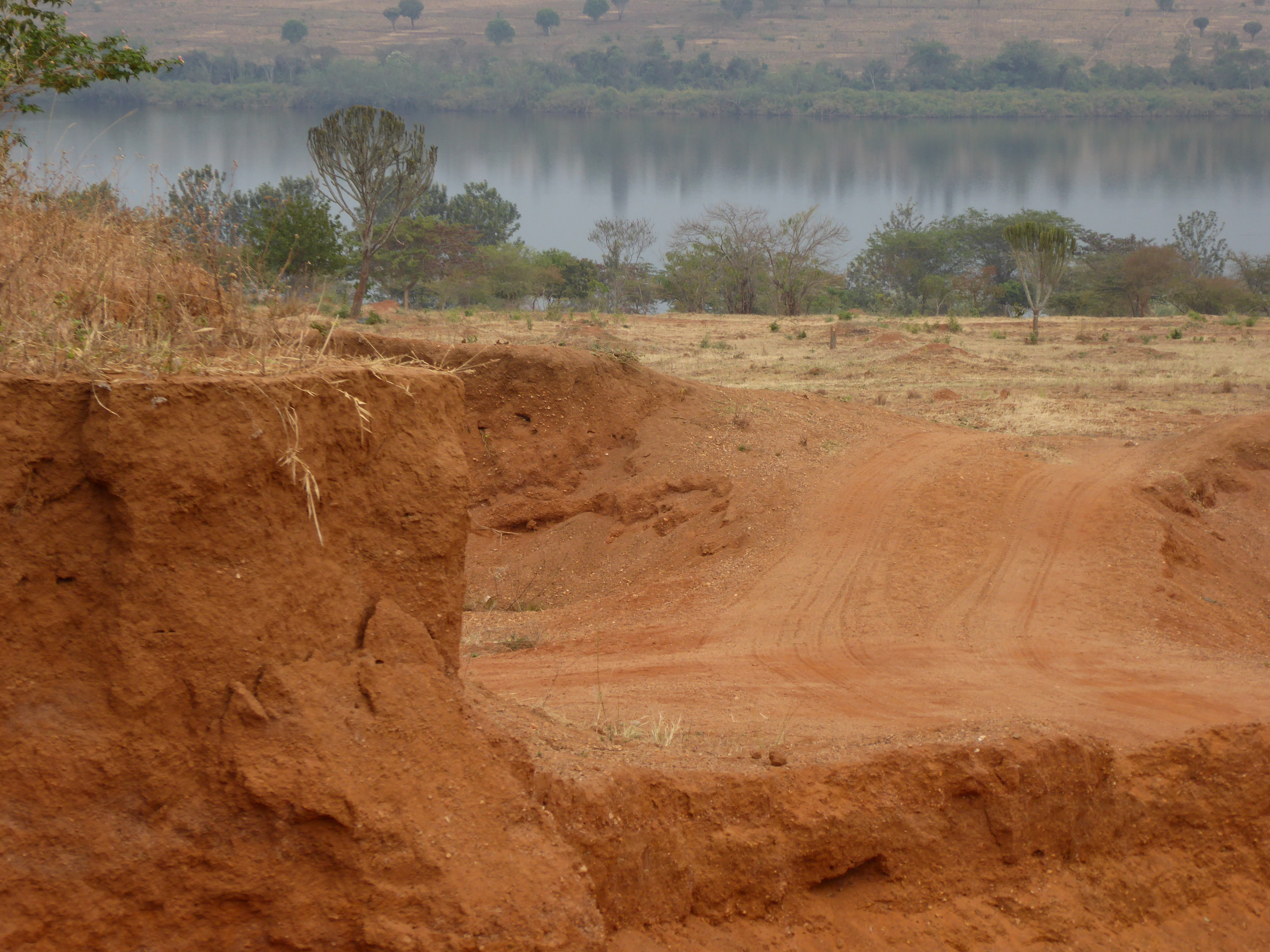
P1020311

P1020314
DSC02789
DSC02796
DSC02804

DSC02808

DSC02811
DSC02830

DSC02846

DSC03882
DSC03904

DSC03920

P1020198
P1020271

P1020282
P1020194

P1020226
P1020211
P1020210
P1020253

P1020274

P1020240

P1020245
Topographic Map of Mpira, Rwanda
Find elevation by address:

Places near Mpira, Rwanda:
Bugesera
Akanyaru
Unnamed Road
Unnamed Road
Unnamed Road
Kicukiro
Unnamed Road
Kibungo
Unnamed Road
Unnamed Road
Unnamed Road
Unnamed Road
Kigali
Gs Aiper Nyandungu
Nyarugenge
Unnamed Road
Kigali
Nyarugenge
Kiyovu
Centenary House
Recent Searches:
- Elevation of Rojo Ct, Atascadero, CA, USA
- Elevation of Flagstaff Drive, Flagstaff Dr, North Carolina, USA
- Elevation of Avery Ln, Lakeland, FL, USA
- Elevation of Woolwine, VA, USA
- Elevation of Lumagwas Diversified Farmers Multi-Purpose Cooperative, Lumagwas, Adtuyon, RV32+MH7, Pangantucan, Bukidnon, Philippines
- Elevation of Homestead Ridge, New Braunfels, TX, USA
- Elevation of Orchard Road, Orchard Rd, Marlborough, NY, USA
- Elevation of 12 Hutchinson Woods Dr, Fletcher, NC, USA
- Elevation of Holloway Ave, San Francisco, CA, USA
- Elevation of Norfolk, NY, USA