Elevation map of Khanewal, Punjab, Pakistan
Location: Pakistan > Punjab >
Longitude: 72.0468164
Latitude: 30.4550445
Elevation: 138m / 453feet
Barometric Pressure: 100KPa
Elevation Map:
Satellite Map:
Related Photos:
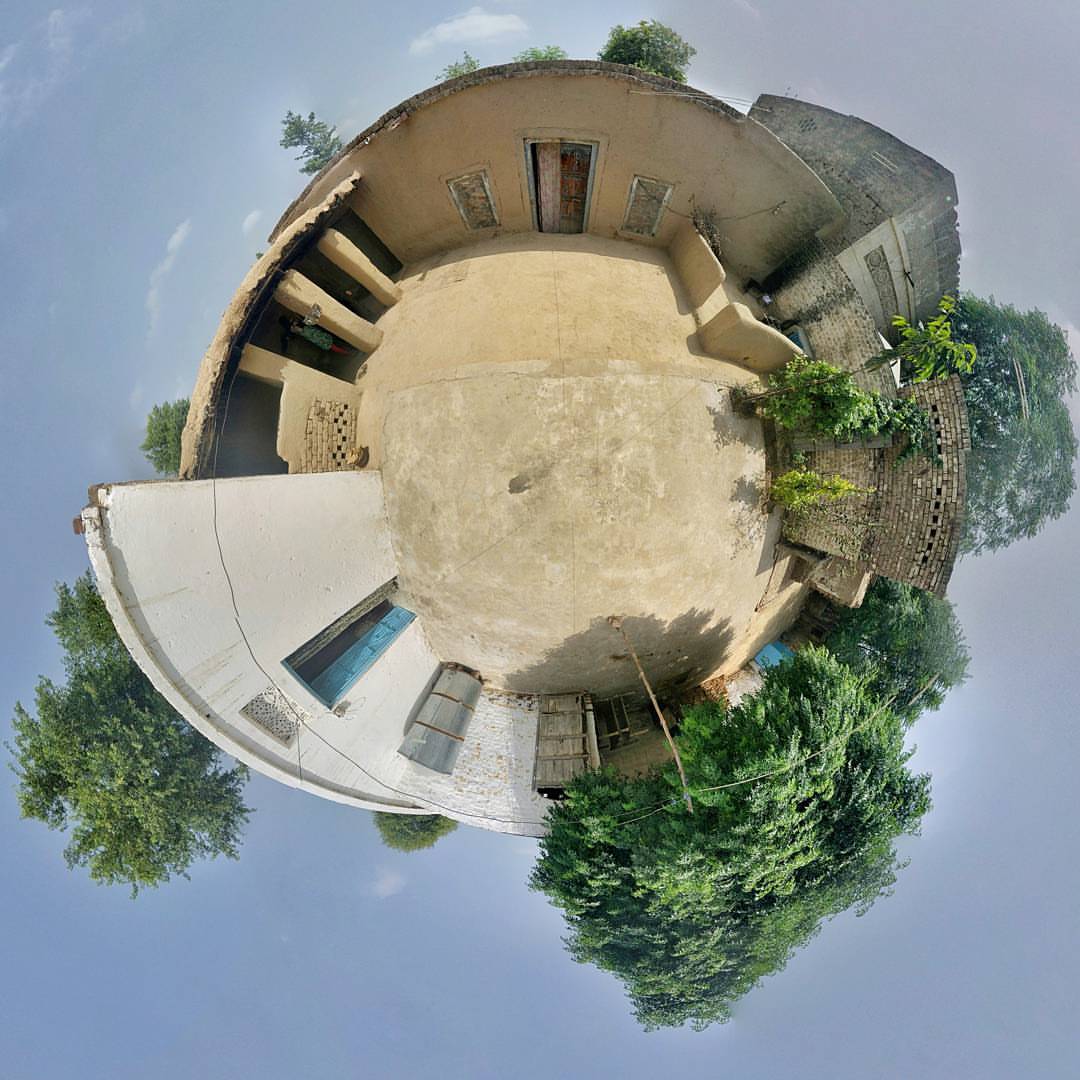
#Village #Home #TinyWorld #360Panorama #Nexus6P #MobilePhotography

A Sun Flower

Beautiful place
Topographic Map of Khanewal, Punjab, Pakistan
Find elevation by address:

Places in Khanewal, Punjab, Pakistan:
Places near Khanewal, Punjab, Pakistan:
Peerowal
Khanewal
Sidhnai Headworks
City Park
Khanewal
Shrine Of Pir Abdullah Shah
Chak 85/15 L
Kamalia Tehsil
Chak 20 Wb
Darbar Baba Abdullah Shah
Chak 83/12 L
Branch Canal
Vehari
Vehari
Kamalia
Tomb Dargah E Shah
Mailsi
Pakpattan - Islam Link Canal
Sahiwal District
Al Razzaq Avenue
Recent Searches:
- Elevation of Bydgoszcz, Poland
- Elevation of Bydgoszcz, Poland
- Elevation of Calais Dr, Del Mar, CA, USA
- Elevation of Placer Mine Ln, West Jordan, UT, USA
- Elevation of E 63rd St, New York, NY, USA
- Elevation of Elk City, OK, USA
- Elevation of Erika Dr, Windsor, CA, USA
- Elevation of Village Ln, Finleyville, PA, USA
- Elevation of 24 Oakland Rd #, Scotland, ON N0E 1R0, Canada
- Elevation of Deep Gap Farm Rd E, Mill Spring, NC, USA