Elevation of Branch Canal, Punjab, Pakistan
Location: Pakistan > Punjab > Sahiwal District > Chak 83/12 L >
Longitude: 72.5200653
Latitude: 30.2830959
Elevation: 146m / 479feet
Barometric Pressure: 100KPa
Elevation Map:
Satellite Map:
Related Photos:
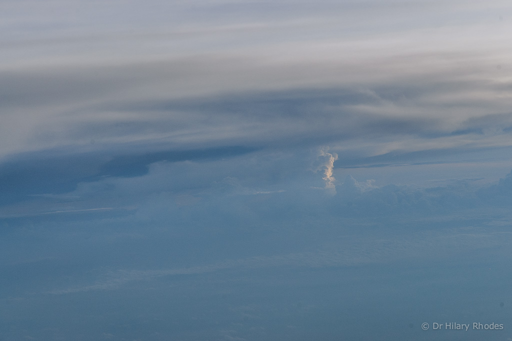
Distant Cumulonimbus storm cloud
Topographic Map of Branch Canal, Punjab, Pakistan
Find elevation by address:

Places near Branch Canal, Punjab, Pakistan:
Chak 83/12 L
Chak 20 Wb
Darbar Baba Abdullah Shah
Vehari
Vehari
Shrine Of Pir Abdullah Shah
Chak 85/15 L
Kamalia Tehsil
Pakpattan - Islam Link Canal
Kamalia
Tomb Dargah E Shah
Sidhnai Headworks
Peerowal
Khanewal
Khanewal
Sahiwal District
Khanewal
Mailsi
City Park
Canan Park Sahiwal
Recent Searches:
- Elevation of Thorpe Cir, Thousand Oaks, CA, USA
- Elevation of Eldorado do Sul - RS, Brazil
- Elevation of Eldorado do Sul - Parque Eldorado, Eldorado do Sul - RS, -, Brazil
- Elevation of 35 Governors Ln, Hilton Head Island, SC, USA
- Elevation of Orangevale, CA, USA
- Elevation of Doe Cir, Clinton, OH, USA
- Elevation of Narhe, Pune, Maharashtra, India
- Elevation of Martins Mill Ct, Eagle Rock, NC, USA
- Elevation of Kippen, Stirling FK8, UK
- Elevation of Sieveringer Straße, Sieveringer Str., Wien, Austria