Elevation of Kettle Ridge, California, USA
Location: United States > California > Fresno County > Lakeshore >
Longitude: -118.75861
Latitude: 37.0166666
Elevation: 3508m / 11509feet
Barometric Pressure: 66KPa
Elevation Map:
Satellite Map:
Related Photos:
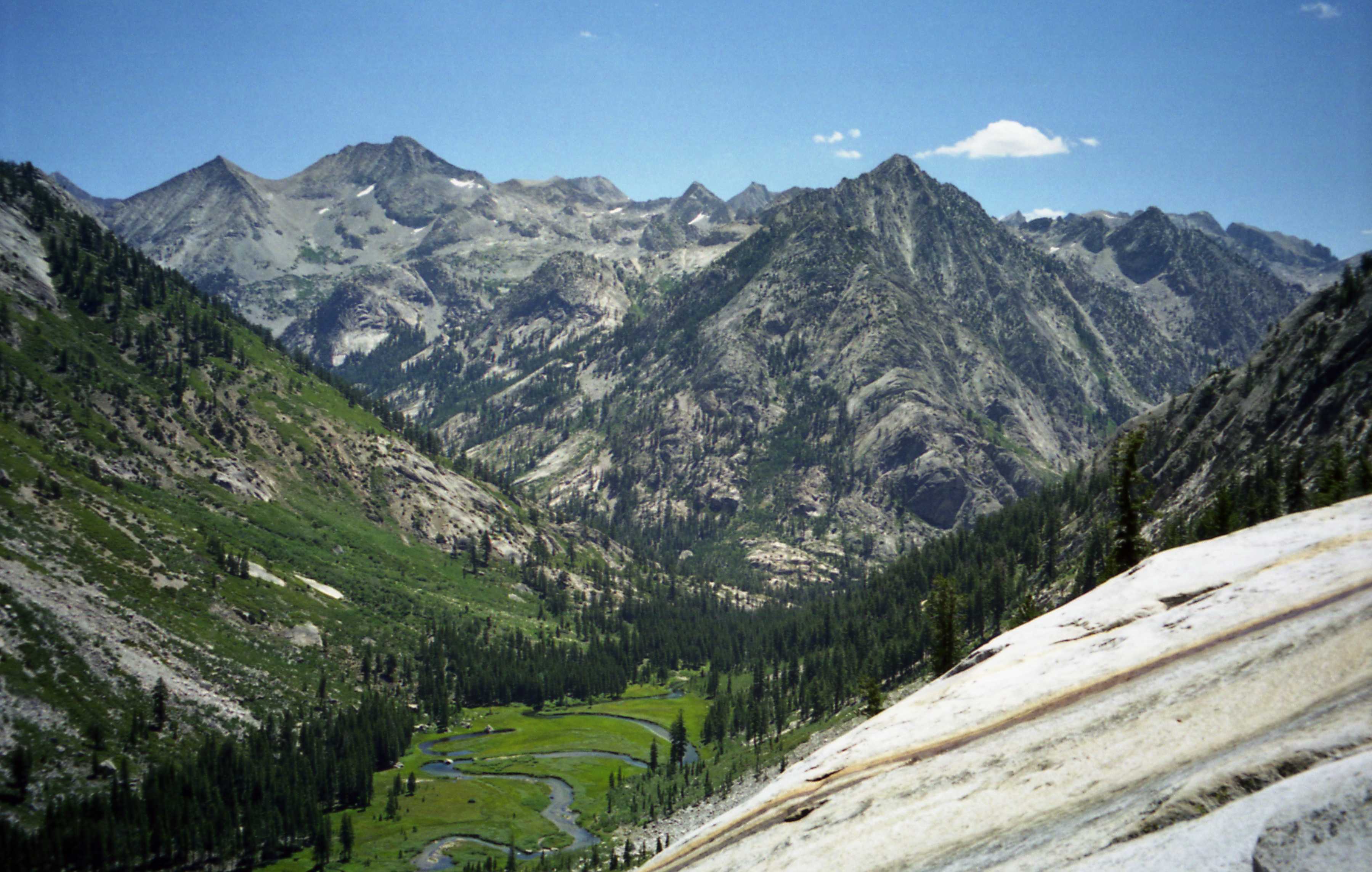
Above Grouse Meadow

Chapel Lake
View from Hell for Sure Pass
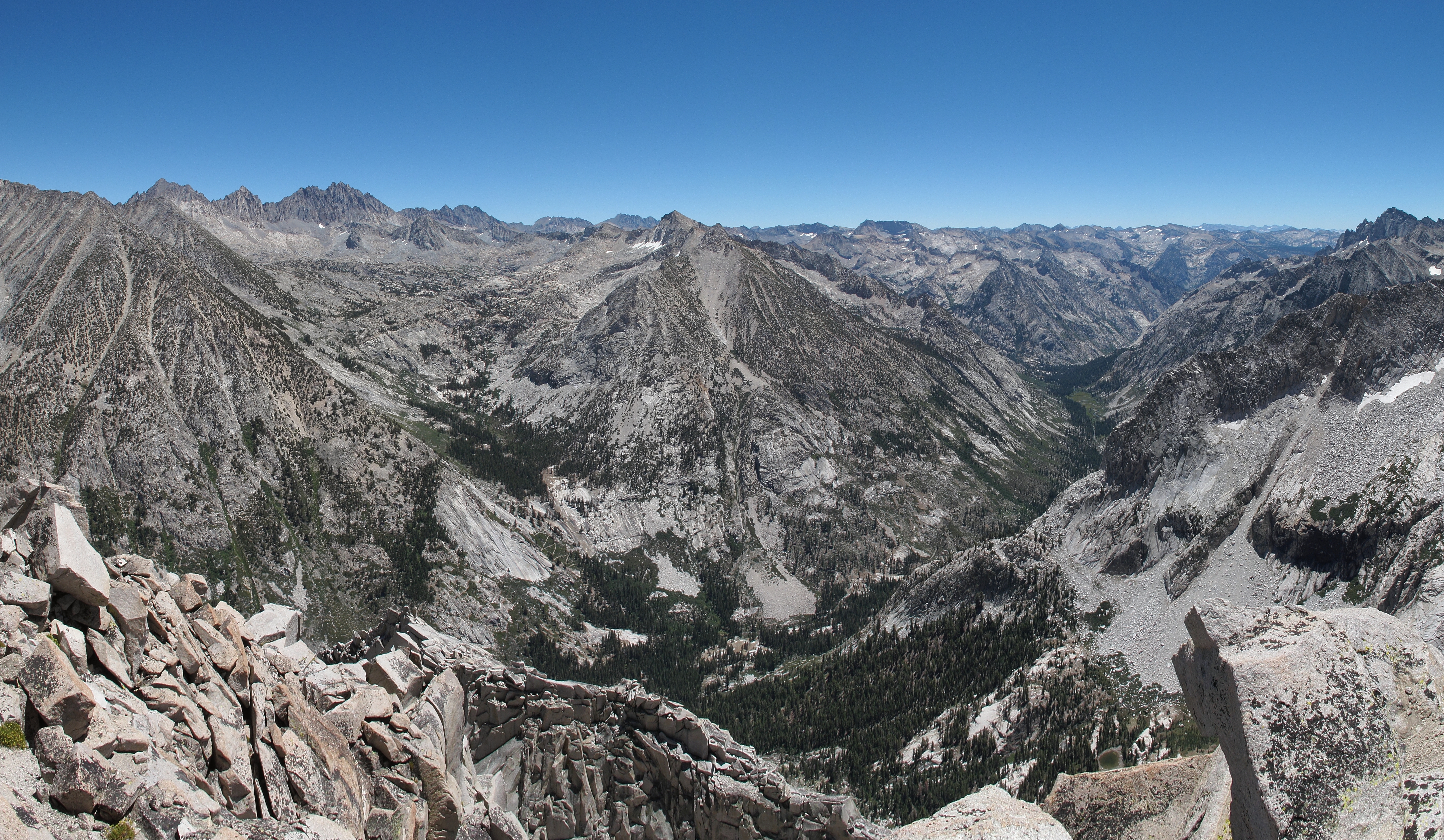
JMT Mile 76 - Le Conte Canyon View

Ionian Basin
Langille Peak View E

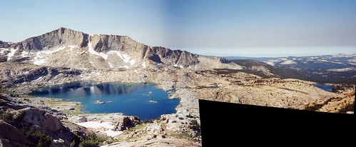
Division Lake Panorama
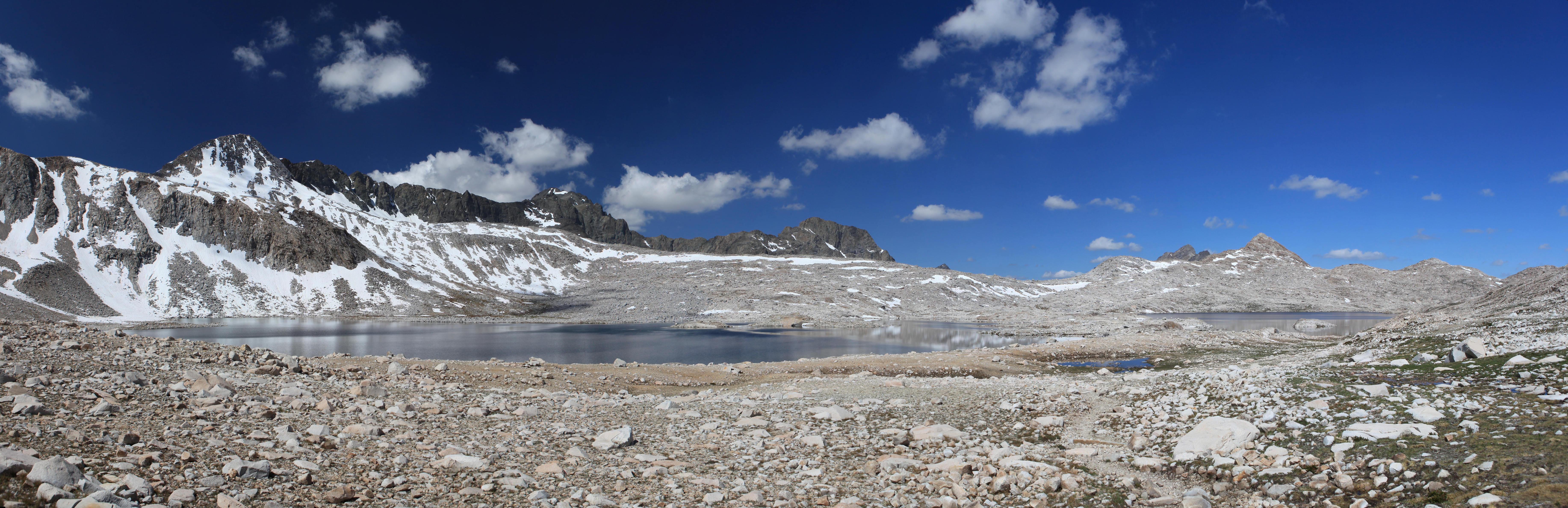
Wanda Lake Panorama
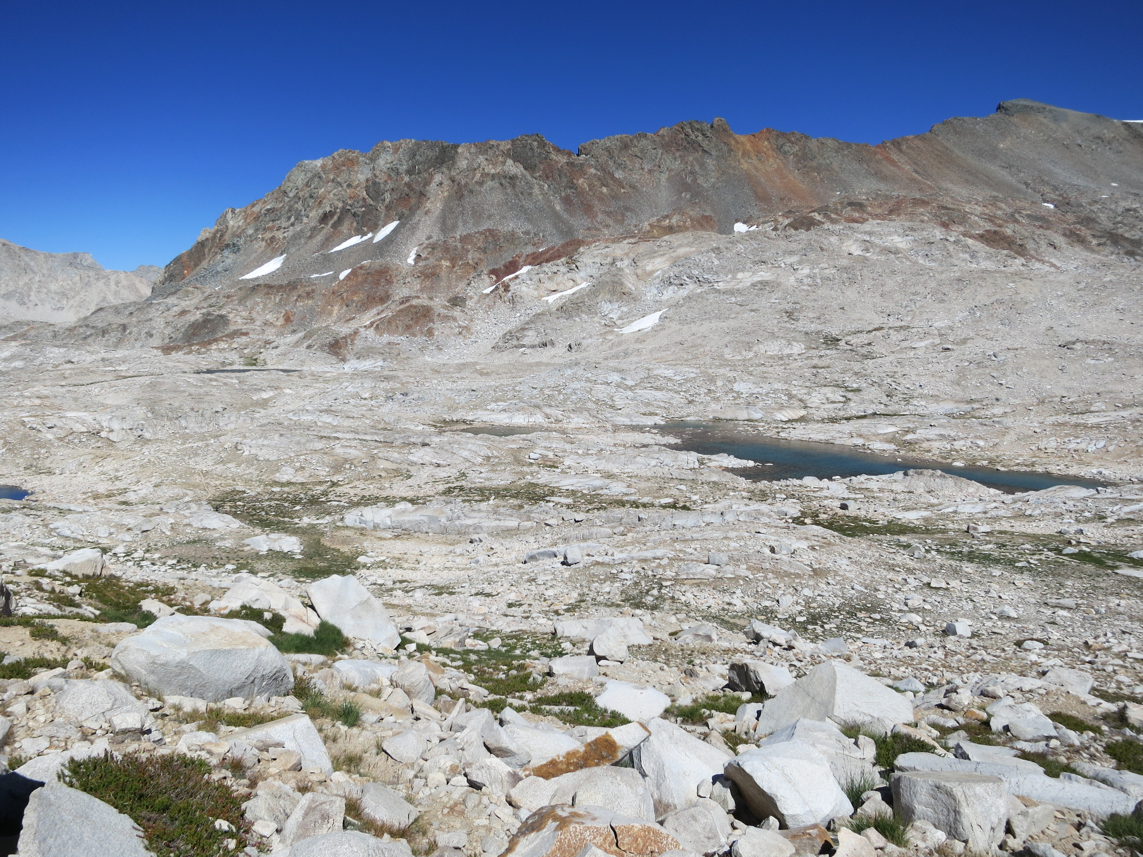
The view to the other side
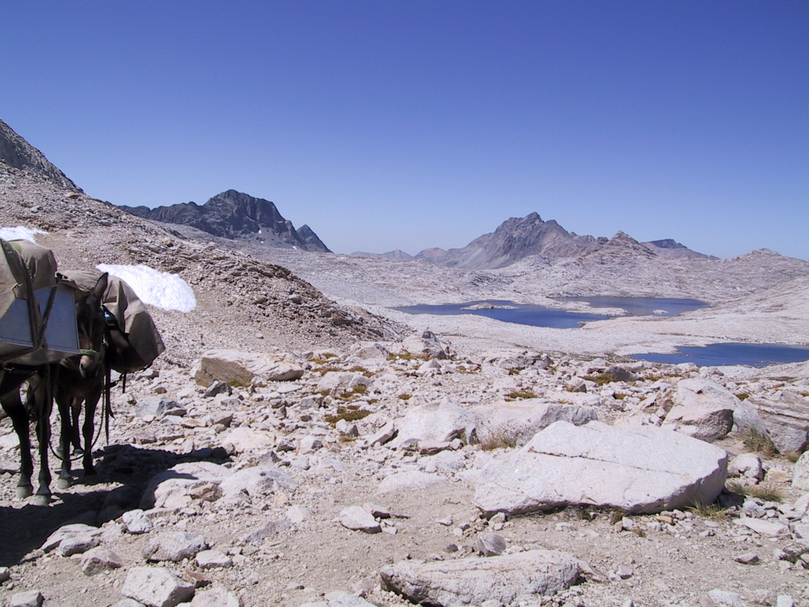
View from Muir Pass

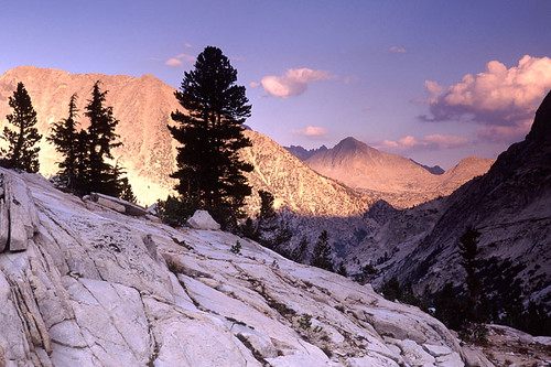
last view of le conte
Topographic Map of Kettle Ridge, California, USA
Find elevation by address:

Places near Kettle Ridge, California, USA:
Finger Peak
John Muir Wilderness
Tunemah Peak
Kettle Dome
Castle Peak
Charybdis
Mount Hutton
Mount Mcgee
Wheel Mountain
Black Giant
The Citadel
Emerald Peak
Mount Fiske
Windy Peak
Mount Henry
Big Pete Meadow
Mount Thompson
Zingheim Heights
Giraud Peak
Mount Goethe
Recent Searches:
- Elevation of Corso Fratelli Cairoli, 35, Macerata MC, Italy
- Elevation of Tallevast Rd, Sarasota, FL, USA
- Elevation of 4th St E, Sonoma, CA, USA
- Elevation of Black Hollow Rd, Pennsdale, PA, USA
- Elevation of Oakland Ave, Williamsport, PA, USA
- Elevation of Pedrógão Grande, Portugal
- Elevation of Klee Dr, Martinsburg, WV, USA
- Elevation of Via Roma, Pieranica CR, Italy
- Elevation of Tavkvetili Mountain, Georgia
- Elevation of Hartfords Bluff Cir, Mt Pleasant, SC, USA