Elevation of Castle Peak, California, USA
Location: United States > California > Fresno County > Lakeshore >
Longitude: -118.86594
Latitude: 36.9874427
Elevation: 3156m / 10354feet
Barometric Pressure: 69KPa
Elevation Map:
Satellite Map:
Related Photos:

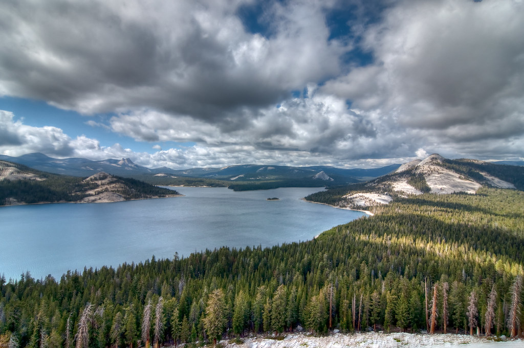
Chapel Lake
The view from atop Voyager Dome

The view from Voyager Dome

Division Lake Panorama
Topographic Map of Castle Peak, California, USA
Find elevation by address:

Places near Castle Peak, California, USA:
John Muir Wilderness
Kettle Dome
Kettle Ridge
Finger Peak
Sawmill Flat
Mount Hutton
Tunemah Peak
Hume Lake Campground
Zingheim Heights
Mount Mcgee
Mount Henry
Emerald Peak
Hume
65275 Memory Ln
Charybdis
Mount Shinn
Ward Mountain
Wheel Mountain
Black Giant
John Muir Trail
Recent Searches:
- Elevation of Corso Fratelli Cairoli, 35, Macerata MC, Italy
- Elevation of Tallevast Rd, Sarasota, FL, USA
- Elevation of 4th St E, Sonoma, CA, USA
- Elevation of Black Hollow Rd, Pennsdale, PA, USA
- Elevation of Oakland Ave, Williamsport, PA, USA
- Elevation of Pedrógão Grande, Portugal
- Elevation of Klee Dr, Martinsburg, WV, USA
- Elevation of Via Roma, Pieranica CR, Italy
- Elevation of Tavkvetili Mountain, Georgia
- Elevation of Hartfords Bluff Cir, Mt Pleasant, SC, USA