Elevation of Kettle Dome, California, USA
Location: United States > California > Fresno County > Lakeshore >
Longitude: -118.78583
Latitude: 36.9469444
Elevation: 2746m / 9009feet
Barometric Pressure: 72KPa
Elevation Map:
Satellite Map:
Related Photos:
Who hears the rippling of rivers will not utterly despair of anything...[explored]
Middle Fork Kings River - Tehipite Valley
IMG_4746 (2)
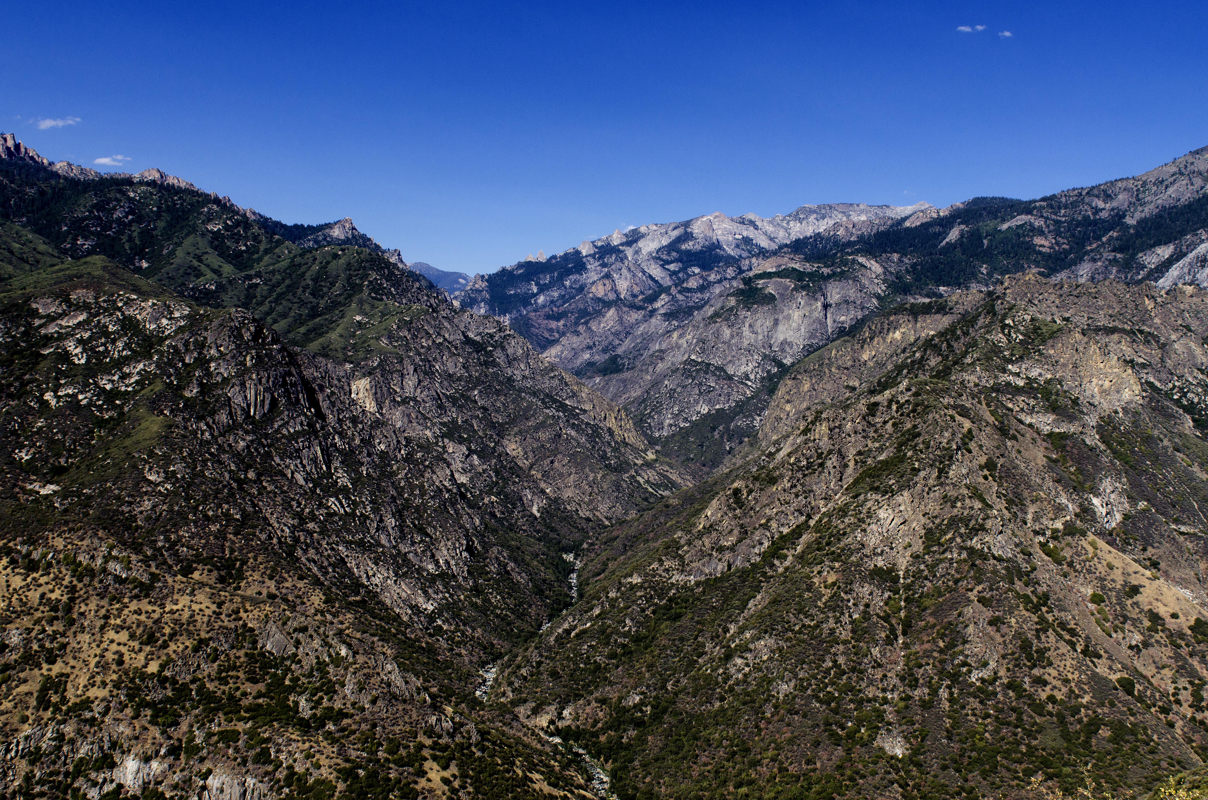
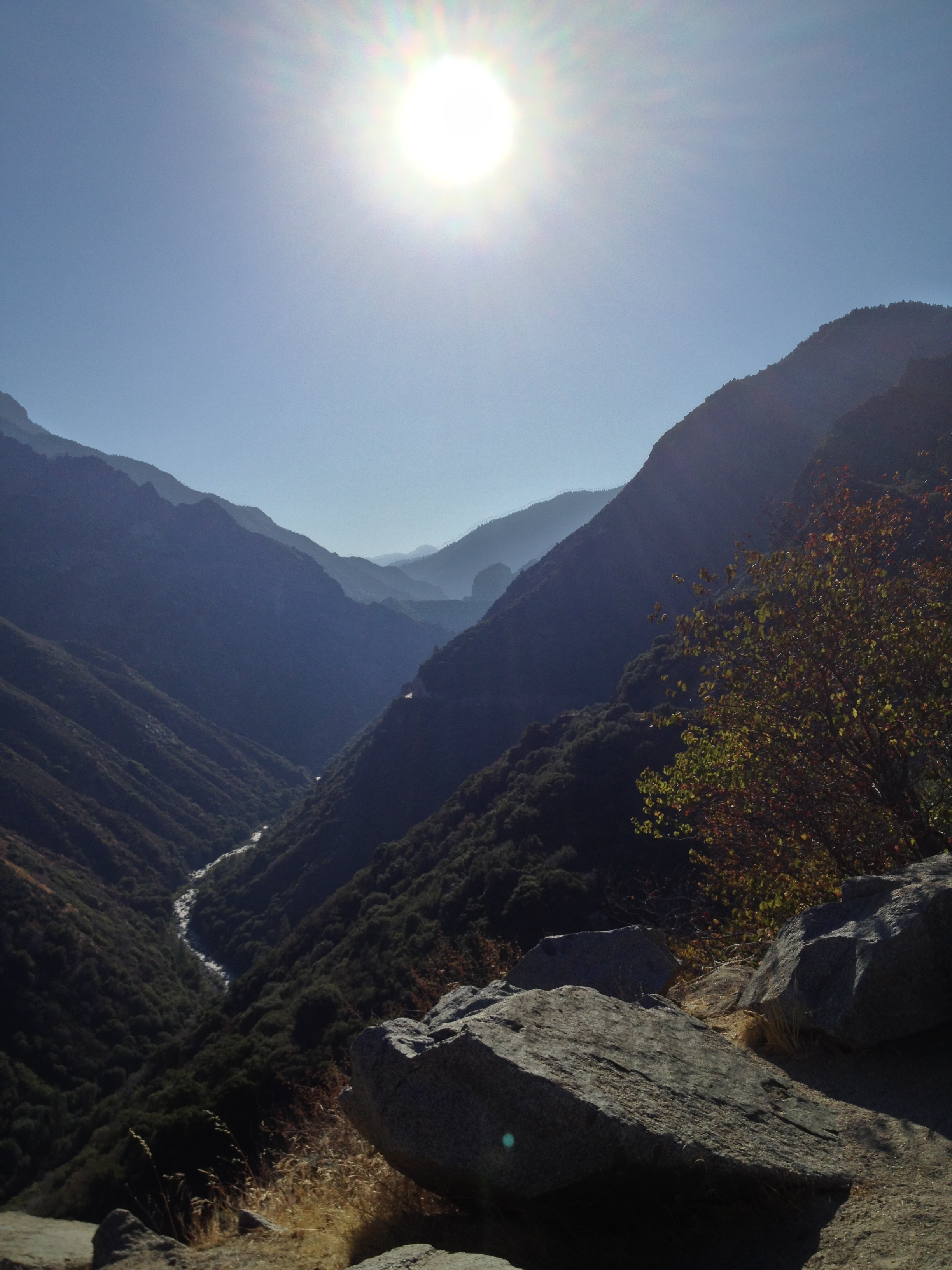
Kings Canyon

Chapel Lake

Division Lake Panorama
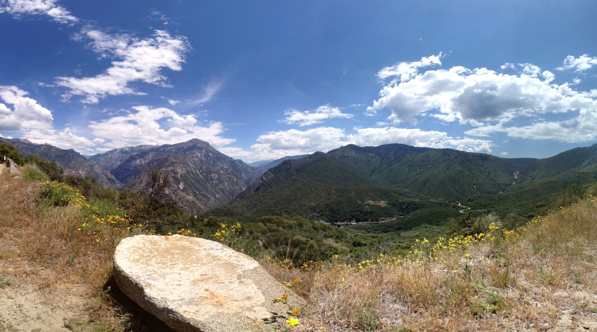
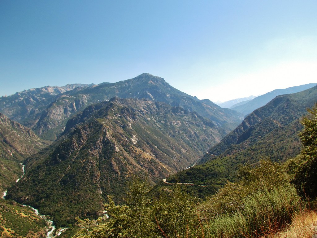
View over King's Canyon
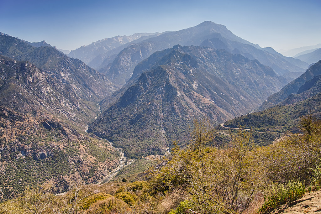
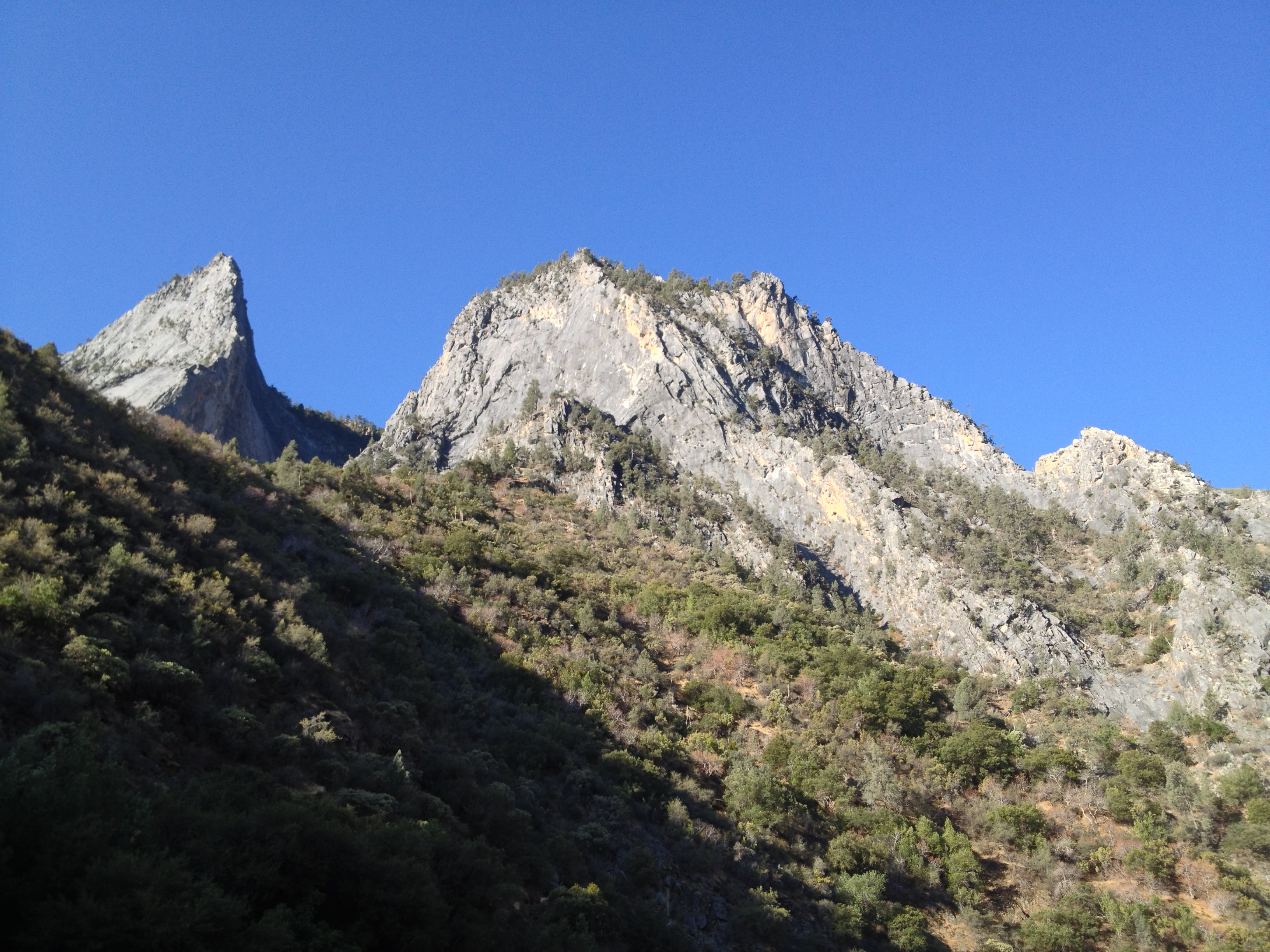
Kings Canyon

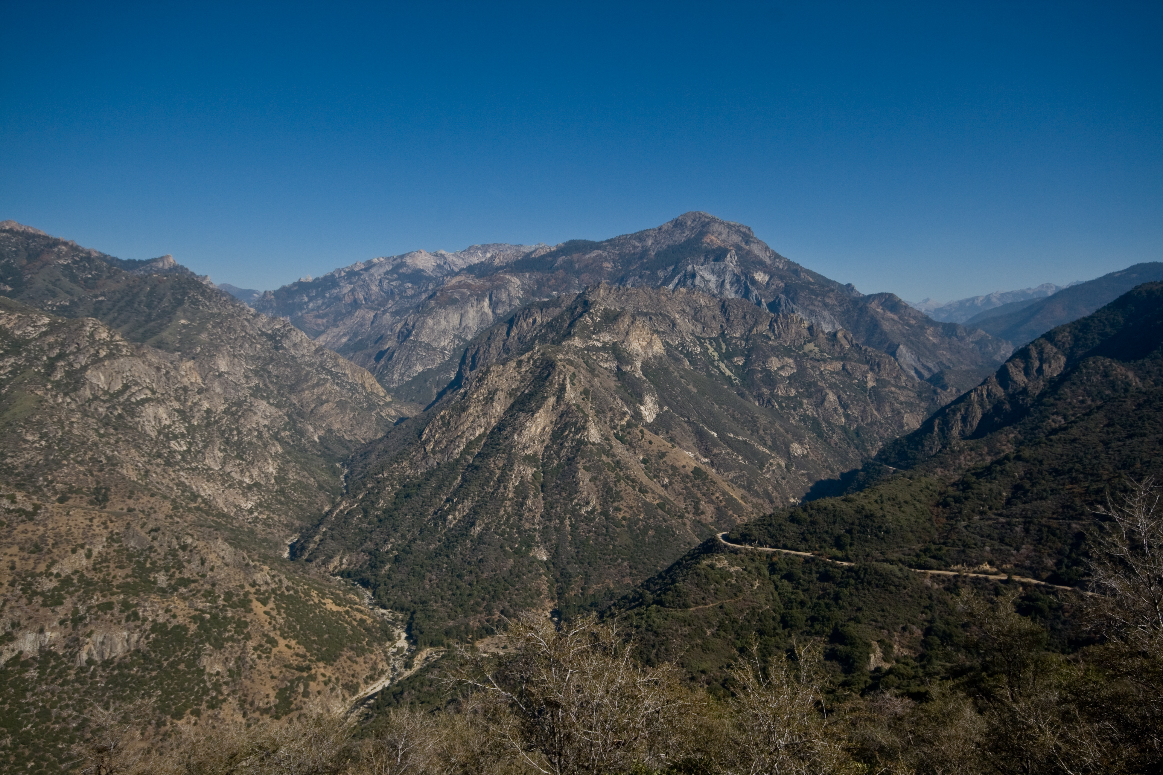
King's Canyon
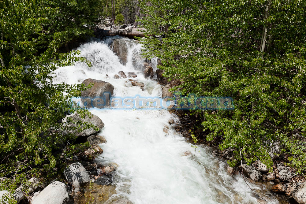
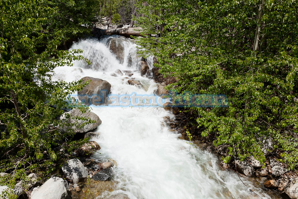
king's river
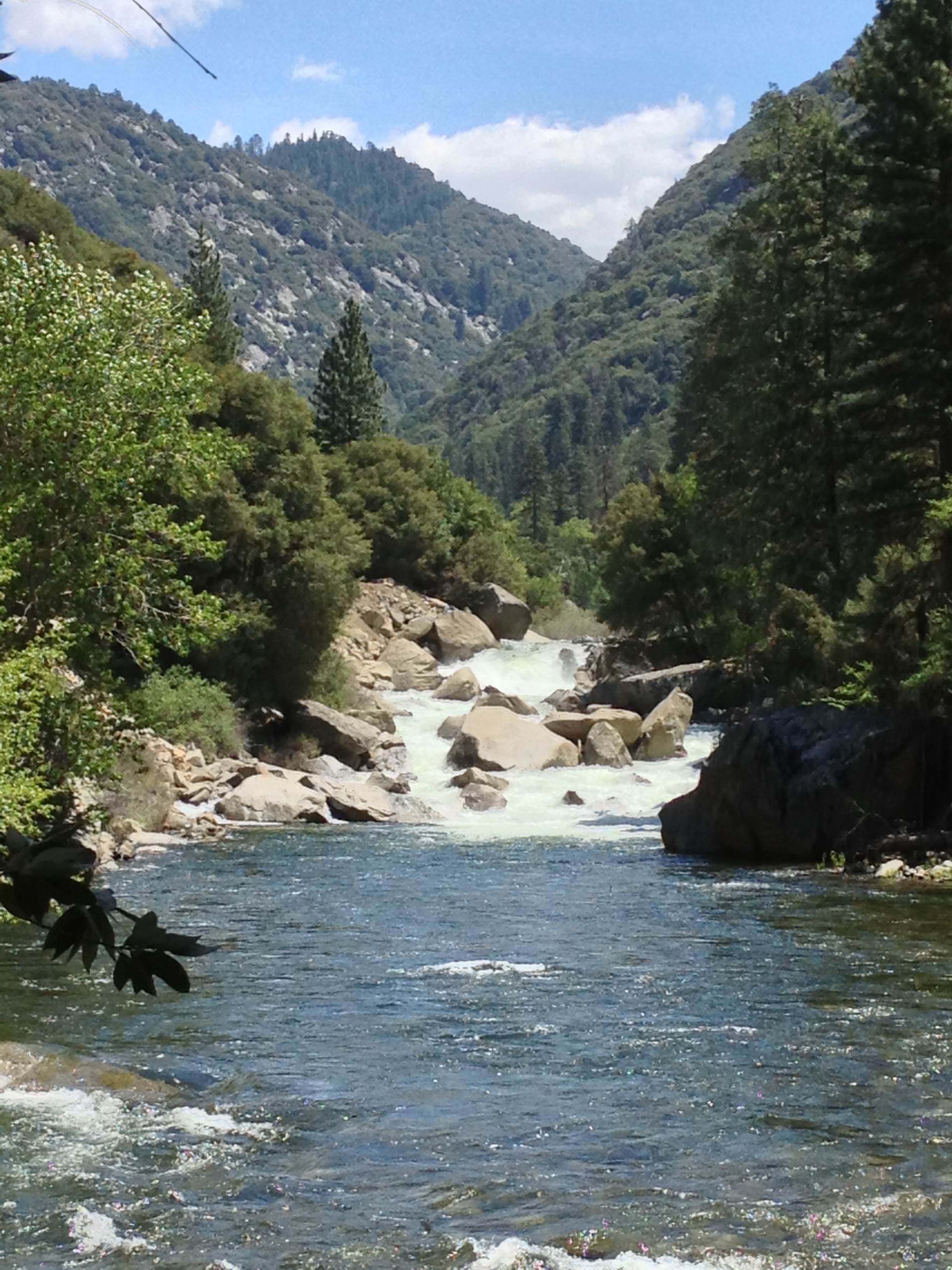
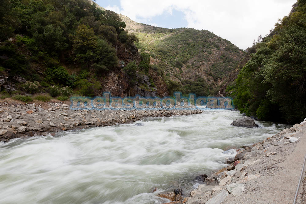
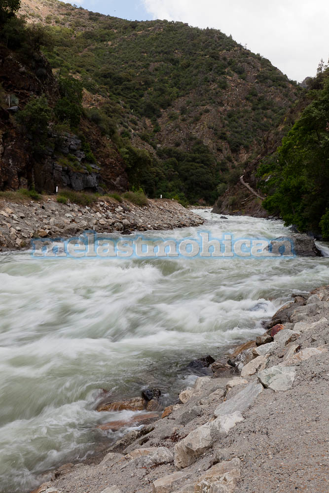
South Fork Kings River
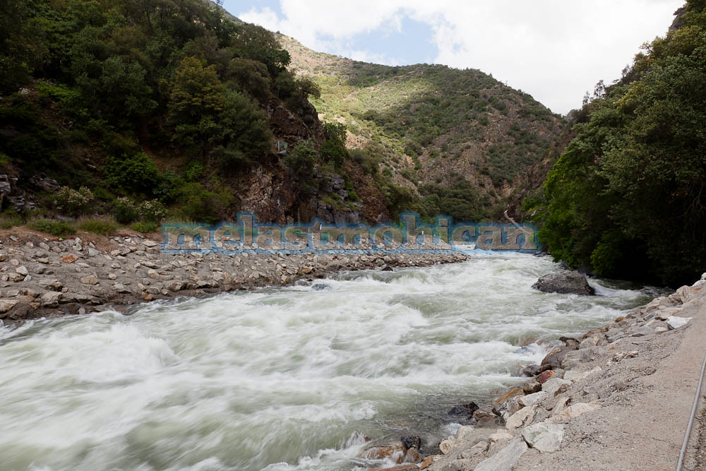
South Fork Kings River
South Fork Kings River
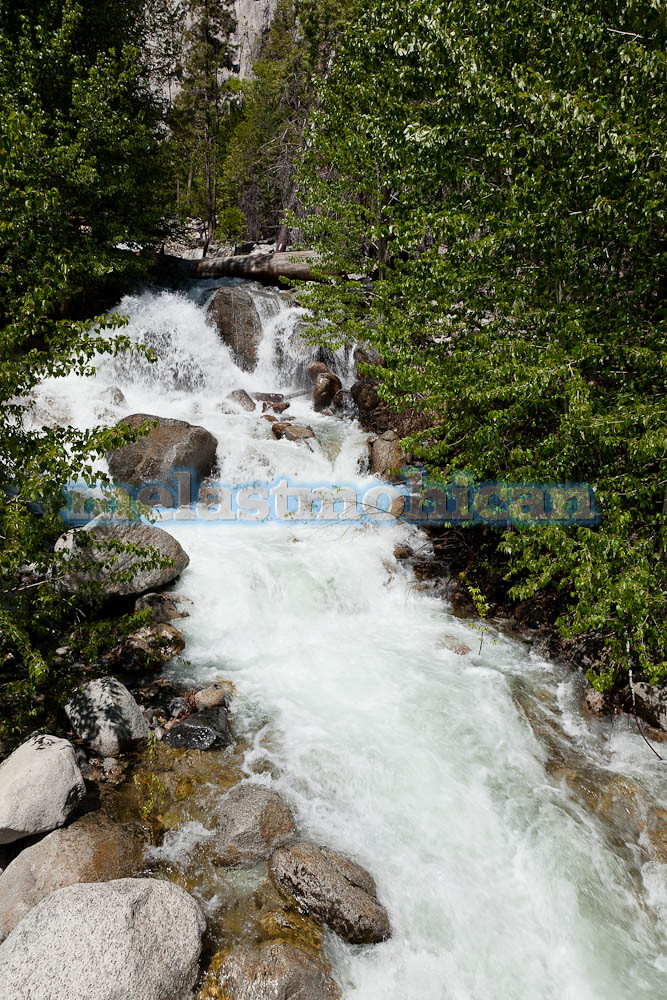
South Fork Kings River
South Fork Kings River
Morning in the canyon
King's Canyon
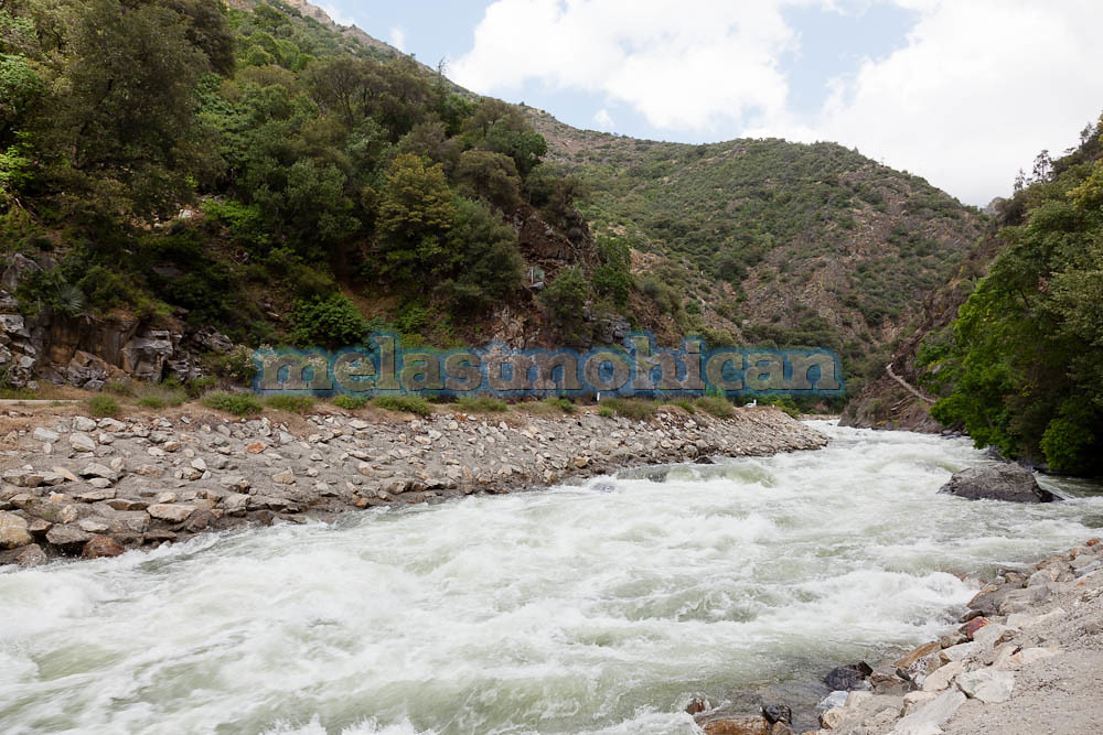
South Fork Kings River
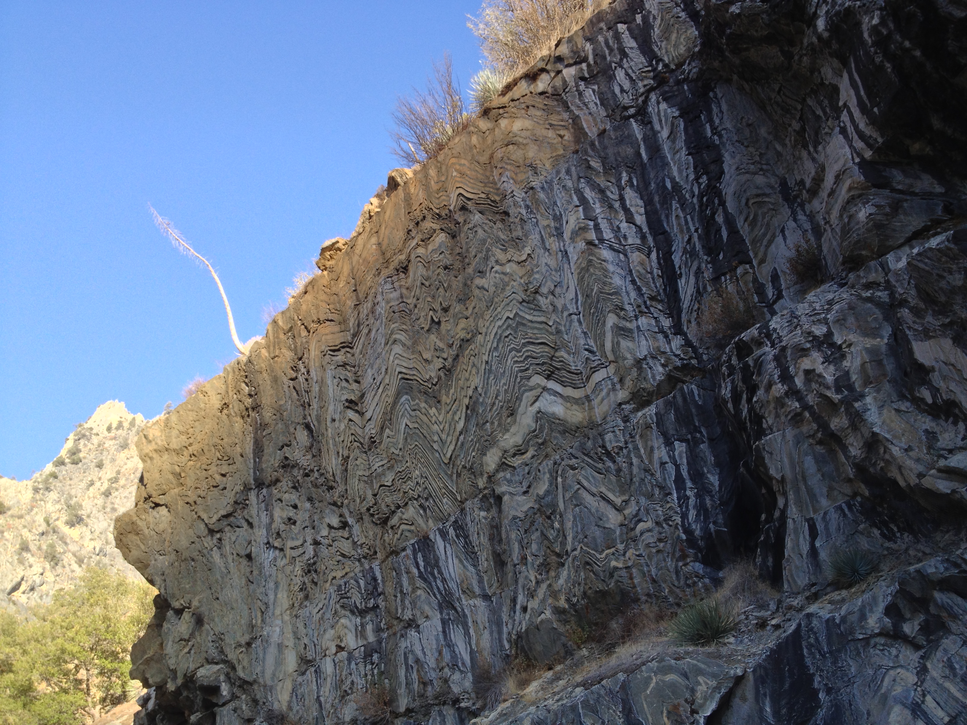
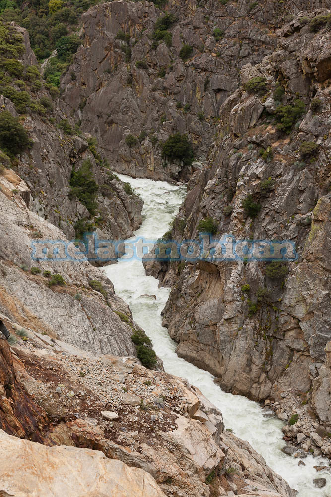
Geological Wall
South Fork Kings River
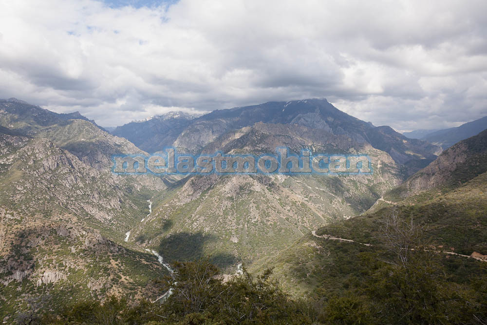
Kings Canyon
Topographic Map of Kettle Dome, California, USA
Find elevation by address:

Places near Kettle Dome, California, USA:
John Muir Wilderness
Kettle Ridge
Castle Peak
Finger Peak
Tunemah Peak
Windy Peak
Mount Hutton
Comb Spur
Charybdis
Wheel Mountain
Hume Lake Campground
Cedar Grove
Sheep Creek Trail
CA-, Kings Canyon National Park, CA, USA
Cedar Grove Lodge
Mount Mcgee
The Citadel
Hume
65275 Memory Ln
Black Giant
Recent Searches:
- Elevation of Corso Fratelli Cairoli, 35, Macerata MC, Italy
- Elevation of Tallevast Rd, Sarasota, FL, USA
- Elevation of 4th St E, Sonoma, CA, USA
- Elevation of Black Hollow Rd, Pennsdale, PA, USA
- Elevation of Oakland Ave, Williamsport, PA, USA
- Elevation of Pedrógão Grande, Portugal
- Elevation of Klee Dr, Martinsburg, WV, USA
- Elevation of Via Roma, Pieranica CR, Italy
- Elevation of Tavkvetili Mountain, Georgia
- Elevation of Hartfords Bluff Cir, Mt Pleasant, SC, USA