Elevation of Kermit Harvey, WV, USA
Location: United States > West Virginia > Mingo County >
Longitude: -82.236598
Latitude: 37.9128139
Elevation: 340m / 1115feet
Barometric Pressure: 97KPa
Elevation Map:
Satellite Map:
Related Photos:
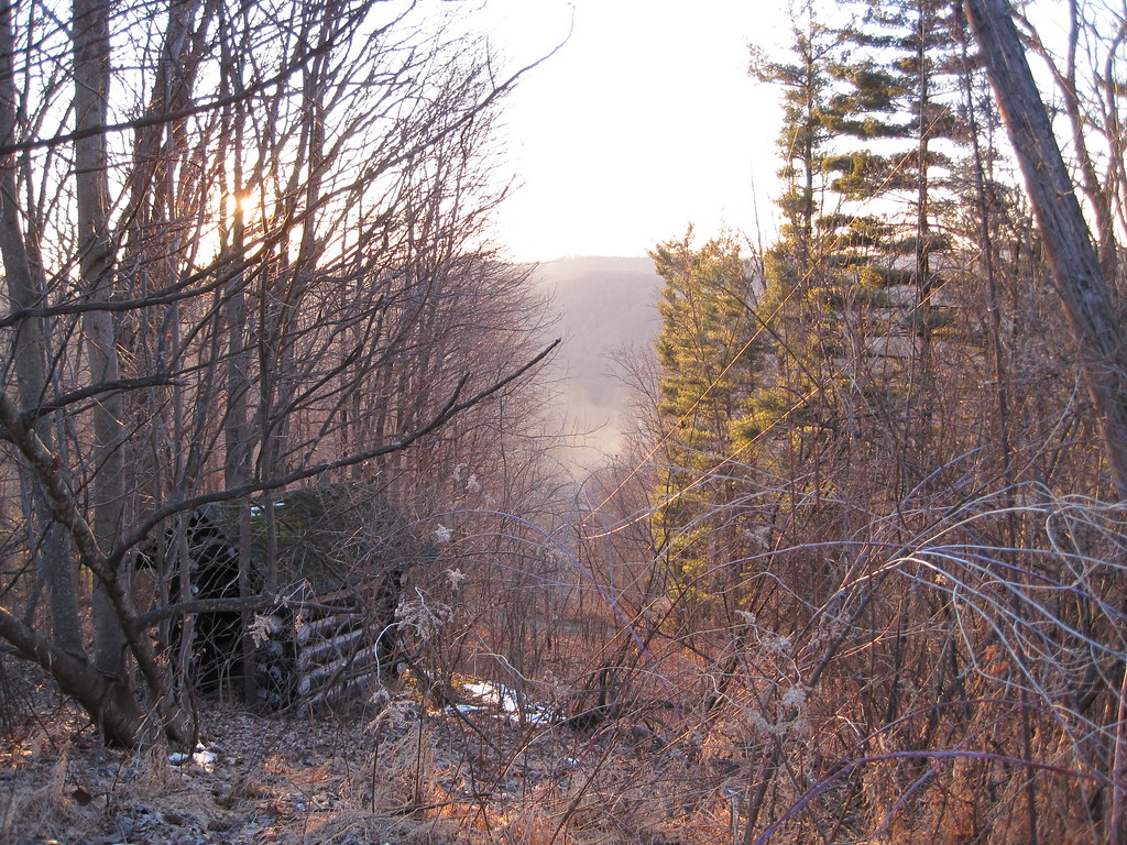
View from Tick Ridge
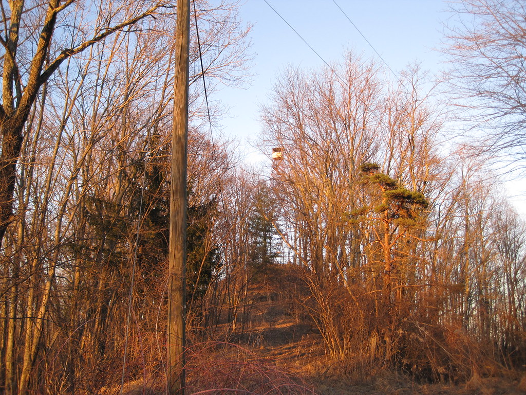
Tick Ridge Fire Tower
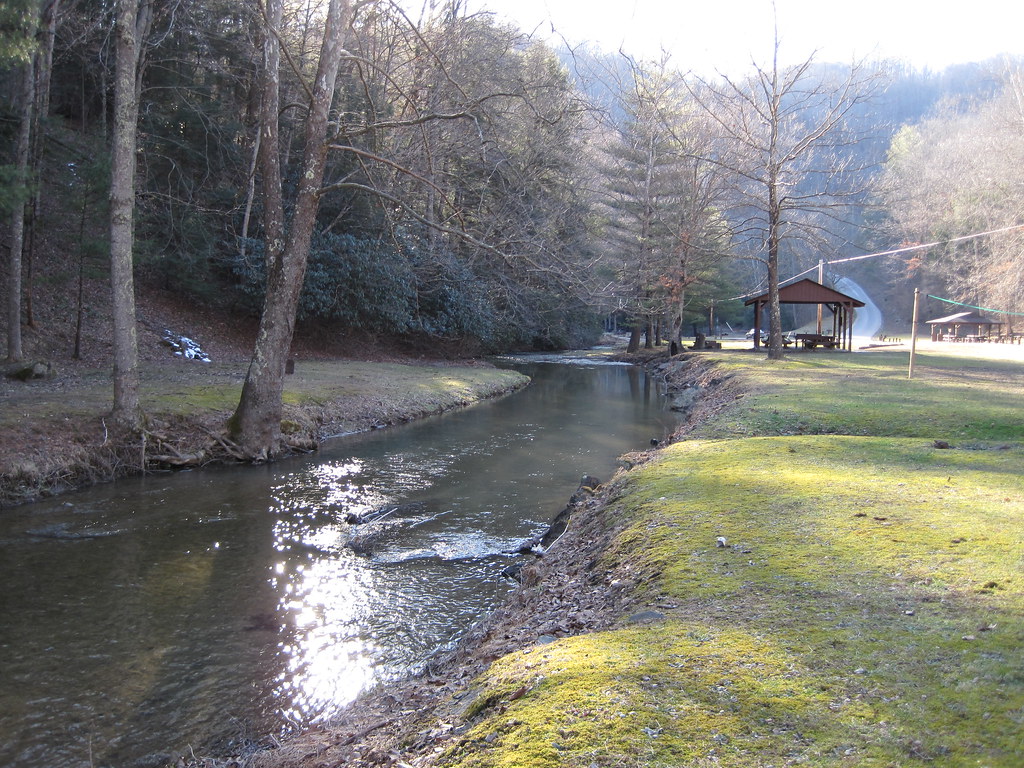
Laurel Fork
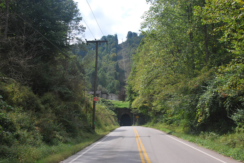
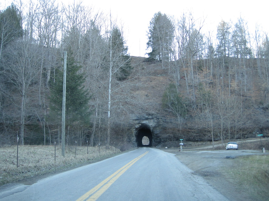
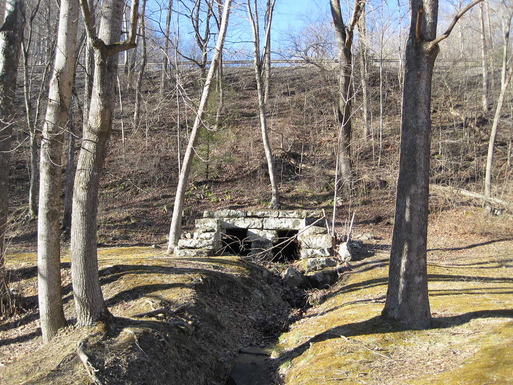
Dingess Tunnel
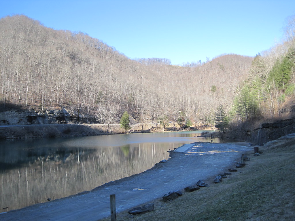
Laurel Lake
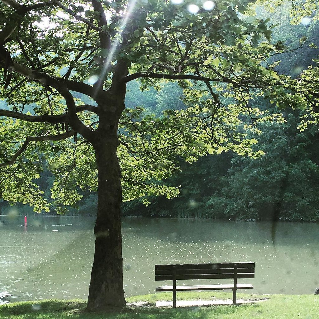
Bench At The Lake

Picnic Pringles
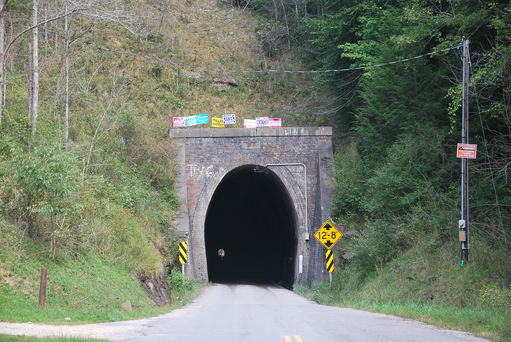
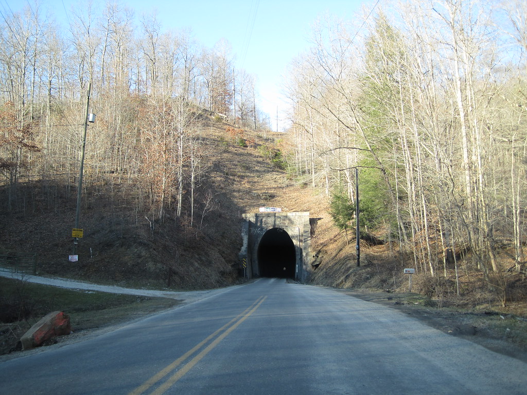
Dingess Tunnel
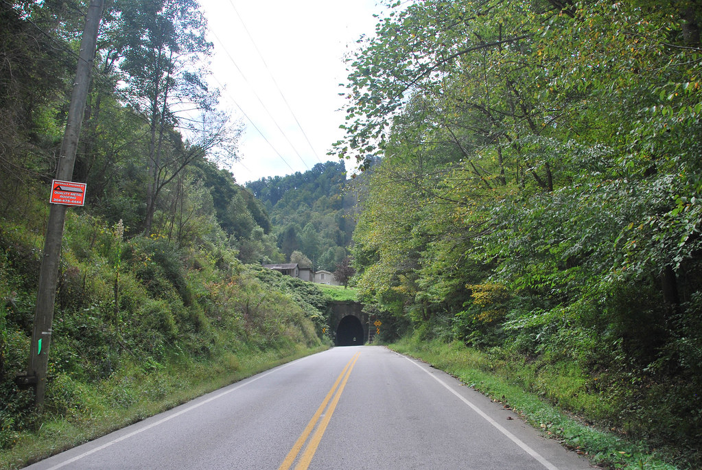
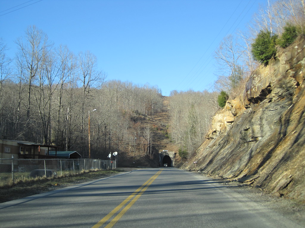
Dingess Tunnel

Sunoco station (3/4)

Sunoco station (2/4)

Sunoco station (1/4)
Breeden Tunnel
Dingess Tunnel

Dingess Tunnel
Dingess Tunnel
Mingo CR 3/5
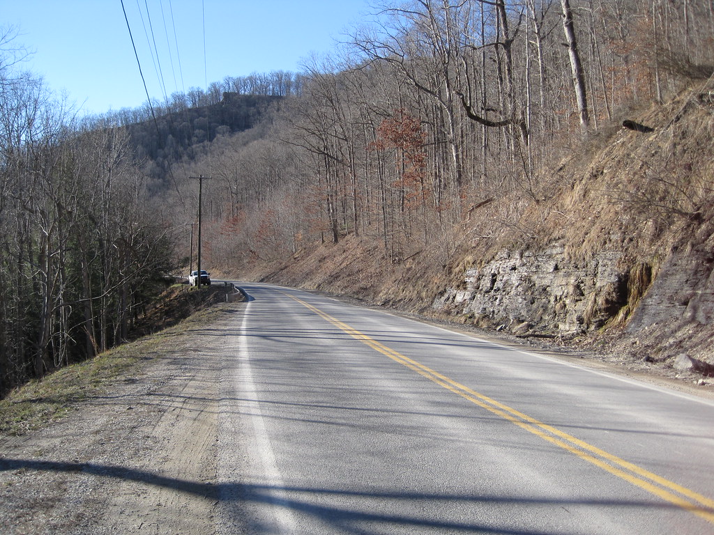
Mingo CR 3/5
N&W Twelvepole Line Stone Culvert
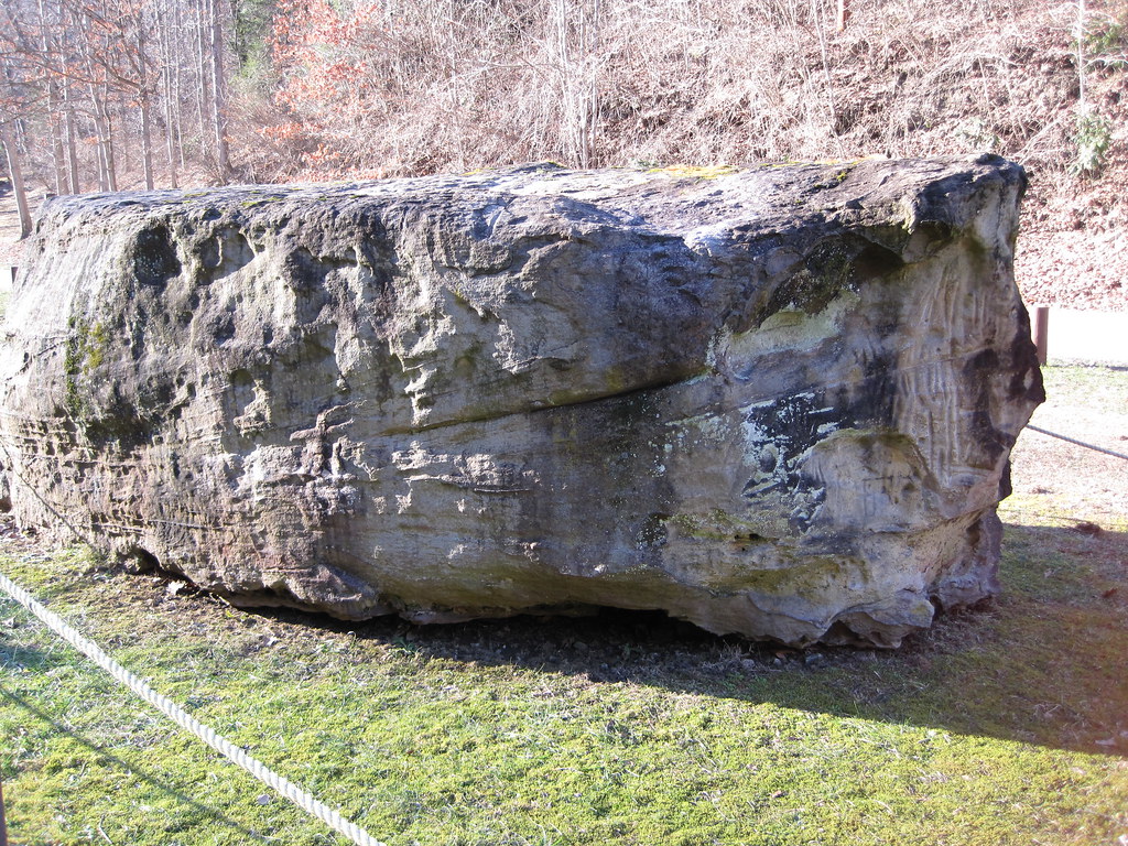
Dingess Petroglyphs
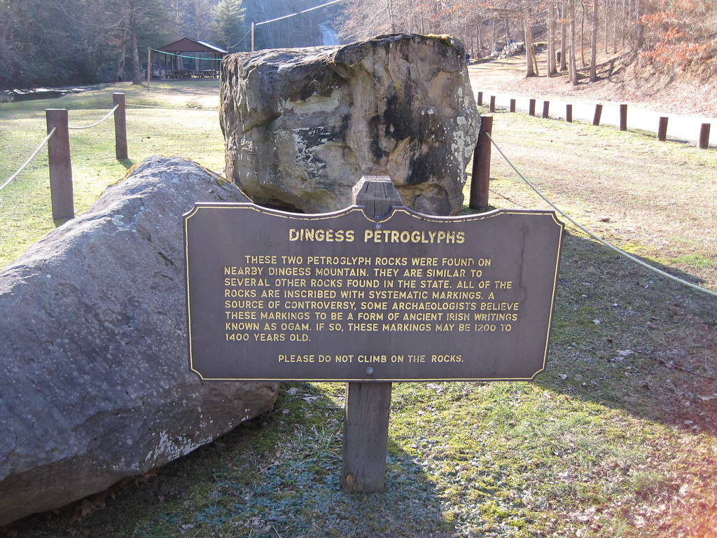
Dingess Petroglyphs
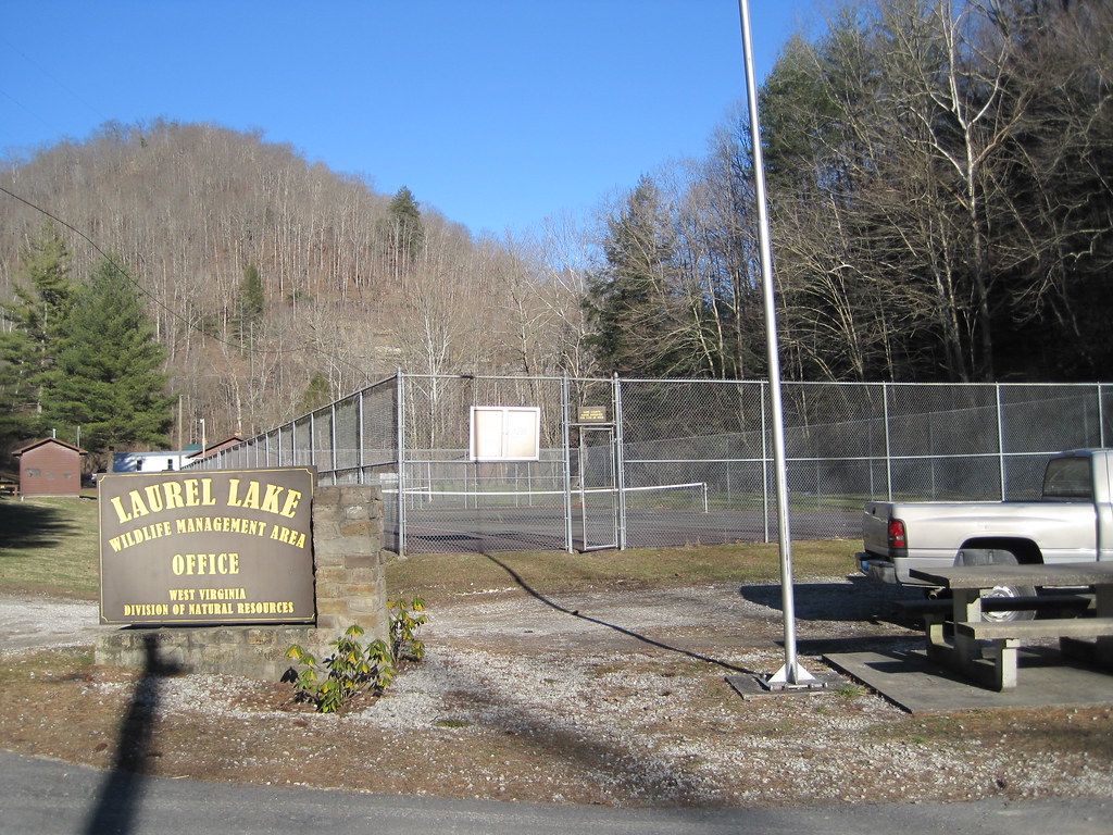
Laurel Lake WMA

Laurel Fork
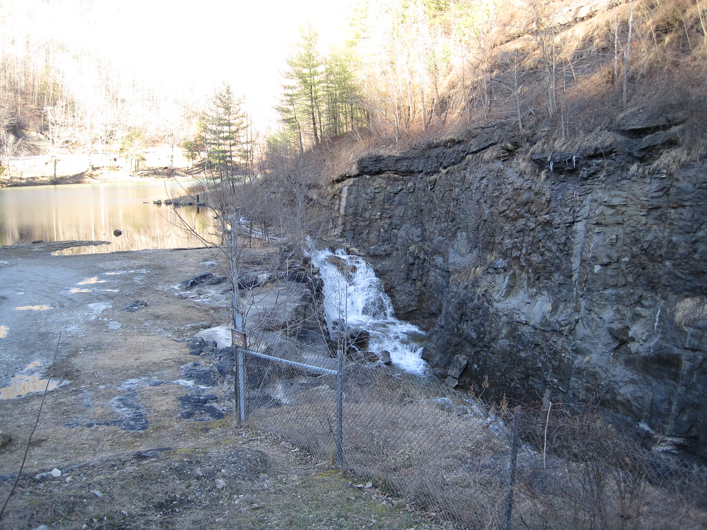
Laurel Lake Spillway
Topographic Map of Kermit Harvey, WV, USA
Find elevation by address:

Places in Kermit Harvey, WV, USA:
Places near Kermit Harvey, WV, USA:
91 Dingess Rd, Dingess, WV, USA
22 Breeden Crk, Breeden, WV, USA
Dingess
77 Laurel Crk, Lenore, WV, USA
13 Ajax Branch, Williamson, WV, USA
872 Wv-65
872 Wv-65
Mingo County
Tug Hardee
Shively, WV, USA
48 Old Delta 48 Rd, Holden, WV, USA
Stonecoal
Lower Curry Cemetery
Kermit
Lovely
Webb Street
Lee
Holden
21 Deskins Dr, Williamson, WV, USA
Mount Gay-shamrock
Recent Searches:
- Elevation of Lampiasi St, Sarasota, FL, USA
- Elevation of Elwyn Dr, Roanoke Rapids, NC, USA
- Elevation of Congressional Dr, Stevensville, MD, USA
- Elevation of Bellview Rd, McLean, VA, USA
- Elevation of Stage Island Rd, Chatham, MA, USA
- Elevation of Shibuya Scramble Crossing, 21 Udagawacho, Shibuya City, Tokyo -, Japan
- Elevation of Jadagoniai, Kaunas District Municipality, Lithuania
- Elevation of Pagonija rock, Kranto 7-oji g. 8"N, Kaunas, Lithuania
- Elevation of Co Rd 87, Jamestown, CO, USA
- Elevation of Tenjo, Cundinamarca, Colombia