Elevation of Dingess, WV, USA
Location: United States > West Virginia > Mingo County > Kermit Harvey >
Longitude: -82.174858
Latitude: 37.8723216
Elevation: 296m / 971feet
Barometric Pressure: 98KPa
Elevation Map:
Satellite Map:
Related Photos:

Norfolk and Western 2136 along Pigeon Ck, WV
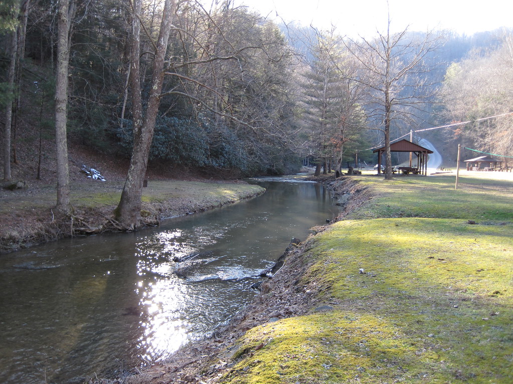
Laurel Fork
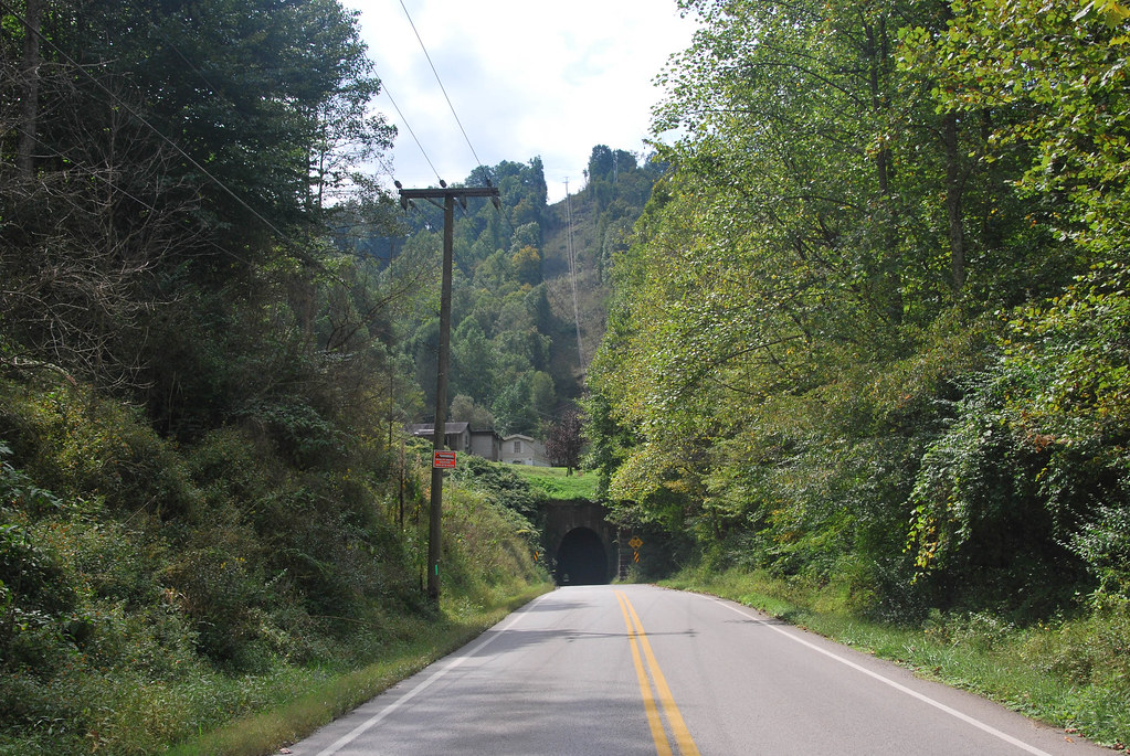
Dingess Tunnel
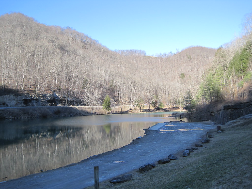
Laurel Lake

Sundown Whitman, WV 1

20081020-153724.jpg
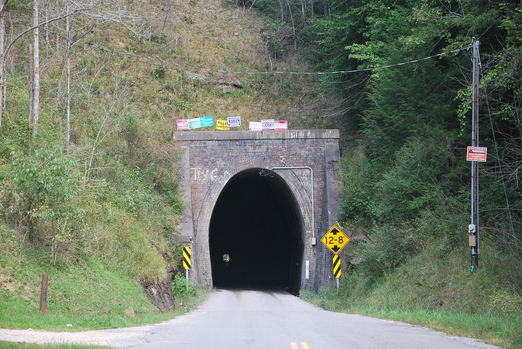
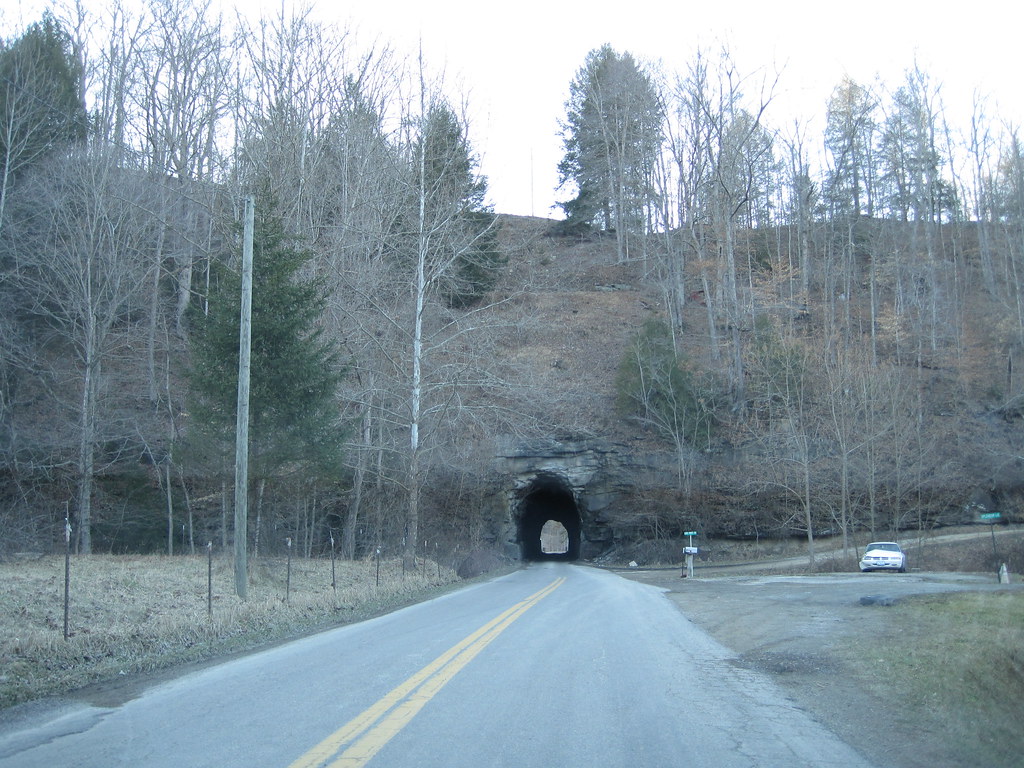
Dingess Tunnel
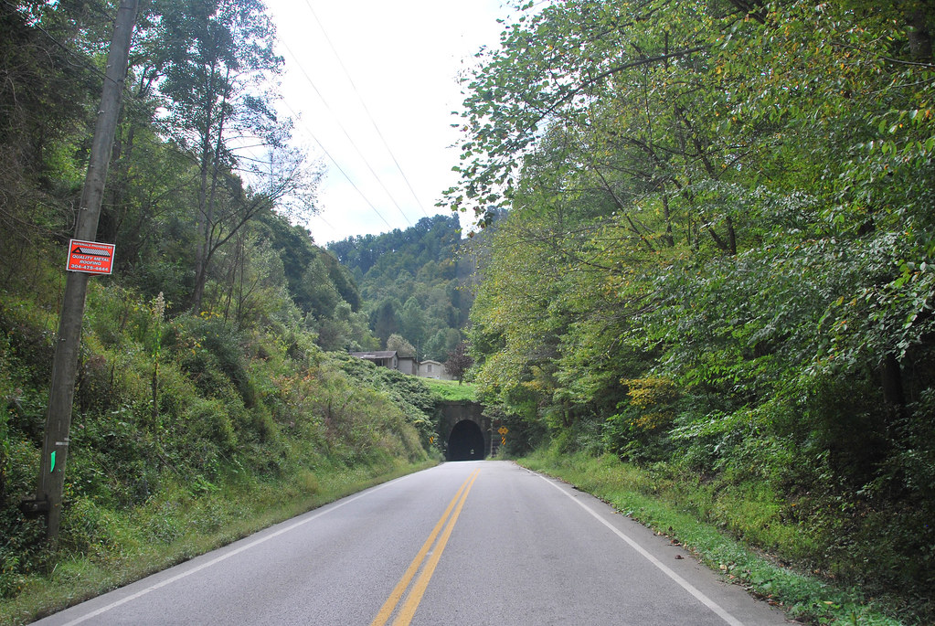
Dingess Tunnel

Sunoco station (3/4)

Sunoco station (2/4)

Sunoco station (1/4)
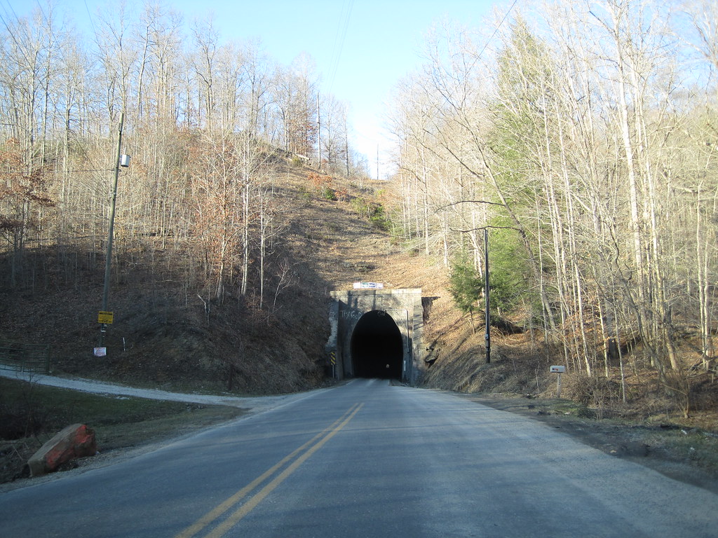
Breeden Tunnel
Dingess Tunnel

Dingess Tunnel
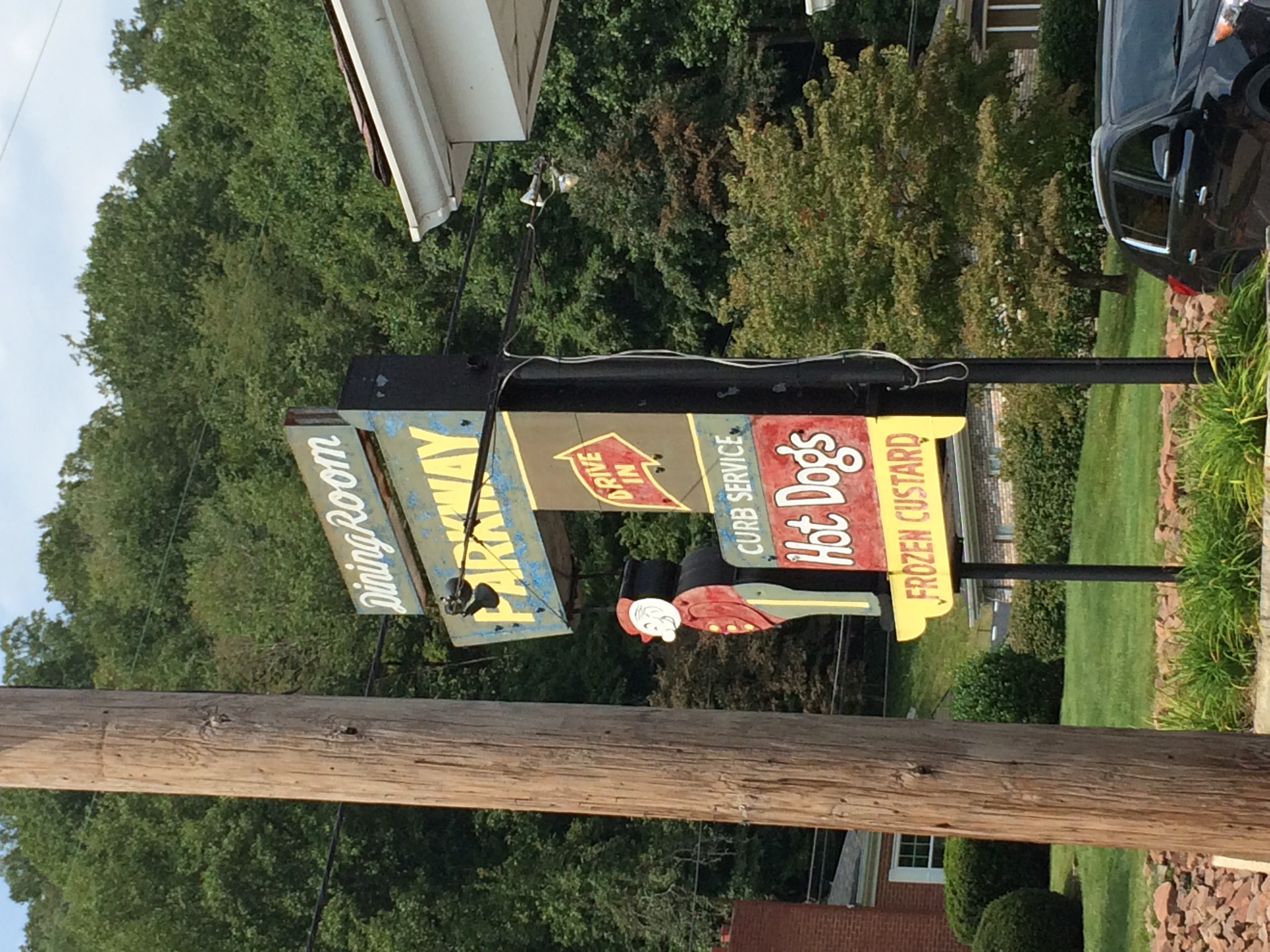
Parkway Drive In
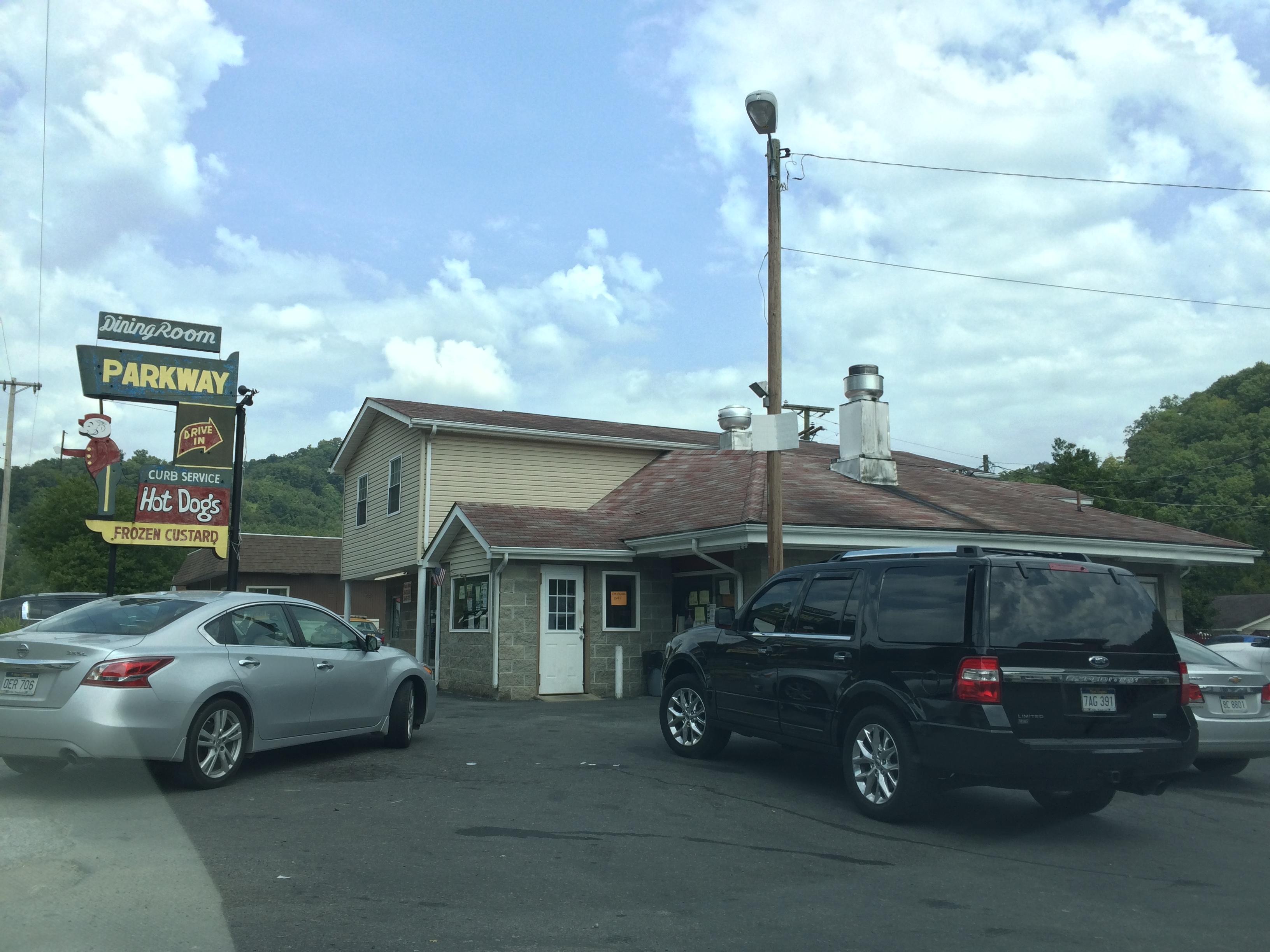
Parkway Drive In
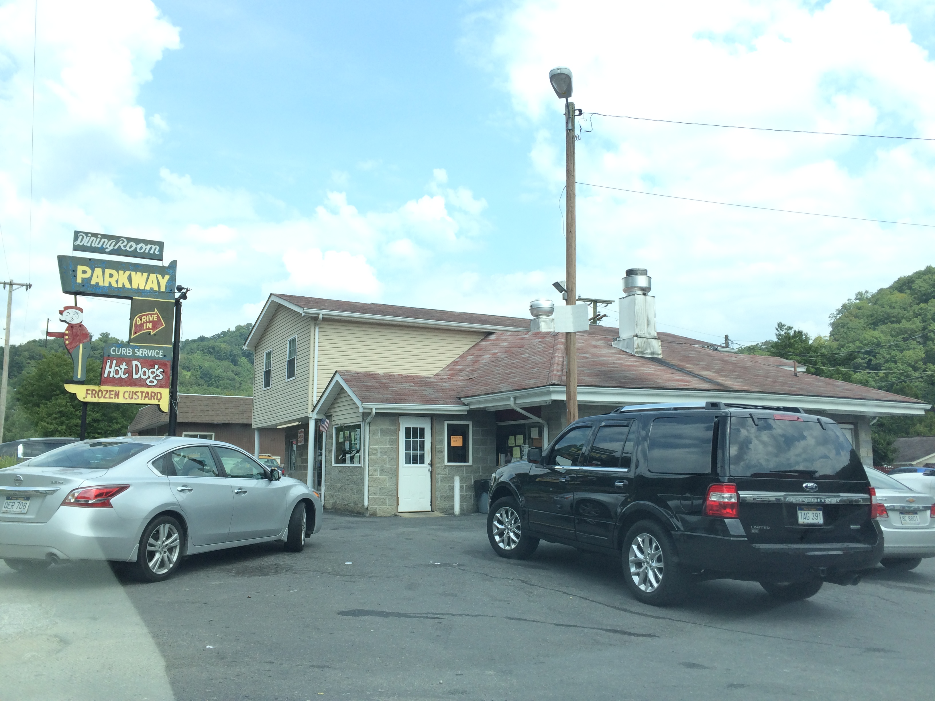
Parkway Drive In

Parkway Drive In
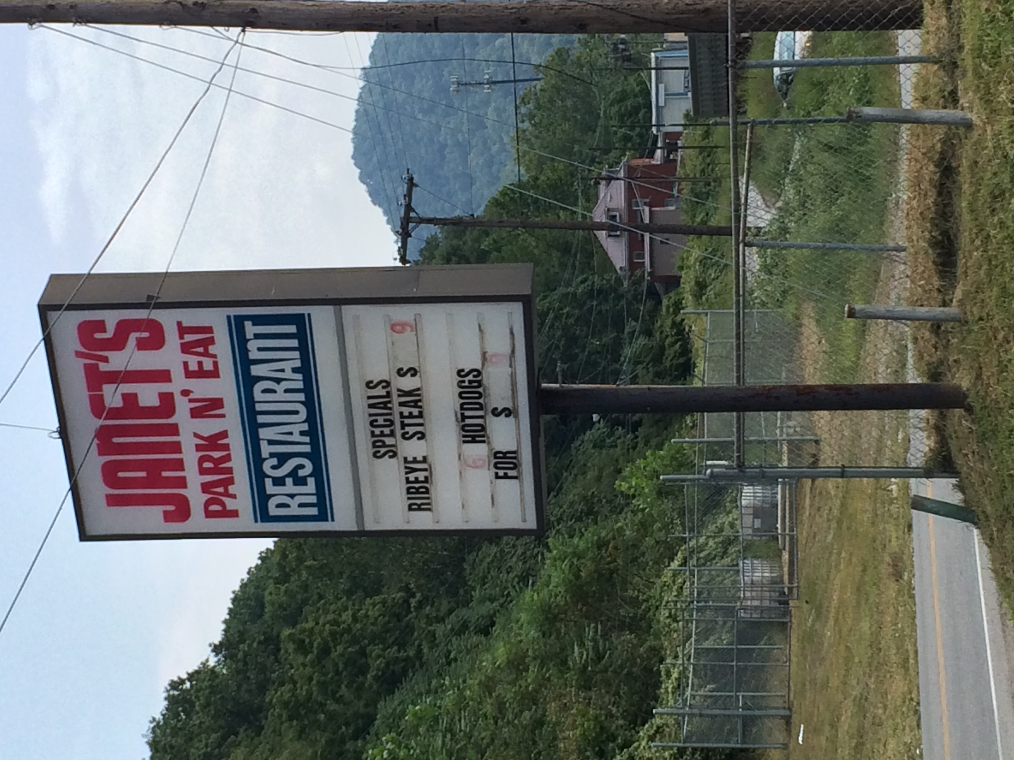
Janet's Park & Eat
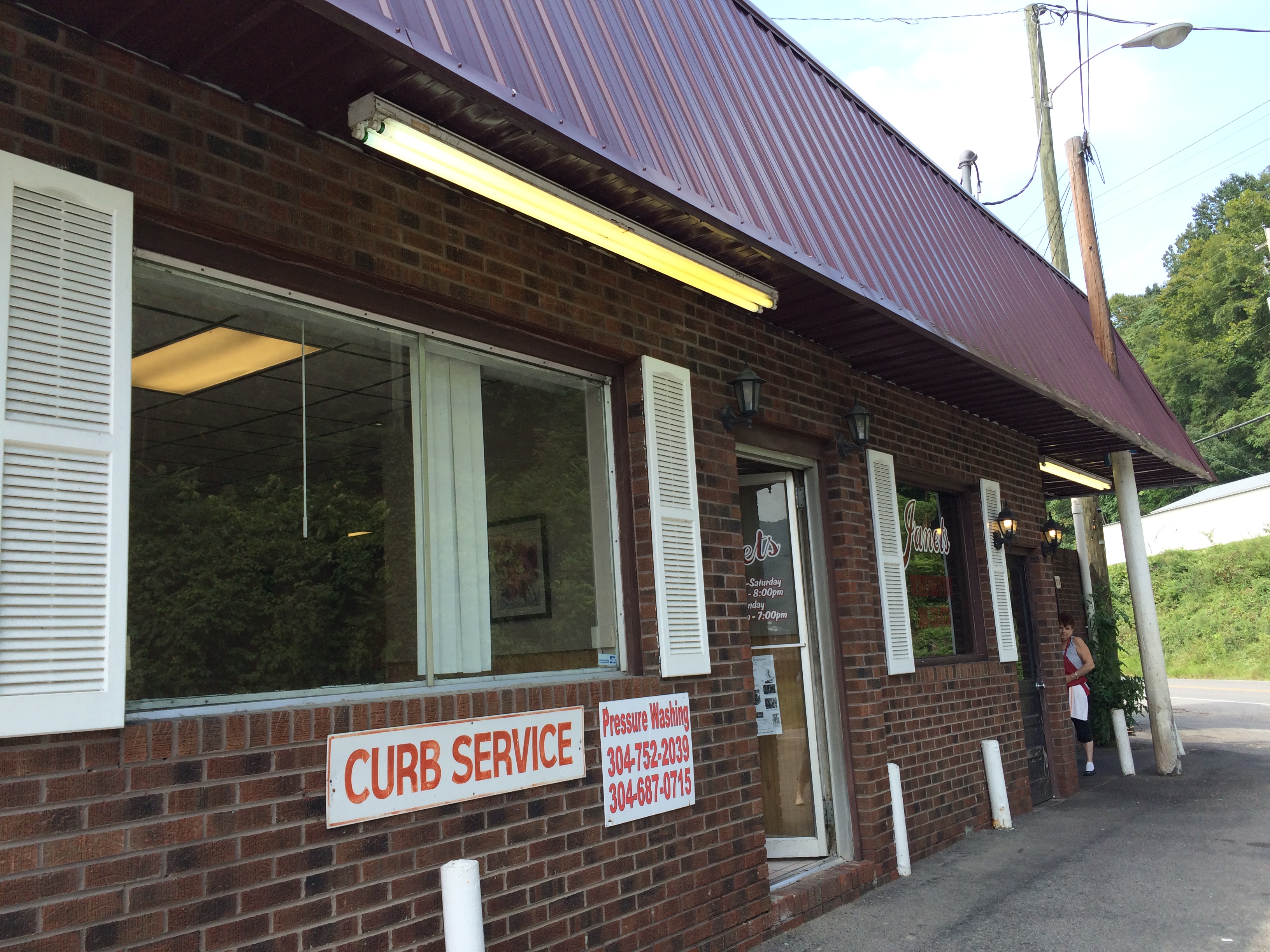
Janet's Park & Eat
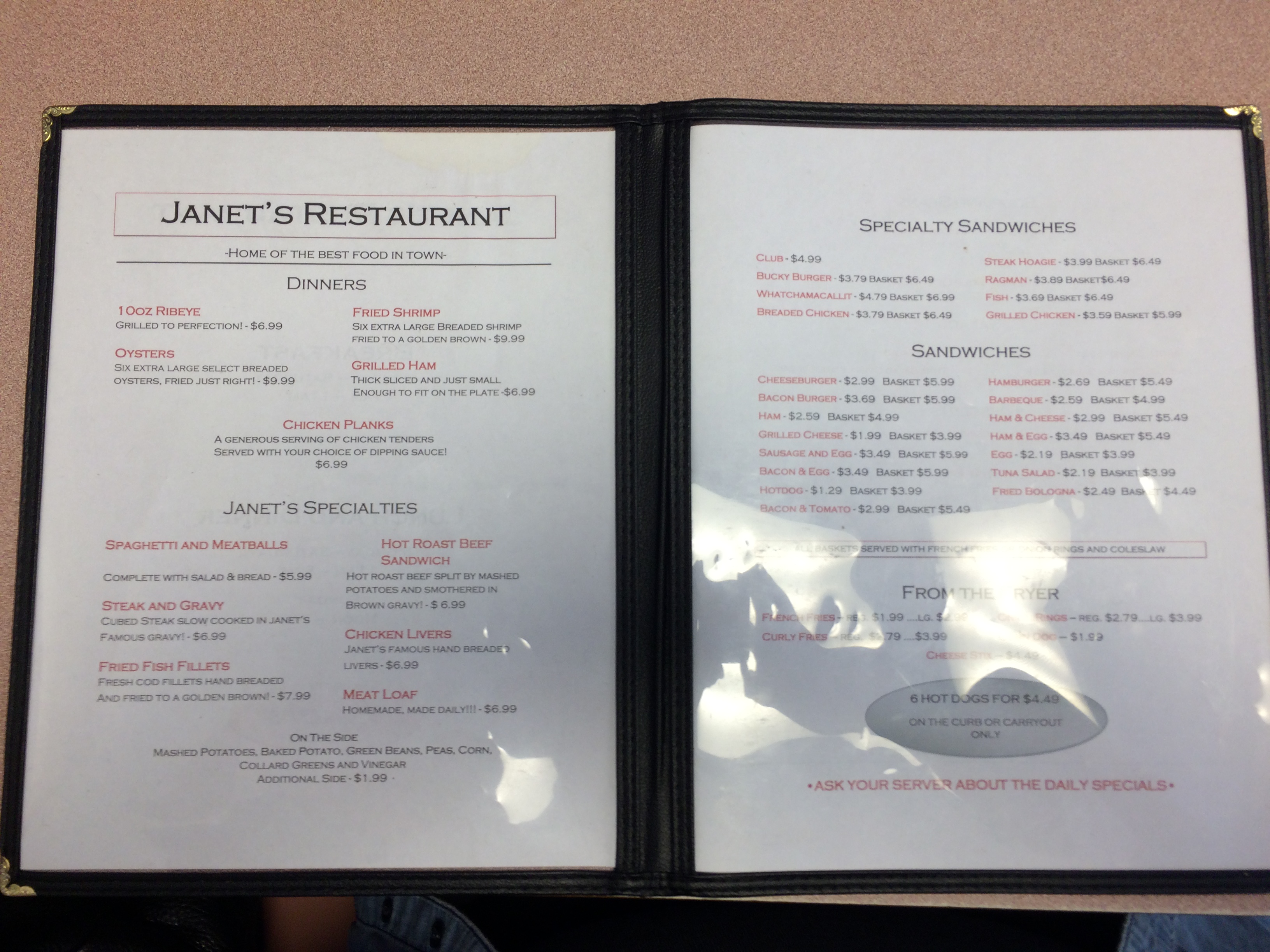
Janet's Park & Eat

Janet's Park & Eat

Janet's Park & Eat
Topographic Map of Dingess, WV, USA
Find elevation by address:

Places in Dingess, WV, USA:
Places near Dingess, WV, USA:
91 Dingess Rd, Dingess, WV, USA
Kermit Harvey
48 Old Delta 48 Rd, Holden, WV, USA
22 Breeden Crk, Breeden, WV, USA
Mingo County
77 Laurel Crk, Lenore, WV, USA
Holden
Shively, WV, USA
Lower Curry Cemetery
Lee
Mount Gay-shamrock
13 Ajax Branch, Williamson, WV, USA
872 Wv-65
872 Wv-65
193 Maynard Park
Pine Creek Rd, Omar, WV, USA
Delbarton
Tug Hardee
81 Taurus St, Logan, WV, USA
Buffalo Mountain Trailhead, Hatfield-mccoy Trails
Recent Searches:
- Elevation of Lampiasi St, Sarasota, FL, USA
- Elevation of Elwyn Dr, Roanoke Rapids, NC, USA
- Elevation of Congressional Dr, Stevensville, MD, USA
- Elevation of Bellview Rd, McLean, VA, USA
- Elevation of Stage Island Rd, Chatham, MA, USA
- Elevation of Shibuya Scramble Crossing, 21 Udagawacho, Shibuya City, Tokyo -, Japan
- Elevation of Jadagoniai, Kaunas District Municipality, Lithuania
- Elevation of Pagonija rock, Kranto 7-oji g. 8"N, Kaunas, Lithuania
- Elevation of Co Rd 87, Jamestown, CO, USA
- Elevation of Tenjo, Cundinamarca, Colombia