Elevation of 91 Dingess Rd, Dingess, WV, USA
Location: United States > West Virginia > Mingo County > Kermit Harvey > Dingess >
Longitude: -82.243127
Latitude: 37.894215
Elevation: 266m / 873feet
Barometric Pressure: 98KPa
Elevation Map:
Satellite Map:
Related Photos:
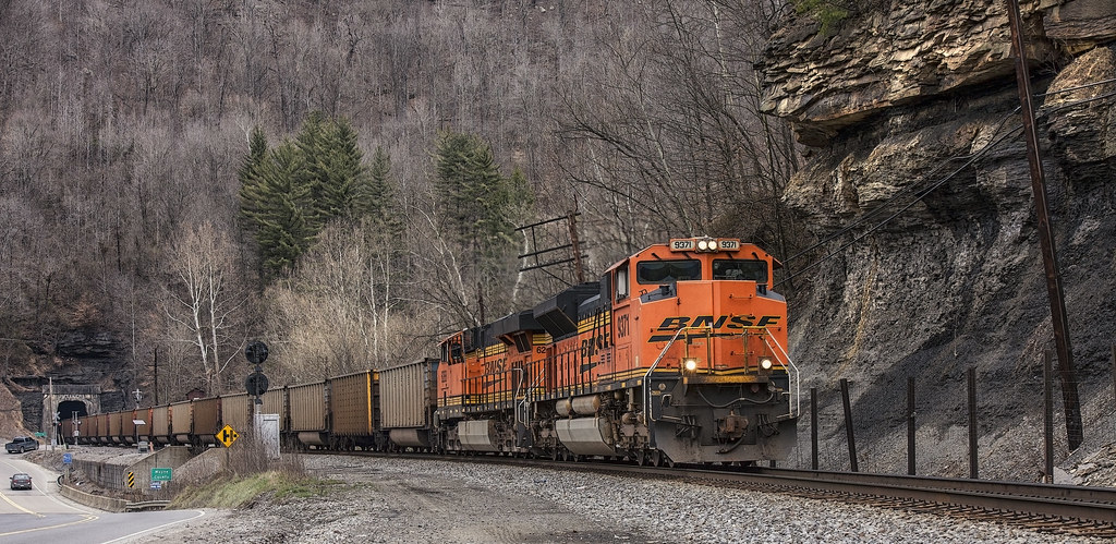
BNSF in catfish country
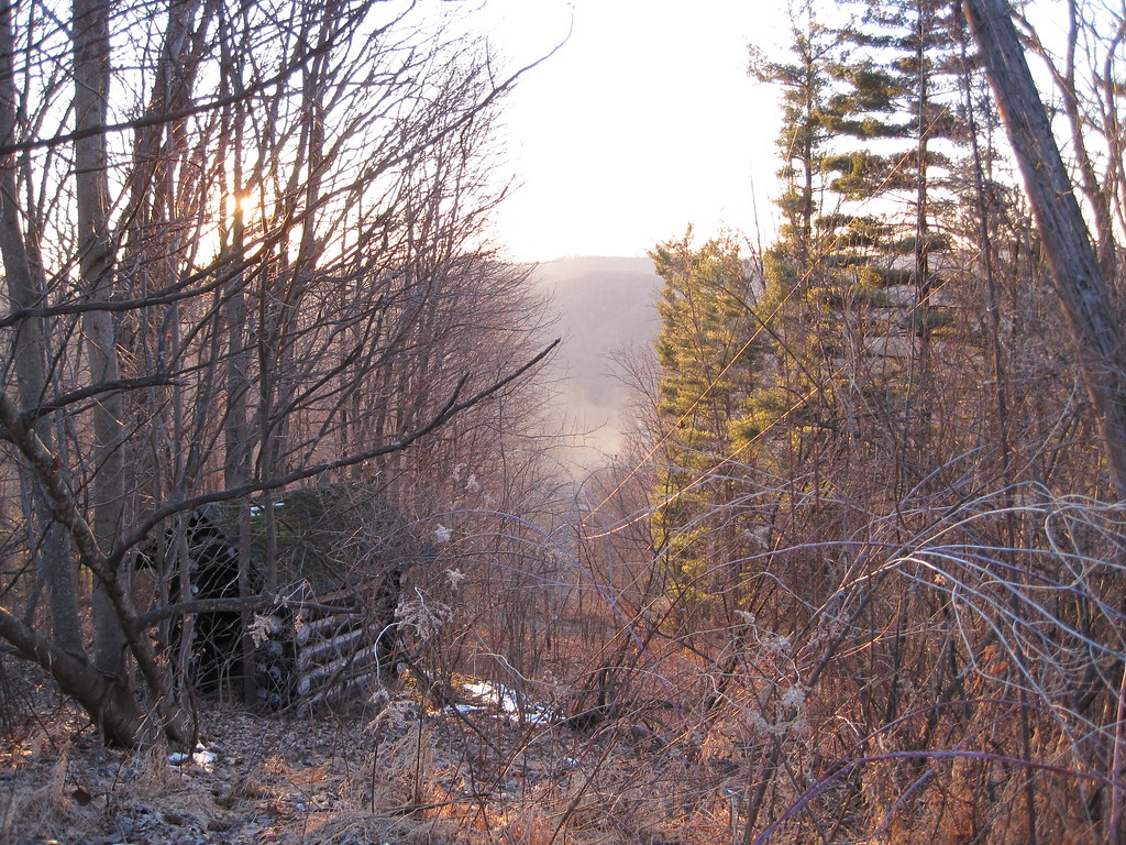
View from Tick Ridge
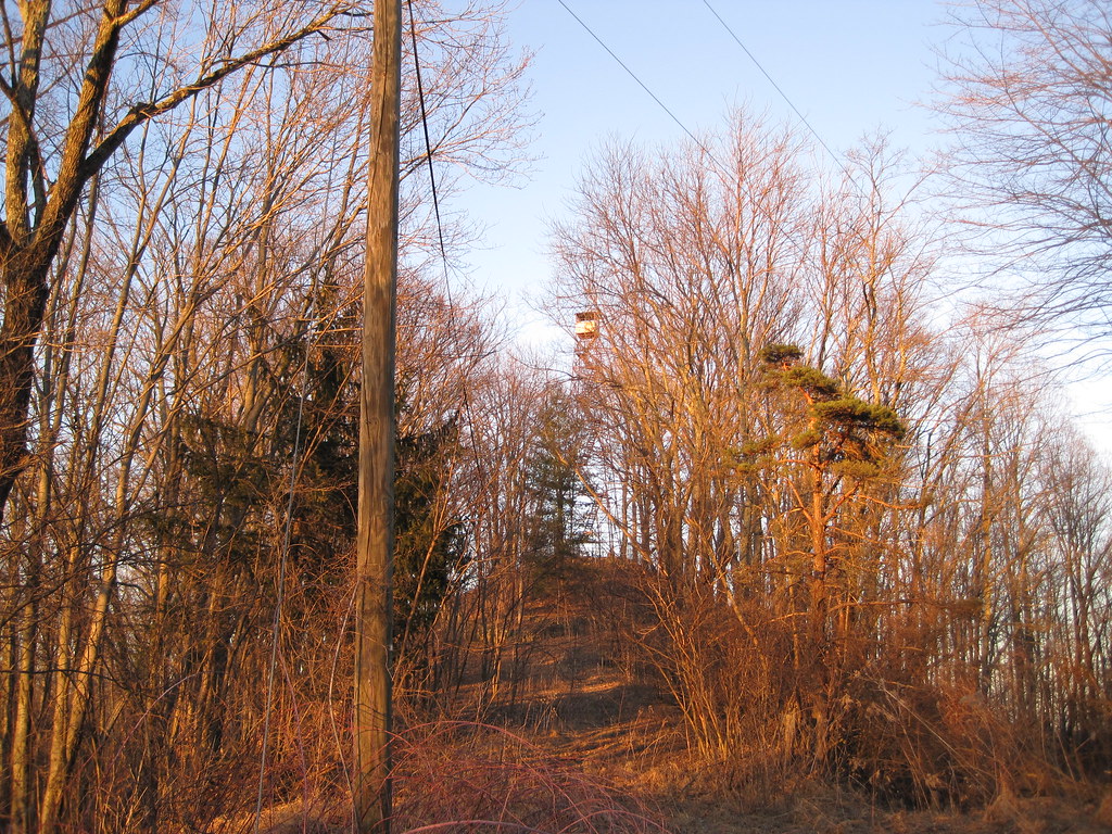
Tick Ridge Fire Tower
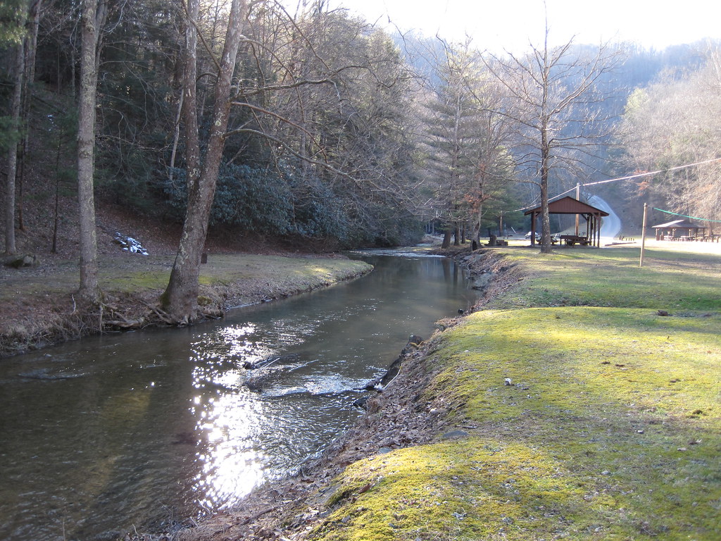
Laurel Fork
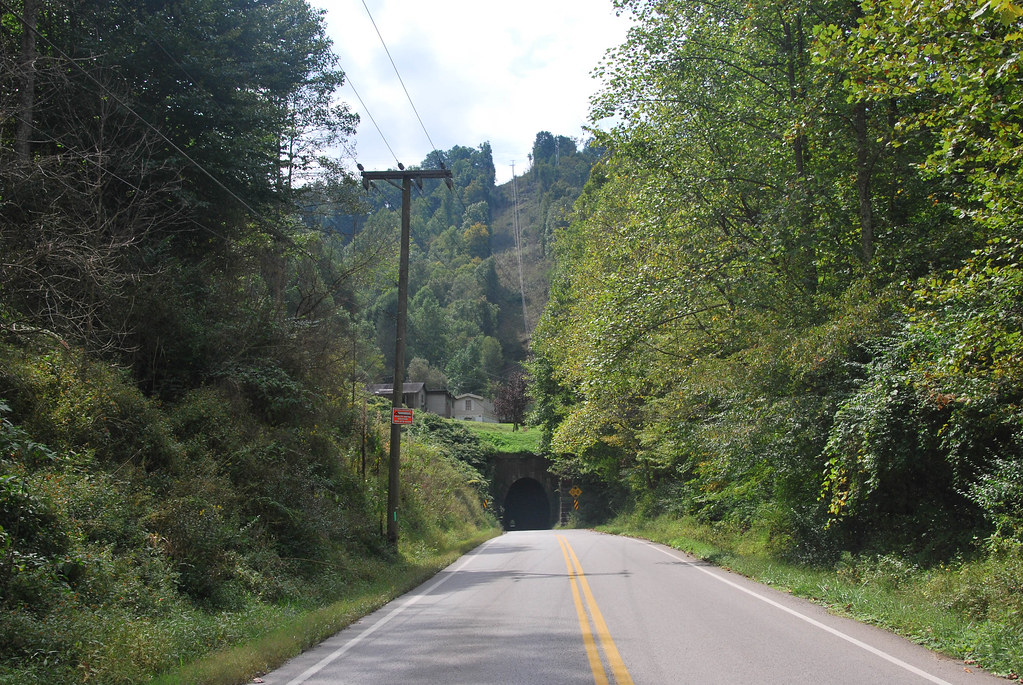
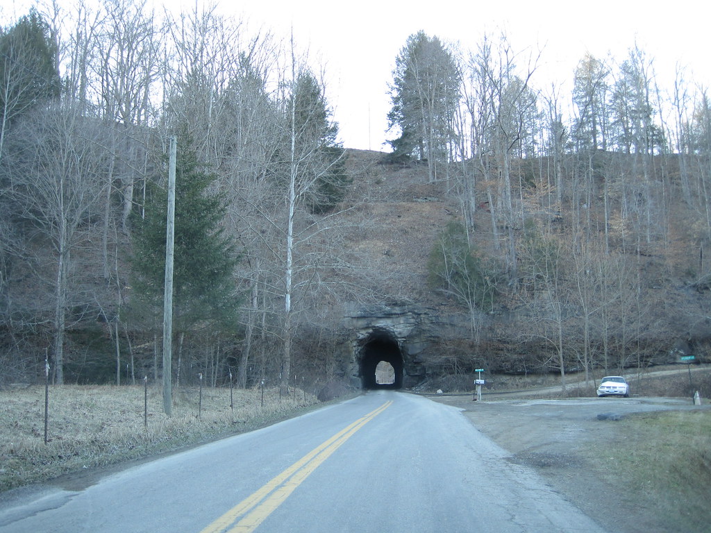
Dingess Tunnel
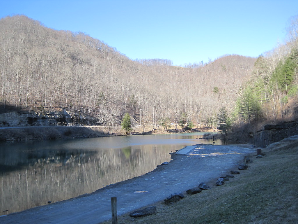
Laurel Lake
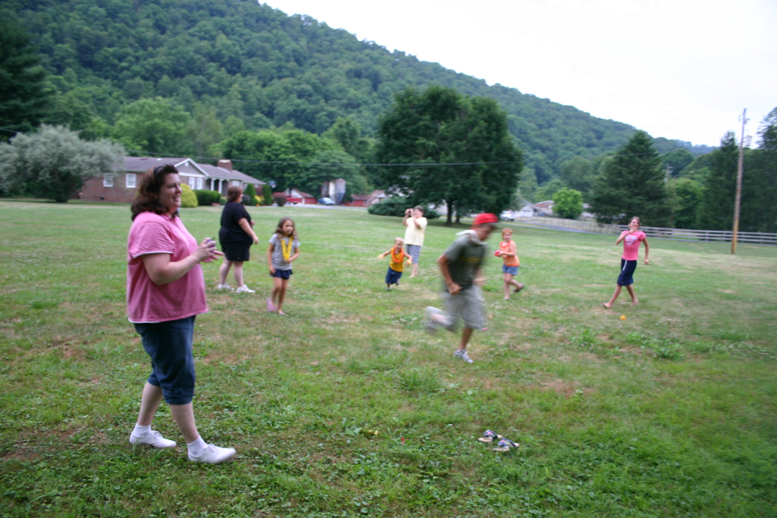
Reunion_2007 158
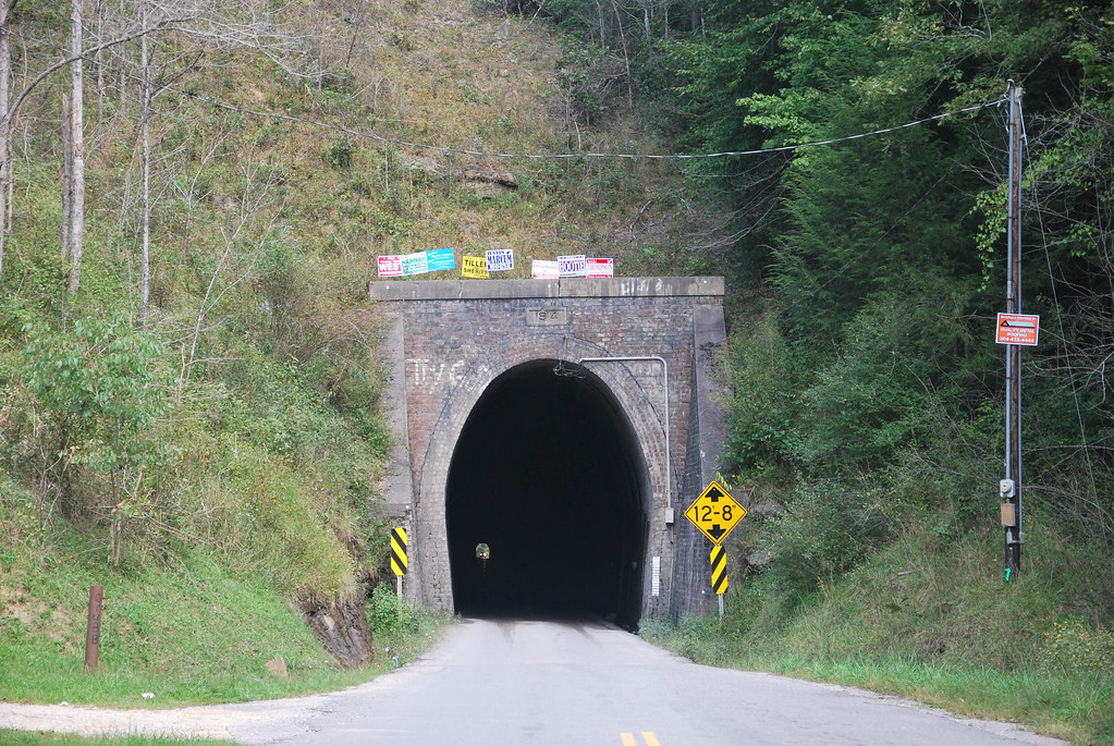
Dingess Tunnel
Breeden Tunnel
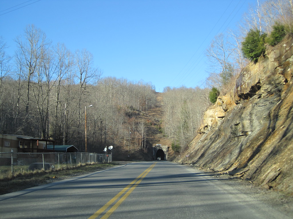
Dingess Tunnel
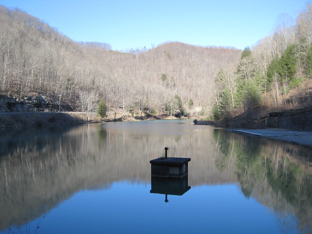
Laurel Lake
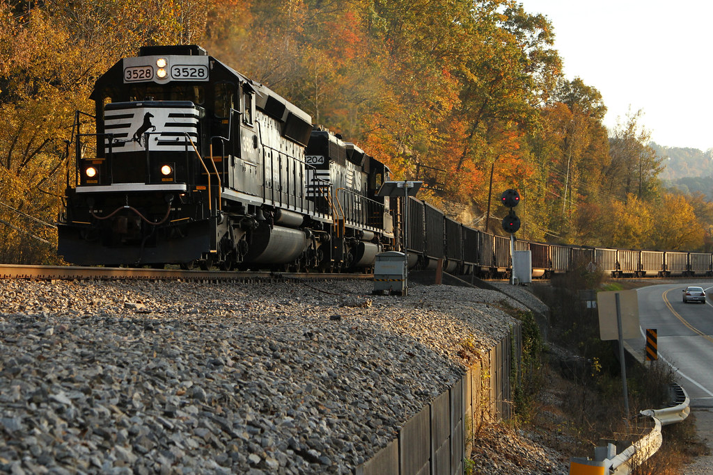
NS 80G @ Grey Eagle
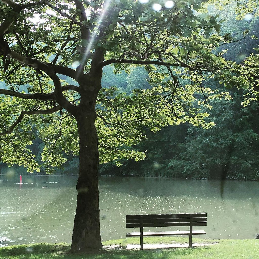
Bench At The Lake

Picnic Pringles
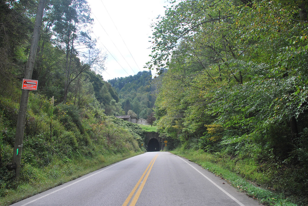
Dingess Tunnel

Norfolk Southern

Norfolk Southern

Bank of Mingo (Naugatuck, WV)

Abandoned Marathon (Naugatuck, WV)

Sunoco station (3/4)

Sunoco station (2/4)

Sunoco station (1/4)
Topographic Map of 91 Dingess Rd, Dingess, WV, USA
Find elevation by address:

Places near 91 Dingess Rd, Dingess, WV, USA:
Kermit Harvey
22 Breeden Crk, Breeden, WV, USA
Dingess
77 Laurel Crk, Lenore, WV, USA
13 Ajax Branch, Williamson, WV, USA
872 Wv-65
872 Wv-65
Mingo County
Tug Hardee
Lower Curry Cemetery
Lovely
Kermit
Stonecoal
48 Old Delta 48 Rd, Holden, WV, USA
Webb Street
Lee
21 Deskins Dr, Williamson, WV, USA
Shively, WV, USA
Winifrede St, Borderland, WV, USA
Delbarton
Recent Searches:
- Elevation of W Granada St, Tampa, FL, USA
- Elevation of Pykes Down, Ivybridge PL21 0BY, UK
- Elevation of Jalan Senandin, Lutong, Miri, Sarawak, Malaysia
- Elevation of Bilohirs'k
- Elevation of 30 Oak Lawn Dr, Barkhamsted, CT, USA
- Elevation of Luther Road, Luther Rd, Auburn, CA, USA
- Elevation of Unnamed Road, Respublika Severnaya Osetiya — Alaniya, Russia
- Elevation of Verkhny Fiagdon, North Ossetia–Alania Republic, Russia
- Elevation of F. Viola Hiway, San Rafael, Bulacan, Philippines
- Elevation of Herbage Dr, Gulfport, MS, USA