Elevation of Kelibia, Tunisia
Location: Tunisia > Nabeul > Hammam El Ghezaz >
Longitude: 11.0994667
Latitude: 36.8461602
Elevation: 9m / 30feet
Barometric Pressure: 101KPa
Elevation Map:
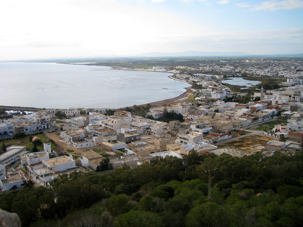
Satellite Map:
Related Photos:

Fort of Kelibia II

Horizon Lines

Fort of Kelibia I

keliba (17)
keliba (1)

Ancient Kerkouane

Coast at Kerkouane

Plage sauvage vers Kelibia

A bath in a house of...

#Kélibia #tunisiaa 2017

.

Plage vers Kelibia et voilier en mer

kerkouane (10)

Fort et phare de Kélibia

kerkouane (6)

kerkouane (20)

2018-02-06_03-32-56

kerkouane (2)

2014-03-25 12.43.25

2014-03-25 12.50.47

2014-03-25 12.59.23

Mare turchese

2014-03-25 13.00.05

2014-03-25 12.44.02

2014-03-25 12.46.42
Topographic Map of Kelibia, Tunisia
Find elevation by address:

Places near Kelibia, Tunisia:
Ecole Primaire De Sidi Boudhaoui
Hammam El Ghezaz
Nabeul
Carthage
Djebel Ressas
الحوامد
Rades
Rades
Delegation Of Ben Arous
El Khadra
Ben Arous
Tunis-carthage International Airport
Bab Bhar
Tunis
Ben Arous
Tunis
Cité Ezzouhour Ii
Kalaat El Andalous
Ghar Al Milh
Ariana
Recent Searches:
- Elevation of 24 Oakland Rd #, Scotland, ON N0E 1R0, Canada
- Elevation of Deep Gap Farm Rd E, Mill Spring, NC, USA
- Elevation of Dog Leg Dr, Minden, NV, USA
- Elevation of Dog Leg Dr, Minden, NV, USA
- Elevation of Kambingan Sa Pansol Atbp., Purok 7 Pansol, Candaba, Pampanga, Philippines
- Elevation of Pinewood Dr, New Bern, NC, USA
- Elevation of Mountain View, CA, USA
- Elevation of Foligno, Province of Perugia, Italy
- Elevation of Blauwestad, Netherlands
- Elevation of Bella Terra Blvd, Estero, FL, USA