Elevation of Ecole Primaire de Sidi Boudhaoui, Kelibia, Tunisia
Location: Tunisia > Nabeul > Hammam El Ghezaz > Kelibia >
Longitude: 11.098026
Latitude: 36.8481998
Elevation: 12m / 39feet
Barometric Pressure: 101KPa
Elevation Map:
Satellite Map:
Related Photos:
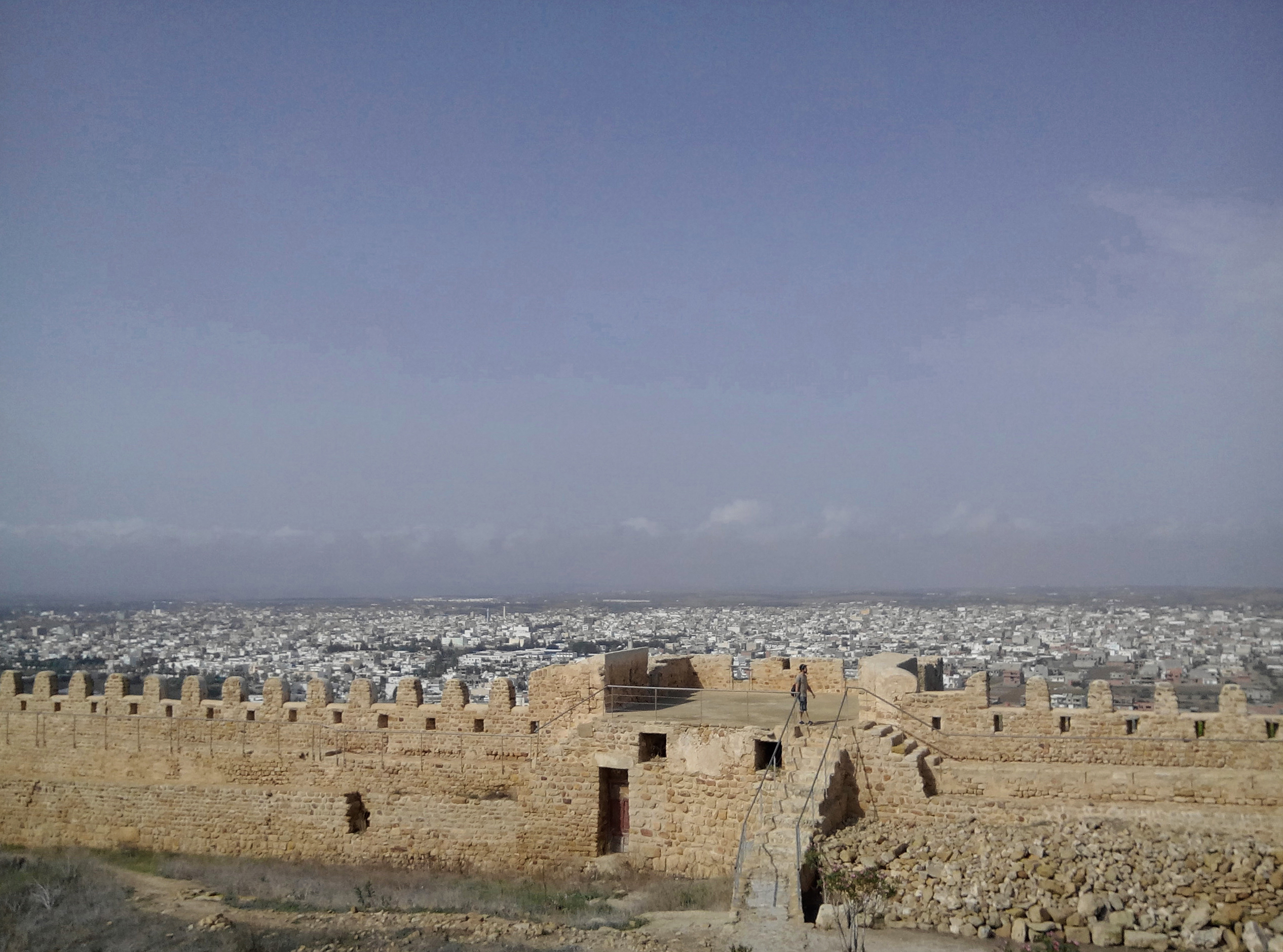
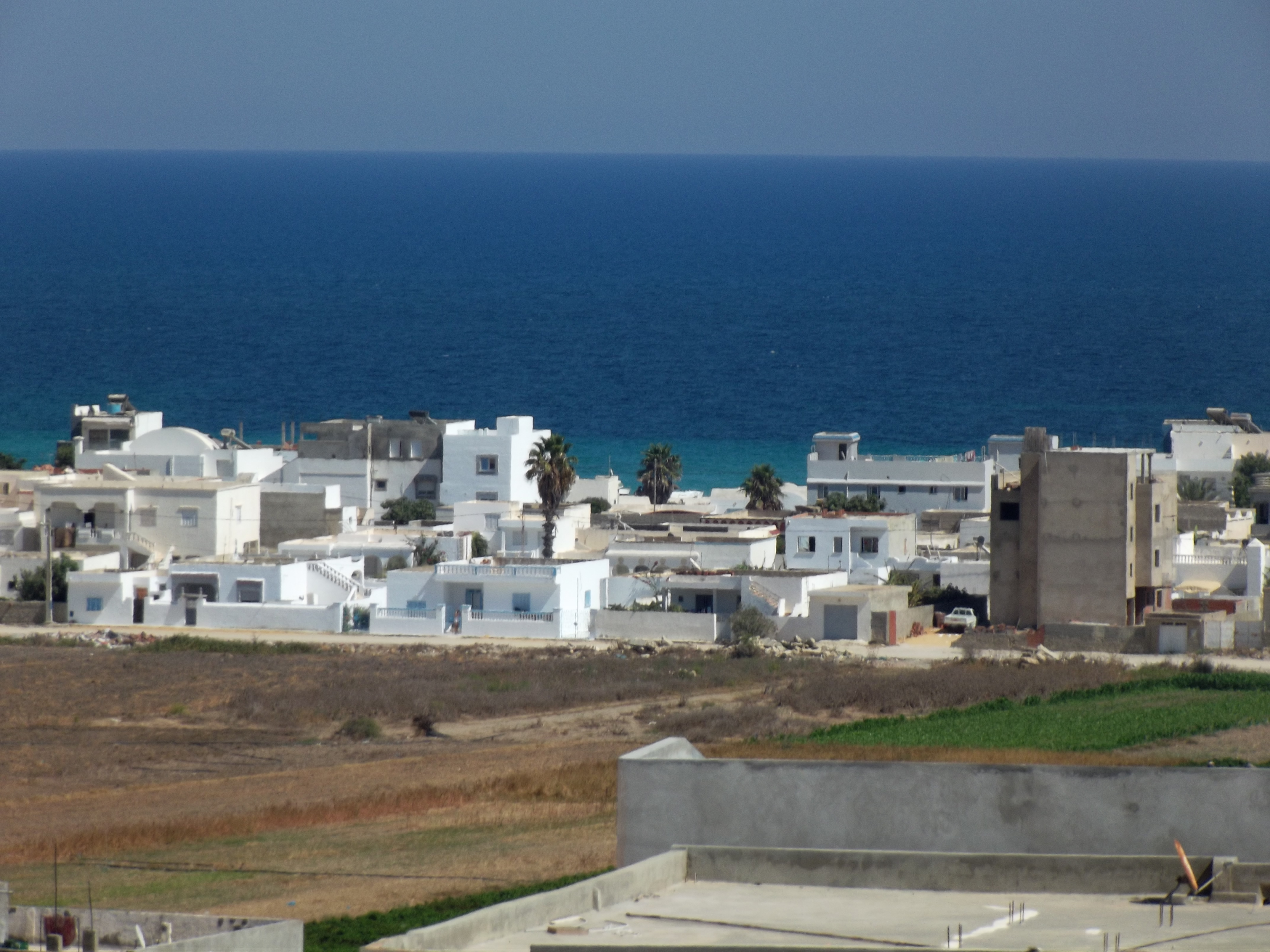
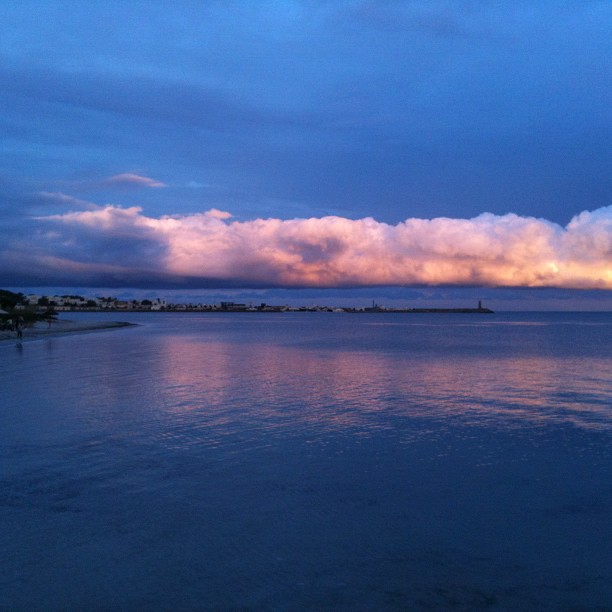
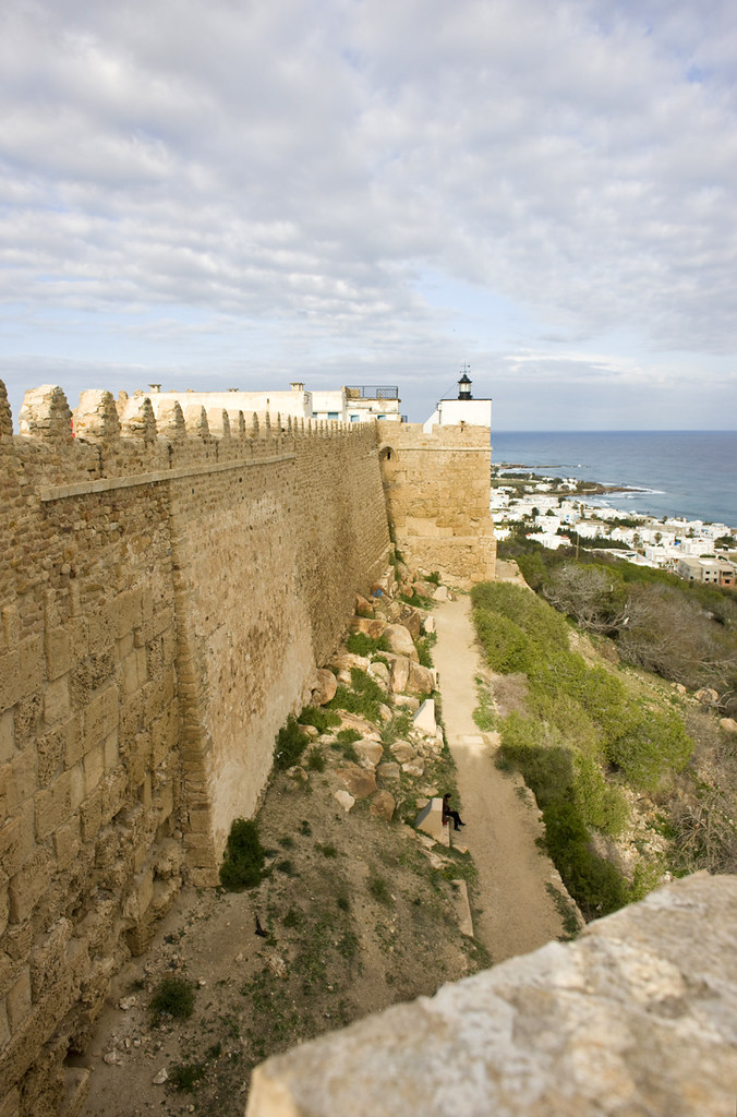
Fort of Kelibia II
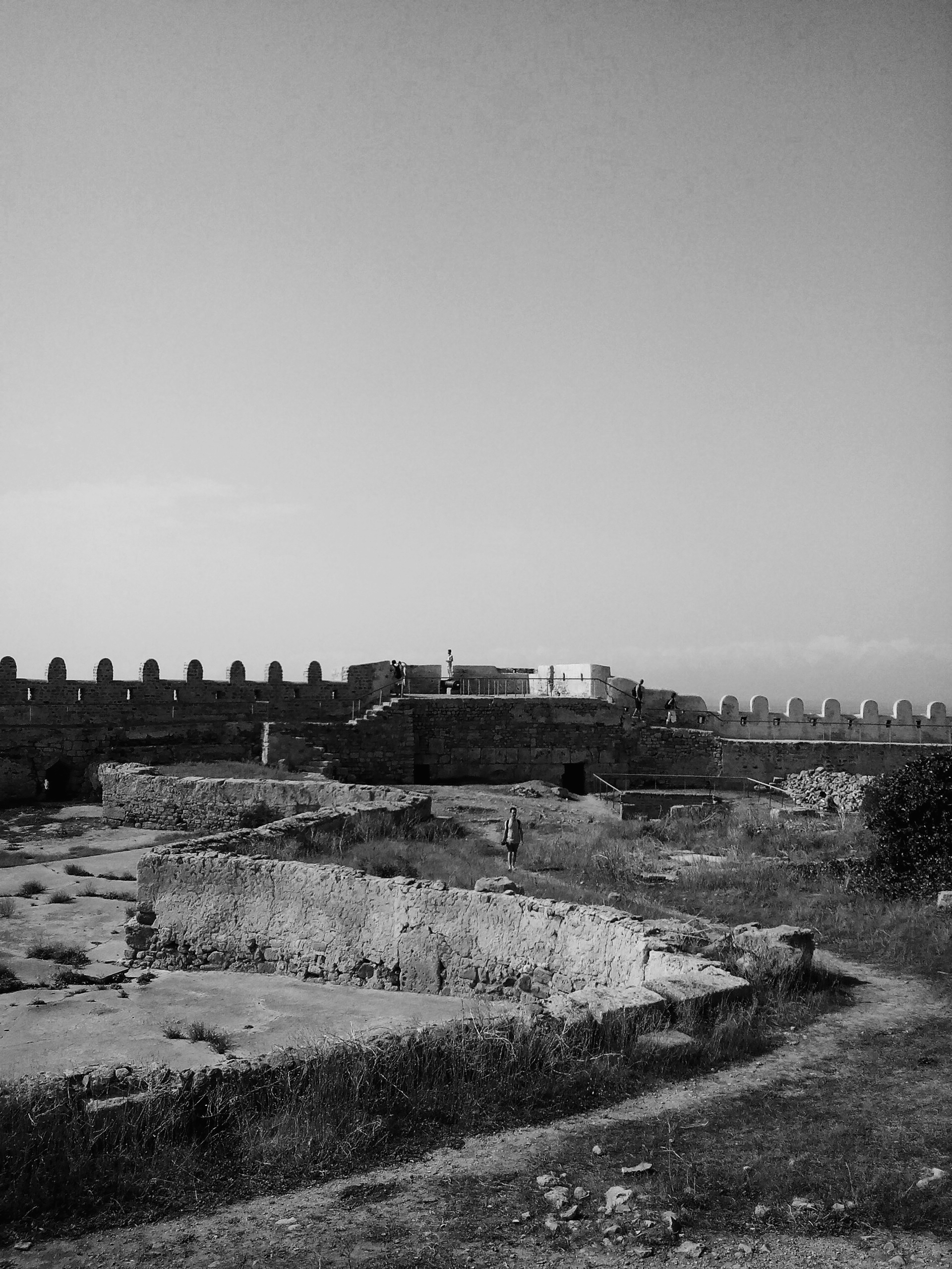
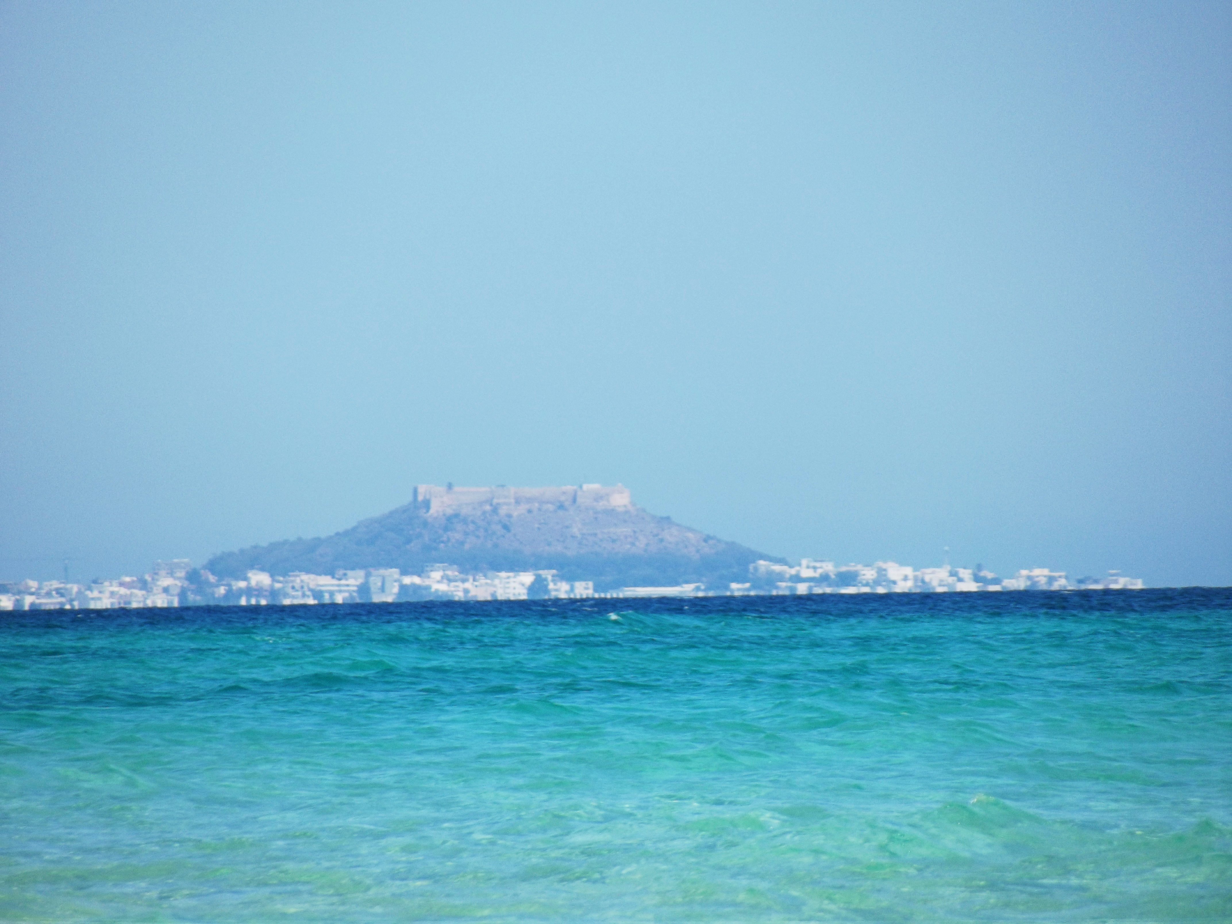
Fort of Kelibia I

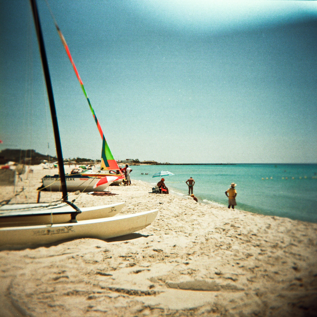
keliba (1)

keliba (17)
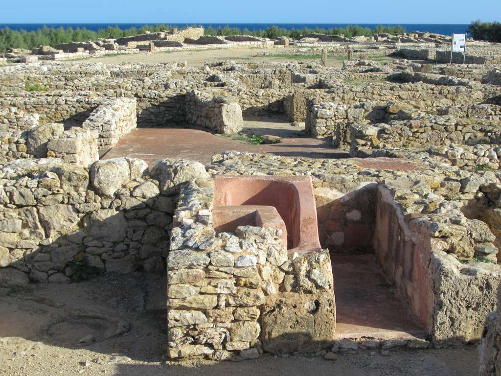
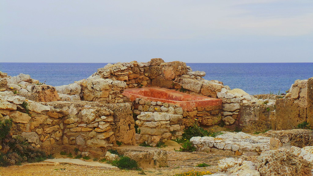
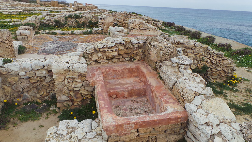
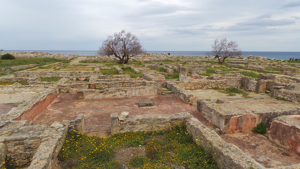
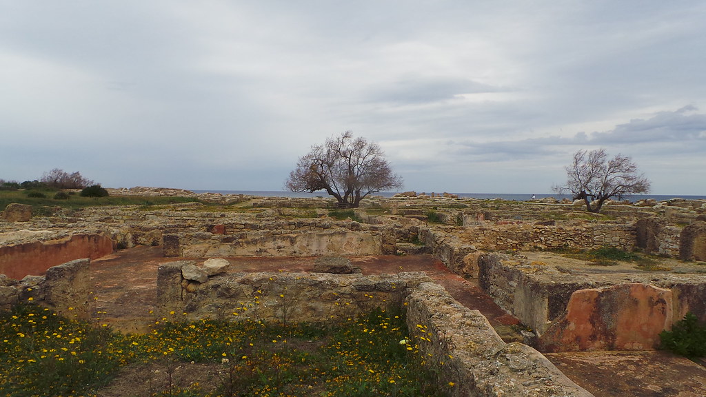
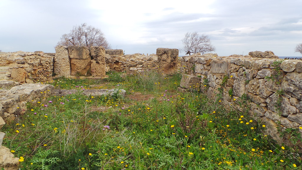
Ancient Kerkouane
A bath in a house of...

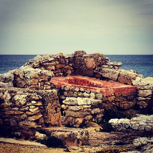
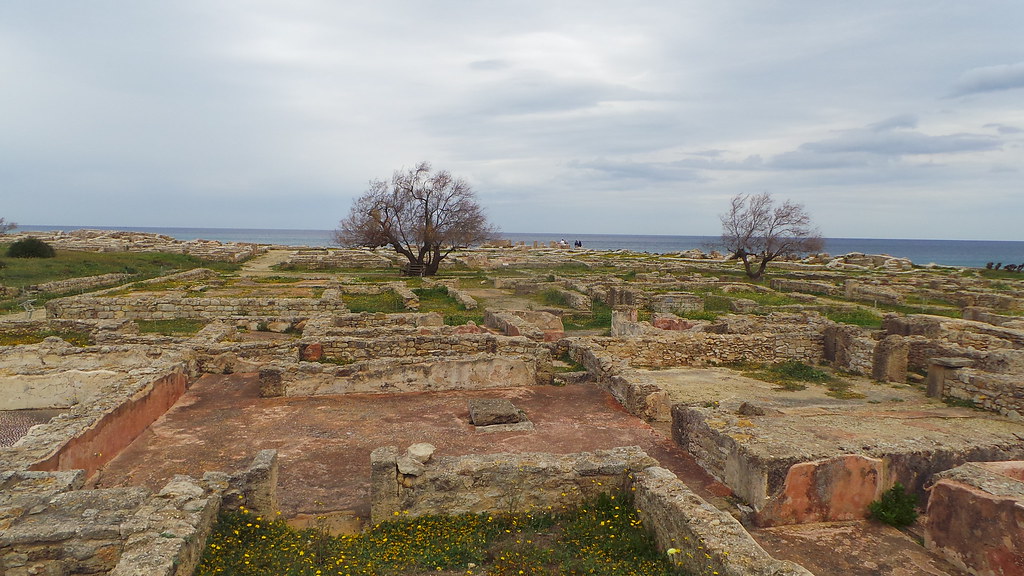
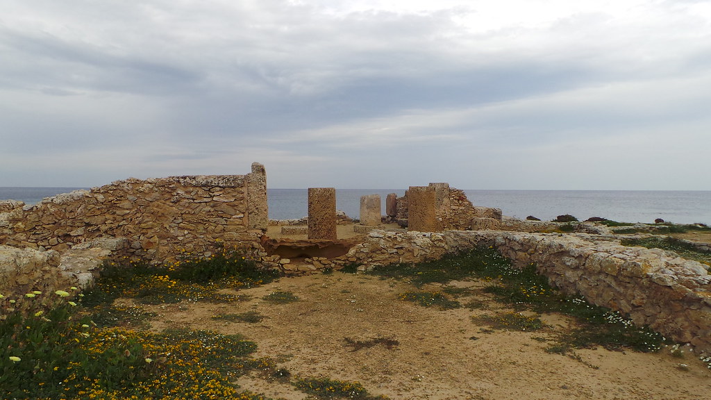
Coast at Kerkouane
Memzel Temime
Memzel Temime
Memzel Temime
.
Plus naturel que ça!
2014-03-25 12.43.25
Memzel Temime
2014-03-25 12.27.25
2014-03-25 12.44.02
keliba (15)
2014-03-25 12.27.30

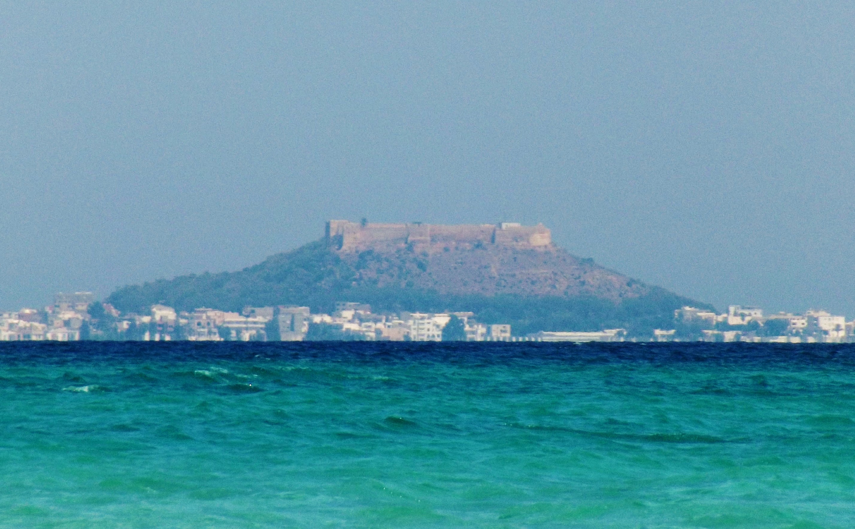
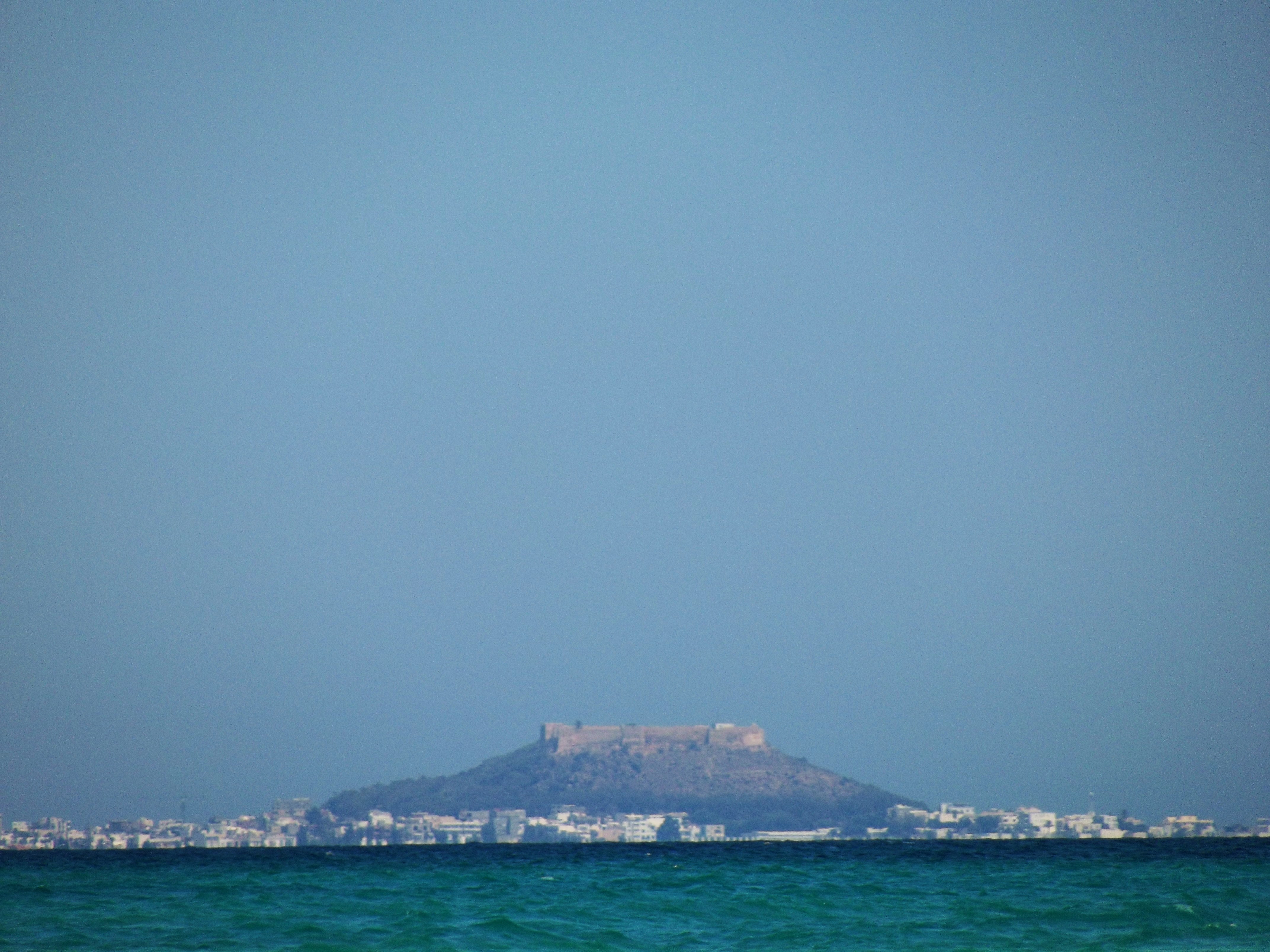
Fort et phare de Kélibia

2014-03-25 12.39.28
2014-03-25 12.26.28
2014-03-25 12.28.10
2014-03-25 12.48.18
2018-02-06_03-32-56
I believe i can fly .. I believe i can touch the sky .. . Good afternoon ✨
Topographic Map of Ecole Primaire de Sidi Boudhaoui, Kelibia, Tunisia
Find elevation by address:

Places near Ecole Primaire de Sidi Boudhaoui, Kelibia, Tunisia:
Kelibia
Hammam El Ghezaz
Nabeul
Carthage
Djebel Ressas
الحوامد
Rades
Rades
Delegation Of Ben Arous
El Khadra
Ben Arous
Tunis-carthage International Airport
Bab Bhar
Tunis
Ben Arous
Tunis
Kalaat El Andalous
Cité Ezzouhour Ii
Ghar Al Milh
Ariana
Recent Searches:
- Elevation of 62 Abbey St, Marshfield, MA, USA
- Elevation of Fernwood, Bradenton, FL, USA
- Elevation of Felindre, Swansea SA5 7LU, UK
- Elevation of Leyte Industrial Development Estate, Isabel, Leyte, Philippines
- Elevation of W Granada St, Tampa, FL, USA
- Elevation of Pykes Down, Ivybridge PL21 0BY, UK
- Elevation of Jalan Senandin, Lutong, Miri, Sarawak, Malaysia
- Elevation of Bilohirs'k
- Elevation of 30 Oak Lawn Dr, Barkhamsted, CT, USA
- Elevation of Luther Road, Luther Rd, Auburn, CA, USA