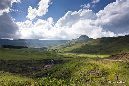
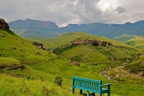
Elevation of Kamberg Valley Hideaway, 29°19'25.5"S 29°41'43.4"E Highmoor Road Kamberg Kamberg Valley, South Africa
Location: South Africa > Kwazulu-natal > Indlovu Dc > Mpofana Local Municipality >
Longitude: 29.6953423
Latitude: -29.324114
Elevation: 1569m / 5148feet
Barometric Pressure: 84KPa
Related Photos:
Topographic Map of Kamberg Valley Hideaway, 29°19'25.5"S 29°41'43.4"E Highmoor Road Kamberg Kamberg Valley, South Africa
Find elevation by address:

Places near Kamberg Valley Hideaway, 29°19'25.5"S 29°41'43.4"E Highmoor Road Kamberg Kamberg Valley, South Africa:
Maloti-drakensberg Park
Nottingham Road
Blue Haze Country Lodge & Conference Centre
Mooi River
Estcourt
Howick
Mpofana Local Municipality
Curry's Post
Howick
Midmar Water Treatment Works
32 Karkloof Rd
Karkloof Road
Uthukela Dc
Indlovu Dc
Ladysmith
Wartburg
Ladysmith
Cwaka Clinic - T B Clinic
Greytown
Dumbe
Recent Searches:
- Elevation of Co Rd 87, Jamestown, CO, USA
- Elevation of Tenjo, Cundinamarca, Colombia
- Elevation of Côte-des-Neiges, Montreal, QC H4A 3J6, Canada
- Elevation of Bobcat Dr, Helena, MT, USA
- Elevation of Zu den Ihlowbergen, Althüttendorf, Germany
- Elevation of Badaber, Peshawar, Khyber Pakhtunkhwa, Pakistan
- Elevation of SE Heron Loop, Lincoln City, OR, USA
- Elevation of Slanický ostrov, 01 Námestovo, Slovakia
- Elevation of Spaceport America, Co Rd A, Truth or Consequences, NM, USA
- Elevation of Warwick, RI, USA


