Elevation of Mpofana Local Municipality, South Africa
Location: South Africa > Kwazulu-natal > Indlovu Dc >
Longitude: 30.112735
Latitude: -29.188847
Elevation: 1402m / 4600feet
Barometric Pressure: 86KPa
Elevation Map:
Satellite Map:
Related Photos:

What a view

Karkloof Falls

Snow on the Hills

From the top

Near Mooirivier

From the top

From the top

Small Lake

Snow in South Africa(22).jpg(2)(22).((6)
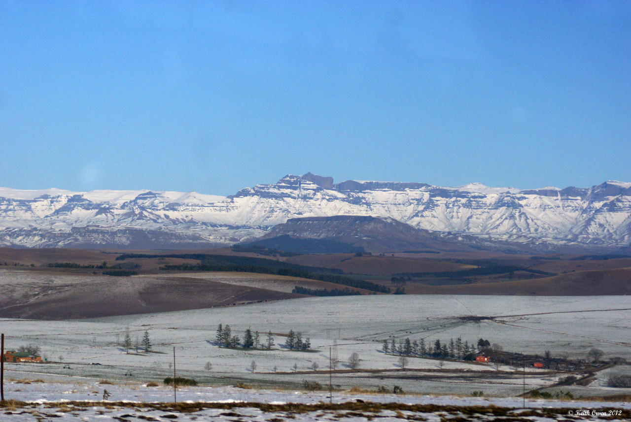
Snow On the Mountains

Oct 3, 2008
Topographic Map of Mpofana Local Municipality, South Africa
Find elevation by address:

Places near Mpofana Local Municipality, South Africa:
Mooi River
Curry's Post
Nottingham Road
Howick
Estcourt
Karkloof Road
32 Karkloof Rd
Howick
Blue Haze Country Lodge & Conference Centre
Midmar Water Treatment Works
Indlovu Dc
Kamberg Valley Hideaway
Wartburg
Greytown
Cwaka Clinic - T B Clinic
Maloti-drakensberg Park
Cwaka
Dumbe
Harburg
Ladysmith
Recent Searches:
- Elevation of Congressional Dr, Stevensville, MD, USA
- Elevation of Bellview Rd, McLean, VA, USA
- Elevation of Stage Island Rd, Chatham, MA, USA
- Elevation of Shibuya Scramble Crossing, 21 Udagawacho, Shibuya City, Tokyo -, Japan
- Elevation of Jadagoniai, Kaunas District Municipality, Lithuania
- Elevation of Pagonija rock, Kranto 7-oji g. 8"N, Kaunas, Lithuania
- Elevation of Co Rd 87, Jamestown, CO, USA
- Elevation of Tenjo, Cundinamarca, Colombia
- Elevation of Côte-des-Neiges, Montreal, QC H4A 3J6, Canada
- Elevation of Bobcat Dr, Helena, MT, USA