Elevation map of Ladysmith, South Africa
Location: South Africa > Kwazulu-natal > Uthukela Dc >
Longitude: 29.6962677
Latitude: -28.401568
Elevation: 1158m / 3799feet
Barometric Pressure: 88KPa
Elevation Map:
Satellite Map:
Related Photos:
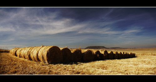
Looking for the Needle
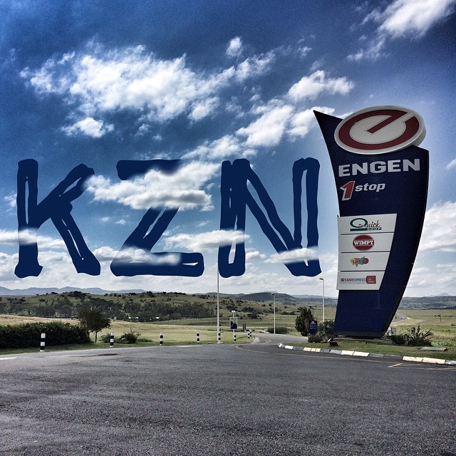
#roadtrip #SouthAfrica #twenty15 #KZN
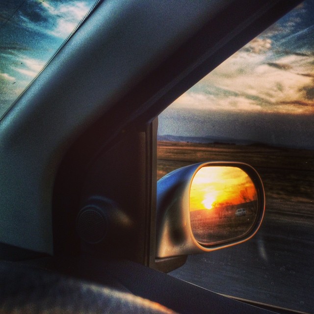
The fascination with the setting sun continues. #sunset #roadtrip #rearview #latergram
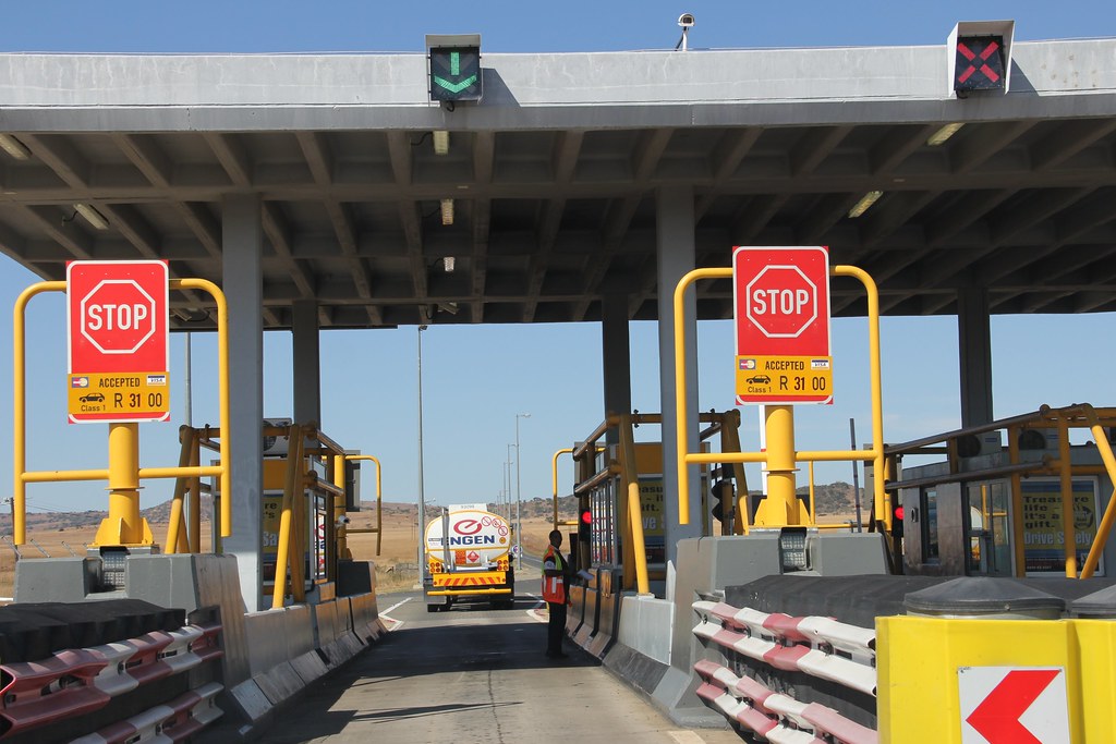
Tugela East Plaza (R31.00)
Topographic Map of Ladysmith, South Africa
Find elevation by address:

Places in Ladysmith, South Africa:
Places near Ladysmith, South Africa:
Ladysmith
Uthukela Dc
Dundee
Estcourt
Blue Haze Country Lodge & Conference Centre
Dumbe
Cwaka
Cwaka Clinic - T B Clinic
Mooi River
Mpofana Local Municipality
Kamberg Valley Hideaway
(south) Umzinyathi Dc
Maloti-drakensberg Park
Nottingham Road
Curry's Post
Greytown
Howick
Karkloof Road
32 Karkloof Rd
Howick
Recent Searches:
- Elevation of 30 Oak Lawn Dr, Barkhamsted, CT, USA
- Elevation of Luther Road, Luther Rd, Auburn, CA, USA
- Elevation of Unnamed Road, Respublika Severnaya Osetiya — Alaniya, Russia
- Elevation of Verkhny Fiagdon, North Ossetia–Alania Republic, Russia
- Elevation of F. Viola Hiway, San Rafael, Bulacan, Philippines
- Elevation of Herbage Dr, Gulfport, MS, USA
- Elevation of Lilac Cir, Haldimand, ON N3W 2G9, Canada
- Elevation of Harrod Branch Road, Harrod Branch Rd, Kentucky, USA
- Elevation of Wyndham Grand Barbados Sam Lords Castle All Inclusive Resort, End of Belair Road, Long Bay, Bridgetown Barbados
- Elevation of Iga Trl, Maggie Valley, NC, USA